Elevation of Terry, KS, USA
Location: United States > Kansas > Finney County >
Longitude: -101.02592
Latitude: 38.1751161
Elevation: 894m / 2933feet
Barometric Pressure: 91KPa
Elevation Map:
Satellite Map:
Related Photos:
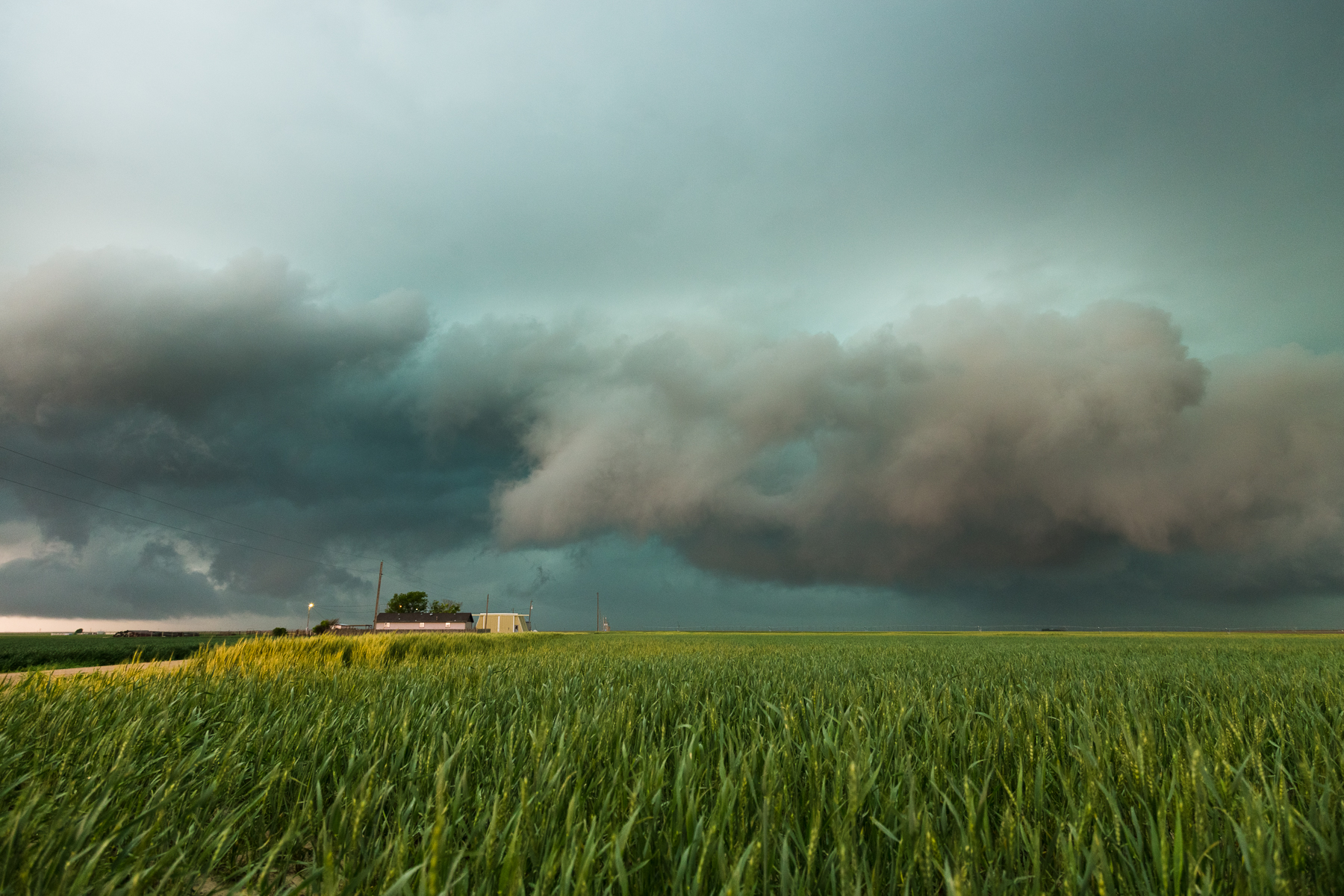
IMG_1397.jpg
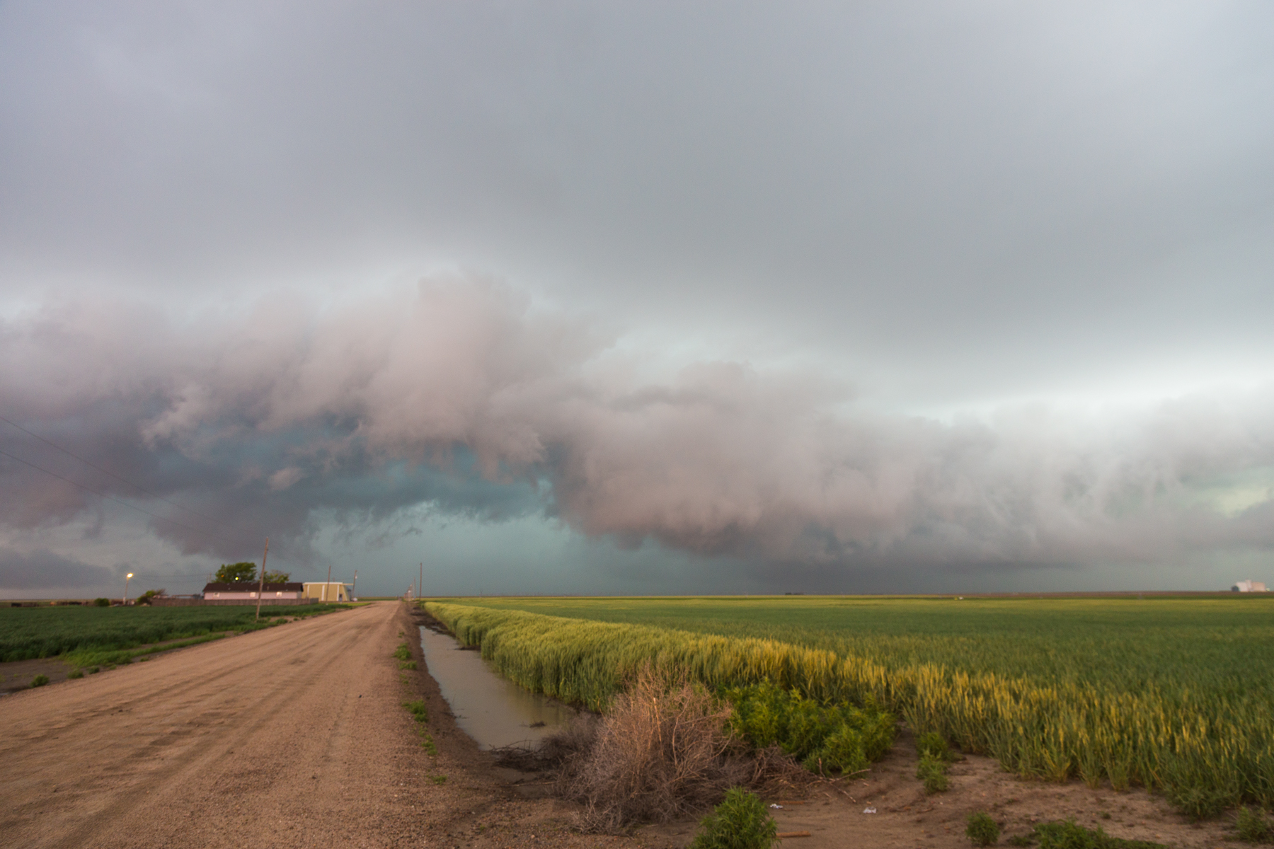
IMG_1392.jpg

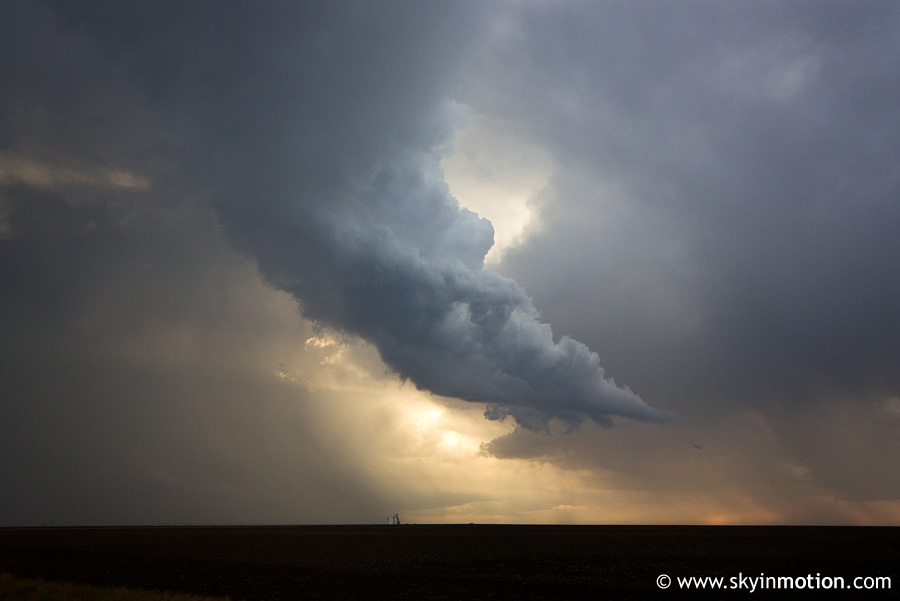
20120615-IMG_7898
2011-10-07_7450
Topographic Map of Terry, KS, USA
Find elevation by address:

Places in Terry, KS, USA:
Places near Terry, KS, USA:
W Gano Rd, Garden City, KS, USA
E Kansas Ave, Garden City, KS, USA
W Lowe Rd, Holcomb, KS, USA
W Lowe Rd, Deerfield, KS, USA
Finney County
Holcomb
108 Kristi Ln
Garden City
Jones Ave, Garden City, KS, USA
1413 W Mary St
2123 Buffalo Jones Ave
Garden City
806 N 1st St
911 Myrtle St
Scott City
Scott County
Beaver
11260 W Rd 240
W Rd, Scott City, KS, USA
Garfield
Recent Searches:
- Elevation of Corso Fratelli Cairoli, 35, Macerata MC, Italy
- Elevation of Tallevast Rd, Sarasota, FL, USA
- Elevation of 4th St E, Sonoma, CA, USA
- Elevation of Black Hollow Rd, Pennsdale, PA, USA
- Elevation of Oakland Ave, Williamsport, PA, USA
- Elevation of Pedrógão Grande, Portugal
- Elevation of Klee Dr, Martinsburg, WV, USA
- Elevation of Via Roma, Pieranica CR, Italy
- Elevation of Tavkvetili Mountain, Georgia
- Elevation of Hartfords Bluff Cir, Mt Pleasant, SC, USA