Elevation of Terrain Militaire, Briffons, France
Location: France > Puy-de-dome > Auvergne > Briffons >
Longitude: 2.60216300
Latitude: 45.695028
Elevation: 824m / 2703feet
Barometric Pressure: 92KPa
Elevation Map:
Satellite Map:
Related Photos:
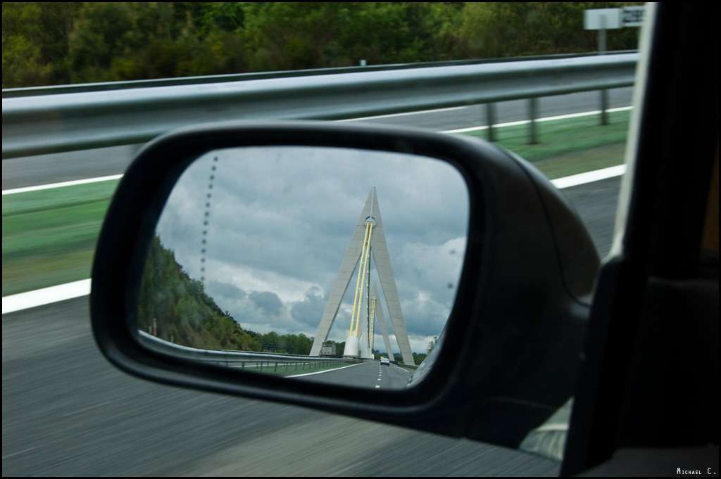
A89 - Viaduc de Chavanon (360m)
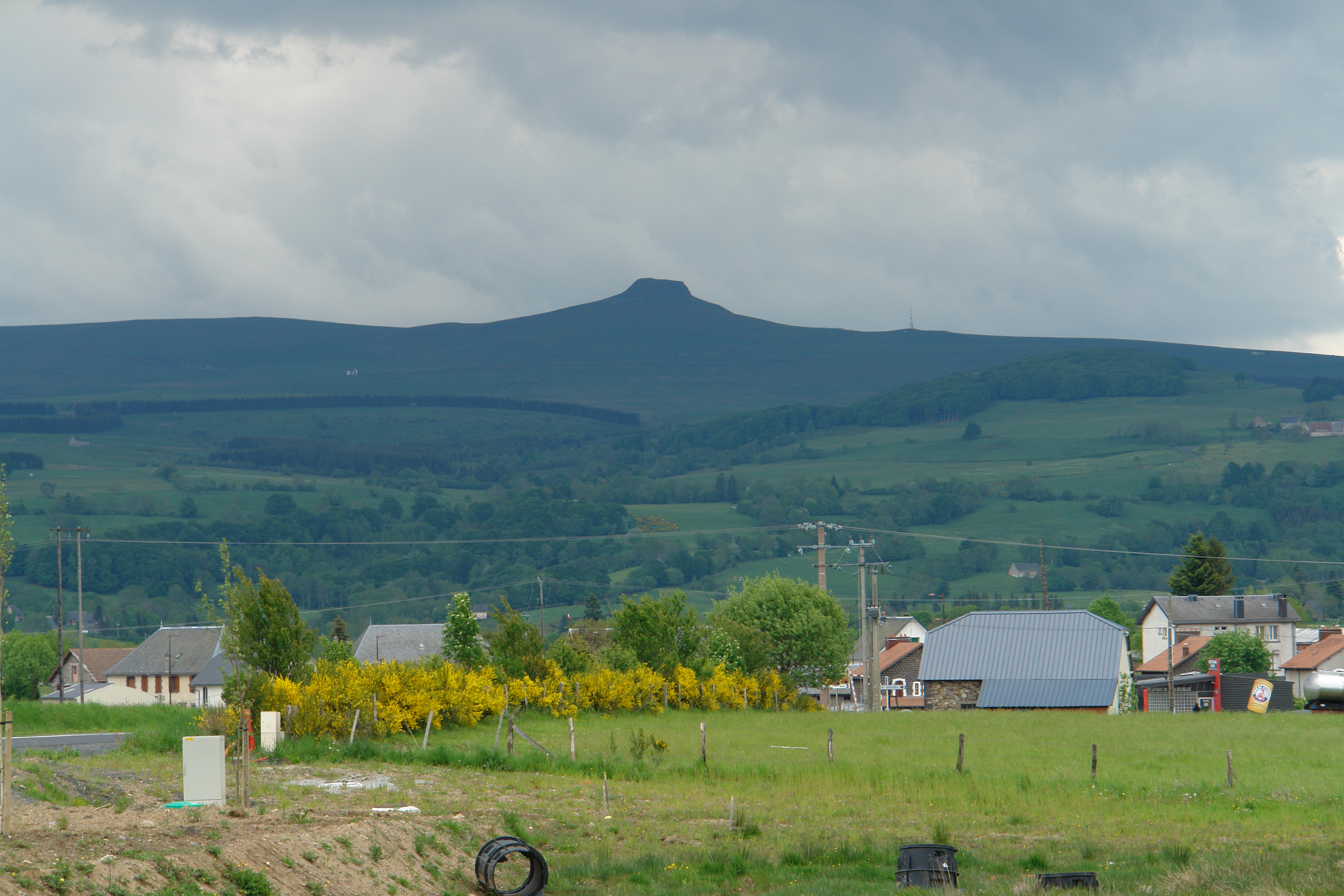
La Banne d'Ordanche
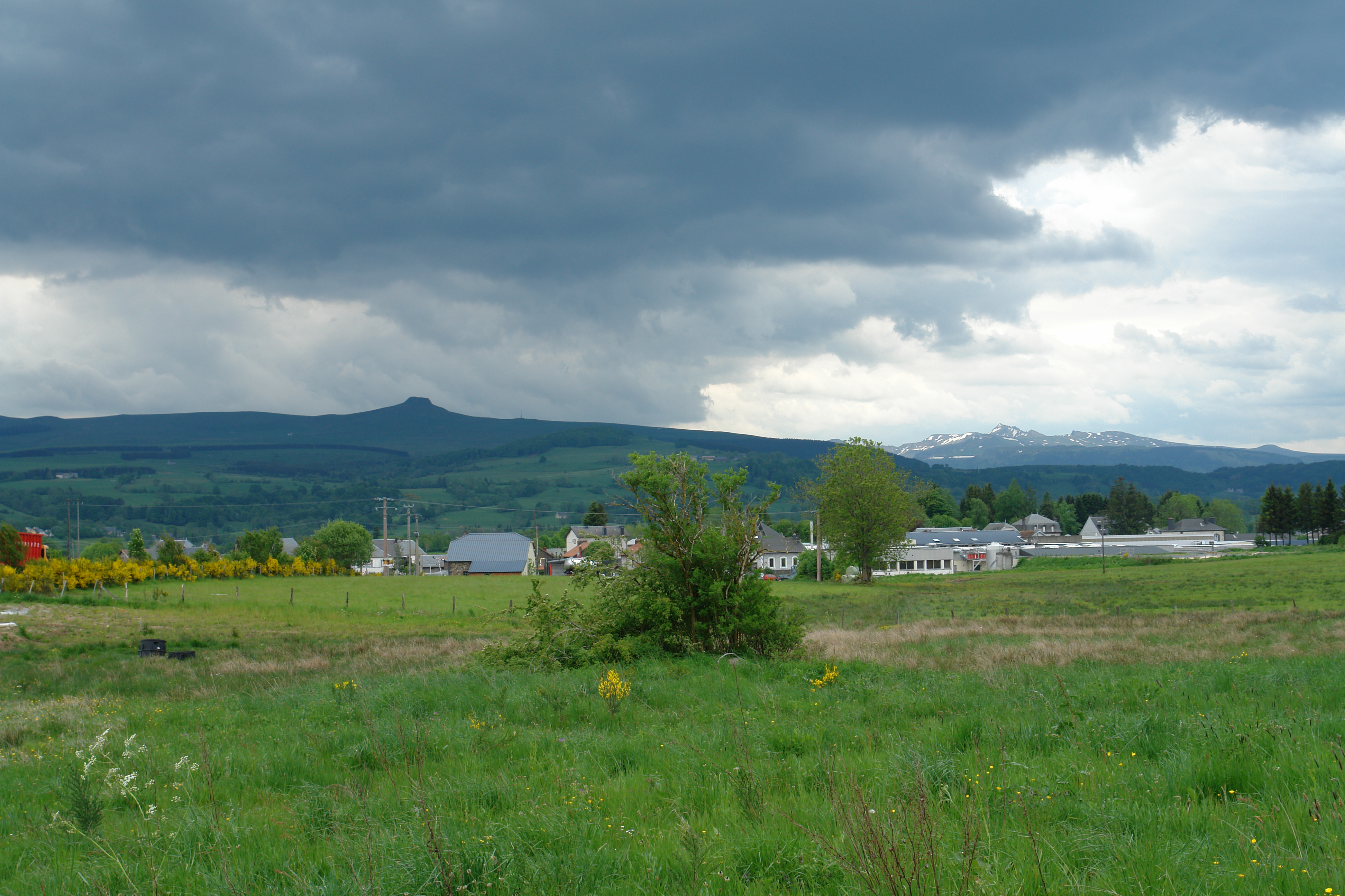
The mountains of Mont Dore and La Banne d'Ordanche
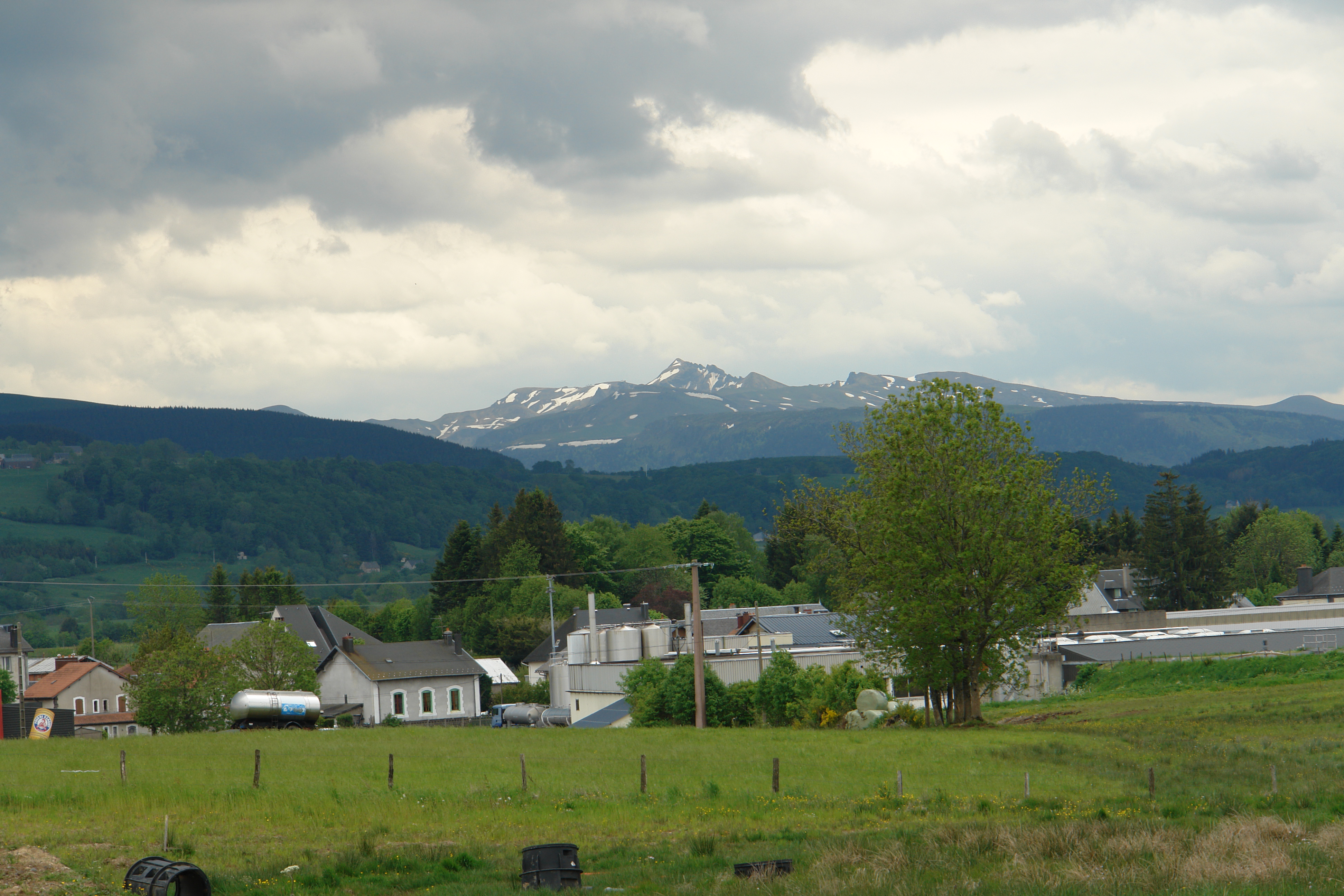
The mountains of Mont Dore
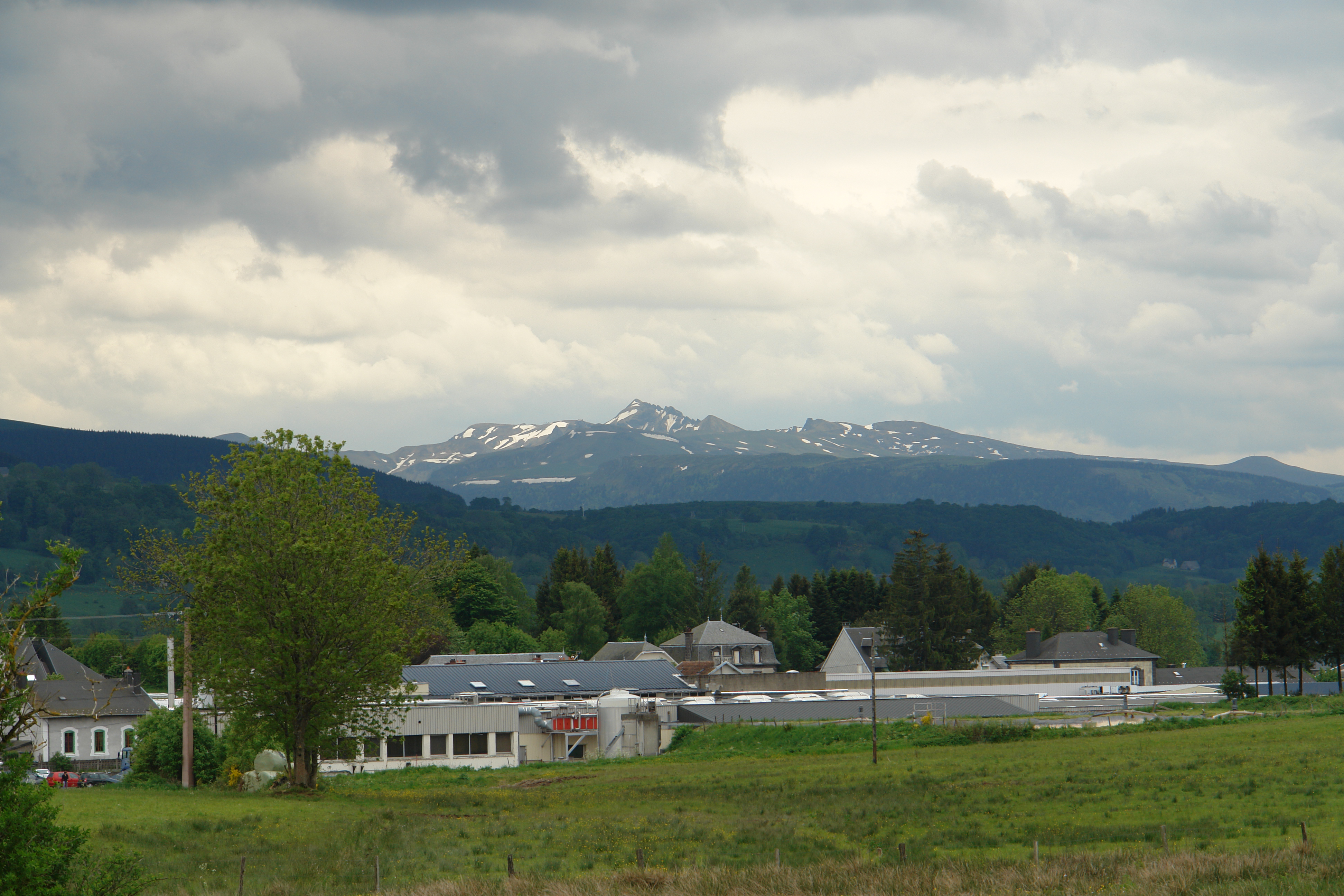
The mountains of Mont Dore
Topographic Map of Terrain Militaire, Briffons, France
Find elevation by address:

Places near Terrain Militaire, Briffons, France:
Lastic
Brg de Lastic, Lastic, France
Corne, Bourg-Lastic, France
Briffons
Bourg-lastic
Saint-julien-puy-lavèze
Meymont
Laroche-près-feyt
Gare de Laqueuille, Saint-Julien-Puy-Lavèze, France
15 Brg de Laqueuille, Laqueuille, France
Laqueuille
Giat
3 Grand Rue, Giat, France
6 Le Bourg, Landogne, France
Landogne
4 Mercin, Mérinchal, France
Le Mont-dore
Mérinchal
Ussel
Château De La Diège
Recent Searches:
- Elevation of Corso Fratelli Cairoli, 35, Macerata MC, Italy
- Elevation of Tallevast Rd, Sarasota, FL, USA
- Elevation of 4th St E, Sonoma, CA, USA
- Elevation of Black Hollow Rd, Pennsdale, PA, USA
- Elevation of Oakland Ave, Williamsport, PA, USA
- Elevation of Pedrógão Grande, Portugal
- Elevation of Klee Dr, Martinsburg, WV, USA
- Elevation of Via Roma, Pieranica CR, Italy
- Elevation of Tavkvetili Mountain, Georgia
- Elevation of Hartfords Bluff Cir, Mt Pleasant, SC, USA