Elevation of Tepuzhuacán, Nay., Mexico
Location: Mexico > Nayarit > Amatlán De Cañas >
Longitude: -104.51964
Latitude: 20.8775793
Elevation: 581m / 1906feet
Barometric Pressure: 95KPa
Elevation Map:
Satellite Map:
Related Photos:
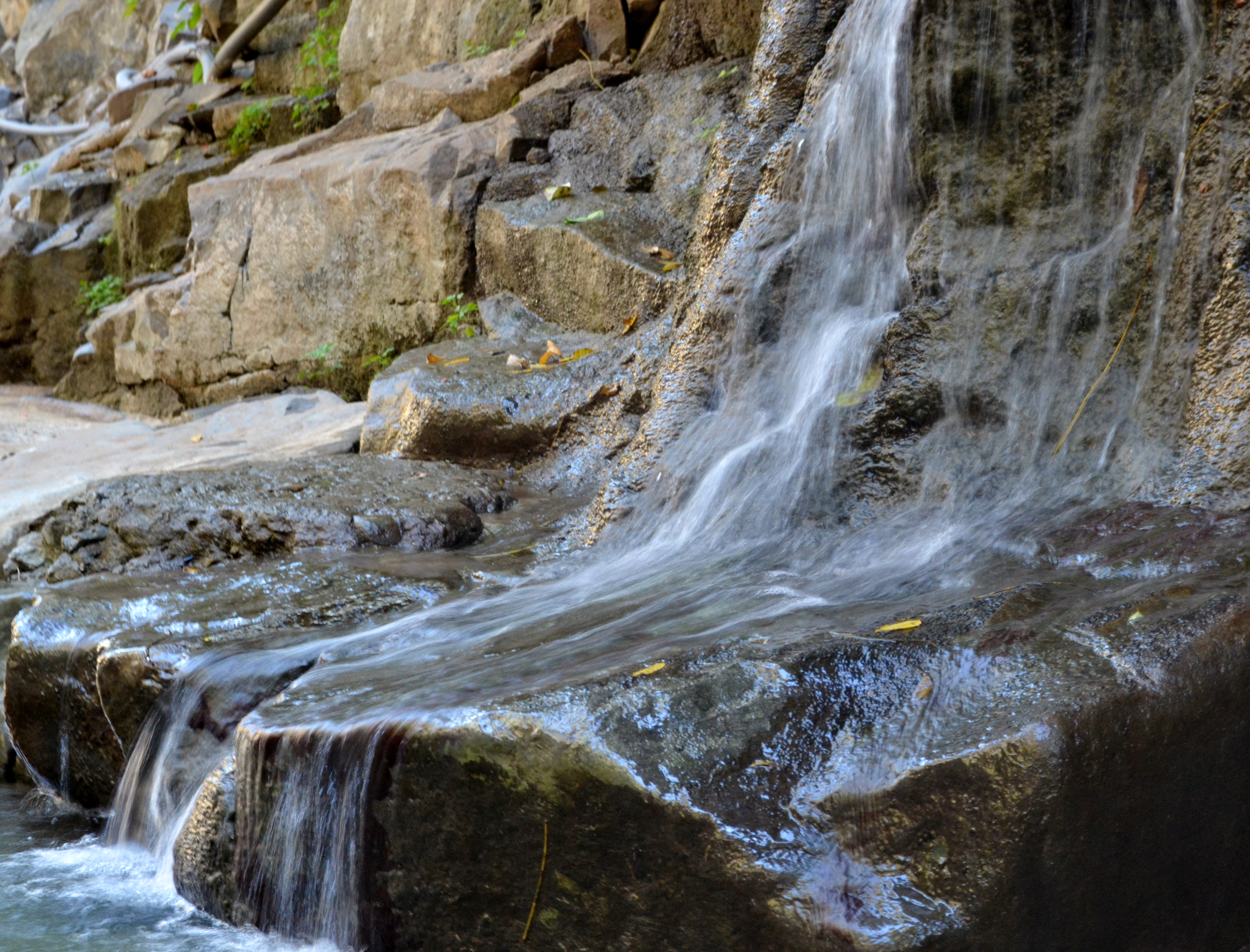
Mini Waterfall
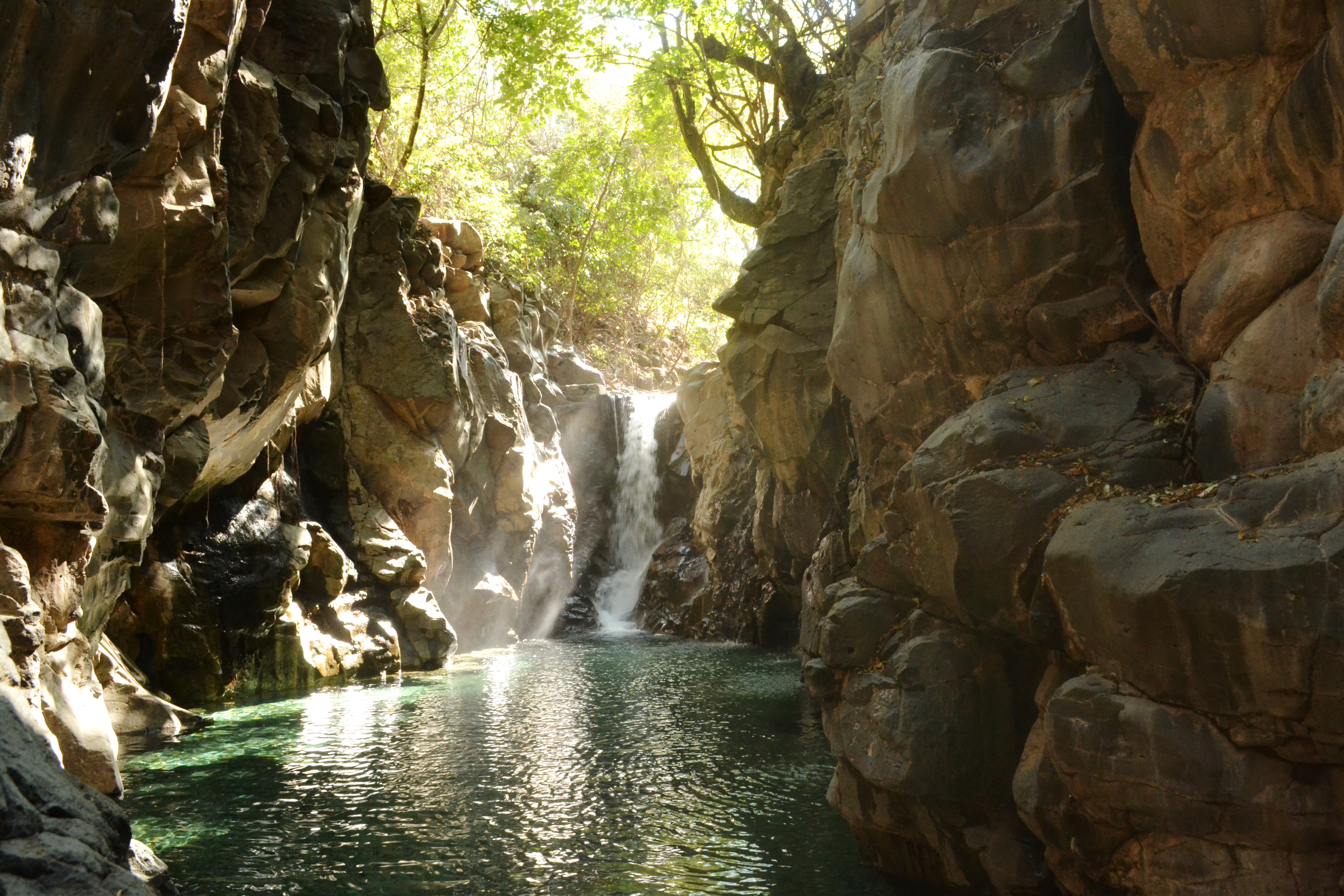
Hidden Waterfall

El Rosario, Nayarit

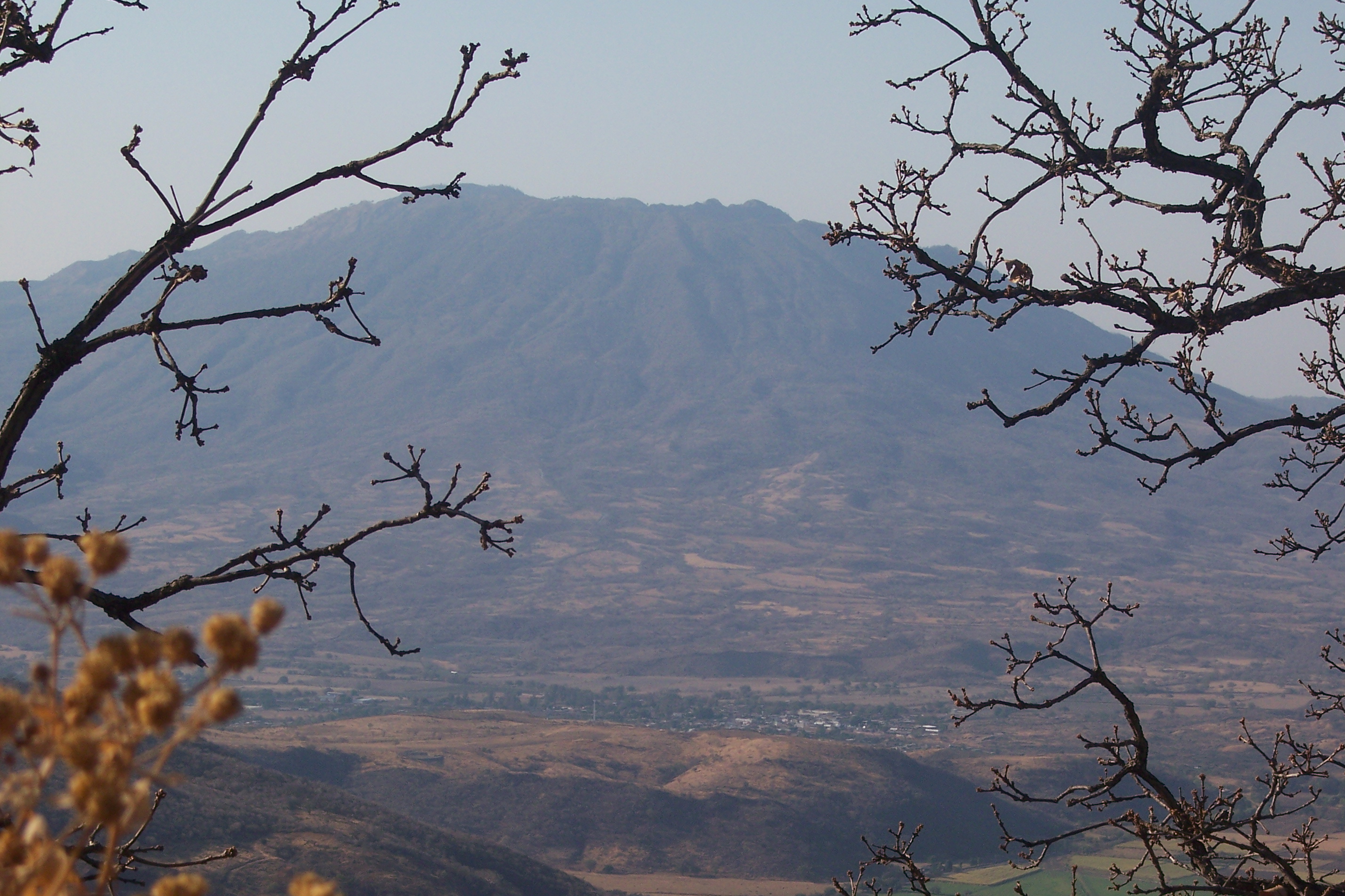
Entre ramas

Small town night life
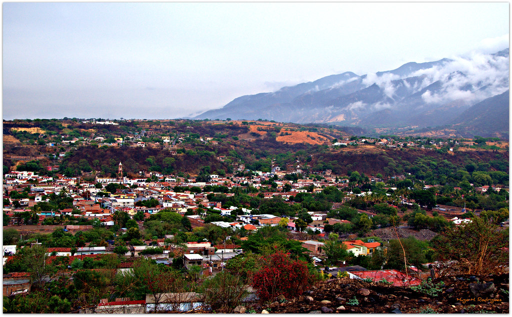
Amatlán de Cañas

Agua de Manantial
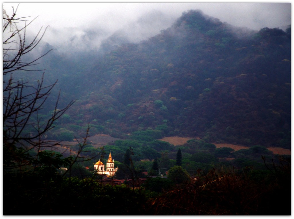
Neblina en la sierra
Ahuacatlan y el Volcan el Ceboruco
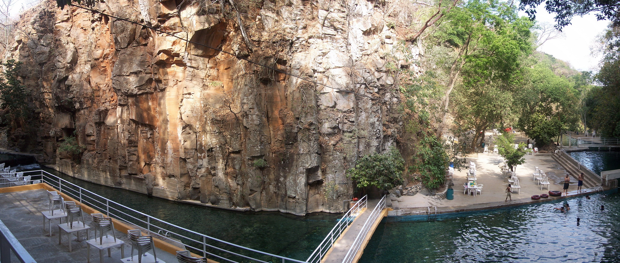
Panoramica del Balneario El Manto desde las escaleras 3/3
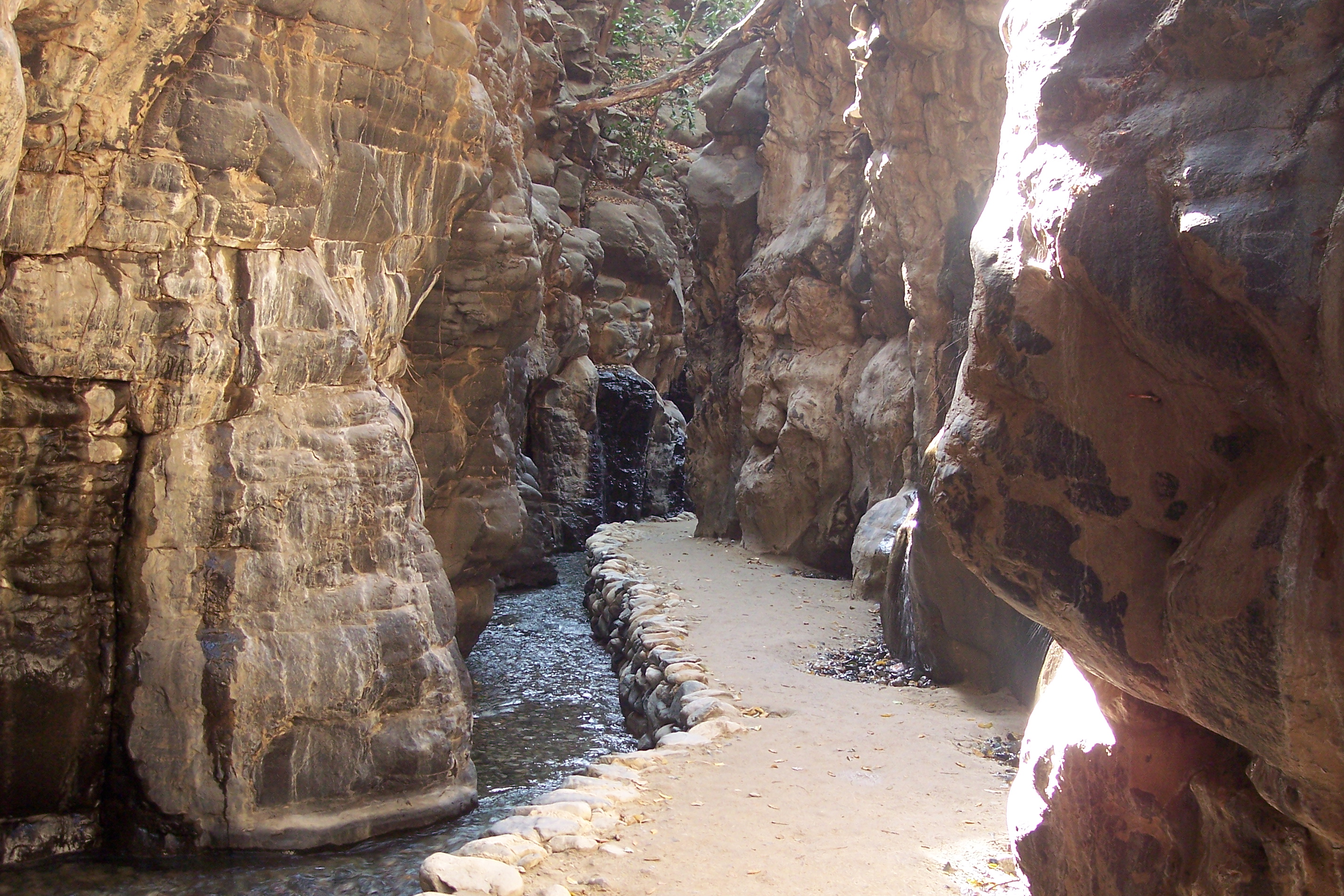
Camino a la cascada
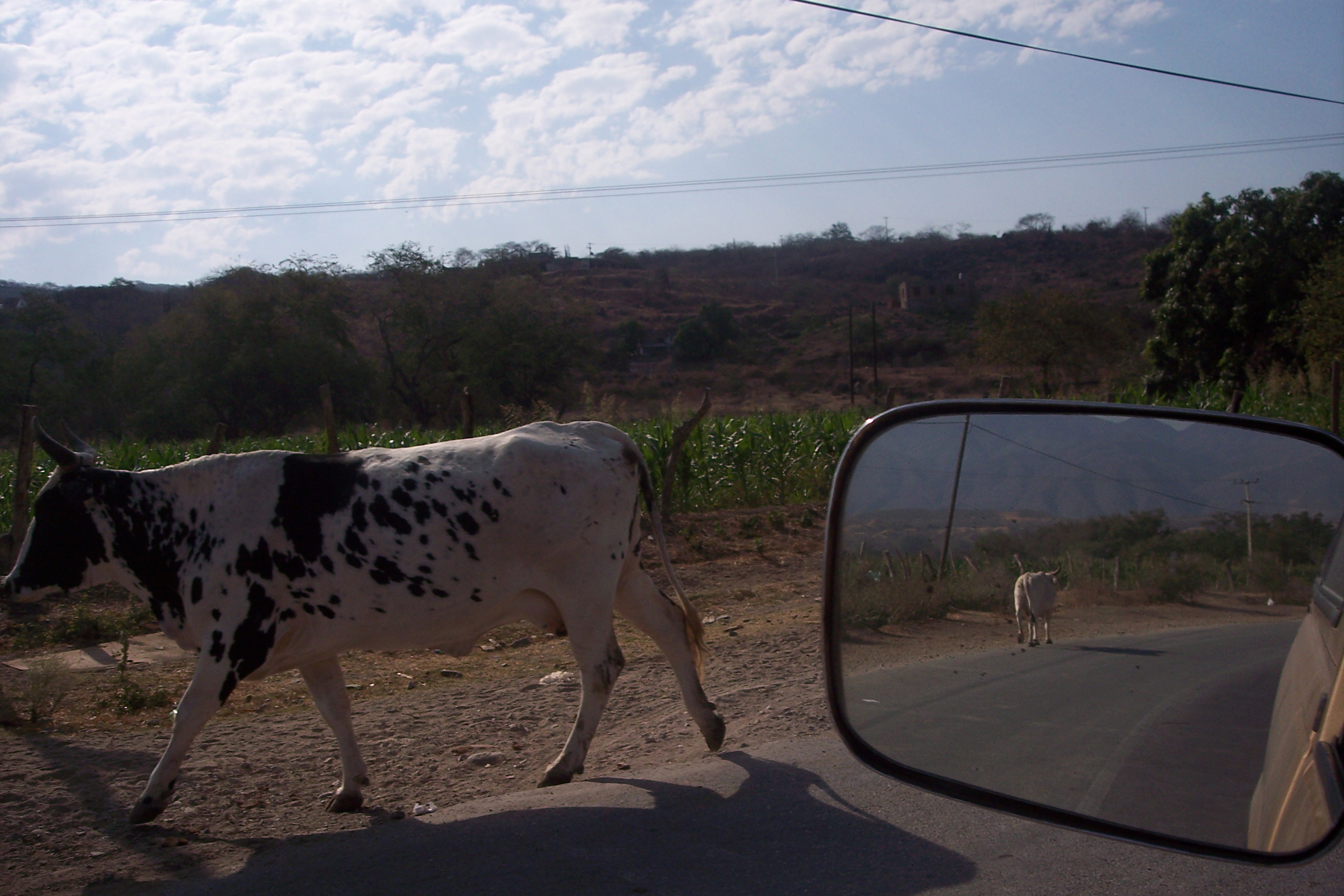
Vaca vaca!
Topographic Map of Tepuzhuacán, Nay., Mexico
Find elevation by address:

Places in Tepuzhuacán, Nay., Mexico:
Places near Tepuzhuacán, Nay., Mexico:
Nezahualcóyotl 10, Tepuzhuacán, Nay., Mexico
Amatlán De Cañas
Ixtlán Del Río
Guadalajara - Tepic, Los Toriles, Jal., Mexico
San Sebastián Del Oeste
San Sebastián
Venustiano Carranza 38, El Saucillo, Jal., Mexico
El Saucillo
Mascota
Mascota
Tamaulipas
Tamaulipas
Tamaulipas
Las Palmas De Arriba
Talpa De Allende
Calle 15 de Mayo, Las Palmas de Arriba, Jal., Mexico
Calle Azucena
Las Flores
Ixtapa
Fco. I. Madero 471
Recent Searches:
- Elevation of Corso Fratelli Cairoli, 35, Macerata MC, Italy
- Elevation of Tallevast Rd, Sarasota, FL, USA
- Elevation of 4th St E, Sonoma, CA, USA
- Elevation of Black Hollow Rd, Pennsdale, PA, USA
- Elevation of Oakland Ave, Williamsport, PA, USA
- Elevation of Pedrógão Grande, Portugal
- Elevation of Klee Dr, Martinsburg, WV, USA
- Elevation of Via Roma, Pieranica CR, Italy
- Elevation of Tavkvetili Mountain, Georgia
- Elevation of Hartfords Bluff Cir, Mt Pleasant, SC, USA