Elevation of Temple, TX, USA
Location: United States > Texas > Bell County >
Longitude: -97.342782
Latitude: 31.0982344
Elevation: 220m / 722feet
Barometric Pressure: 99KPa
Elevation Map:
Satellite Map:
Related Photos:
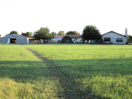
Southern View from Creek
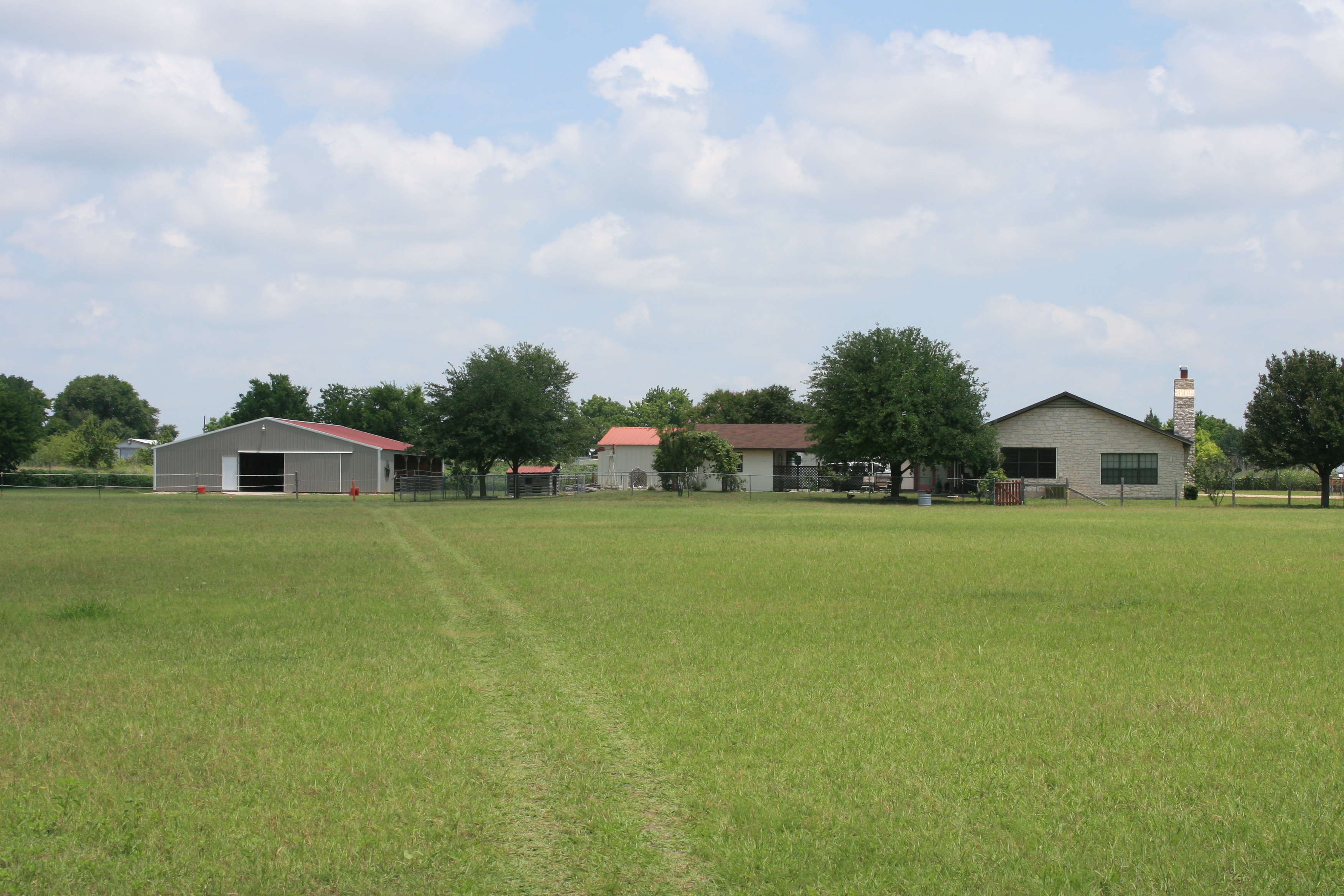
Southern Creek View

WINDOW VIEW
Topographic Map of Temple, TX, USA
Find elevation by address:

Places in Temple, TX, USA:
Warren Lawson Loop, Temple, TX, USA
Stone Road
Zabcikville
Southern Crossing Drive
Hartrick Bluff Road
Places near Temple, TX, USA:
2 N Main St #201
205 E Central Ave
412 S 31st St
2401 S 31st St
1921 S 33rd St
Baylor Scott & White Medical Center - Temple
2401 S 31st St
706 Landfill Rd
3606 S 5th St
3808 Whispering Oaks
Southern Crossing Drive
5125 Quartz Ct
Hartrick Bluff Road
6318 Drexel Loop
6323 Drexel Loop
6322 Drexel Loop
W Main St, Ltl Rvr Acad, TX, USA
Little River-academy
Reeds Lake Loop
1198 Stone Rd
Recent Searches:
- Elevation of Corso Fratelli Cairoli, 35, Macerata MC, Italy
- Elevation of Tallevast Rd, Sarasota, FL, USA
- Elevation of 4th St E, Sonoma, CA, USA
- Elevation of Black Hollow Rd, Pennsdale, PA, USA
- Elevation of Oakland Ave, Williamsport, PA, USA
- Elevation of Pedrógão Grande, Portugal
- Elevation of Klee Dr, Martinsburg, WV, USA
- Elevation of Via Roma, Pieranica CR, Italy
- Elevation of Tavkvetili Mountain, Georgia
- Elevation of Hartfords Bluff Cir, Mt Pleasant, SC, USA