Elevation of TCI Road, TCI Rd, Tagaytay, Cavite, Philippines
Location: Philippines > Calabarzon > Cavite > Tagaytay >
Longitude: 120.950457
Latitude: 14.1285055
Elevation: 569m / 1867feet
Barometric Pressure: 95KPa
Elevation Map:
Satellite Map:
Related Photos:

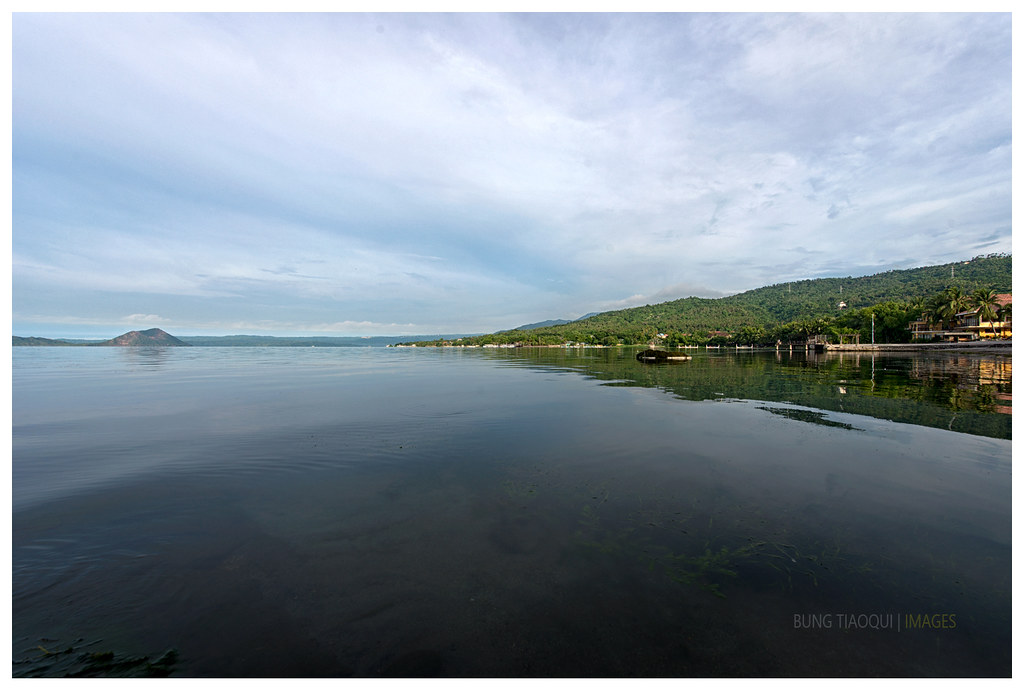
Taal blues

Mount Banahao, Phillipines

Taal Volcano

Got beef?
Trip to Tagaytay

View over Batangas - Philippines
A Portal of Light

The Other Side of Taal

Cráter de subsidencia (Pit Crater) - Volcano Island (Luzon, Filipinas) - 01

Haze Clarified. Lake Taal from the People's Park in the Sky, Tagaytay, Calabarzon, Philippines

The morning walk home
Taal Volcano bay

Philippines. Luzon, Batangas, Taal lake volcano

Tagaytay, Batangas - Iphone6 Landscape photo at Taal Lake

Lake Taal #2
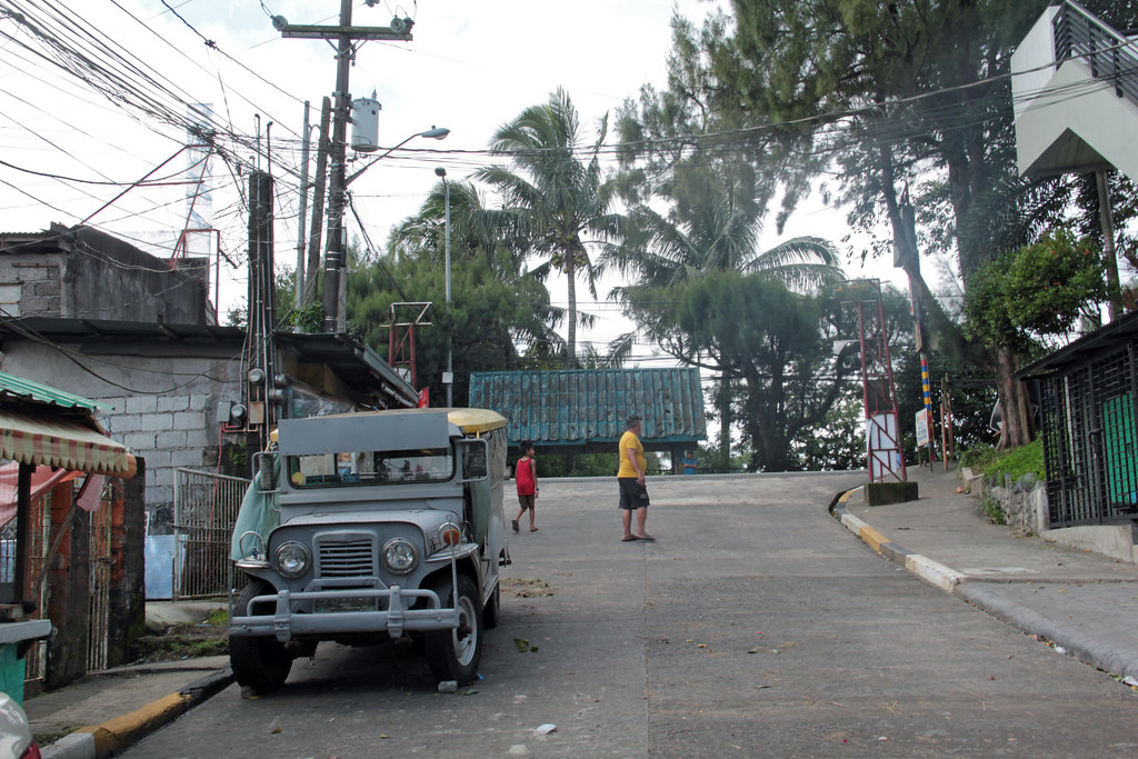
Street in Tagaytay

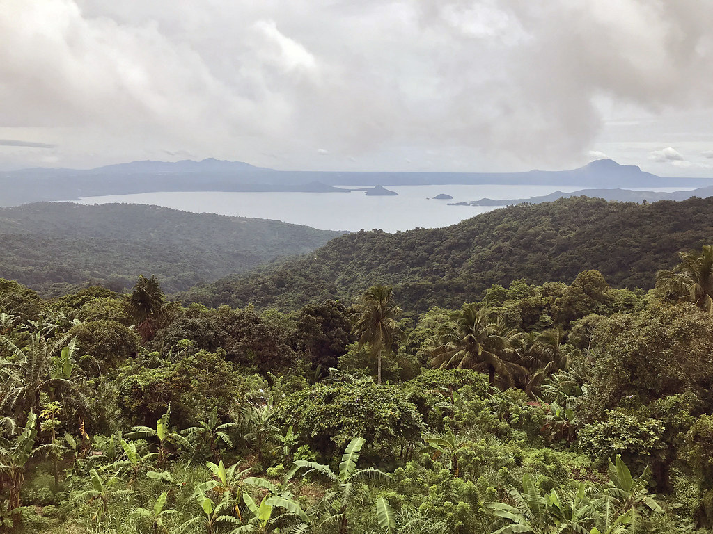
Taal Lake
Taal Lake

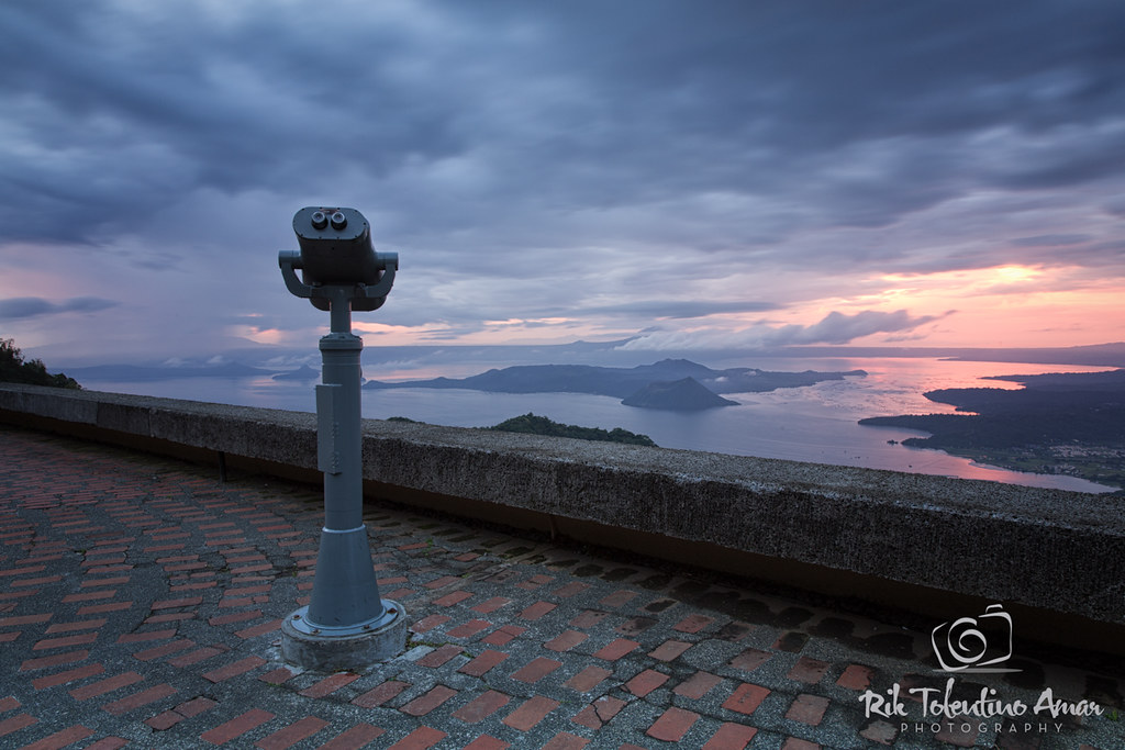
Sunset - Tagaytay (Philippines)

903.

Taal Volcano Island
Topographic Map of TCI Road, TCI Rd, Tagaytay, Cavite, Philippines
Find elevation by address:

Places near TCI Road, TCI Rd, Tagaytay, Cavite, Philippines:
348 Tibayan St
Metrogate Tagaytay Manors
Winds Tagaytay Residences
Tagaytay Haven Hotel - Mendez
Hotel Georgina
Maitim 2nd West
Emilio Aguinaldo Highway
Emilio Aguinaldo Highway
Emilio Aguinaldo Highway
Camella Silang Official
Maitim 1st Barangay Hall
Maitim 2nd East
Hiraya Tagaytay Ecofarm And Resort
Tagaytay Country Homes 1
Alta Monte Subdivision
Seminarium Verbum Divinae Road
Seminarium Verbum Divinae Road
Maitim Elementary School
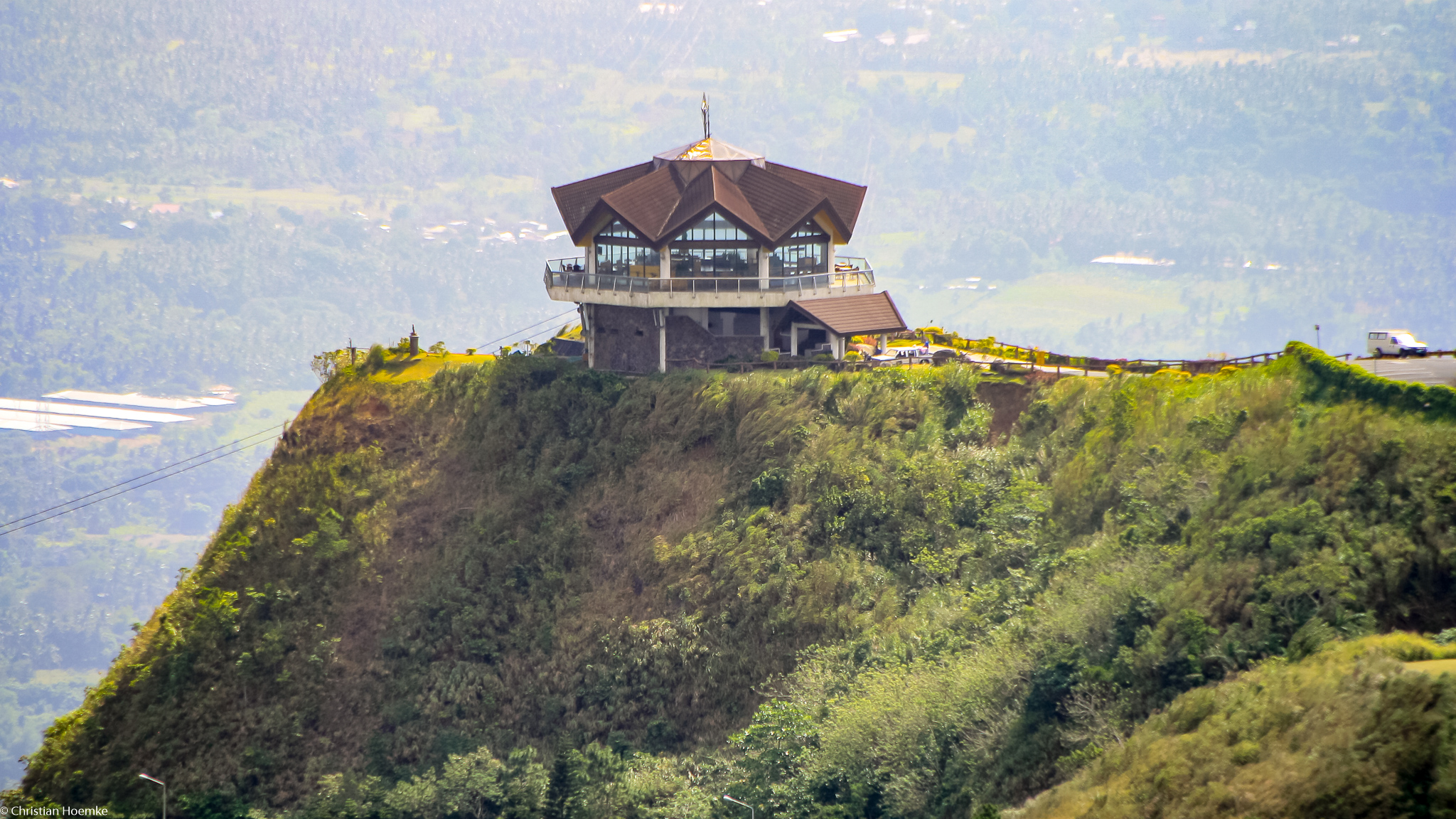
Palace In The Sky Mpc
Amadeo Cable Tagaytay
Recent Searches:
- Elevation of Corso Fratelli Cairoli, 35, Macerata MC, Italy
- Elevation of Tallevast Rd, Sarasota, FL, USA
- Elevation of 4th St E, Sonoma, CA, USA
- Elevation of Black Hollow Rd, Pennsdale, PA, USA
- Elevation of Oakland Ave, Williamsport, PA, USA
- Elevation of Pedrógão Grande, Portugal
- Elevation of Klee Dr, Martinsburg, WV, USA
- Elevation of Via Roma, Pieranica CR, Italy
- Elevation of Tavkvetili Mountain, Georgia
- Elevation of Hartfords Bluff Cir, Mt Pleasant, SC, USA