Elevation map of Tazrouk, Algeria
Location: Algeria > Tamanrasset Province >
Longitude: 6.7493993
Latitude: 23.6166778
Elevation: 1465m / 4806feet
Barometric Pressure: 85KPa
Elevation Map:
Satellite Map:
Related Photos:

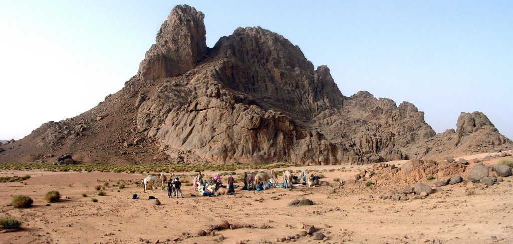
DSC06437-06439-3P

DSC06007-06009-3P

DSC06373-06375-3P

DSC05697-05698-2P

DSC06448-06451-4P

DSC05744-05745-2P

DSC05805-05809-5P

DSC05815-05817-3P
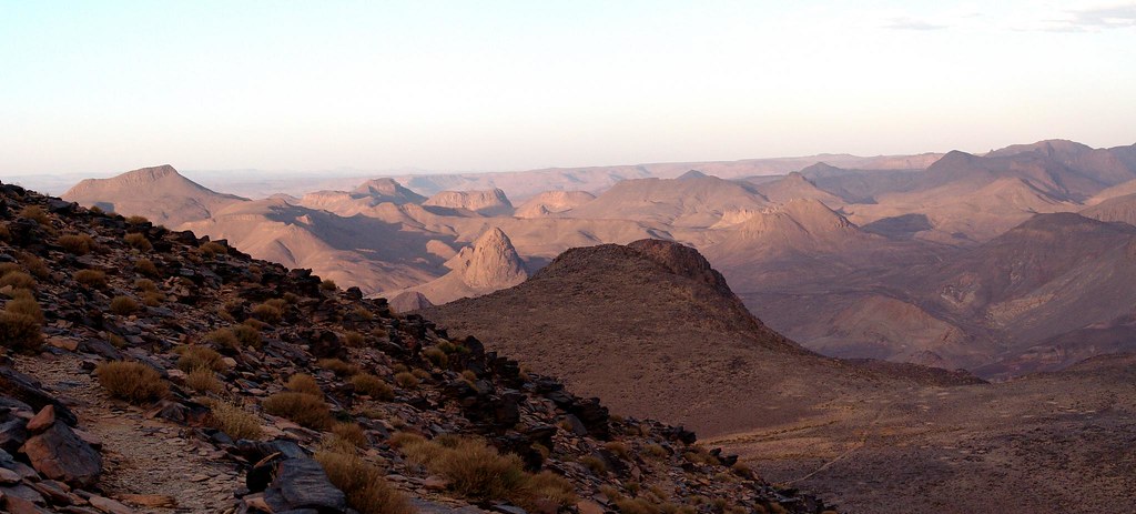
DSC06467-06470-2P

DSC05829-05832-4P

DSC05842-05845-4P

DSC06586-06587-2P
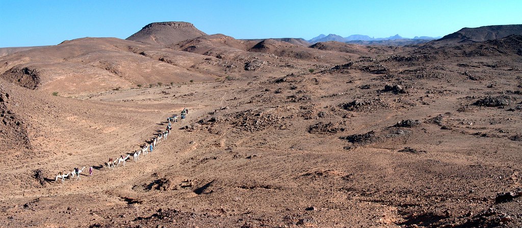
DSC05704-05705-2P
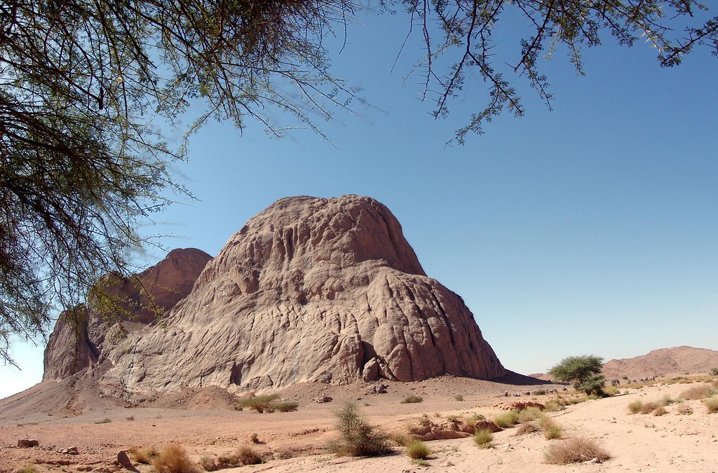
DSC05768-05771-4P

DSC06784-06787-4P

DSC05750-05751-2P
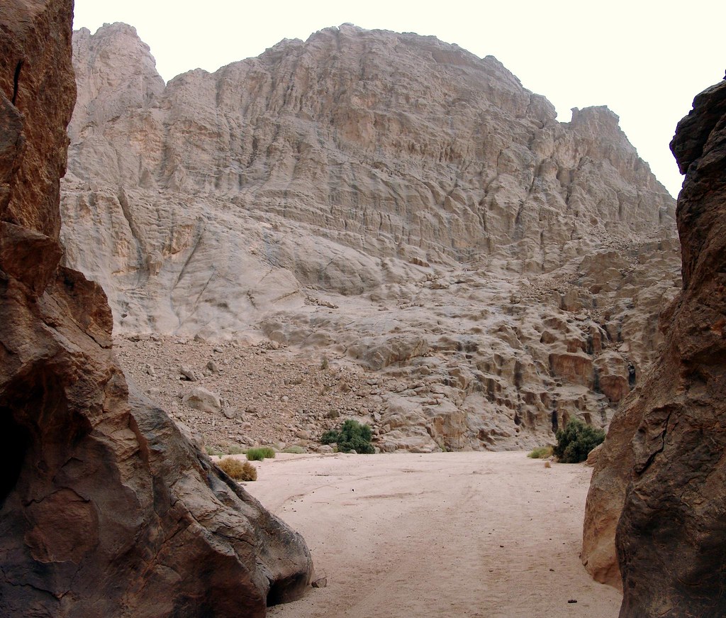
DSC05833-05834-2P

DSC06438-06439-2P
DSC05879-05880-2P

DSC06459-06465-3P

DSC06379-06380-2P
Topographic Map of Tazrouk, Algeria
Find elevation by address:

Places in Tazrouk, Algeria:
Places near Tazrouk, Algeria:
Recent Searches:
- Elevation of Corso Fratelli Cairoli, 35, Macerata MC, Italy
- Elevation of Tallevast Rd, Sarasota, FL, USA
- Elevation of 4th St E, Sonoma, CA, USA
- Elevation of Black Hollow Rd, Pennsdale, PA, USA
- Elevation of Oakland Ave, Williamsport, PA, USA
- Elevation of Pedrógão Grande, Portugal
- Elevation of Klee Dr, Martinsburg, WV, USA
- Elevation of Via Roma, Pieranica CR, Italy
- Elevation of Tavkvetili Mountain, Georgia
- Elevation of Hartfords Bluff Cir, Mt Pleasant, SC, USA