Elevation of Taylorsville, GA, USA
Location: United States > Georgia > Bartow County >
Longitude: -84.987444
Latitude: 34.0862094
Elevation: 223m / 732feet
Barometric Pressure: 99KPa
Elevation Map:
Satellite Map:
Related Photos:
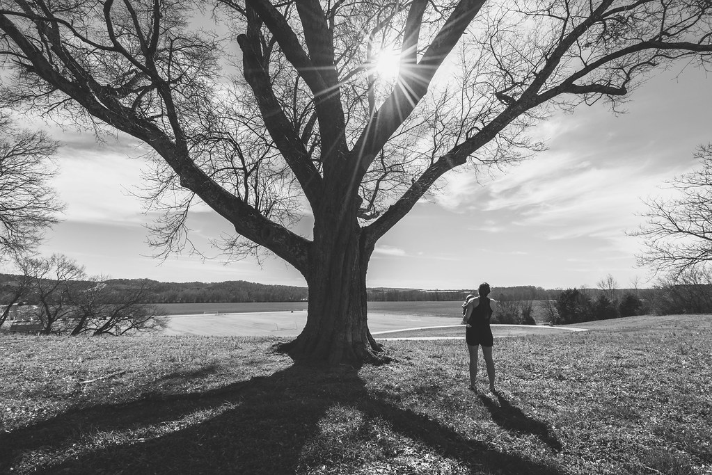
Looking Ahead

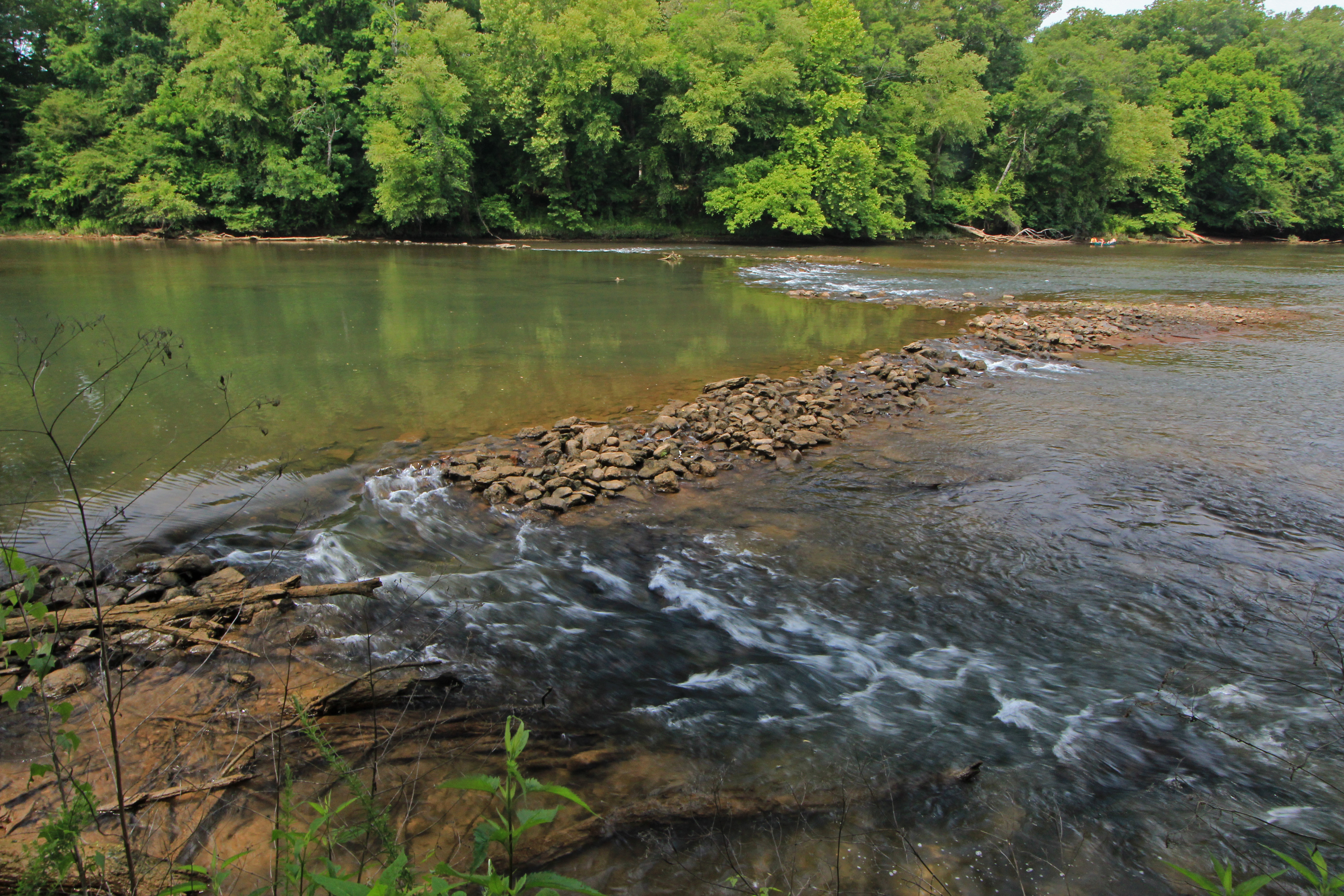
Etowah River, prehistoric fish weir No. 5, below Douthit Ferry Road, Bartow County, Georgia 3
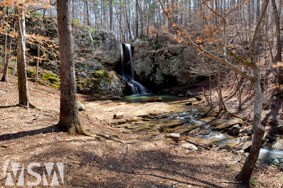
High Shoals Falls
Etowah River, prehistoric fish weir No. 5, below Douthit Ferry Road, Bartow County, Georgia 1
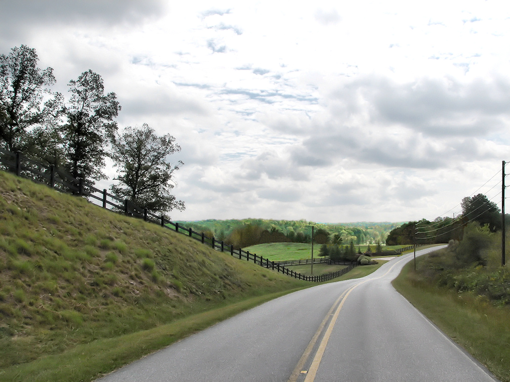
The Road Home

Cloud view from Rockmart toward Cartersville.

Last Call Before Lights Out
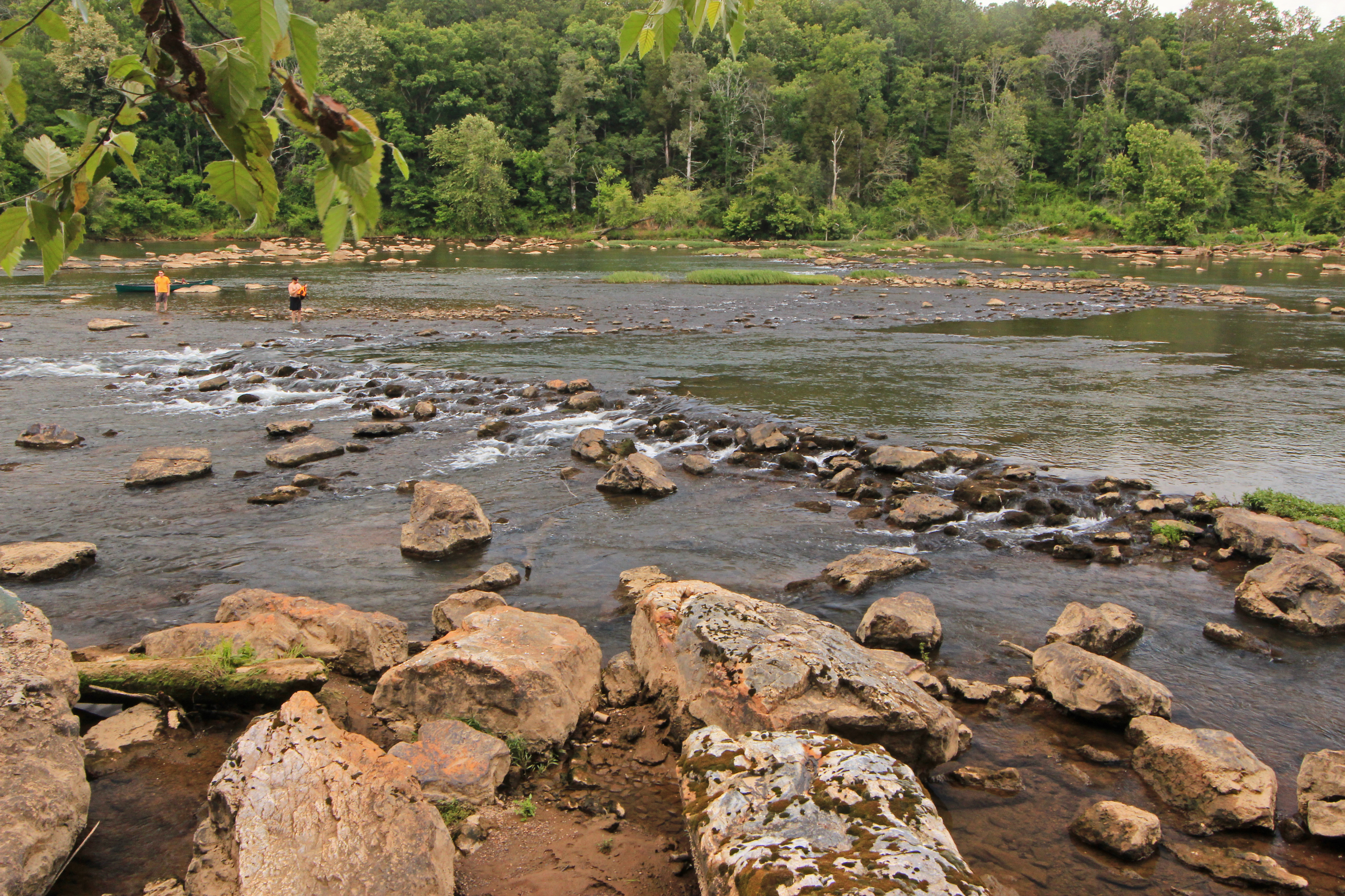
Etowah River, prehistoric fish weir No. 7, below Douthit Ferry Road, Bartow County, Georgia 2
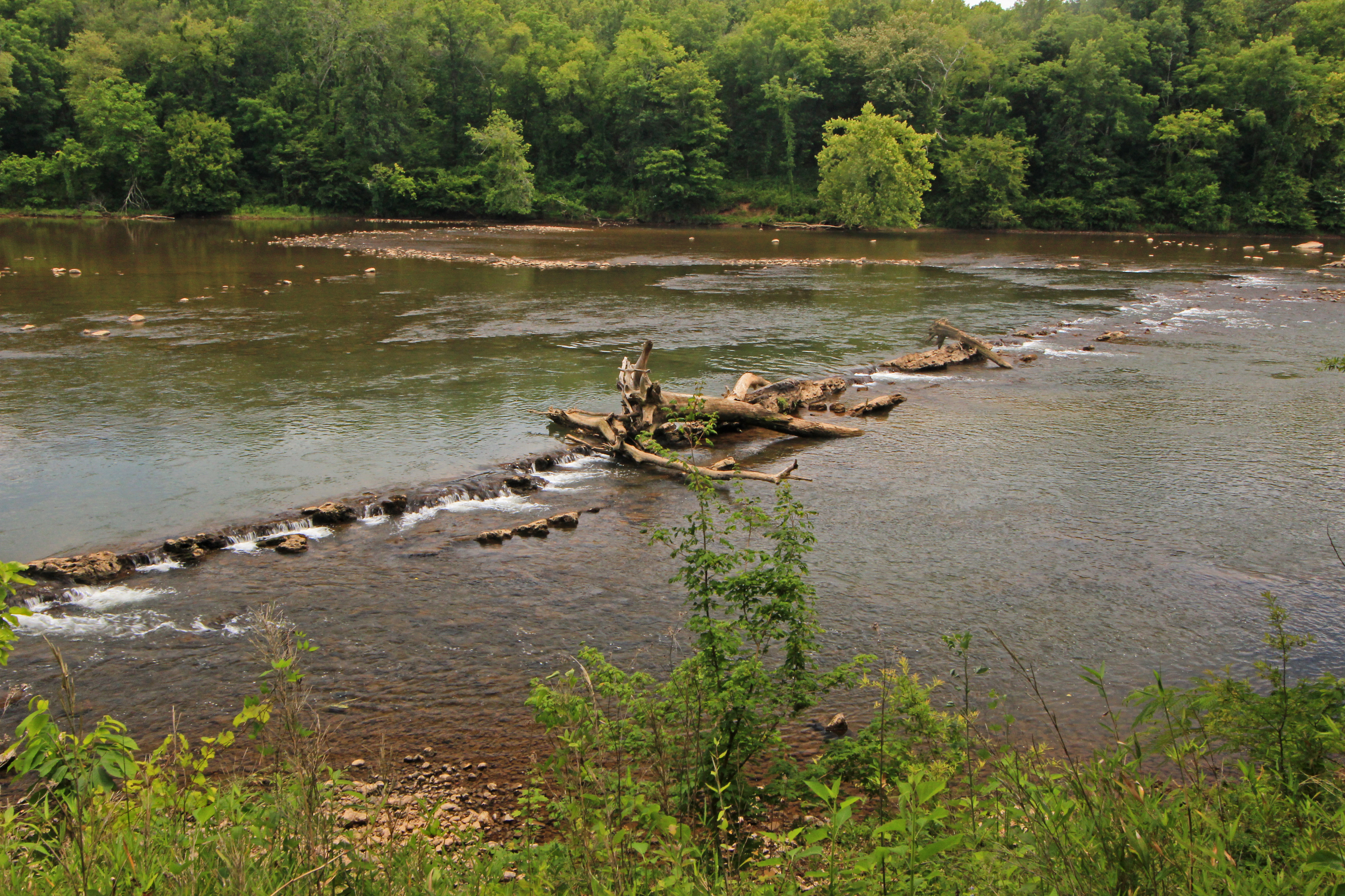
Etowah River, prehistoric fish weir No. 5, below Douthit Ferry Road, Bartow County, Georgia 2
DSC_0269 Nature Reclaims Industry
Broken, Forgotten
Chartie W. Ramsey 1877-1912 Wife of W.D. McGowan
Grasshopper Sparrow. Brandon Farm Rd, Bartow County, 20 October 2015. Photo by Ken Blankenship
Merlin. Taff Rd, Bartow County, 20 October 2015. Photo by JoAnn M. King
Merlin. Taff Rd, Bartow County, 20 October 2015. Photo by JoAnn M. King

Cartersville - Etowah River - Early Evening Light
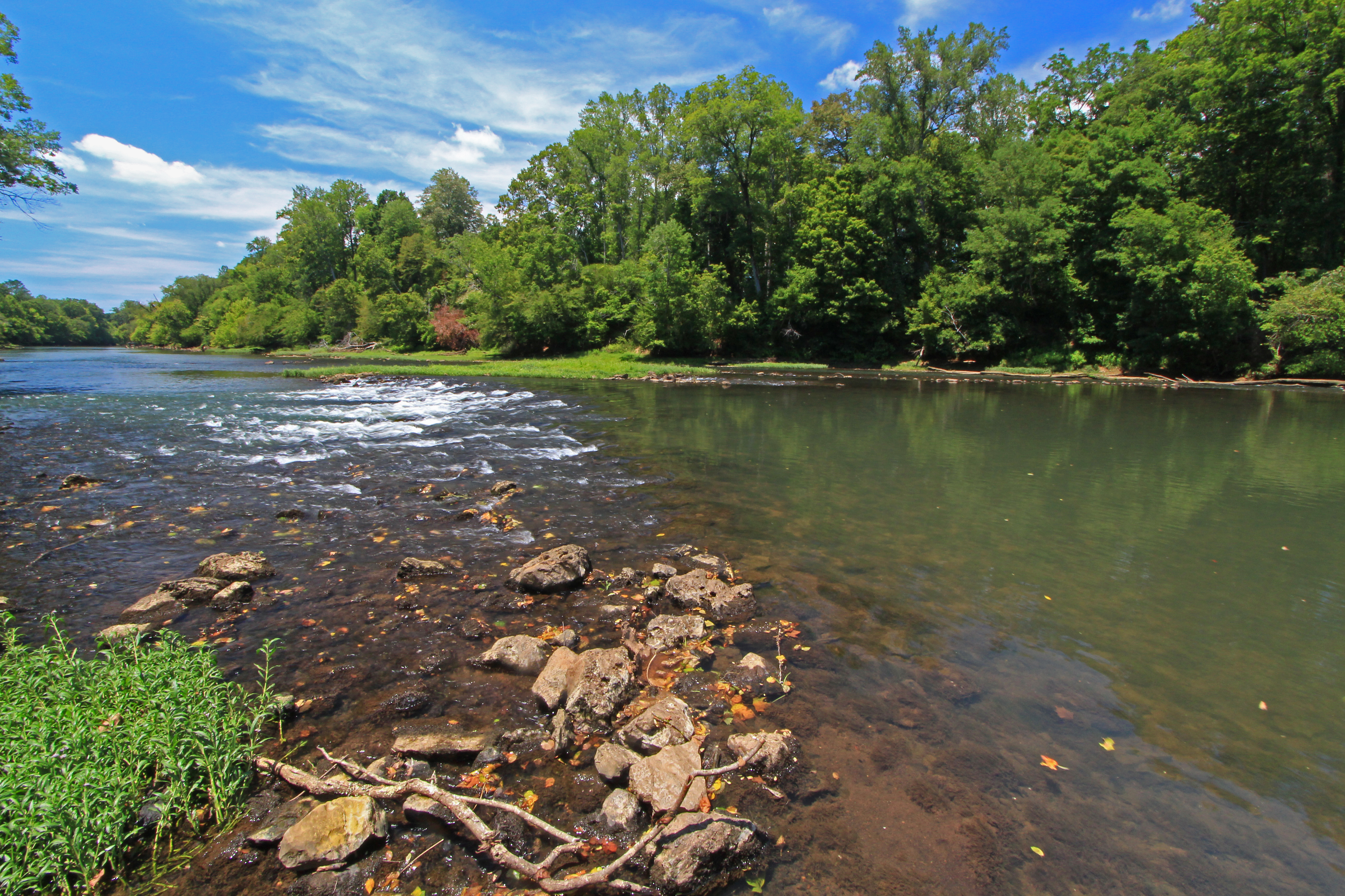
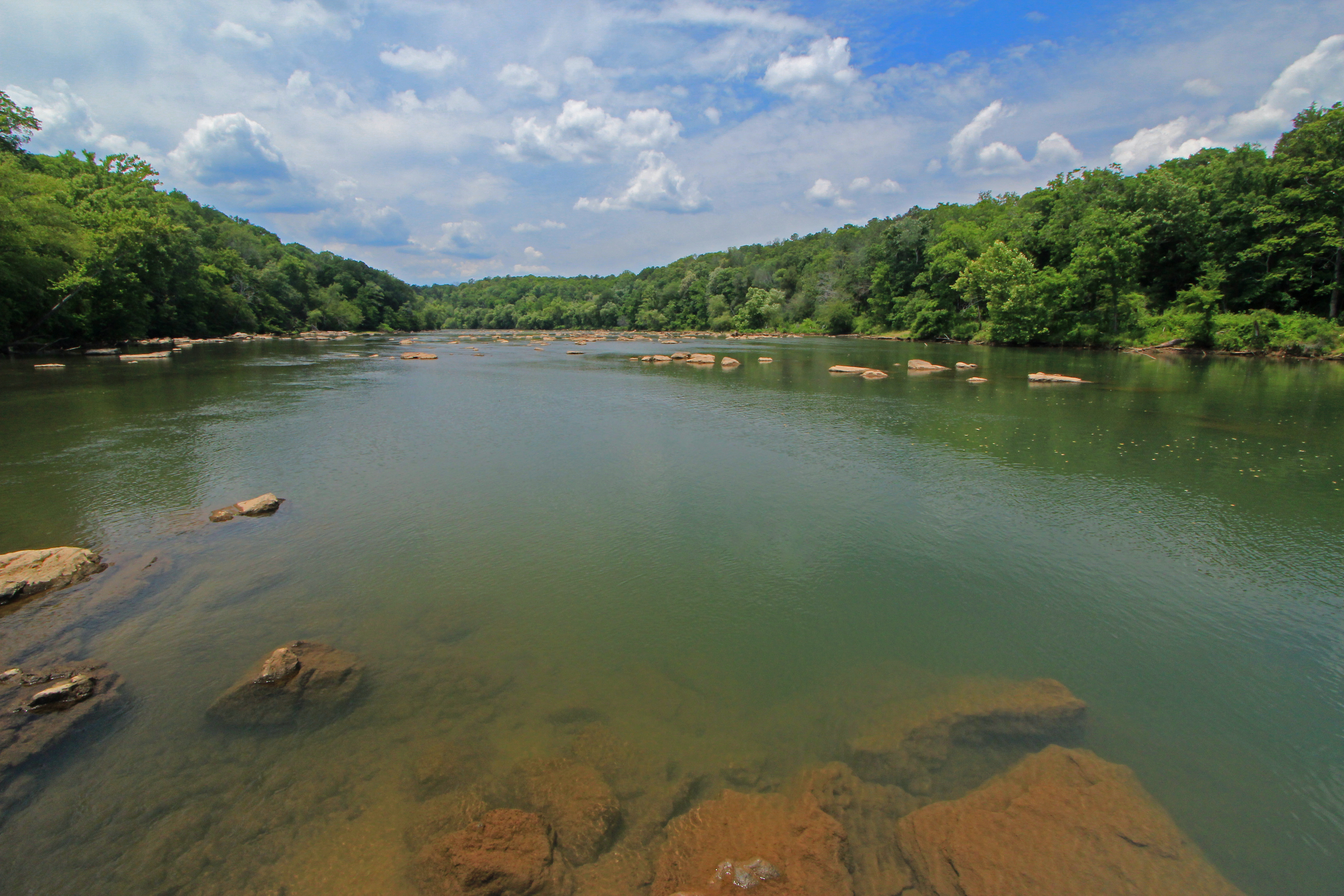
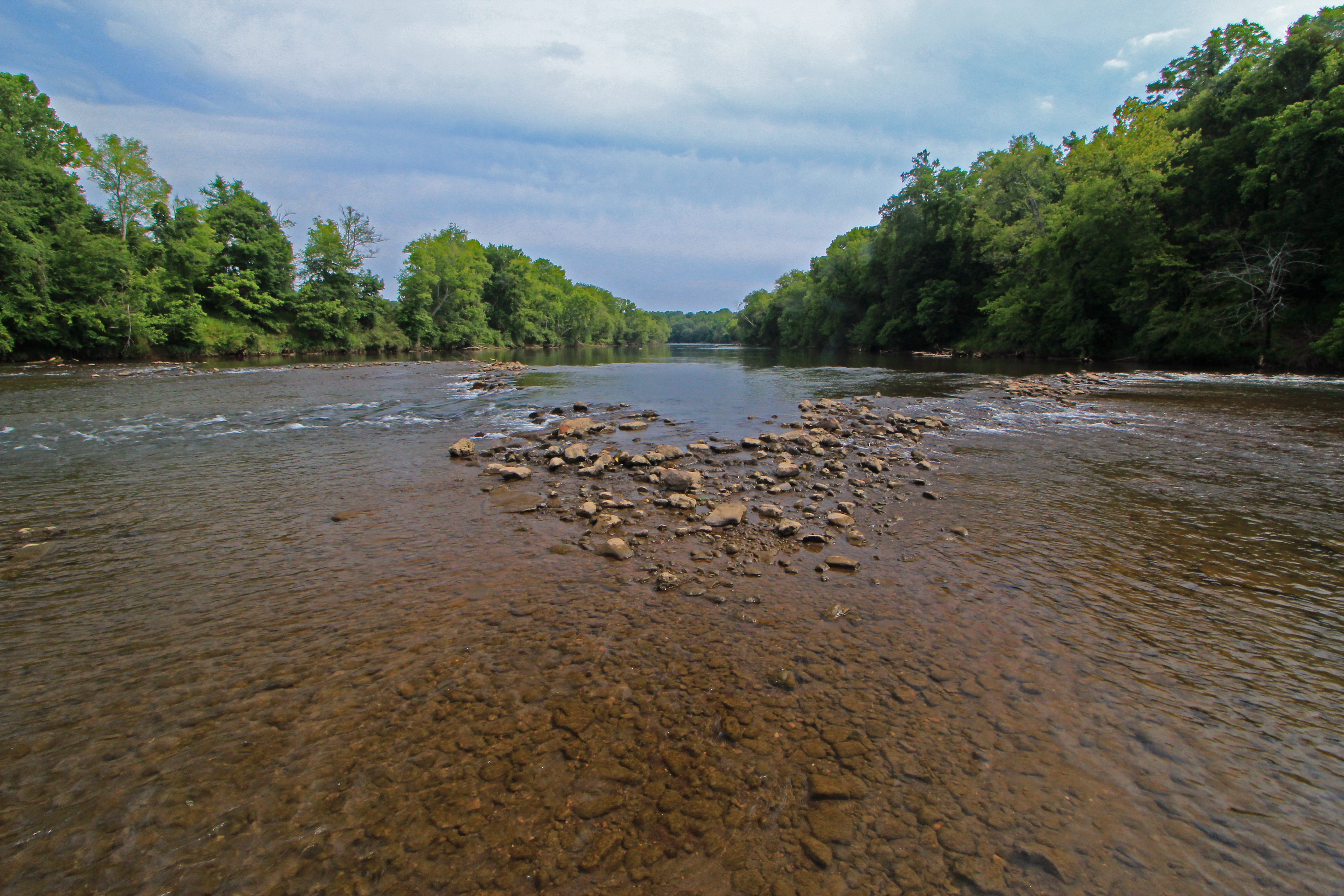
Etowah River, Bartow County, Georgia 1
High Shoals Falls Panoramic
High Shoals Falls

A Ride to the Country Side
foggy morning in GA
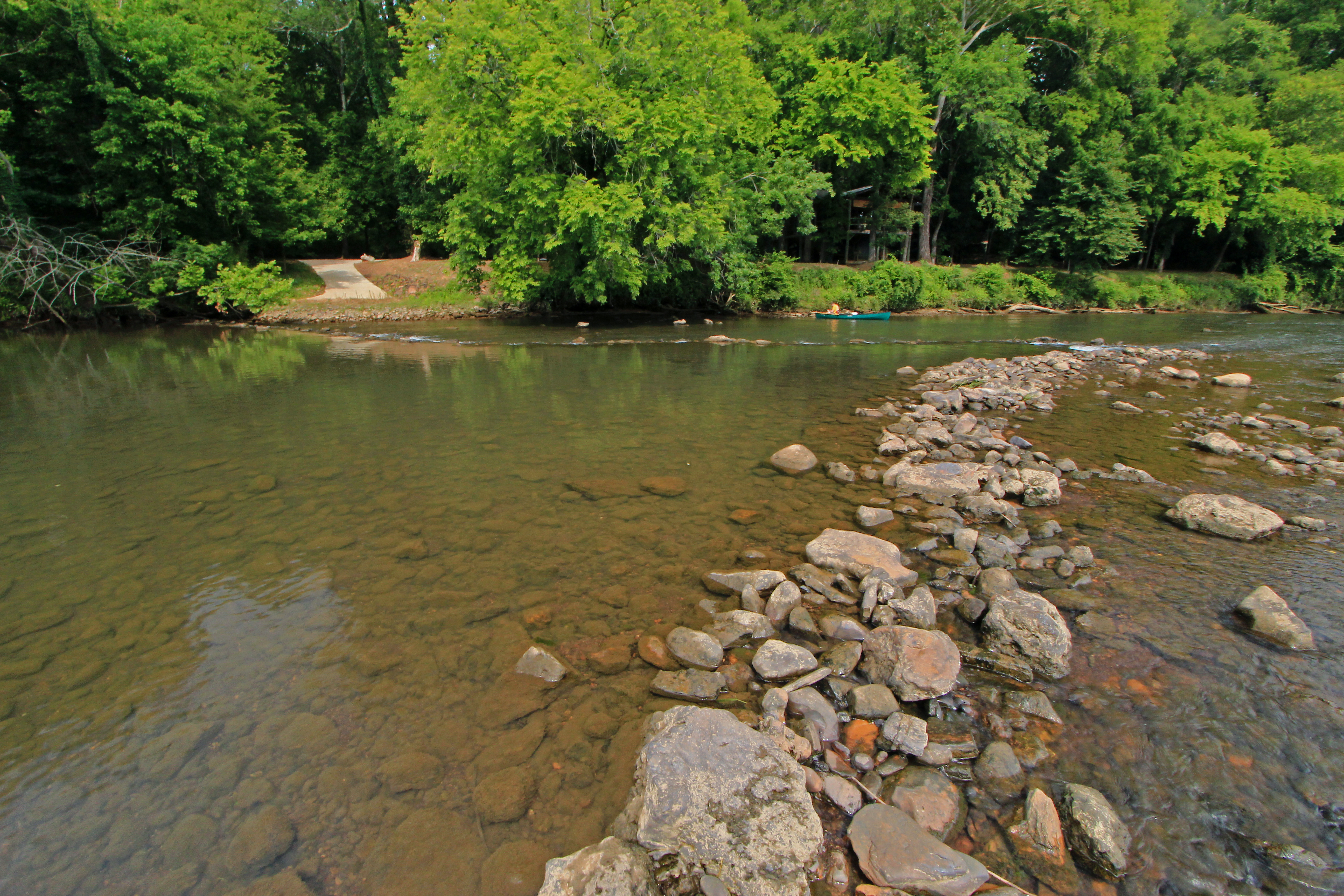
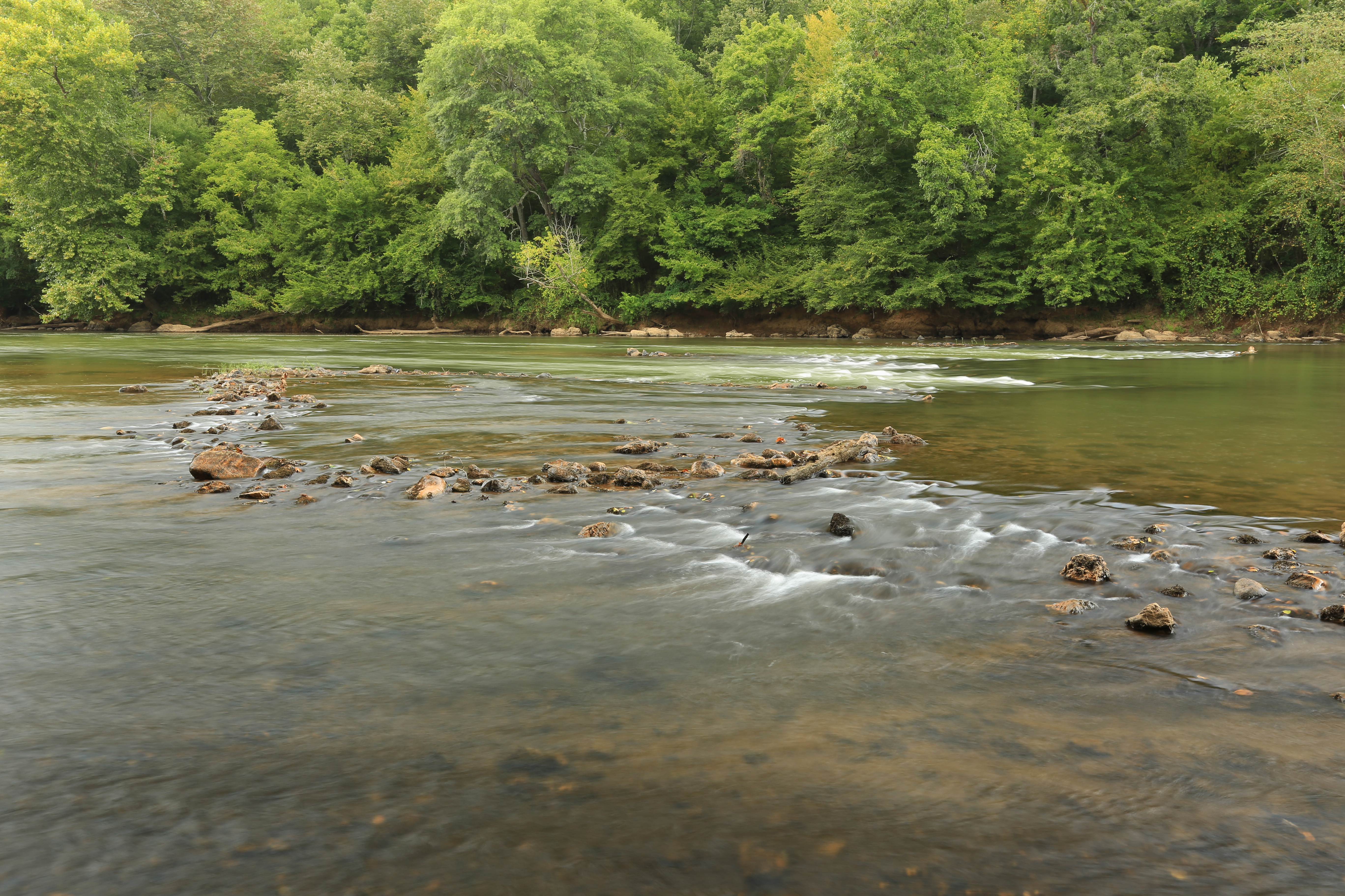
Etowah River, below Euharlee Road, Bartow County, Georgia 2
Etowah River, prehistoric fish weir No. 2, below Euharlee Road, Bartow County, Georgia 2

Etowah River, prehistoric fish weir No. 1, below Euharlee Road, Bartow County, Georgia 3
Etowah River, prehistoric fish weir No. 1, below Euharlee Road, Bartow County, Georgia 2
K&K Wedding-78
Etowah River, prehistoric fish weir No. 3, below Euharlee Road, Bartow County, Georgia, Paul Aughey and Brad Barker 1

Plant Bowen
Etowah River, prehistoric fish weir No. 6, below Euharlee Road, Bartow County, Georgia 2
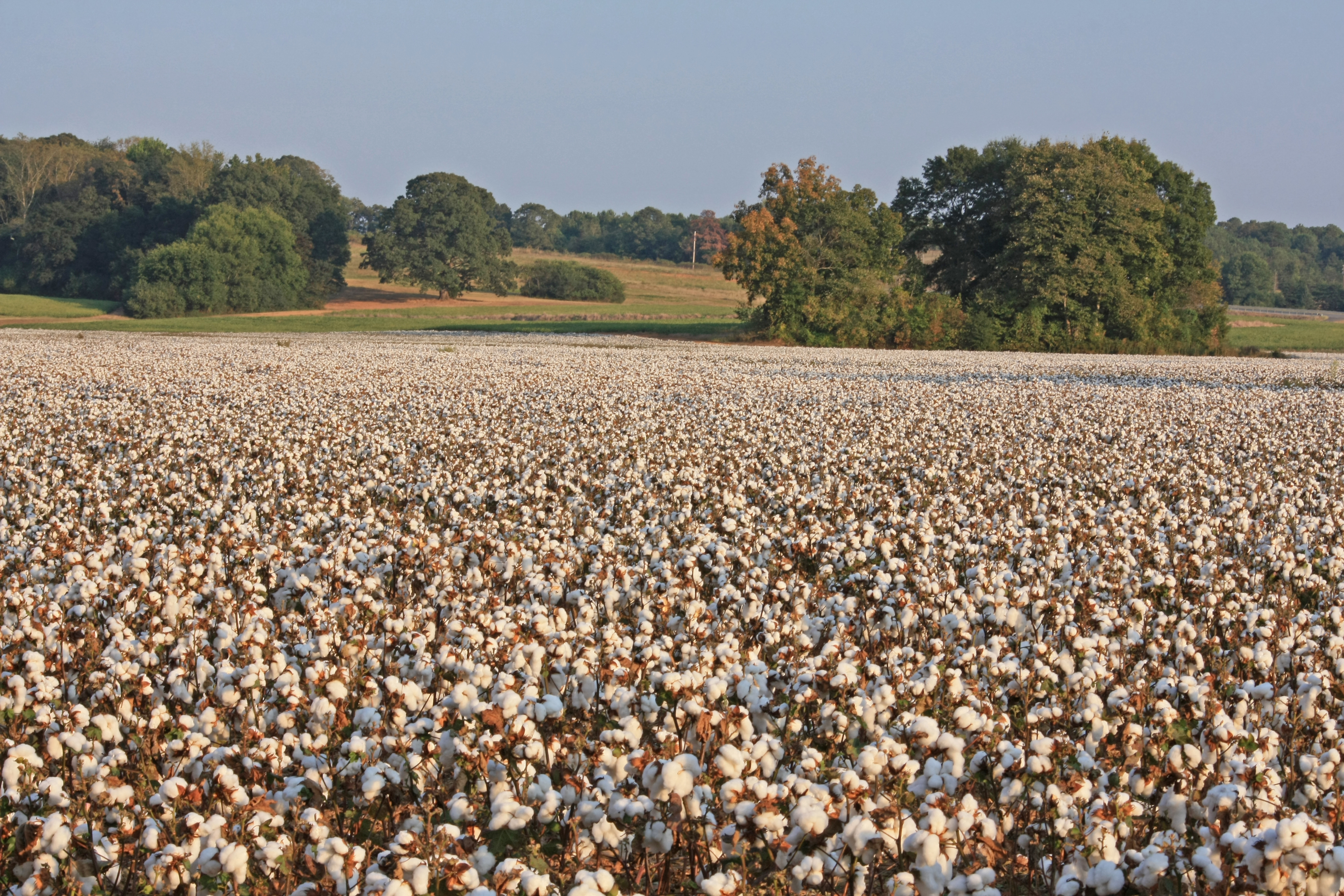
Gossypium hirsutum, cultivated crop, near Euharlee, Bartow County, Georgia 3
Etowah River, Prehistoric Fish Weir, Bartow County, Georgia 1
Etowah River, prehistoric fish weir No. 4, below Euharlee Road, Bartow County, Georgia 1
Topographic Map of Taylorsville, GA, USA
Find elevation by address:

Places in Taylorsville, GA, USA:
Places near Taylorsville, GA, USA:
243 Jaycees Rd
Portland Rd, Aragon, GA, USA
Aragon
1460 Prospect Rd
565 Lane St
448 Clearwater St
Rockmart
Braswell
126 W Elm St
Brushy Mountain Road
362 Pea Ridge Rd
Brushy Mountain Rd, Rockmart, GA, USA
Morgan Valley Road
3 Mountain Path
Corley Dr, Dallas, GA, USA
26 Lingerfelt Ln Sw
118 Browntown Rd
3210 Narroway Church Cir
10 Mt Moriah Rd, Dallas, GA, USA
Woodland Hills Golf Club
Recent Searches:
- Elevation of Corso Fratelli Cairoli, 35, Macerata MC, Italy
- Elevation of Tallevast Rd, Sarasota, FL, USA
- Elevation of 4th St E, Sonoma, CA, USA
- Elevation of Black Hollow Rd, Pennsdale, PA, USA
- Elevation of Oakland Ave, Williamsport, PA, USA
- Elevation of Pedrógão Grande, Portugal
- Elevation of Klee Dr, Martinsburg, WV, USA
- Elevation of Via Roma, Pieranica CR, Italy
- Elevation of Tavkvetili Mountain, Georgia
- Elevation of Hartfords Bluff Cir, Mt Pleasant, SC, USA