Elevation of Tathams Creek Rd, Sylva, NC, USA
Location: United States > North Carolina > Jackson County > Savannah >
Longitude: -83.267308
Latitude: 35.2928651
Elevation: 684m / 2244feet
Barometric Pressure: 93KPa
Elevation Map:
Satellite Map:
Related Photos:
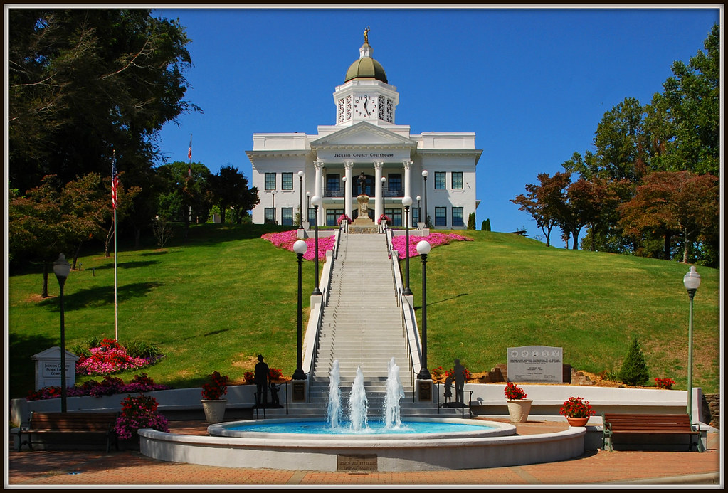
Jackson County Courthouse - Explore #170
The Most Photographed Courthouse In North Carolina
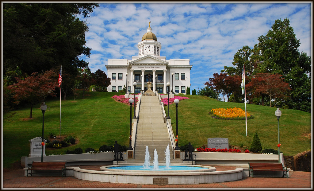
Courthouse View

View in the evening!

Chain View
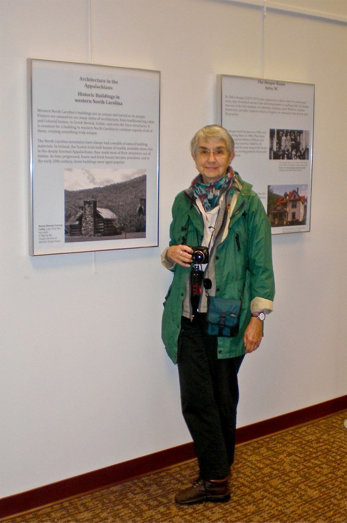
Me & My Photograph
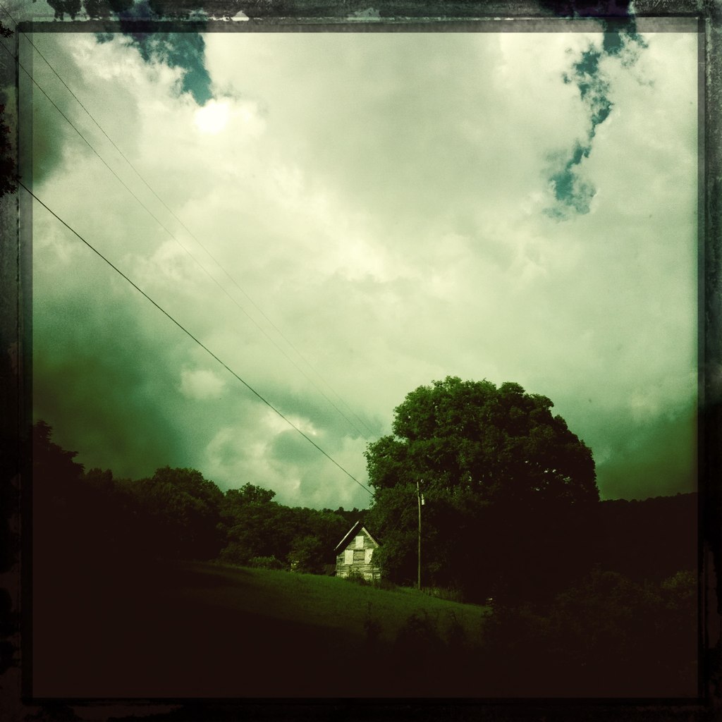
Inside a house.

male Maevia sp (F Salticidae)
Bench View

Cowee Bald Fire Tower - North Carolina

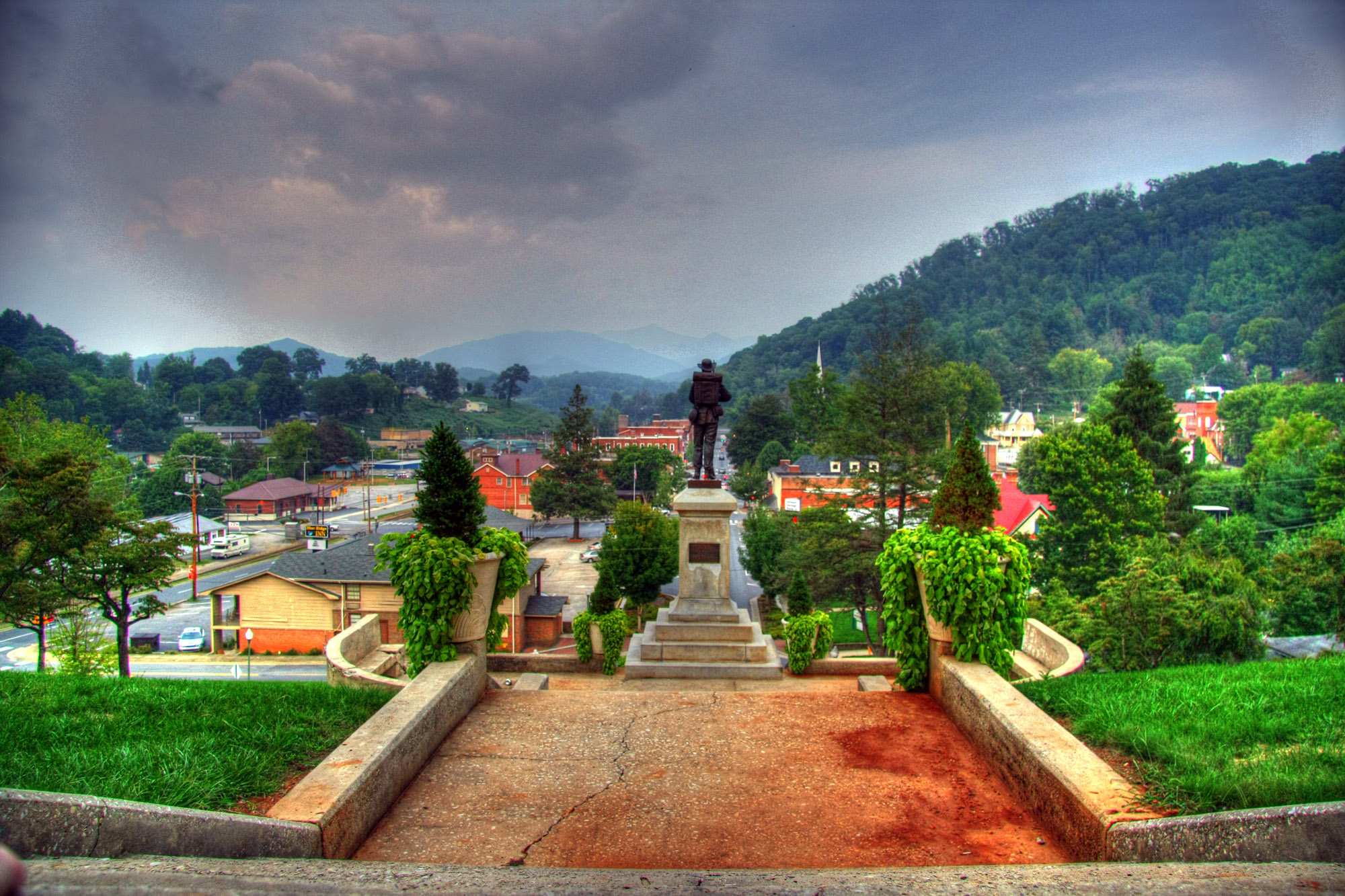
Sylva, NC Main St.
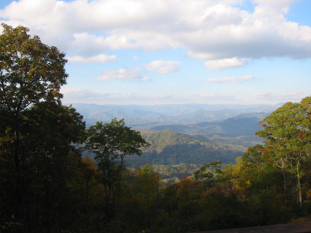
view from the road

Leafhopper, Graphocephala sp (F Cicadellidae)
Side View Of Macon County Courthouse
Cowee Valley by Susan

Yearbook photo of David Sedaris, Western Carolina University, 1976
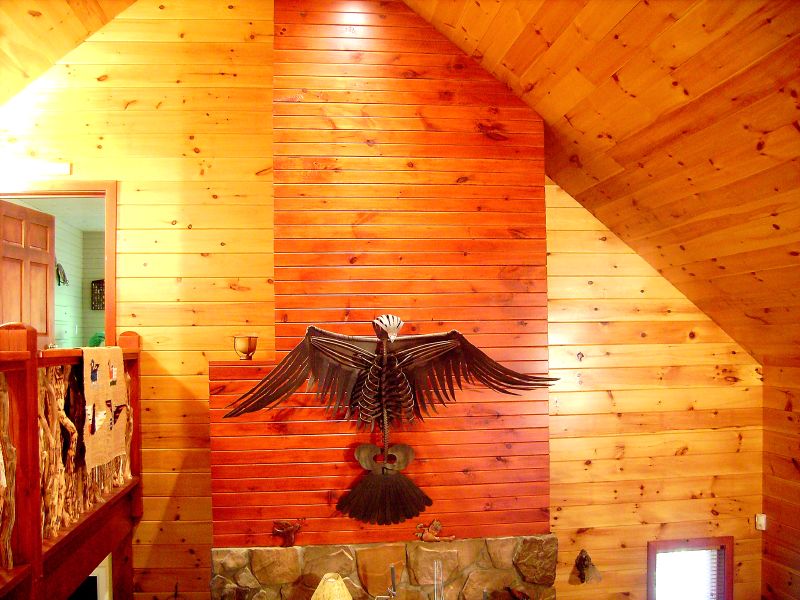
View from Al & Bill's cabin – Sylva, NC
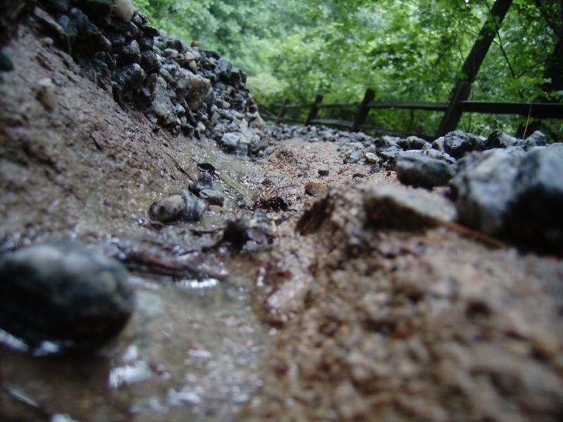
Trail cut by rainwater
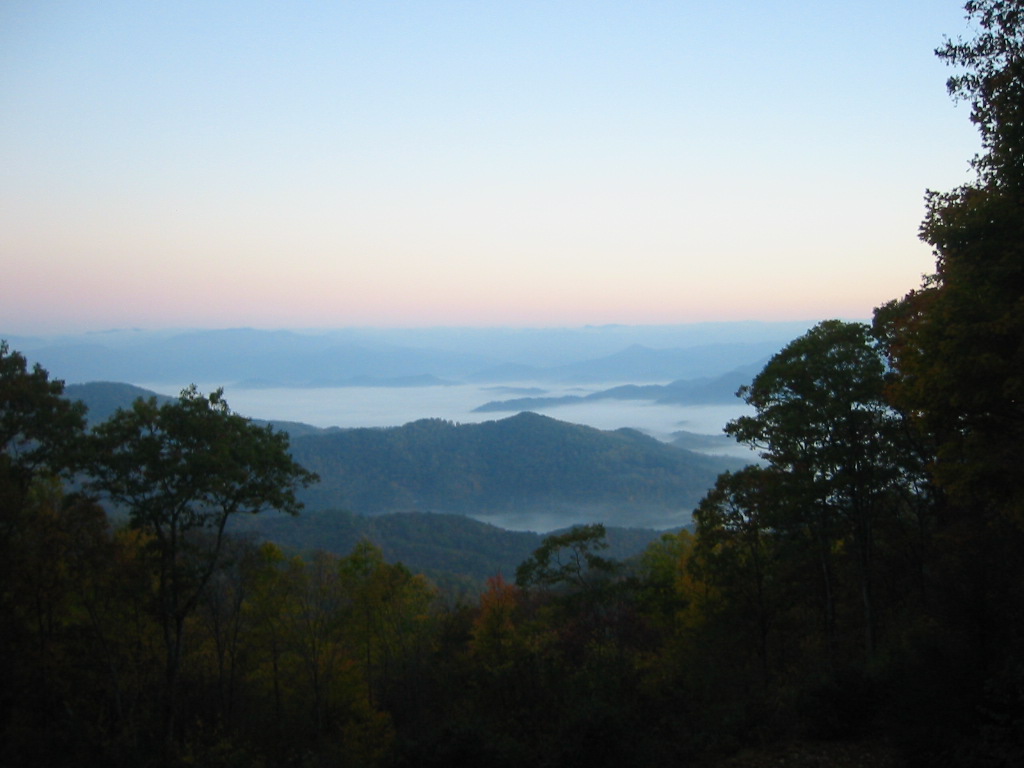
View from our cabin outside Sylva, NC

Millennial Valley
Good morning, #brysoncity #northcarolina! View from the cabin balcony #nofilter #ttot
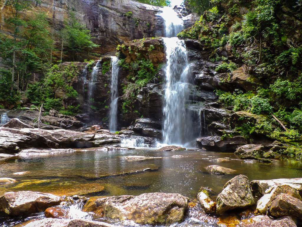
High Falls-6666
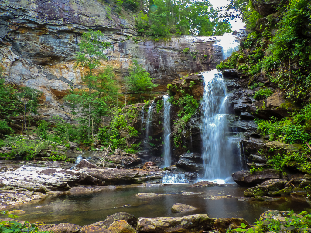
High Falls-6709
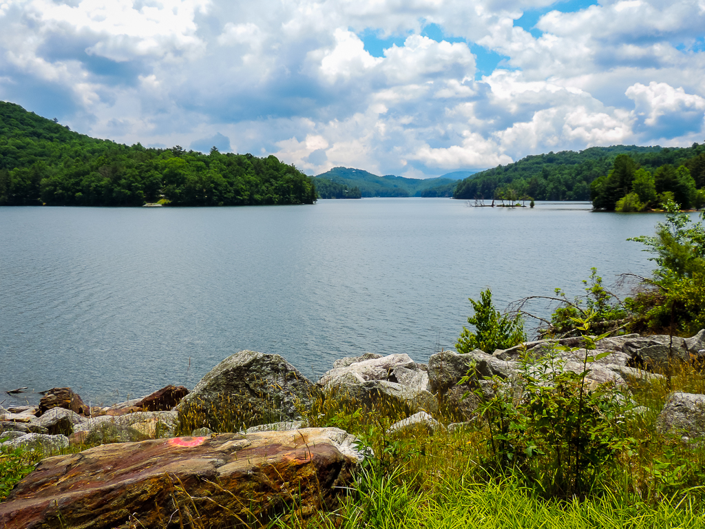
Lake Glenville

Lake Glenville

The Curve
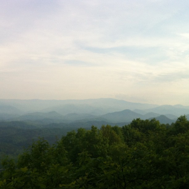
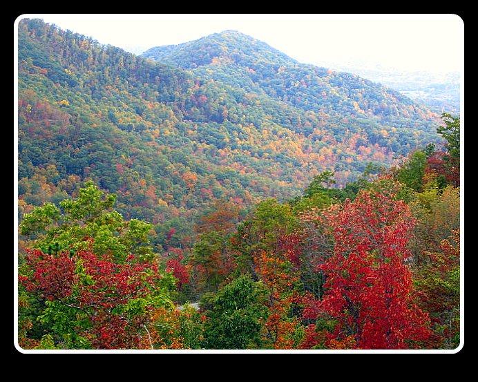
Smoky Mountains
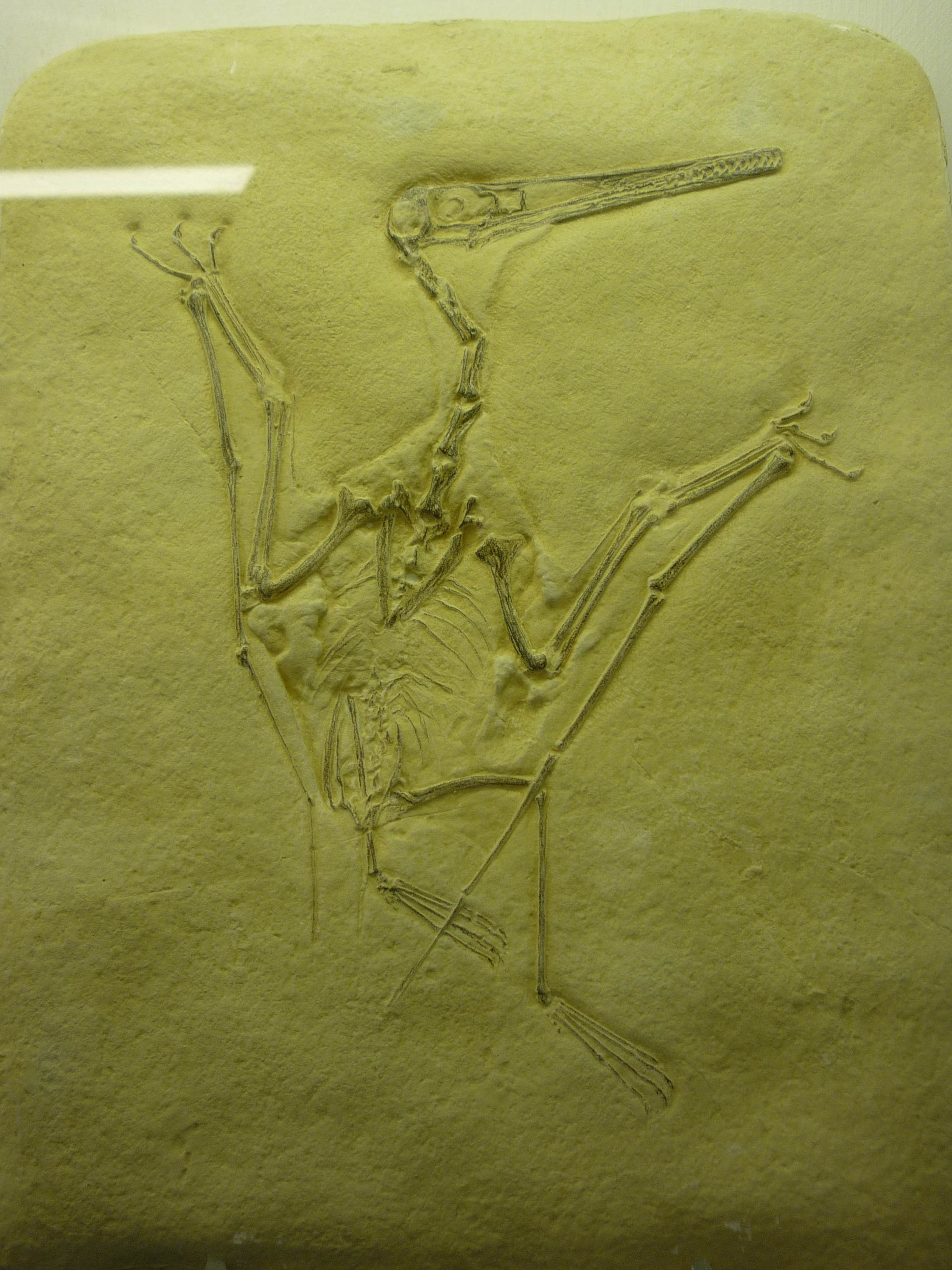
bird-like fossil

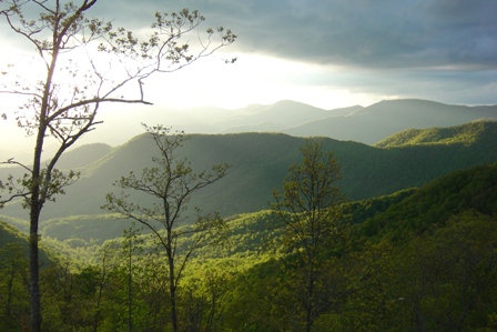
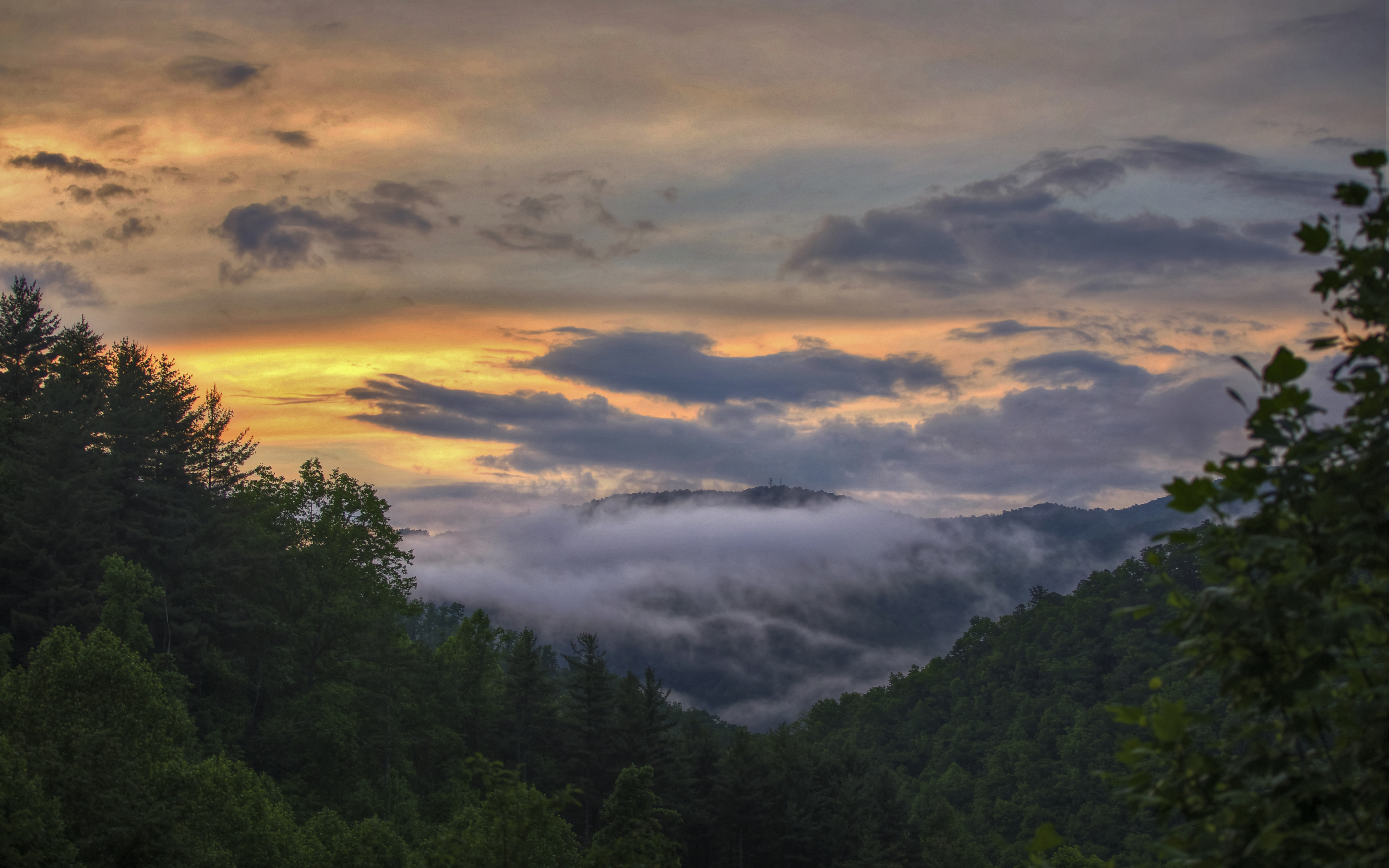
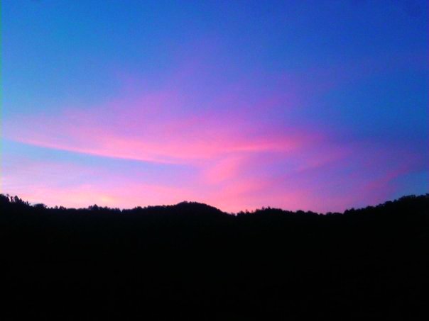
Appalachian Sunrise
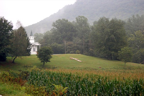
church.JPG

Jackson County Airport 24A in Cullowhee, NC
Fields of Gold | Franklin, NC
Wild Flower & Spec 046
Sunset from my deck

Another sunset from my deck

Cullowhee Dam, Tuckasegee River, Jackson County
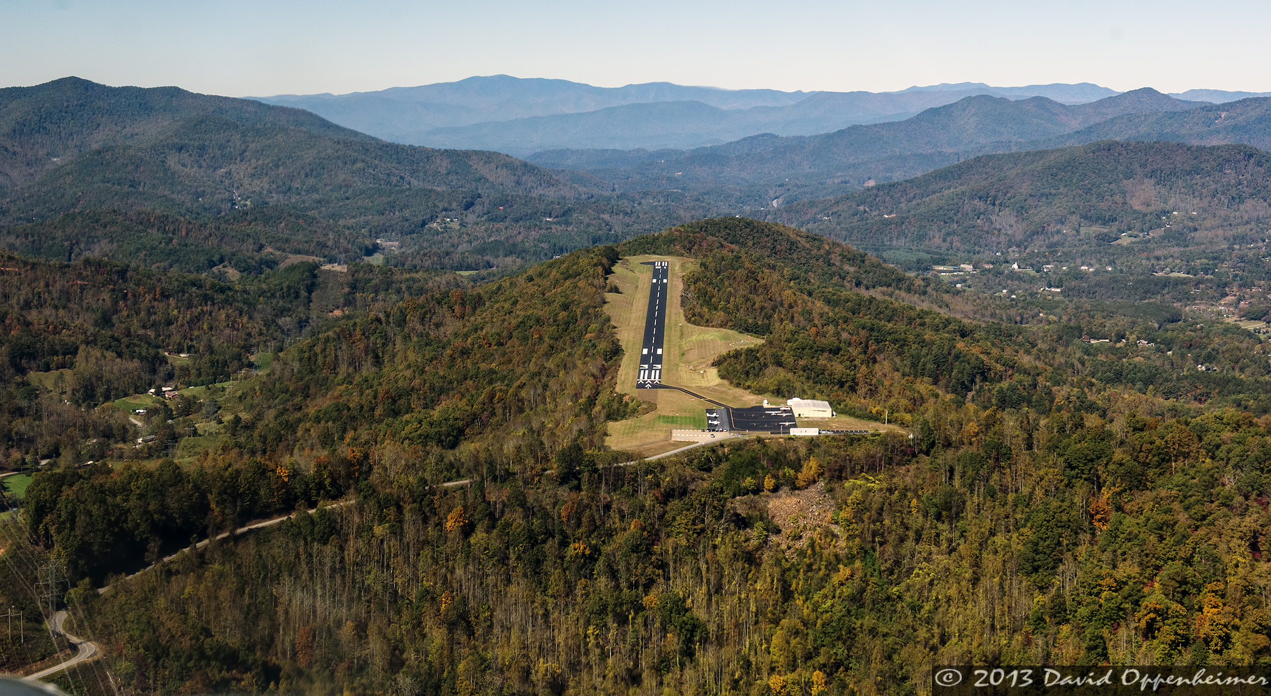
Jackson County Airport 24A in Cullowhee, NC
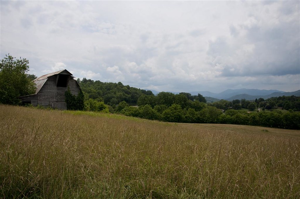
Mountain Roads #4
Little Tennessee River
Alarka Falls

Dark Mountain Peak
Cliff Lake in Nantahala National Forest
Topographic Map of Tathams Creek Rd, Sylva, NC, USA
Find elevation by address:

Places near Tathams Creek Rd, Sylva, NC, USA:
Buttercup Lane
6156 Us-441
143 State Rd 1306
141 Kinsington Dr
1212 Safari Dr
1212 Safari Dr
1212 Safari Dr
820 Safari Dr
457 Fox Trace Rd
457 Fox Trace Rd
1133 Safari Dr #58
41 Saddlewood Ridge
642 Turtle Creek Rd
642 Turtle Creek Rd
642 Turtle Creek Rd
521 Turtle Creek Rd
404 Cabe Rd
401 Cabe Rd
349 Cabe Rd
16 Leelanau Ln
Recent Searches:
- Elevation of Corso Fratelli Cairoli, 35, Macerata MC, Italy
- Elevation of Tallevast Rd, Sarasota, FL, USA
- Elevation of 4th St E, Sonoma, CA, USA
- Elevation of Black Hollow Rd, Pennsdale, PA, USA
- Elevation of Oakland Ave, Williamsport, PA, USA
- Elevation of Pedrógão Grande, Portugal
- Elevation of Klee Dr, Martinsburg, WV, USA
- Elevation of Via Roma, Pieranica CR, Italy
- Elevation of Tavkvetili Mountain, Georgia
- Elevation of Hartfords Bluff Cir, Mt Pleasant, SC, USA