Elevation of Tatekushigō, Shinkamigotō-chō, Minamimatsuura-gun, Nagasaki-ken -, Japan
Location: Japan > Nagasaki Prefecture > Minamimatsuura District > Shinkamigoto >
Longitude: 129.103688
Latitude: 33.0645569
Elevation: 106m / 348feet
Barometric Pressure: 100KPa
Elevation Map:
Satellite Map:
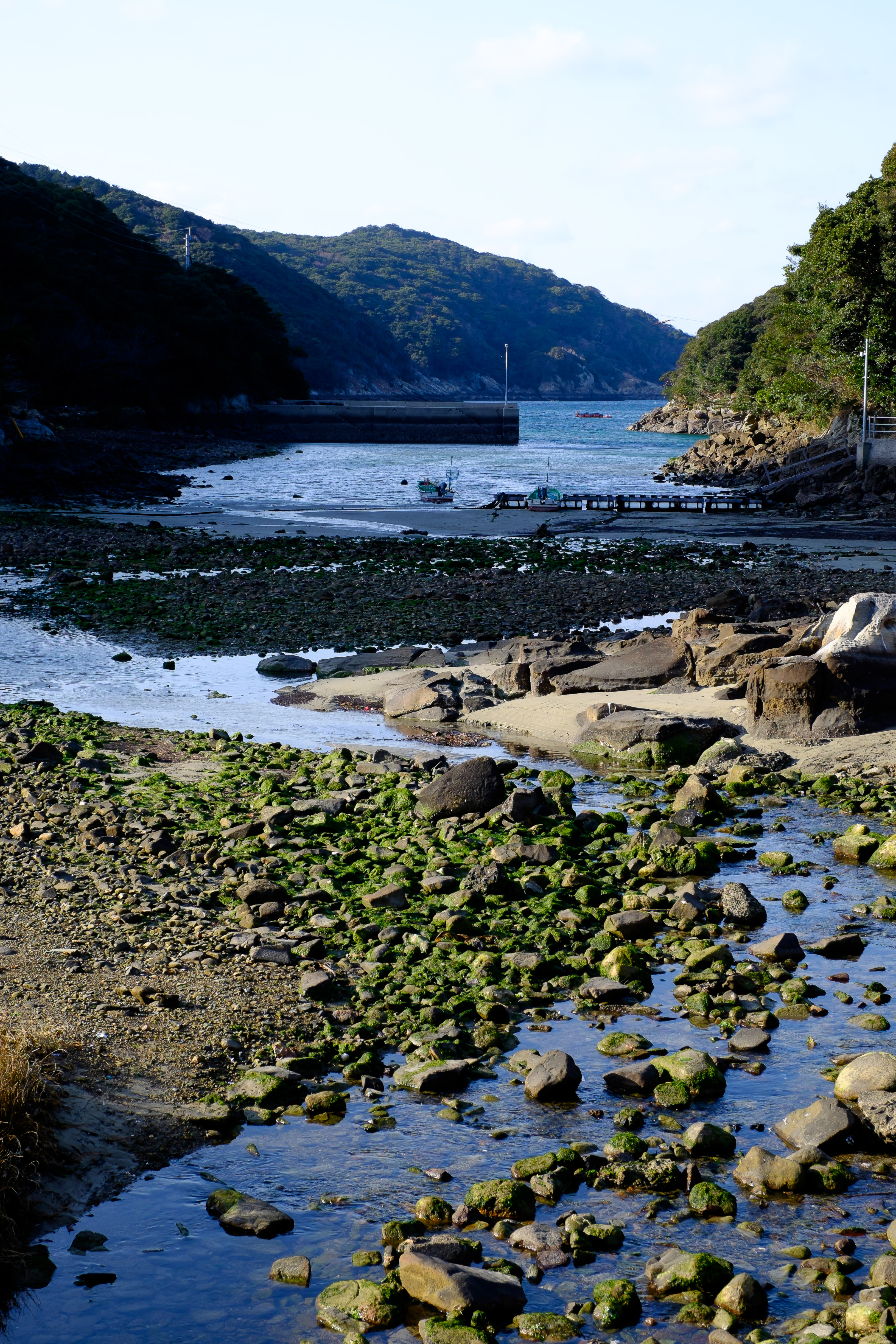
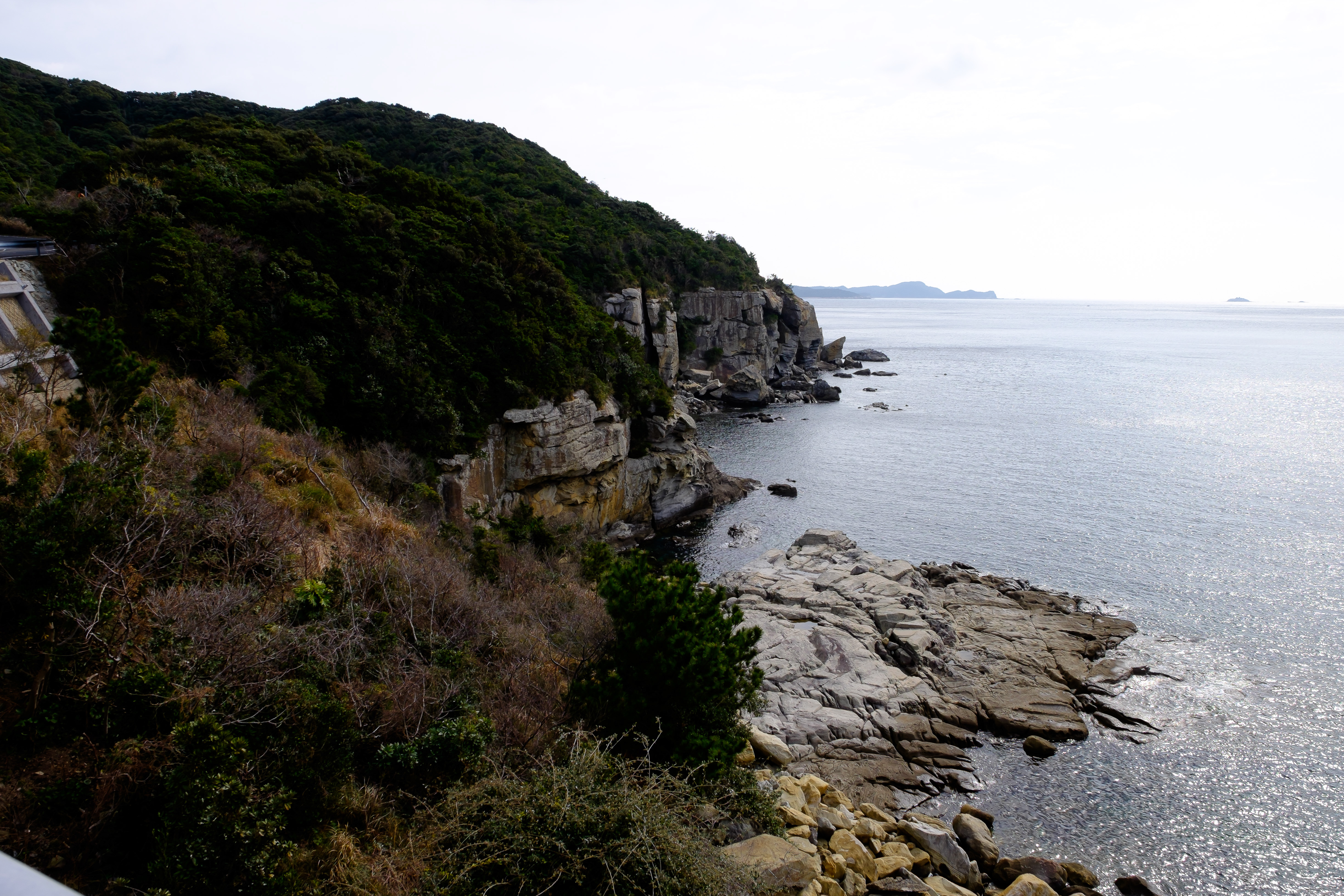
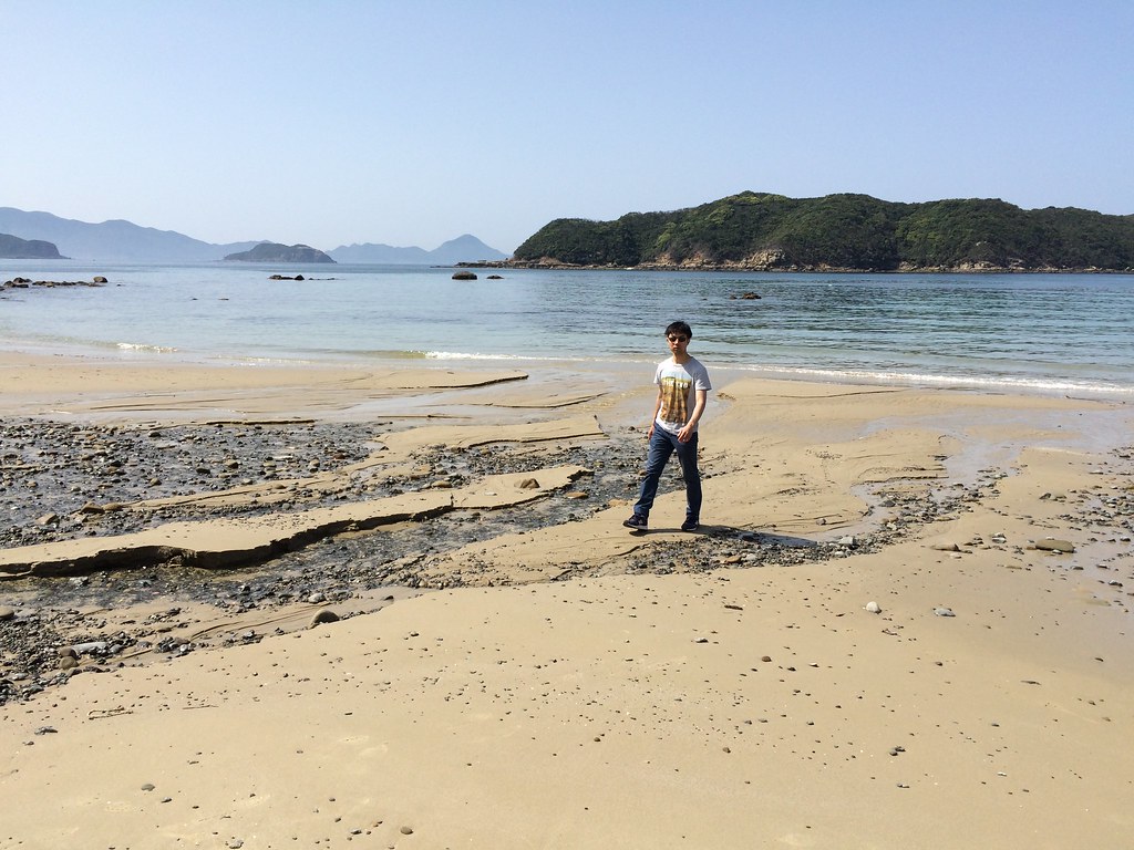
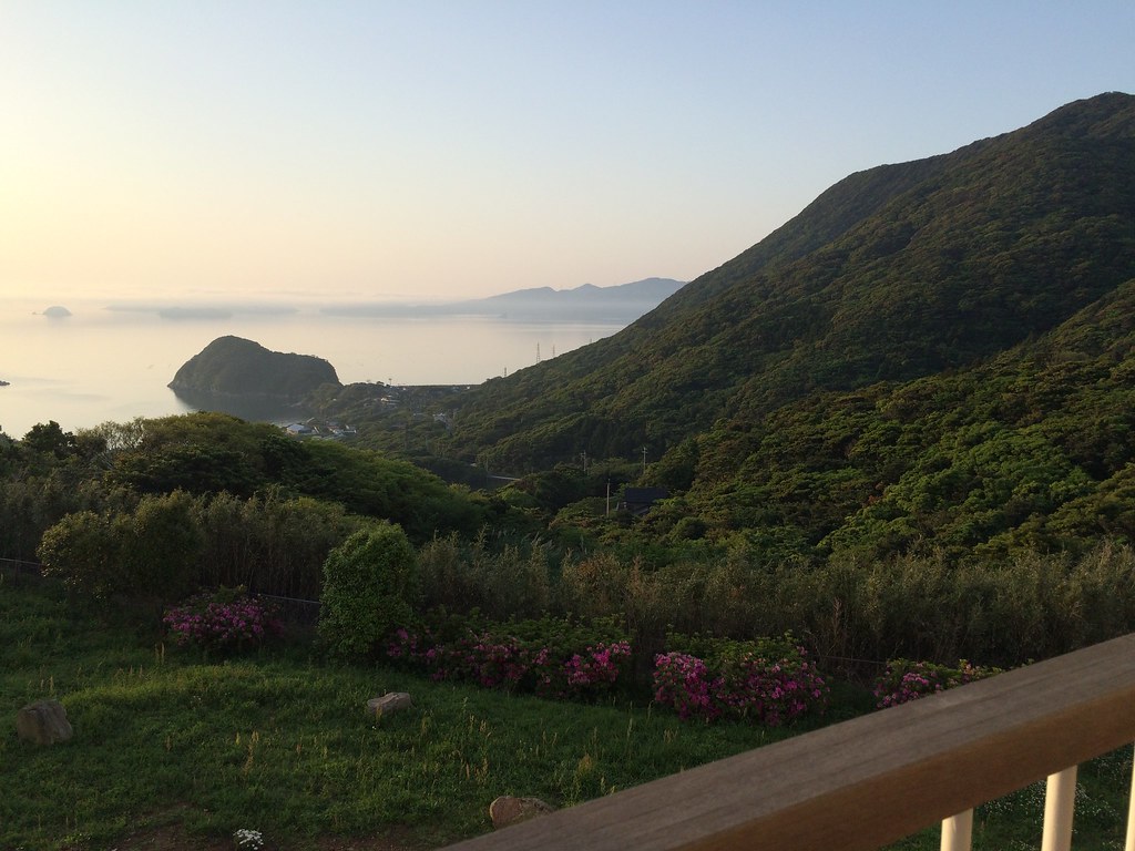
Related Photos:

BY STEPHEN FITZSIMONS

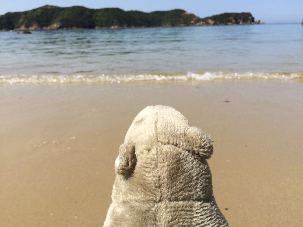
2015-05-01 14.34.11

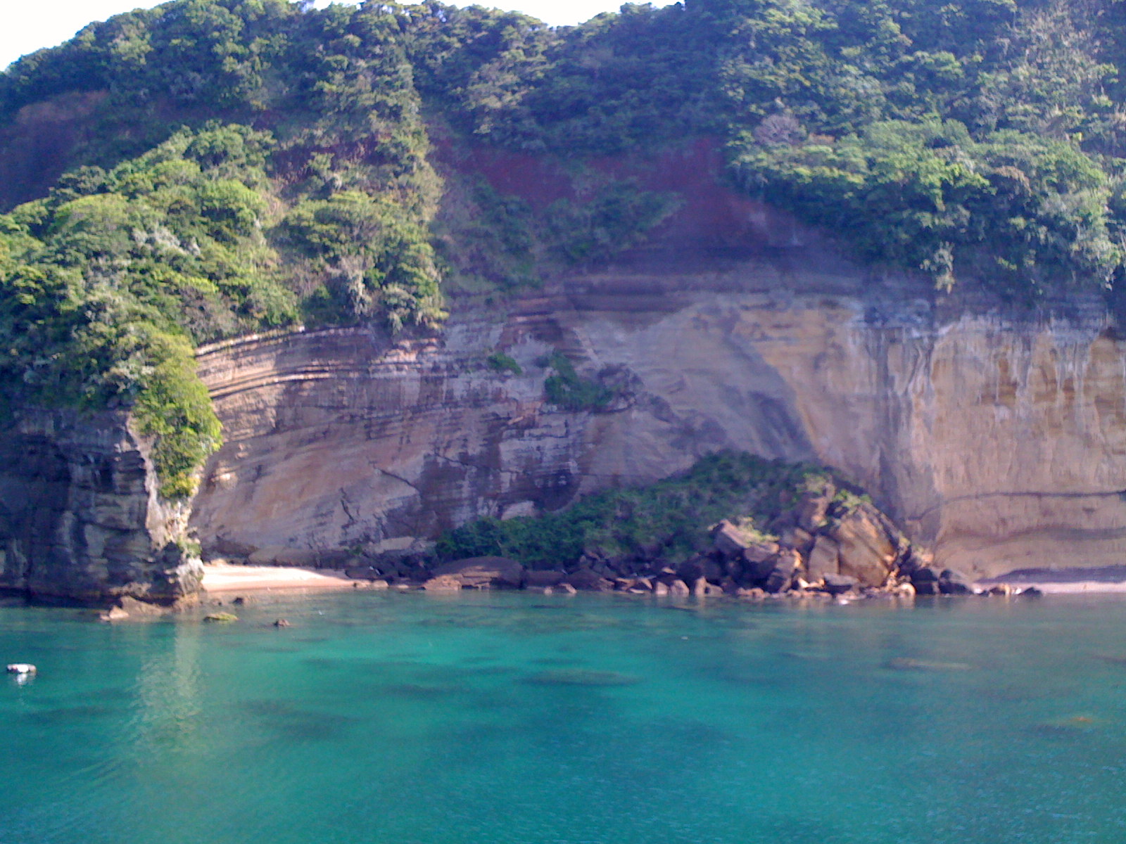
2015-05-01 14.37.48
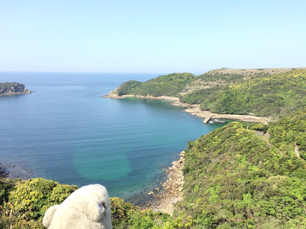
2015-05-01 14.37.53

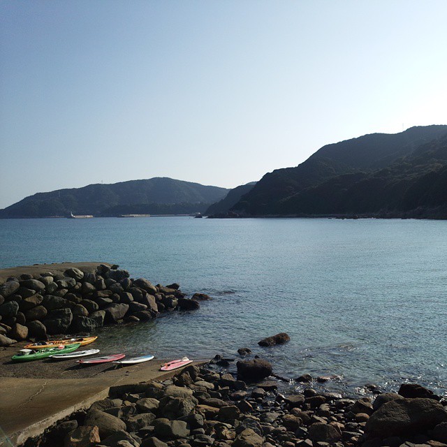
2015-05-01 18.41.09
なんだここは!
2015-05-01 14.59.15
五島の海でマリンスポーツしてくる #勝手に長崎しまレポーター

2015-05-01 14.54.06

2015-05-01 14.31.45
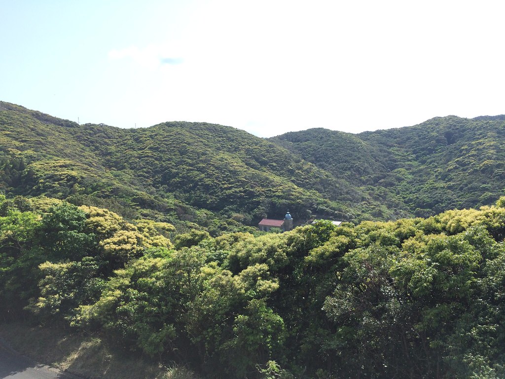
Nokubi church

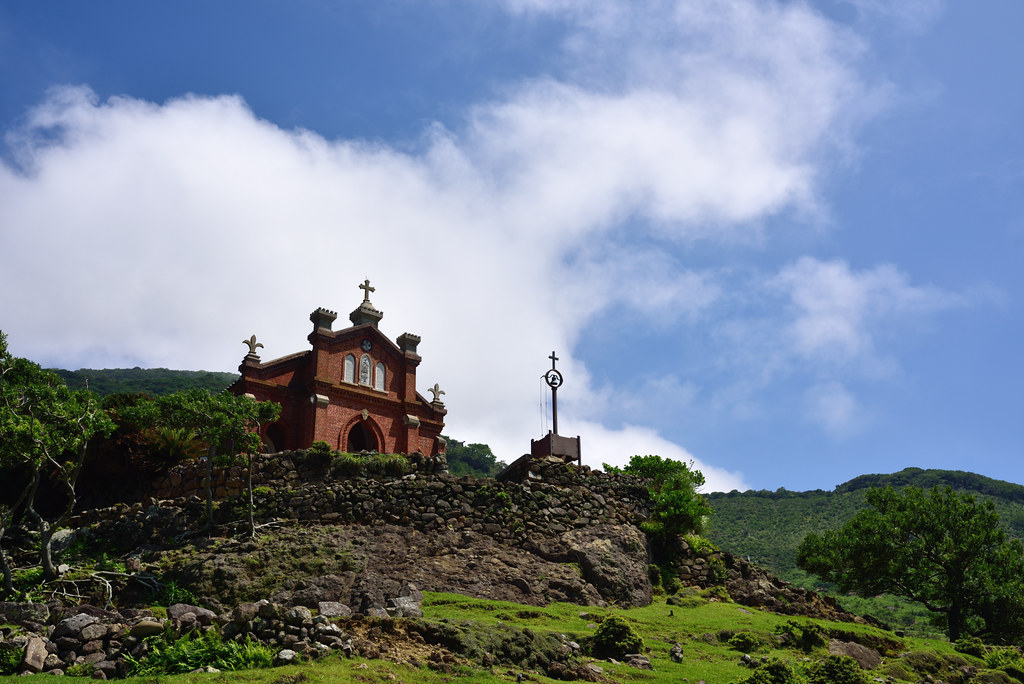
Kashiragashima Church

2015-05-01 14.44.09

2015-05-01 14.29.31
2015-05-01 12.57.31
2015-05-01 13.25.25
2015-05-01 14.54.04
20150307-DSCF0469.jpg
20150307-DSCF0387.jpg
2015-05-01 14.43.37
2015-05-02 06.10.51
Topographic Map of Tatekushigō, Shinkamigotō-chō, Minamimatsuura-gun, Nagasaki-ken -, Japan
Find elevation by address:

Places near Tatekushigō, Shinkamigotō-chō, Minamimatsuura-gun, Nagasaki-ken -, Japan:
Shinkamigoto
Minamimatsuura District
Ojika
Nakamuragō, Ojika-chō, Kitamatsuura-gun, Nagasaki-ken -, Japan
Arakawagō, Shinkamigotō-chō, Minamimatsuura-gun, Nagasaki-ken -, Japan
-1 Kamiōzuchō, Gotō-shi, Nagasaki-ken -, Japan
Tomiemachi Karitate, Gotō-shi, Nagasaki-ken -, Japan
Recent Searches:
- Elevation of Corso Fratelli Cairoli, 35, Macerata MC, Italy
- Elevation of Tallevast Rd, Sarasota, FL, USA
- Elevation of 4th St E, Sonoma, CA, USA
- Elevation of Black Hollow Rd, Pennsdale, PA, USA
- Elevation of Oakland Ave, Williamsport, PA, USA
- Elevation of Pedrógão Grande, Portugal
- Elevation of Klee Dr, Martinsburg, WV, USA
- Elevation of Via Roma, Pieranica CR, Italy
- Elevation of Tavkvetili Mountain, Georgia
- Elevation of Hartfords Bluff Cir, Mt Pleasant, SC, USA