Elevation map of Taroudant, Morocco
Location: Morocco > Souss-massa-draa >
Longitude: -8.3088441
Latitude: 30.4472071
Elevation: 1331m / 4367feet
Barometric Pressure: 86KPa
Elevation Map:
Satellite Map:
Related Photos:
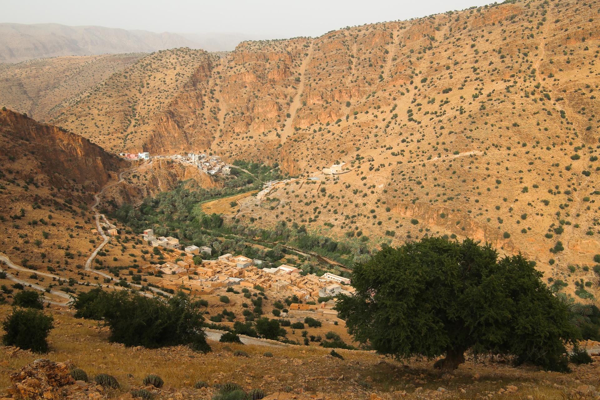
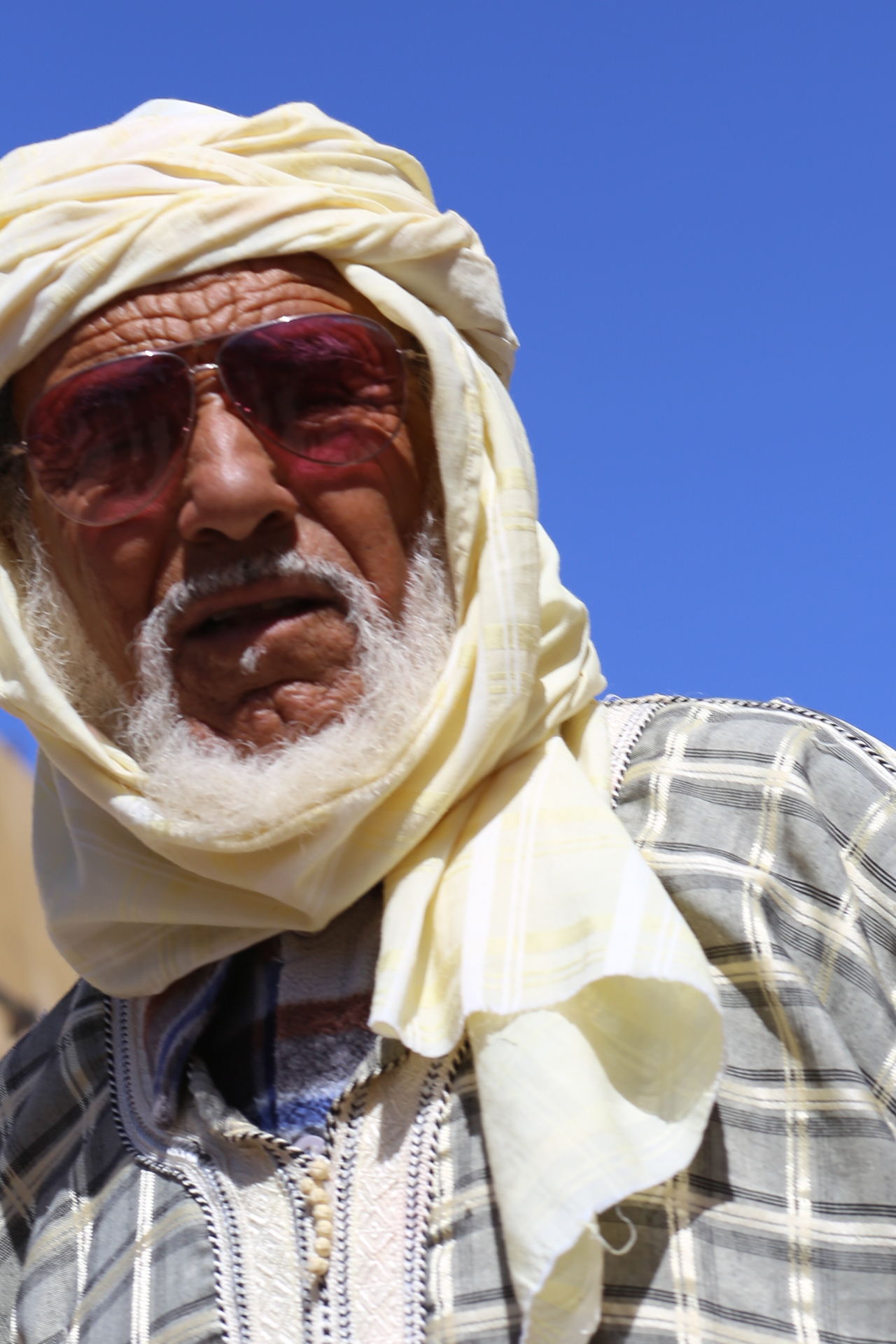
Idaoulimit (Idwlmit)
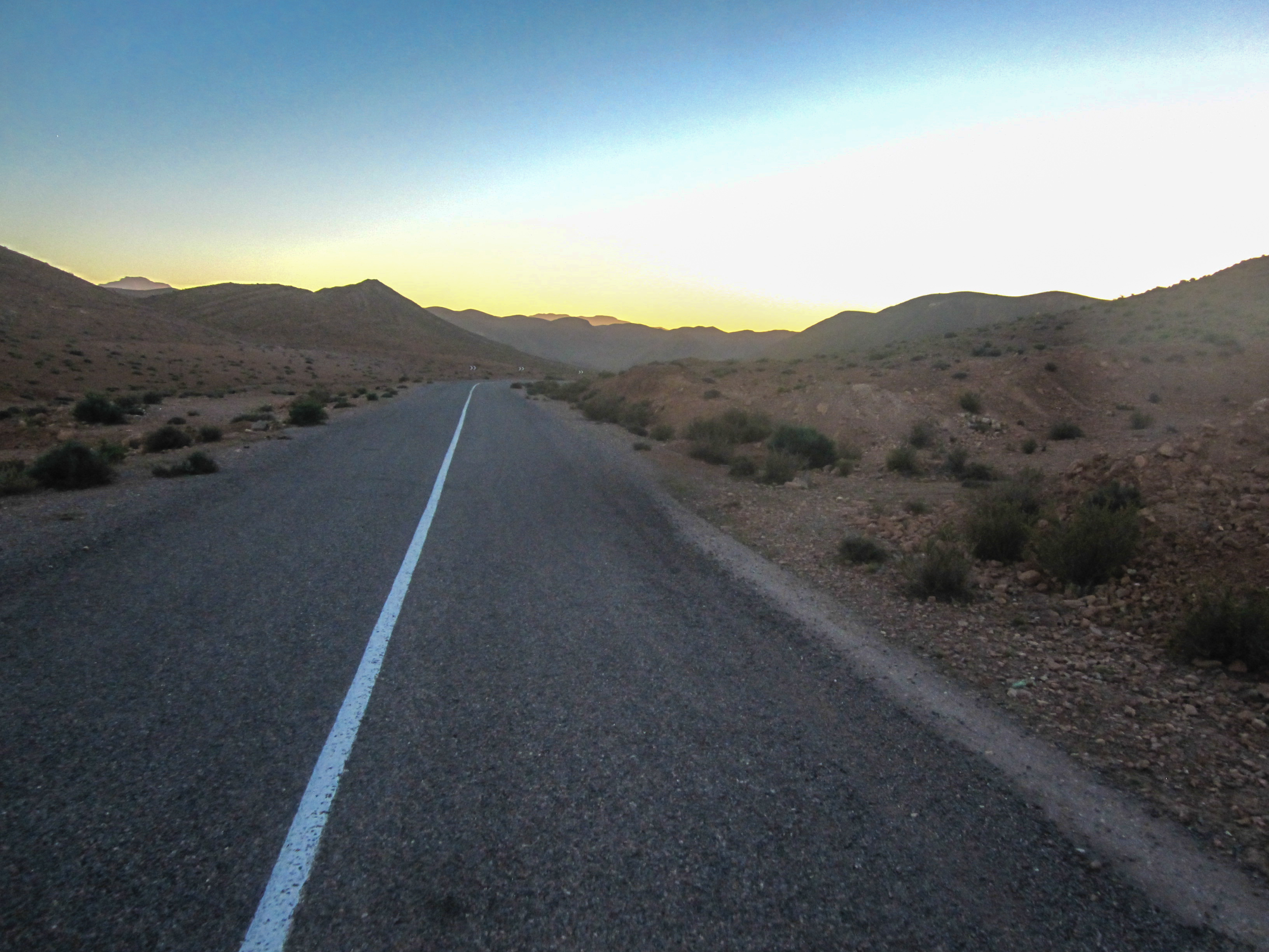
Road around Azagharnirs, Anti-Atlas, Morocco
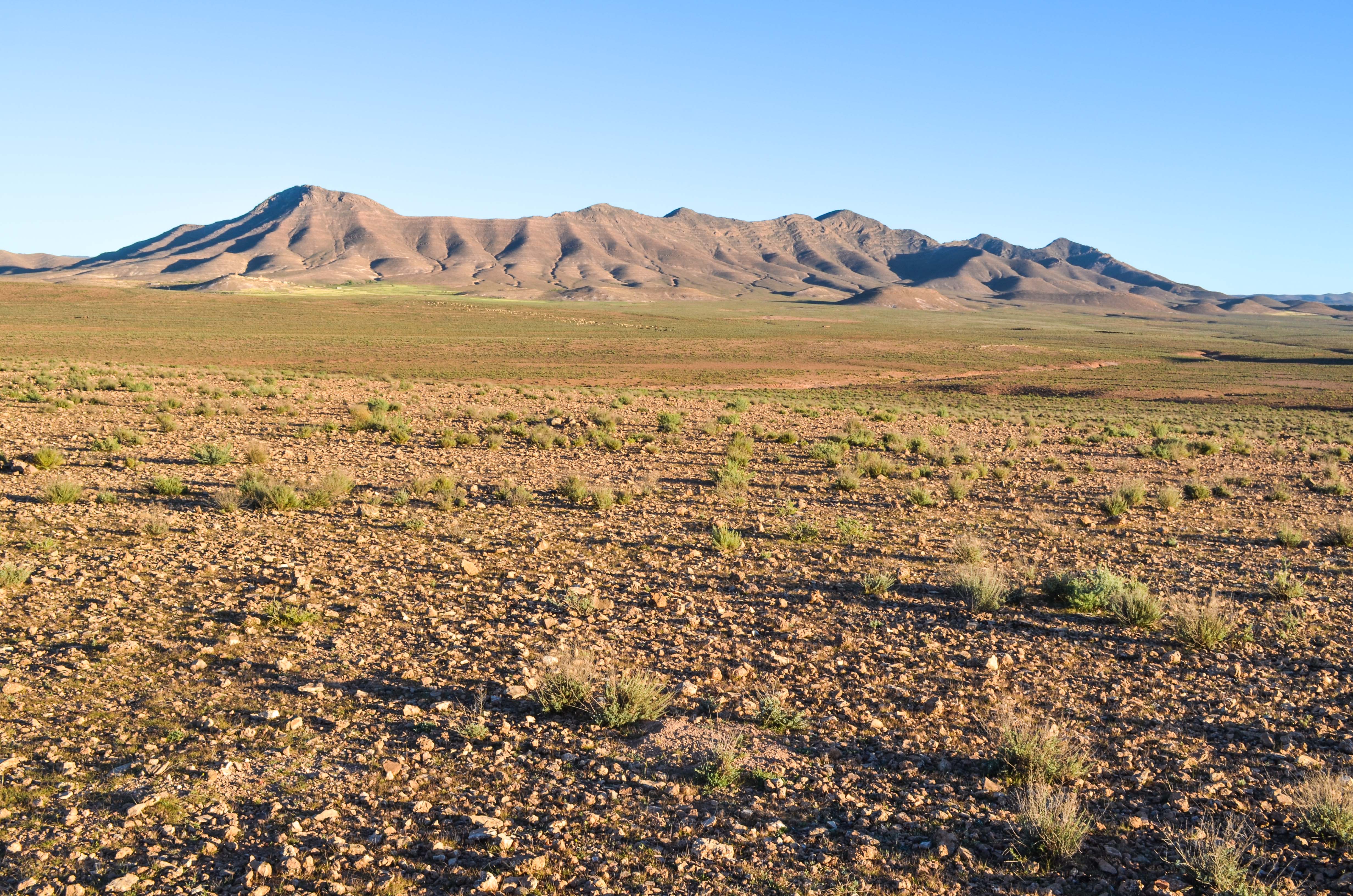
Road around Azagharnirs, Anti-Atlas, Morocco
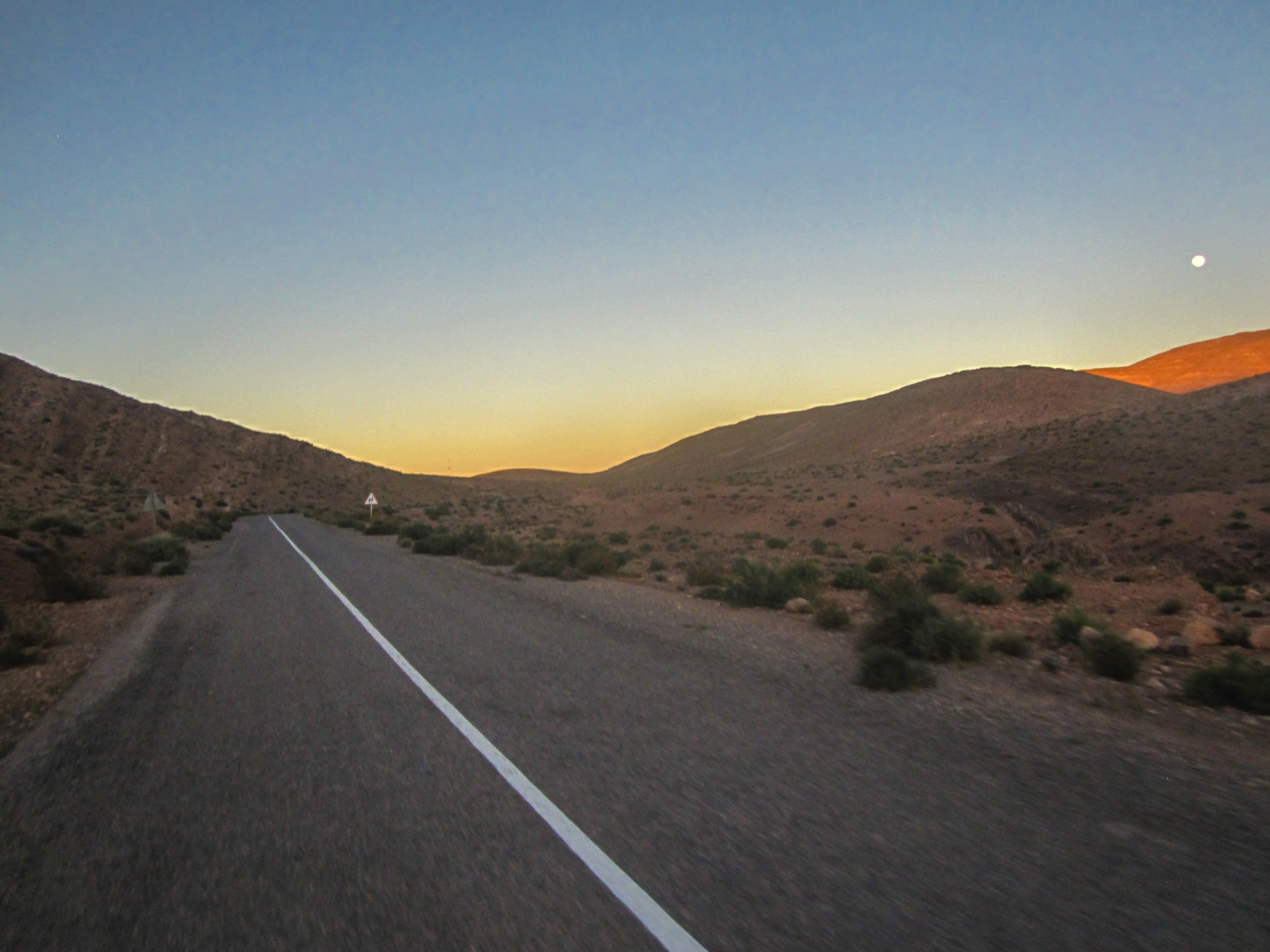
Road around Azagharnirs, Anti-Atlas, Morocco

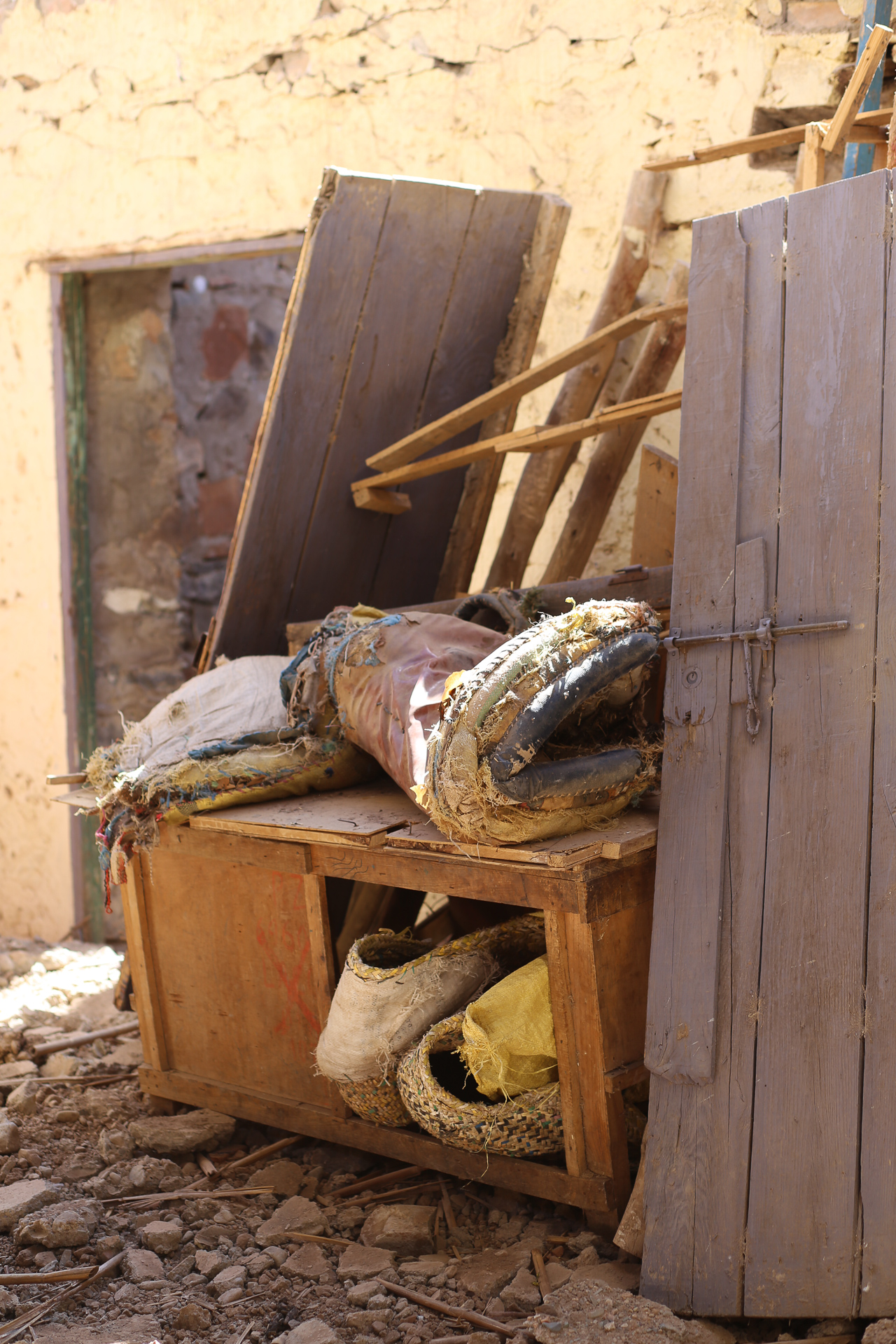
Berber room, Idaoulimit (Idwlmit)
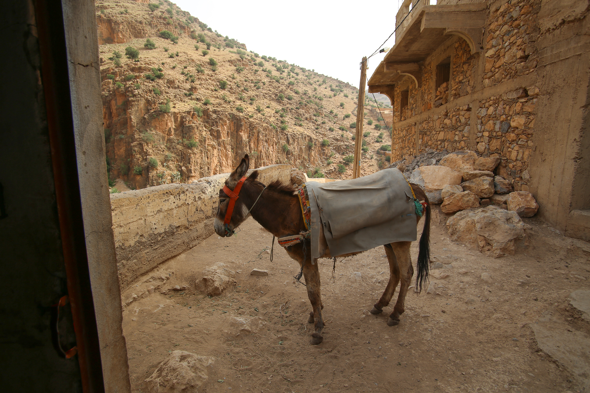
Berber donkey, Idaoulimit (Idwlmit)
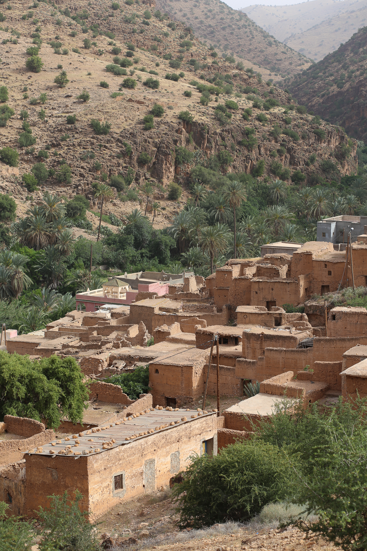
Idaoulimit (Idwlmit)

img_7419-57
img_7420-58

img_7423-59
img_7426-60
img_7429-61

img_7432-62
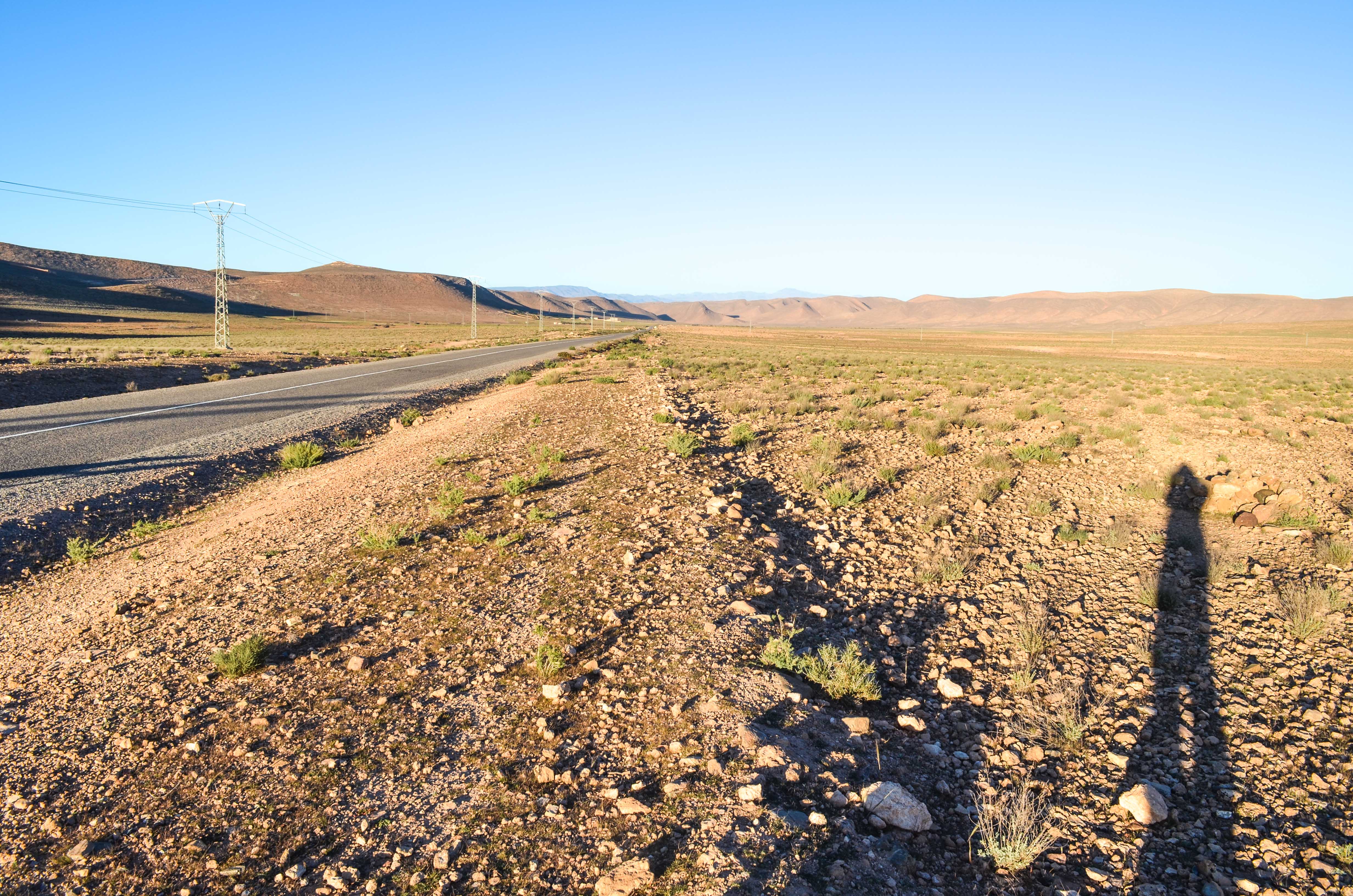
Road around Azagharnirs, Anti-Atlas, Morocco
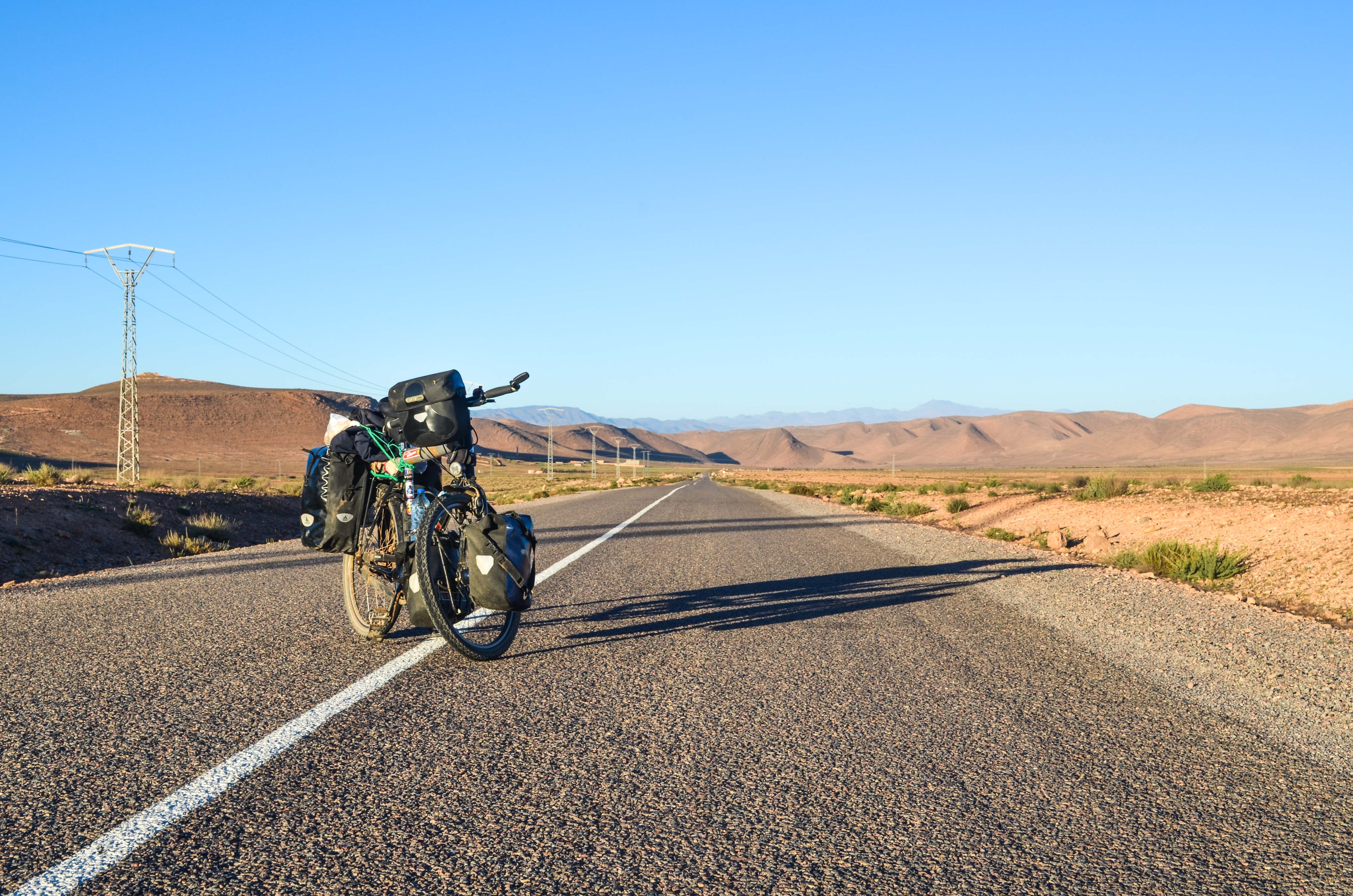
Road around Azagharnirs, Anti-Atlas, Morocco

Road around Azagharnirs, Anti-Atlas, Morocco
Topographic Map of Taroudant, Morocco
Find elevation by address:

Places in Taroudant, Morocco:
Places near Taroudant, Morocco:
Recent Searches:
- Elevation of Corso Fratelli Cairoli, 35, Macerata MC, Italy
- Elevation of Tallevast Rd, Sarasota, FL, USA
- Elevation of 4th St E, Sonoma, CA, USA
- Elevation of Black Hollow Rd, Pennsdale, PA, USA
- Elevation of Oakland Ave, Williamsport, PA, USA
- Elevation of Pedrógão Grande, Portugal
- Elevation of Klee Dr, Martinsburg, WV, USA
- Elevation of Via Roma, Pieranica CR, Italy
- Elevation of Tavkvetili Mountain, Georgia
- Elevation of Hartfords Bluff Cir, Mt Pleasant, SC, USA