Elevation of Tangtse
Longitude: 78.1649938
Latitude: 34.0321833
Elevation: 3942m / 12933feet
Barometric Pressure: 62KPa
Elevation Map:
Satellite Map:
Related Photos:

Beautiful landscapes on the view to Highest motorable pass in the world. Leh-Manali Highway, India . ????PushpendraGautam.in

One day we had rent the bicycles for around #Leh trip. Nice body training over 3500m altitude and picturesque views with common locals life. • Как-то мы арендовали велики для исследования окрестностей Леха. Невероятно трудно крутить педали на высоте боле

Standing tall on the high mountain passes and the views that it has to offer are unparalleled to anything. While crossing Ganda La (4980mtrs) our first pass during the Markha valley trek, we were greeted by the wide panoramic landscape of ladakh. Looking

Pangong Tso

Little green Village

Against the stream.

Light&Shades #leh #ladakh #ladakhdiaries #advanturetrip #foxtraveller #nationalgeographic #travelgram #nature #landscape #india

Grazing Horse near Muglib

Frozen Waterfall, Zanskar, Ladakh. Sometimes we wish we could read your mind to find out what picture do you like on a particular day and when you are in a travel mode... Sincerely #ShimlaLife: "Anxiety is the most silently painful experience. It makes n

Muglib (elevation 13,500')

Heading SE to Durbuk

Masterpeice #engineering marvel of Indian Army, a bridge constructed with no techy fittings over Shyok River northern Ladakh in India, at LOC connecting Siarei and Franu Villages. This bridge is constructed from wooden lodges. No metal gear used in its c

Heading NW to Durbuk

Grazing sheep, 5 KM east of Tangtse

Ladakh, India

Heading SE to Muglib, on Pangong Lake road

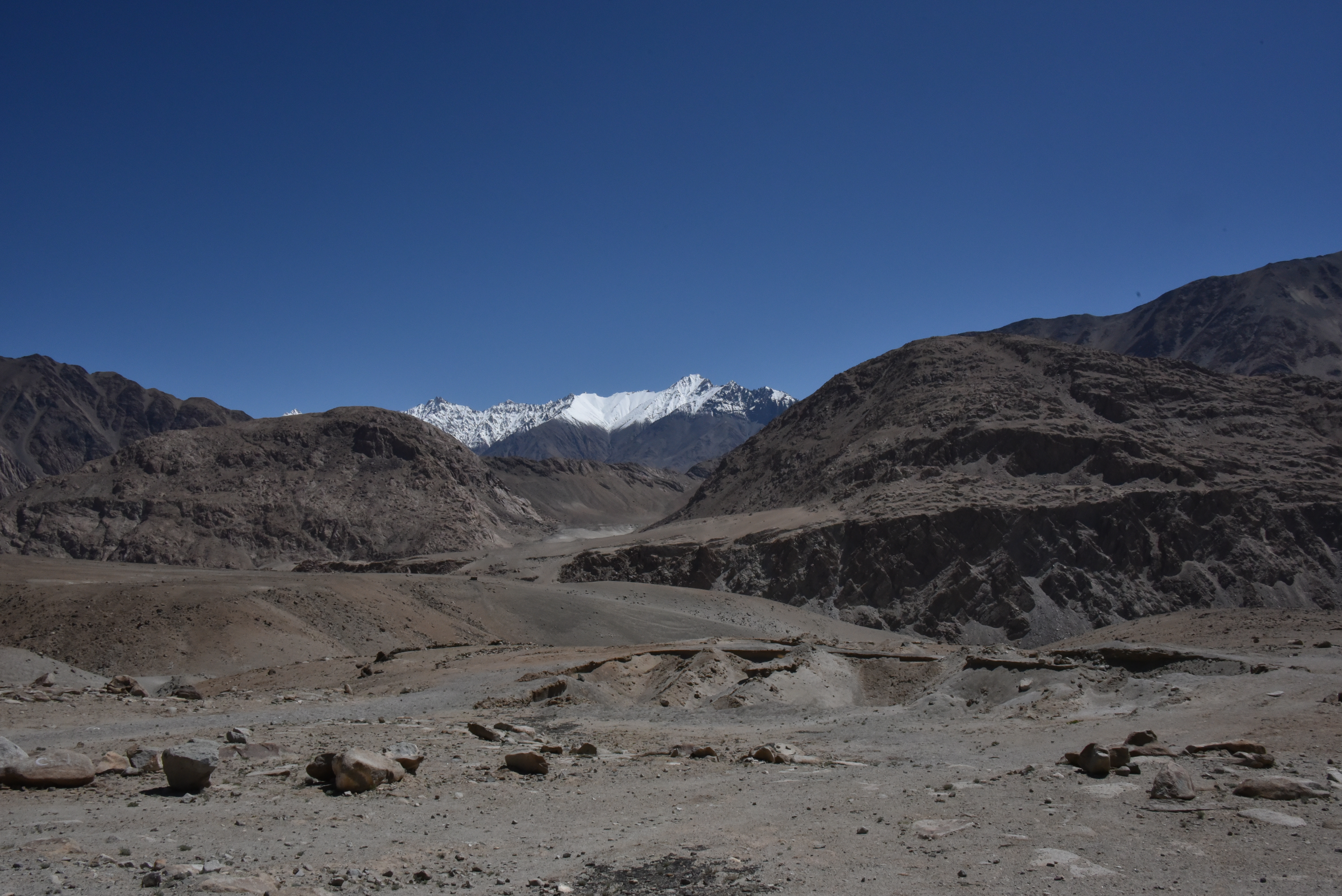
Approaching Tangtse from the east
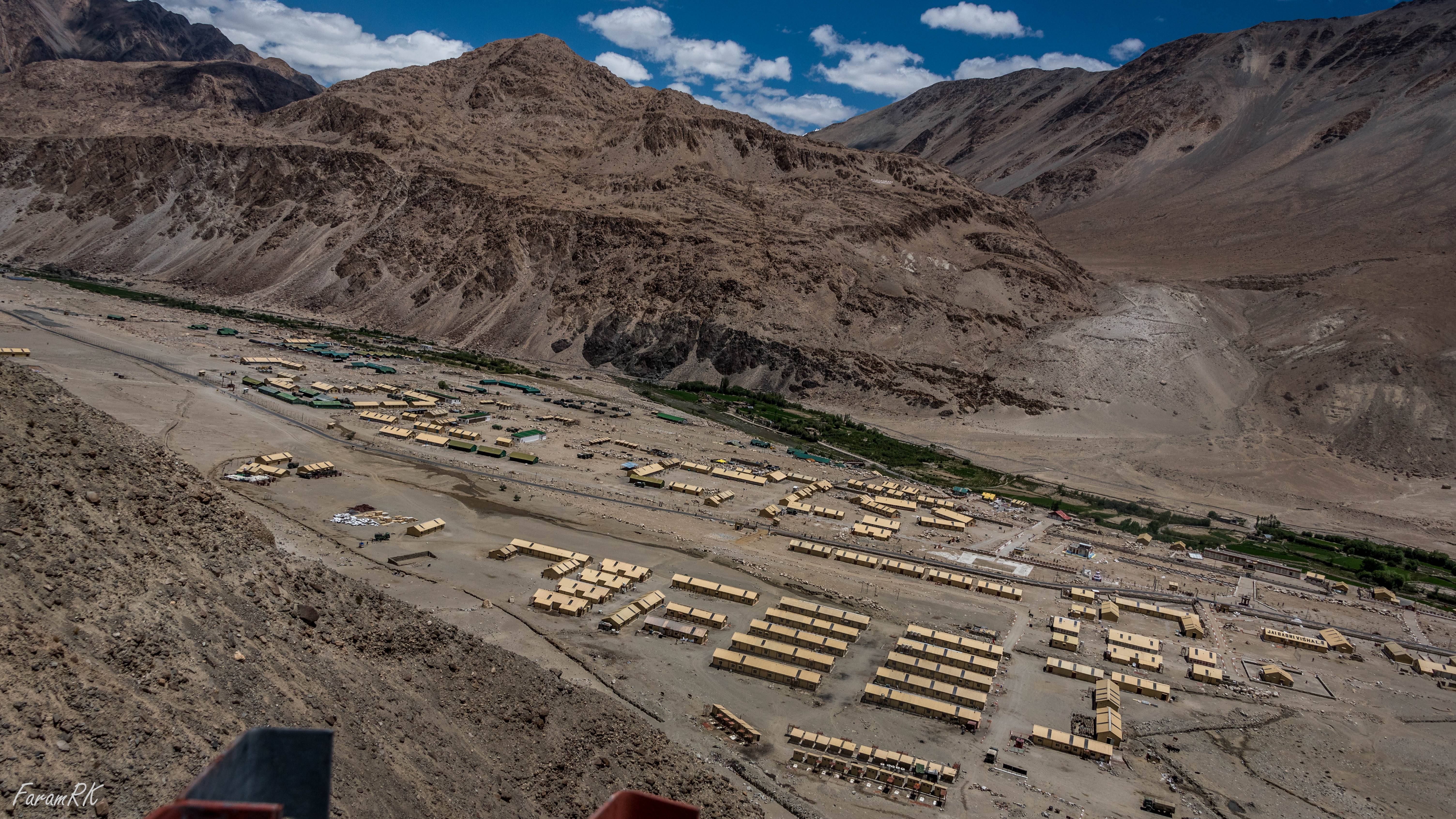
Durbuk (elevation 13,000')

Border Roads Organisation - Road Signs
On the road to Pangong lake

Border Roads Organisation - Road Signs

Throwback to one of the real times I experience pure adrenaline and complete peace at the same time. A local rickety bus operating between Srinagar in Kashmir to Leh, Ladakh, is one of the best experiences I've ever had so far. . . . . . . . #leh #lada

Border Roads Organisation - Road Signs
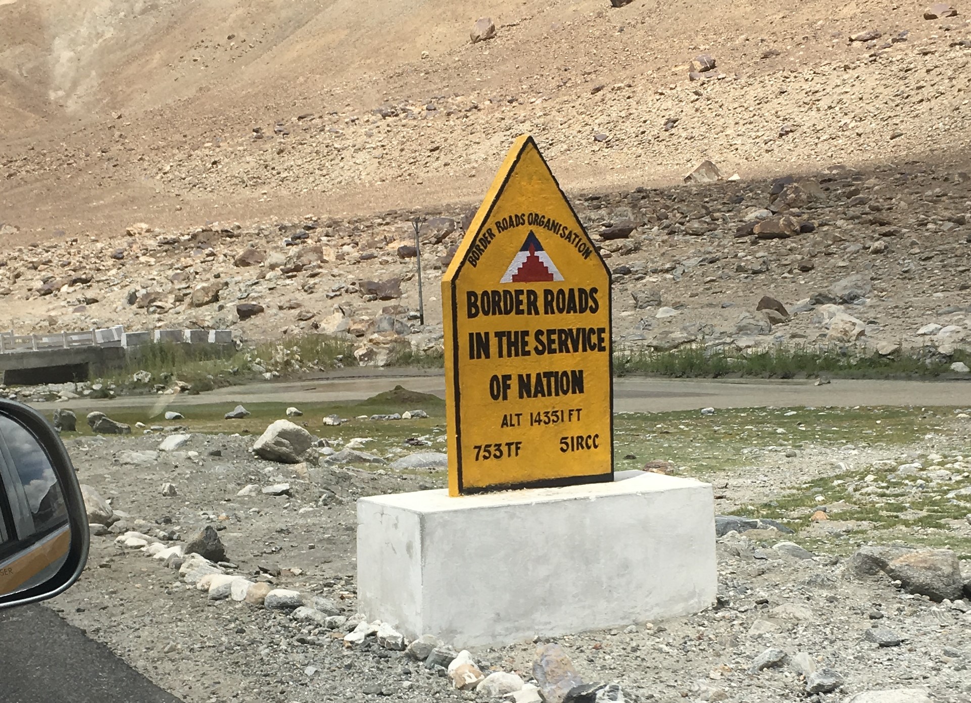
Border Roads Organisation - Road Signs

Sometimes I feel nature has its own way of playing Holi. And we can't really even come close to painting our faces as beautifully as the nature does it. The colours so vivid and the beauty so pristine, I can't really take my eyes off this enchanting piece
Topographic Map of Tangtse
Find elevation by address:

Places near Tangtse:
Nomadic Cup "2nd Highest Coffee Shop In The World"
Durbuk
Ladakh Range
Tsoltak
Changla Pass
Chang La Pass
Lukung
Zingral
Ladakh
Igoo
Chemrey Gompa
Chemrey
Karu
Hemis
Hemis Gompa
Stakna Gompa
Stakna
Thiksey
Thiksay Monastry
Shey
Recent Searches:
- Elevation of Corso Fratelli Cairoli, 35, Macerata MC, Italy
- Elevation of Tallevast Rd, Sarasota, FL, USA
- Elevation of 4th St E, Sonoma, CA, USA
- Elevation of Black Hollow Rd, Pennsdale, PA, USA
- Elevation of Oakland Ave, Williamsport, PA, USA
- Elevation of Pedrógão Grande, Portugal
- Elevation of Klee Dr, Martinsburg, WV, USA
- Elevation of Via Roma, Pieranica CR, Italy
- Elevation of Tavkvetili Mountain, Georgia
- Elevation of Hartfords Bluff Cir, Mt Pleasant, SC, USA