Elevation map of Tangier-Tetouan, Morocco
Location: Morocco >
Longitude: -5.5617279
Latitude: 35.2629558
Elevation: 517m / 1696feet
Barometric Pressure: 95KPa
Elevation Map:
Satellite Map:
Related Photos:
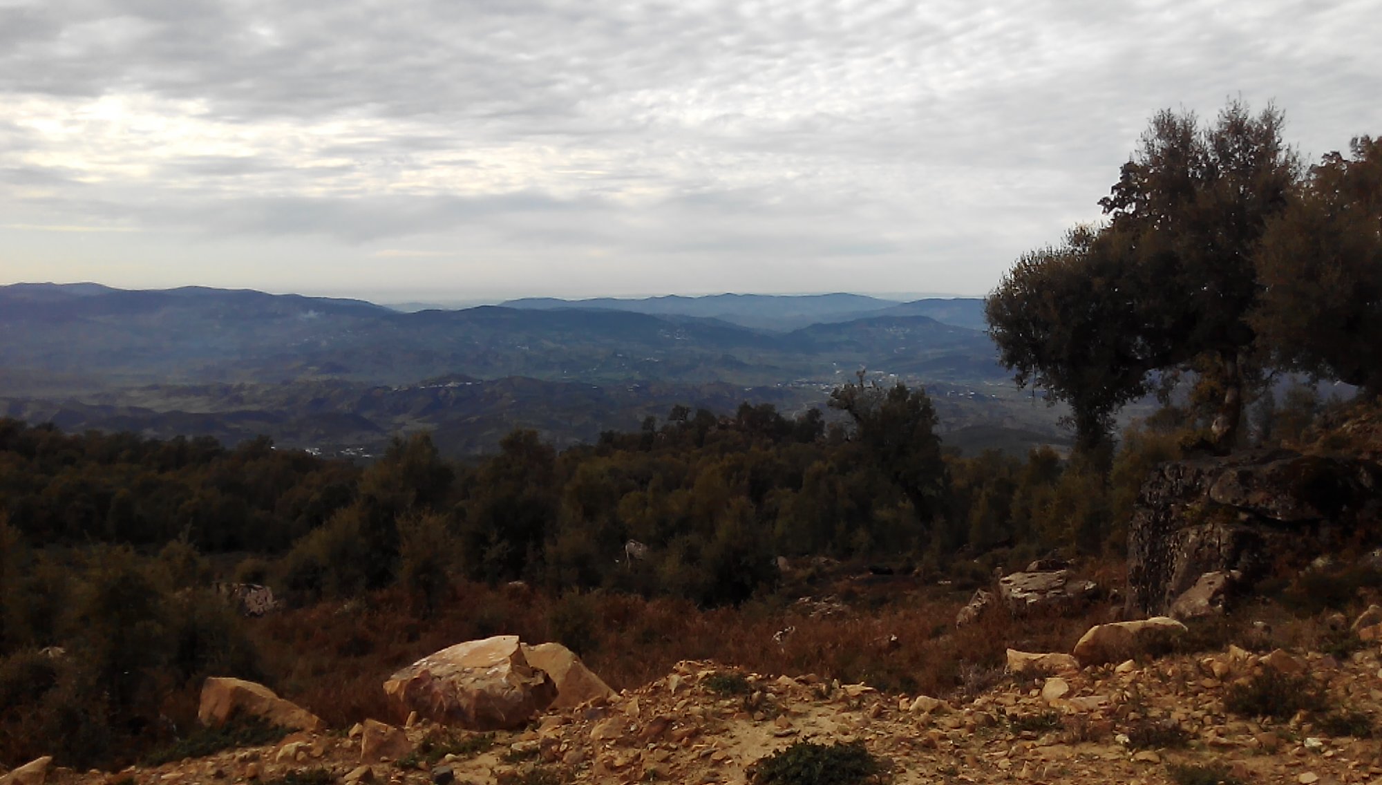
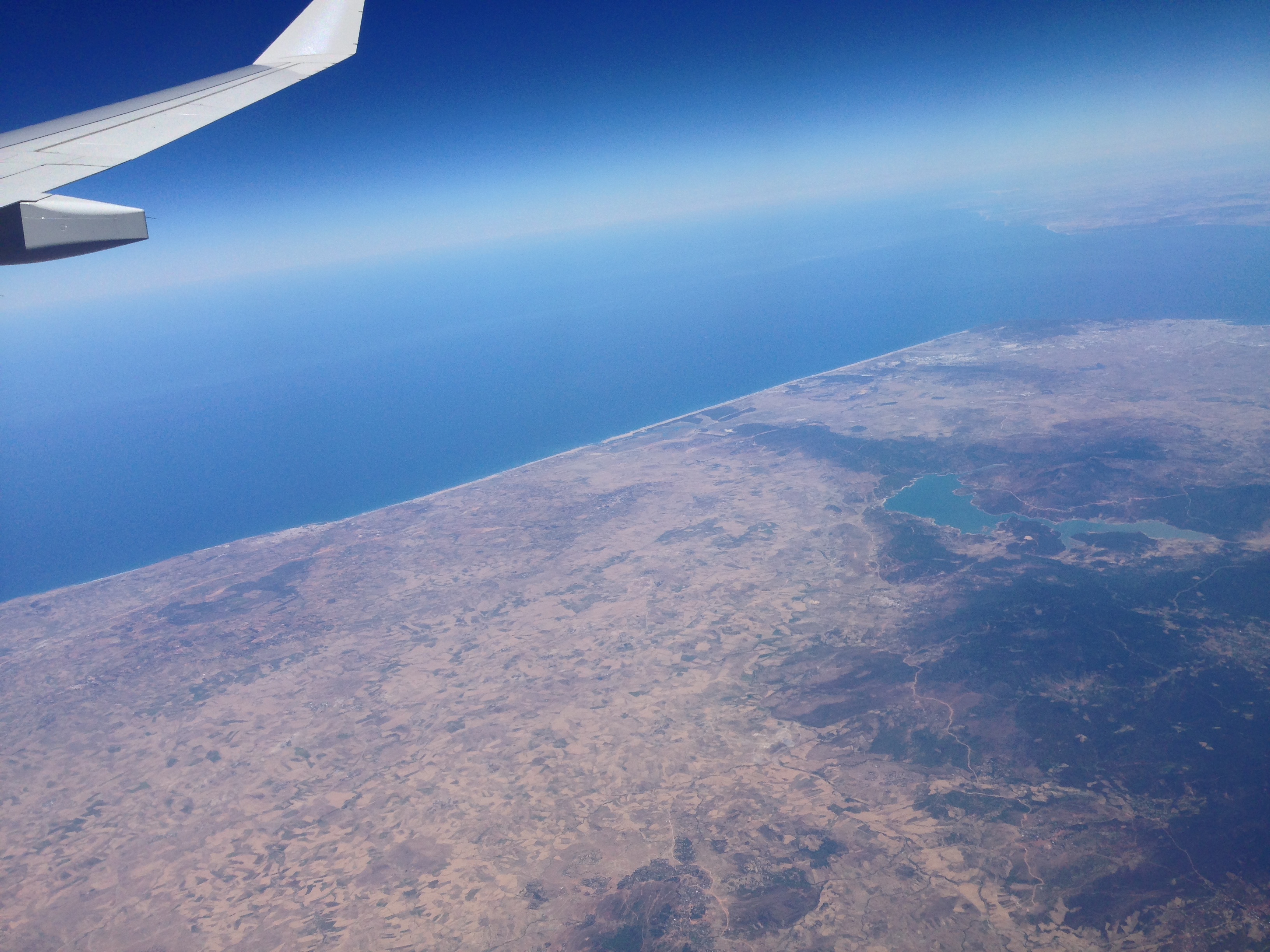
IMG_20150110_134348

IMG_20150110_125724
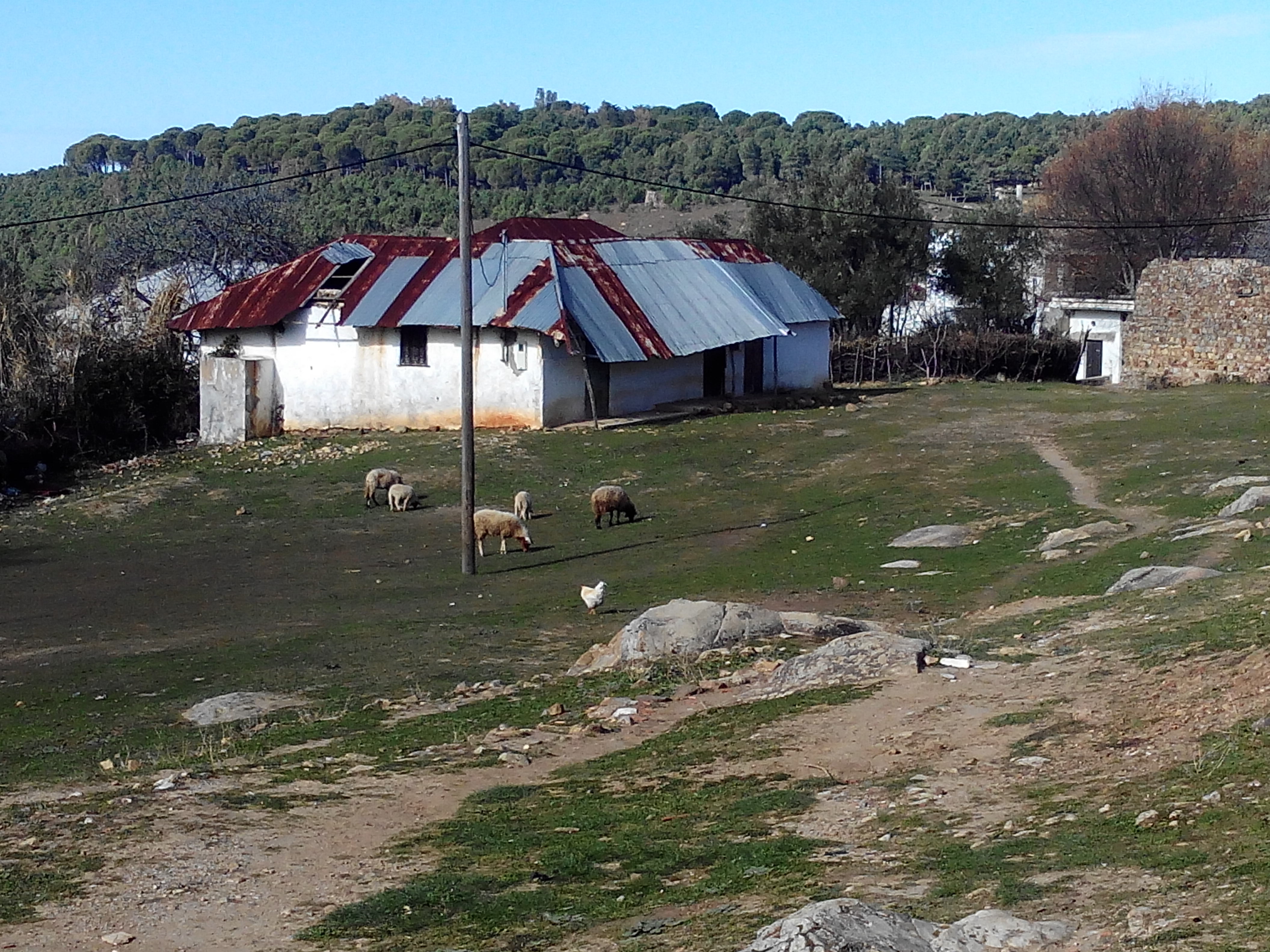
IMG_20150110_131438

Bien ensoleillé
No ar

????????✨N a t u r e✨???????? ????????M o r o c c o???????? ???????? #zizu_photography #wonderful_morocco #Bouhachem #chefchaouen #morocco #maroc

P o r t r a i t Moroccan Girl ✨ #portrait #morocco #maroc #Bouhachem #moroccan #girl #girls #kid #kids #photo #pic #beautiful #beauty #NaturalBeauty #lovely #vsco #vscocam ##instagood #picoftheday #canon #5d #moment #likeforlikes#wonderful_moro

Alive In The Dark
Topographic Map of Tangier-Tetouan, Morocco
Find elevation by address:

Places in Tangier-Tetouan, Morocco:
Places near Tangier-Tetouan, Morocco:
Tangier-tétouan-al Hoceima
Chefchaouen
Tetouan Province
Tetouan
Calle Barriada 12 de Diciemb, 30, Ceuta, Spain
Ceuta
Isla Perejil / Tura
Ceuta
Tarifa
Calle Milano Negro, 2, Tarifa, Cádiz, Spain
Diseminado Rivera de los Molinos, 8, Cádiz, Spain
13b
20a
Algeciras
61 Europa Rd
Interbuild
Naval Hospital Road
Algeciras
31 Europa Rd
7 Mount Rd
Recent Searches:
- Elevation of Corso Fratelli Cairoli, 35, Macerata MC, Italy
- Elevation of Tallevast Rd, Sarasota, FL, USA
- Elevation of 4th St E, Sonoma, CA, USA
- Elevation of Black Hollow Rd, Pennsdale, PA, USA
- Elevation of Oakland Ave, Williamsport, PA, USA
- Elevation of Pedrógão Grande, Portugal
- Elevation of Klee Dr, Martinsburg, WV, USA
- Elevation of Via Roma, Pieranica CR, Italy
- Elevation of Tavkvetili Mountain, Georgia
- Elevation of Hartfords Bluff Cir, Mt Pleasant, SC, USA