Elevation of Taney County, MO, USA
Location: United States > Missouri >
Longitude: -93.017571
Latitude: 36.6576378
Elevation: 203m / 666feet
Barometric Pressure: 99KPa
Elevation Map:
Satellite Map:
Related Photos:

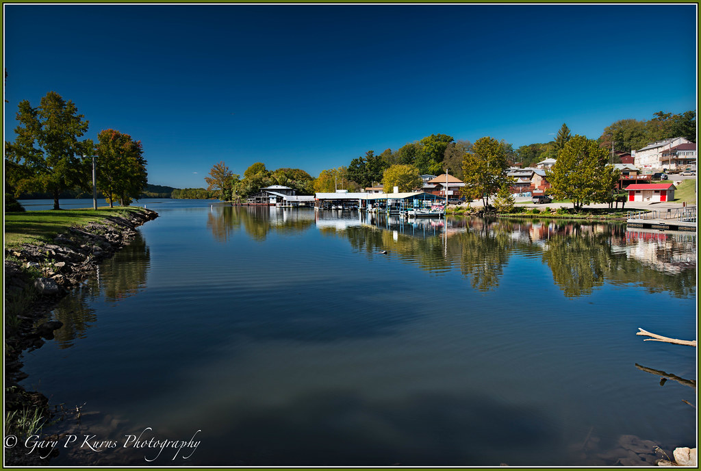
Powersite Dam (MSA)

Blue waterfall

Powersite Dam (MSA)

Powersite Dam (MSA)

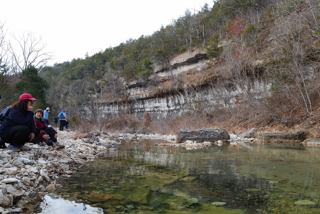
Lunch by the bluffs on Long Creek
Side view of the cabin.
Dawn in Branson
Missouri Morning
Magical Places (2)
Rockaway Beach

Rockaway Beach Resort
Swan Creek
Hercules Glades Wilderness - Pees Hollow Trail
MDC Hercules Glades Wilderness Hike
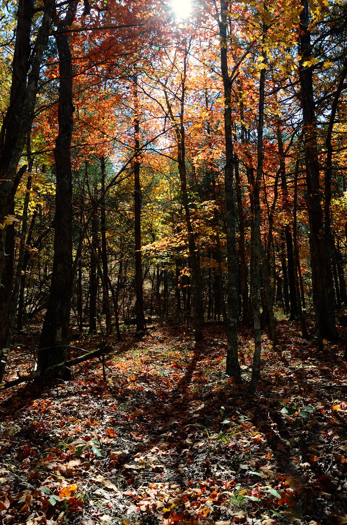
Hercules Glades Wilderness - Pees Hollow Trail
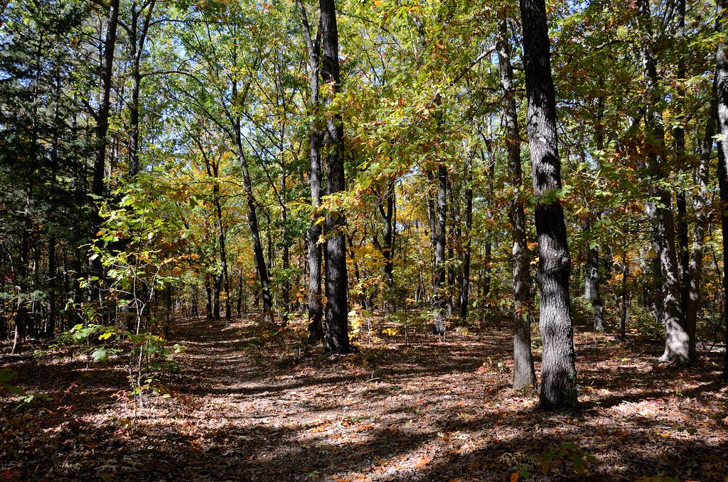
Hercules Glades Wilderness - Start of the Pees Hollow Trail west side
My four fishies
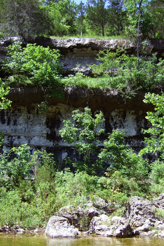
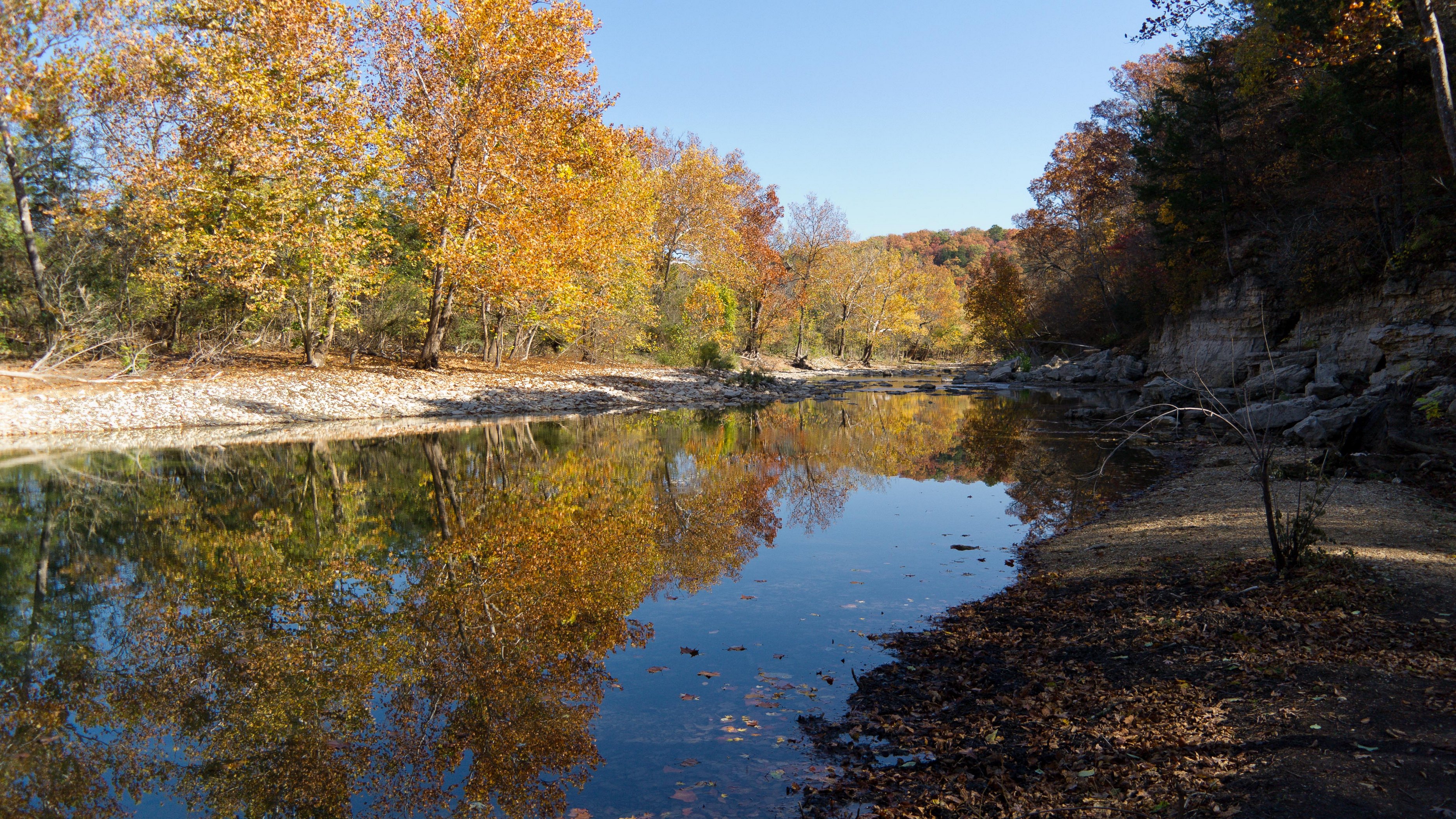
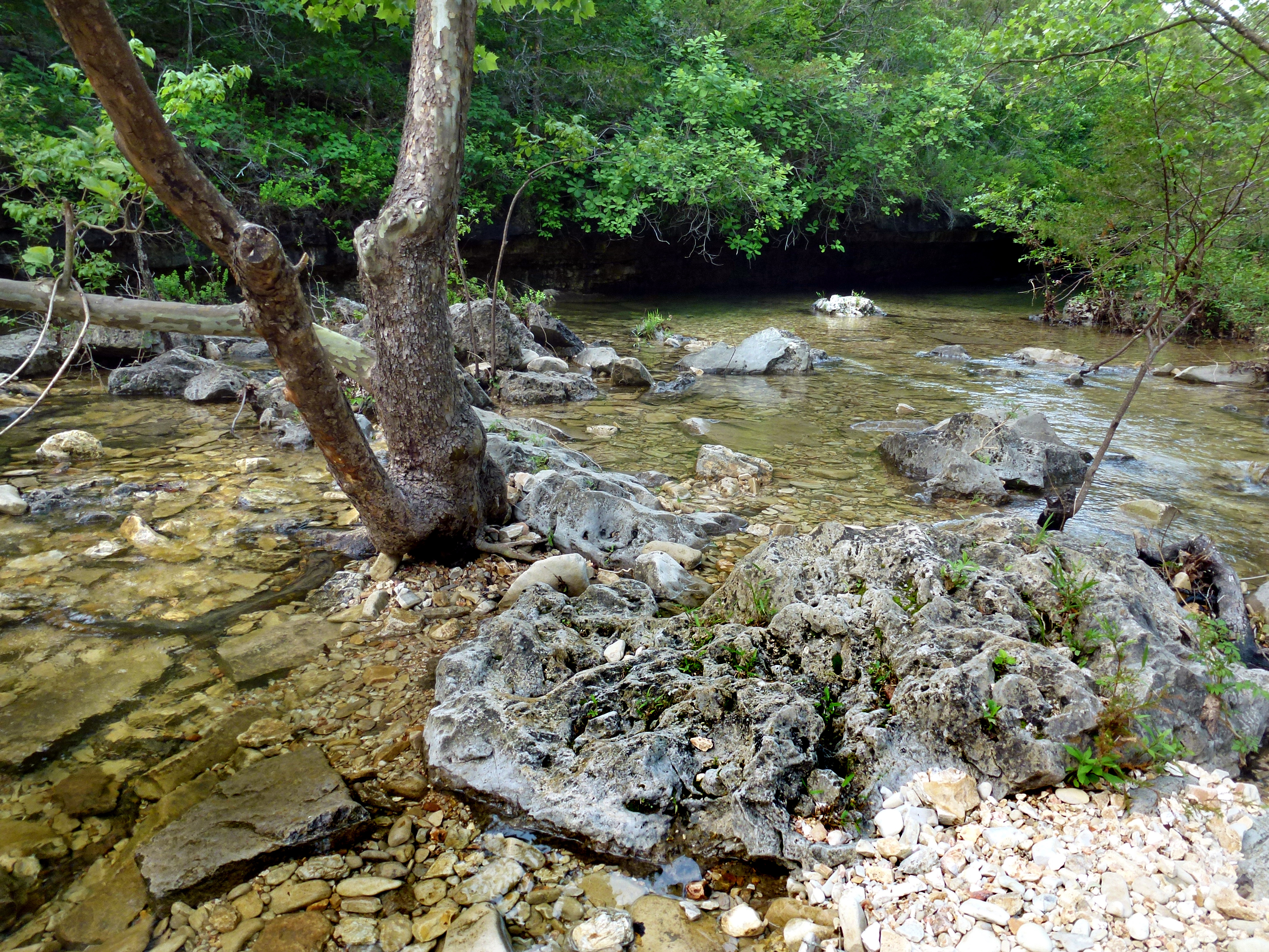
Bluff on Long Creek Hercules Glades
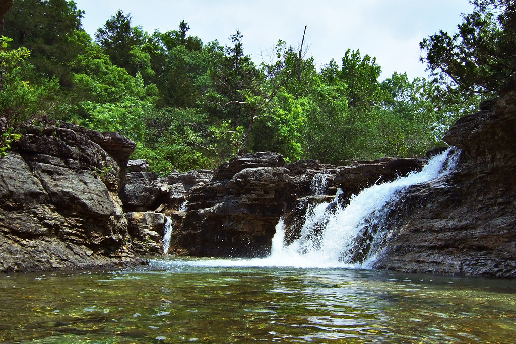
Long Creek falls, Hercules Glades
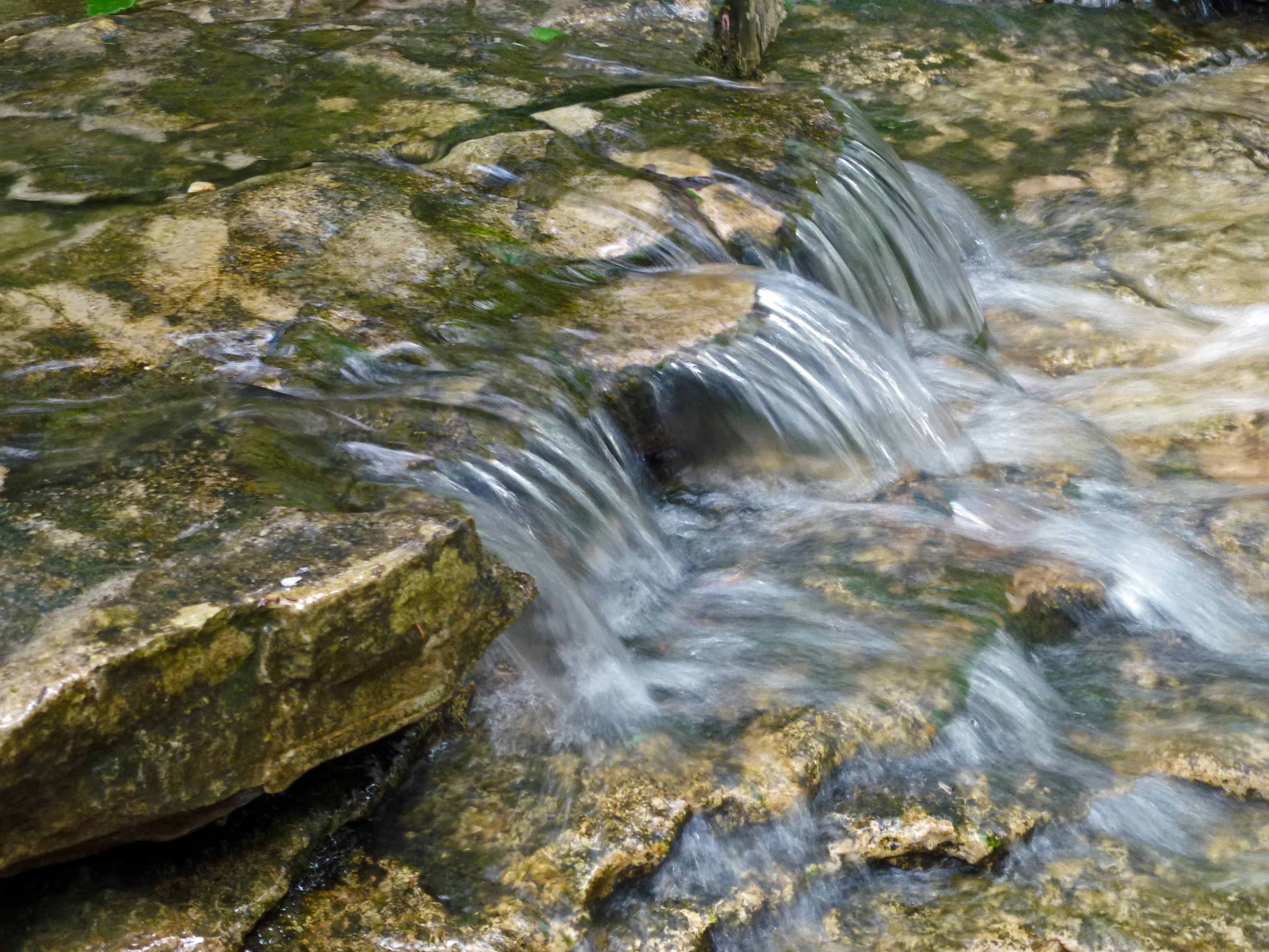
Upstream Falls on Long Creek

The White River
MDC Hercules Glades Wilderness Hike - Bluff on Long Creek
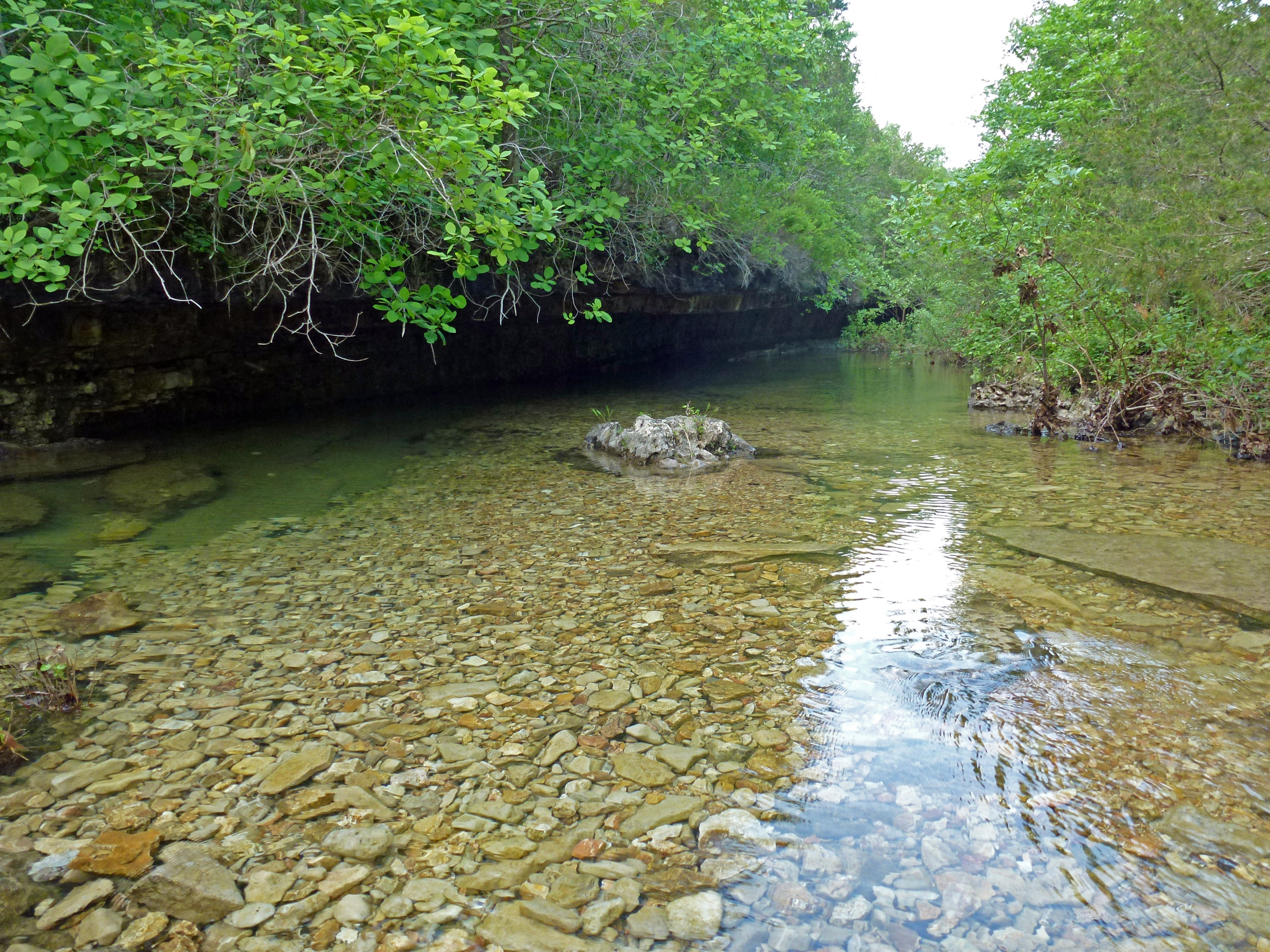
Long Creek Bank
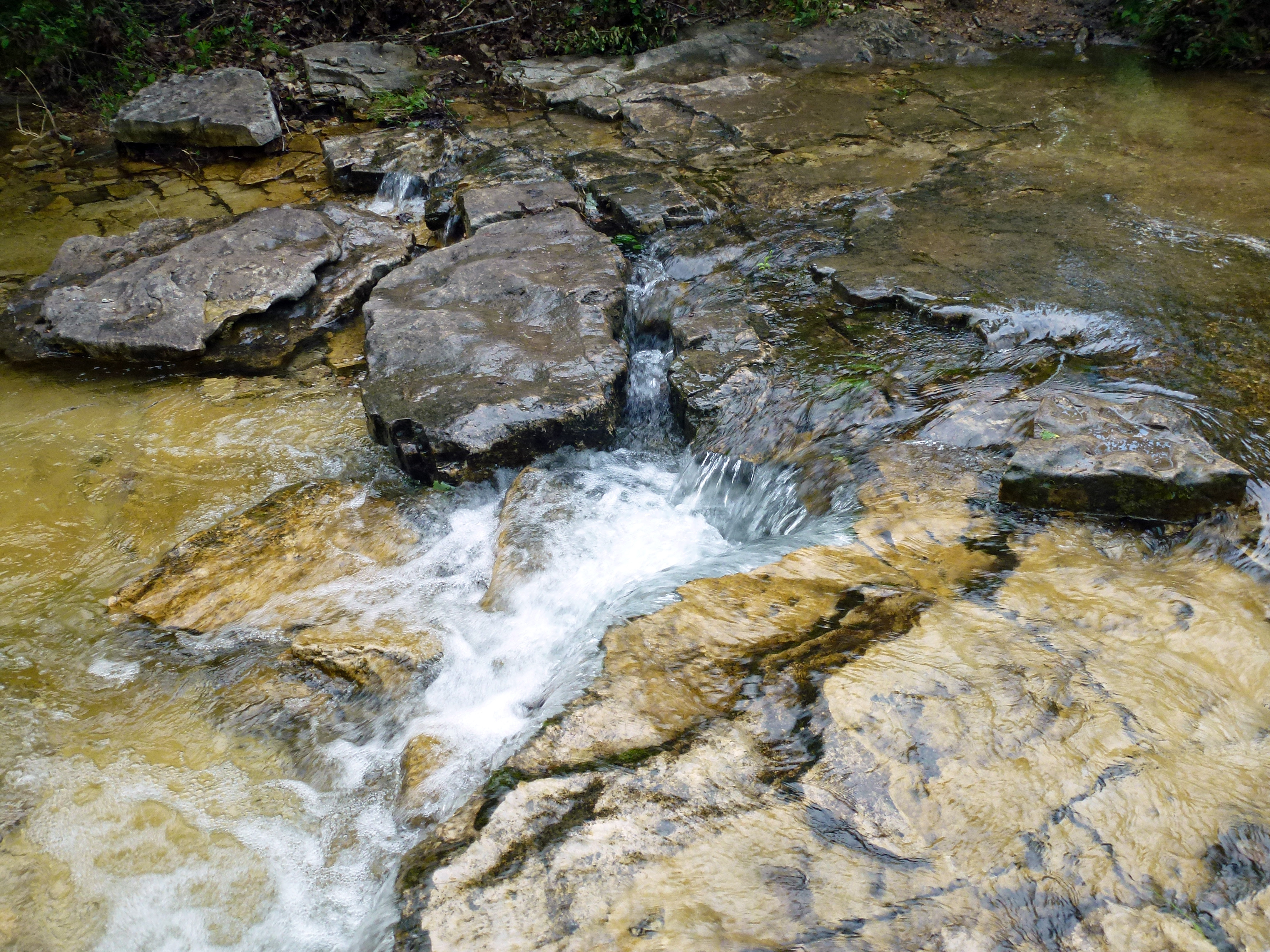
Upstream Fall on Long Creek
Carved Wilderness

Rocky water
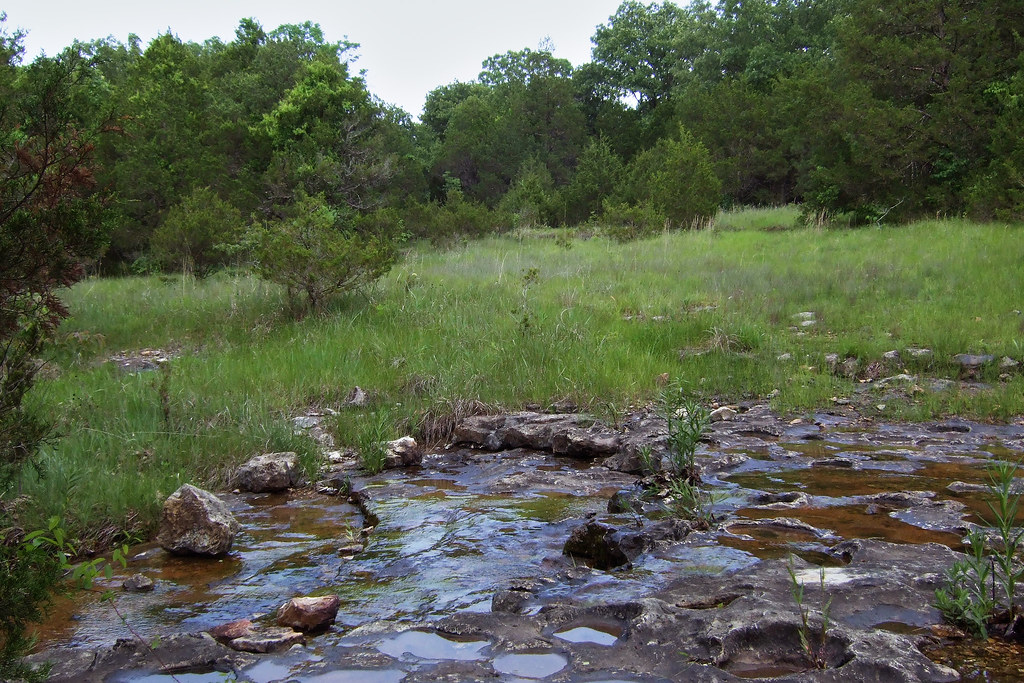
Glade and creek North of Upper Pilot Knob
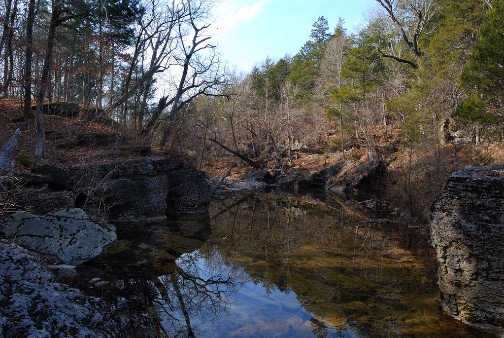
Long Creek Ford
Topographic Map of Taney County, MO, USA
Find elevation by address:

Places in Taney County, MO, USA:
Swan Township
Branson Township
Oliver Township
Jasper Township
Scott Township
Beaver Township
Big Creek Township
Cedar Creek Township
Places near Taney County, MO, USA:
762 Brace Hill Rd
1010 Rd 0-20
Kissee Mills
1708 Frisco Hills Rd
136 Bass St
135 Sturgeon St
216 Lake Point Rd
114 Brittan Ct
Swan Township
MO-76, Protem, MO, USA
720 Yandell Cove Rd
Cedarcreek
139 Skyline Dr
698 Baker St
209 Eric Dr
Forsyth
Rockhill Dr, Forsyth, MO, USA
Lake Taneycomo
2229 Mountain Grove Rd
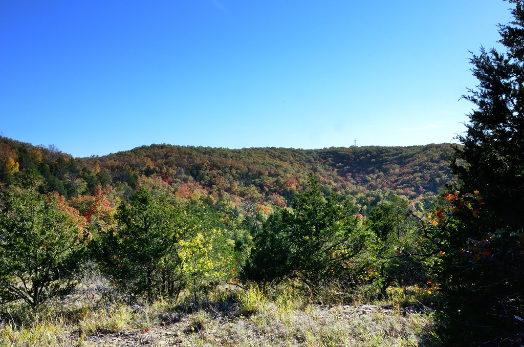
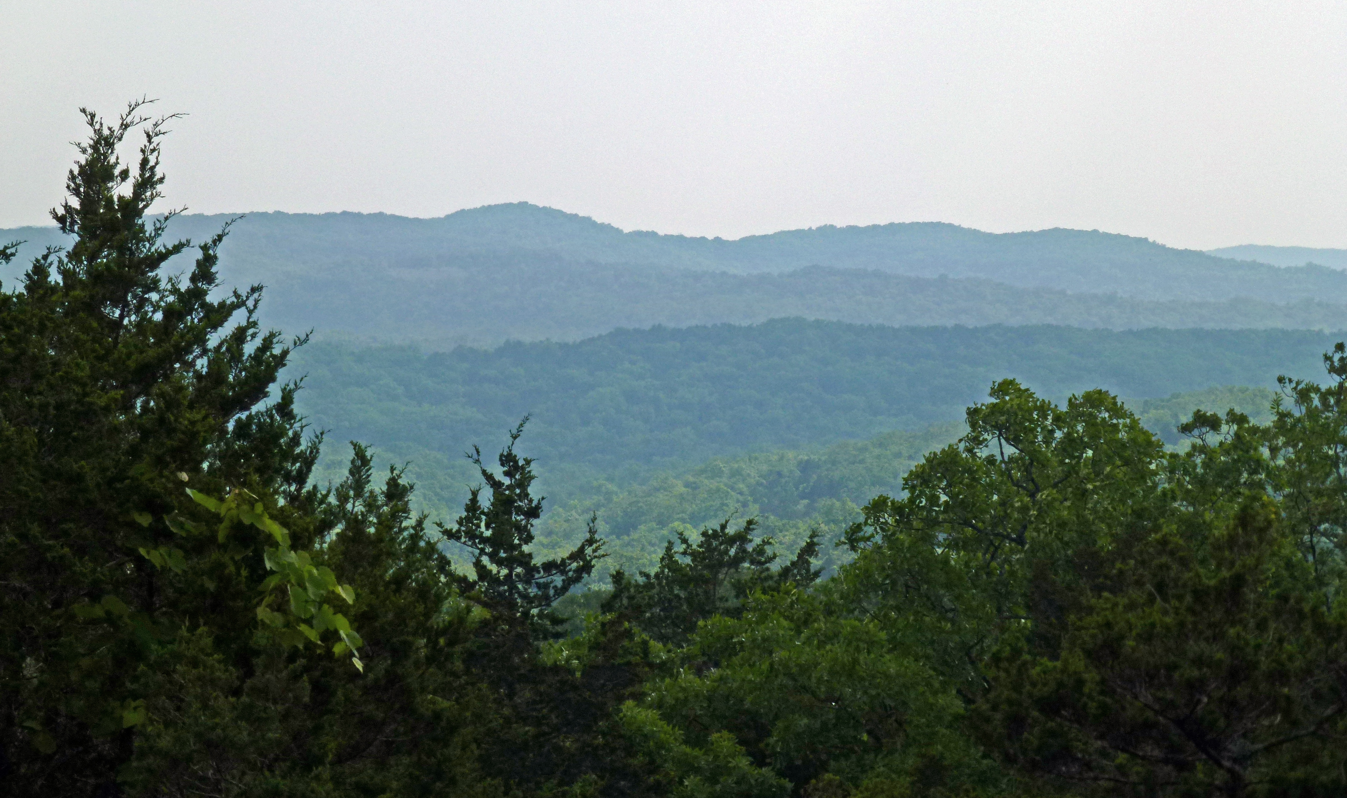
Ozark Mountains
Recent Searches:
- Elevation of Corso Fratelli Cairoli, 35, Macerata MC, Italy
- Elevation of Tallevast Rd, Sarasota, FL, USA
- Elevation of 4th St E, Sonoma, CA, USA
- Elevation of Black Hollow Rd, Pennsdale, PA, USA
- Elevation of Oakland Ave, Williamsport, PA, USA
- Elevation of Pedrógão Grande, Portugal
- Elevation of Klee Dr, Martinsburg, WV, USA
- Elevation of Via Roma, Pieranica CR, Italy
- Elevation of Tavkvetili Mountain, Georgia
- Elevation of Hartfords Bluff Cir, Mt Pleasant, SC, USA