Elevation of Tandur, Telangana, India
Location: India > Telangana > Ranga Reddy >
Longitude: 77.5874633
Latitude: 17.2575756
Elevation: 461m / 1512feet
Barometric Pressure: 96KPa
Elevation Map:
Satellite Map:
Related Photos:
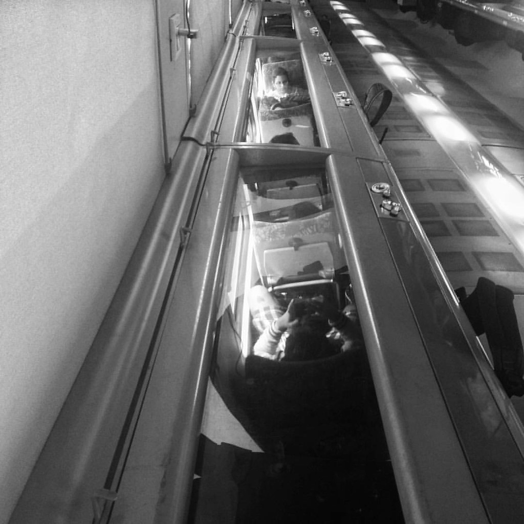
Shatabdi #train #people #reflection #upsidedown #_soi
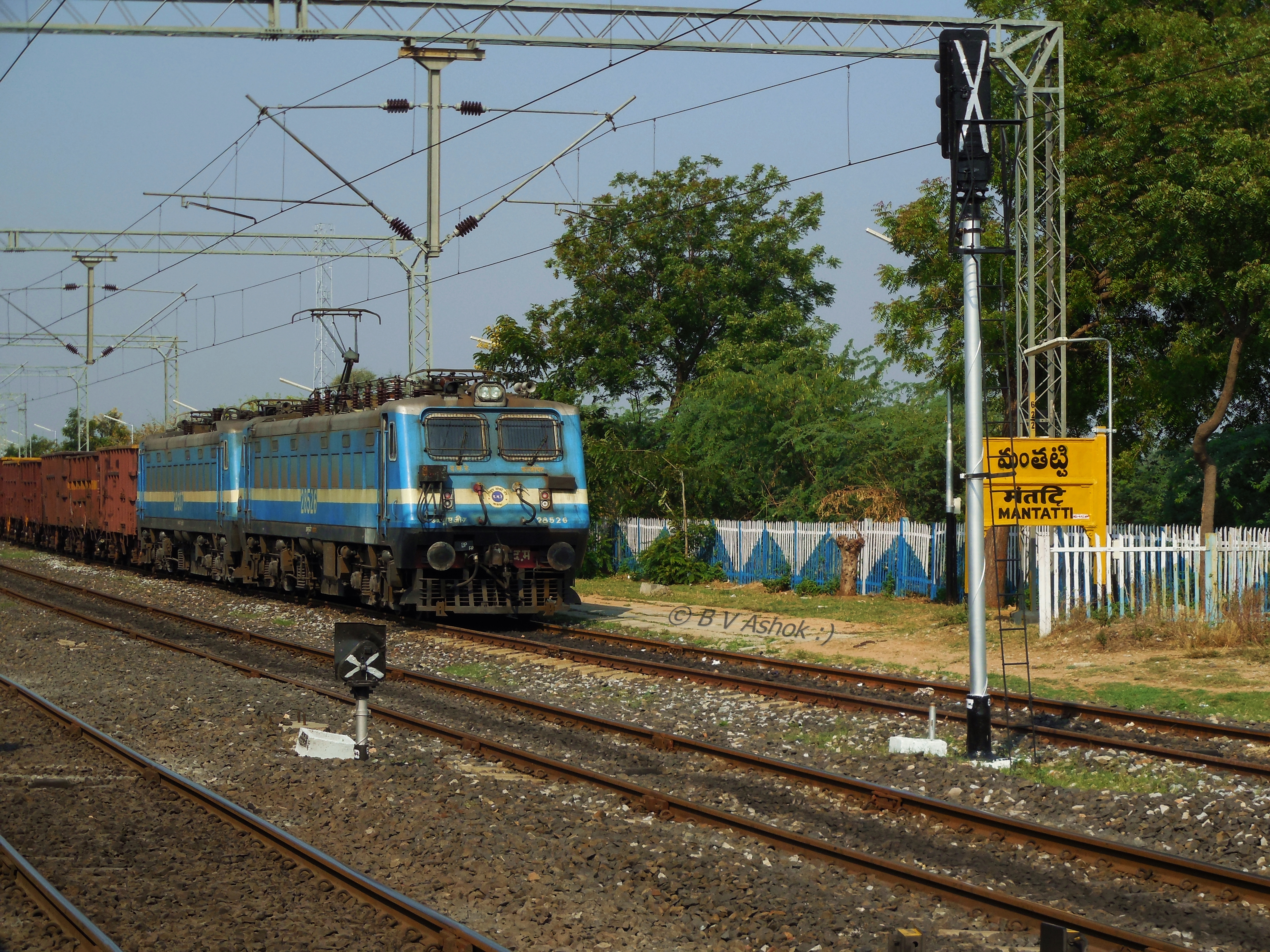
KZJ WAG-7
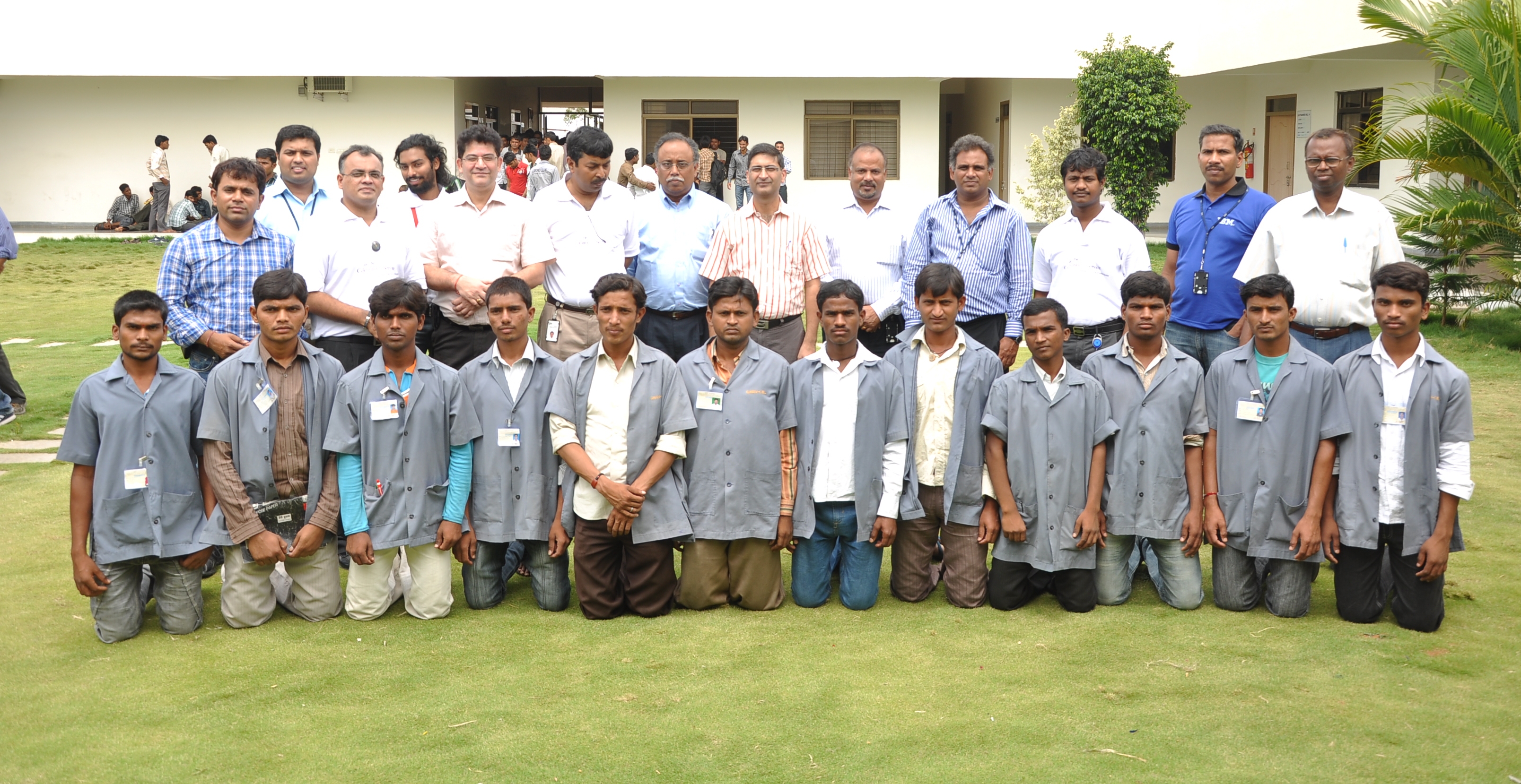
Celebration Of Service Day @ GMR Founcation Shamshabad
Topographic Map of Tandur, Telangana, India
Find elevation by address:

Places in Tandur, Telangana, India:
Places near Tandur, Telangana, India:
Ghanapurward
5-2-42
Devanoor
Ananthagiri Hills
Ananthagiri Hills
Ananthagiri Hills Viewpoint
Anantagiri Hills
Ranga Reddy
Godamguda
Burgupally
Vikarabad
Dhanasiri
Bijinepally Salkarpet
Kankal
Kondurg
Konapur
Ravindra Nagar
4-2-97/1
Sadashivpet
Chevella
Recent Searches:
- Elevation of Corso Fratelli Cairoli, 35, Macerata MC, Italy
- Elevation of Tallevast Rd, Sarasota, FL, USA
- Elevation of 4th St E, Sonoma, CA, USA
- Elevation of Black Hollow Rd, Pennsdale, PA, USA
- Elevation of Oakland Ave, Williamsport, PA, USA
- Elevation of Pedrógão Grande, Portugal
- Elevation of Klee Dr, Martinsburg, WV, USA
- Elevation of Via Roma, Pieranica CR, Italy
- Elevation of Tavkvetili Mountain, Georgia
- Elevation of Hartfords Bluff Cir, Mt Pleasant, SC, USA