Elevation map of Tana Toraja Regency, South Sulawesi, Indonesia
Location: Indonesia > South Sulawesi >
Longitude: 119.742604
Latitude: -3.0753003
Elevation: 1071m / 3514feet
Barometric Pressure: 89KPa
Elevation Map:
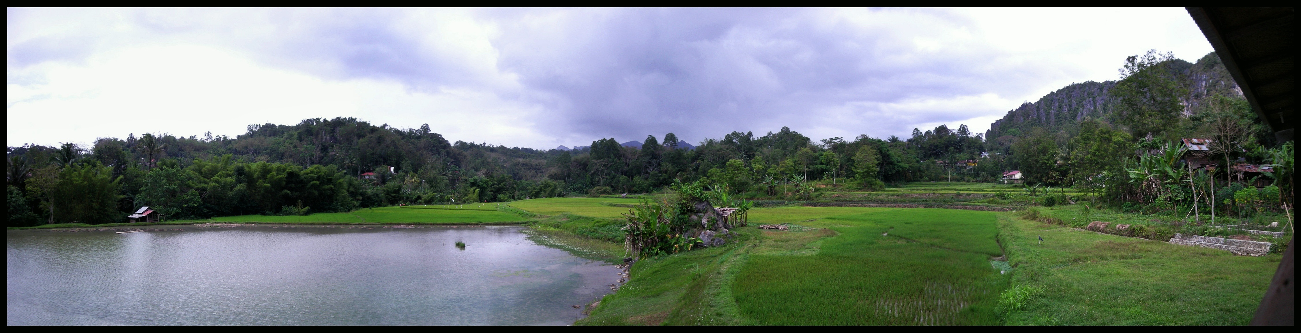
Satellite Map:
Related Photos:
DSCF4662
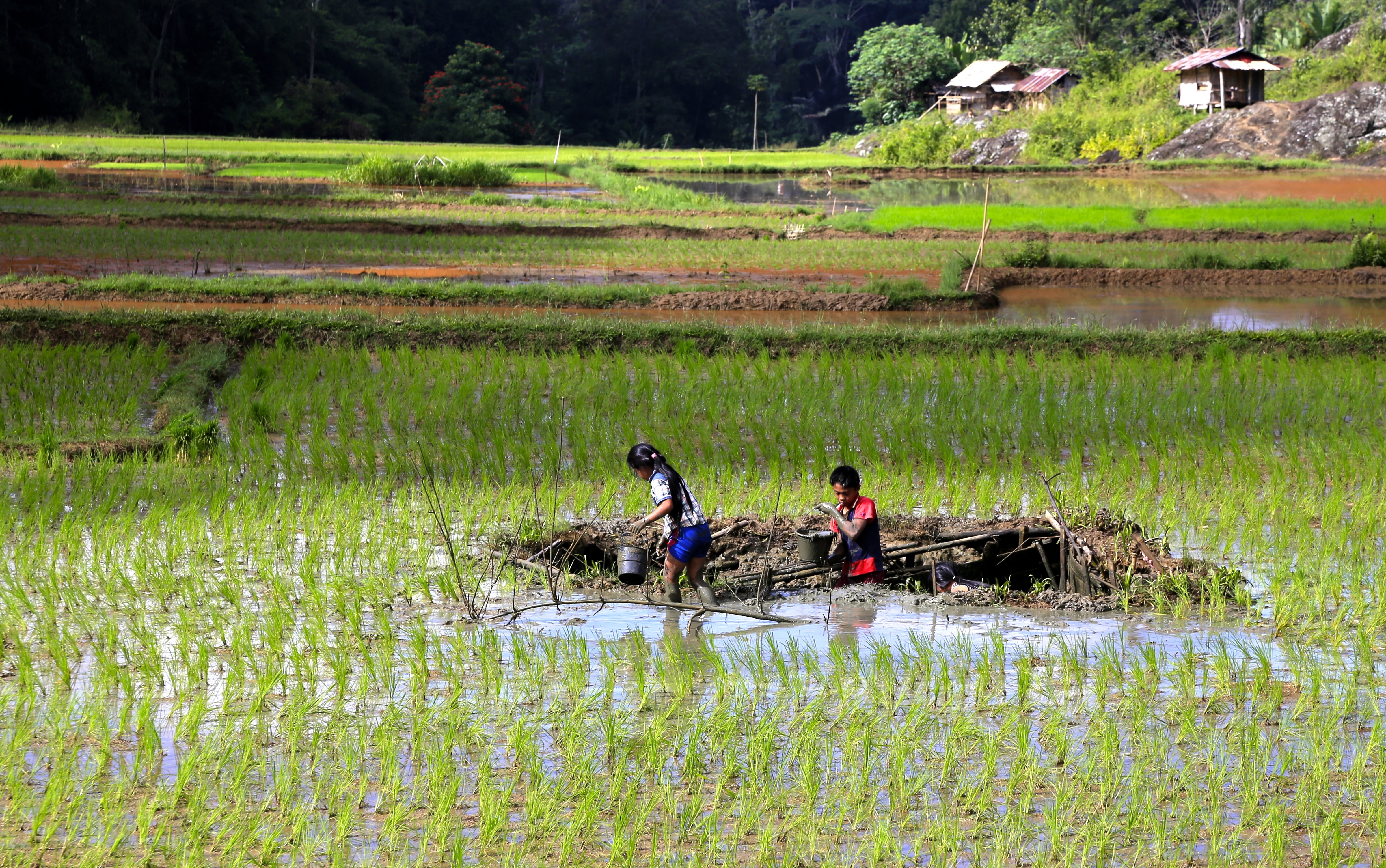
Children Rice

Indonesia (Sulawesi)
rizière
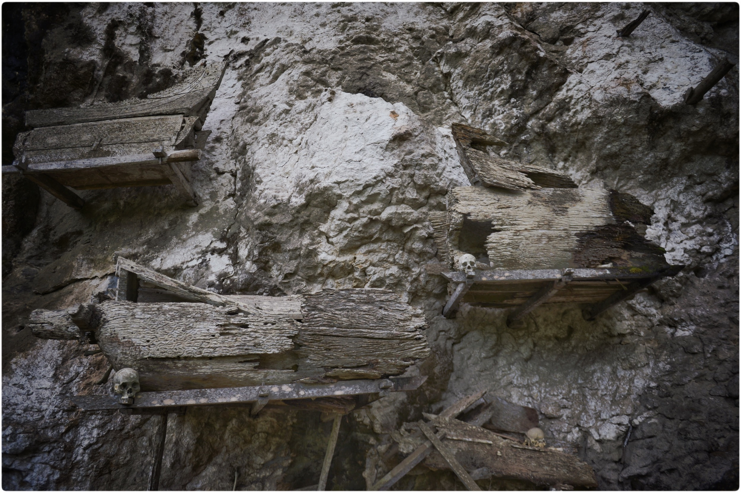
Cemetery at Ke' Te' Kesu', Toraja Utara
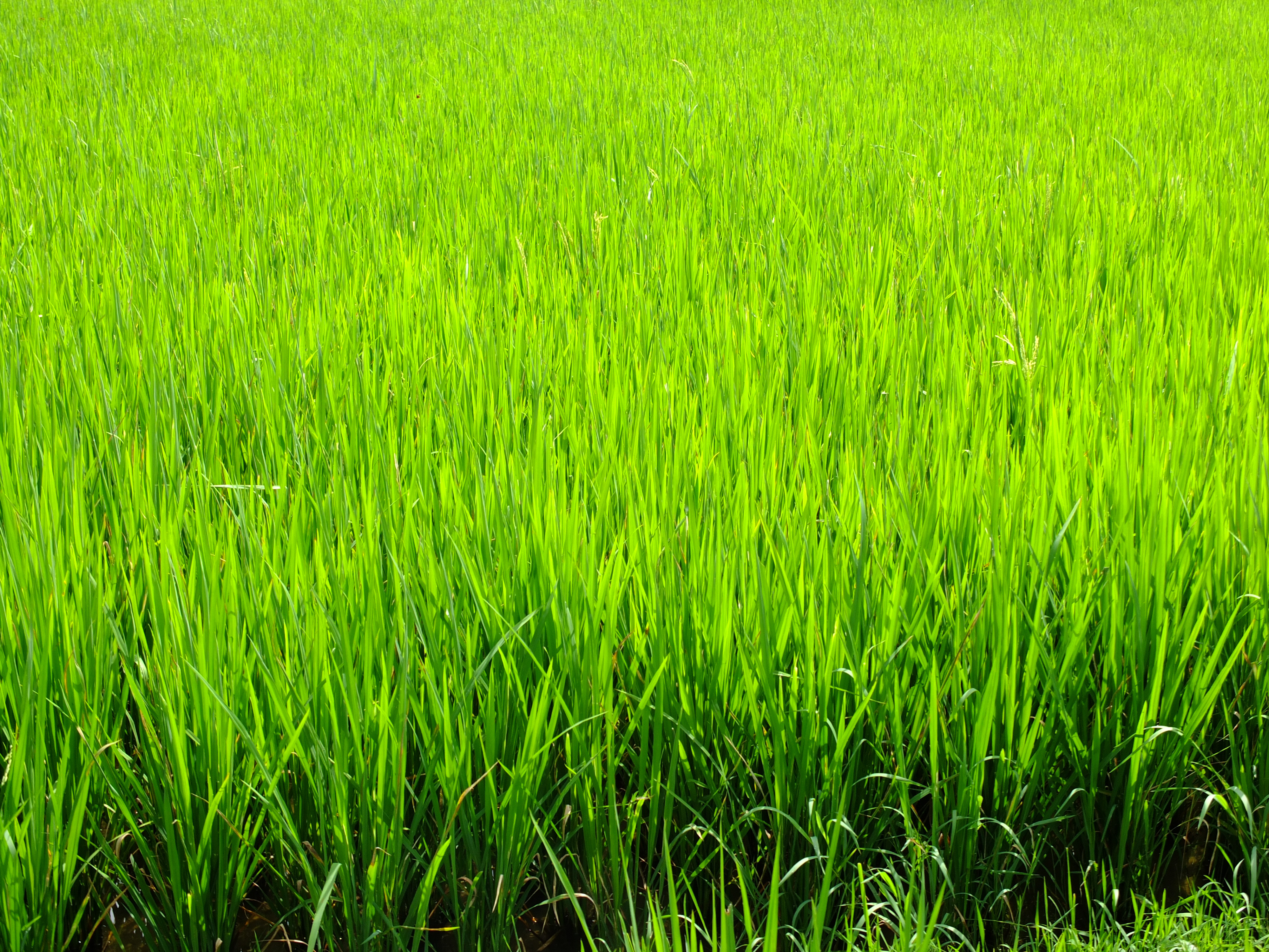
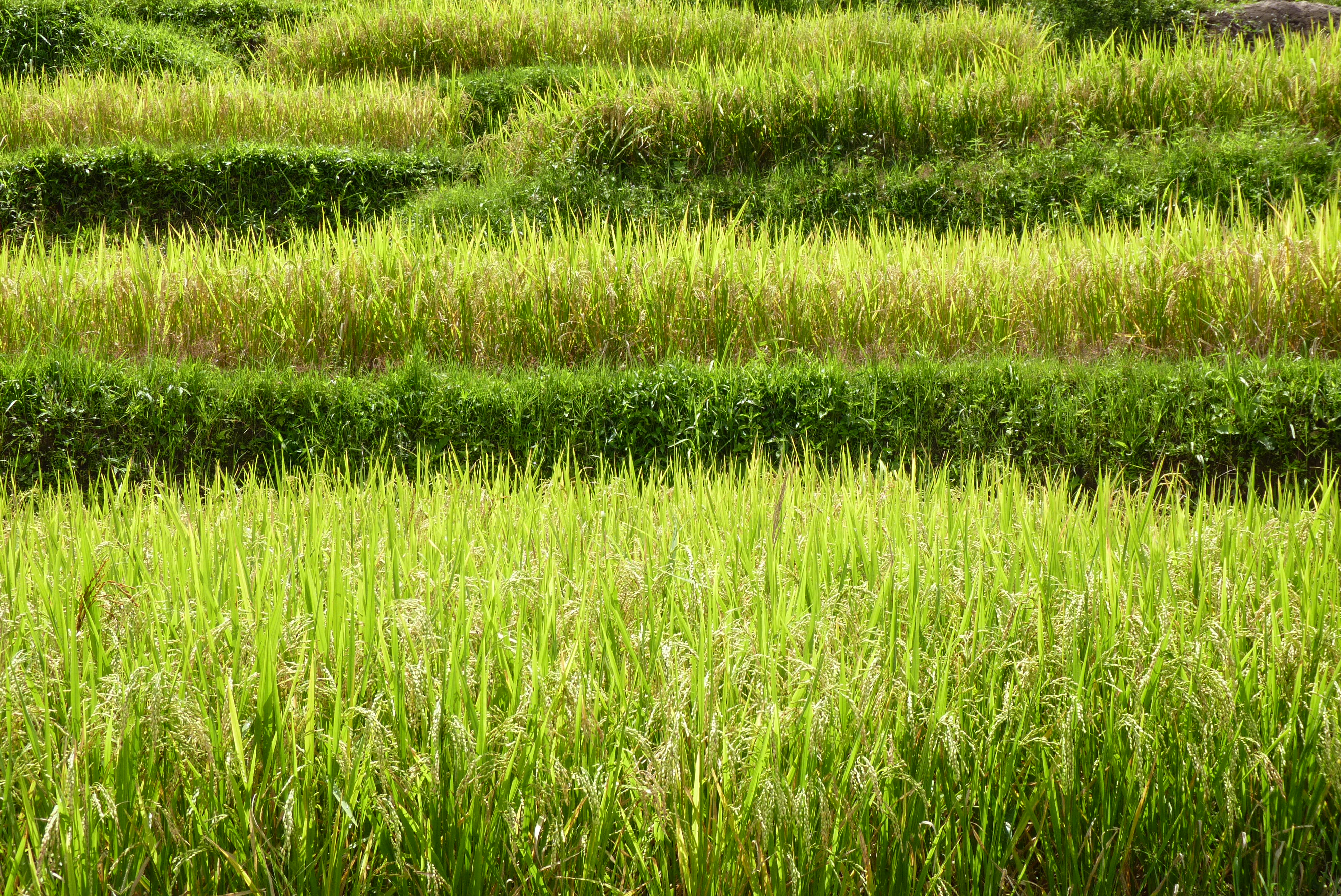
Green green rice
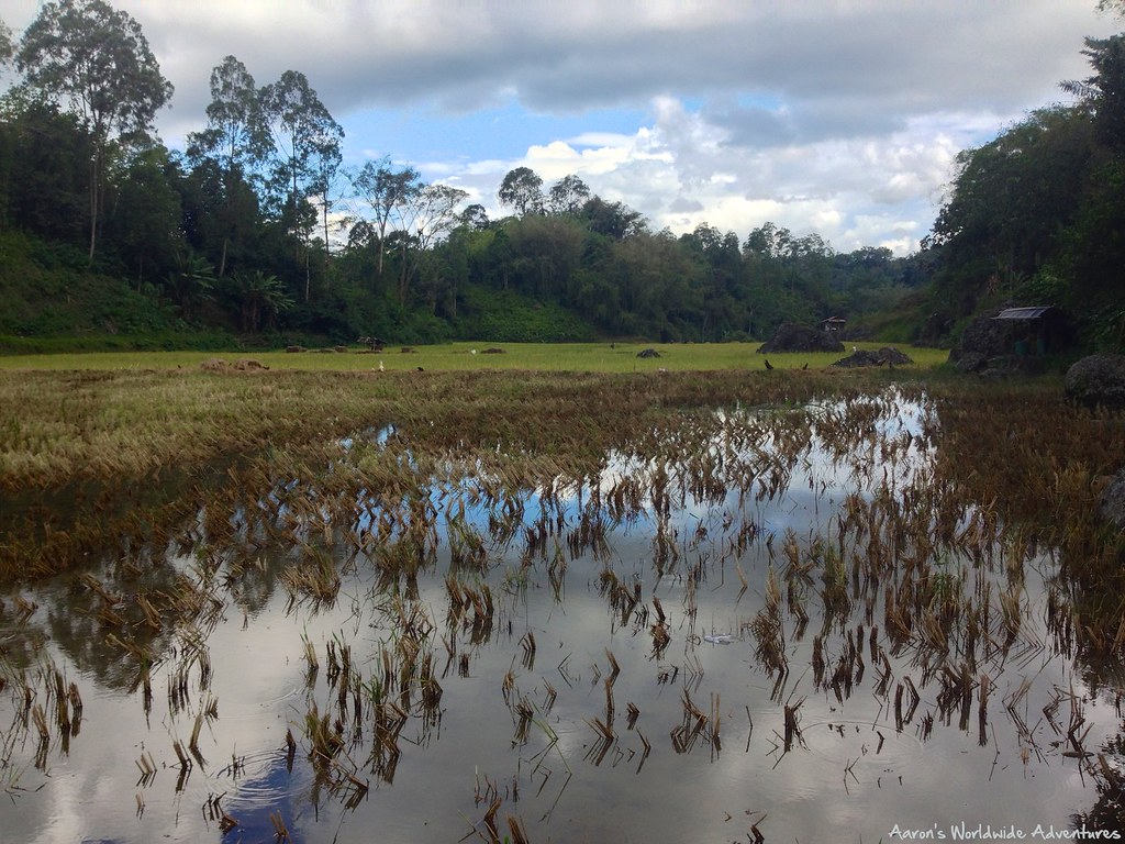
Rice Fields

Berge und Reis
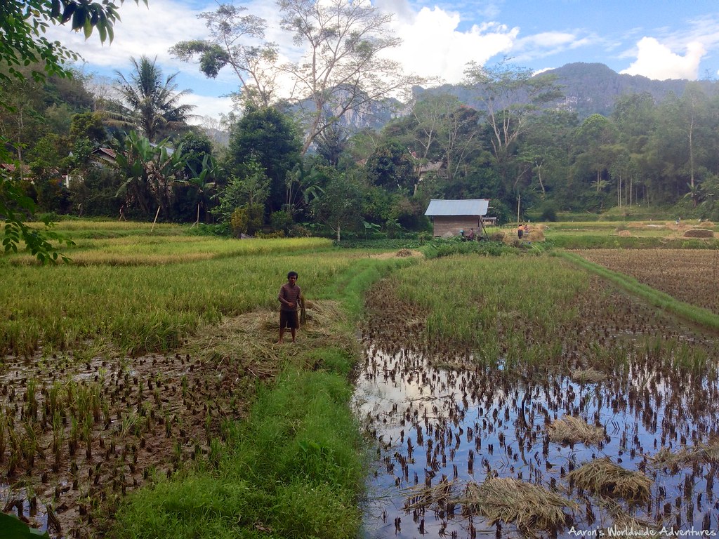
Rice Field

Überall Reis

2011-08-16_-15.jpg

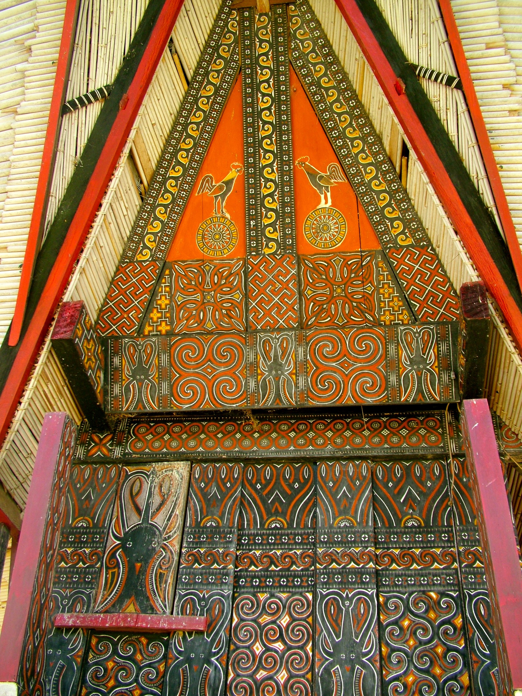
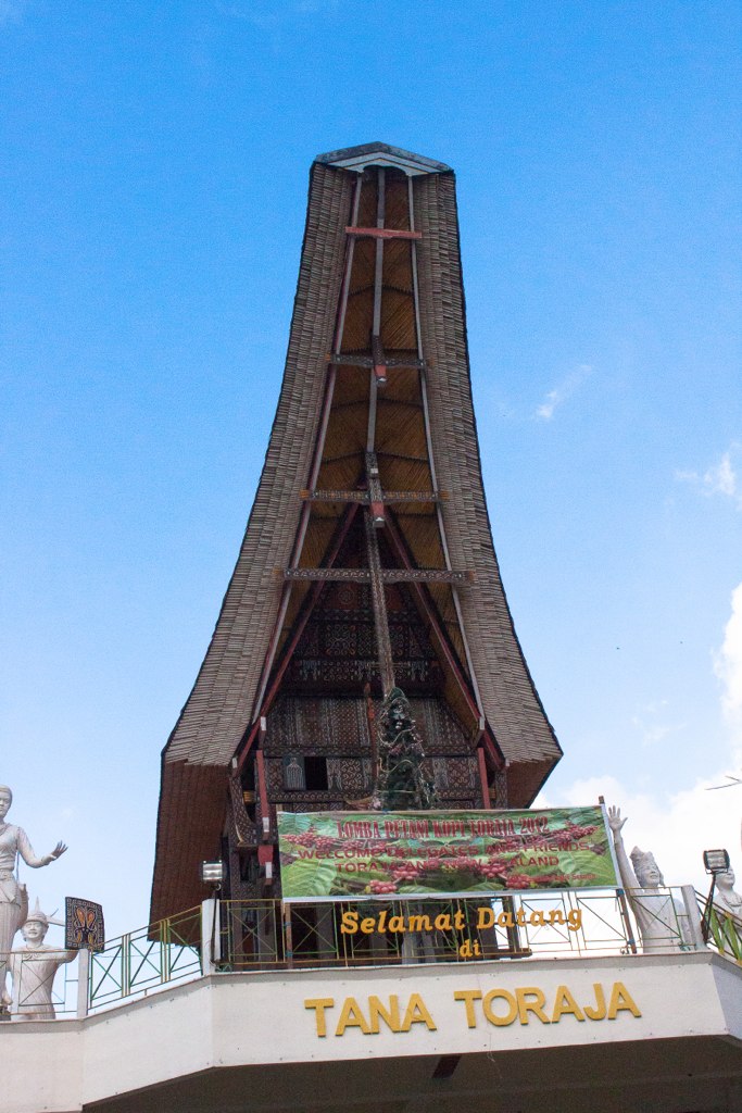
Tana Toraja
Landscape on the road to Torajanese Land - 15

Grab mit Aussicht

2011-08-16_-5.jpg

Da geht's lang

2011-08-16_-17.jpg
Sulawesi - Tana Toraja

Sulawesi - Tana Toraja

2011-08-16_-49.jpg

Sulawesi - Tana Toraja

Sulawesi - Tana Toraja
Topographic Map of Tana Toraja Regency, South Sulawesi, Indonesia
Find elevation by address:

Places in Tana Toraja Regency, South Sulawesi, Indonesia:
Places near Tana Toraja Regency, South Sulawesi, Indonesia:
Sandabilik
Buntu Kepe
South Makale
Londa Ancient Graveyard
Tallulolo
Lolai - To' Tombi, Negeri Di Atas Awan
Toraja Misiliana Hotel
Rantepao
Lolai Tongkonan Lempe
Kesu
Singki'
Indra Toraja Hotel
Perwakilan Bus Batutumonga
Sesean Mountain Lodge
Lempo
North Toraja Regency
Sesean
Objek Wisata Kalimbuang Bori
Objek Wisata Palawa'
Jalan Palawa
Recent Searches:
- Elevation of Corso Fratelli Cairoli, 35, Macerata MC, Italy
- Elevation of Tallevast Rd, Sarasota, FL, USA
- Elevation of 4th St E, Sonoma, CA, USA
- Elevation of Black Hollow Rd, Pennsdale, PA, USA
- Elevation of Oakland Ave, Williamsport, PA, USA
- Elevation of Pedrógão Grande, Portugal
- Elevation of Klee Dr, Martinsburg, WV, USA
- Elevation of Via Roma, Pieranica CR, Italy
- Elevation of Tavkvetili Mountain, Georgia
- Elevation of Hartfords Bluff Cir, Mt Pleasant, SC, USA