Elevation of Tamugan Bridge, Davao - Buda National Hwy, Tugbok, Davao City, Davao del Sur, Philippines
Location: Philippines > Davao Region > Arakan > Marilog District > Marilog Proper >
Longitude: 125.271521
Latitude: 7.3868034
Elevation: 827m / 2713feet
Barometric Pressure: 92KPa
Elevation Map:
Satellite Map:
Related Photos:
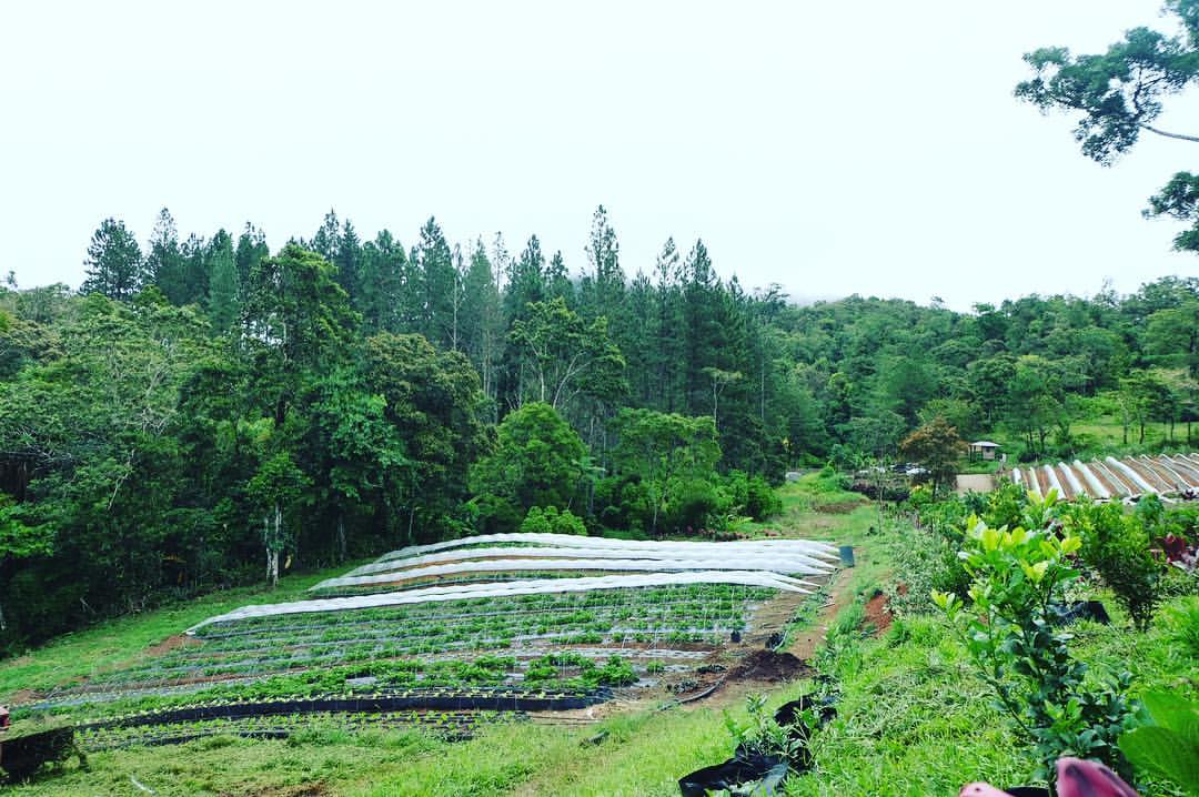
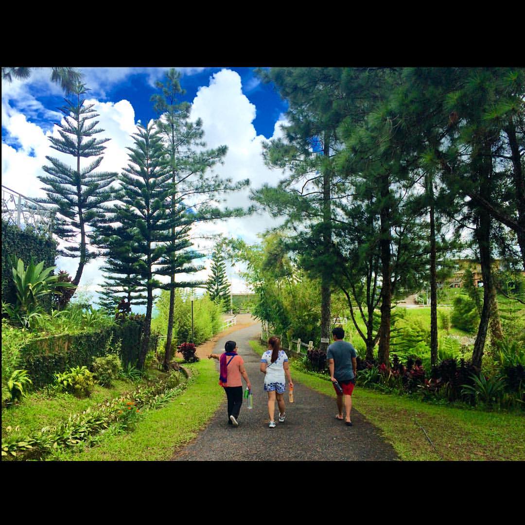
Always do your best. Whatever you plant now, you will harvest later. ???? #inspiration #travel #philippines #roadtrip #farmlife #view
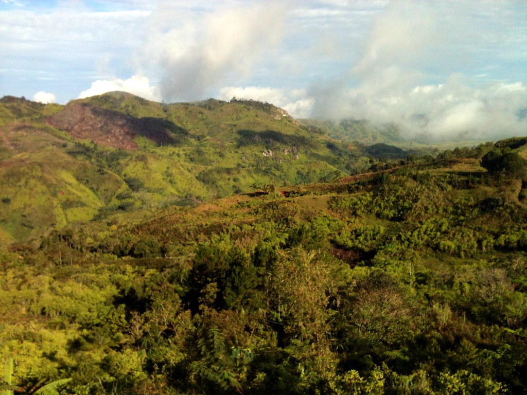
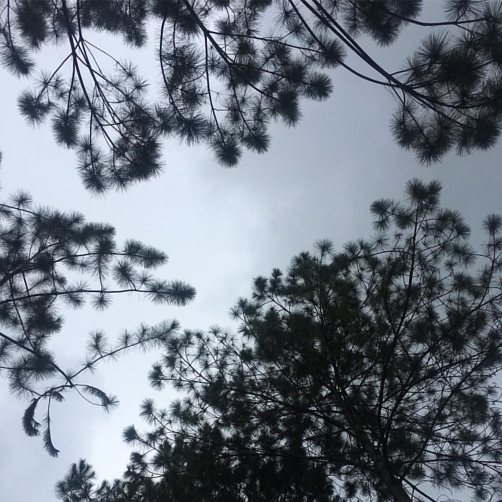
Somewhere in the Davao mountains
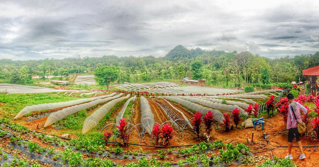
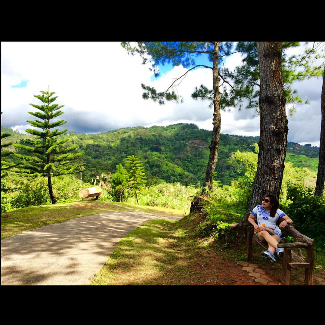
Beautifully constructed landscape. From beautiful creative minds in the land of promise. #farm #earth #nature #stories #strawberry #panorama

2017-07-14_08-37-15

Rural Tours 2827

Rural Tours 2832 Hino RK

Rural Tours 2832 Hino RK

Rural Tours 2817

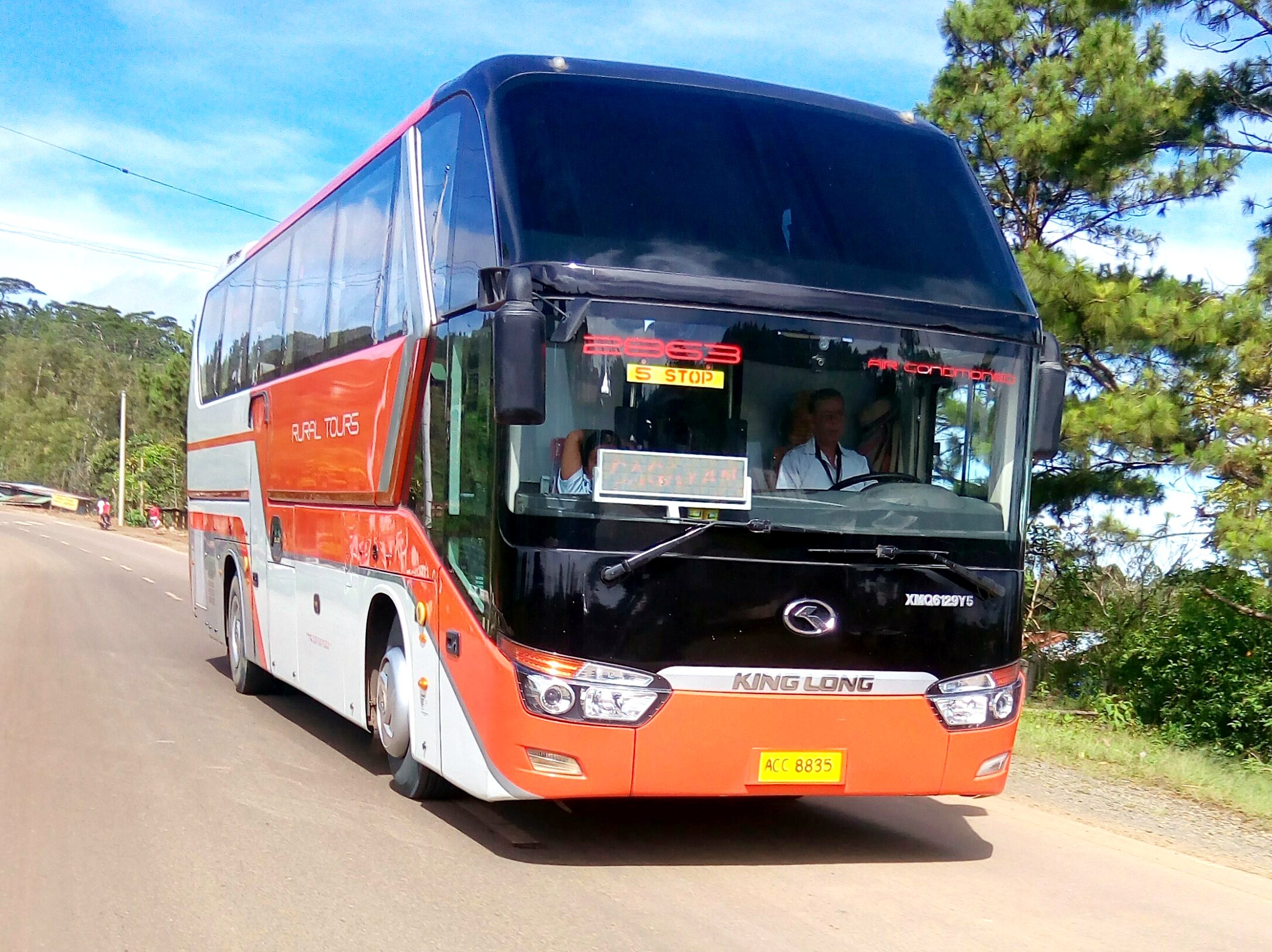
RTMI 2863
Rural Tours

RTMI 2879

Sikwati+Suman #vsco #vscocam #vscogrid #vscographer #foodporn #foodtography #instafood

#LAP #camerastoday #vscocam #vsco #vscogrid #vscographer #canon #canonph #5dmarkiii
????
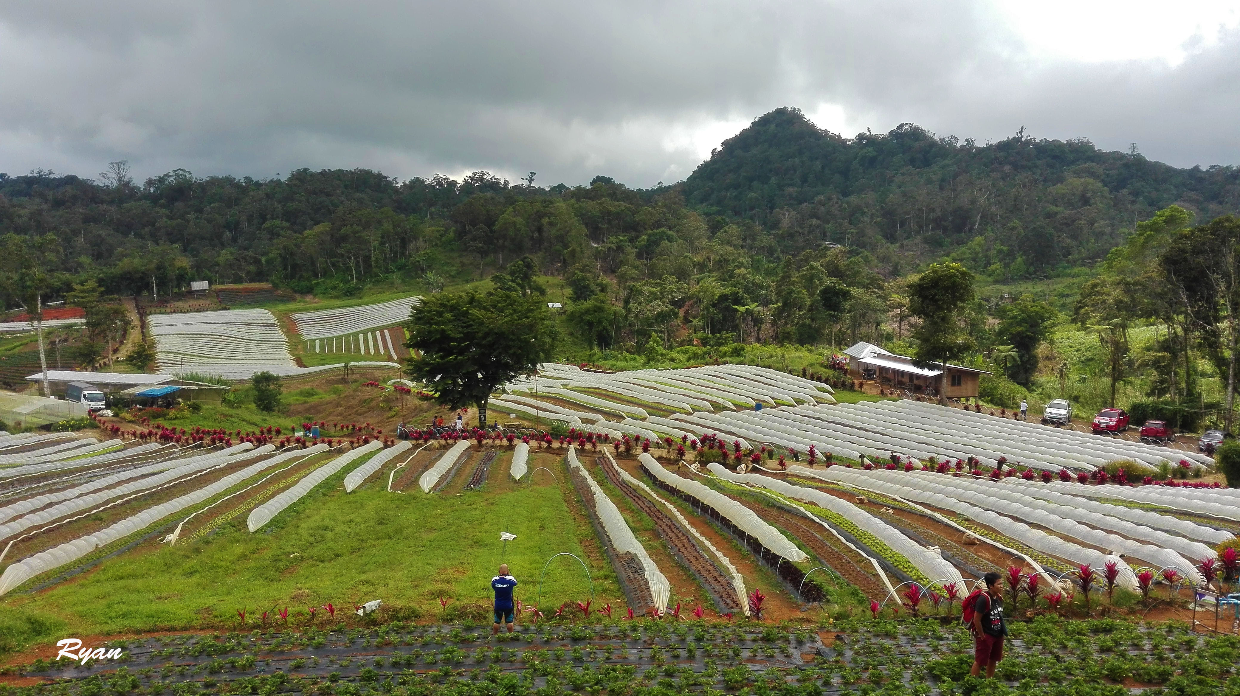
Strawberry Farm

The King

CF International
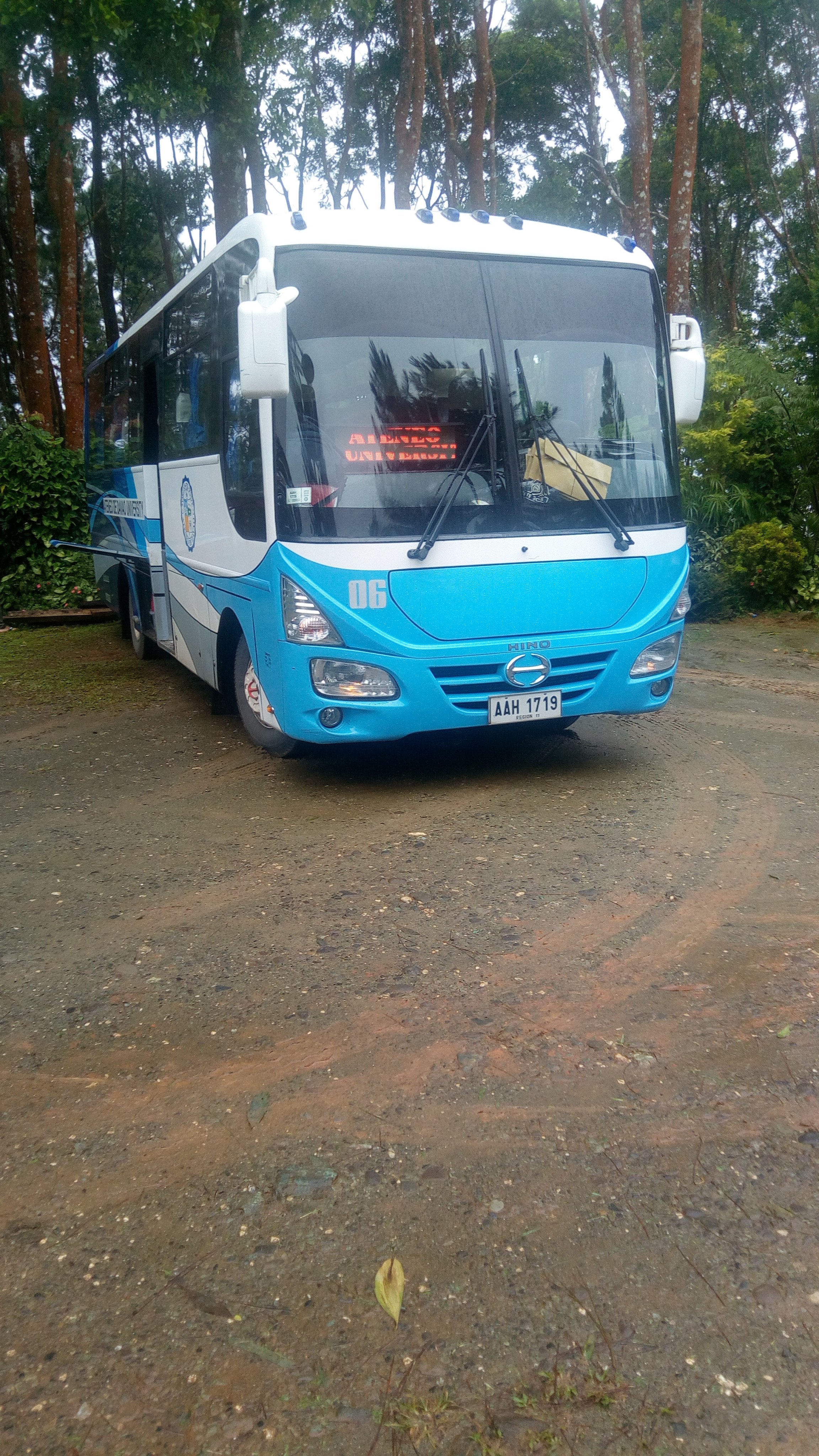
ADDU Bus

ADDU Bus
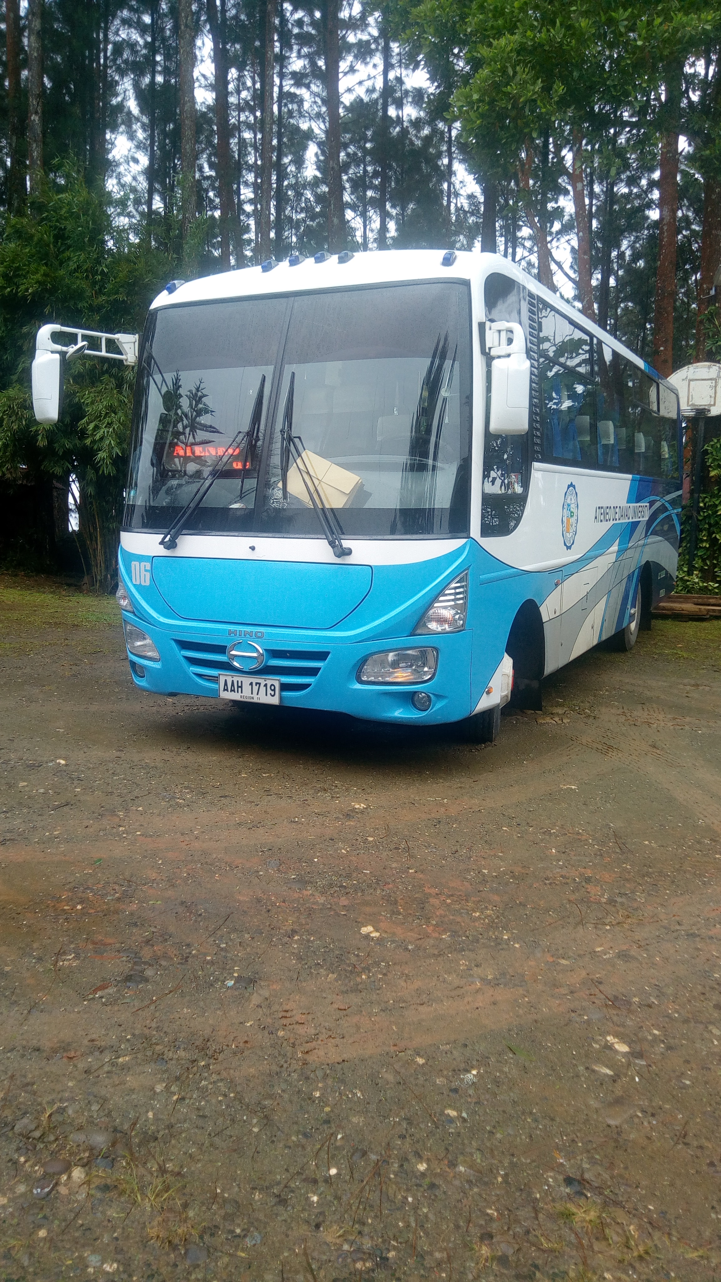
ADDU Bus
#nature #arakan #theroadlesstravelled
#naturetripping #itsmorefuninthephilippines #mabel #missingeachothersomuch #sohappytoseeyou
Topographic Map of Tamugan Bridge, Davao - Buda National Hwy, Tugbok, Davao City, Davao del Sur, Philippines
Find elevation by address:

Places near Tamugan Bridge, Davao - Buda National Hwy, Tugbok, Davao City, Davao del Sur, Philippines:
Pamuhatan Primary School
Marilog
Marahan National High School
Marilog Police Station
Marahan Covered Court
Ladian Elementary School
Marilog Proper
Katipunan High School
Datu Ladayon
Baganihan
Lola Mommy's Rainforest
Gumitan
Jive Highland Resort
Baganihan Elementary School
Hills View
Diamond Glamping
Bemwa Farm
Baganihan Agri-ventures Cooperative
Seagull Mountain Resort
Seagull Mountain Resort
Recent Searches:
- Elevation of Corso Fratelli Cairoli, 35, Macerata MC, Italy
- Elevation of Tallevast Rd, Sarasota, FL, USA
- Elevation of 4th St E, Sonoma, CA, USA
- Elevation of Black Hollow Rd, Pennsdale, PA, USA
- Elevation of Oakland Ave, Williamsport, PA, USA
- Elevation of Pedrógão Grande, Portugal
- Elevation of Klee Dr, Martinsburg, WV, USA
- Elevation of Via Roma, Pieranica CR, Italy
- Elevation of Tavkvetili Mountain, Georgia
- Elevation of Hartfords Bluff Cir, Mt Pleasant, SC, USA