Elevation of Tambac, Romblon, Philippines
Location: Philippines > Mimaropa > Romblon > Romblon >
Longitude: 122.293742
Latitude: 12.5336654
Elevation: 130m / 427feet
Barometric Pressure: 100KPa
Elevation Map:
Satellite Map:
Related Photos:
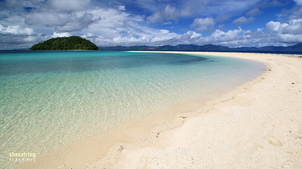
Beach Curves

Boats at Alad
Margie's Beach
Margie's Beach
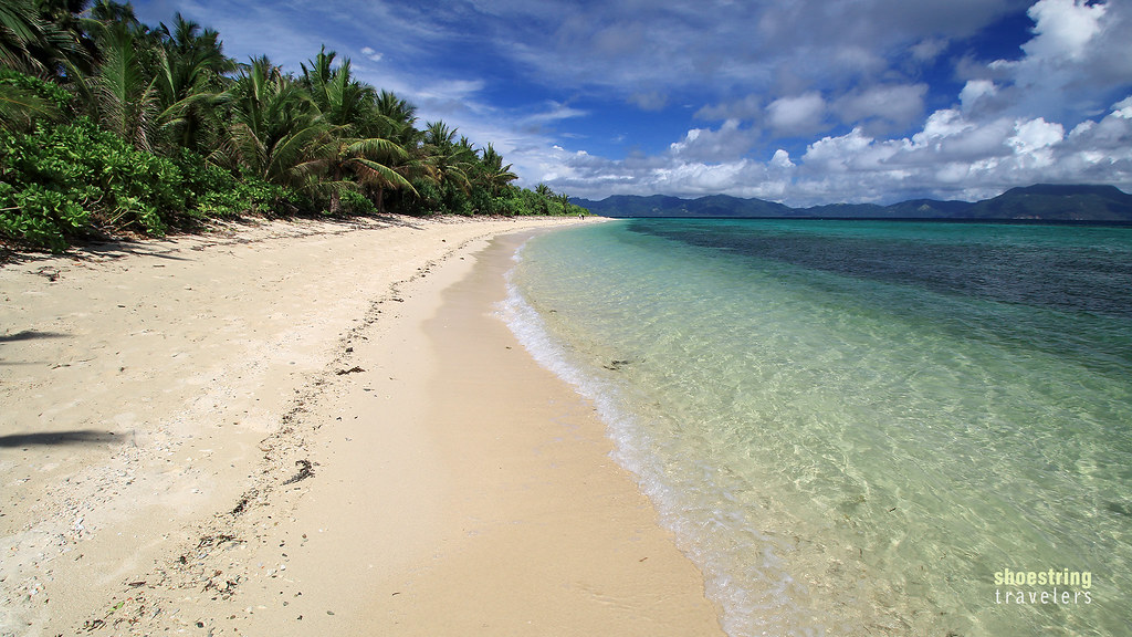
Romblon's Tiamban Beach
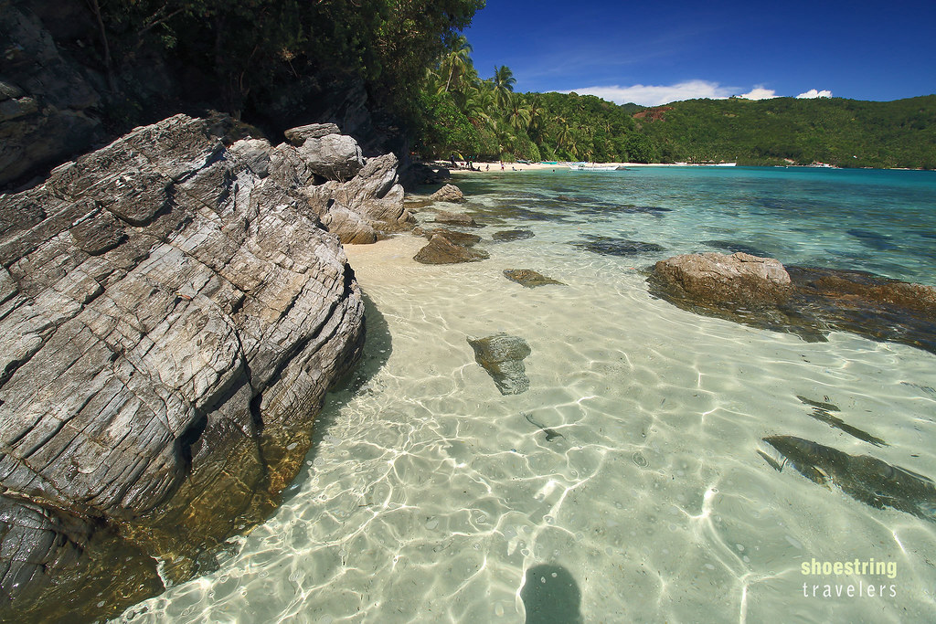
Margie's Beach

Margie's Beach

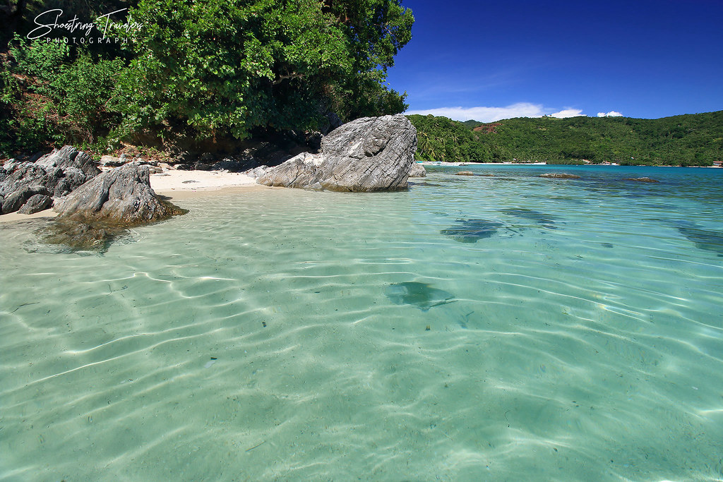
Washed Ashore
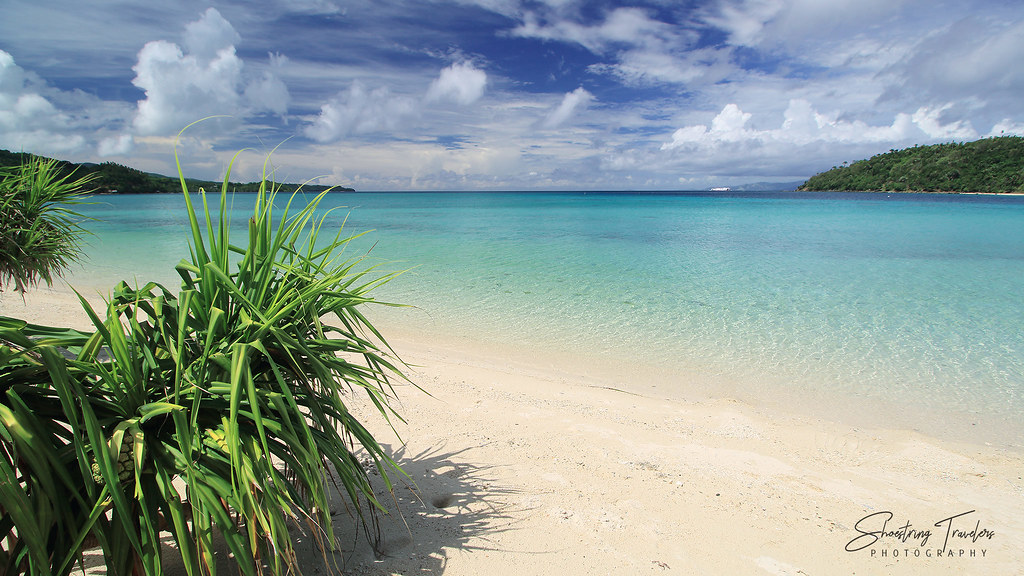
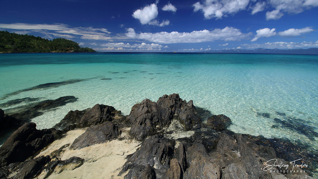
Chasing Paradise
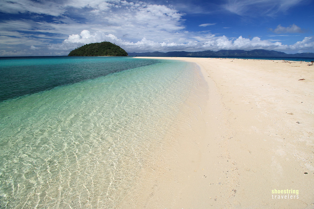
Not Ready for Summer to End
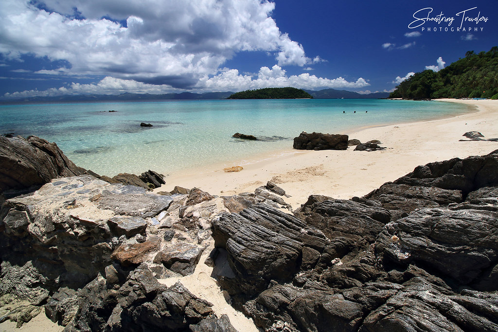
Time Lingers

One of These Days...
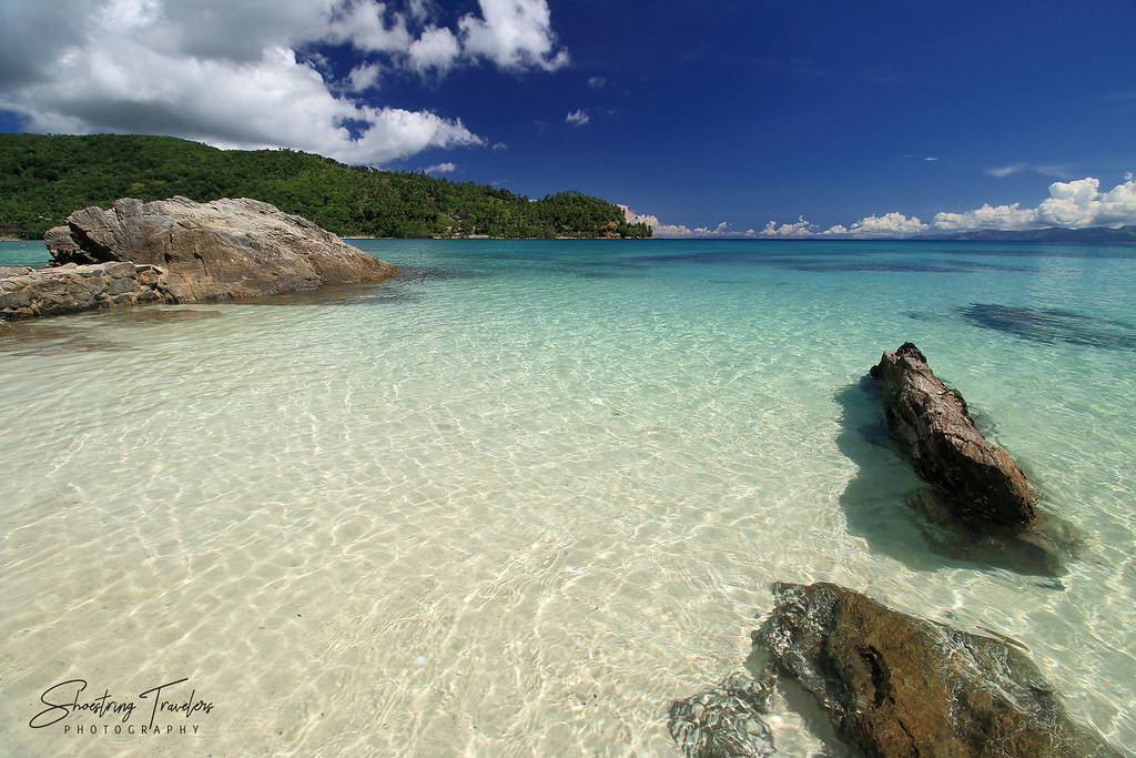
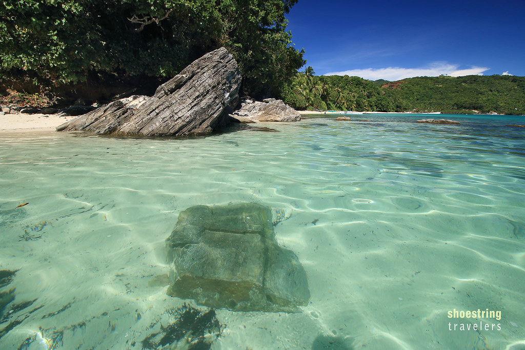
Shallow Water
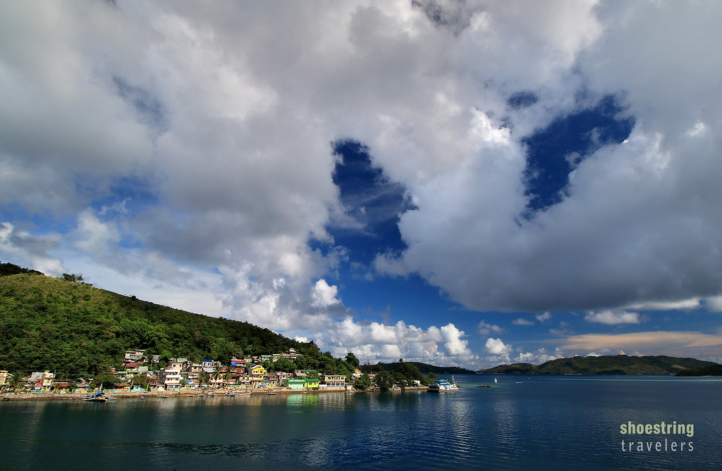
Clouds Over Bonbon
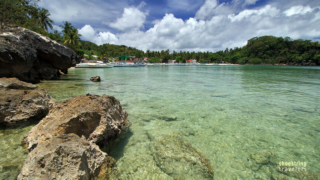
Afternoon on Alad Island
Bonbon Beach North

The Island Life

Tiamban Beach High Noon
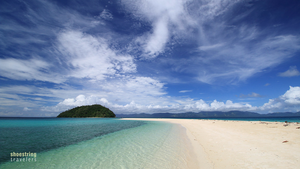
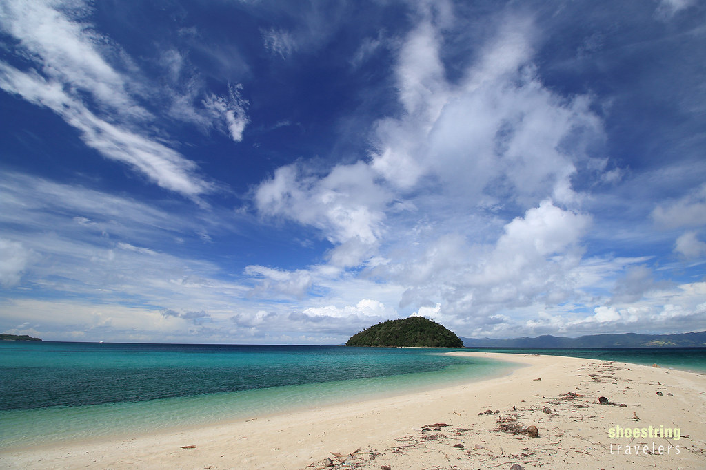
Bonbon's Sandbar
Places I Go

Clouds Over Bonbon
Topographic Map of Tambac, Romblon, Philippines
Find elevation by address:

Places near Tambac, Romblon, Philippines:
Bagacay
Barangay-2 (poblacion)
Romblon
Romblon
Romblon Port Road
Odiongan
Dapawan
Bongoy River
Ferrol
Boracay
Boracay Hills
Malay
Caticlan
Aklan
Roxas
Cebuana Lhuillier Pawnshop - Ibajay
Ibajay
Sta. Cruz Family Retreat
San Aquilino
Cubay
Recent Searches:
- Elevation of Corso Fratelli Cairoli, 35, Macerata MC, Italy
- Elevation of Tallevast Rd, Sarasota, FL, USA
- Elevation of 4th St E, Sonoma, CA, USA
- Elevation of Black Hollow Rd, Pennsdale, PA, USA
- Elevation of Oakland Ave, Williamsport, PA, USA
- Elevation of Pedrógão Grande, Portugal
- Elevation of Klee Dr, Martinsburg, WV, USA
- Elevation of Via Roma, Pieranica CR, Italy
- Elevation of Tavkvetili Mountain, Georgia
- Elevation of Hartfords Bluff Cir, Mt Pleasant, SC, USA