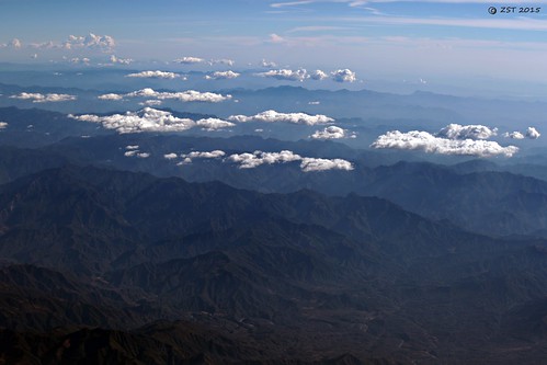
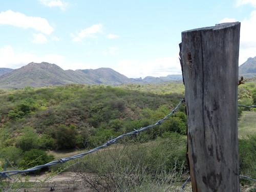
Elevation of Tamazula de Victoria, Durango, Mexico
Location: Mexico > Durango >
Longitude: -106.96779
Latitude: 24.9683887
Elevation: 259m / 850feet
Barometric Pressure: 98KPa
Related Photos:
Topographic Map of Tamazula de Victoria, Durango, Mexico
Find elevation by address:

Places near Tamazula de Victoria, Durango, Mexico:
Alturas Del Sur
Tepuche
Monte Uturunco
Culiacán
Culiacán
Goldenstar De México Sa De Cv
Ejido El Quince
Sinaloa
Miguel Valdez Quintero
Capirato
Sn-s
Pericos
Pericos
Elota
Recent Searches:
- Elevation of Corso Fratelli Cairoli, 35, Macerata MC, Italy
- Elevation of Tallevast Rd, Sarasota, FL, USA
- Elevation of 4th St E, Sonoma, CA, USA
- Elevation of Black Hollow Rd, Pennsdale, PA, USA
- Elevation of Oakland Ave, Williamsport, PA, USA
- Elevation of Pedrógão Grande, Portugal
- Elevation of Klee Dr, Martinsburg, WV, USA
- Elevation of Via Roma, Pieranica CR, Italy
- Elevation of Tavkvetili Mountain, Georgia
- Elevation of Hartfords Bluff Cir, Mt Pleasant, SC, USA


