Elevation of Tamara, Honduras
Location: Honduras > Francisco Morazan >
Longitude: -87.331426
Latitude: 14.1899344
Elevation: 1038m / 3406feet
Barometric Pressure: 89KPa
Elevation Map:
Satellite Map:
Related Photos:
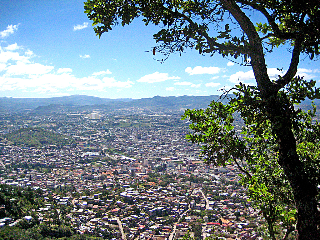
Tegusigalpa, Honduras

Hermoso el Lago de Yojoa, Honduras
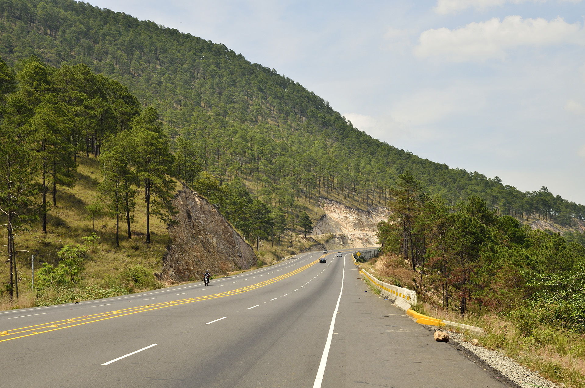
Paesaggio verso Comayagua
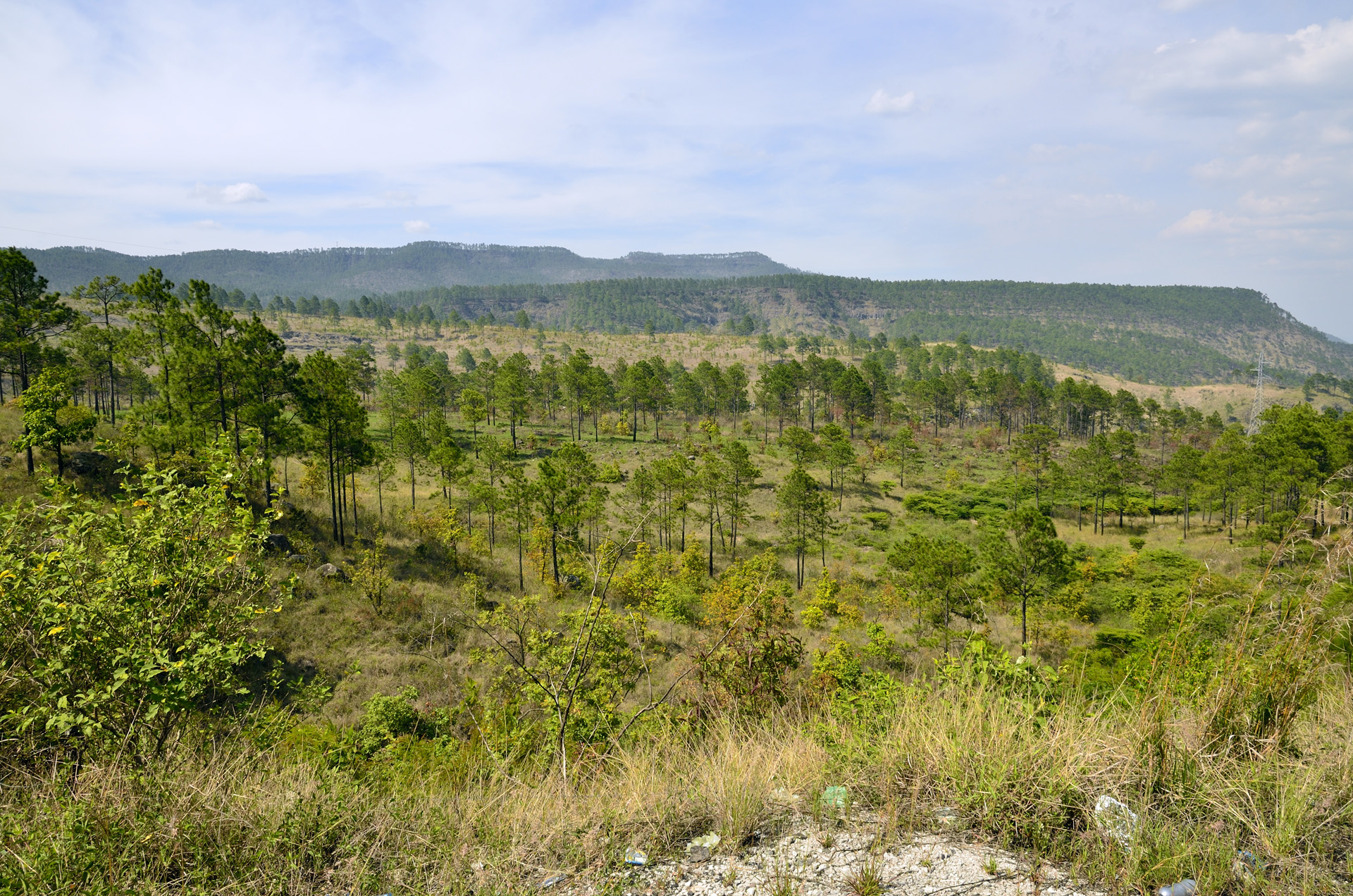
Le colline ricoperte da alberi
Honduras 2013 - Luke

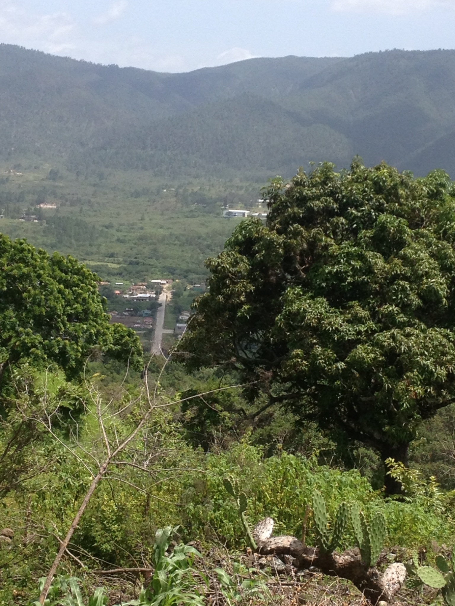
2013-02-16 14.44.41

20180216_112212(0)
Topographic Map of Tamara, Honduras
Find elevation by address:

Places near Tamara, Honduras:
La Leona
Cristo Del Picacho
Estatua De Manuel Bonilla
Calle Buena Vista, Tegucigalpa, Honduras
Tiloarque
Embajada De Estados Unidos Tegucigalpa
Tegucigalpa
Palmerola
Soto Cano Air Base
El Volcan
La Paz
Comayagua
Centro De Entrenamiento De Desarrollo Agrícola - Ceda
Comayagua Department
La Paz
El Chiflador
Siguatepeque
Calanterique
Siguatepeque
Marcala Honduras
Recent Searches:
- Elevation of Corso Fratelli Cairoli, 35, Macerata MC, Italy
- Elevation of Tallevast Rd, Sarasota, FL, USA
- Elevation of 4th St E, Sonoma, CA, USA
- Elevation of Black Hollow Rd, Pennsdale, PA, USA
- Elevation of Oakland Ave, Williamsport, PA, USA
- Elevation of Pedrógão Grande, Portugal
- Elevation of Klee Dr, Martinsburg, WV, USA
- Elevation of Via Roma, Pieranica CR, Italy
- Elevation of Tavkvetili Mountain, Georgia
- Elevation of Hartfords Bluff Cir, Mt Pleasant, SC, USA