Elevation of Tam Đường District, Lai Chau, Vietnam

Location: Vietnam > Lai Chau >

Longitude: 103.613120

Latitude: 22.3497051

Elevation: 1195m / 3921feet

Barometric Pressure: 88KPa

Elevation Map:

elevation map of Tam Đường District, Lai Chau, Vietnam

Satellite Map:

Satellite map of Tam Đường District, Lai Chau, Vietnam

Related Photos:

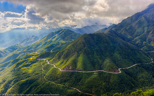
Đèo Ô quy hồ
travel panorama cloud mountains southeastasia northwest vietnam laichau indochina tamduong việtnam tamđường laichâu tâybắc
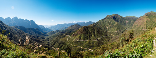
Tam Đường panorama
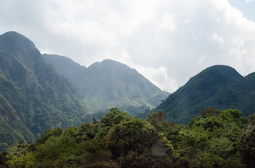
Mountains & Clouds (Sapa - Vietnam)
travel geotagged southeastasia northwest vietnam laichau indochina việtnam laichâu tâybắc exploreindochina geo:lat=2235279 geo:long=10376492
First aid in action
sky cloud sun sunlight mountain nature clouds landscape town pass may sapa sunray laocai nui troi phongcanh thiên phongcảnh trời vân bầutrời núi làocai đèo mây taybac tâybắc cổngtrời bautroi thịtrấn núinon ánhsángmặttrời northernwest nuinon oquyhopass đèoôquýhồ deooquyho ôquýhồpass anhsangmattroi topofoquyhopass
At the top of O Quy Ho pass
sky cloud sun sunlight mountain nature clouds landscape town pass may sapa sunray laocai nui troi phongcanh thiên phongcảnh trời vân bầutrời núi làocai đèo mây taybac tâybắc cổngtrời bautroi thịtrấn núinon ánhsángmặttrời northernwest nuinon oquyhopass đèoôquýhồ deooquyho ôquýhồpass anhsangmattroi topofoquyhopass
At the top of O Huy Ho pass
fog nebel foggy vietnam sapa laocai passroad tramtonpass passstrasse laocaiprovince
Foggy Tram Ton Pass // Nebel am Tram Ton Pass
2011 vietnam southeastasia travel tourism nature flora fauna landscape ricefields riceterraces socialistrepublicofvietnam peninsula indochina asia mountains rice scenery ethnic girl female localgirl smile conicalhat minority child tradition culture portrait naturallight happyplanet asiafavorites cute adorable
Vietnam Lai Chau
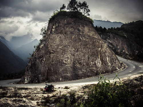
travel mountains geotagged southeastasia offroad northwest vietnam adventure motorbike motorcycle roads tours minsk touring laichau motorcycling indochina motorbiking минск việtnam laichâu geo:lat=2241828523170515 geo:lon=1034851876084597 xemay xemáy tâybắc
KD on the Tam Đường trail
ôquýhồpass landscape nature tâybắc nui khói hdr sun cổngtrời đèo sunray trip sapa cloud travel fog sky sunlight pass may taybac mountain sơnbình làocai vietnam vn
At O Quy Ho Pass
nuinon đèoôquýhồ núi phongcanh nature thịtrấn troi cổngtrời bầutrời sapa trời sky sunlight may bautroi ôquýhồpass landscape thiên mây sunset northernwest tâybắc oquyhopass anhsangmattroi phongcảnh town clouds sunray sun deooquyho laocai nui ánhsángmặttrời vân đèo làocai hoanghon taybac green núinon cloud pass mountain
O Quy Ho_TLoTR_Style
pass ôquyho laichau vietnam green discovery natural clouds nikon nikonphotography nikond600 road wanderlust ngc
First time at Ô Quy Hồ pass
:)
laichâu biểnmây tâybắc thànhphốlaichâu
Lai Châu_1
laichâu biểnmây tâybắc thànhphốlaichâu
Lai Châu_2
road landscape pass hdr
Đèo Ô Quý Hồ
Heaven up and down
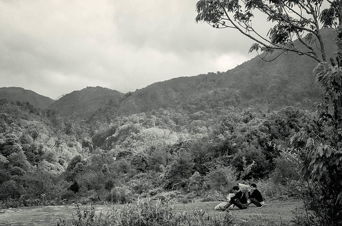
blackandwhite expedition monochrome forest asia location vietnam research resting botany exploration biology laocai porters vn souteastasia nationalgeographics republicofvietnam hoangliensapanationalpark
Resting with plant bags
vietnam sapa
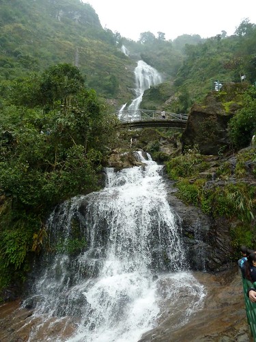
Cataratas Thac Bac
tree expedition forest asia location vietnam research valley geology wilderness botany exploration biology laocai vn souteastasia nationalgeographics republicofvietnam hoangliensapanationalpark
Deep forest
travel mountains geotagged southeastasia vietnamese northwest vietnam tours touring hmong laichau indochina việtnam laichâu geo:lat=2241850849133275 geo:lon=1034839304613457 tâybắc
Hmong girls on market day
travel panorama mountain mountains clouds geotagged southeastasia northwest pass vietnam roads sapa laichau indochina việtnam núi laichâu đèo geo:lat=2235510558060638 geo:lon=1037607934529634 tâybắc
Highest road in Việt Nam
travel tourism landscape nikon scenery asia tour north vietnam motorbike backpacking laichau d90 limestonekarst goneforawander
Riding over the pass east of Lai Chau, Vietnam