Elevation of Tall Tree Avenue, Anchor Point, AK, USA
Location: United States > Alaska > Kenai Peninsula Borough > Anchor Point >
Longitude: -151.73590
Latitude: 59.8664307
Elevation: 69m / 226feet
Barometric Pressure: 100KPa
Elevation Map:
Satellite Map:
Related Photos:
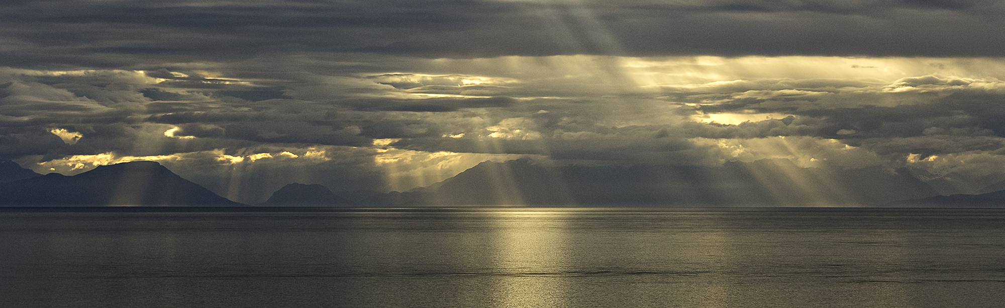
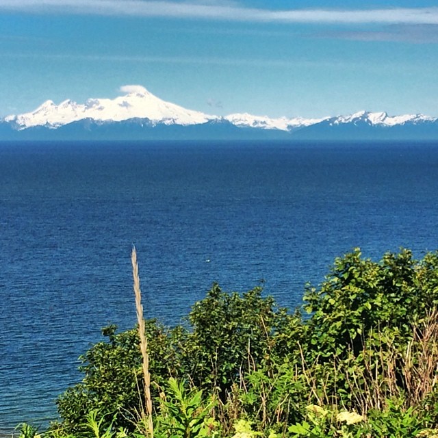
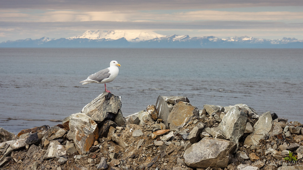
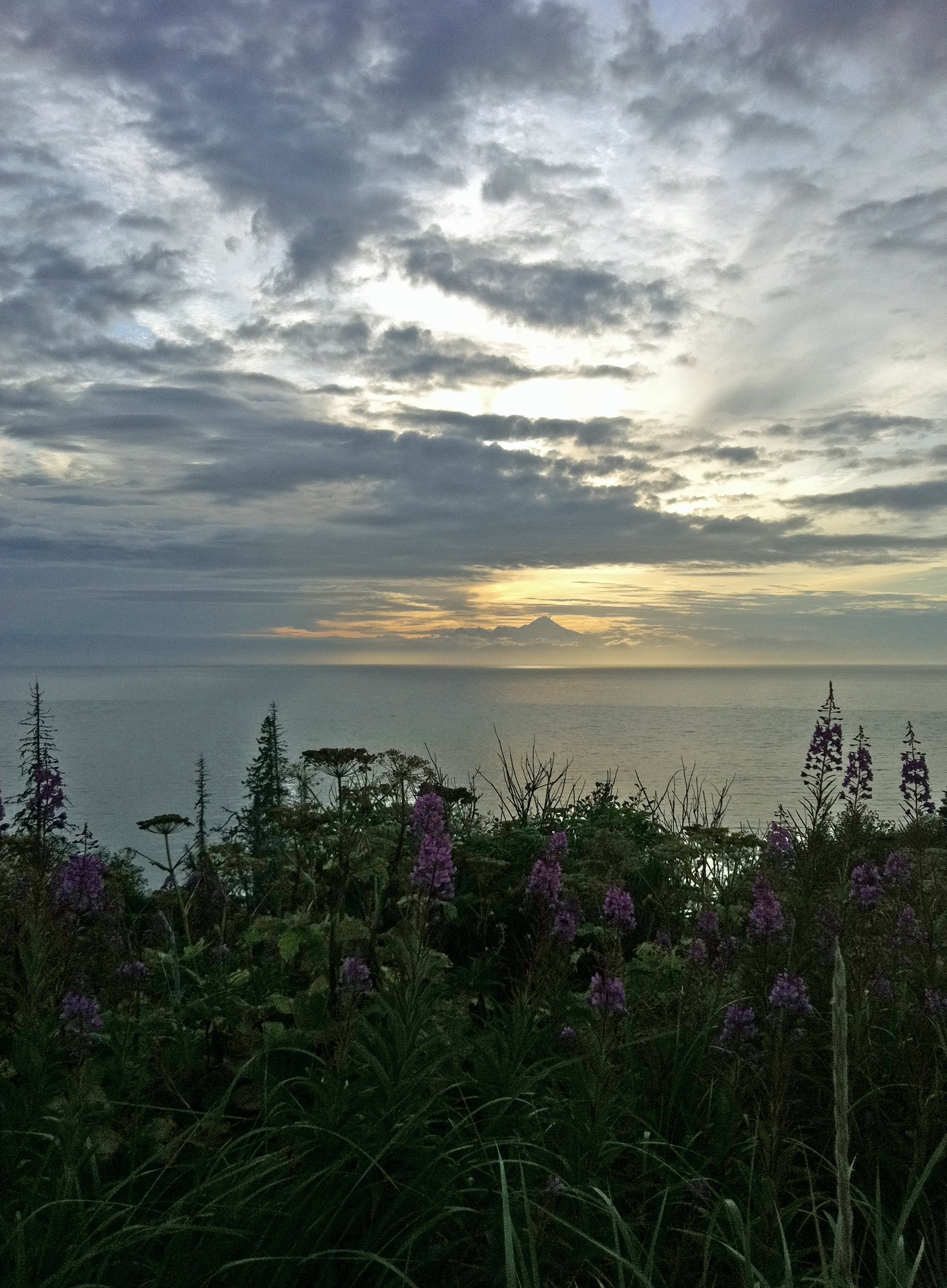
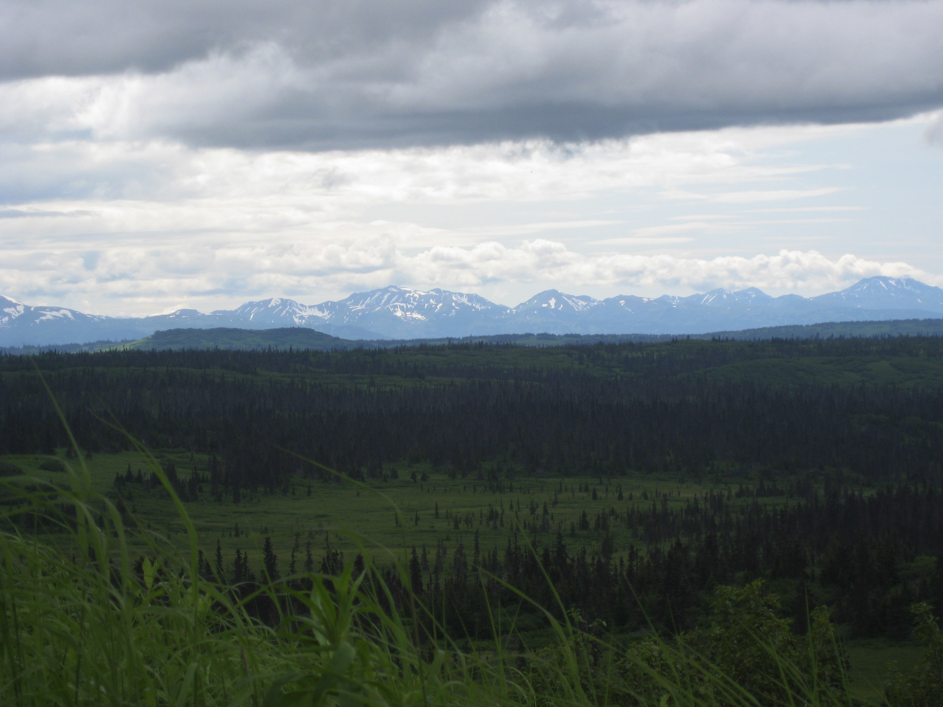
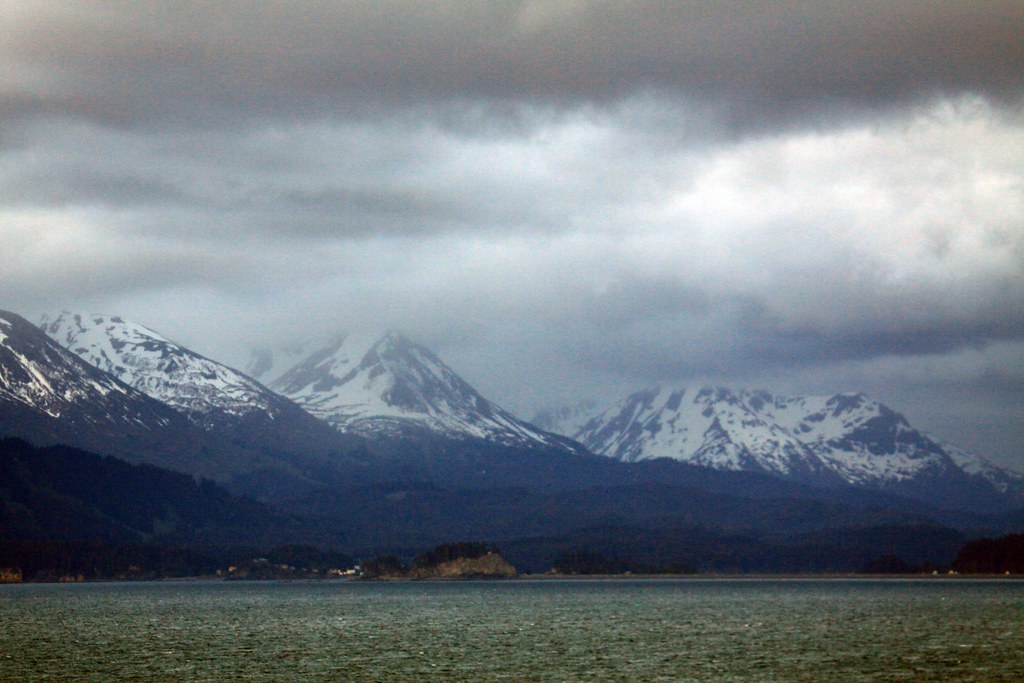
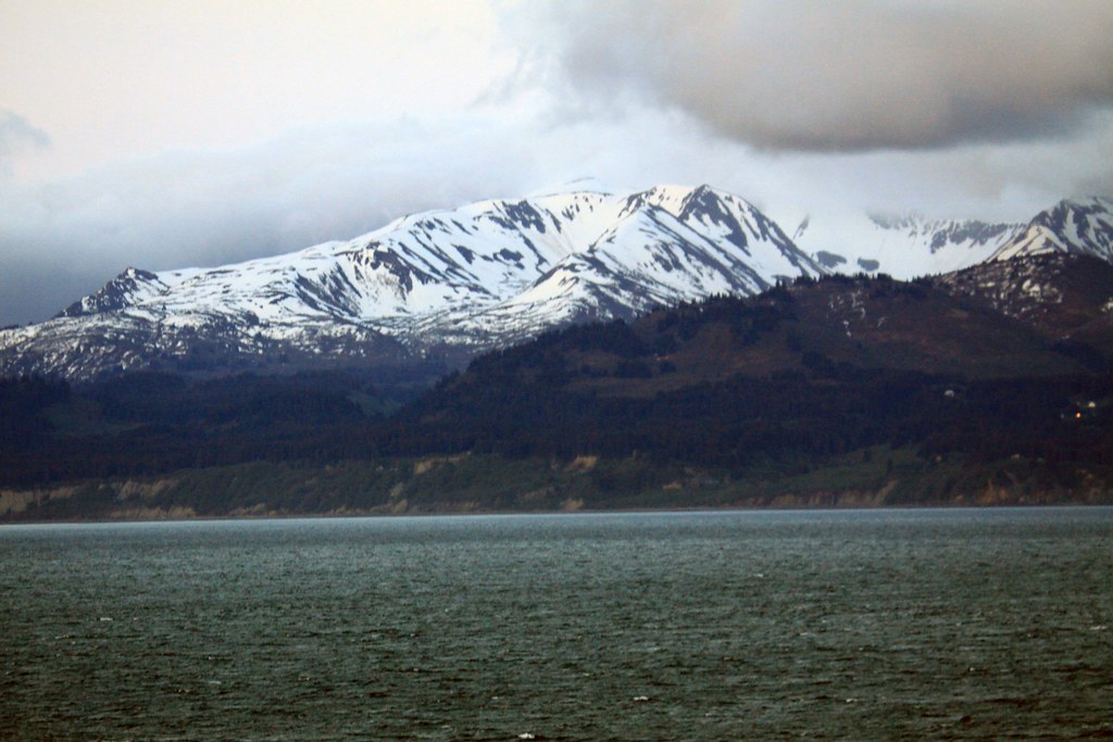
Cook Inlet, Alaska
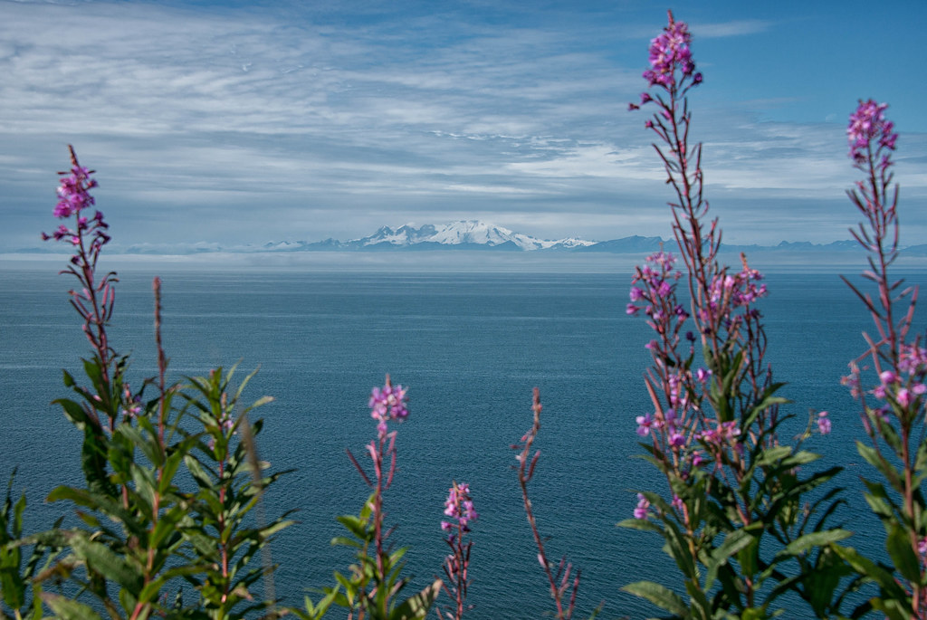
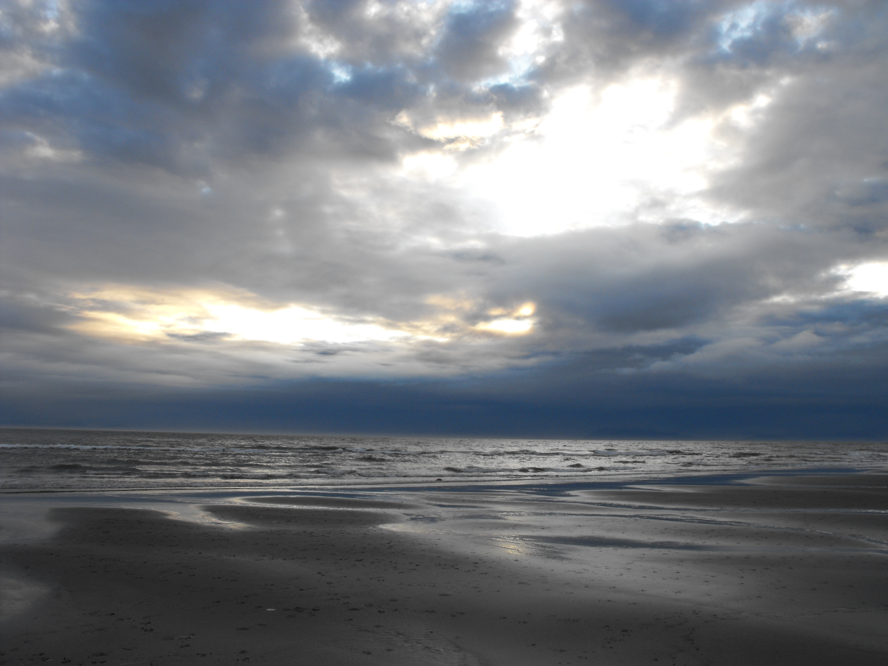
Sea Views
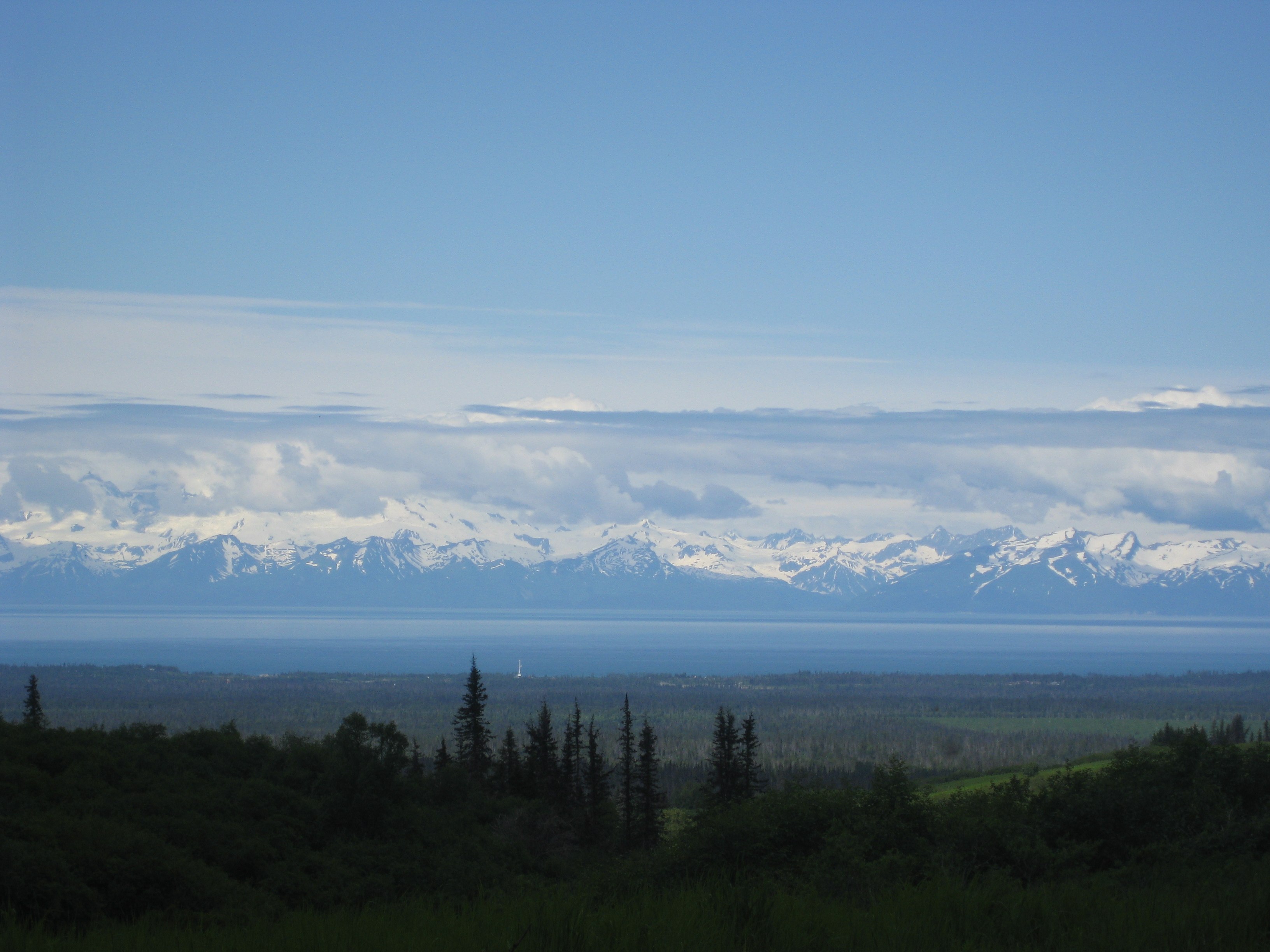
Inlet Views
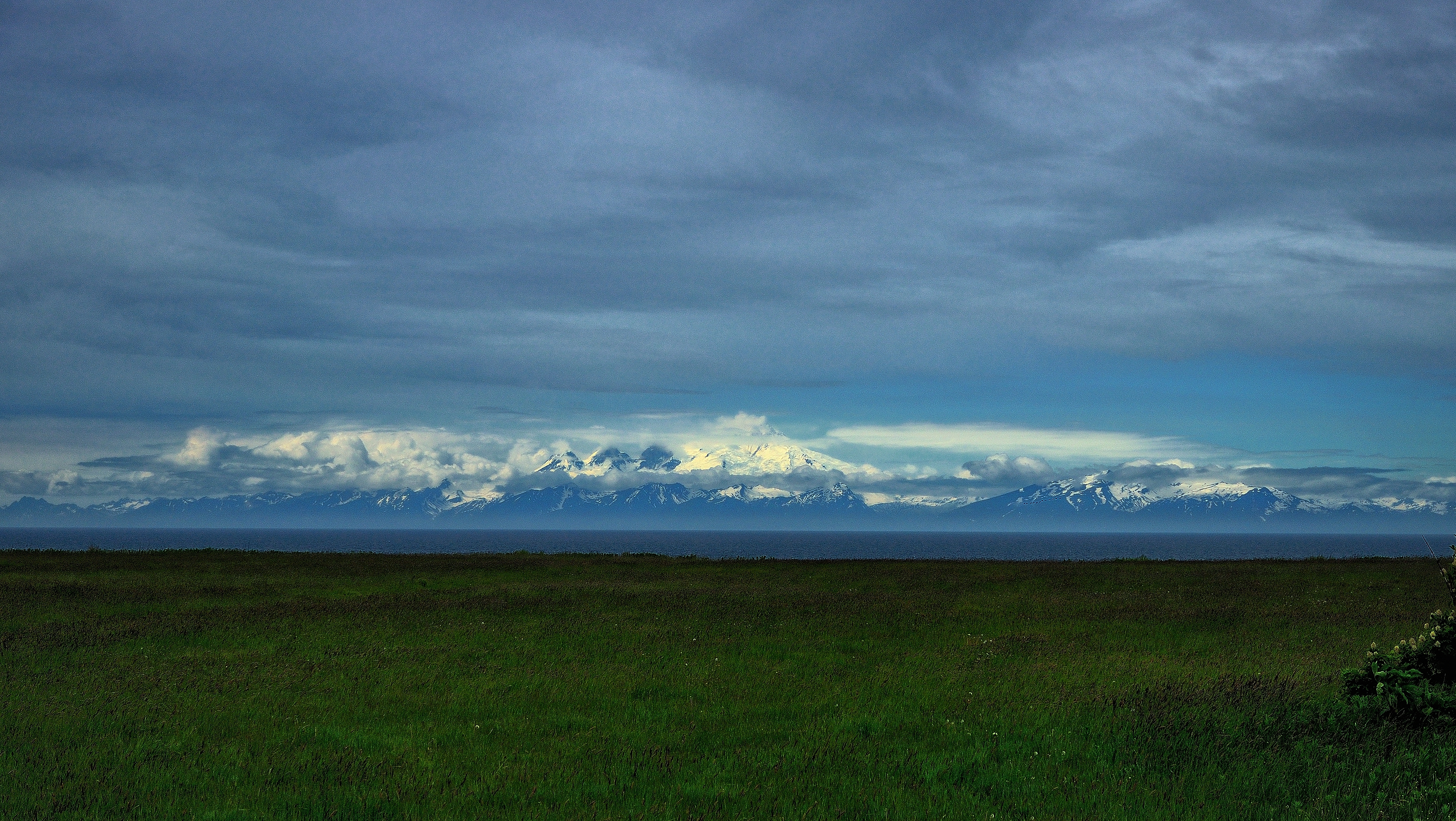
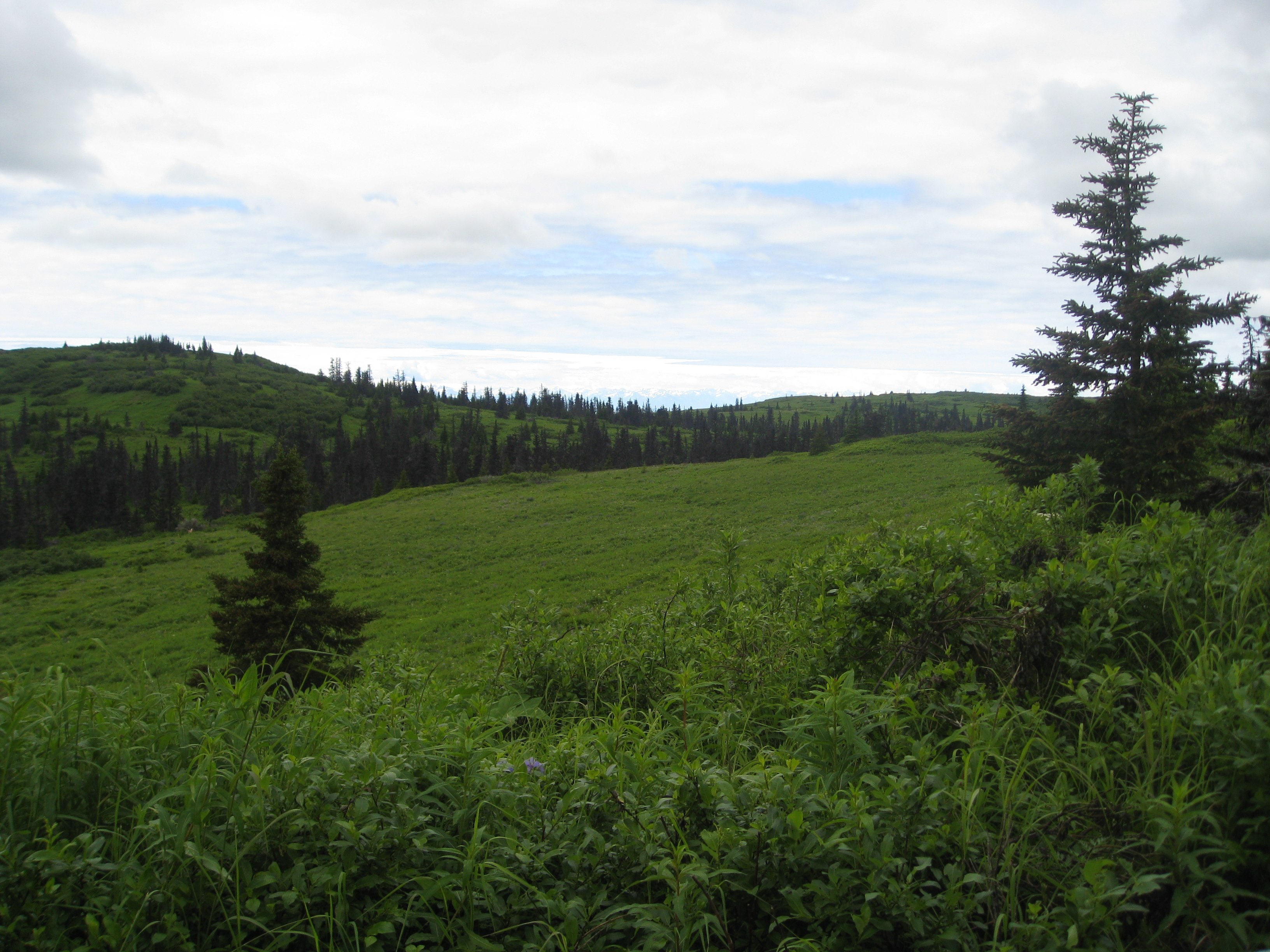
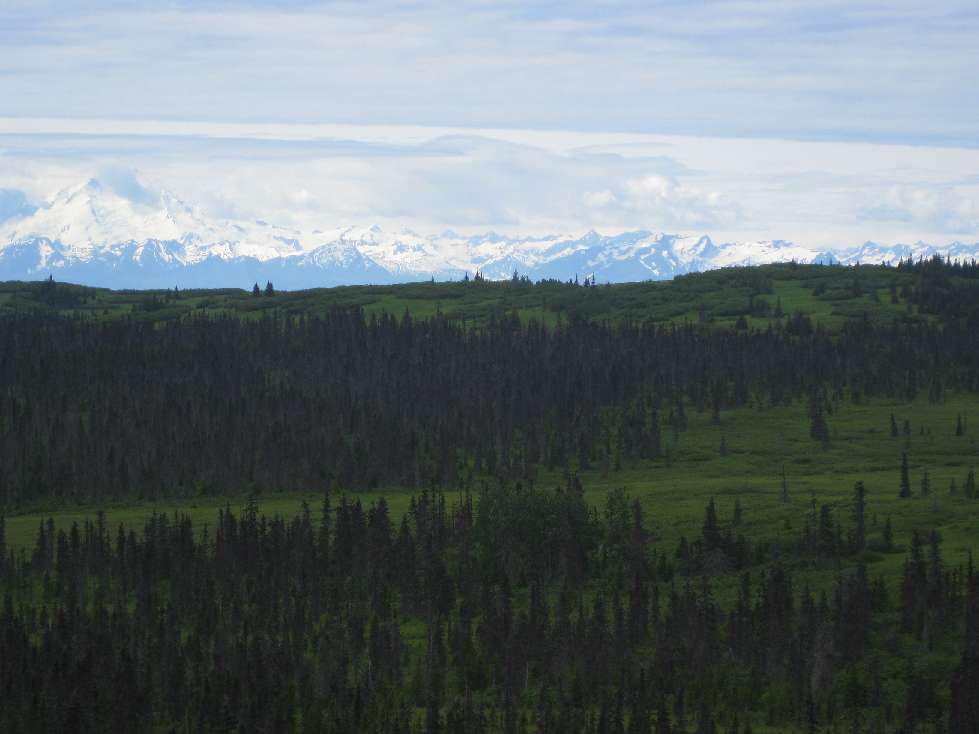
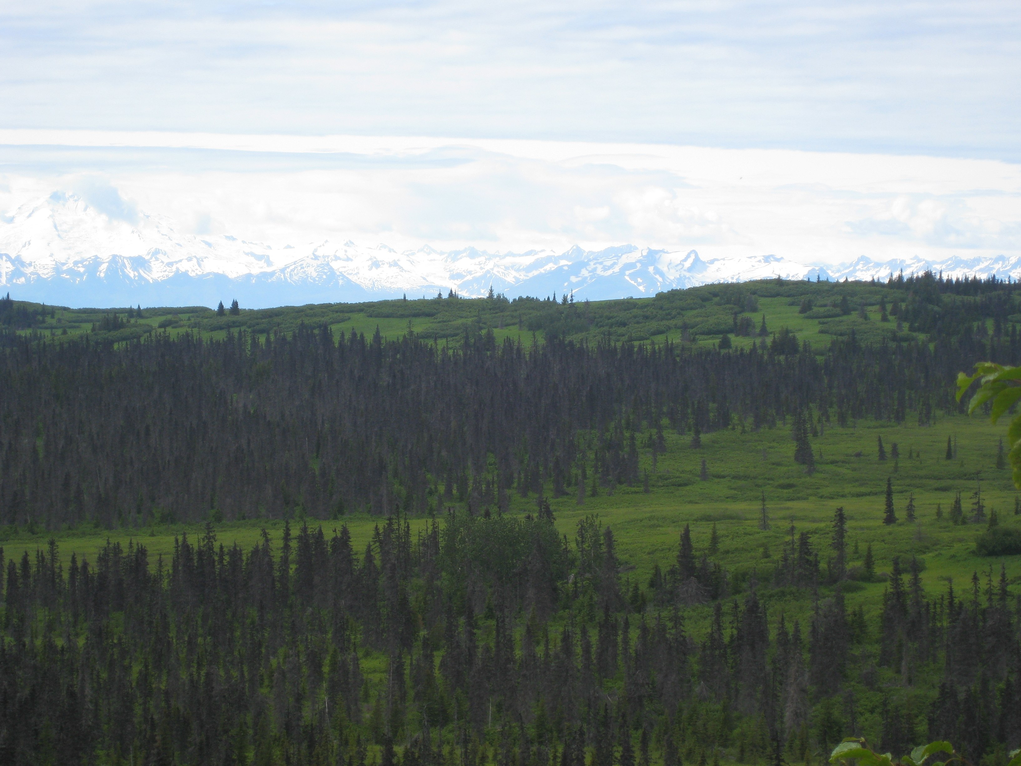
A View of Mount Redoubt and a Grassy Field
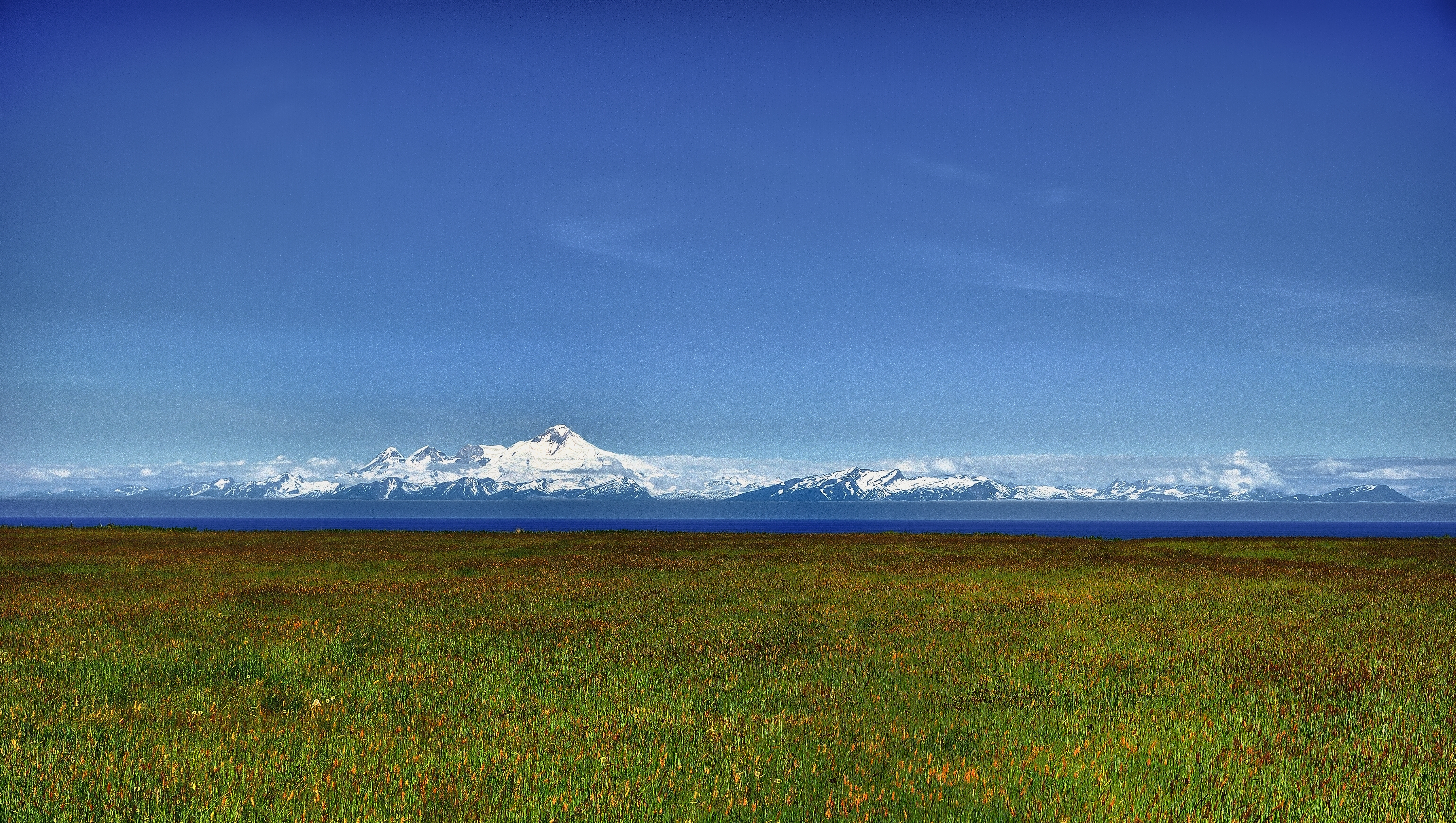
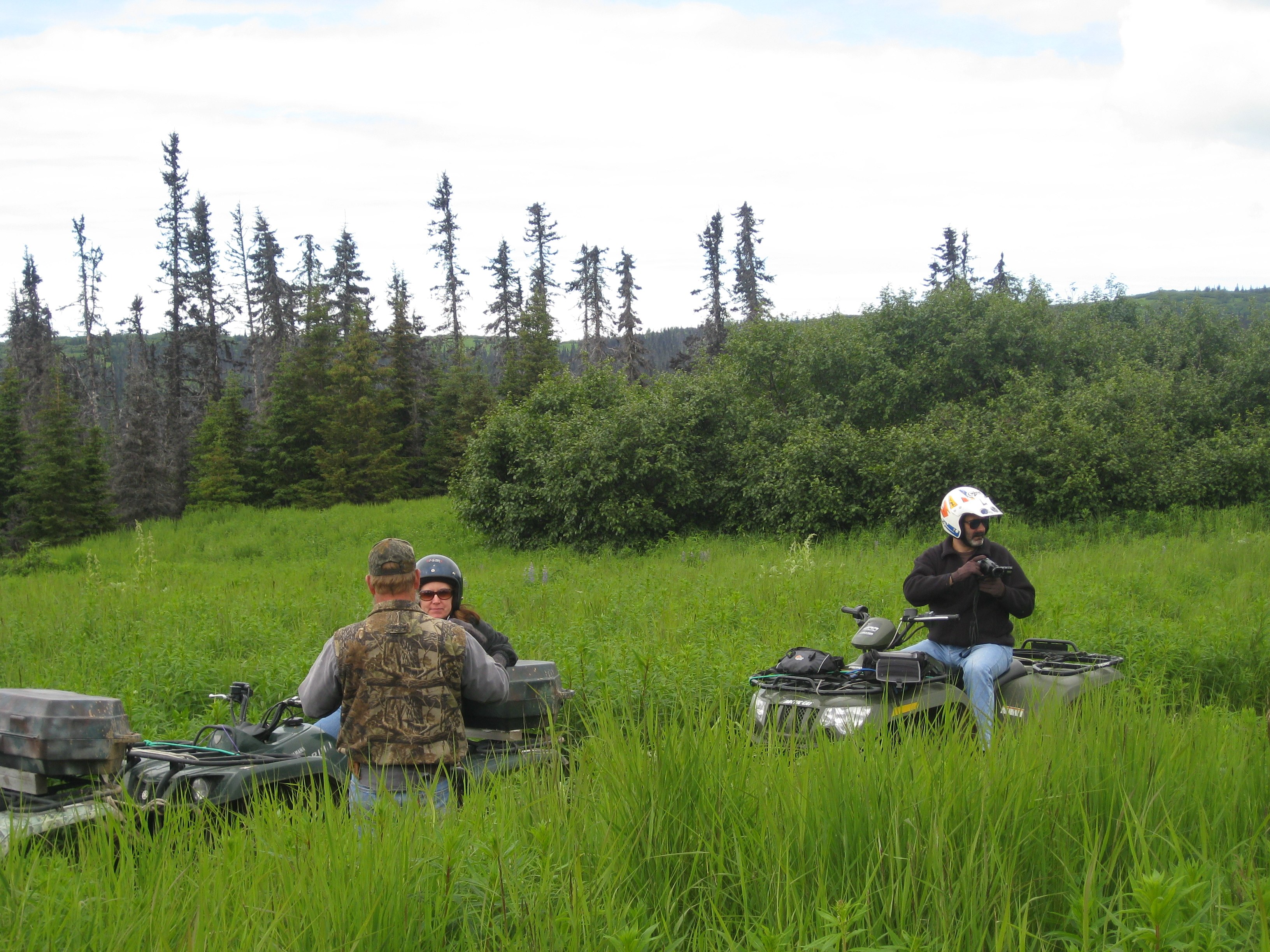
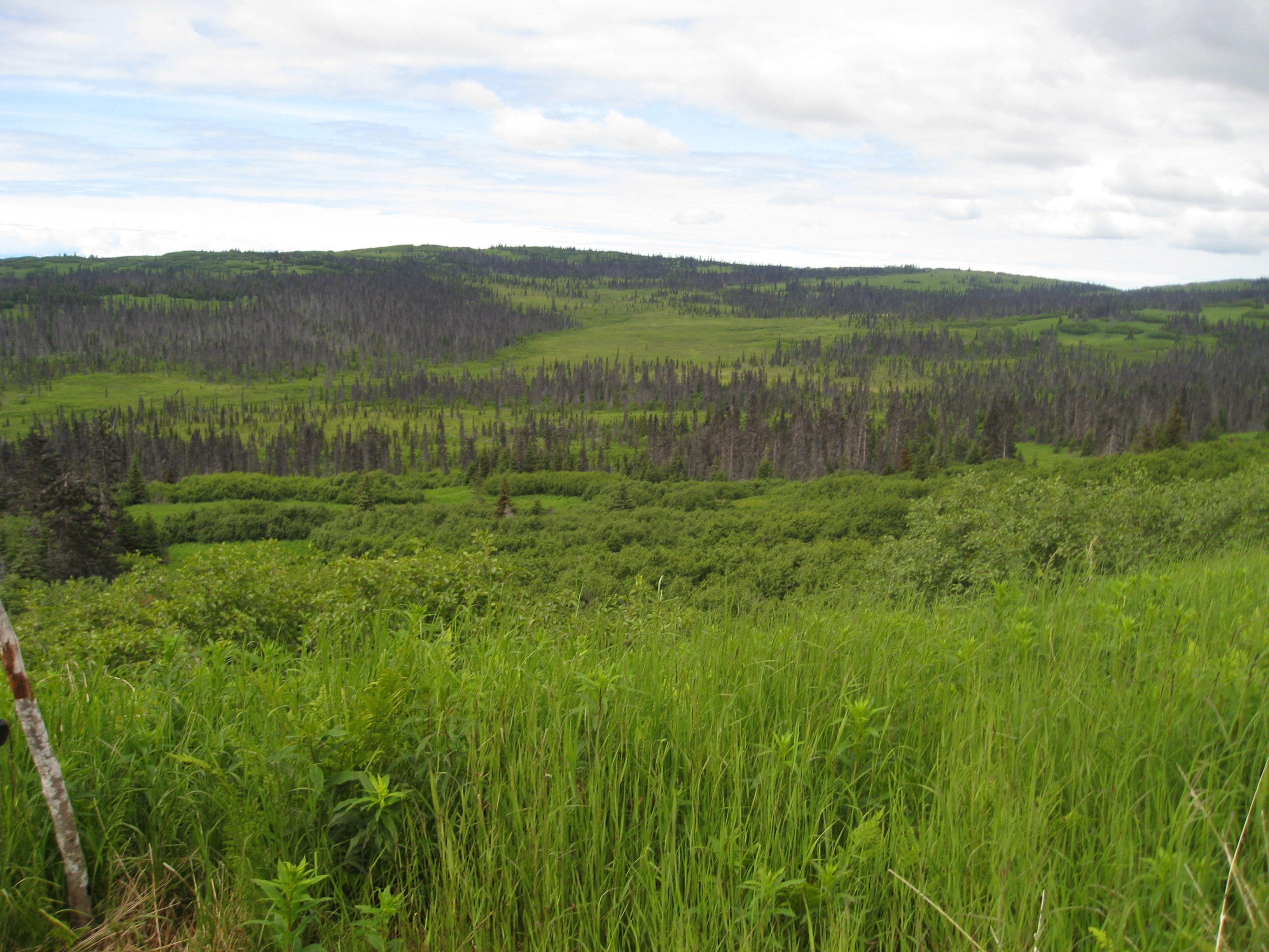
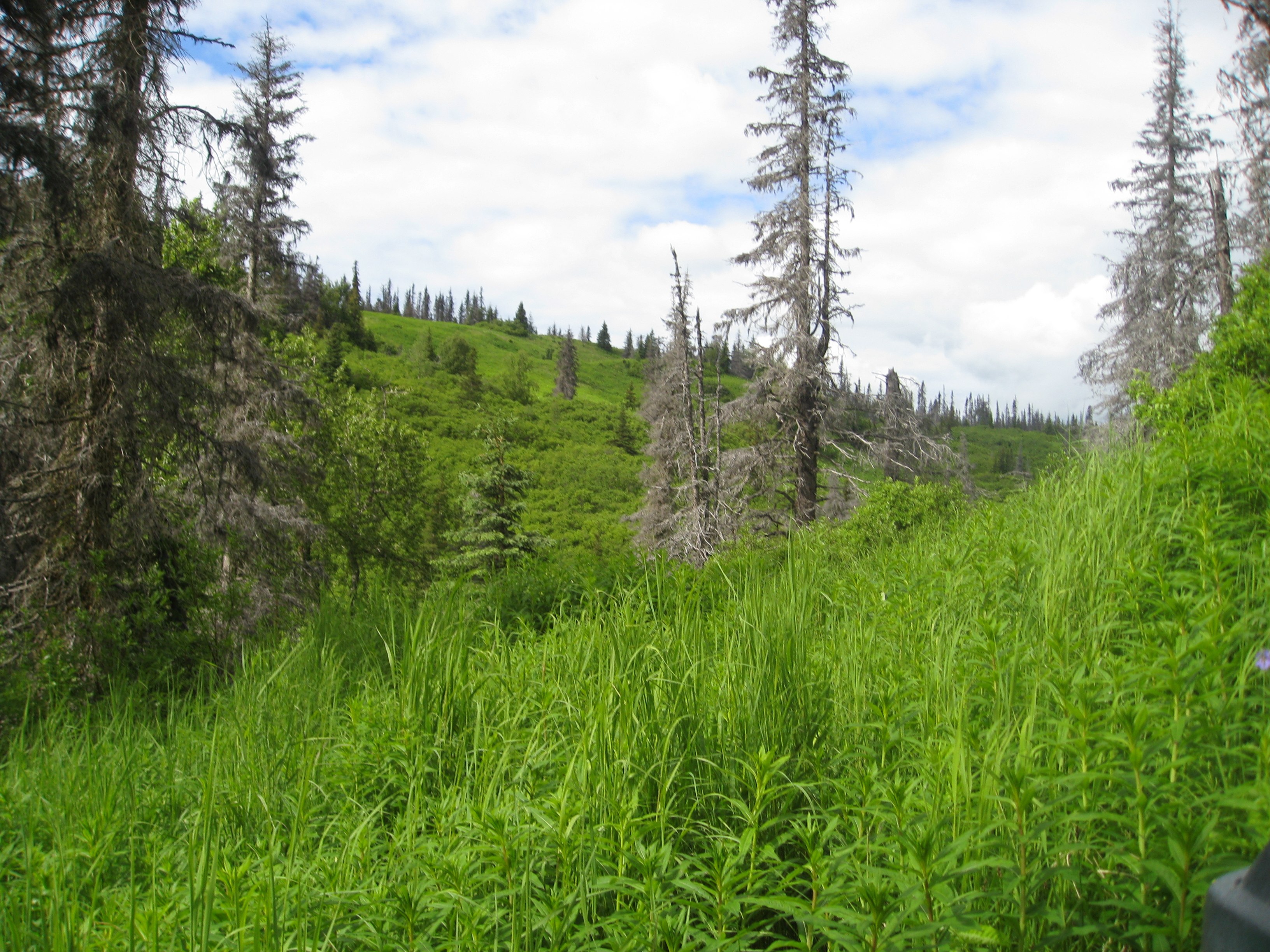
A Beautiful Day with a Grassy Field and Mountains
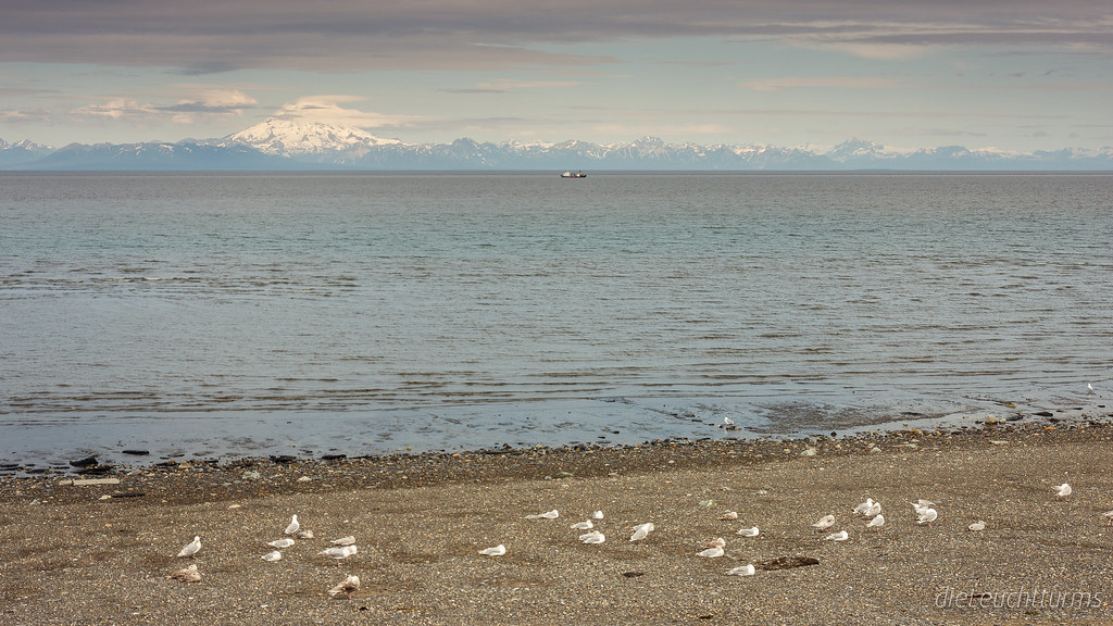
The view of Cook Inlet heading into Homer. #cookinlet #homer #mtiliamna

Enjoying the view of Cook Inlet, Alaska
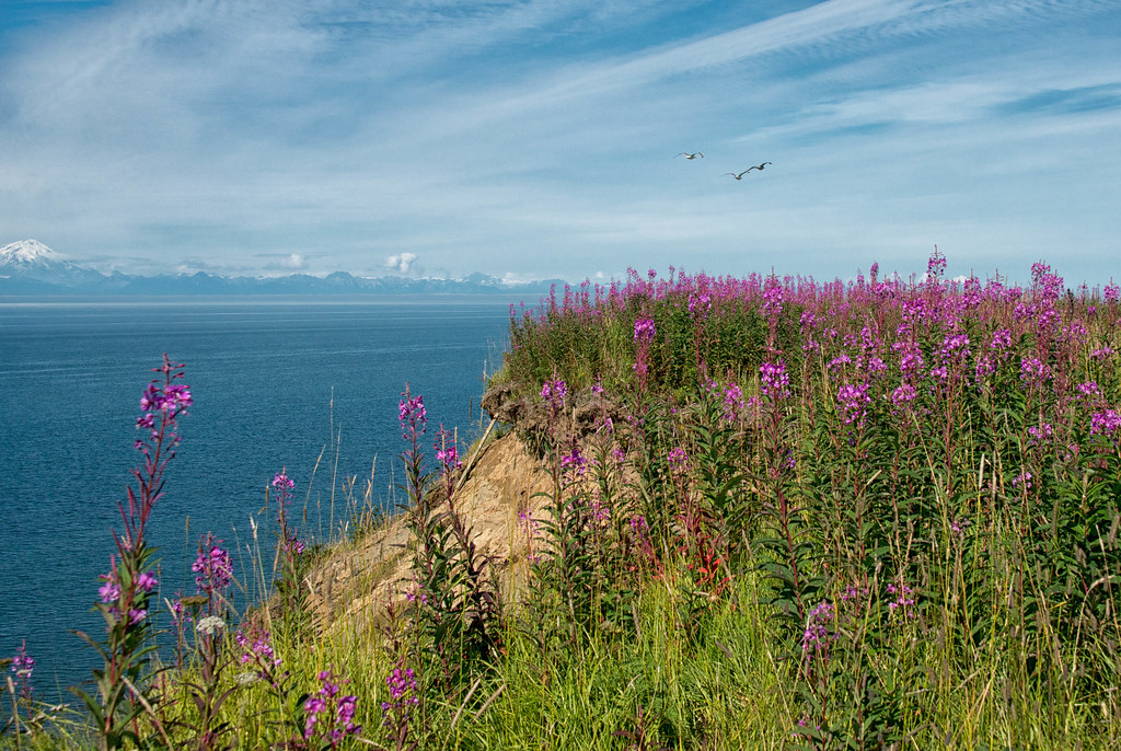
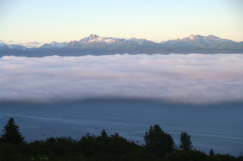
View above Cook Inlet
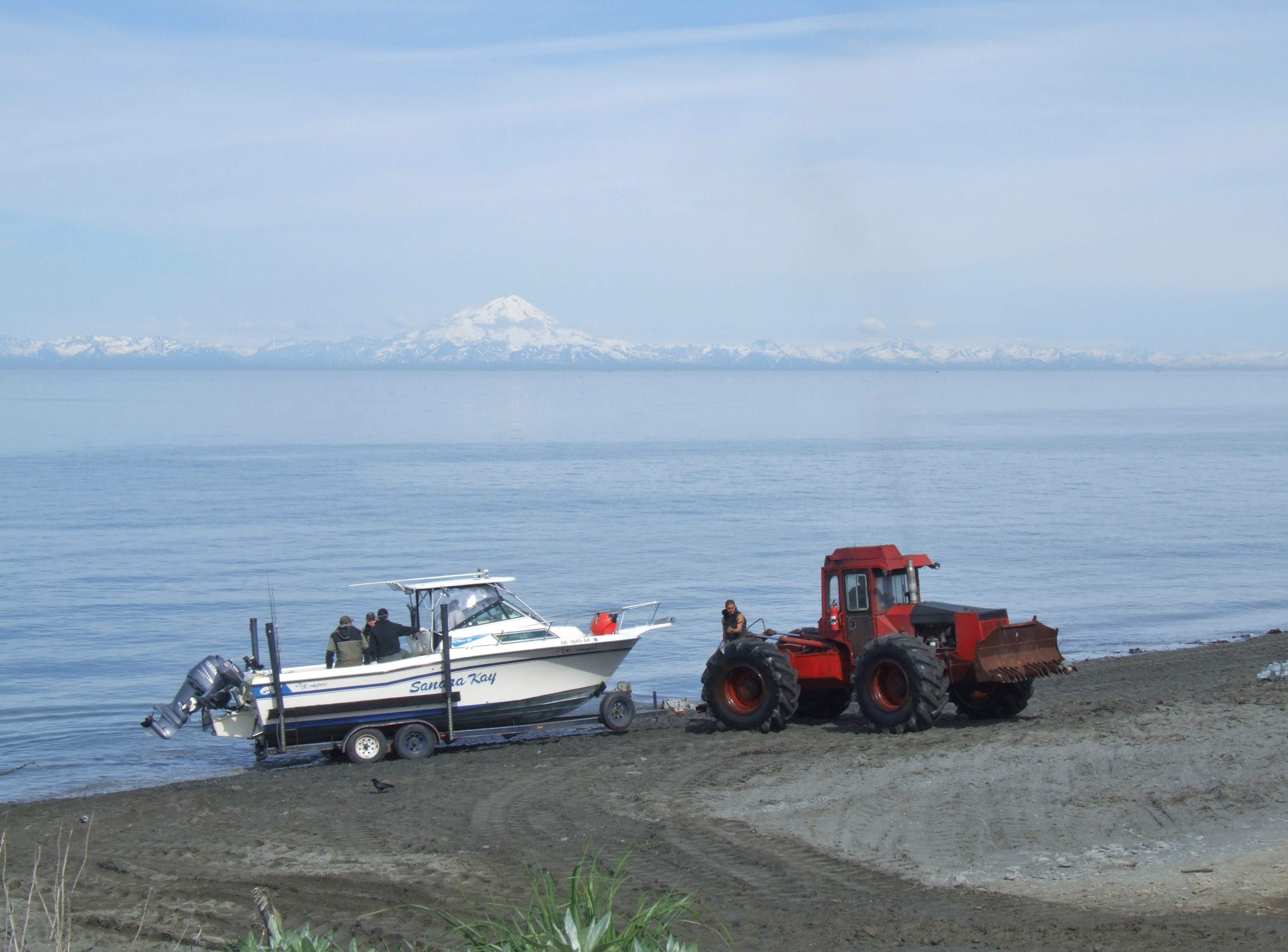
Boat Launching
View above Cook Inlet
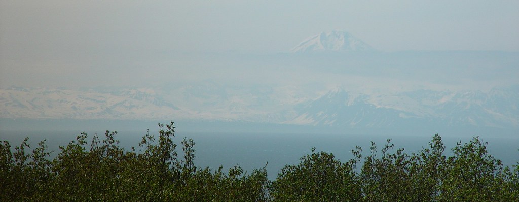
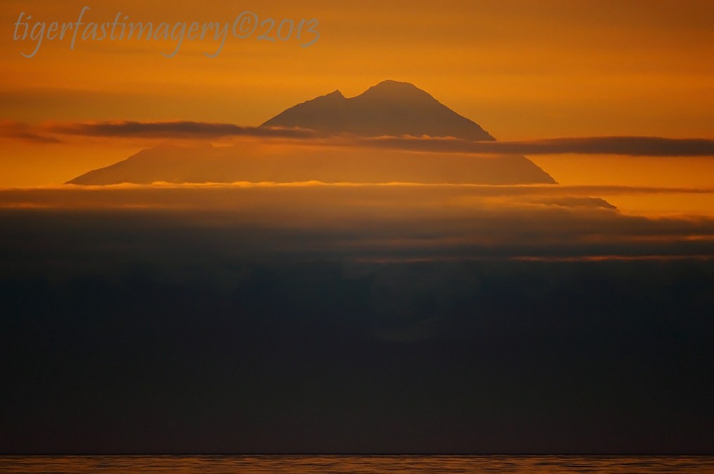
A Distant Volcano
To Homer

IMG_2425.JPG
IMG_2467.JPG
IMG_2527.JPG
Mt Iliamna
IMG_2520.JPG
IMG_2471.JPG
Landscape leaving Anchorage Alaska
IMG_2499.JPG
Whiskey Gulch
IMG_2426.JPG

To Homer
IMG_2553.JPG
IMG_2496.JPG
2008-07 Alaska 0653
IMG_2505.JPG
Landscape leaving Anchorage Alaska
Topographic Map of Tall Tree Avenue, Anchor Point, AK, USA
Find elevation by address:

Places near Tall Tree Avenue, Anchor Point, AK, USA:
70340 Tall Tree Avenue
34325 N Fork Rd
34321 N Fork Rd
31158 Whiskey Gulch St
Anchor Point
Nikolaevsk
Nikolaevsk Rd, Nikolaevsk, AK, USA
Nikolaevsk Rd, Nikolaevsk, AK, USA
73695 Seabury Rd
Ninilchik
40856 Belnap Dr
40856 Belnap Dr
41165 Belnap Dr
Diamond Ridge Road
3685 Sterling Hwy
41075 Bidarki Dr
Autumn Star St, Homer, AK, USA
Cozy Cove Drive
1505 Sterling Hwy
995 Soundview Ave
Recent Searches:
- Elevation of Corso Fratelli Cairoli, 35, Macerata MC, Italy
- Elevation of Tallevast Rd, Sarasota, FL, USA
- Elevation of 4th St E, Sonoma, CA, USA
- Elevation of Black Hollow Rd, Pennsdale, PA, USA
- Elevation of Oakland Ave, Williamsport, PA, USA
- Elevation of Pedrógão Grande, Portugal
- Elevation of Klee Dr, Martinsburg, WV, USA
- Elevation of Via Roma, Pieranica CR, Italy
- Elevation of Tavkvetili Mountain, Georgia
- Elevation of Hartfords Bluff Cir, Mt Pleasant, SC, USA