Elevation of Talimundoc San Miguel, Talimundoc, 8MF2+6W9, San Miguel, Concepcion, Tarlac, Philippines
Location: Philippines > Central Luzon > Tarlac > Concepcion >
Longitude: 120.652362
Latitude: 15.3230428
Elevation: 32m / 105feet
Barometric Pressure: 101KPa
Elevation Map:
Satellite Map:
Related Photos:

A very windowed view #LazyMonday

where's the storm?

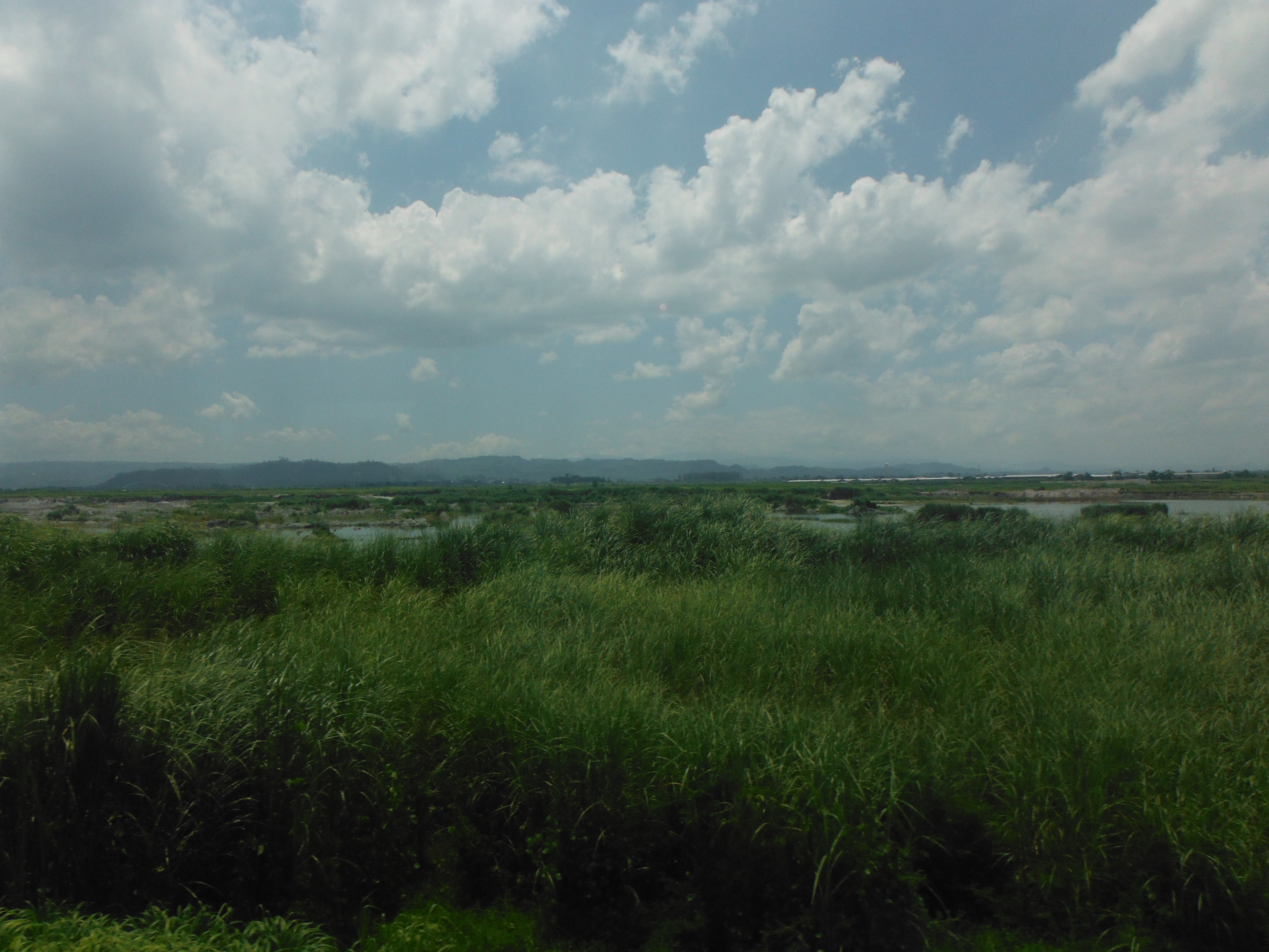
Enchanting view at SCTEX

By @yellowcollarfilms "I'm with the side of filmmakers in the Cinemalaya issue against free public viewing. Well, hindi ako against sa mapapanuod ng public ito but the producers of these films spent a large amount of money, to provide us with decent films

Sunset on the freeway

Clark International, Angeles City
ARMENIA, TARLAC | MAY 2018

CAPAS, TARLAC | MAY 2018

good morning????☀️!! happy friday????????????#tplex#roadtrip????

Mount Pinatubo Crater

ARMENIA, TARLAC | MAY 2018

Mt. Arayat
Filipinas. Isla de Luzón- . De Baguio a Manila

Morning Routine

Over MacArthur Hi-Way/Dau - AC

My Homeland
ARMENIA, TARLAC | MAY 2018

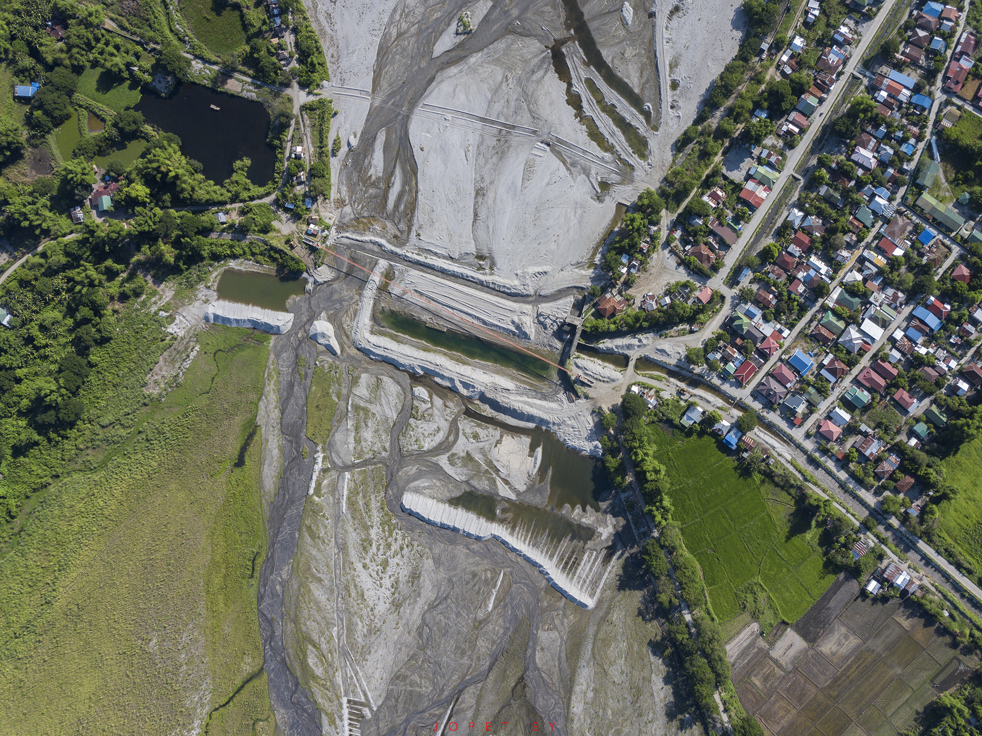
Nielsen Bridge

ARMENIA, TARLAC | MAY 2018

Nielsen Bridge v2.0

Mt. Pinatubo's Crater

Summer and nice cloud formations #clouds

Nearing sunset.
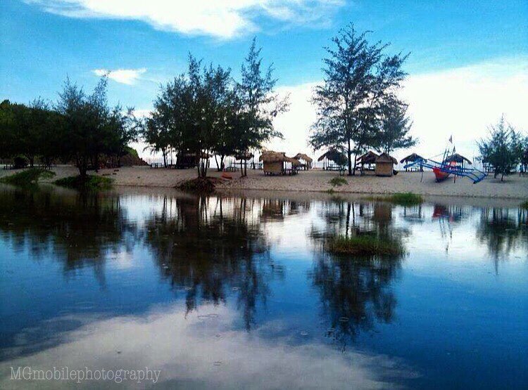
Beautiful anawangin #island #zambales #mgmobilephotography
Topographic Map of Talimundoc San Miguel, Talimundoc, 8MF2+6W9, San Miguel, Concepcion, Tarlac, Philippines
Find elevation by address:

Places near Talimundoc San Miguel, Talimundoc, 8MF2+6W9, San Miguel, Concepcion, Tarlac, Philippines:
Concepcion
Capas
Sto. Rosario Street
Angeles City Flying Club
Apostles Farm
Magalang
Bamban
Daymont Marketing
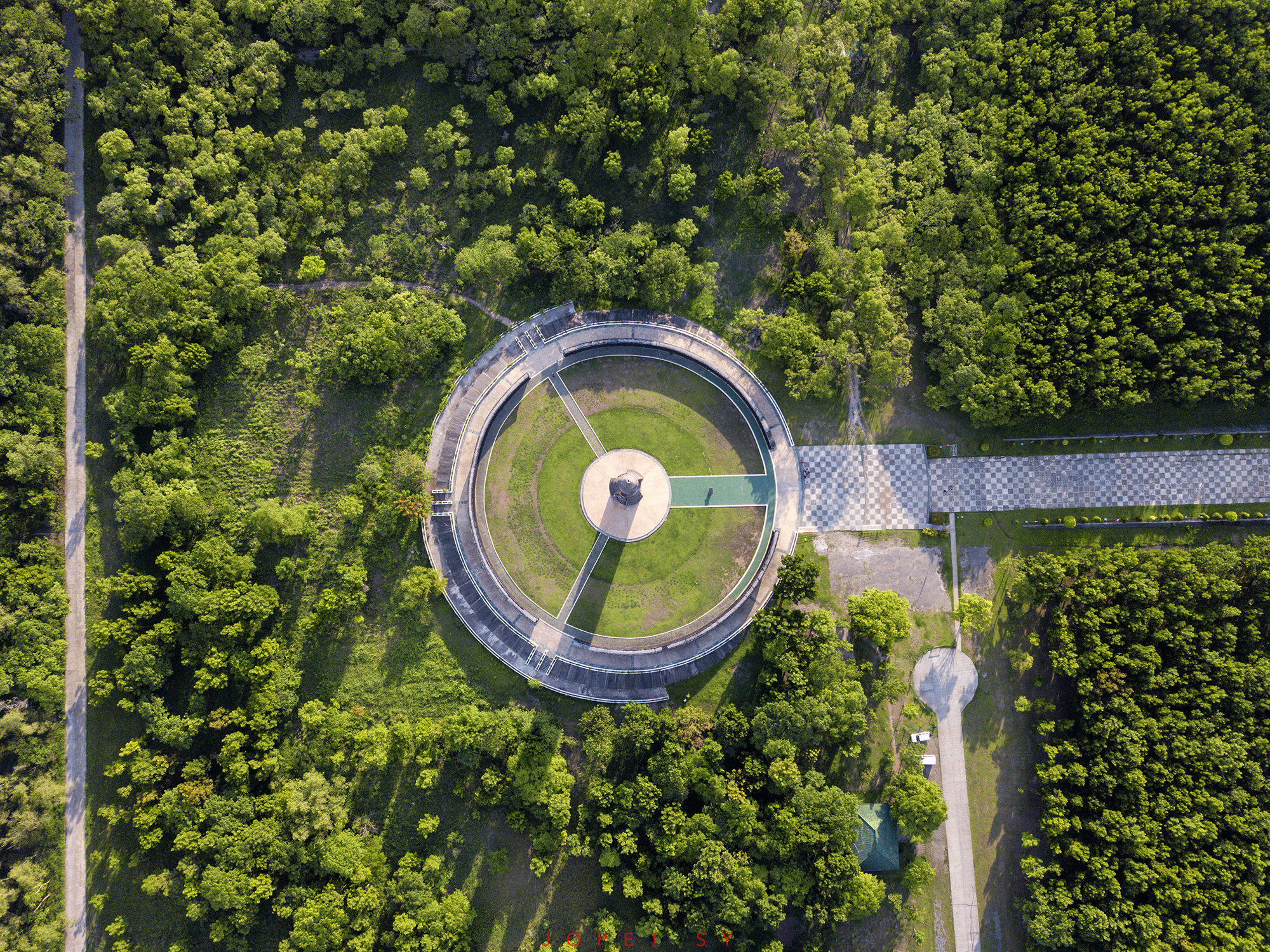
Capas National Shrine
Fiesta Communities Mabalacat
Clark Green City
Cacutud Elementary School
Cacutud
Mamatitang
Dolores
New Clark City Sports Stadium
Santa Ines
Mabalacat
Metro Clark Waste Management Corporation.
Mabiga
Recent Searches:
- Elevation of Corso Fratelli Cairoli, 35, Macerata MC, Italy
- Elevation of Tallevast Rd, Sarasota, FL, USA
- Elevation of 4th St E, Sonoma, CA, USA
- Elevation of Black Hollow Rd, Pennsdale, PA, USA
- Elevation of Oakland Ave, Williamsport, PA, USA
- Elevation of Pedrógão Grande, Portugal
- Elevation of Klee Dr, Martinsburg, WV, USA
- Elevation of Via Roma, Pieranica CR, Italy
- Elevation of Tavkvetili Mountain, Georgia
- Elevation of Hartfords Bluff Cir, Mt Pleasant, SC, USA