Elevation of Talchako R, Central Coast C, BC V0T, Canada
Longitude: -125.88861
Latitude: 52.12
Elevation: 2084m / 6837feet
Barometric Pressure: 79KPa
Elevation Map:
Satellite Map:
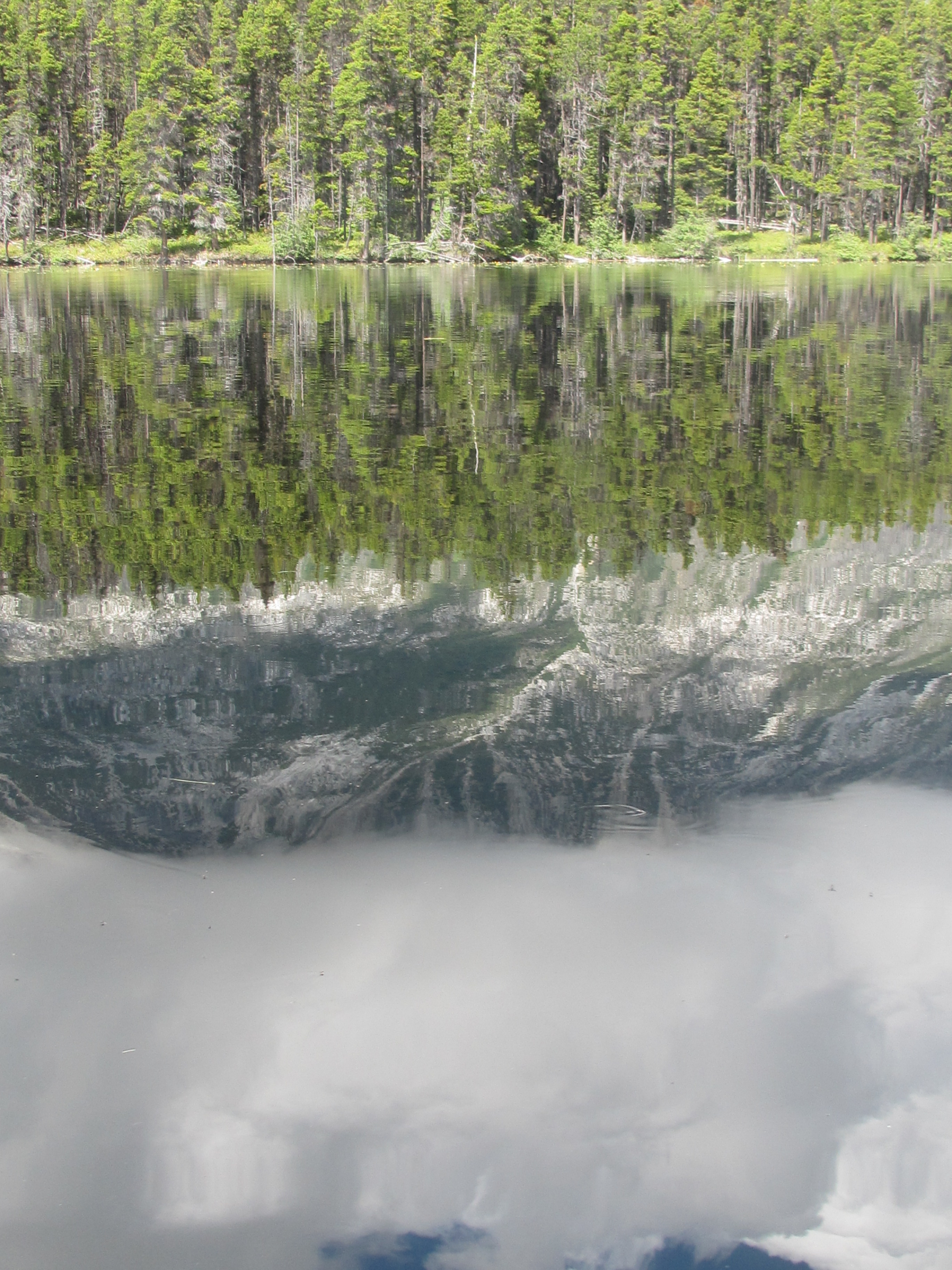
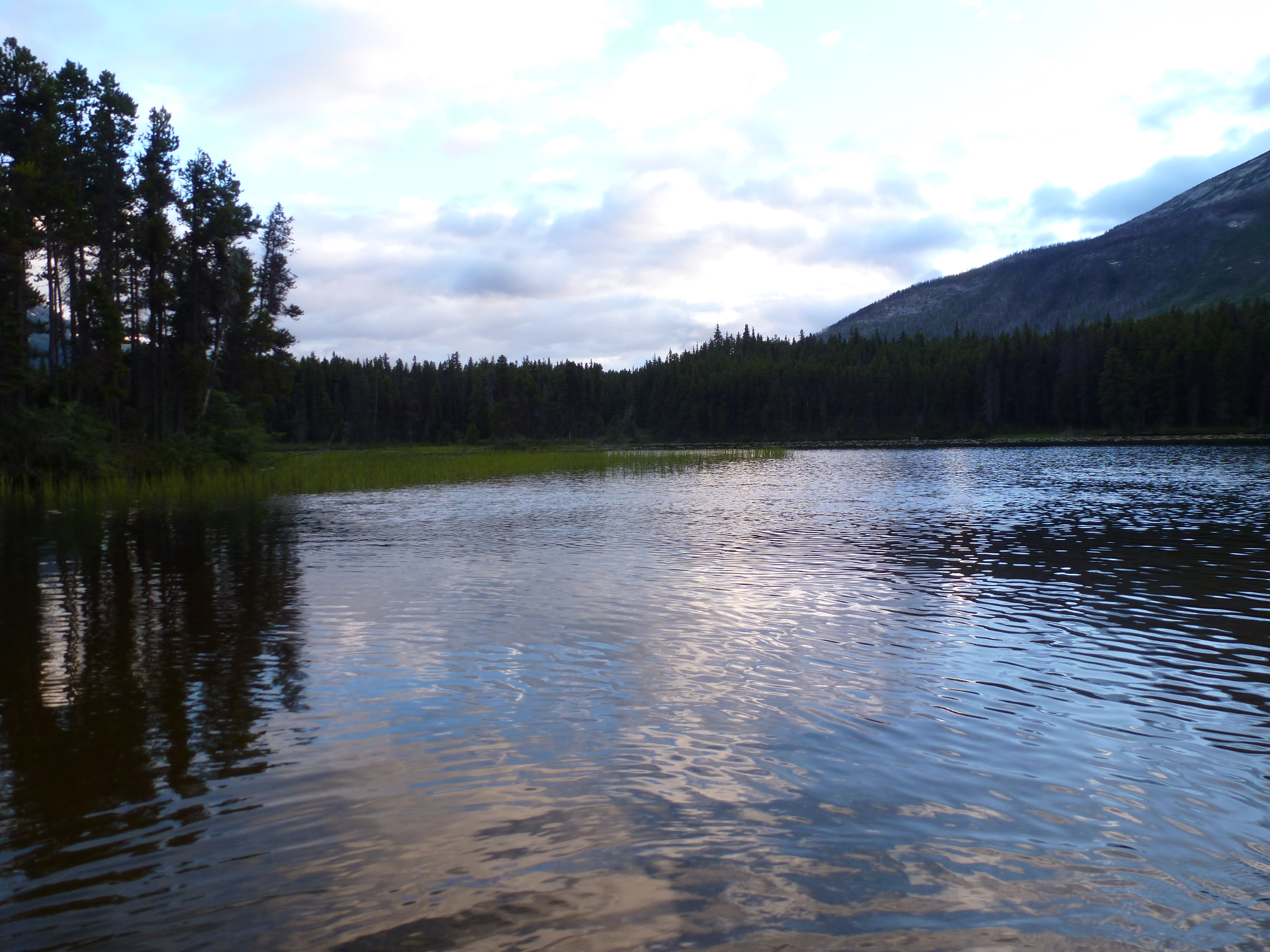
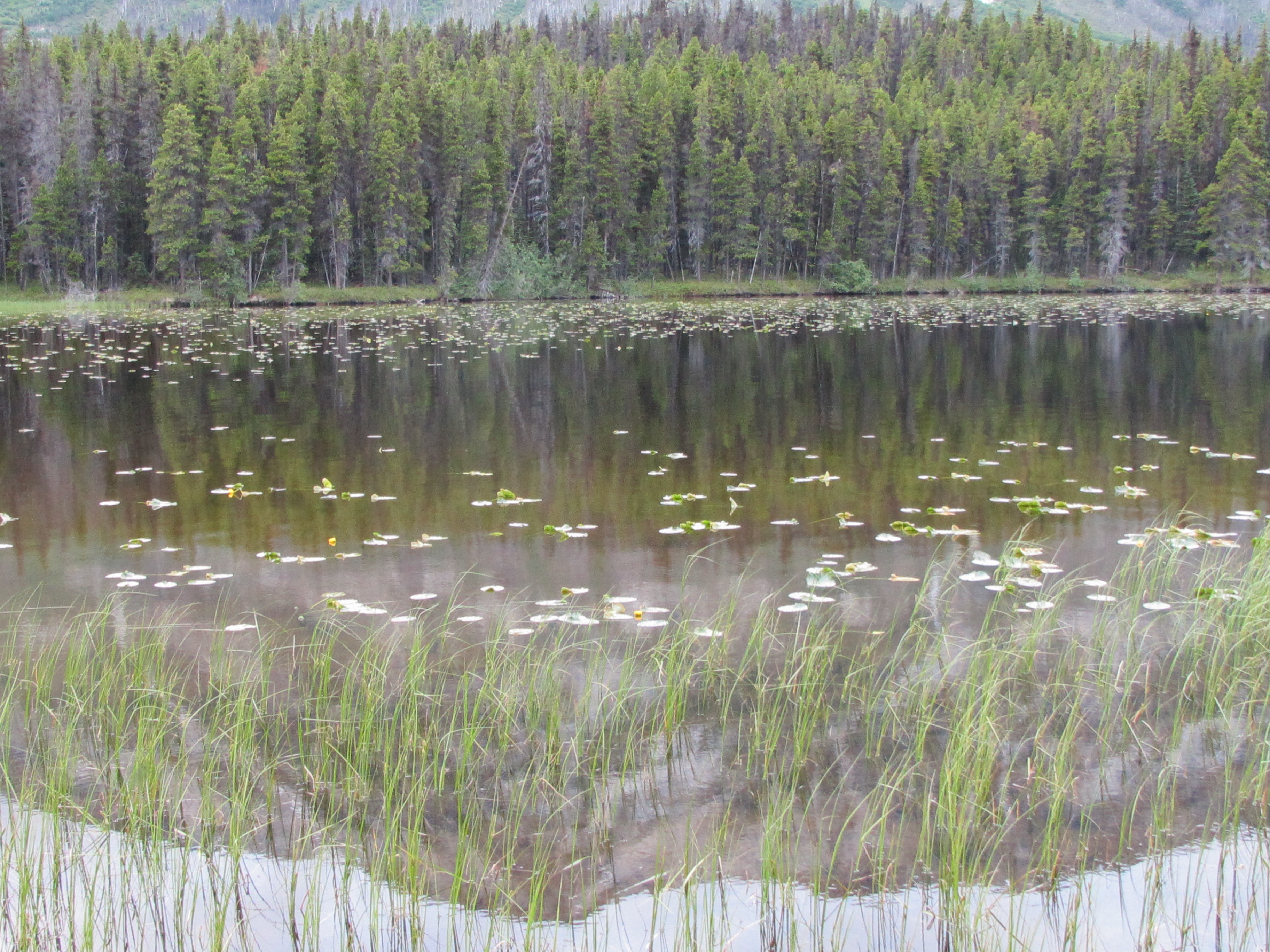
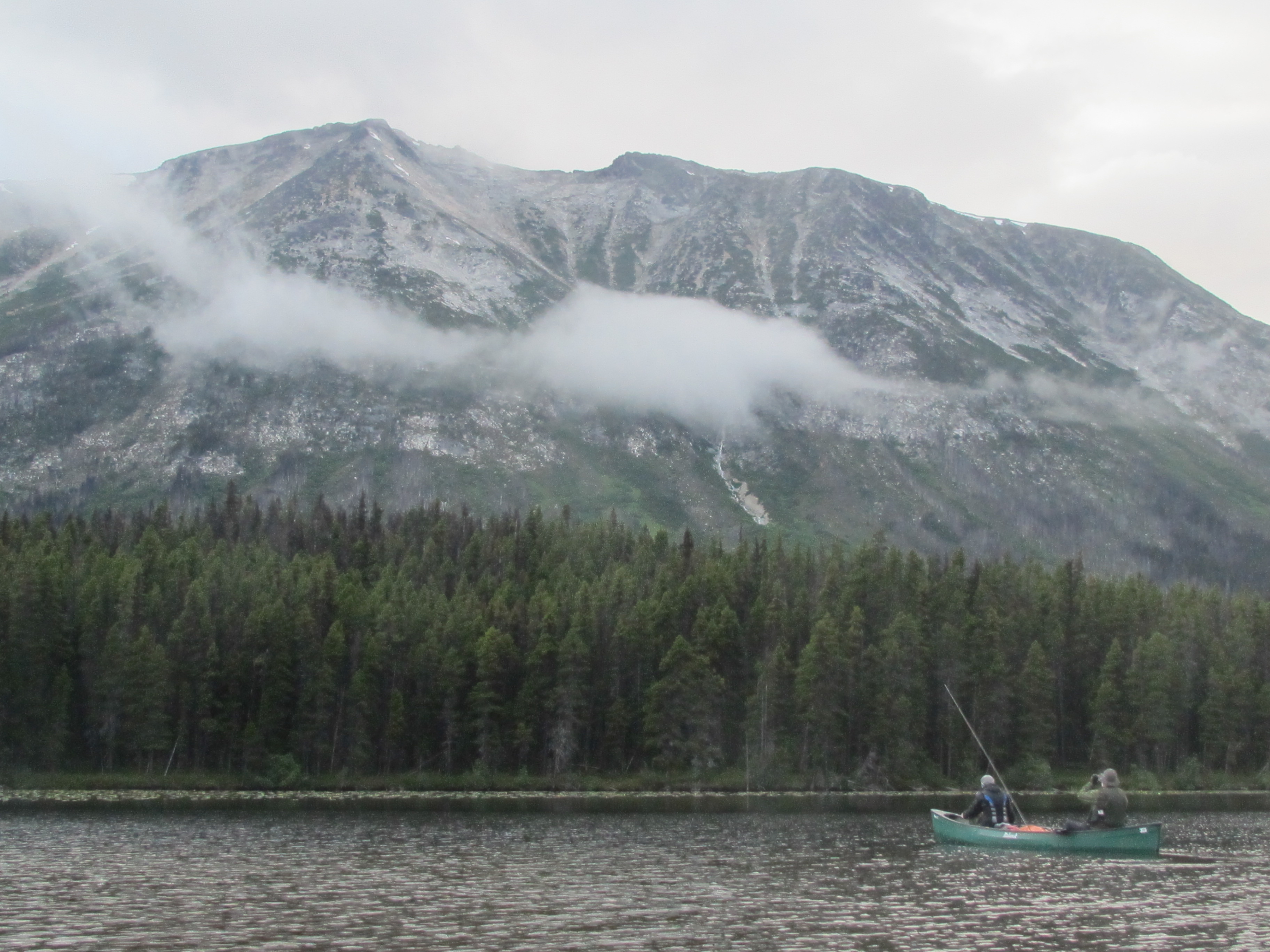
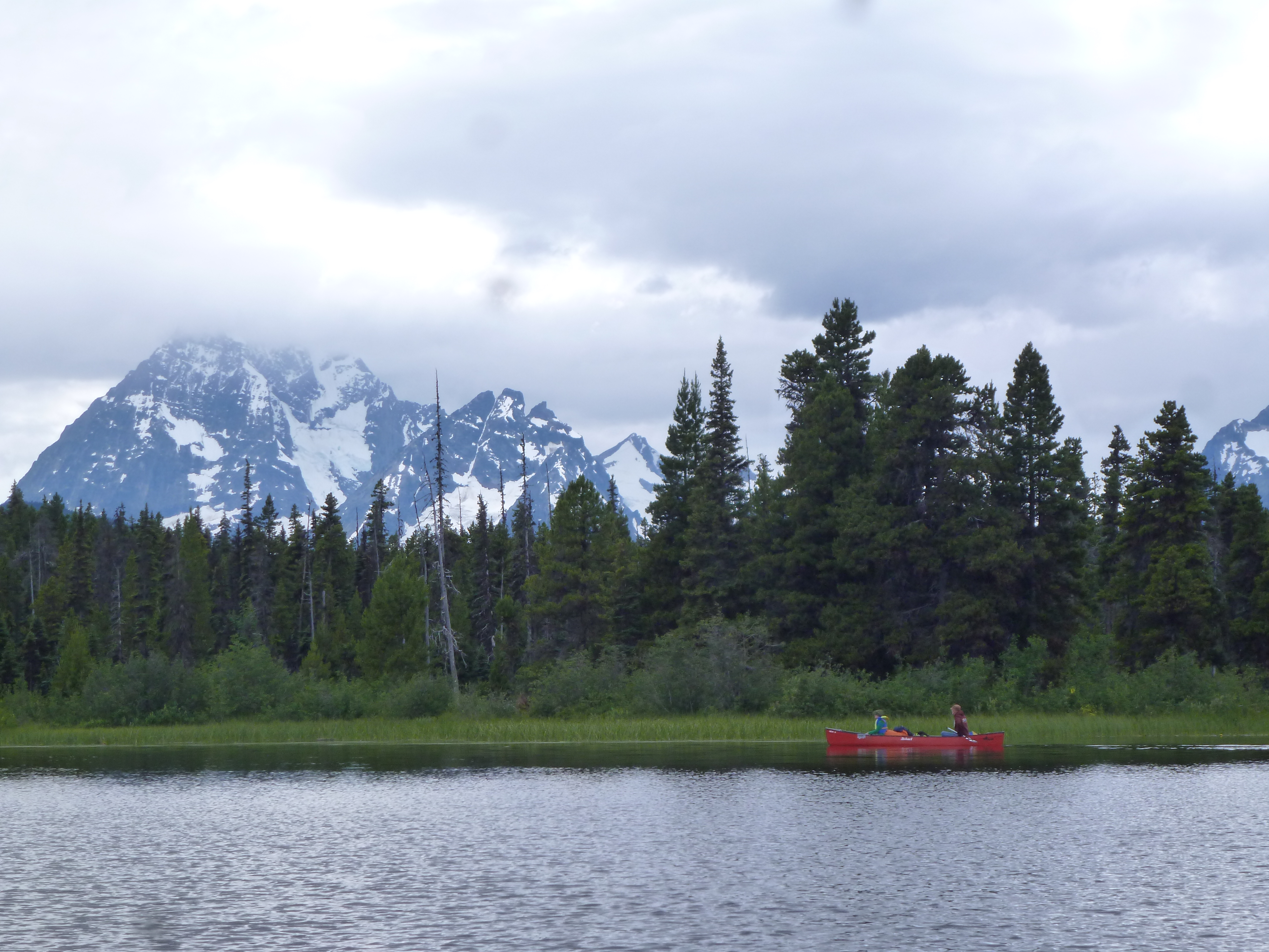
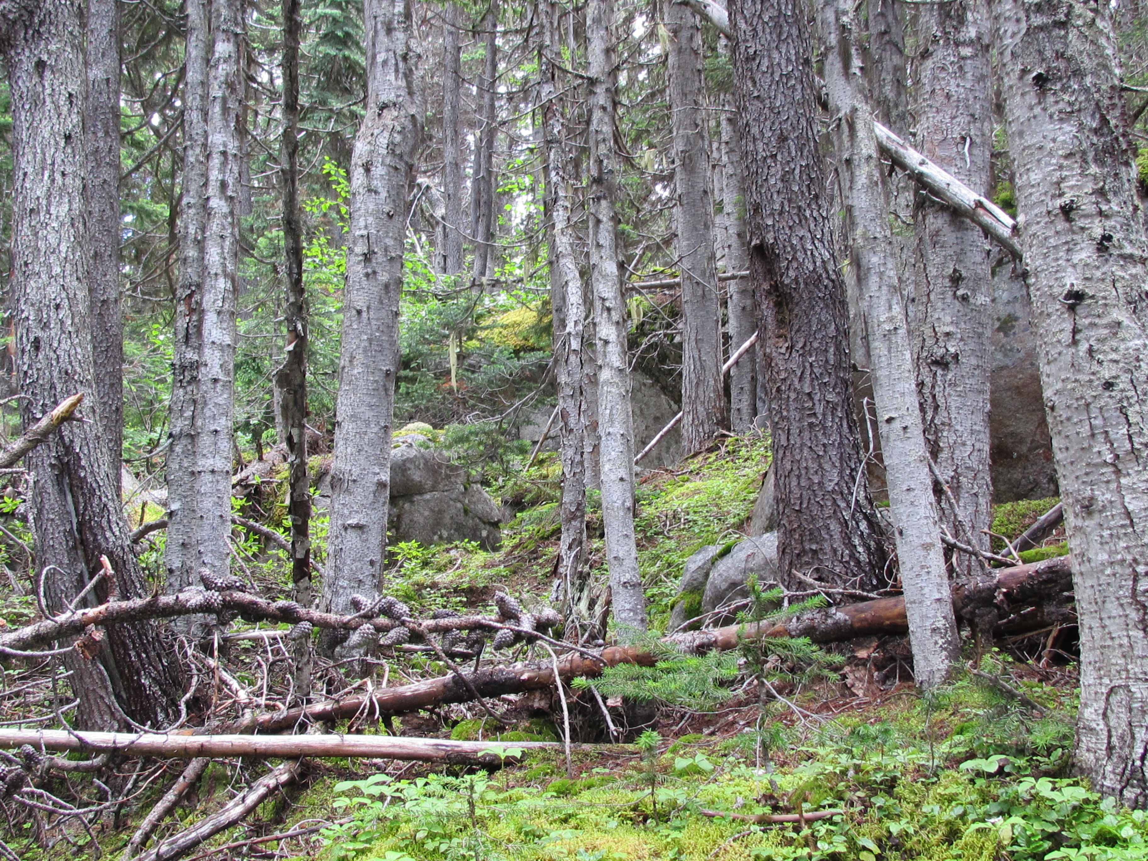
Related Photos:

IMG_2335
IMG_2336

IMG_2320
P1020373

P1020382

P1020354

P1020353

P1020359

P1020358

IMG_2235

P1020349

P1020350

P1020370

IMG_2323
IMG_2322

IMG_2234

P1020336

P1020346
IMG_2309

P1020345

IMG_2331
P1020335
IMG_2338
Topographic Map of Talchako R, Central Coast C, BC V0T, Canada
Find elevation by address:

Places near Talchako R, Central Coast C, BC V0T, Canada:
Ape Creek
Talchako Mountain
Central Coast C
Mount Ada
Ape Lake
Stuie
Tweedsmuir Park Lodge
Afon Talchako
The Horn
Stupendous Mountain
Snowside Mountain
Tweedsmuir South Provincial Park
Nusatsum Mountain
Thunder Mountain
Hagensborg
Recent Searches:
- Elevation of Corso Fratelli Cairoli, 35, Macerata MC, Italy
- Elevation of Tallevast Rd, Sarasota, FL, USA
- Elevation of 4th St E, Sonoma, CA, USA
- Elevation of Black Hollow Rd, Pennsdale, PA, USA
- Elevation of Oakland Ave, Williamsport, PA, USA
- Elevation of Pedrógão Grande, Portugal
- Elevation of Klee Dr, Martinsburg, WV, USA
- Elevation of Via Roma, Pieranica CR, Italy
- Elevation of Tavkvetili Mountain, Georgia
- Elevation of Hartfords Bluff Cir, Mt Pleasant, SC, USA