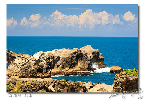
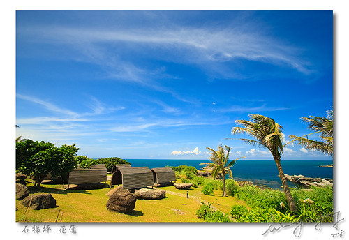
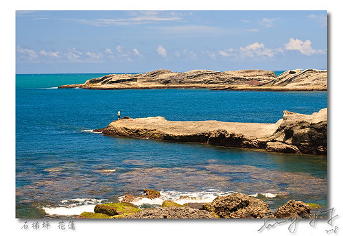
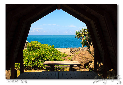
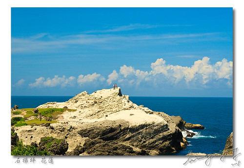
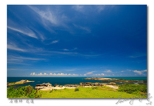
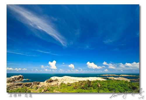
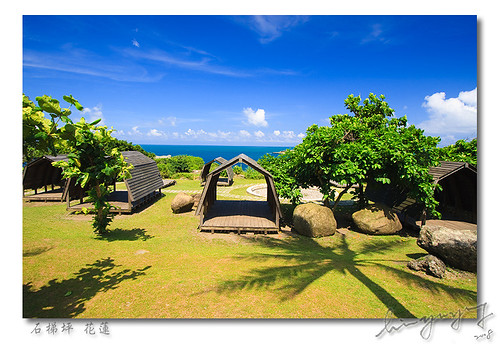
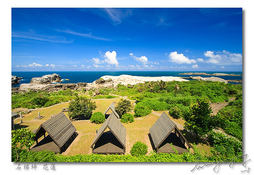
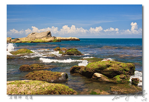
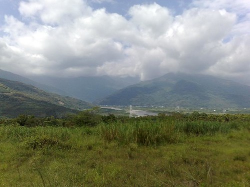
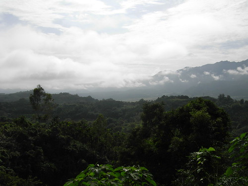
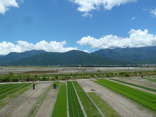
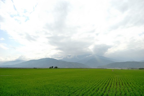
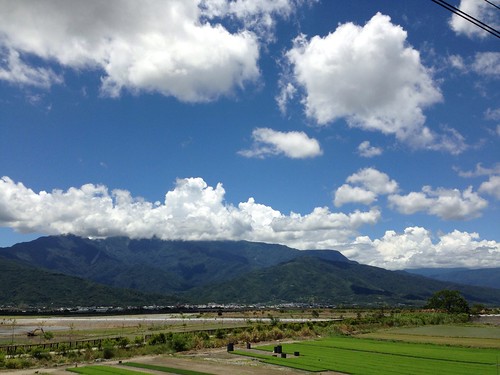
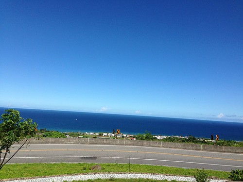
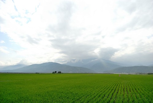
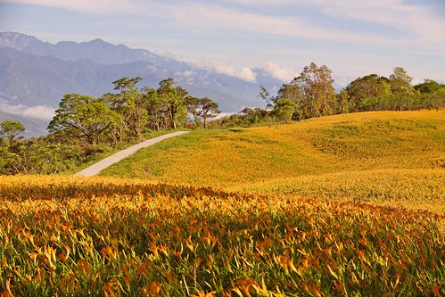
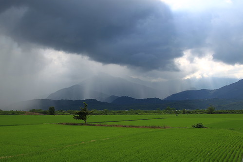
Elevation of Taiwan, Taitung County, Changbin Township, 花東海岸公路14號
Location: Taiwan > Taitung County > Changbin Township > 三間村 >
Longitude: 121.471465
Latitude: 23.3792449
Elevation: 10m / 33feet
Barometric Pressure: 101KPa
Related Photos:
Topographic Map of Taiwan, Taitung County, Changbin Township, 花東海岸公路14號
Find elevation by address:

Places near Taiwan, Taitung County, Changbin Township, 花東海岸公路14號:
三間村
Taiwan, Taitung County, Changbin Township, 花東海岸公路6號
Taiwan, Taitung County, Changbin Township, 13
樟原
樟原村
大峰峰
Taiwan, Taitung County, Changbin Township, 15
松浦里
Yuli Township
1-3
觀音里
德武里
No. 60, Lede Rd, Yuli Township, Hualien County, Taiwan
175-2
大港口
No., Lede Rd, Yuli Township, Hualien County, Taiwan
港口村
15-1
68-2
Taiwan, Hualien County, Ruisui Township, 20
Recent Searches:
- Elevation of Corso Fratelli Cairoli, 35, Macerata MC, Italy
- Elevation of Tallevast Rd, Sarasota, FL, USA
- Elevation of 4th St E, Sonoma, CA, USA
- Elevation of Black Hollow Rd, Pennsdale, PA, USA
- Elevation of Oakland Ave, Williamsport, PA, USA
- Elevation of Pedrógão Grande, Portugal
- Elevation of Klee Dr, Martinsburg, WV, USA
- Elevation of Via Roma, Pieranica CR, Italy
- Elevation of Tavkvetili Mountain, Georgia
- Elevation of Hartfords Bluff Cir, Mt Pleasant, SC, USA
