Elevation of Taiwan, 苗栗縣公館鄉石墻村
Location: Taiwan > Miaoli County > Gongguan Township >
Longitude: 120.818307
Latitude: 24.4770882
Elevation: 133m / 436feet
Barometric Pressure: 100KPa
Elevation Map:
Satellite Map:
Related Photos:
雲洞。苗栗 _IMG_9063

20150126-DSC04063

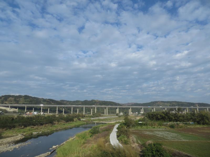
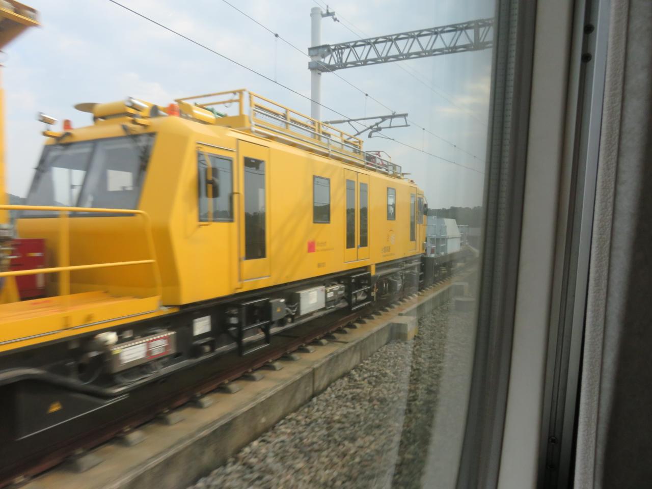
View From THSR Window

View From THSR Window
20150126-DSC03998

View From THSR Window

View From THSR Window

View From THSR Window

View From THSR Window

View Outside THSR Window
20150126-DSC04004
View From THSR Window

View From THSR Window

View From THSR Window
View From THSR Window

View From THSR Window

View From THSR Window

View From THSR Window

View From THSR Window
View Outside THSR Window

View From THSR Window

red clouds
香山濕地
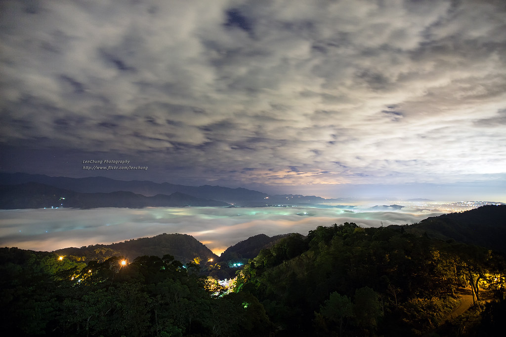
sunset at YunDon

YunDon 雲洞
Nearby My Home

the rays

cloud river

after sunset

月光琉璃(Neon night under the moonlight)

startrails at YunDon

#color #sky #ladder

雲洞 YunDong

瀰漫之間

ready for landing

黃金海岸 - Tainan

sea of clouds

sea of clouds under moonlight

IMG_4877.JPG

海山漁港 #4

cloud river
Topographic Map of Taiwan, 苗栗縣公館鄉石墻村
Find elevation by address:

Places in Taiwan, 苗栗縣公館鄉石墻村:
Places near Taiwan, 苗栗縣公館鄉石墻村:
Taiwan, Miaoli County, Gongguan Township
Taiwan, Miaoli County, Tongluo Township, 88
No., Ren'ai Industry Rd, Gongguan Township, Miaoli County, Taiwan
No. 61, Aixing St, Tongluo Township, Miaoli County, Taiwan
福星村
興隆村
No. 87, Zhongxing Road
194-3
中平村
中義村
銅鑼村
大坑
367-20
Gongguan Township
13-6
6-5
玉泉村
大坑村
Tongluo Township
Taiwan, Miaoli County, 公館鄉62
Recent Searches:
- Elevation of Corso Fratelli Cairoli, 35, Macerata MC, Italy
- Elevation of Tallevast Rd, Sarasota, FL, USA
- Elevation of 4th St E, Sonoma, CA, USA
- Elevation of Black Hollow Rd, Pennsdale, PA, USA
- Elevation of Oakland Ave, Williamsport, PA, USA
- Elevation of Pedrógão Grande, Portugal
- Elevation of Klee Dr, Martinsburg, WV, USA
- Elevation of Via Roma, Pieranica CR, Italy
- Elevation of Tavkvetili Mountain, Georgia
- Elevation of Hartfords Bluff Cir, Mt Pleasant, SC, USA