Elevation of Taiwan, 台東縣長濱鄉城子埔
Location: Taiwan > Taitung County > Changbin Township > 長濱村 >
Longitude: 121.462209
Latitude: 23.335376
Elevation: 35m / 115feet
Barometric Pressure: 101KPa
Elevation Map:
Satellite Map:
Related Photos:

Hide and Seek
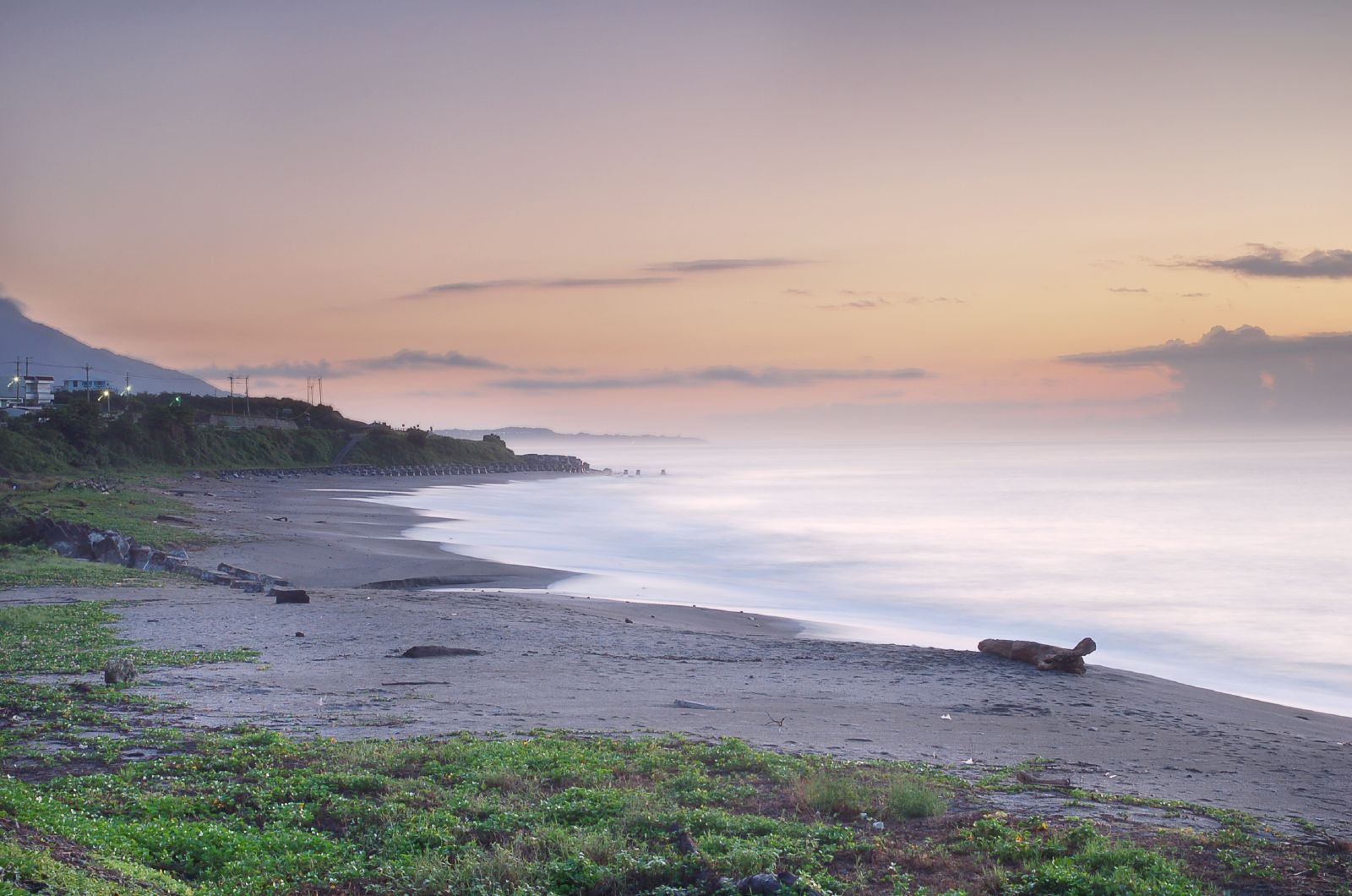
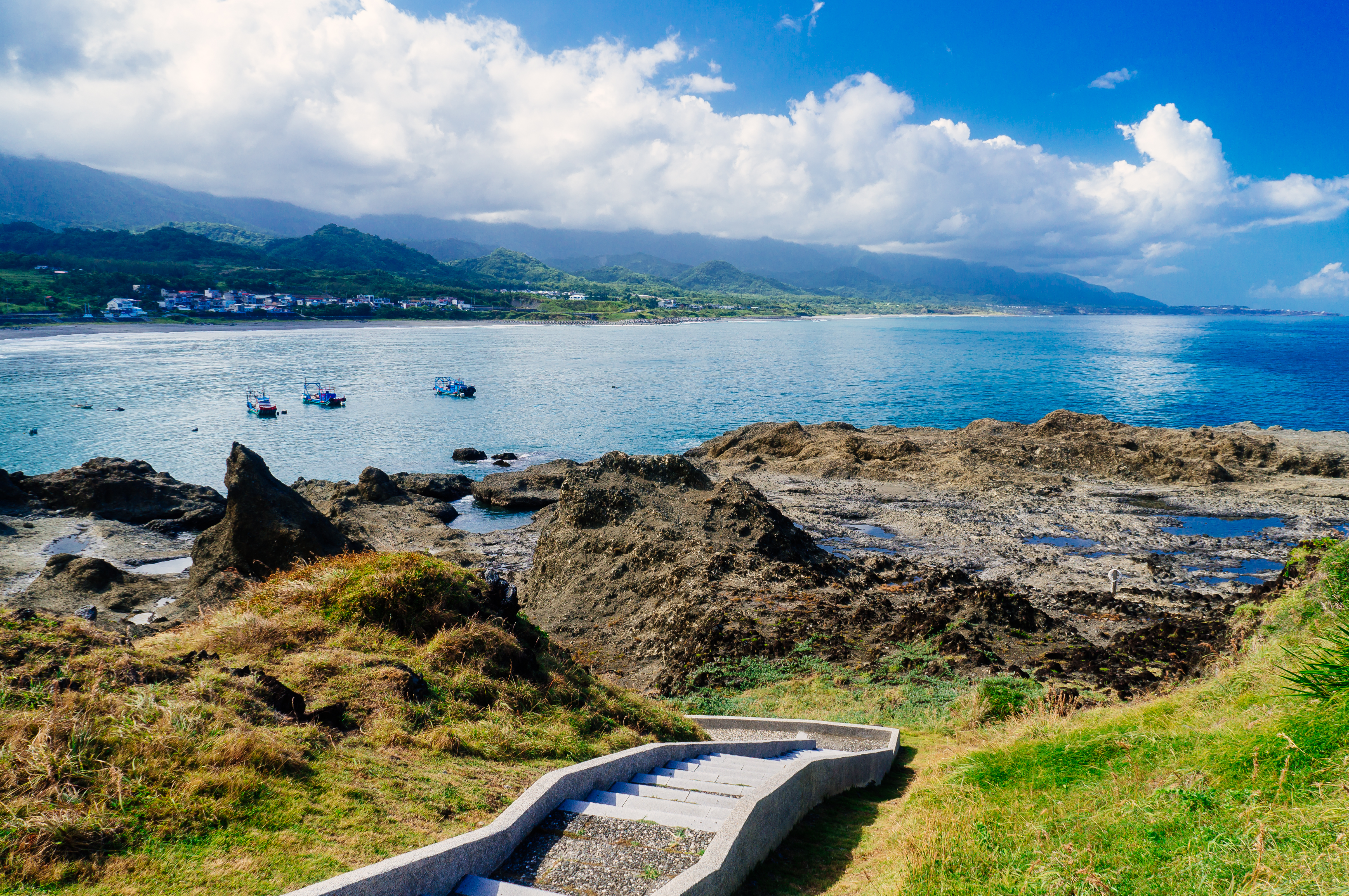
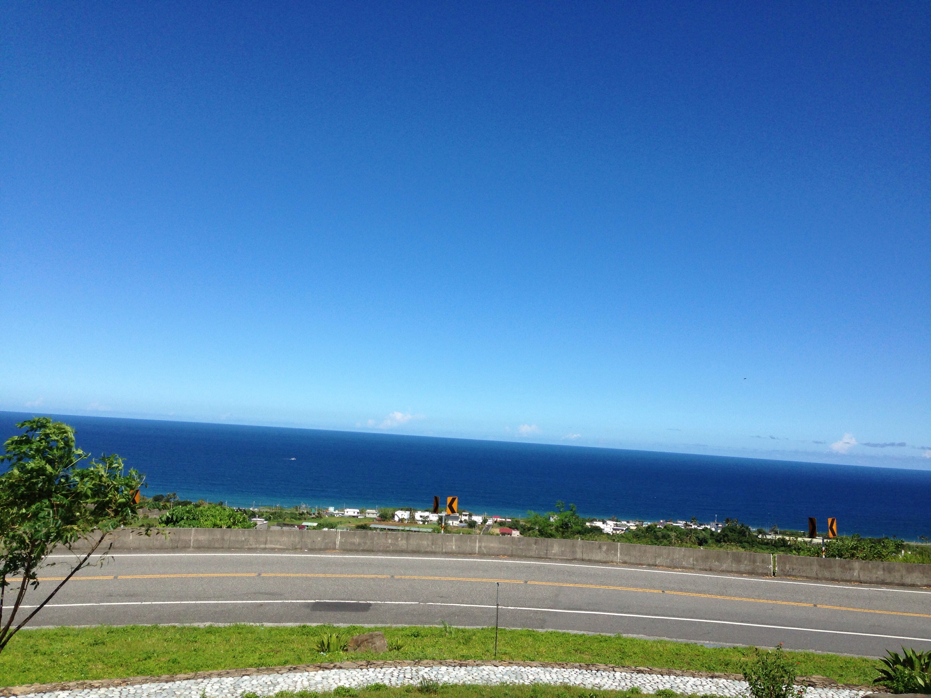
Dreamy Beach

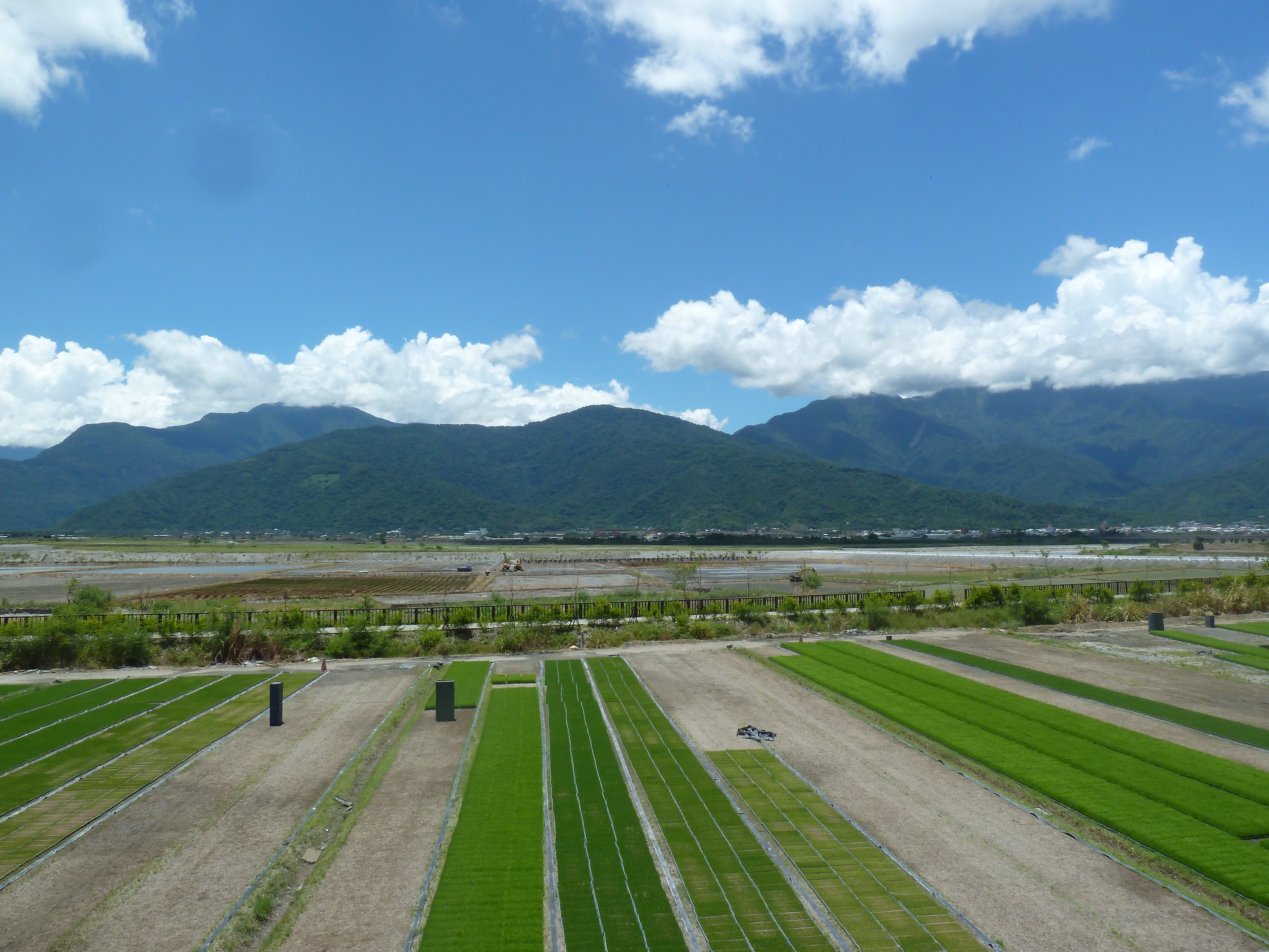
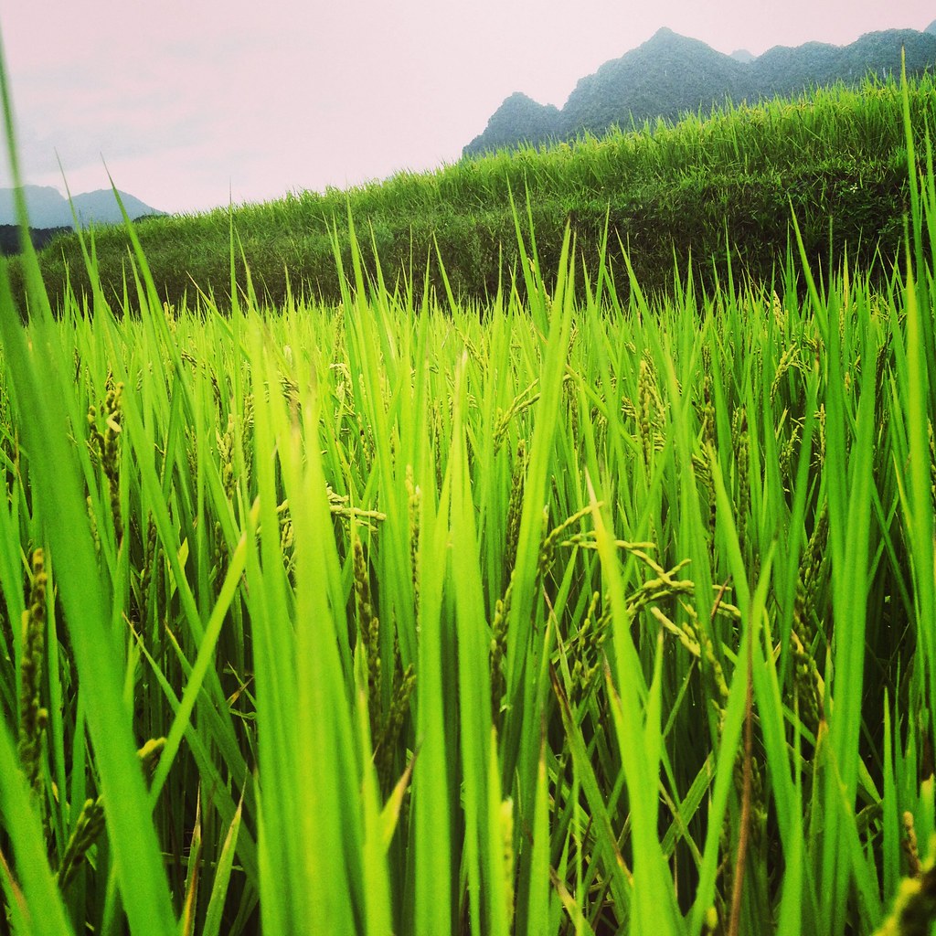
Farm in the harvest close to the coastline

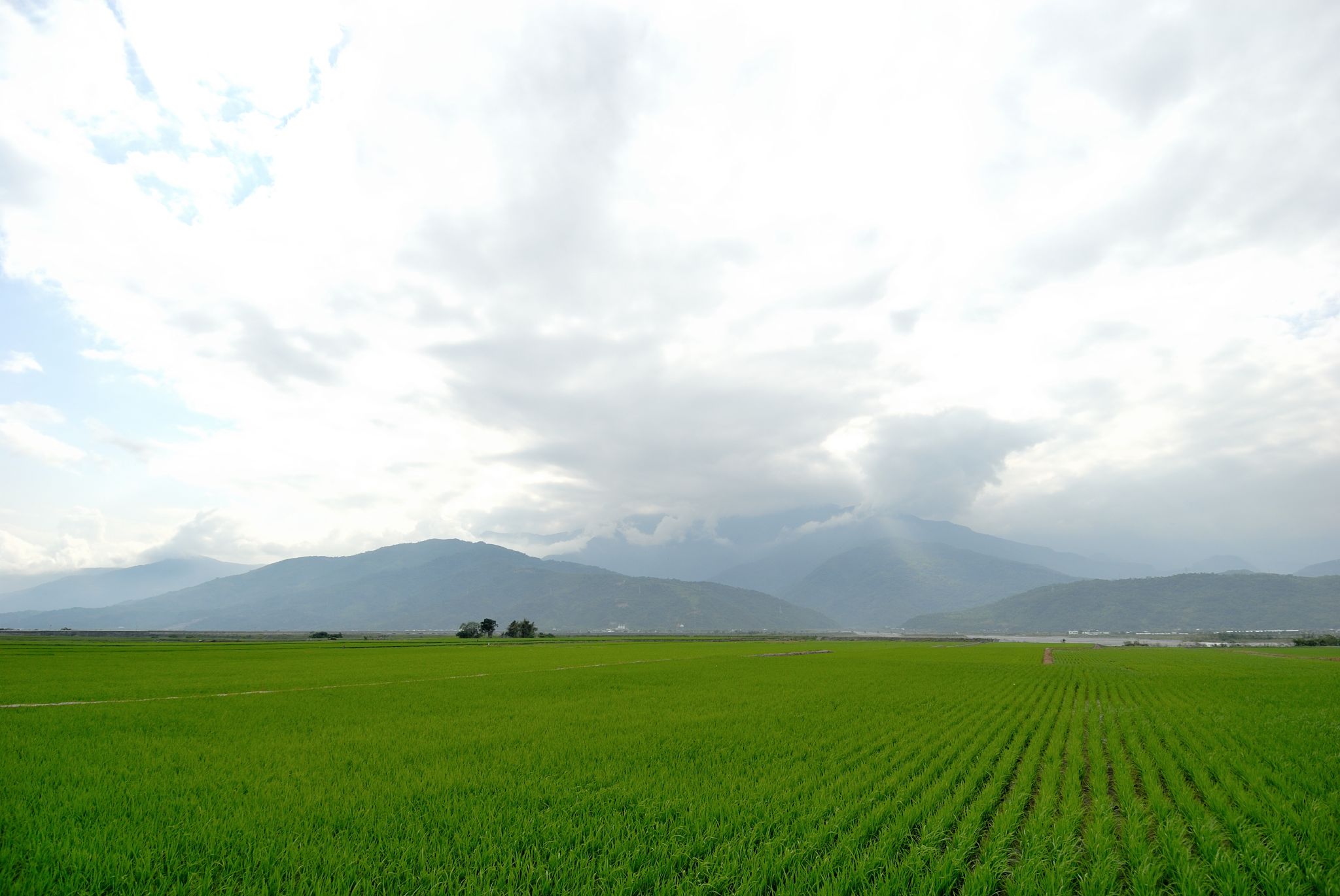
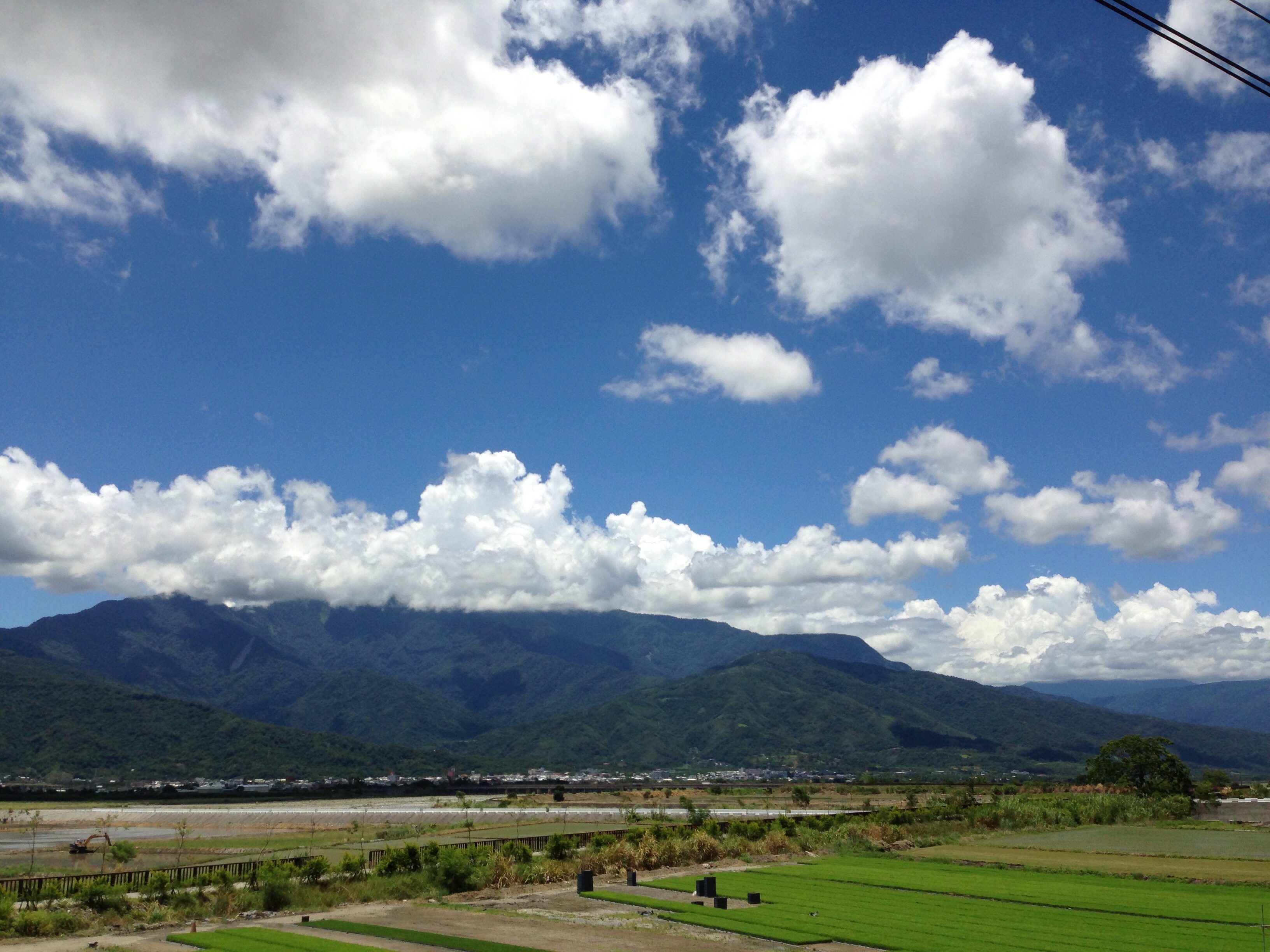
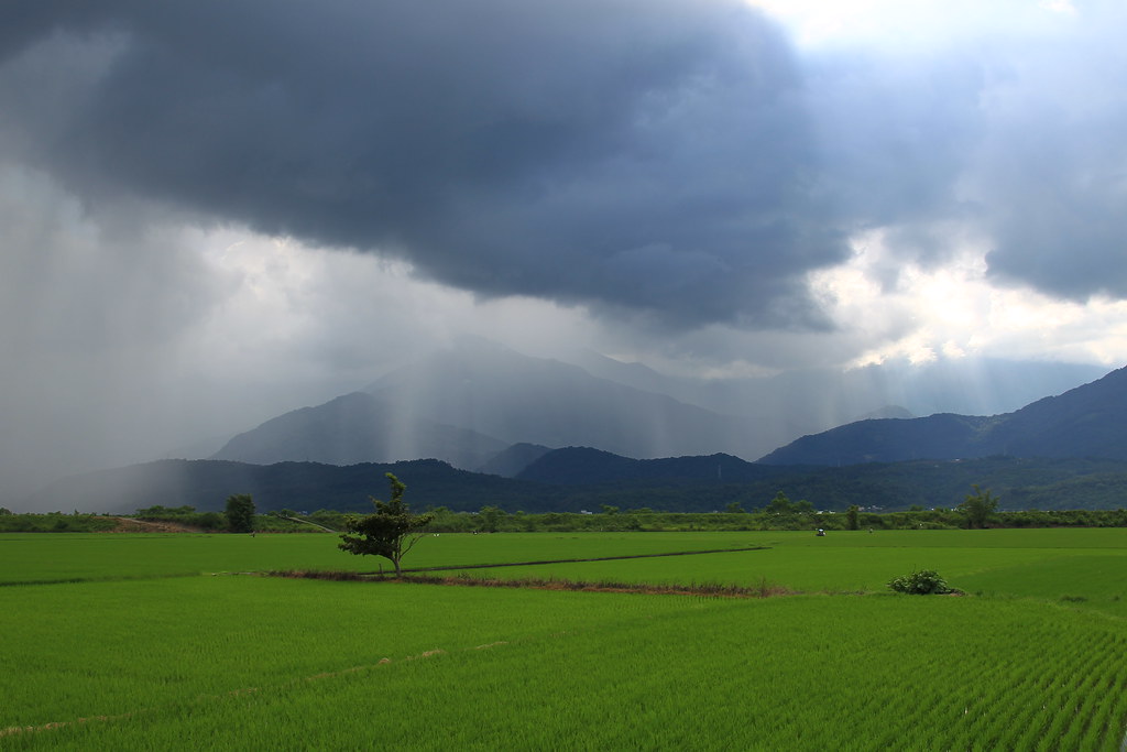
The first view of the eastern rift valley
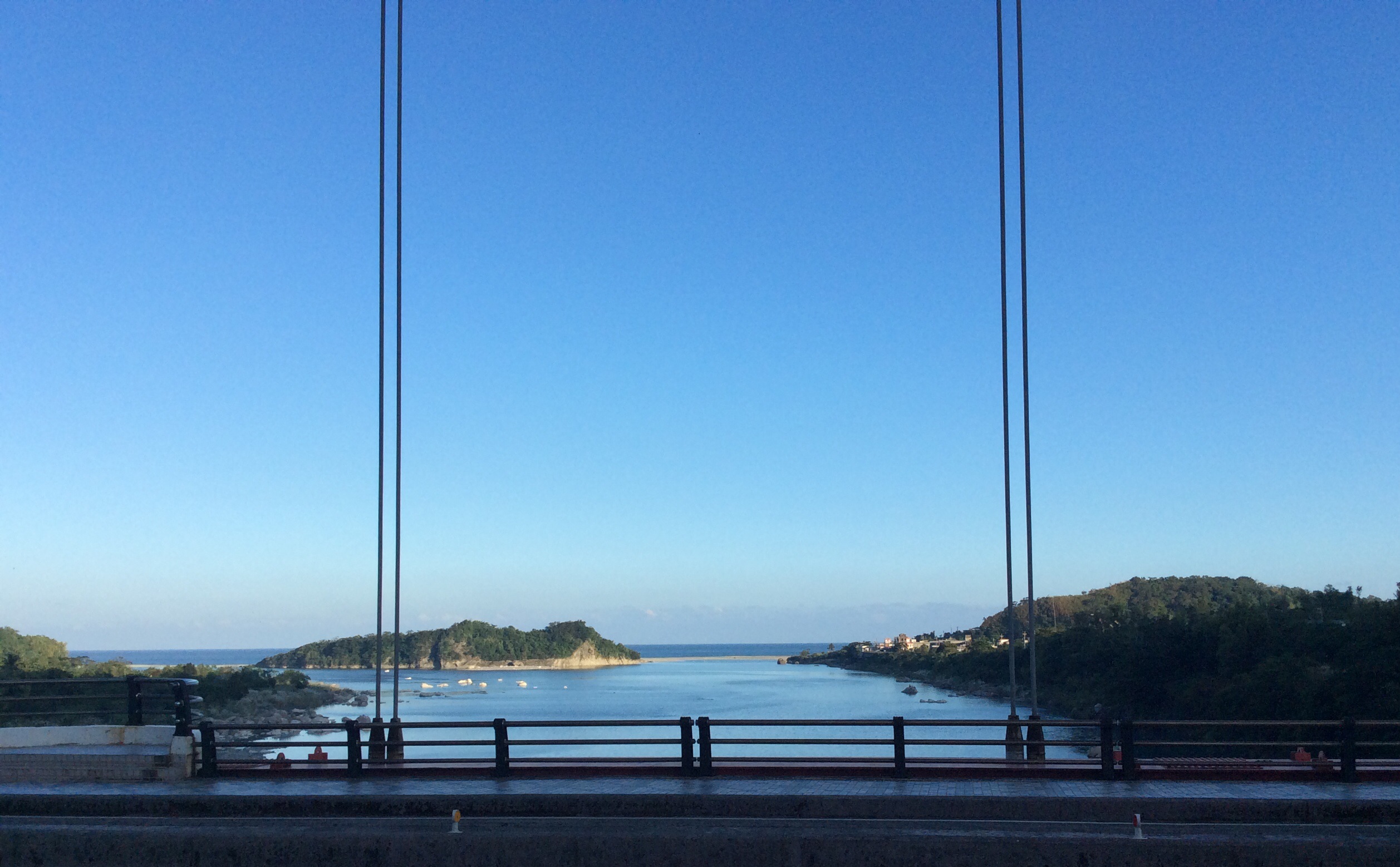
Bridge view
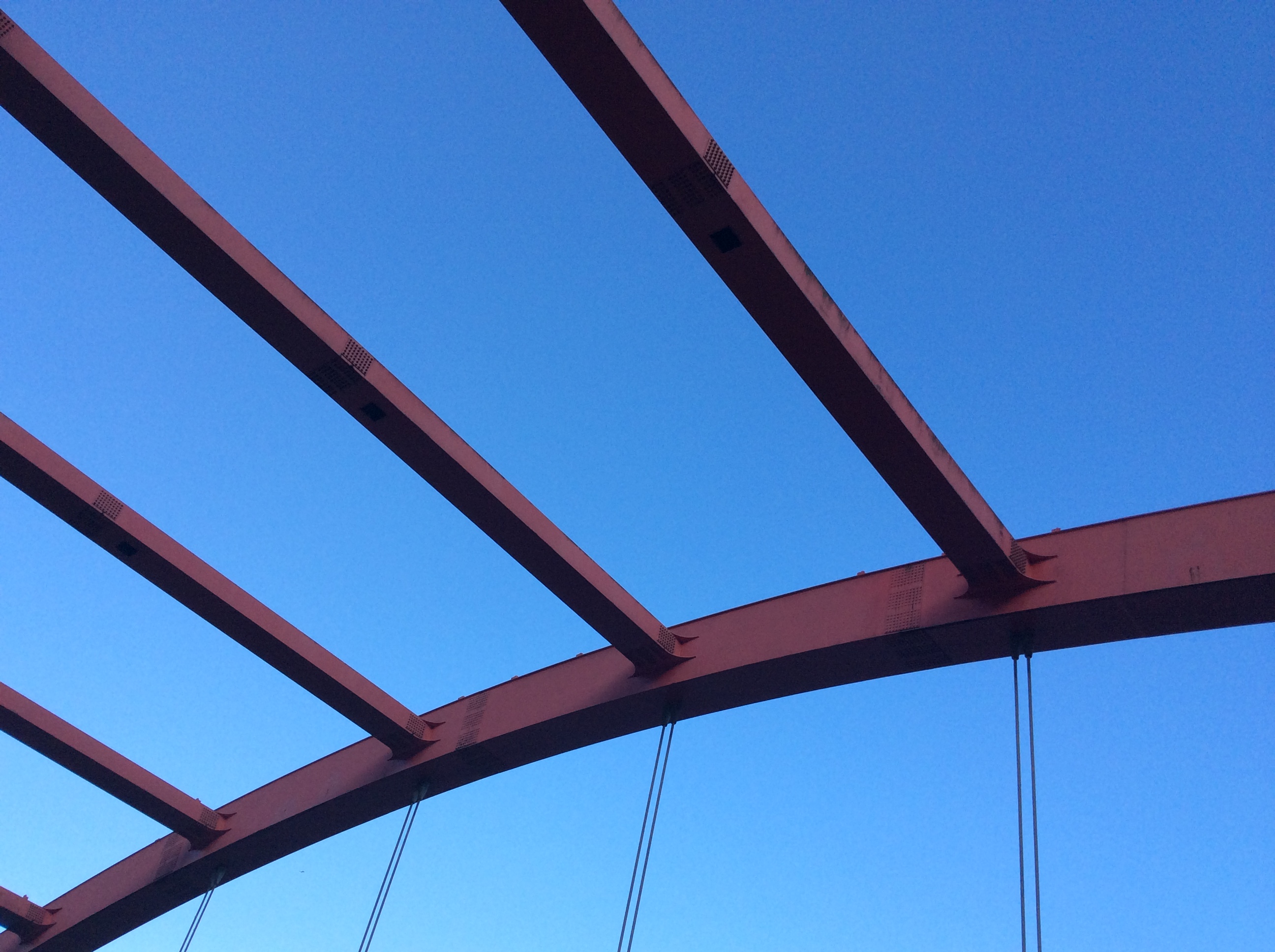
Bridge view

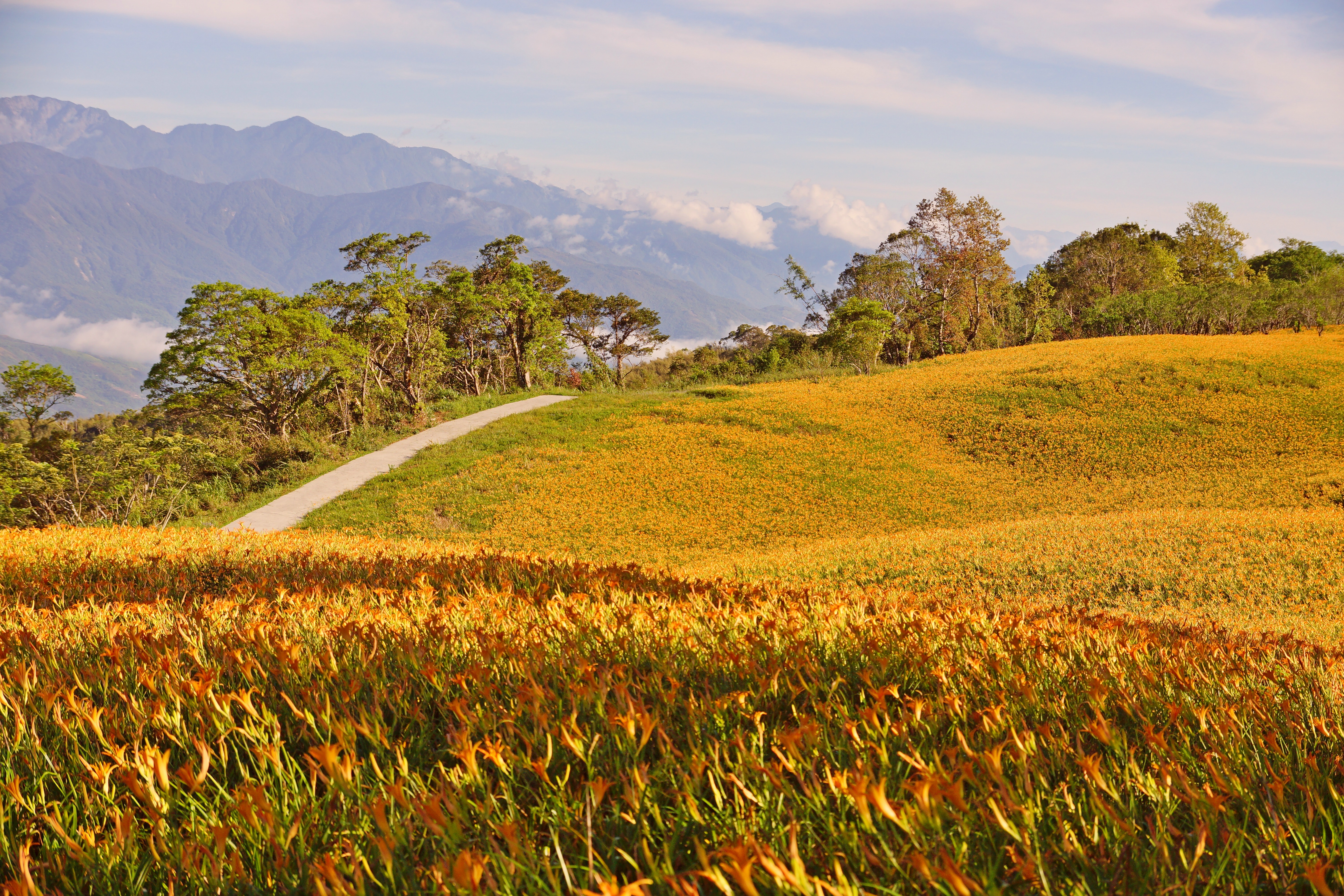
赤科山
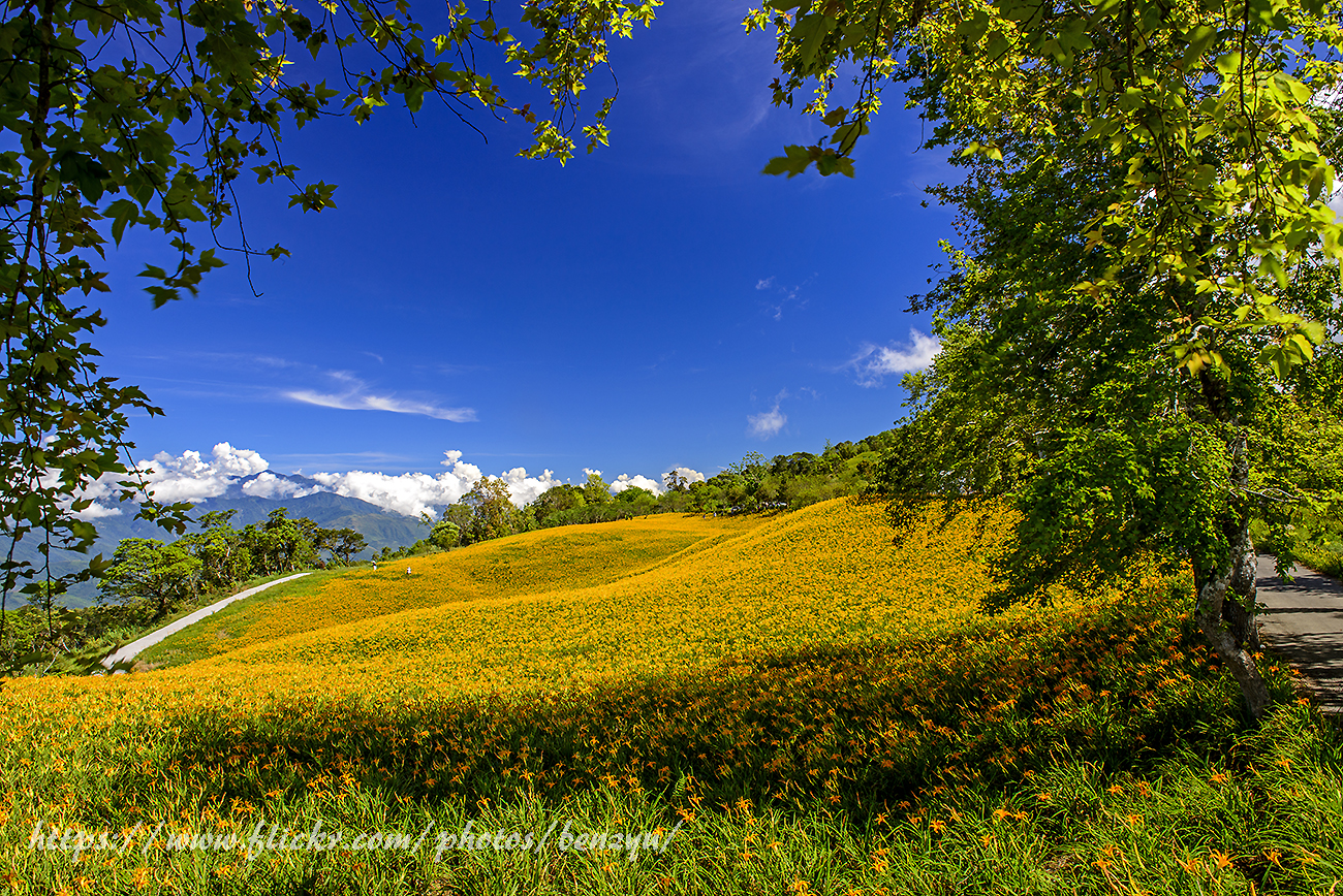
赤科山印象
烏石鼻

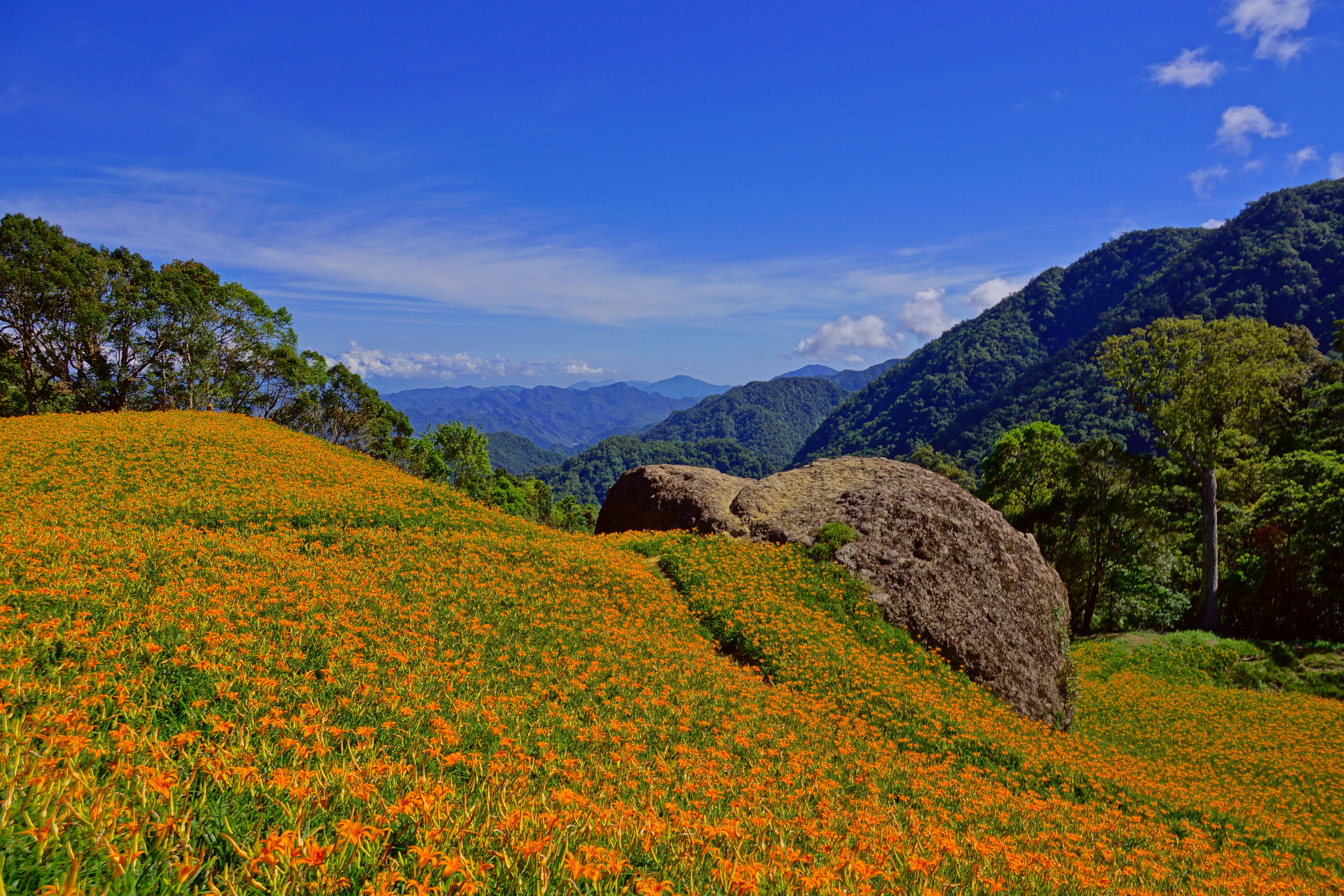
赤科山_採金針(daylily)
2013環島五勇士--Day5

2013環島五勇士--Day5
20110415_1526-DS2_7595
20140823_赤科山金針花
2013環島五勇士--Day5

滿坑滿谷金針花

DSC04976.jpg
東台灣
2013環島五勇士--Day5

20110415_1526-DS2_7595

DSC04975.jpg
2013環島五勇士--Day5
東下西上環ㄉㄠˇ

DSC04971.jpg
20140824_赤科山金針花

DSC04970.jpg
美麗的193縣道
Topographic Map of Taiwan, 台東縣長濱鄉城子埔
Find elevation by address:

Places in Taiwan, 台東縣長濱鄉城子埔:
Places near Taiwan, 台東縣長濱鄉城子埔:
8-8
長濱村
Taiwan, Taitung County, Changbin Township, 38
三間屋
Taiwan, Taitung County, Changbin Township, 58
Changbin Township
Taiwan, Taitung County, Changbin Township, 花東海岸公路51號
Taiwan, Taitung County, Changbin Township, 41
Taiwan, Taitung County, Changbin Township, 花東海岸公路21號
竹湖村
Taiwan, Taitung County, Changbin Township, 49
東豐里
八桑安
東部海岸國家風景區遼望台
樂合里
Taiwan, Taitung County, Changbin Township, 6
玉長隧道
寧埔村
No., Lede Rd, Yuli Township, Hualien County, Taiwan
No., Yuehe Rd, Yuli Township, Hualien County, Taiwan
Recent Searches:
- Elevation of Corso Fratelli Cairoli, 35, Macerata MC, Italy
- Elevation of Tallevast Rd, Sarasota, FL, USA
- Elevation of 4th St E, Sonoma, CA, USA
- Elevation of Black Hollow Rd, Pennsdale, PA, USA
- Elevation of Oakland Ave, Williamsport, PA, USA
- Elevation of Pedrógão Grande, Portugal
- Elevation of Klee Dr, Martinsburg, WV, USA
- Elevation of Via Roma, Pieranica CR, Italy
- Elevation of Tavkvetili Mountain, Georgia
- Elevation of Hartfords Bluff Cir, Mt Pleasant, SC, USA