Elevation of Taiwan, 屏東縣三地門鄉三地村
Location: Taiwan > Pingtung County > Sandimen Township >
Longitude: 120.660253
Latitude: 22.7284079
Elevation: 657m / 2156feet
Barometric Pressure: 94KPa
Elevation Map:
Satellite Map:
Related Photos:

因棧道施工,只能遠望涓涓細流。 Waterfall Mountain View Trees at 涼山瀑布

Mountain View Trees at 涼山瀑布
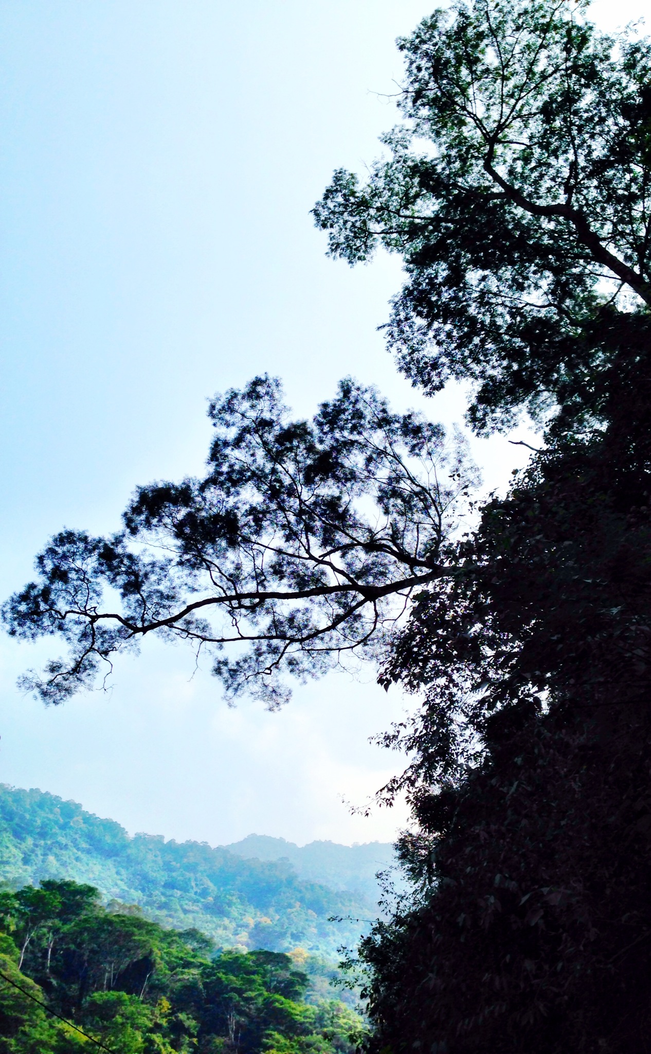
Trees Mountain View Landscape 橫生枝節 at 涼山瀑布

一個很像土地公廟的建築

20150226-DSC04381
20150226-DSC04386
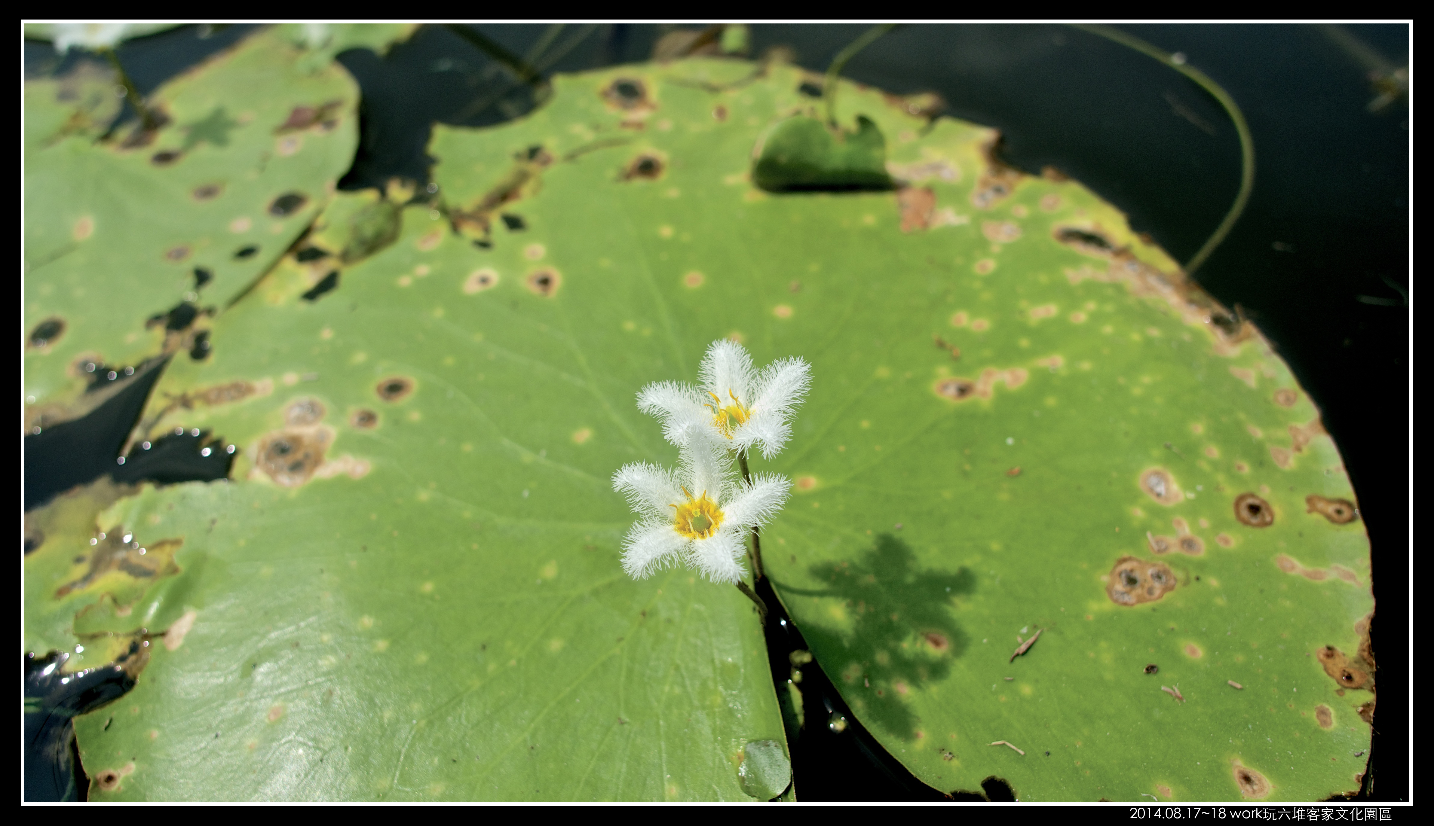
P8170058 (1)
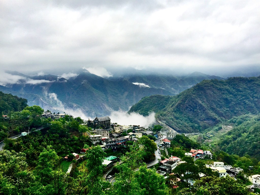
戀戀山城~霧台
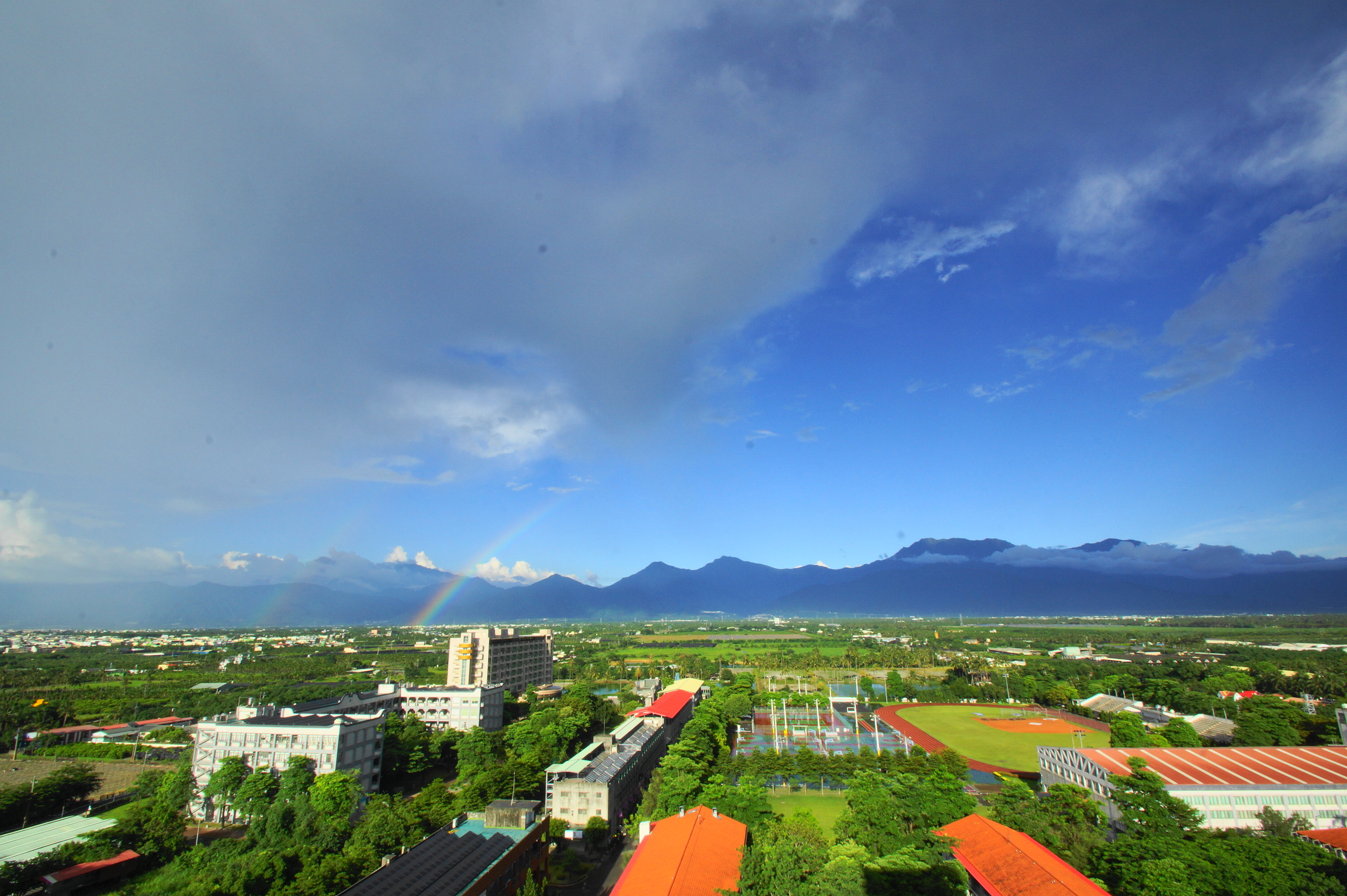
雨後的彩虹

2016-02-03_02-21-43

2016-May-01 尾寮山登山步道

朝露

Liang Shan waterfall, Pington, Taiwan.

P_20141024_054438_HDR.jpg
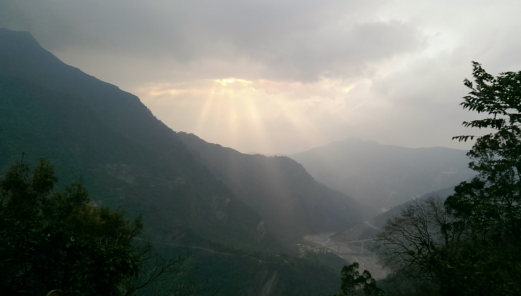
斜射光
20140209霧臺

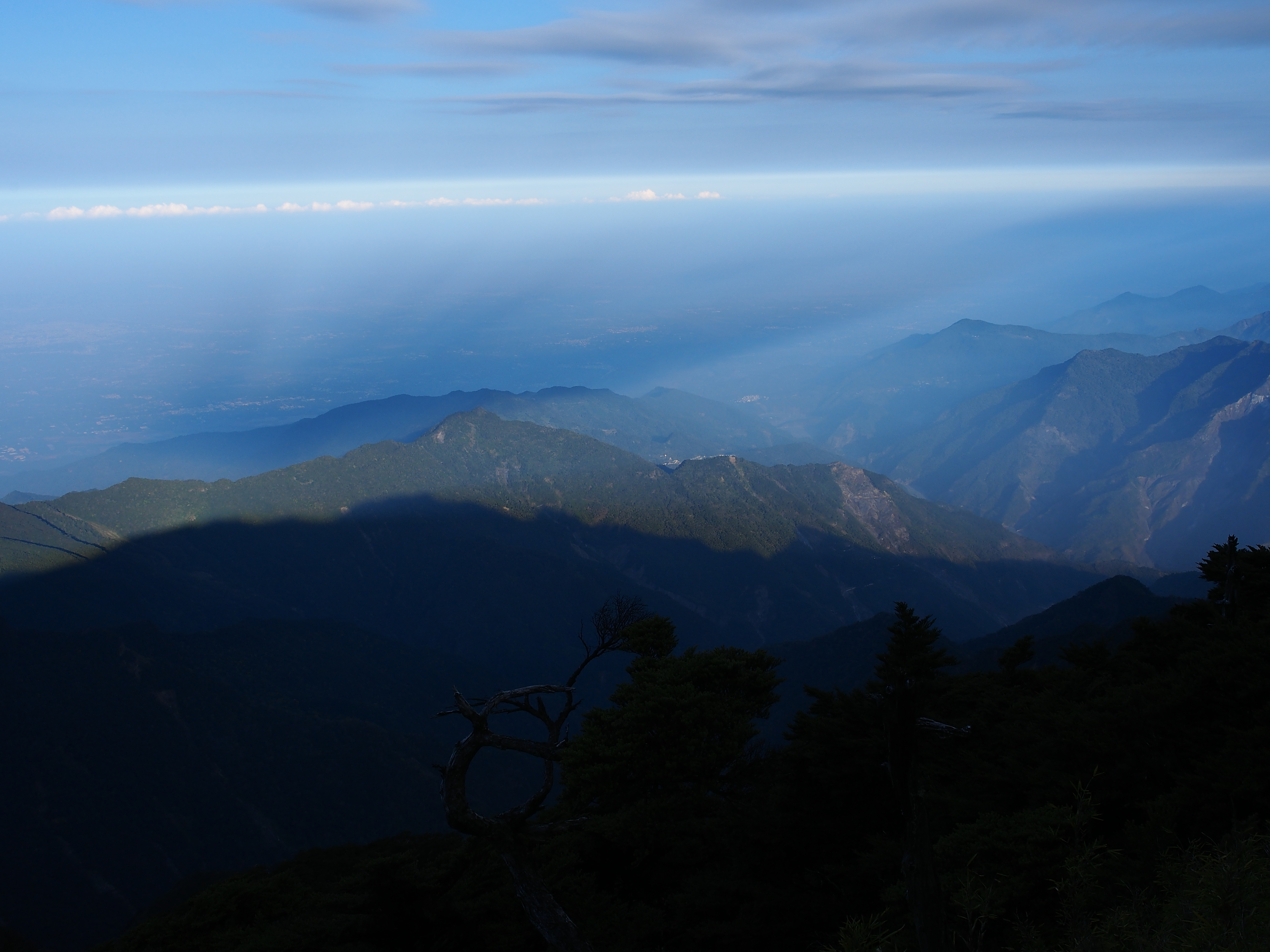
山湖觀
Topographic Map of Taiwan, 屏東縣三地門鄉三地村
Find elevation by address:

Places in Taiwan, 屏東縣三地門鄉三地村:
Places near Taiwan, 屏東縣三地門鄉三地村:
No. 52, Section 1, Zhongzheng Rd, Sandimen Township, Pingtung County, Taiwan
賽嘉村
Taiwan, Pingtung County, Sandimen Township, 賽嘉巷38號
廣興村
No., Section 2, Qingliang Rd, Neipu Township, Pingtung County, Taiwan
口社村
Taiwan, Pingtung County, Sandimen Township, 信義巷1號
No. 65, Zhongshan Rd, Gaoshu Township, Pingtung County, Taiwan
No. 3, Sanhe Rd, Yanpu Township, Pingtung County, Taiwan
隘寮村
Majia Township
No. 44, Jiama Rd, Majia Township, Pingtung County, Taiwan
德文村
Taiwan, Pingtung County, Majia Township, 18
霧台村
No. 21, Jinlong Rd, Yanpu Township, Pingtung County, Taiwan
Taiwan, Pingtung County, Sandimen Township, 德文巷3號
黎明村
久愛村
瑪家村
Recent Searches:
- Elevation of Corso Fratelli Cairoli, 35, Macerata MC, Italy
- Elevation of Tallevast Rd, Sarasota, FL, USA
- Elevation of 4th St E, Sonoma, CA, USA
- Elevation of Black Hollow Rd, Pennsdale, PA, USA
- Elevation of Oakland Ave, Williamsport, PA, USA
- Elevation of Pedrógão Grande, Portugal
- Elevation of Klee Dr, Martinsburg, WV, USA
- Elevation of Via Roma, Pieranica CR, Italy
- Elevation of Tavkvetili Mountain, Georgia
- Elevation of Hartfords Bluff Cir, Mt Pleasant, SC, USA