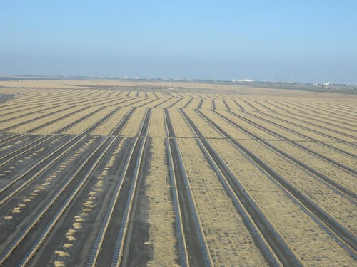
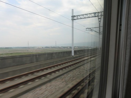
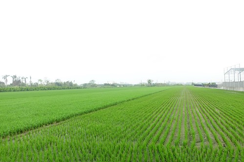
Elevation of Taiwan, 彰化縣埤頭鄉埤頭村
Location: Taiwan > Changhua County > Pitou Township >
Longitude: 120.474645
Latitude: 23.8914508
Elevation: 26m / 85feet
Barometric Pressure: 101KPa
Related Photos:
Topographic Map of Taiwan, 彰化縣埤頭鄉埤頭村
Find elevation by address:

Places in Taiwan, 彰化縣埤頭鄉埤頭村:
Places near Taiwan, 彰化縣埤頭鄉埤頭村:
No., Zhongnan Rd, Pitou Township, Changhua County, Taiwan
No., Douyuan W Rd, Pitou Township, Changhua County, Taiwan
Pitou Township
合興村
No. 91, Dabu Rd, Pitou Township, Changhua County, Taiwan
元埔村
永豊村
仁里村
No., Dongxi Rd, Pitou Township, Changhua County, Taiwan
新庄村
No., Xinzhuang Rd, Pitou Township, Changhua County, Taiwan
Taiwan, Changhua County, Tianwei Township, 後莊巷59號
No., Sanhao Rd, Beidou Township, Changhua County, Taiwan
Taiwan, Changhua County, Erlin Township, 彰-1鄉道17號
大湖村
No., Dahu Rd, Pitou Township, Changhua County, Taiwan
中寮里
東華里
尾厝村
No., Yuanzhu Rd, Erlin Township, Changhua County, Taiwan
Recent Searches:
- Elevation of Corso Fratelli Cairoli, 35, Macerata MC, Italy
- Elevation of Tallevast Rd, Sarasota, FL, USA
- Elevation of 4th St E, Sonoma, CA, USA
- Elevation of Black Hollow Rd, Pennsdale, PA, USA
- Elevation of Oakland Ave, Williamsport, PA, USA
- Elevation of Pedrógão Grande, Portugal
- Elevation of Klee Dr, Martinsburg, WV, USA
- Elevation of Via Roma, Pieranica CR, Italy
- Elevation of Tavkvetili Mountain, Georgia
- Elevation of Hartfords Bluff Cir, Mt Pleasant, SC, USA
