Elevation of Taiwan, 彰化縣花壇鄉崙雅村

Location: Taiwan > Changhua County > Huatan Township >

Longitude: 120.526470

Latitude: 24.0327269

Elevation: 17m / 56feet

Barometric Pressure: 101KPa

Elevation Map:

elevation map of Taiwan, 彰化縣花壇鄉崙雅村

Satellite Map:

Satellite map of Taiwan, 彰化縣花壇鄉崙雅村

Related Photos:

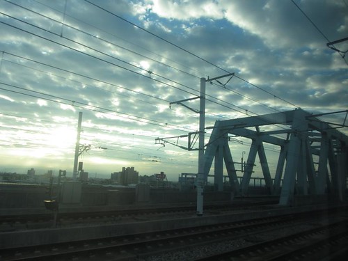
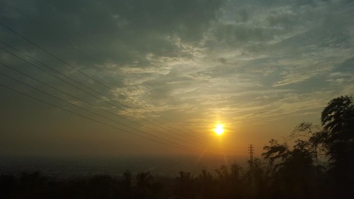
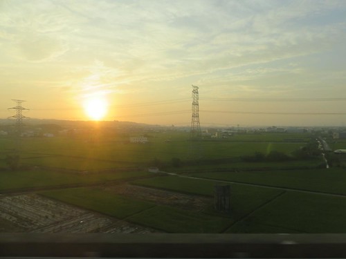
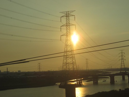
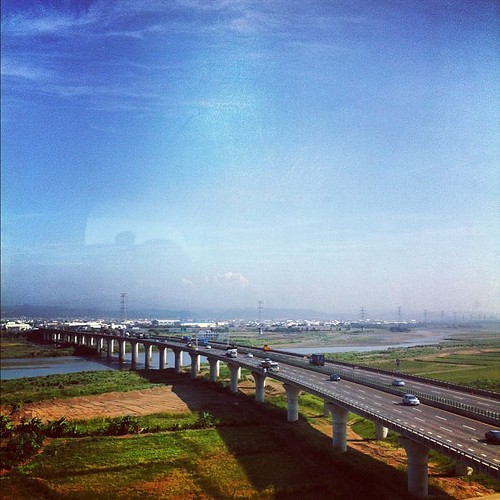
View From THSR Window
longexposure panorama lowlight taiwan taichung nightview nightphoto 24mm formosa 台灣 臺灣 afterdark 台中 台湾 nightimage 100crop 臺中 panoramaview 台中市 望高寮 taichungcity 台中夜景 臺中市 台灣夜景 南屯區 nantundistrict 望高寮夜景公園 臺灣夜景 臺中夜景 臺中盆地 中台路 王田里 zhongtaird
"100% Crop" 望高寮夜景公園 / Panorama view
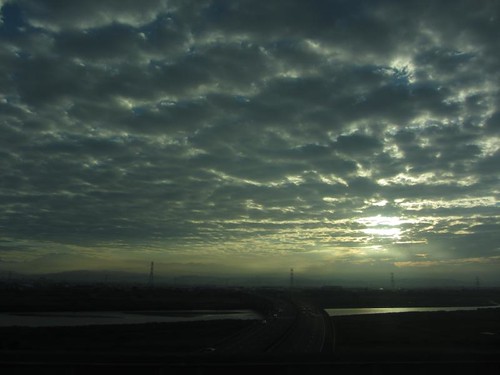
Sunset (View From THSR Window)
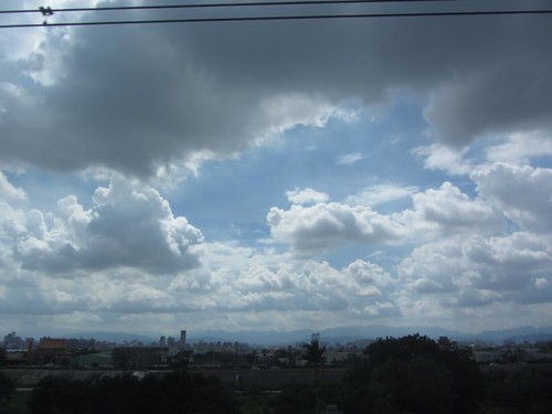
View From THSR Window
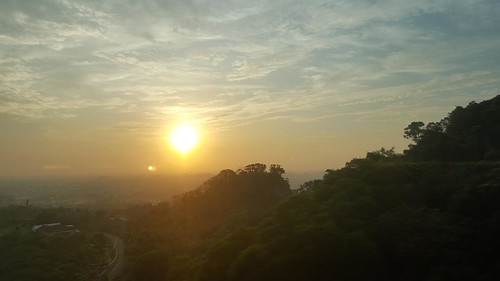
Sunset (View From THSR Window)
View From THSR Window
Sunset (View From THSR Window)
View From THSR Window
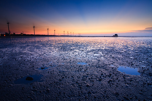
sunset red sea reflection beach windmill silhouette clouds coast boat sand power wind ripple tide taiwan 夕陽 台灣 wetland turbines 彰化 船 changhua 漁港 風車 海邊 風力發電 沙灘 海水 蚵農 肉粽角 彰濱工業區 牡礪 沙紋 海上屋 綠能
留下的藍調
square squareformat iphoneography instagramapp uploaded:by=instagram
例行性發呆
彰濱工業區 彰化 台灣 夕陽 海水 肉粽角 taiwan sunset beach coast changhua clouds 沙灘 海邊 漁港 船 boat reflection sand 沙紋 蚵農 ripple silhouette 牡礪 海上屋 枯木 風車 風力發電 綠能 windmill wind power
今日海上屋
sunset sea sky sun reflection water windmill canon landscape ray taiwan explore 夕陽 台灣 日落 風景 hy windturbine bai crepuscular 彰化 changhua 風車 耶穌光 佛光 彰濱 explored 西濱 肉粽角 霞光 彰濱工業區 風景攝影 hsienhsi 線西 fave50 發掘 fave100 changpingindustryarea hybai
the red sky
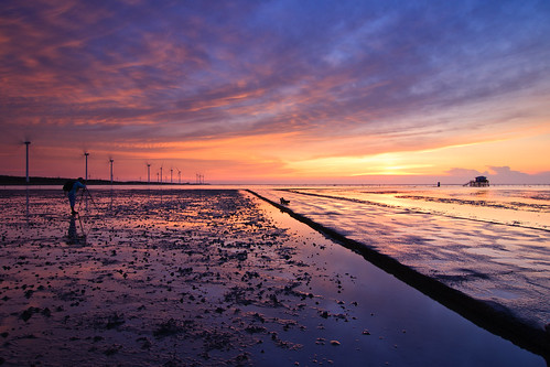
sunset red sea reflection beach windmill silhouette clouds coast boat sand power wind ripple tide taiwan 夕陽 台灣 wetland turbines 彰化 船 changhua 漁港 風車 海邊 風力發電 沙灘 海水 蚵農 肉粽角 彰濱工業區 牡礪 沙紋 海上屋 綠能
自由與孤獨
sunset windmill taiwan 夕陽 台灣 彰化 changhua 風力發電 伸港 肉粽角 霞光 彰濱工業區 觀測站 海上屋 samyaoo
海上屋之淡霞光
square squareformat hudson iphoneography instagramapp uploaded:by=instagram foursquare:venue=4bb6f3722ea195217d70ac2f
another good day
sunset reflection beach windmill silhouette clouds coast boat sand power wind ripple taiwan 夕陽 台灣 彰化 船 changhua 漁港 風車 海邊 風力發電 沙灘 海水 枯木 蚵農 肉粽角 彰濱工業區 牡礪 沙紋 海上屋 綠能
遠道而來的朋友 A Friend from Far away
sunset sea sky sun reflection water windmill canon landscape taiwan explore 夕陽 台灣 日落 風景 hy windturbine bai 彰化 changhua 風車 彰濱 explored 西濱 肉粽角 彰濱工業區 風景攝影 hsienhsi 線西 發掘 fave100 changpingindustryarea hybai
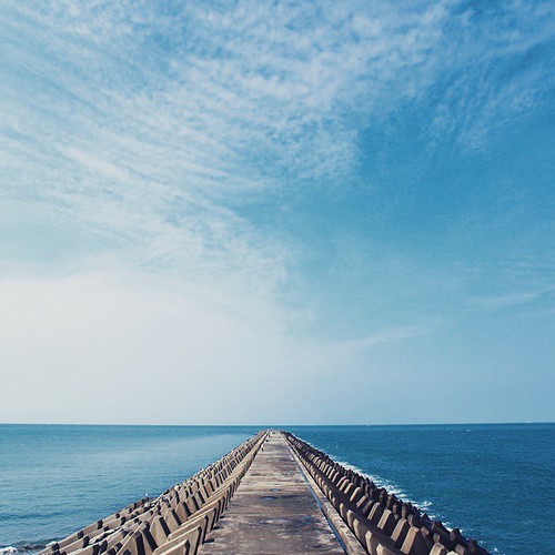
the road to burning sky
sun taiwan clear 台灣 彰化 鹿港 changhua 晴天 lukang 晴朗
Sunset 201409
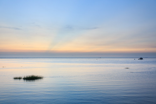
sunset 彰化縣 彰濱工業區 海上屋
初訪海上屋
sunset sea landscape taiwan 夕陽 彰濱 彰濱工業區
G10-0577
台灣 tw 台中市 南屯區
IMG_9131.jpg
sunset reflection beach windmill silhouette clouds coast boat sand power wind ripple taiwan 夕陽 台灣 彰化 船 changhua 漁港 風車 海邊 風力發電 沙灘 海水 枯木 蚵農 肉粽角 彰濱工業區 牡礪 沙紋 海上屋 綠能
守護者 The Secret Keeper
square squareformat iphoneography instagramapp uploaded:by=instagram
熟悉的景色????????
square squareformat iphoneography instagramapp uploaded:by=instagram foursquare:venue=4ea0b575d3e33bed8832dfc4
出任務
flickrandroidapp:filter=chameleon
台中火力發電場-釣魚平臺
sunset taiwan 夕陽 台灣 彰化 伸港 肉粽角 彰濱工業區 海上屋 什股海域
海上屋2
square sierra squareformat iphoneography instagramapp uploaded:by=instagram
科目:攻山頭 聞哨音後開始動作,嗶~
sunset sea landscape taiwan 夕陽 彰濱 彰濱工業區
40D-IMG_5447

Topographic Map of Taiwan, 彰化縣花壇鄉崙雅村

Find elevation by address:


Places in Taiwan, 彰化縣花壇鄉崙雅村:

Places near Taiwan, 彰化縣花壇鄉崙雅村:

Recent Searches: