Elevation of Taiwan, 宜蘭縣南澳鄉金洋村

Location: Taiwan > Yilan County > Nan'ao Township >

Longitude: 121.559834

Latitude: 24.4118015

Elevation: 1103m / 3619feet

Barometric Pressure: 89KPa

Elevation Map:

elevation map of Taiwan, 宜蘭縣南澳鄉金洋村

Satellite Map:

Satellite map of Taiwan, 宜蘭縣南澳鄉金洋村

Related Photos:

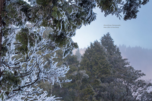
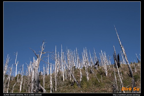
landscape taiwan taipingshan yilan 6d 太平山 70300 翠峰湖 ef70300mmf456isusm 小小黑 風景攝影 霧淞 mttaiping taipingshannationalforestrecreationarea 太平山國家森林遊樂區 平元林道 翠峰湖環山步道 台灣影像
霧凇。太平山 Mt.Taiping rime_IMG_2430
landscape taiwan taipingshan yilan 宜蘭 6d 太平山 70300 翠峰湖 ef70300mmf456isusm 小小黑 風景攝影 霧淞 mttaiping taipingshannationalforestrecreationarea 太平山國家森林遊樂區 平元林道 翠峰湖環山步道 台灣影像
霧淞。翠峰湖環山步道 Rime, Yilan, Taiwan _IMG_2436
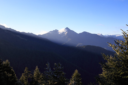
mountain landscape taiwan mountainscape 雪山 南湖大山 聖稜線 雪山山脈 小霸尖山 大霸尖山 台中市 品田山 雪山主峰 大同鄉 北稜角 mtnanhu 審馬陣山 宜蘭縣 風景攝影 雪山北峰 穆特勒布山 中央山脈北一段 holyridgeline 次高山 審馬陣草原 台灣影像 和平區 せいりょうせん 高海拔山區
Holy ridgeline 聖稜線 _IMG_3562_3567_pano
white snow lumix village view panasonic whitesnow snowwhite 雪 雪景 snowvillage 雪鄉 m43 gh3 1235mm 四季村 dmcgh3
雪鄉 / Snow Village
panorama mountain trekking landscape hiking pano taiwan ps climbing 宜蘭 6d 南湖大山 接圖 台中市 百岳 三等三角點 大同鄉 mtnanhu 宜蘭縣 風景攝影 寬景圖 ef1635mmf28liiusm 和平鄉 1635lii 南湖北山 五岩峰 南湖群峰 中央山脈北一段 十崇 台灣影像 蘭陽溪源頭 3536m 高海拔山區 nanhumountainnorthmountain nanhumountainrange 百岳21 巴油山 十崇2
南湖北山寬景 Nanhu Mountain North Mountain, Taiwan _IMG_3630_46
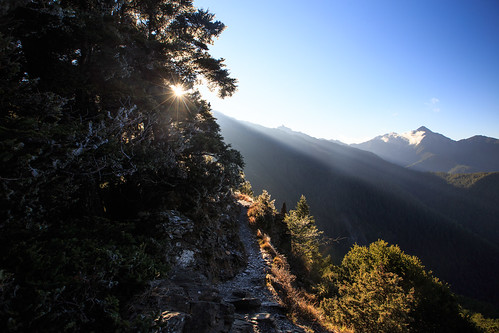
mountain sunrise landscape taiwan rays mountainscape 南湖大山 中央尖山 台中市 大同鄉 mtnanhu 審馬陣山 宜蘭縣 風景攝影 中央山脈北一段 台灣影像 南湖大山南峰 和平區 高海拔山區
Sunrise rays 晨光 IMG_3456
mountain sunrise landscape taiwan rays mountainscape 南湖大山 中央尖山 台中市 大同鄉 mtnanhu 審馬陣山 宜蘭縣 風景攝影 中央山脈北一段 台灣影像 和平區 高海拔山區
Sunrise rays IMG_3438
landscape taiwan taipingshan yilan 6d 太平山 70300 翠峰湖 ef70300mmf456isusm 小小黑 金翼白眉 風景攝影 台灣噪眉 mttaiping formosanlaughingthrush taipingshannationalforestrecreationarea 太平山國家森林遊樂區 平元林道 翠峰湖環山步道 台灣影像
台灣噪眉。翠峰湖環山步道 Yilan, Taiwan _IMG_2470
sky mountain plant tree clouds iso100 taiwan picasa fujifilm 台灣 自然 山 yilan 宜蘭 大同 植物 天空 雲海 樹 國內旅遊 flickraward finepixf40fd
見晴懷古雲海 Jiancing Historic Trail, TaiPing Mountain
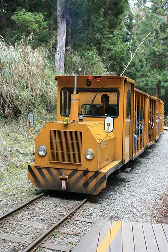
geotagged locomotive ilan 太平山 geo:tool=yuancc 茂興 canoneoskissx2 bumpbumpcar geo:lat=24493518 geo:lon=121536117
蹦蹦車頭
geotagged track ilan 太平山 geo:tool=yuancc canoneoskissx2 bumpbumpcar geo:lat=24493518 geo:lon=121536117
蹦蹦車
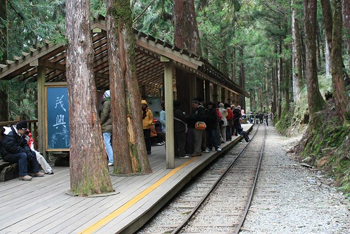
geotagged trainstation ilan 太平山 geo:tool=yuancc 茂興 canoneoskissx2 geo:lat=24493518 geo:lon=121536117
茂興車站
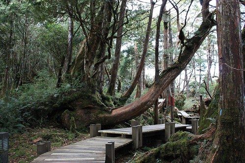
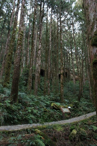
forest geotagged walk cypress ilan 太平山 geo:tool=yuancc canoneoskissx2 geo:lat=24493518 geo:lon=121536117
Cypress that grows strangely
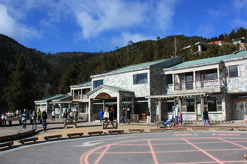
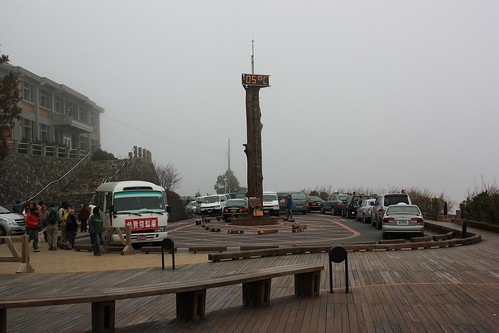
geotagged ilan visitorcenter 太平山 遊客中心 geo:tool=yuancc canoneoskissx2 geo:lat=24493518 geo:lon=121536117
太平山遊客中心
sky cloud sunshine geotagged ilan 太平山 geo:tool=yuancc canoneoskissx2 geo:lat=24493518 geo:lon=121536117
Beautiful sky
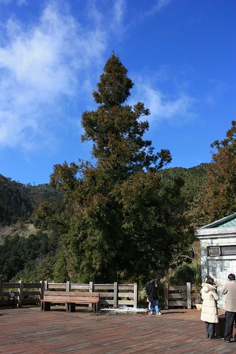
blue geotagged cypress ilan 太平山 geo:tool=yuancc canoneoskissx2 geo:lat=24493518 geo:lon=121536117
冷竣
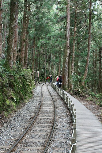
forest geotagged track walk ilan 太平山 geo:tool=yuancc 茂興 canoneoskissx2 geo:lat=24493518 geo:lon=121536117
Track into forest
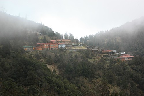
mist geotagged ilan 太平山 geo:tool=yuancc canoneoskissx2 geo:lat=24493518 geo:lon=121536117
太平山莊
geotagged ilan 太平山 geo:tool=yuancc canoneoskissx2 geo:lat=24493518 geo:lon=121536117
太平山莊,濃霧
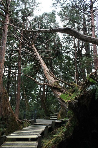
forest geotagged collapse cypress ilan 太平山 geo:tool=yuancc canoneoskissx2 geo:lat=24493518 geo:lon=121536117
Fallen cypress
forest geotagged cypress ilan 太平山 geo:tool=yuancc 茂興 canoneoskissx2 geo:lat=24493518 geo:lon=121536117
茂密
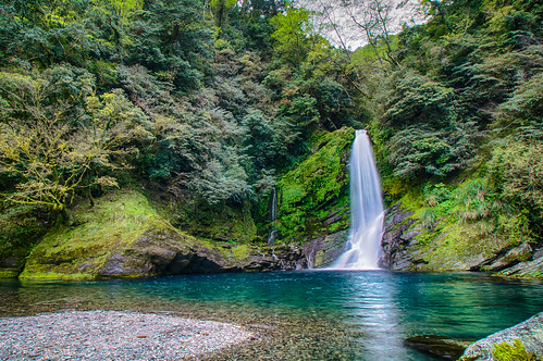
mountain waterfalls 台灣 tamron yilan a55 tamron1118mm taipingmountain 宜蘭縣 1118mmf4556
太平山三疊瀑布 Waterfalls in Taiping Mountain
nikon taiwan taipei 秋 台灣 宜蘭 太平山 秋天 翠峰湖 樹木 藍天 大同鄉 山毛櫸 d700 山毛櫸步道
秋。翠 峰 湖
nikon taiwan taipei 秋 台灣 宜蘭 太平山 秋天 翠峰湖 樹木 藍天 大同鄉 山毛櫸 d700 山毛櫸步道
太平山 。 山毛櫸
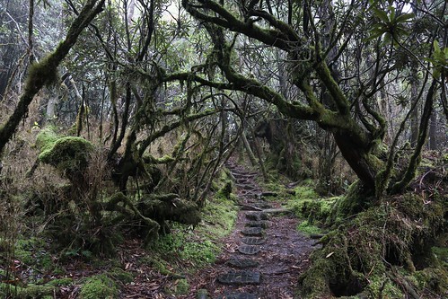
film analog nikon fuji hiking fe nikkor nikonfe 太平山 fujicolor 翠峰湖 底片 f125 nikkorscauto50mmf14 電影底片 太平山森林遊樂區 f125t fujicolor8532negativefilmf125t
翠峰湖環湖步道
grdigital ricoh 太平山 翠峰湖 grd grd3 grdiii 太平山森林遊樂區
翠峰湖環湖步道
Last Import-45
d5d 加羅湖 亞成鳥
亞成鳥Day4_07
d5d 加羅湖 亞成鳥
亞成鳥Day3_50
d5d 加羅湖 亞成鳥
亞成鳥Day3_32