Elevation of Tahara, Aichi Prefecture, Japan

Location: Japan > Aichi Prefecture >

Longitude: 137.264203

Latitude: 34.6688056

Elevation: 12m / 39feet

Barometric Pressure: 101KPa

Elevation Map:

elevation map of Tahara, Aichi Prefecture, Japan

Satellite Map:

Satellite map of Tahara, Aichi Prefecture, Japan

Related Photos:

park travel japan canon landscape eos countryside seaside afternoon sigma sunny roadtrip telephoto aichi aichiprefecture aichiken tahara 550d 18250mm petertoshiro rebelt2i kissx4 taharashi
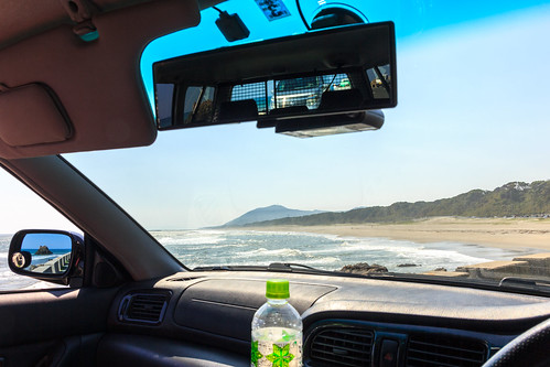
At The Countryside: Side Mirror View
park travel japan canon landscape eos countryside seaside afternoon sigma sunny roadtrip telephoto aichi aichiprefecture aichiken tahara 550d 18250mm petertoshiro rebelt2i kissx4 taharashi
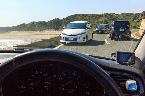
At The Countryside: Dashboard View
japan airplane tokyo air aerial 日本 東京 haneda windowseat aichiprefecture hnd evaair 愛知県 羽田 br189 三河湾 田原市 taharacity エバ航空
#8975 view from BR189
park travel japan canon landscape eos countryside seaside afternoon sigma sunny roadtrip telephoto aichi aichiprefecture aichiken tahara 550d 18250mm petertoshiro rebelt2i kissx4 taharashi
At The Countryside: Driver's Seat View
nightphotography japan landscape nightshot beautifull gamagori lagunagamagori
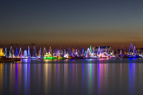
Laguna Gamagori
japan canon geotagged 日本 takeshima gamagori 愛知県 竹島 蒲郡市 930is geo:lat=34810300263455204 geo:lon=13723164190674595
Takeshima Sea View
nikon sunflower 愛知 aichi 向日葵 ひまわり 田原 ヒマワリ tahara d3s sigma50mmf14exdghsm ashigaike ashigaikeagricalturepark 芦ヶ池農業公園 santeparktahara santepark サンテパルクたはら
20130720 Santepark 3
IMG_2103.JPG
park japan swamp aichi toyohashi petertoshiro
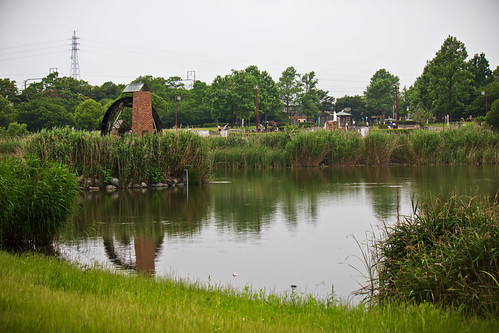
At The Park: Lake-Swamp
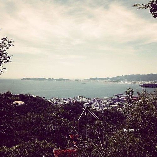
square lofi squareformat iphoneography instagramapp uploaded:by=instagram foursquare:venue=4bd92dfa0115c9b608ad7680
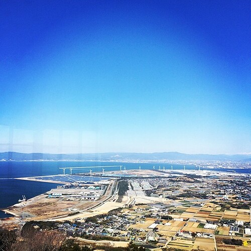
平べったく工場と畑が目立つ愛知特有の眺め。中央アルプス?遠くに雪山が見えるが、ビニルハウス群とガントリークレーンのコントラストの方に萌える。
yellow nikon 愛知 aichi rapeblossoms 菜の花 黄色 田原 菜花 tahara atsumi ナノハナ afsvrzoomnikkor70200mmf28gifed 渥美半島 d3s atsumipeninsula 渥美 atsumipeninsularapeblossomsfestival 渥美半島菜の花まつり
20150110 Tahara 4
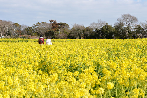
park people japan landscape candid aichi toyohashi petertoshiro
At The Park: People Watching
square squareformat hudson iphoneography instagramapp uploaded:by=instagram foursquare:venue=4bdf97c7ffdec928bdadeca1
暑いけど良い天気になってきた。
japan nikon 日本 tamron aichi 70200mm rapeblossoms 愛知県 d600 atsumi 70200mmf28 田原市 sp70200mmf28divcusd atsumishi
2014 rape blossoms festival D600-35
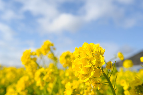
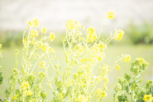
yellow nikon 愛知 aichi rapeblossoms 菜の花 黄色 田原 菜花 tahara atsumi ナノハナ 渥美半島 d3s atsumipeninsula 渥美 afsnikkor28mmf18g atsumipeninsularapeblossomsfestival 渥美半島菜の花まつり
20150110 Tahara 2
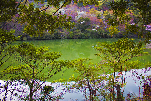
city lake nature water japan canon landscape eos rebel kiss prefecture aichi x4 tahara 550d t2i petertosiro
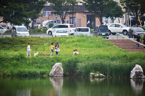
At The Park: The Lake
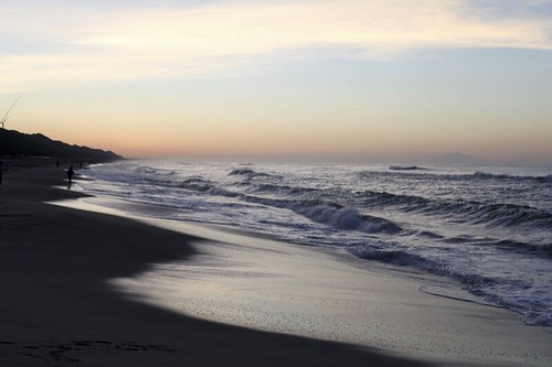
beach nikon wave 愛知 aichi 海岸 akabane sandybeach d300 波 田原 tahara 砂浜 渥美半島 sigma50mmf14exdghsm atsumipeninsula pacificlongbeach 太平洋ロングビーチ akabaneoishichibeach oishibeach 赤羽根大石海岸 赤羽根 大石海岸
20100503 Akabane 5 (Friends)
Dr.Yellow
square squareformat brannan iphoneography instagramapp uploaded:by=instagram
やっぱり山よりも海が好きかな。
jpwendy
jp wendy 1004
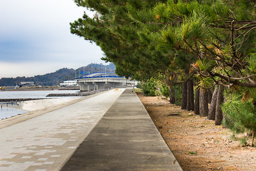
sea tree japan pine canon landscape concrete eos rebel bay coast town kiss pavement telephoto breeze vanishing leading x4 hazu mikawa 550d t2i petertoshiro 55250mm
At The Countryside: Relaxing
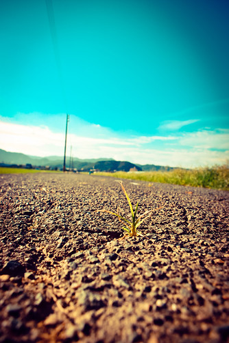
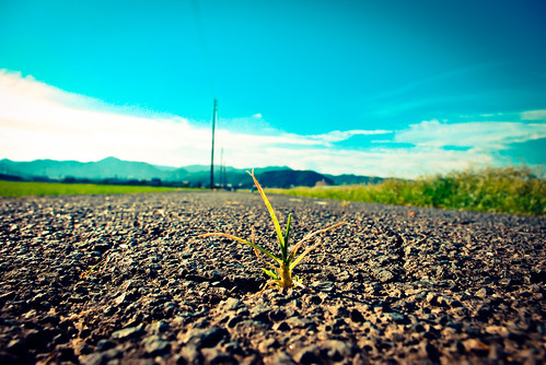
blue sky grass pentax bokeh asphalt km
強かに - Living strong #2
nikon 日本 peninsula 海 伊良湖岬 70200mm d4 愛知県 菜の花 atsumi 豊橋市 irako 渥美半島 1424mm d800e
20130302-_DSC3173
blue sky grass pentax bokeh asphalt km
強かに - Living strong #1
aichi
Aichi, Toyohashi-city, Komatsubara
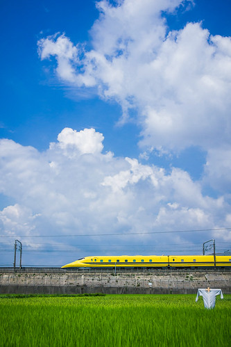
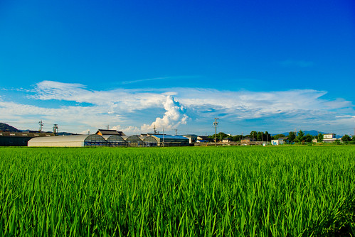
blue sky cloud green japan pentax ricefield km thunderhead
夏空 - The Summer Sky

Topographic Map of Tahara, Aichi Prefecture, Japan

Find elevation by address:


Places in Tahara, Aichi Prefecture, Japan:

Places near Tahara, Aichi Prefecture, Japan:

Recent Searches: