Elevation of Taha'a, French Polynesia
Location: French Polynesia > Leeward Islands >
Longitude: -151.50192
Latitude: -16.609481
Elevation: 140m / 459feet
Barometric Pressure: 100KPa
Elevation Map:
Satellite Map:
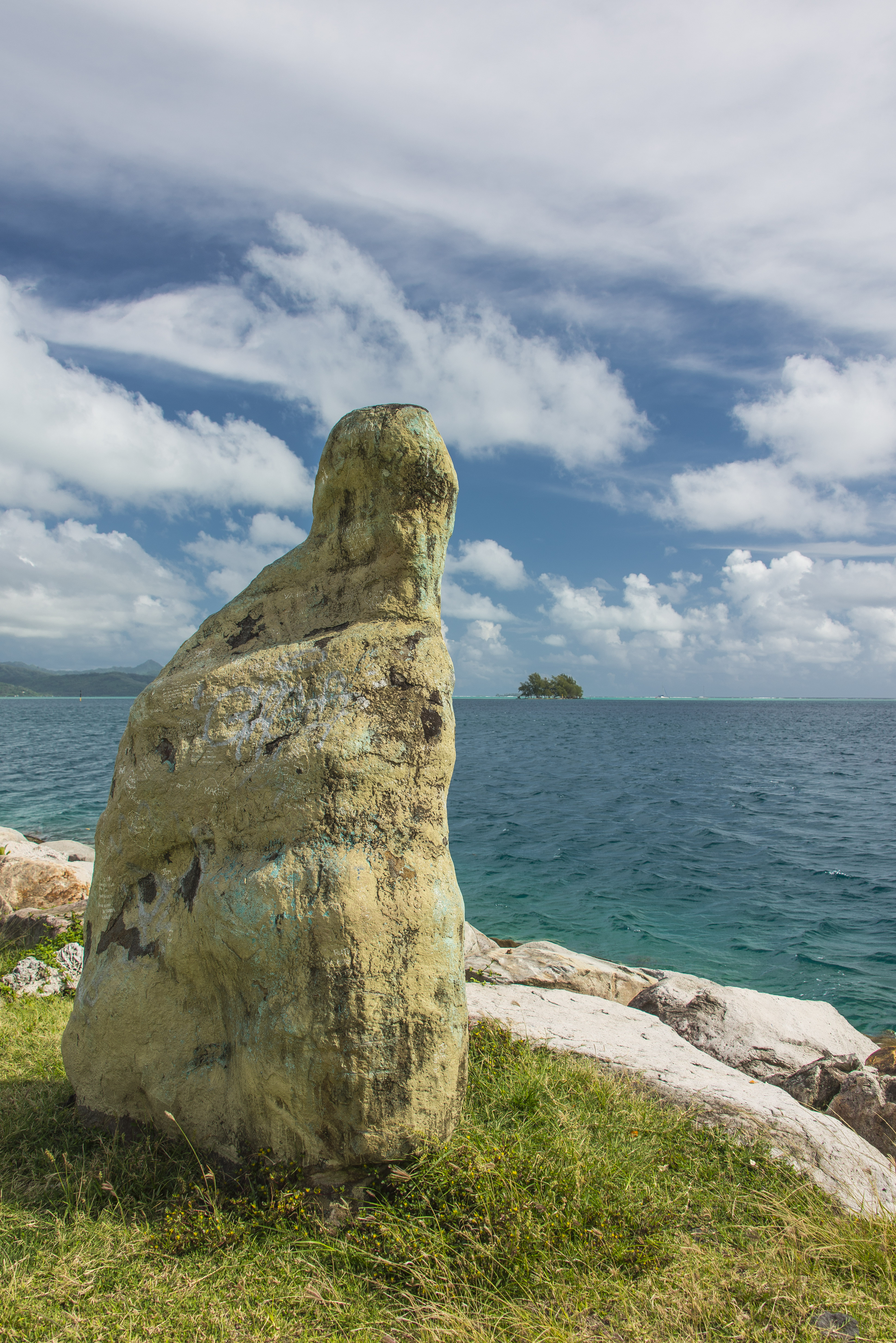
Related Photos:
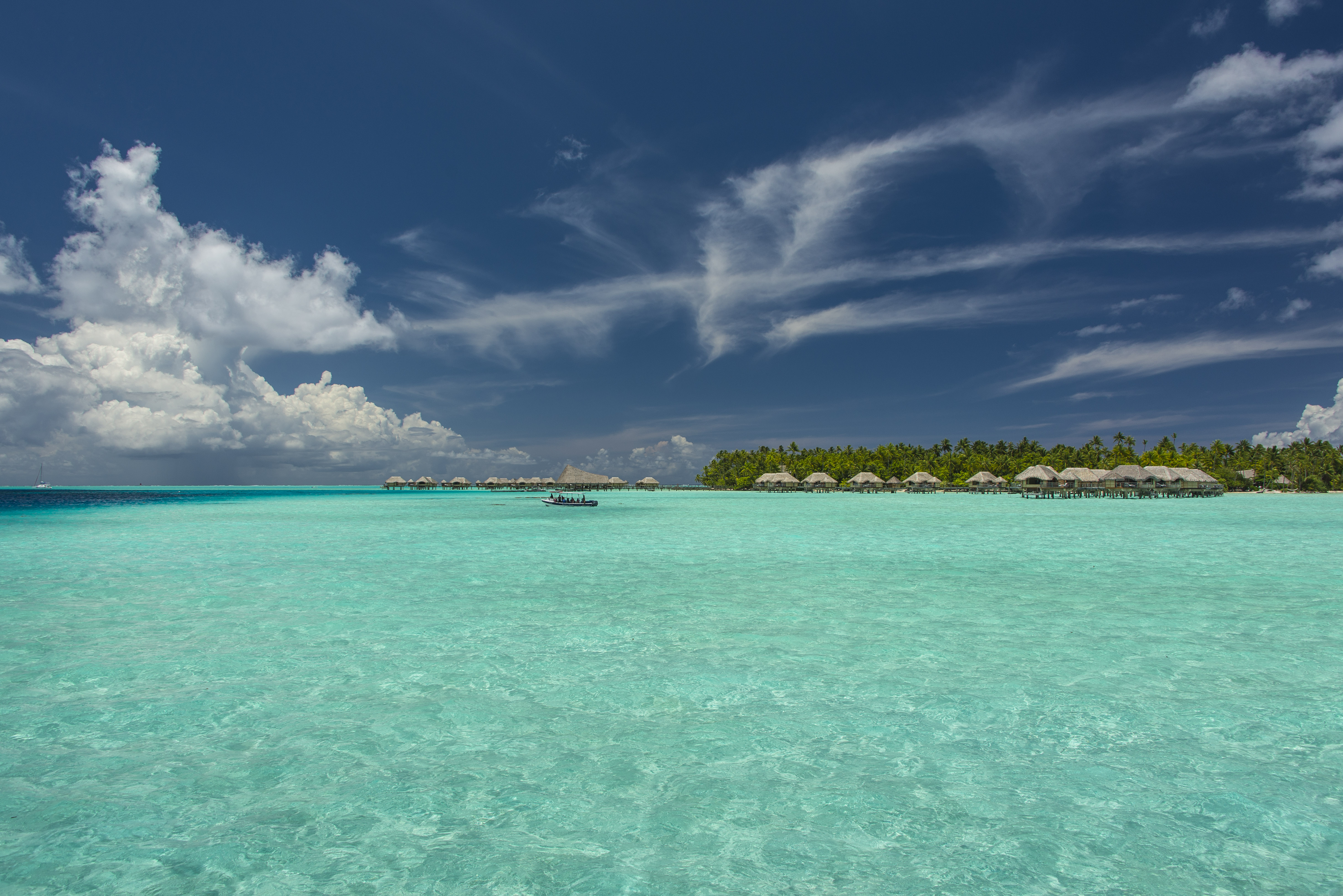
View from room
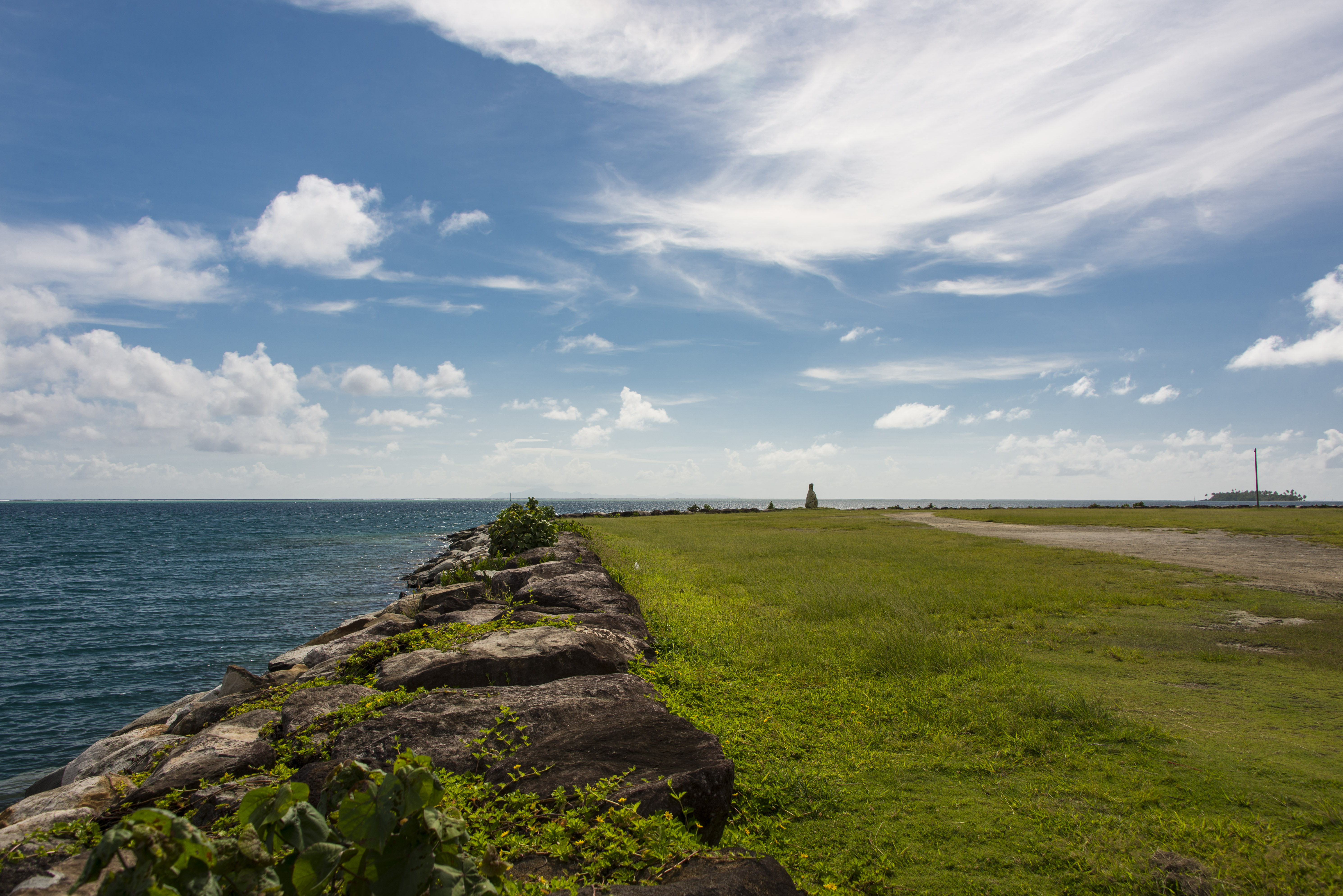
View of Uturoa Harbor
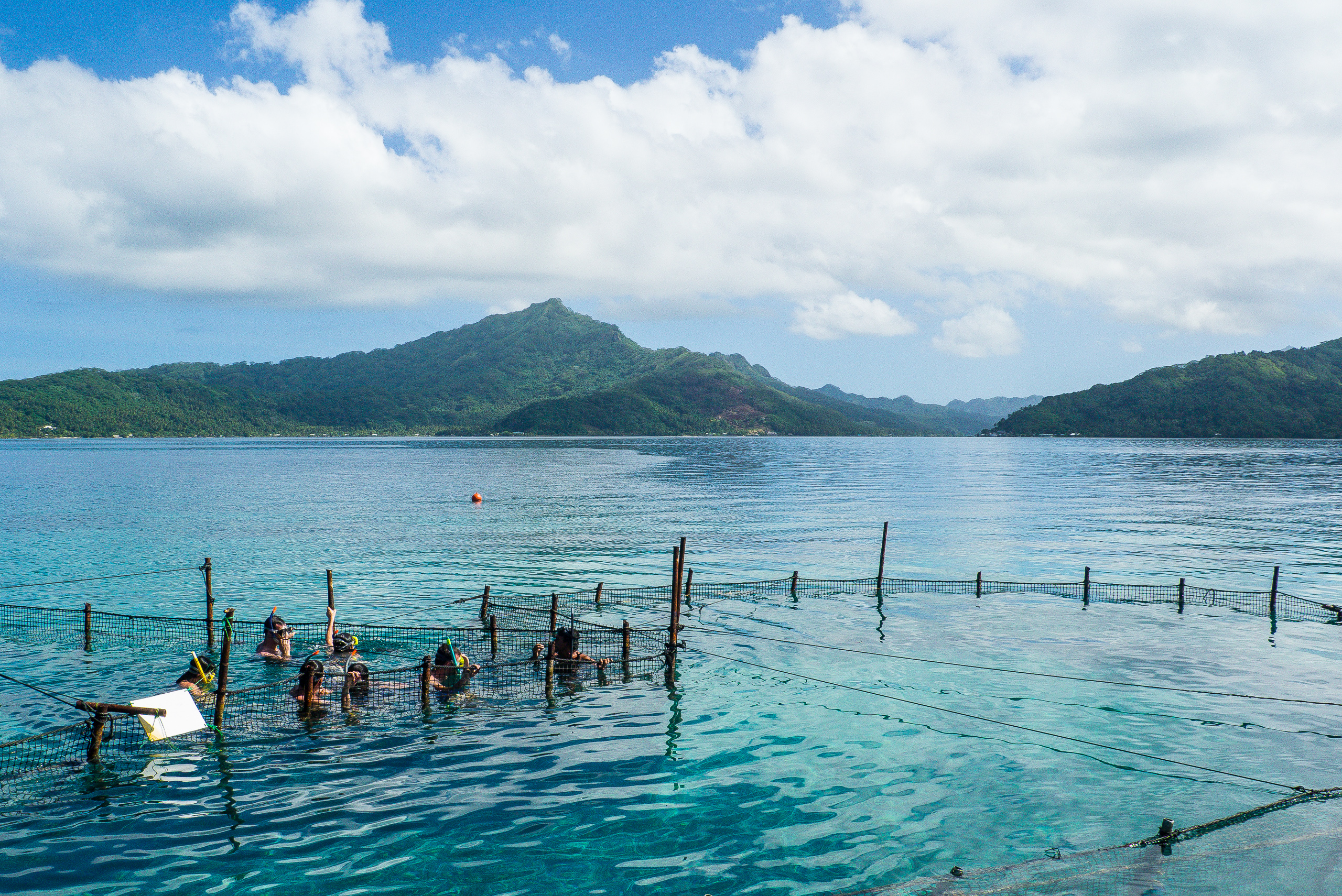
Secure place to view the sharks ...
Le Taha Bungalows
View of Uturoa Harbor
View of Uturoa Harbor
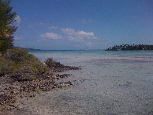
vue du lagon depuis le récif

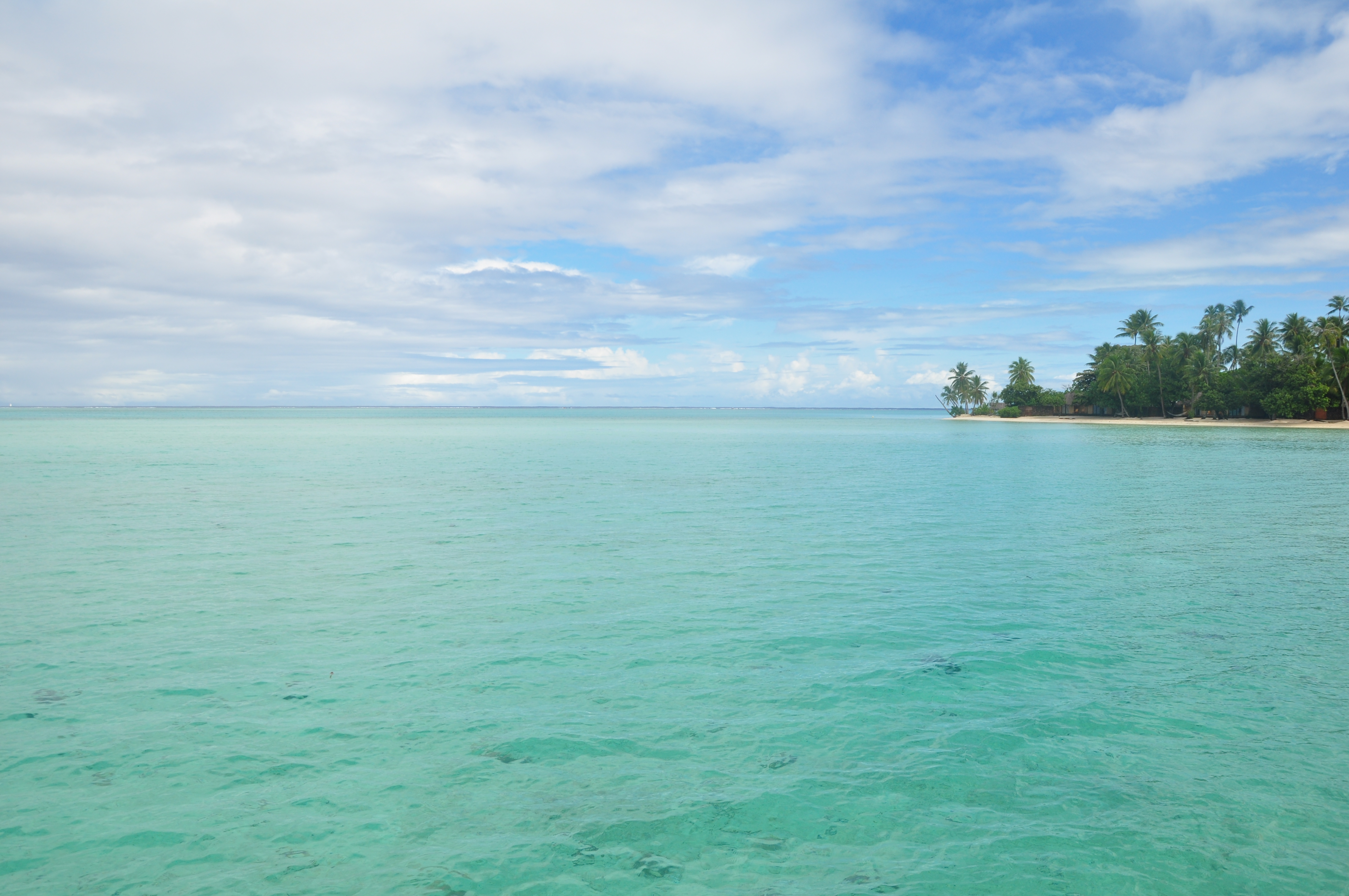
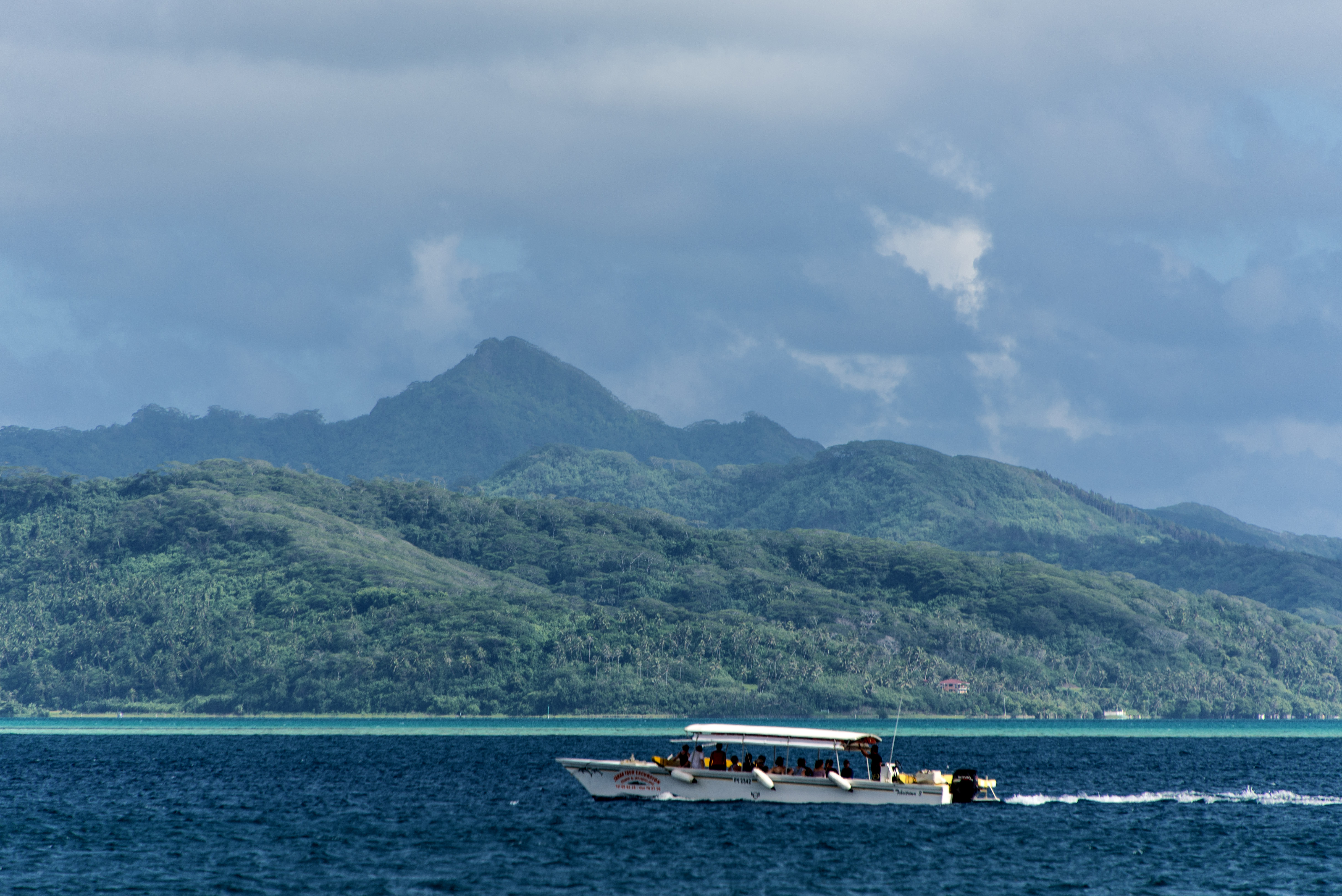
View looking back on Taha'a main island
Topographic Map of Taha'a, French Polynesia
Find elevation by address:

Places near Taha'a, French Polynesia:
Recent Searches:
- Elevation of Corso Fratelli Cairoli, 35, Macerata MC, Italy
- Elevation of Tallevast Rd, Sarasota, FL, USA
- Elevation of 4th St E, Sonoma, CA, USA
- Elevation of Black Hollow Rd, Pennsdale, PA, USA
- Elevation of Oakland Ave, Williamsport, PA, USA
- Elevation of Pedrógão Grande, Portugal
- Elevation of Klee Dr, Martinsburg, WV, USA
- Elevation of Via Roma, Pieranica CR, Italy
- Elevation of Tavkvetili Mountain, Georgia
- Elevation of Hartfords Bluff Cir, Mt Pleasant, SC, USA