Elevation of Tagish, YT, Canada
Location: Canada > Yukon Territory > Yukon >
Longitude: -134.27432
Latitude: 60.3128722
Elevation: 662m / 2172feet
Barometric Pressure: 94KPa
Elevation Map:
Satellite Map:
Related Photos:

[58:365]

Water balloon

Sweet tooth ;) TSC [54:365]

Cafe Mocha!
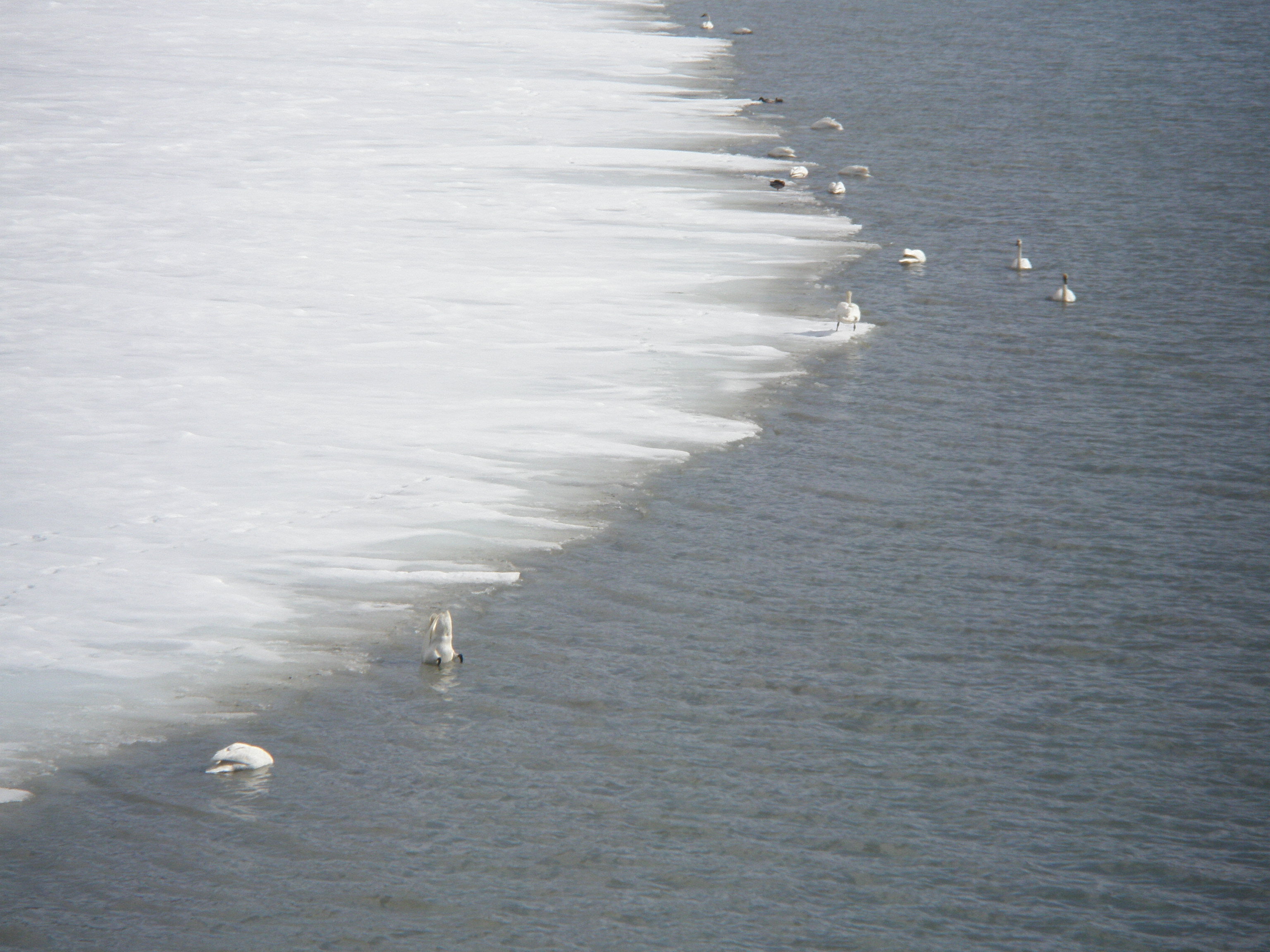
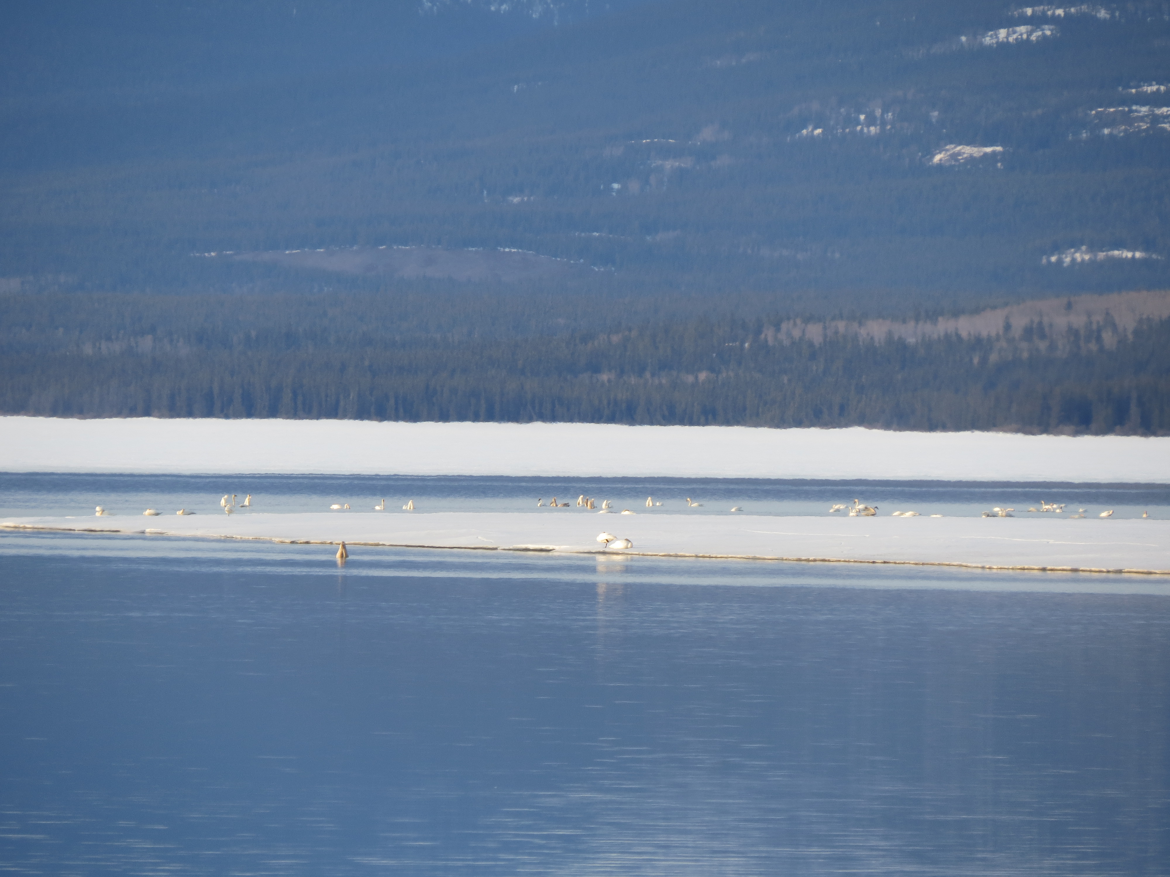
Dinner time for these swans (view large for a better view)
Migrating swans and ducks (view large for a better view)
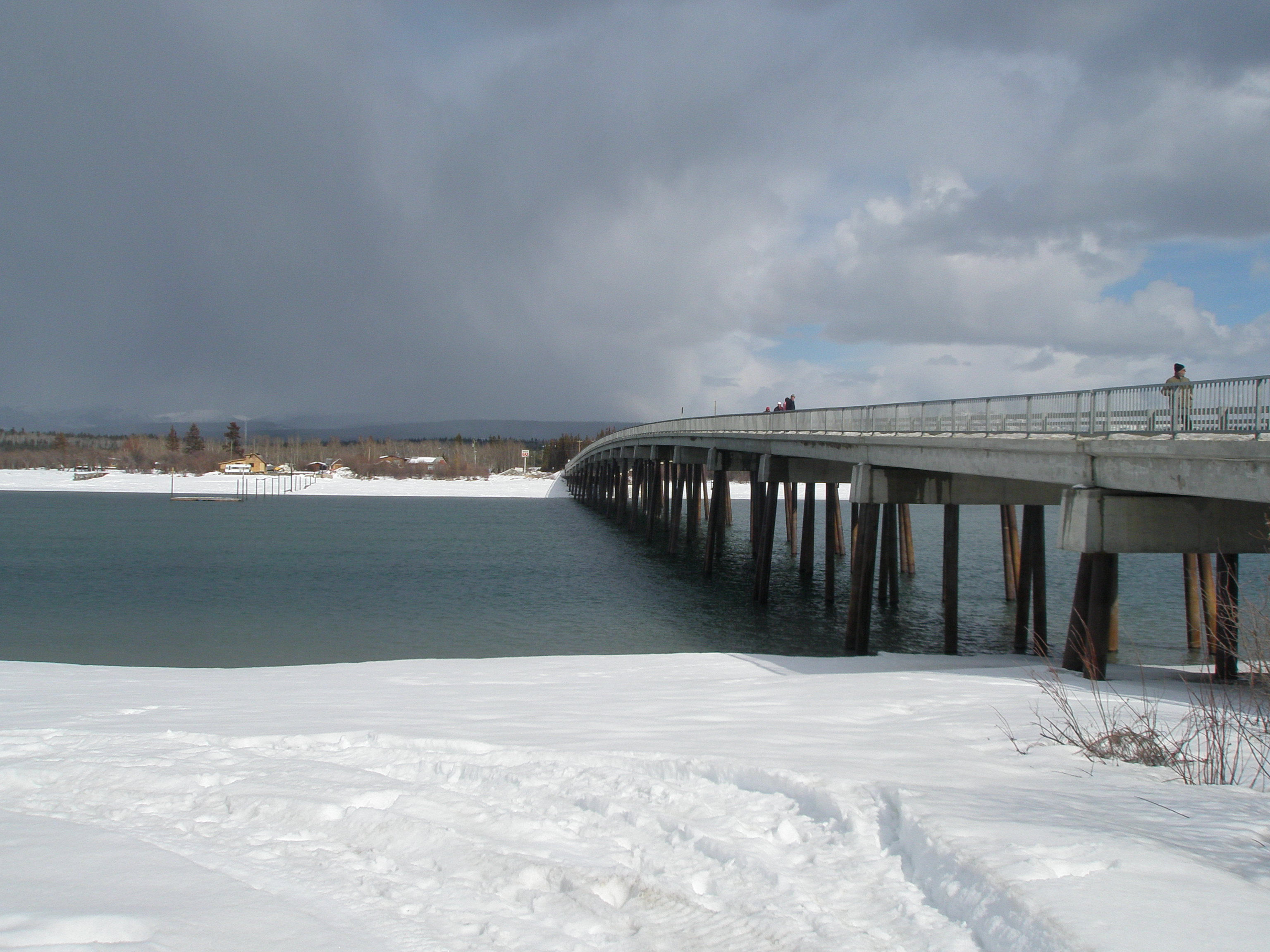
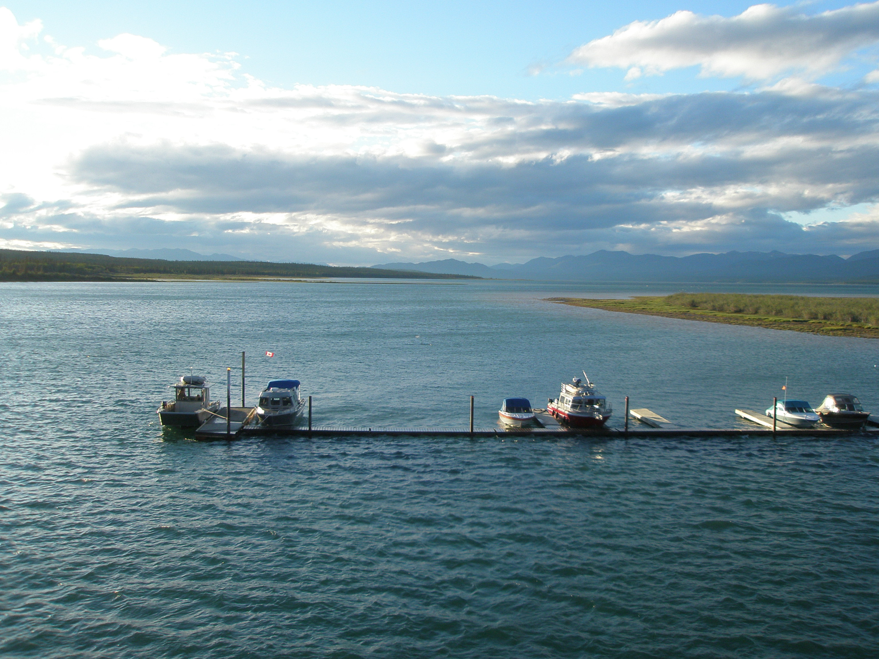
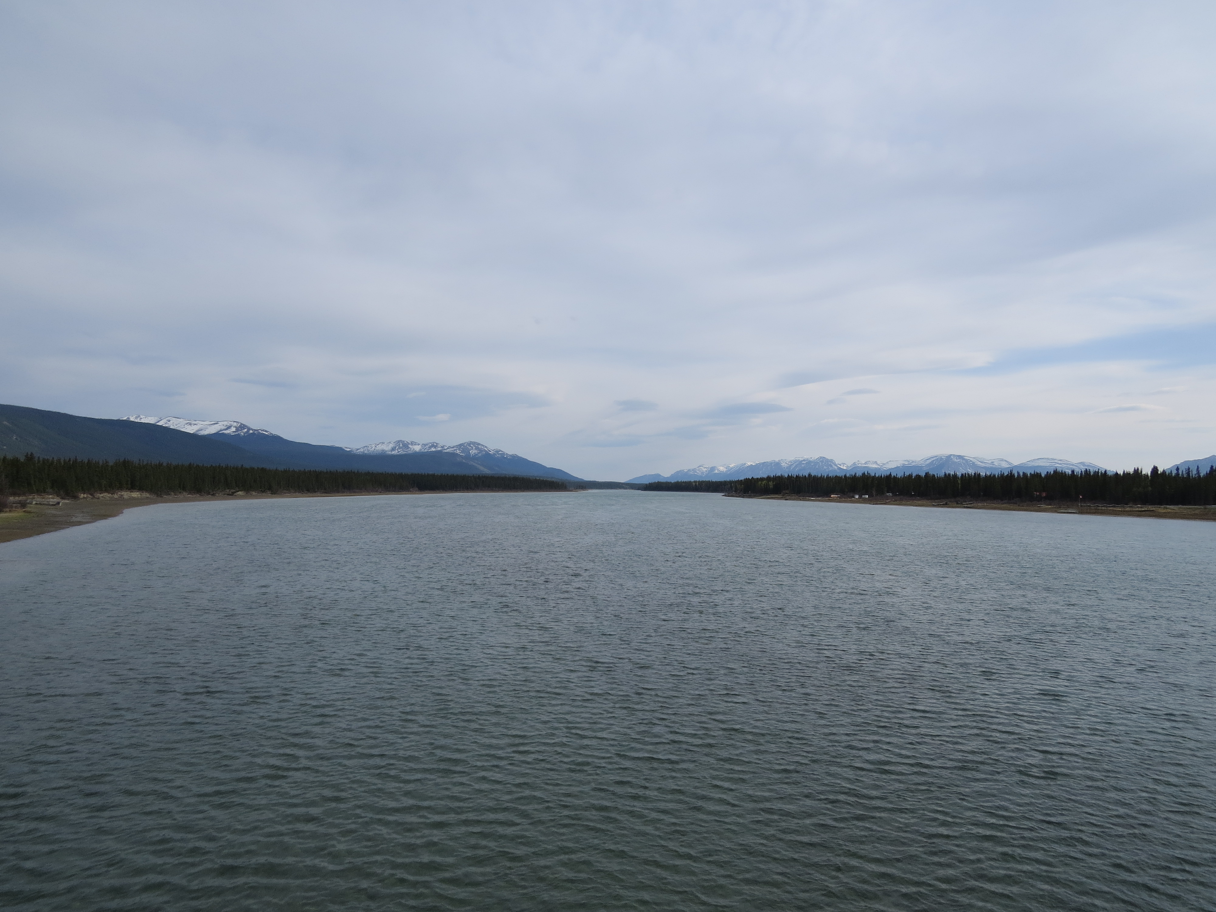
View of the Tagish River Bridge
Scenic view near the Tagish River Bridge
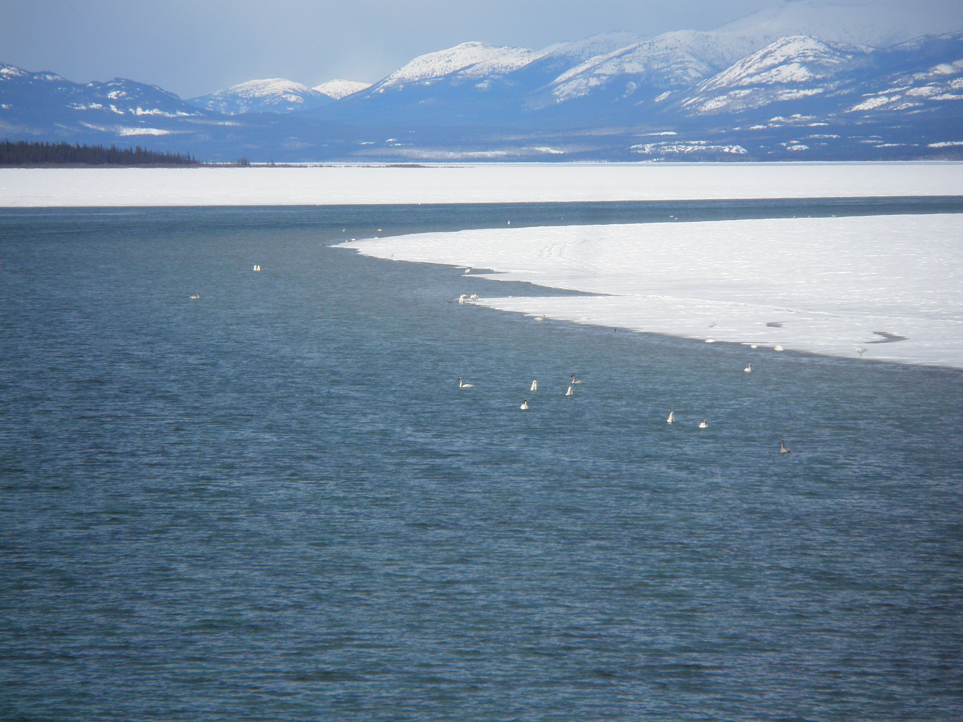
Looking for food in the water (view large for a better view)
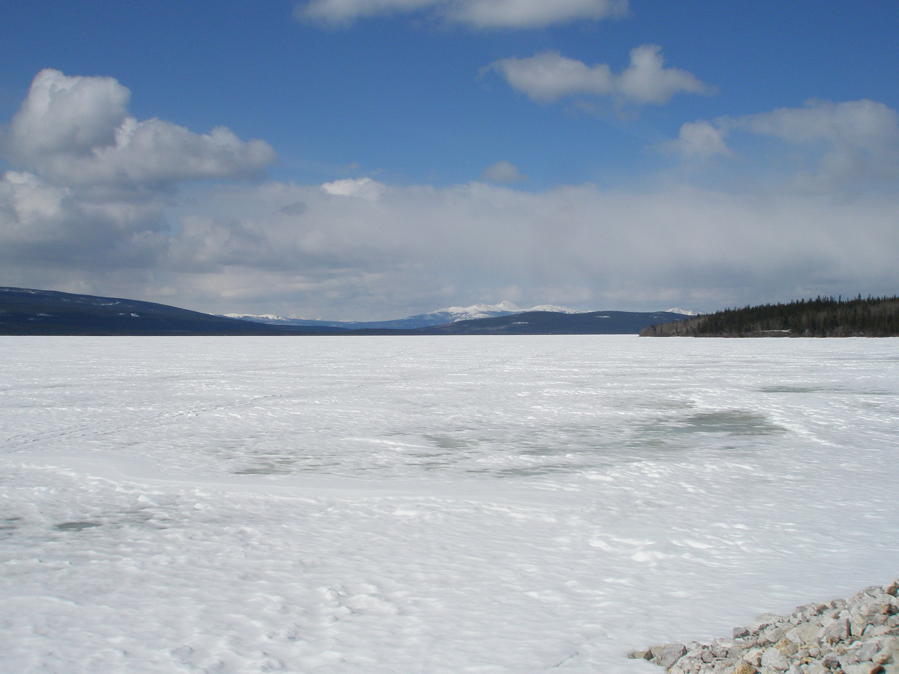
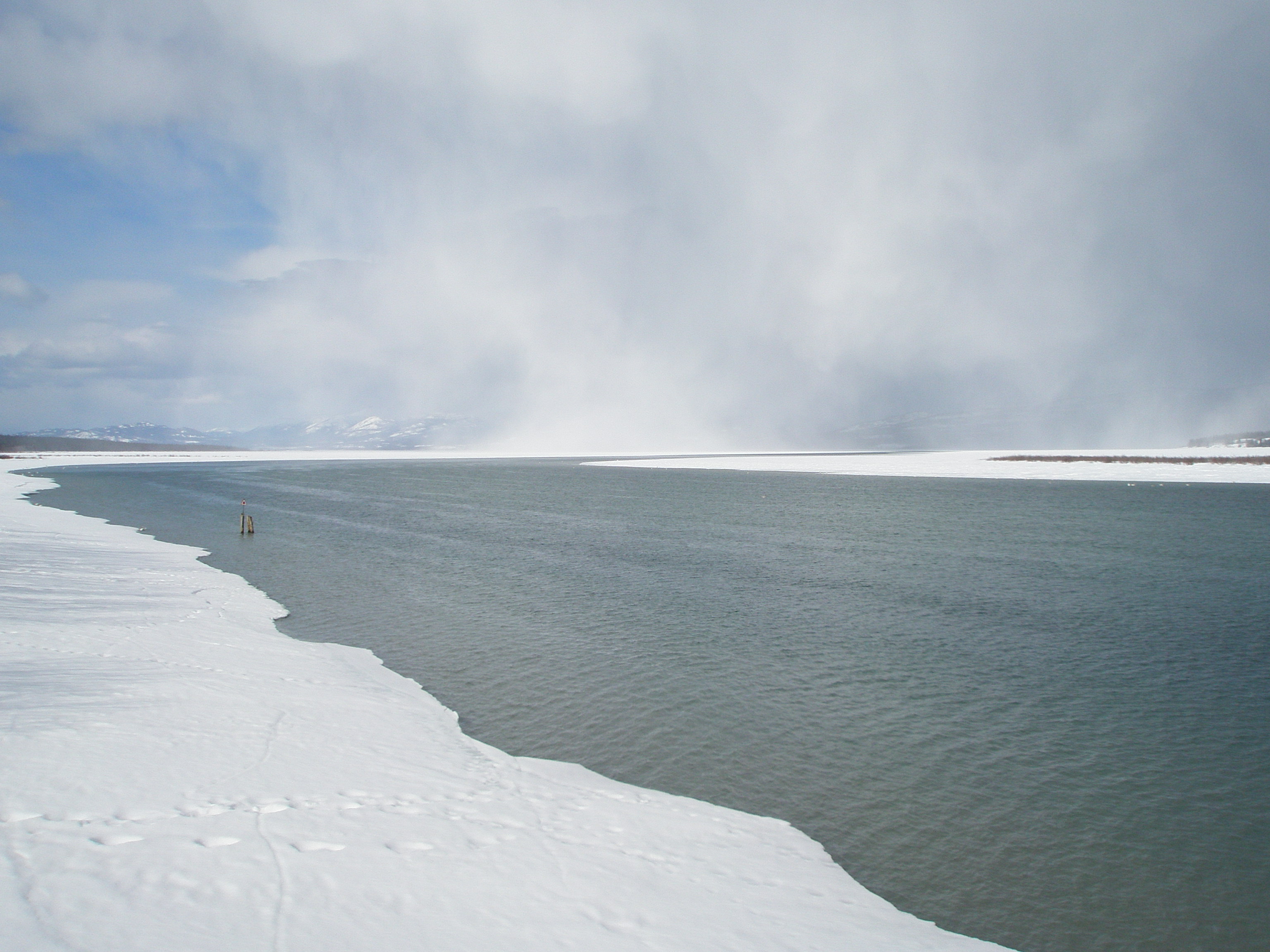
Scenic view of Little Atlin Lake - part 2
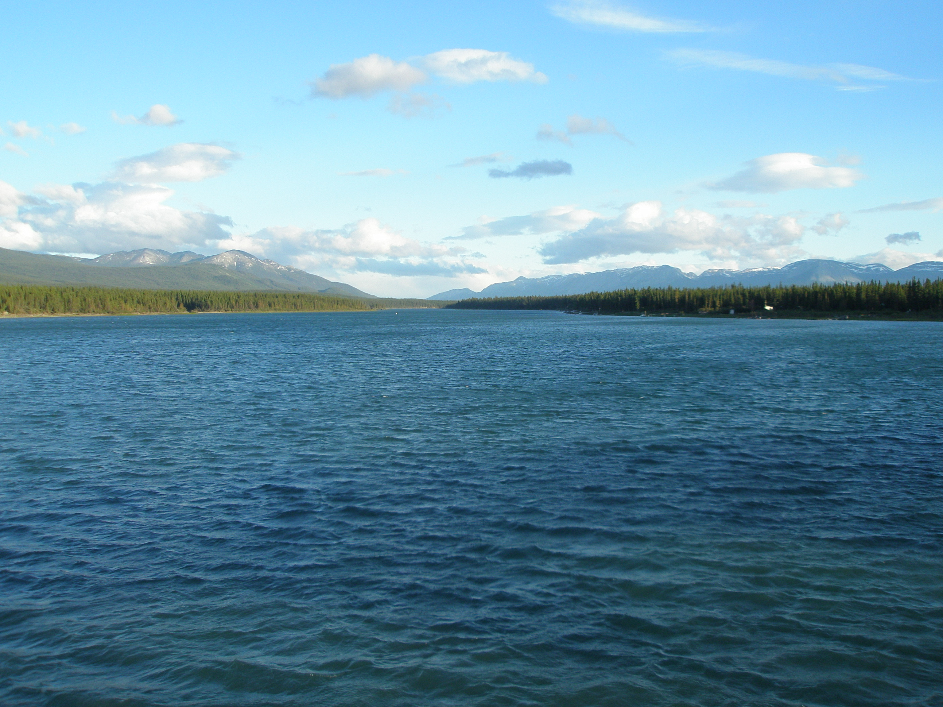
View of 6 Mile River in Tagish, Yukon

Scenic view of Little Atlin Lake - part 1
View of Marsh Lake

Crag Lake
"Scenic" view of the Six Mile River
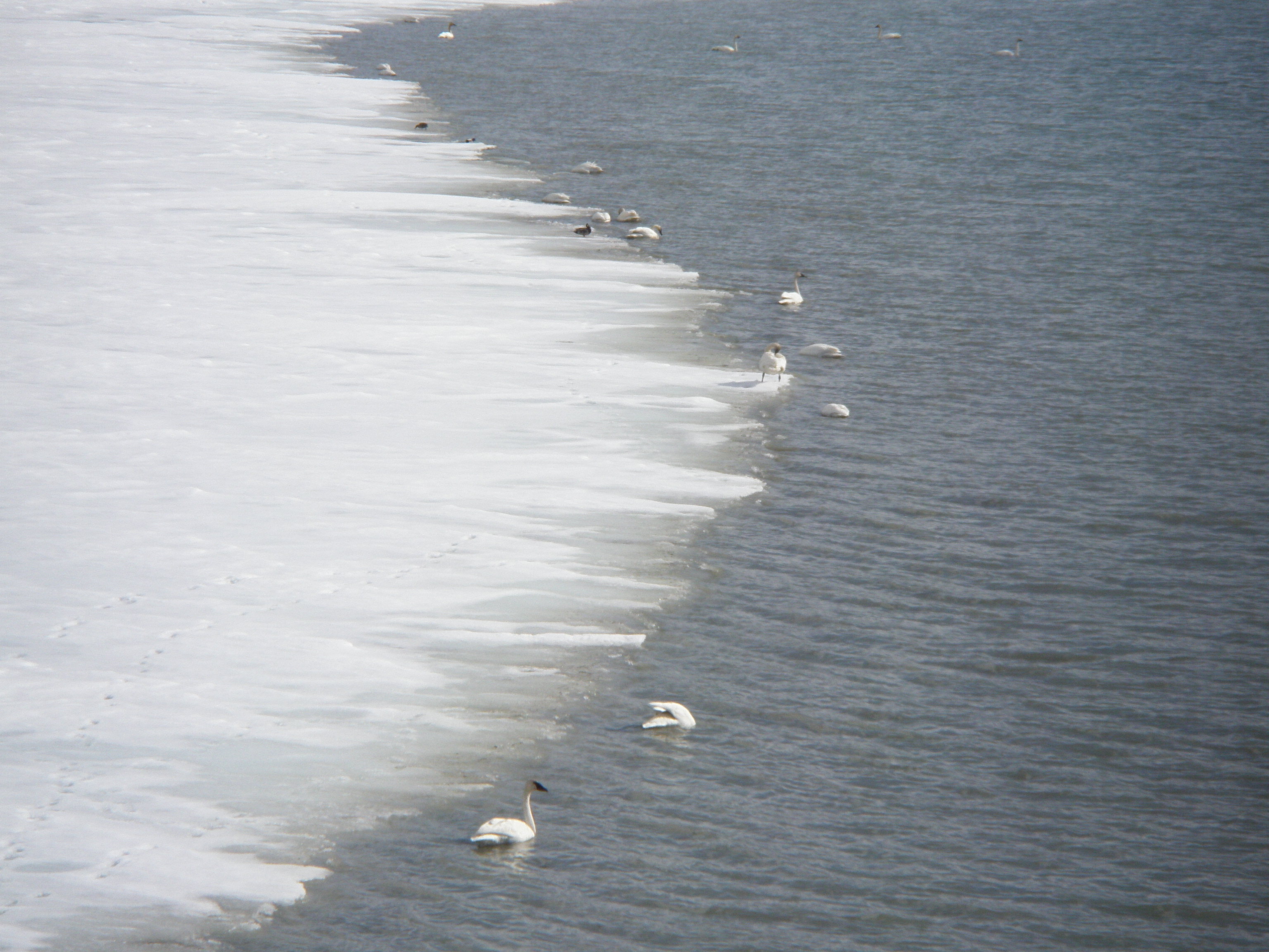
Close-up view of migrating swans in Tagish, Yukon, Canada - part 2
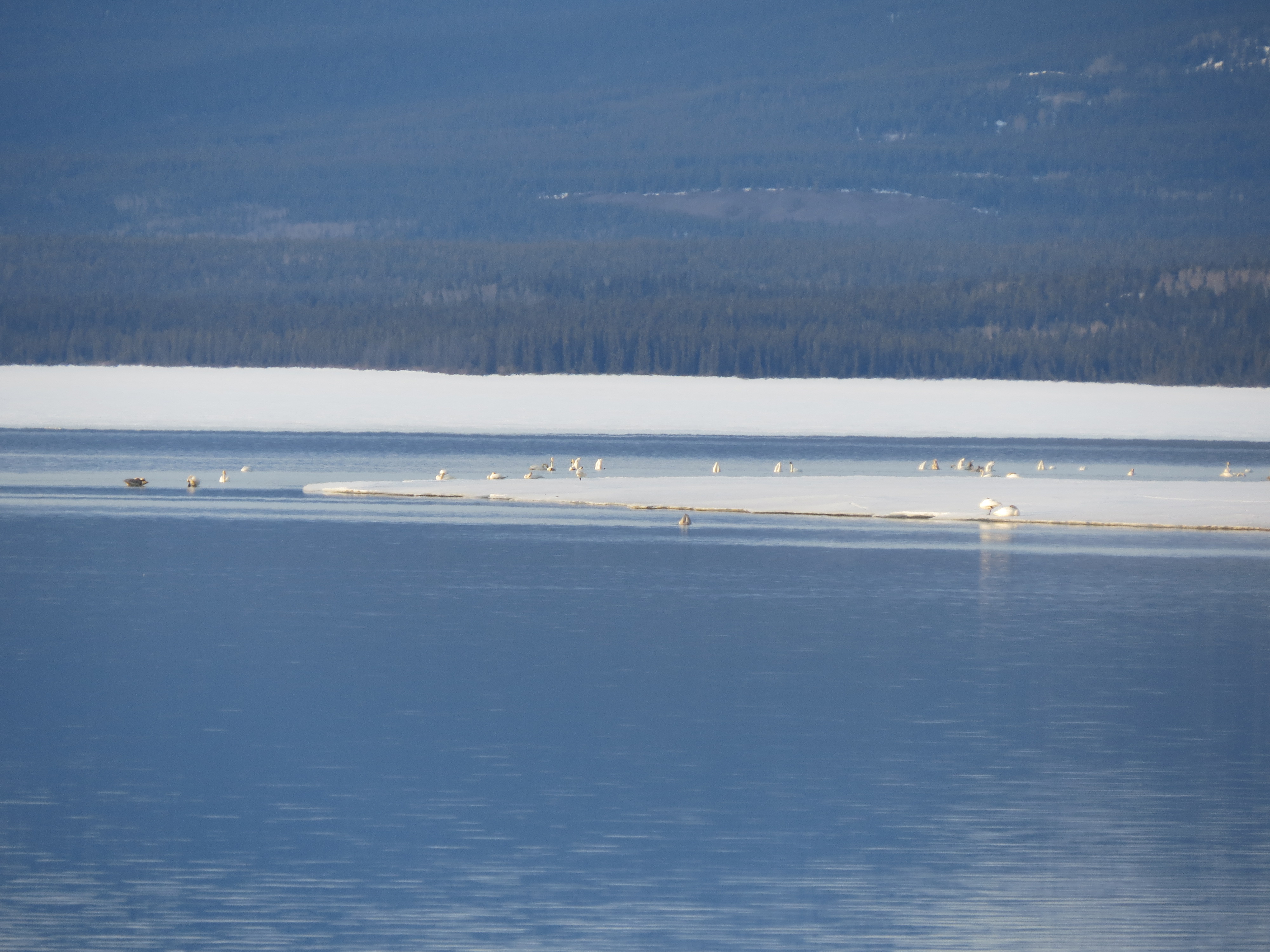
Close-up view of migrating swans in Tagish, Yukon, Canada - part 1
Topographic Map of Tagish, YT, Canada
Find elevation by address:

Places in Tagish, YT, Canada:
Places near Tagish, YT, Canada:
Tagish Rd, Tagish, YT Y0B 1T0, Canada
Carcross
Racine Lk
Sunday Peak
Racine Peak
Surprise Mountain
Skelly Lk
Teepee Peak
Paddy Peak
Bennett Peak
Bennett
Atlin
Recent Searches:
- Elevation of Corso Fratelli Cairoli, 35, Macerata MC, Italy
- Elevation of Tallevast Rd, Sarasota, FL, USA
- Elevation of 4th St E, Sonoma, CA, USA
- Elevation of Black Hollow Rd, Pennsdale, PA, USA
- Elevation of Oakland Ave, Williamsport, PA, USA
- Elevation of Pedrógão Grande, Portugal
- Elevation of Klee Dr, Martinsburg, WV, USA
- Elevation of Via Roma, Pieranica CR, Italy
- Elevation of Tavkvetili Mountain, Georgia
- Elevation of Hartfords Bluff Cir, Mt Pleasant, SC, USA