Elevation of TACKÅSEN UVVÄGEN 3, 98 Orsa, Sweden
Location: Sweden > Gavleborg County > Ljusdal V >
Longitude: 15.054231
Latitude: 61.4983422
Elevation: 367m / 1204feet
Barometric Pressure: 97KPa
Elevation Map:
Satellite Map:
Related Photos:
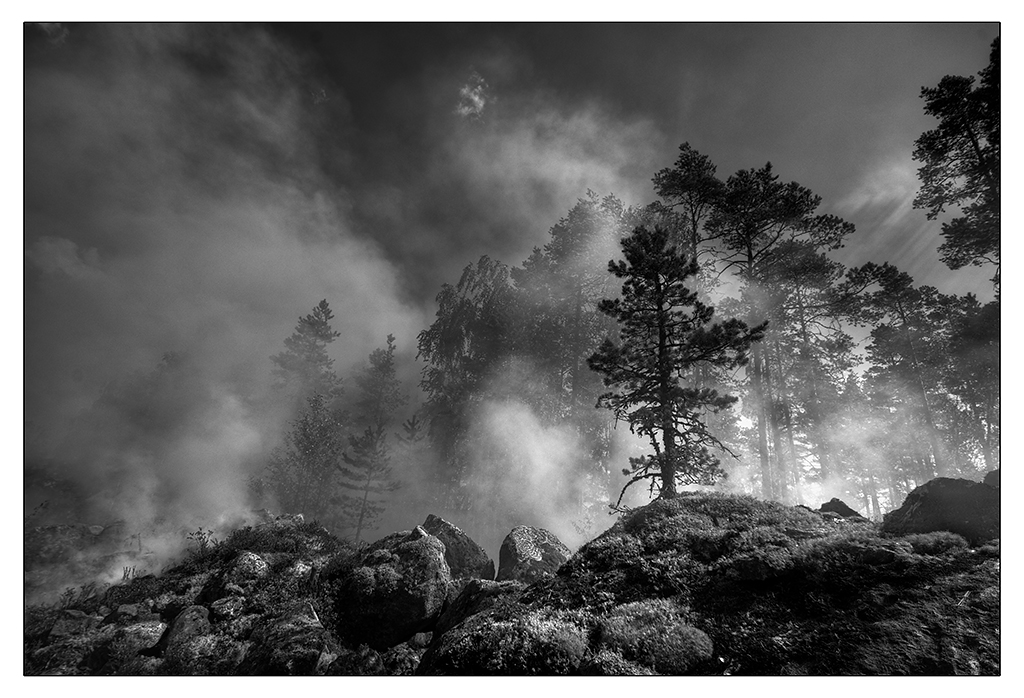
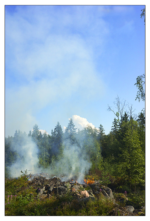
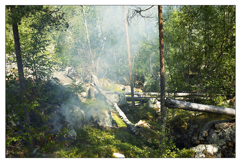
Forest fire
Forest fire

Forest stream

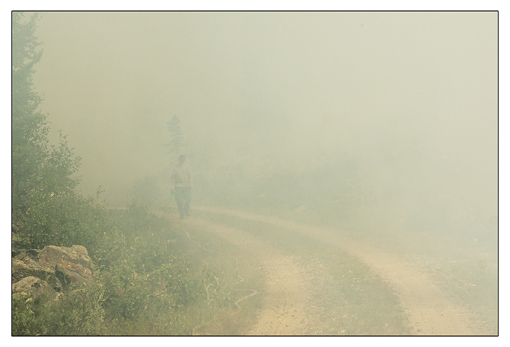
On My way Home
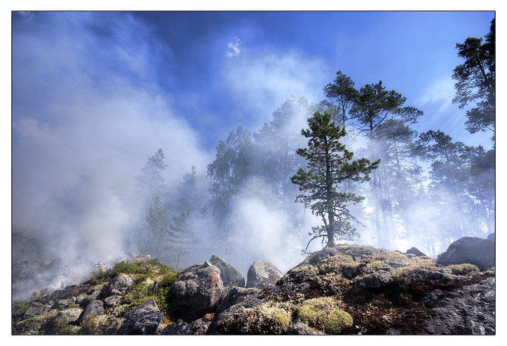
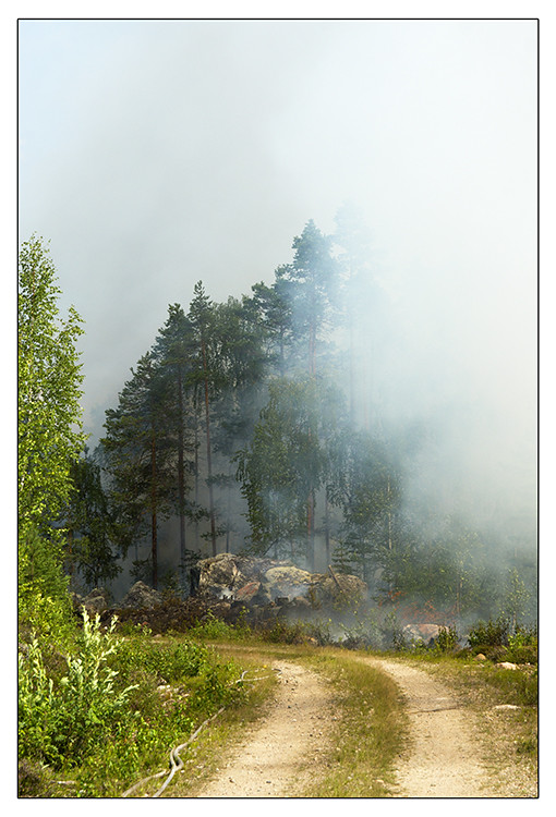
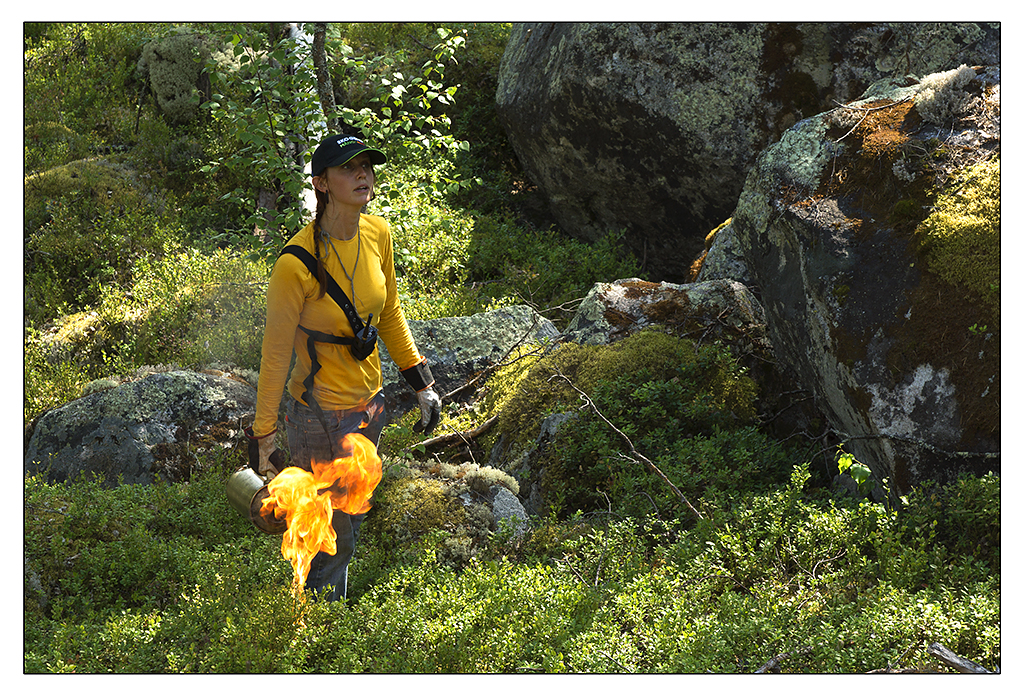
Forest fire
Forest fire
Forest fire

Sarah & leia

I with Z

Besökare Samtidigt

Zubana ????

Kaushik Aparajita Abantika

Ninni????

Besökare Samtidigt

Biruk och Lana

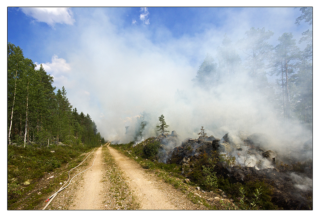
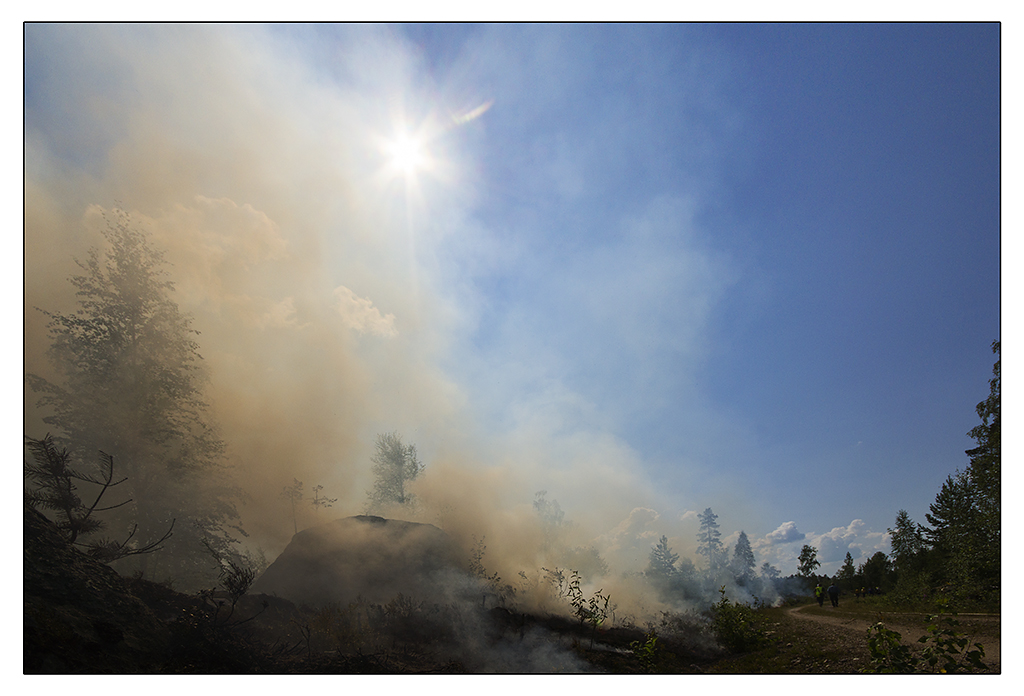
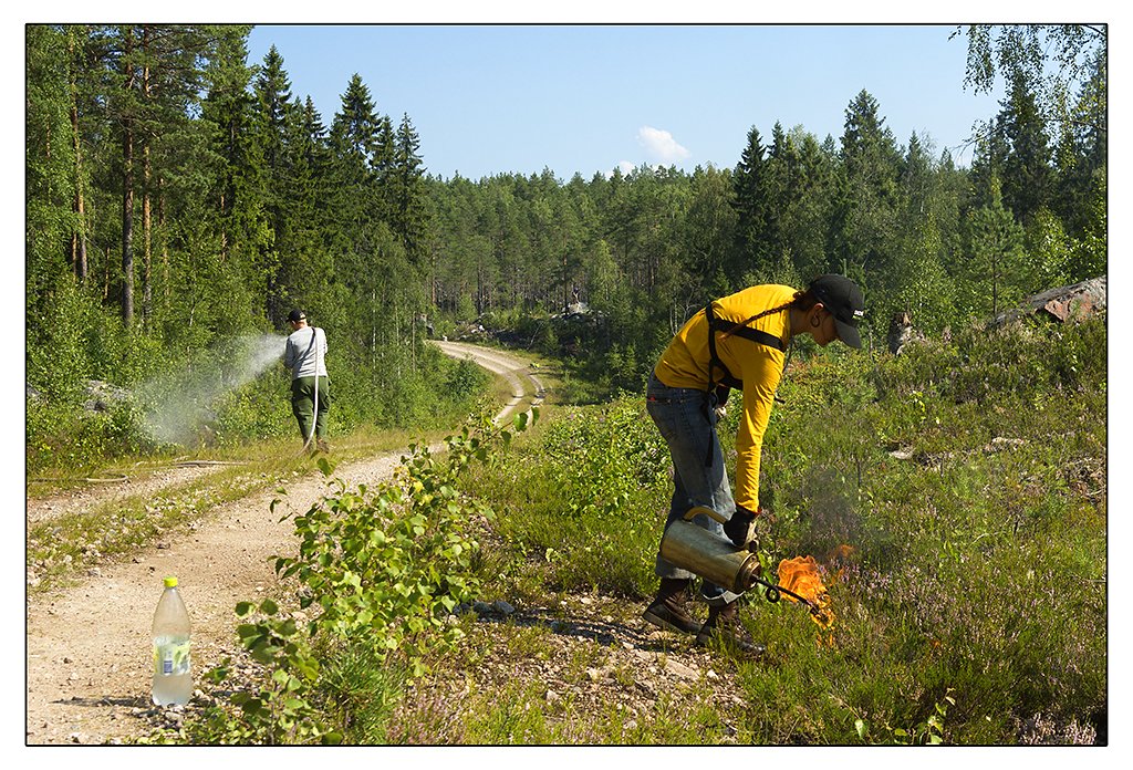
Forest fire
Forest fire
Forest fire
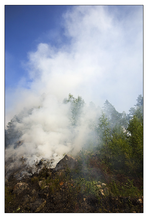
Forest fire
Forest fire
Forest fire
Forest fire
Topographic Map of TACKÅSEN UVVÄGEN 3, 98 Orsa, Sweden
Find elevation by address:

Places near TACKÅSEN UVVÄGEN 3, 98 Orsa, Sweden:
TOMS HUDISENLATTVÄGEN 10, 51 Hamra, Sweden
KVARNBERGSTORP 27, 50 Los, Sweden
Ljusdal V
Skattungen
Södra Blommaberg
Södra Blommaberg, 93 Voxnabruk, Sweden
DALBYN KYRKVÄGEN 45, 70 Furudal, Sweden
Rättvik N
Dalarna County
FALKEN 6, 90 Orsa, Sweden
Vikarbyn
Fryksås, 98 Orsa, Sweden
Fryksås
Rättvik
BLECKET RISGATU 1, 92 Rättvik, Sweden
Vattnäs byväg 89, 97 Mora, Sweden
Östanhol Siljansvägen, 94 Tällberg, Sweden
Vasagatan 14b
Sätra byväg 16, 90 Leksand, Sweden
Noret-morkarlby-utmeland
Recent Searches:
- Elevation of Corso Fratelli Cairoli, 35, Macerata MC, Italy
- Elevation of Tallevast Rd, Sarasota, FL, USA
- Elevation of 4th St E, Sonoma, CA, USA
- Elevation of Black Hollow Rd, Pennsdale, PA, USA
- Elevation of Oakland Ave, Williamsport, PA, USA
- Elevation of Pedrógão Grande, Portugal
- Elevation of Klee Dr, Martinsburg, WV, USA
- Elevation of Via Roma, Pieranica CR, Italy
- Elevation of Tavkvetili Mountain, Georgia
- Elevation of Hartfords Bluff Cir, Mt Pleasant, SC, USA