Elevation map of Tabora Region, Tanzania
Location: Tanzania >
Longitude: 32.7181375
Latitude: -5.1107561
Elevation: 1177m / 3862feet
Barometric Pressure: 88KPa
Elevation Map:
Satellite Map:
Related Photos:
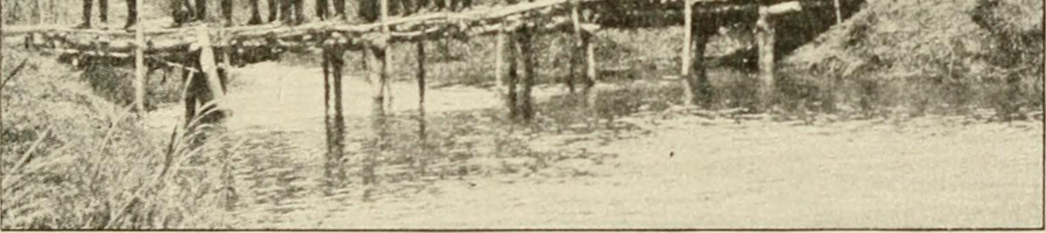
Image from page 226 of "The Literary digest history of the world war, compiled from original and contemporary sources: American, British, French, German, and others" (1919)
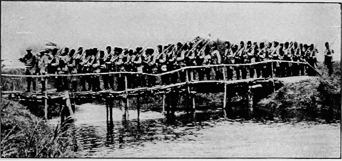
Image from page 228 of "The Literary digest history of the world war, compiled from original and contemporary sources: American, British, French, German, and others" (1919)
Topographic Map of Tabora Region, Tanzania
Find elevation by address:

Places in Tabora Region, Tanzania:
Places near Tabora Region, Tanzania:
Tabora
Tabora Urban Planning Depertment
Tabora Municipal Office
Uyui District
Uyuyi
Sikonge
Nzega
Kawe
Igunga
Recent Searches:
- Elevation of Corso Fratelli Cairoli, 35, Macerata MC, Italy
- Elevation of Tallevast Rd, Sarasota, FL, USA
- Elevation of 4th St E, Sonoma, CA, USA
- Elevation of Black Hollow Rd, Pennsdale, PA, USA
- Elevation of Oakland Ave, Williamsport, PA, USA
- Elevation of Pedrógão Grande, Portugal
- Elevation of Klee Dr, Martinsburg, WV, USA
- Elevation of Via Roma, Pieranica CR, Italy
- Elevation of Tavkvetili Mountain, Georgia
- Elevation of Hartfords Bluff Cir, Mt Pleasant, SC, USA