Elevation of T-, Manchester Township, PA, USA
Location: United States > Pennsylvania > Wayne County > Manchester Township >
Longitude: -75.128423
Latitude: 41.802722
Elevation: 370m / 1214feet
Barometric Pressure: 97KPa
Elevation Map:
Satellite Map:
Related Photos:

Evening At Stone Arch Bridge Park
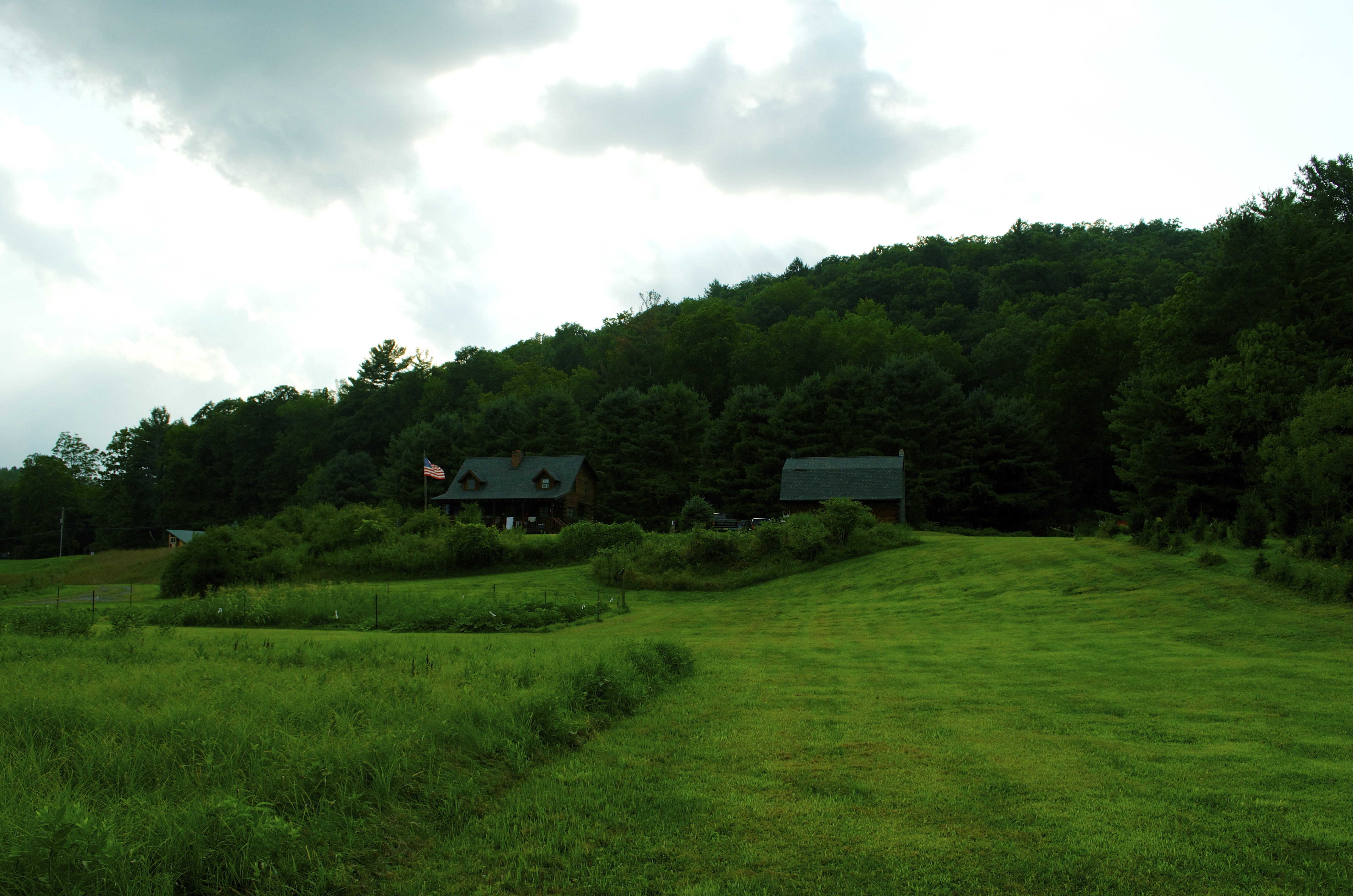
View of the cabin

Lake view

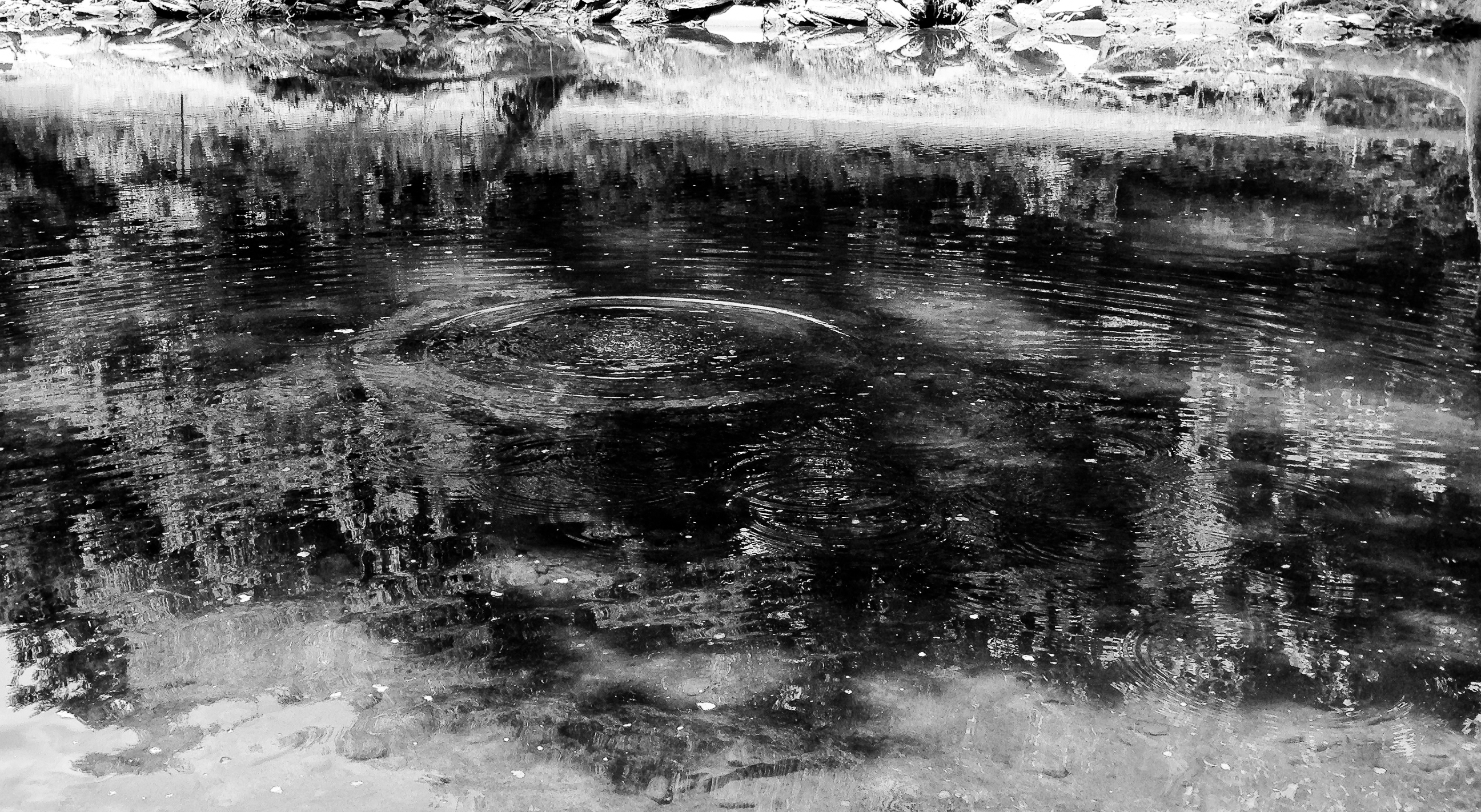
Reflected Merganser Brood

Delaware River View
View at Skinner's Falls Campground

Fall Morning in the Countryside

View from the Stone Arch Bridge

Lake view
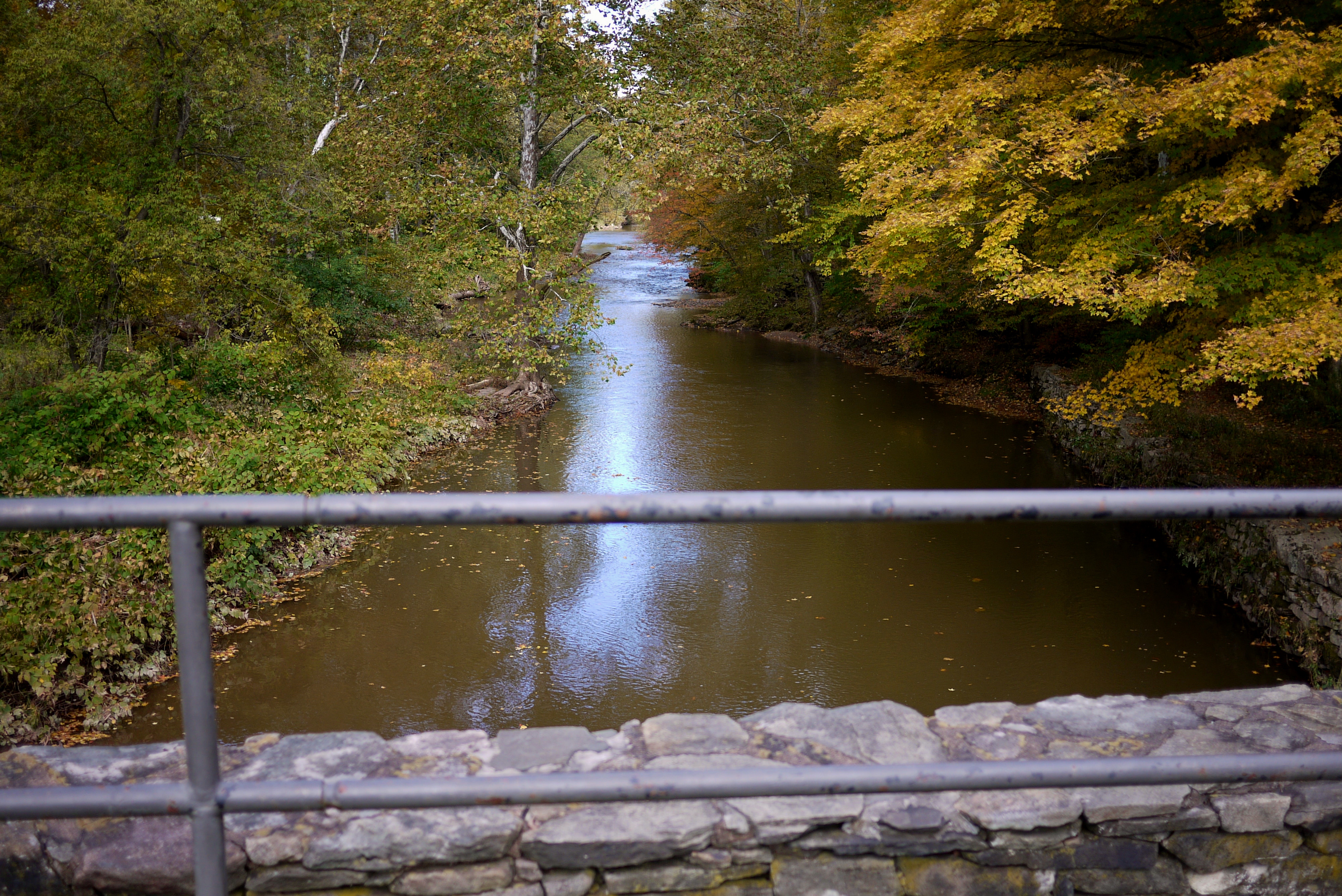
View from the Stone Arch Bridge

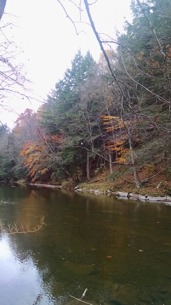
View from Skinners Falls campground

my favorite thing about working with children is getting to see how exactly they interpret and view the world through their writing and art.

Down the hill
HOBO Maintenance

Cold Delaware Shore

Deleware River from Skinners Falls Bridge
After The Splash

On the Delaware

Standard Oil Pump Station - Cochecton, NY

Delaware Water Gap,PA

Bouchoux Mountain Waterfall, New York

Standard Oil Pump Station - Cochecton, NY

Delaware River at Callicoon

Delaware River at Callicoon

Sullivan Vista

Milanville- Skinners Falls Bridge- Sullivan County NY (7)

040509 1403

040509 1402

Delaware River at Callicoon

Making Hay

Milanville- Skinners Falls Bridge- Sullivan County NY (8)
Topographic Map of T-, Manchester Township, PA, USA
Find elevation by address:

Places near T-, Manchester Township, PA, USA:
Peterson Lake
River Rd, Equinunk, PA, USA
62 Layton Rd
85 Old Rd, Damascus, PA, USA
157 Layton Rd
Hankins
River Rd, Equinunk, PA, USA
Manchester Township
Manchester Township
Manchester Township
Manchester Township
119 Schuman Rd
352 Hellmers Hill Rd
372 Hellmers Hill Rd
10482 Ny-97
299 Co Rd 132
162 Rodenburg Rd
Creek Road
Callicoon
352 Hellmers Rd
Recent Searches:
- Elevation of Corso Fratelli Cairoli, 35, Macerata MC, Italy
- Elevation of Tallevast Rd, Sarasota, FL, USA
- Elevation of 4th St E, Sonoma, CA, USA
- Elevation of Black Hollow Rd, Pennsdale, PA, USA
- Elevation of Oakland Ave, Williamsport, PA, USA
- Elevation of Pedrógão Grande, Portugal
- Elevation of Klee Dr, Martinsburg, WV, USA
- Elevation of Via Roma, Pieranica CR, Italy
- Elevation of Tavkvetili Mountain, Georgia
- Elevation of Hartfords Bluff Cir, Mt Pleasant, SC, USA