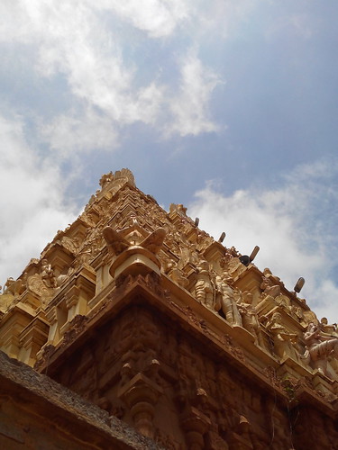
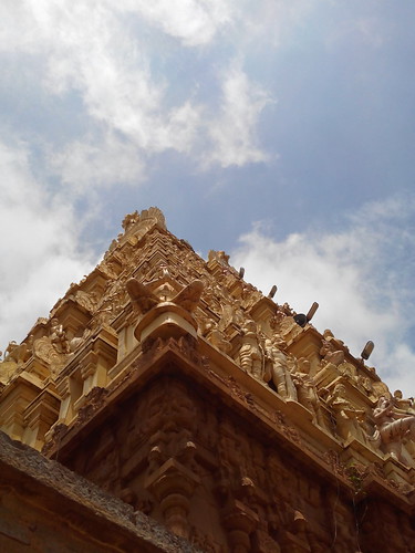
Elevation of T.Lingamdinne, Andhra Pradesh, India
Location: India > Andhra Pradesh > Kurnool >
Longitude: 78.6228504
Latitude: 15.19868
Elevation: 210m / 689feet
Barometric Pressure: 99KPa
Related Photos:
Topographic Map of T.Lingamdinne, Andhra Pradesh, India
Find elevation by address:

Places near T.Lingamdinne, Andhra Pradesh, India:
Rudravaram
Narasapuram
Alamuru
Mandaluru
Peddakambalur - Rudravaram Road
Pedda Kambalur
Chattram
Chandalur Road
Peruru
Meeseva Perur
R Krishna Puram
Kotakonda
Patha Kandukur
Chinna Bondanam
Chinna Bodhanam
Kothapalle
Kondu Palle
Boyala Kuntla
Godiganuru
Brahmana Palle
Recent Searches:
- Elevation of Corso Fratelli Cairoli, 35, Macerata MC, Italy
- Elevation of Tallevast Rd, Sarasota, FL, USA
- Elevation of 4th St E, Sonoma, CA, USA
- Elevation of Black Hollow Rd, Pennsdale, PA, USA
- Elevation of Oakland Ave, Williamsport, PA, USA
- Elevation of Pedrógão Grande, Portugal
- Elevation of Klee Dr, Martinsburg, WV, USA
- Elevation of Via Roma, Pieranica CR, Italy
- Elevation of Tavkvetili Mountain, Georgia
- Elevation of Hartfords Bluff Cir, Mt Pleasant, SC, USA


