Elevation map of Sydney NSW, Australia
Location: Australia > New South Wales >
Longitude: 151.206990
Latitude: -33.867486
Elevation: 19m / 62feet
Barometric Pressure: 101KPa
Elevation Map:
Satellite Map:
Related Photos:
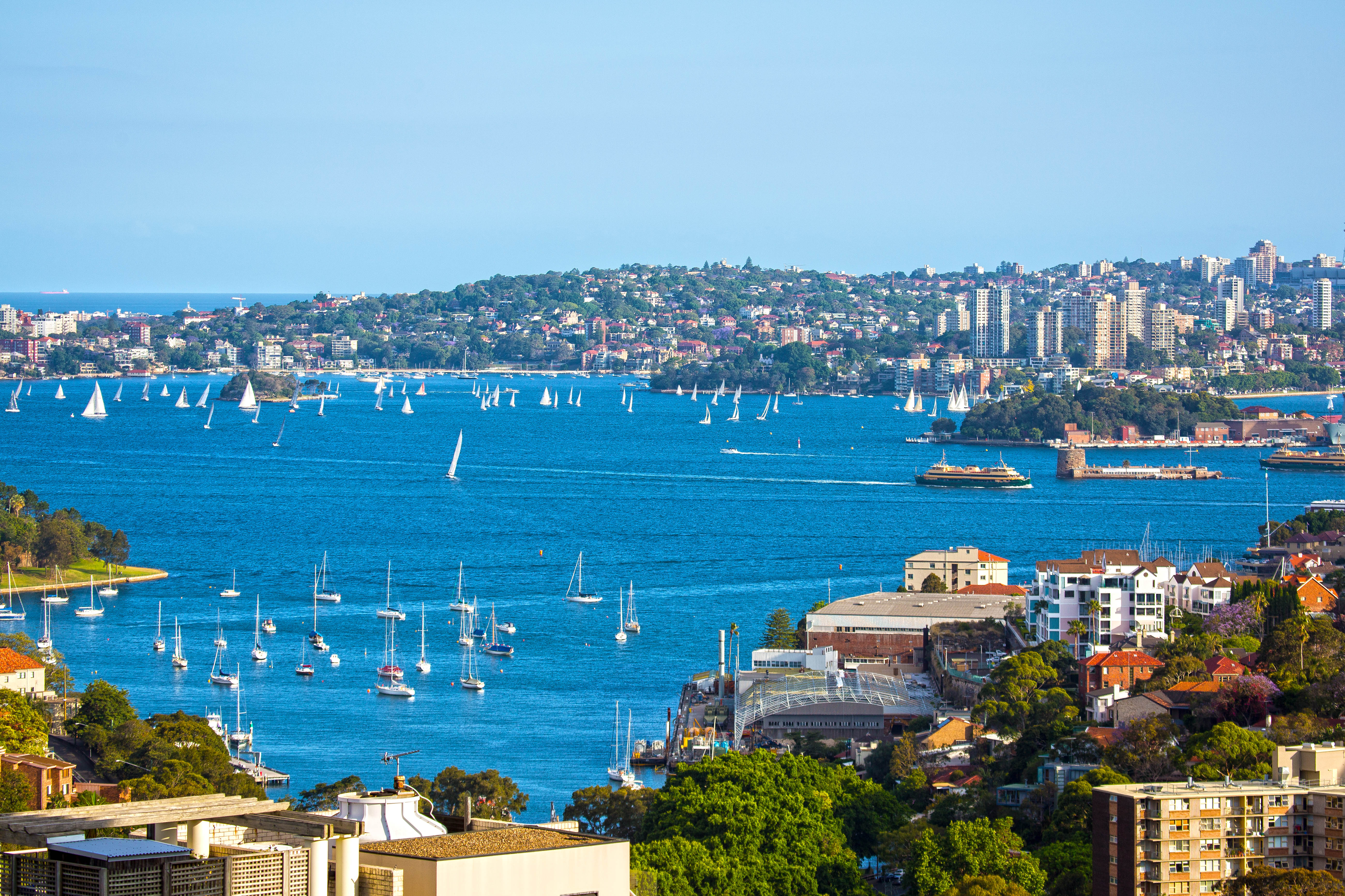
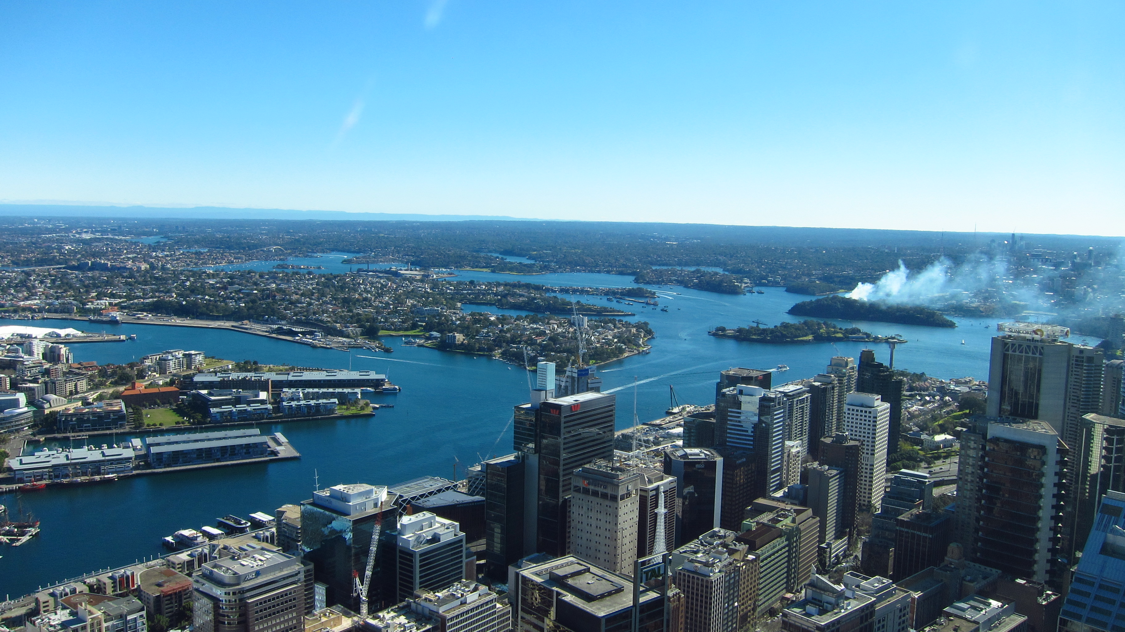
Sydney Harbour
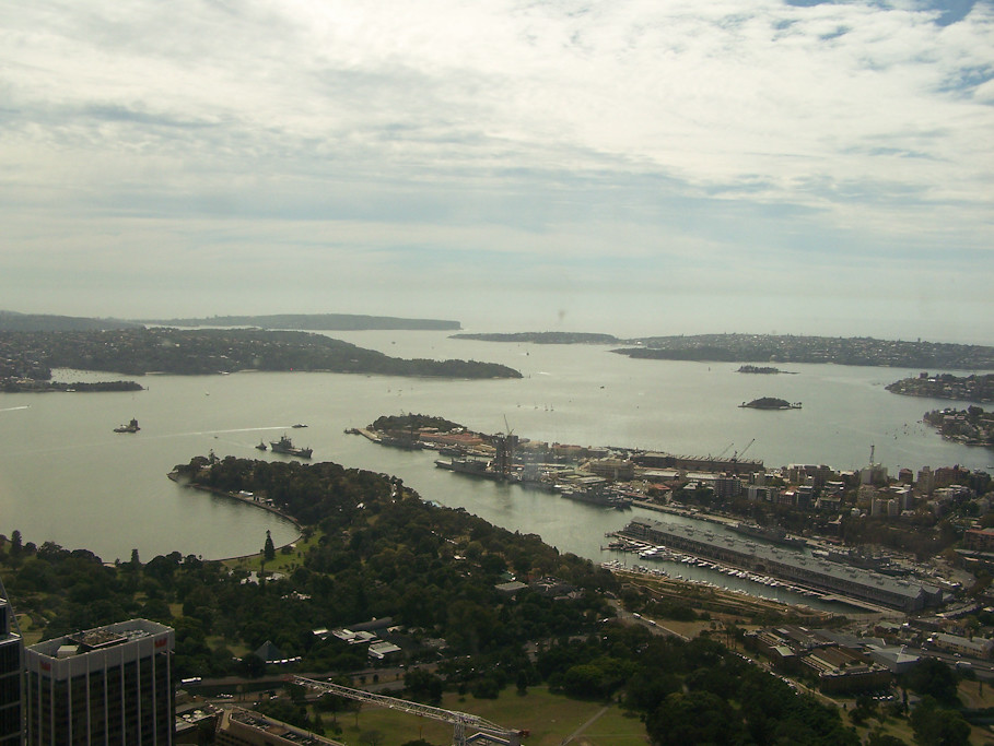
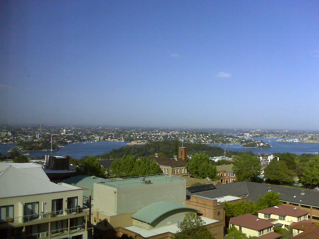
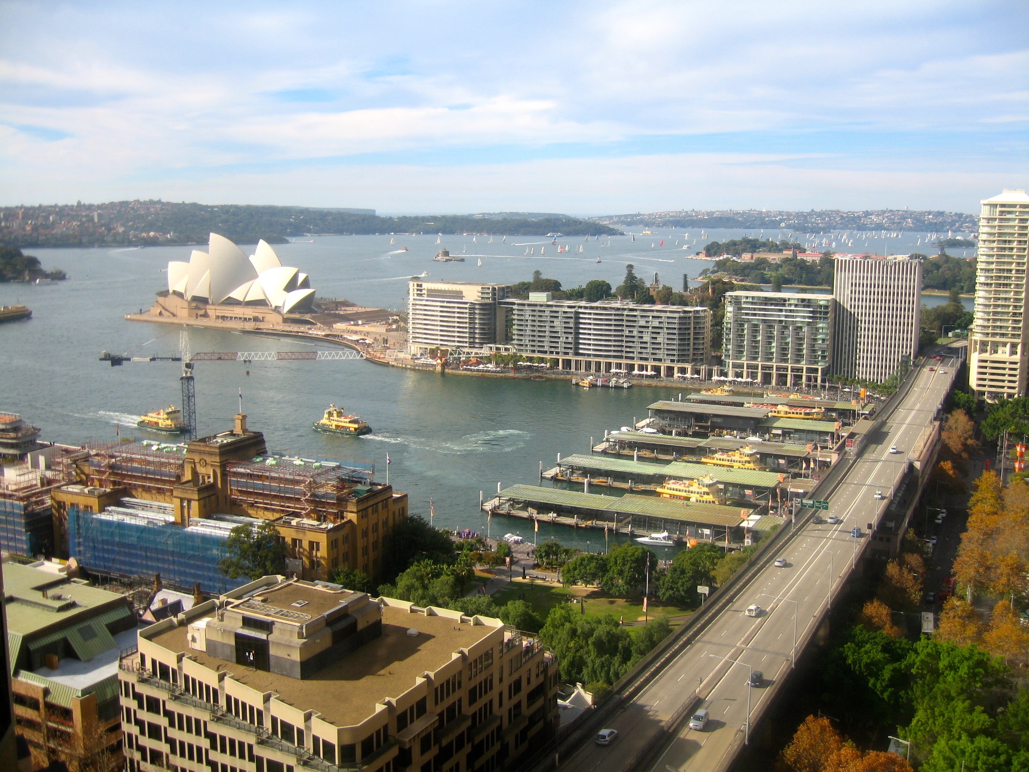
View from AMP Tower, Sydney towards Manly
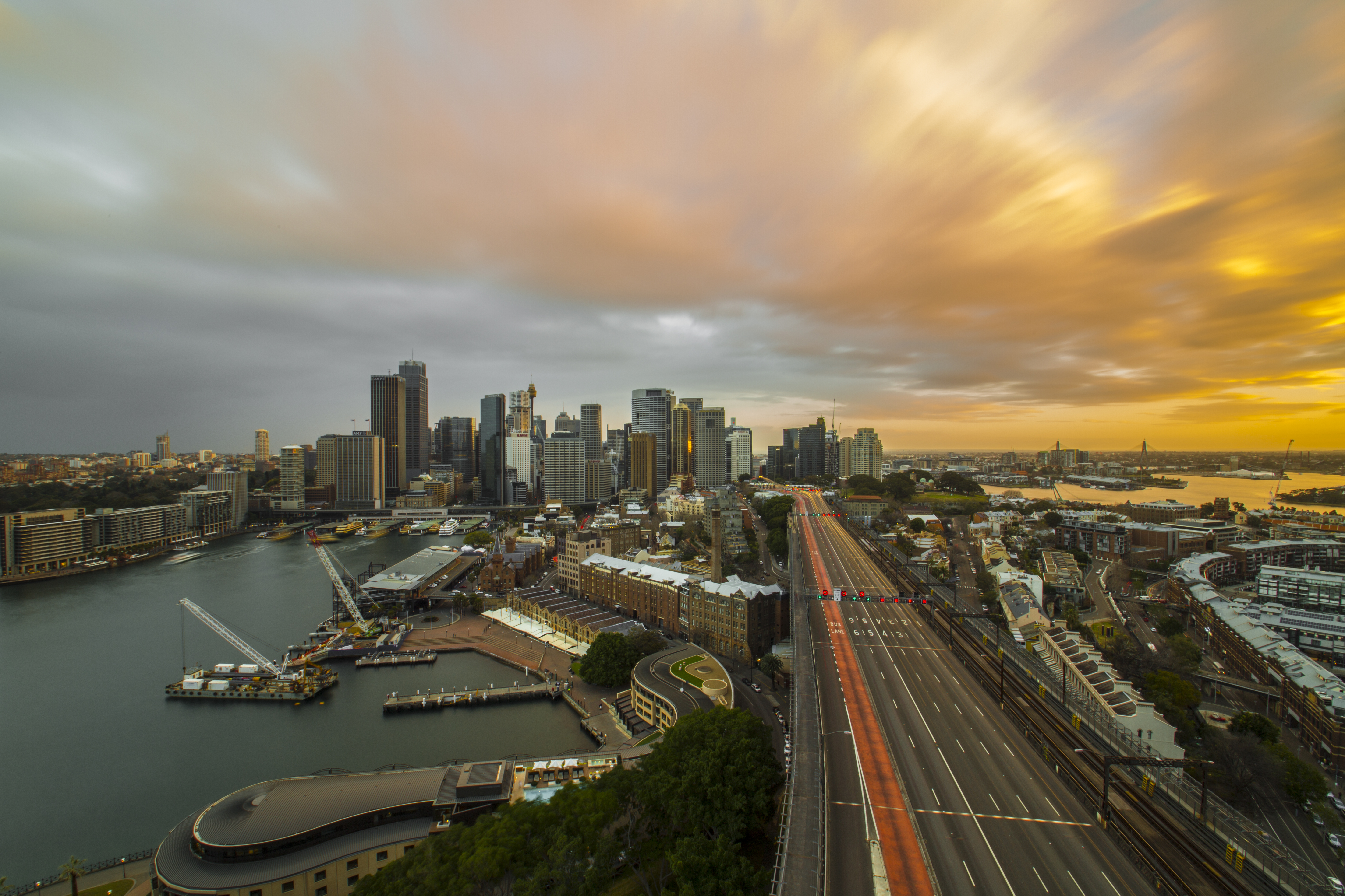
Magnificent Sunset view on the harbour

Barangaroo Reserve
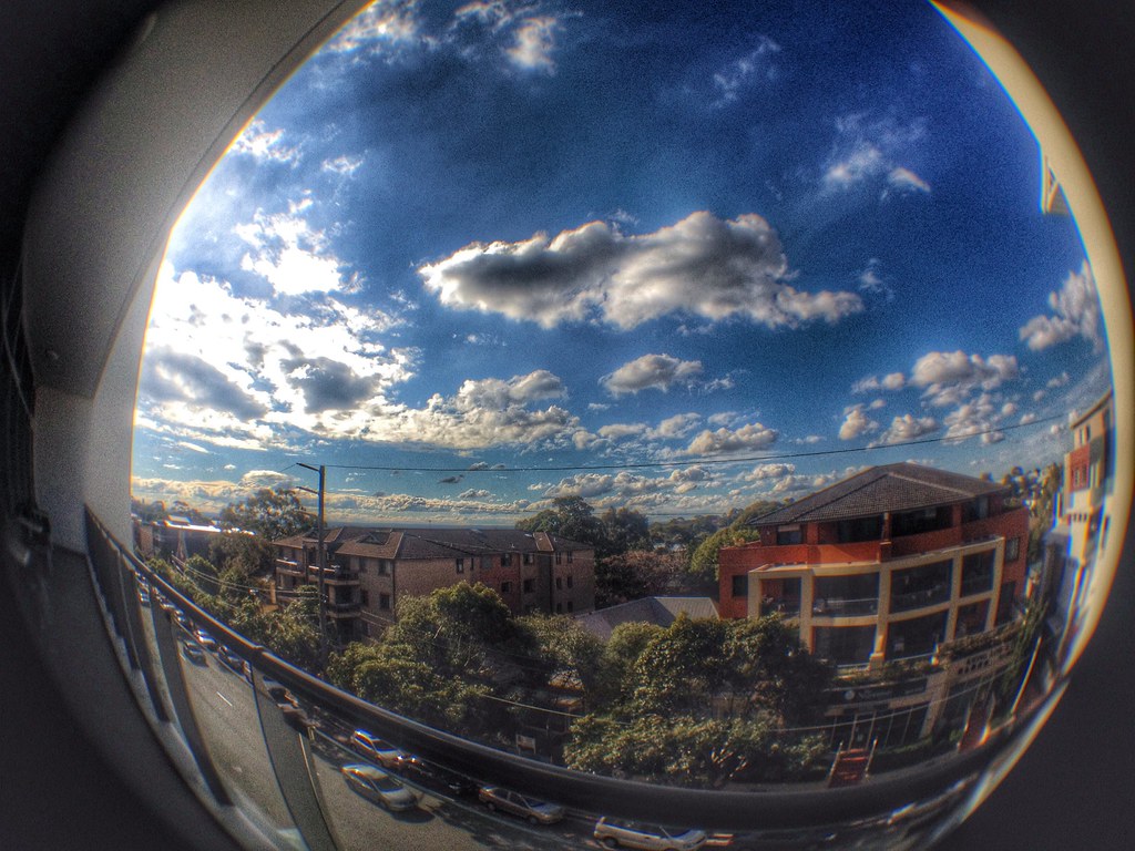
The View from the Balcony
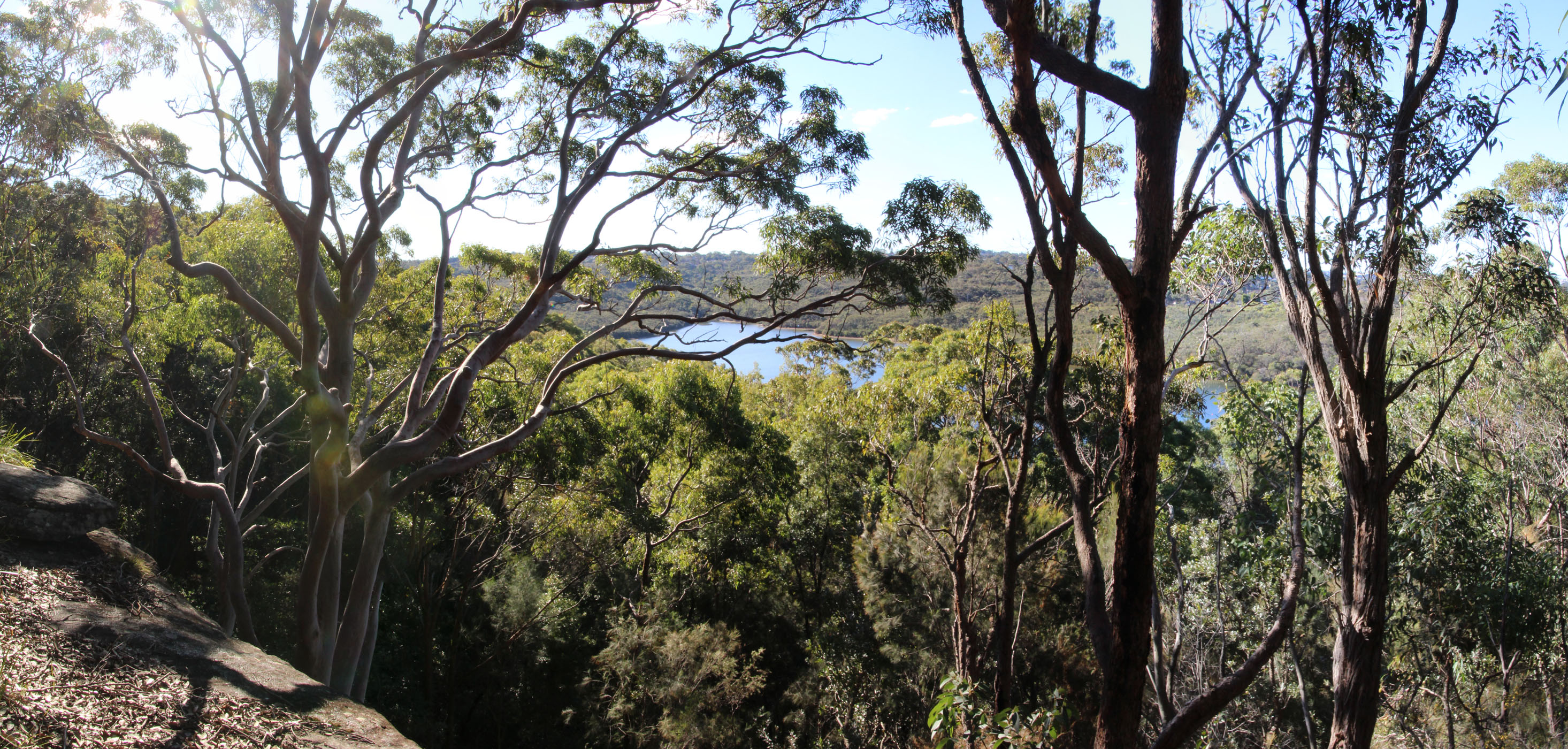
Manly Dam panorama
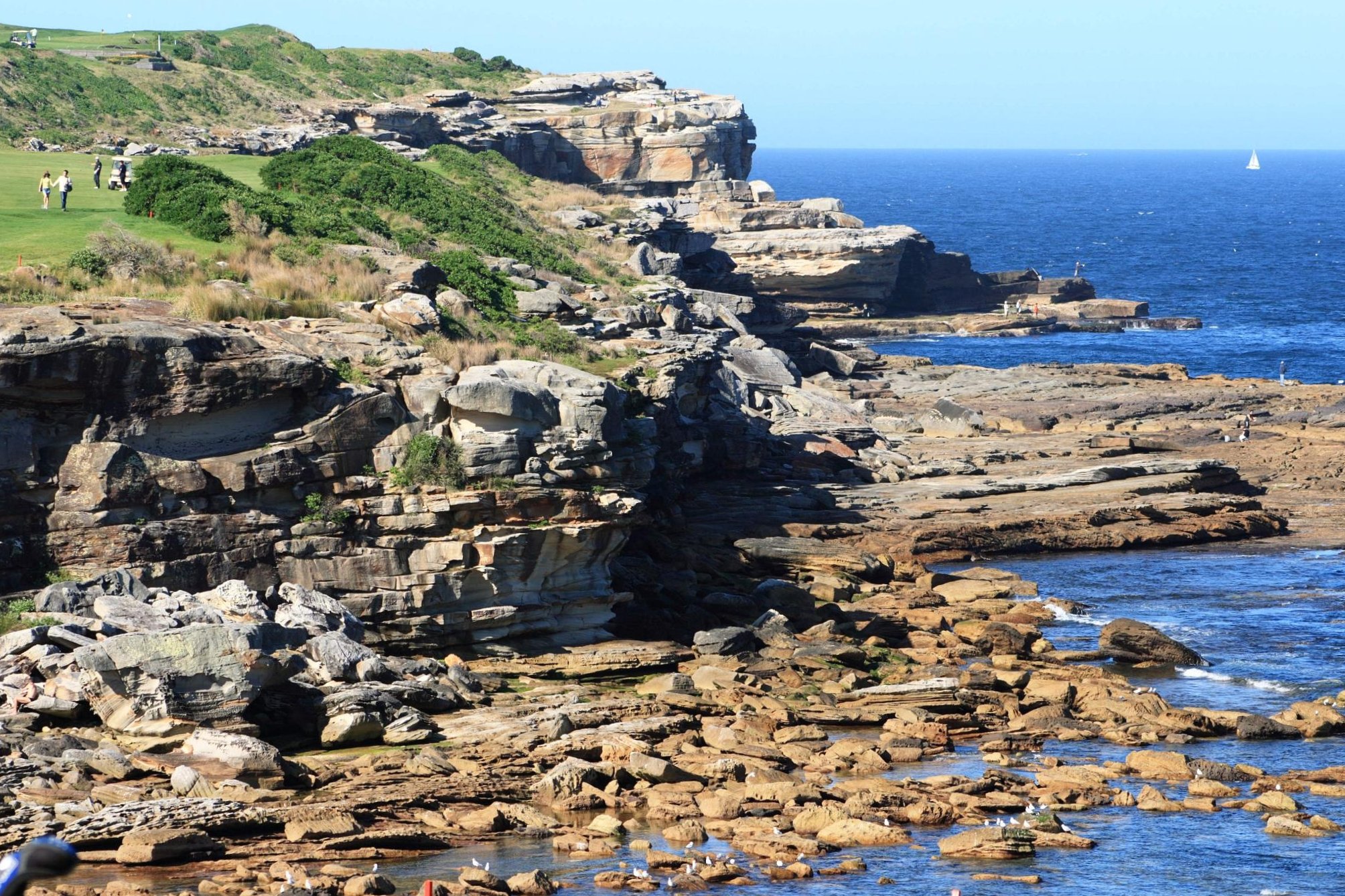
coastal view near little bay
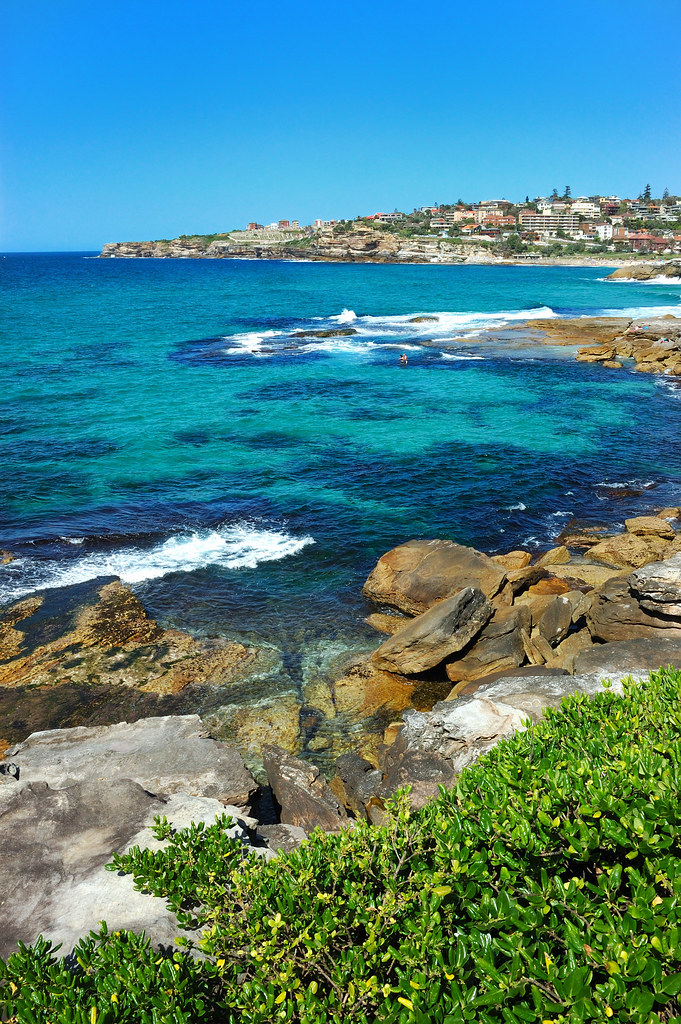
Bondi-Bronte
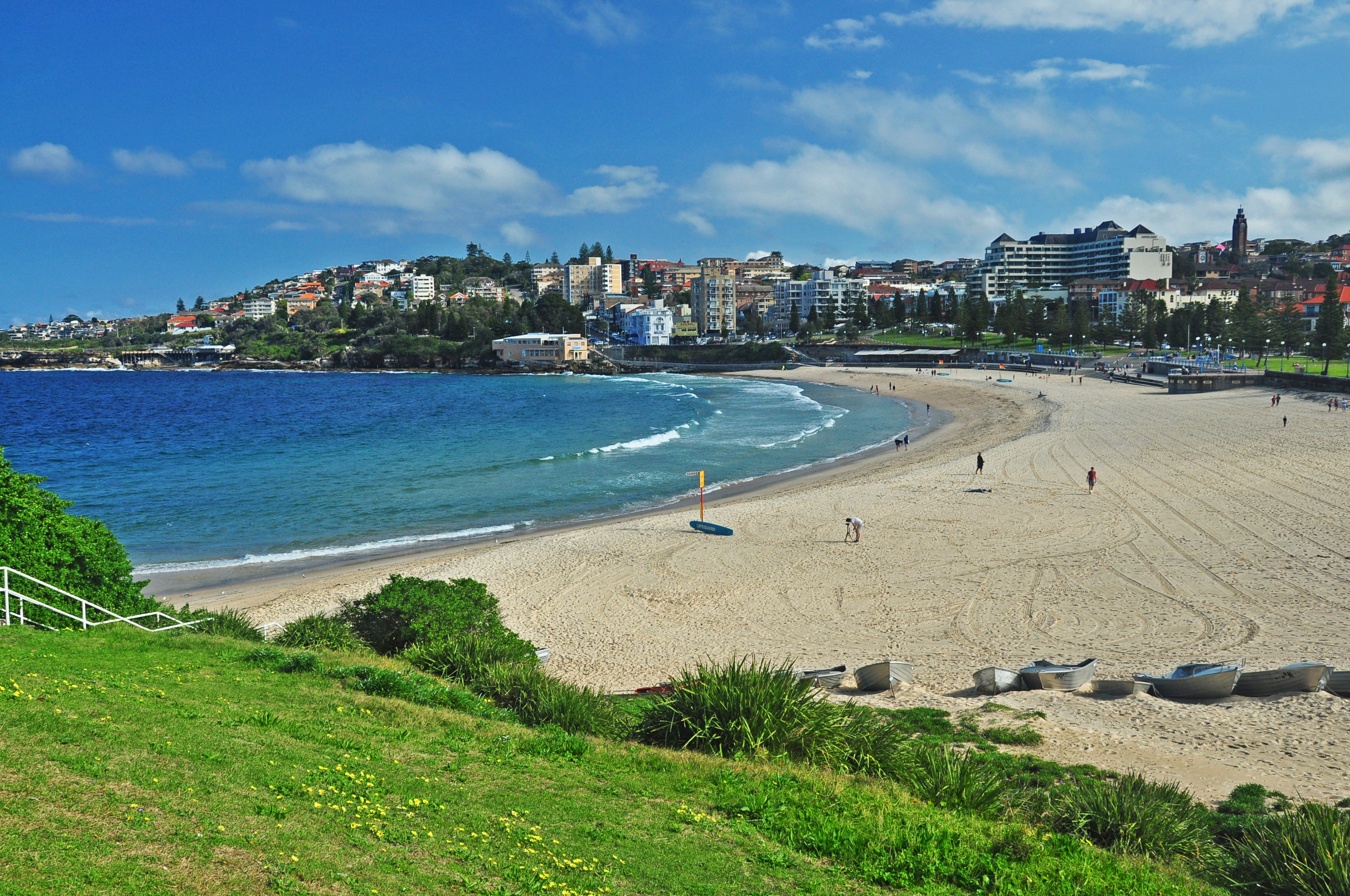
Coogee Beach
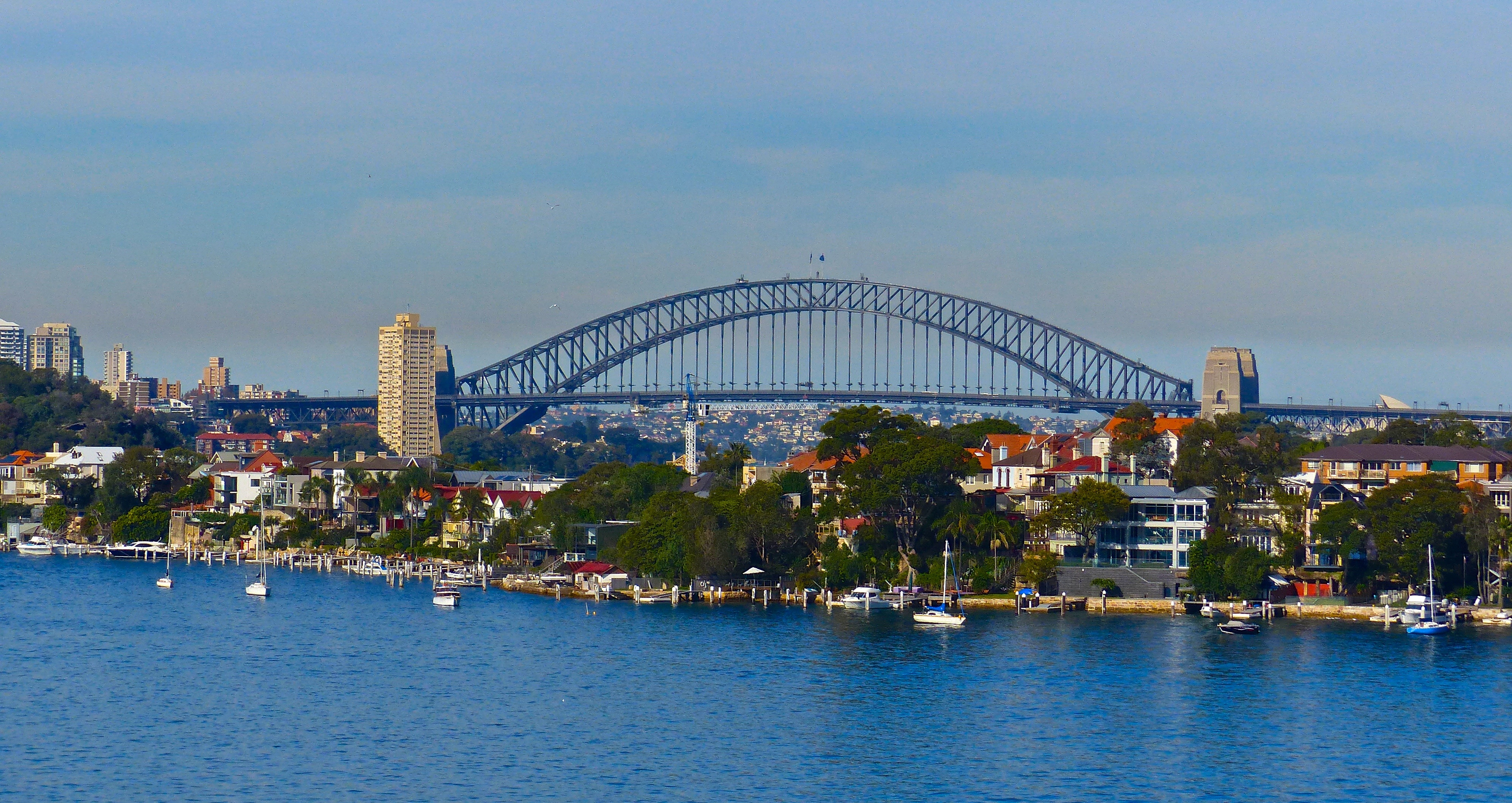
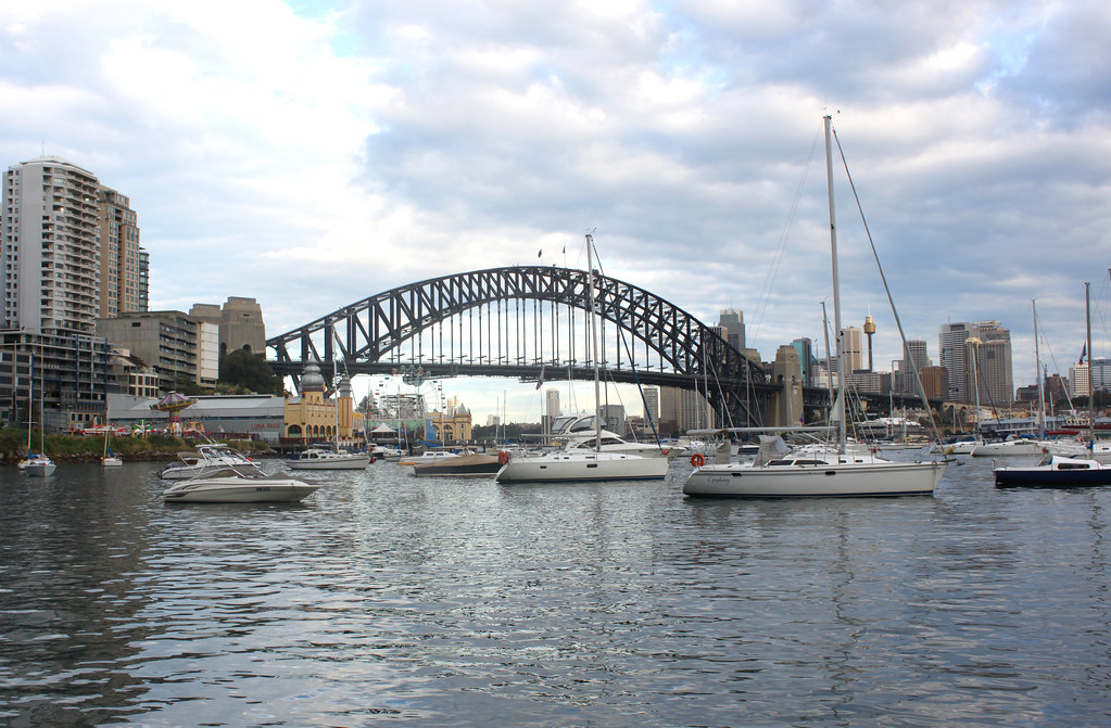
Sydney Harbour Bridge
View from my office

View from the Opera House
Lavender Bay View

View from Sydney Tower (Centrepoint)

Sydney 2014
Sydney 2014
Sydney 2014
View from my hotel

#view

I finally understand why people live near the ocean
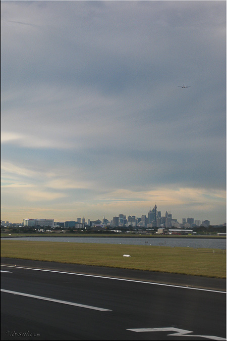
Leaving Sydney Behind
Topographic Map of Sydney NSW, Australia
Find elevation by address:

Places in Sydney NSW, Australia:
Places near Sydney NSW, Australia:
Sydney
York Street
275 George St
420 George St
Western Sydney University
Saint James Centre
New South Wales
151 Castlereagh St
187 Macquarie St
Macquarie Apartments
Reiby Place
Barangaroo
1 Barangaroo Ave
50 Bridge St
Circular Quay
The Rocks
18 Campbell St
Sydney Opera House
74-80 Reservoir St
Haymarket
Recent Searches:
- Elevation of Corso Fratelli Cairoli, 35, Macerata MC, Italy
- Elevation of Tallevast Rd, Sarasota, FL, USA
- Elevation of 4th St E, Sonoma, CA, USA
- Elevation of Black Hollow Rd, Pennsdale, PA, USA
- Elevation of Oakland Ave, Williamsport, PA, USA
- Elevation of Pedrógão Grande, Portugal
- Elevation of Klee Dr, Martinsburg, WV, USA
- Elevation of Via Roma, Pieranica CR, Italy
- Elevation of Tavkvetili Mountain, Georgia
- Elevation of Hartfords Bluff Cir, Mt Pleasant, SC, USA