Elevation of Swords Creek, VA, USA
Location: United States > Virginia > Russell County > New Garden >
Longitude: -81.917900
Latitude: 37.0362229
Elevation: 568m / 1864feet
Barometric Pressure: 95KPa
Elevation Map:
Satellite Map:
Related Photos:

John Burk 2

Pinnacle Nature Preserve - Trail sign - Copper Ridge
: : My Virginia : : Windy Hill
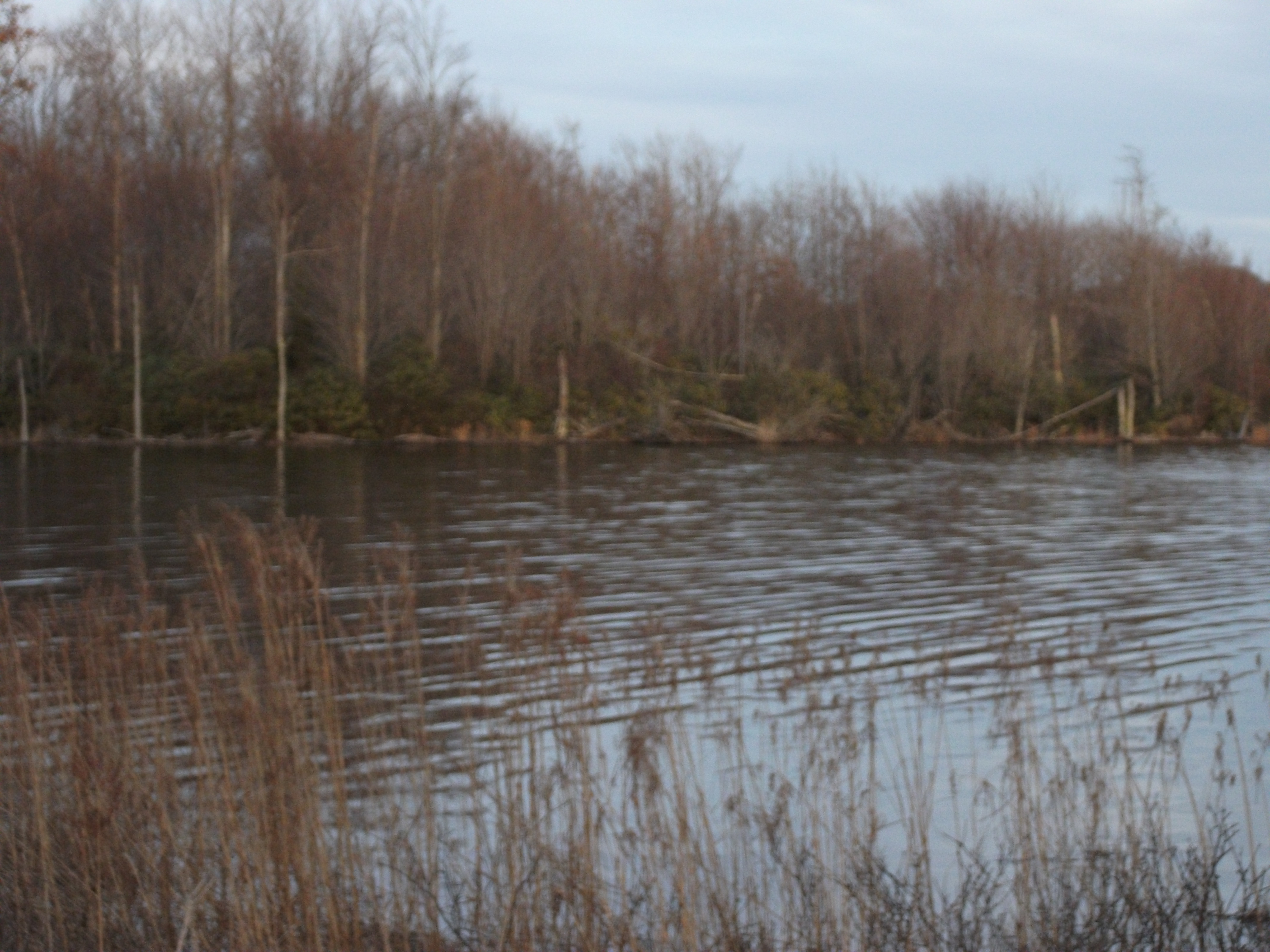
Laurel Bed Lake
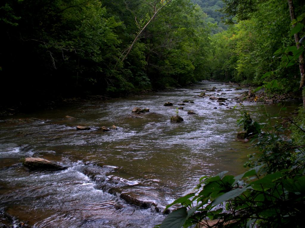
Virginia Creeper, VA
Big Cedar Creek, Pinnacle Natural Area Preserve, Virginia
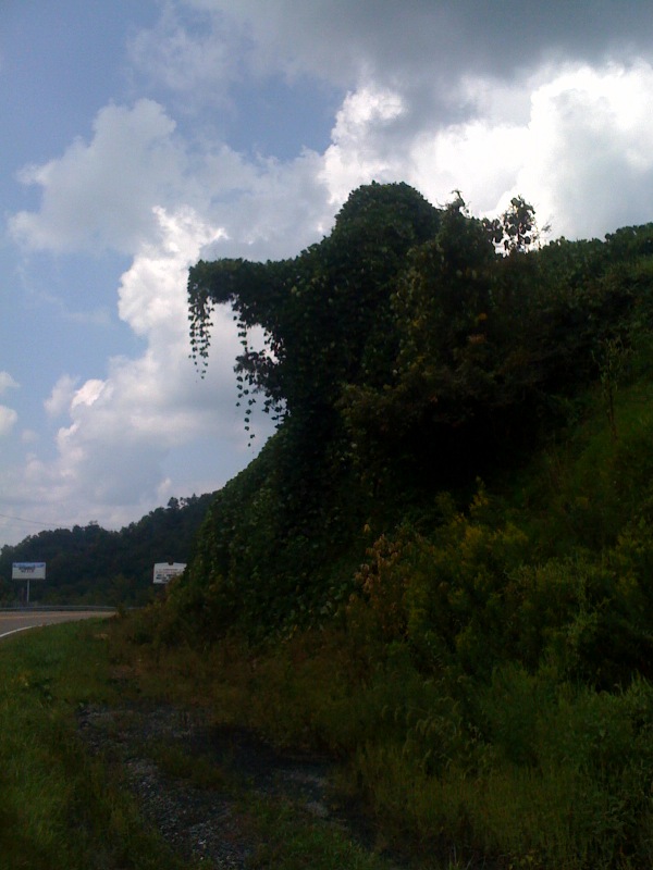
Elephant ivy

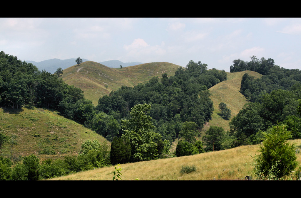
Pinnacle Natural Preserve

Bridge 302-01
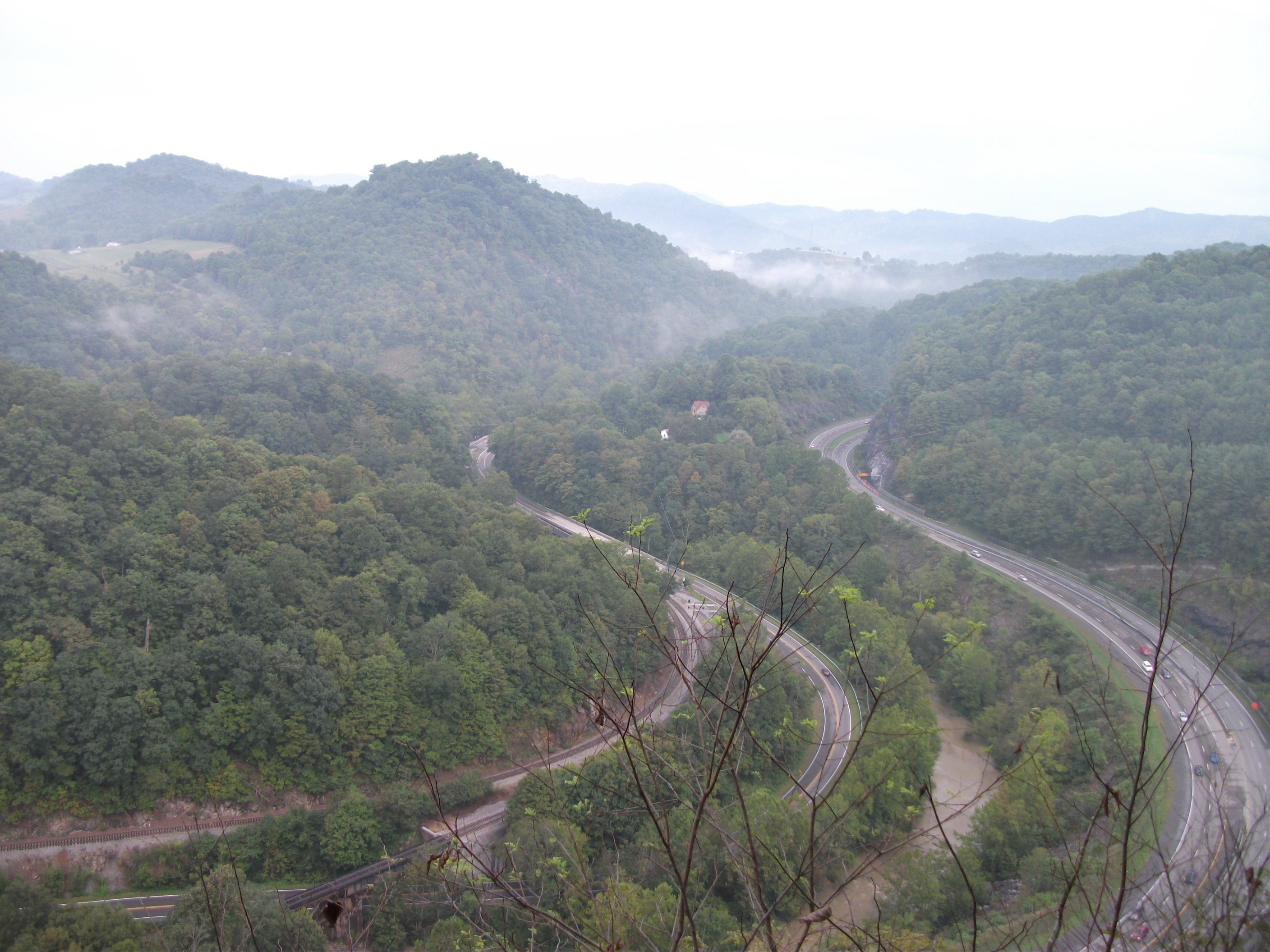
Cedar Bluff Overlook

Laurel Bed Lake dam
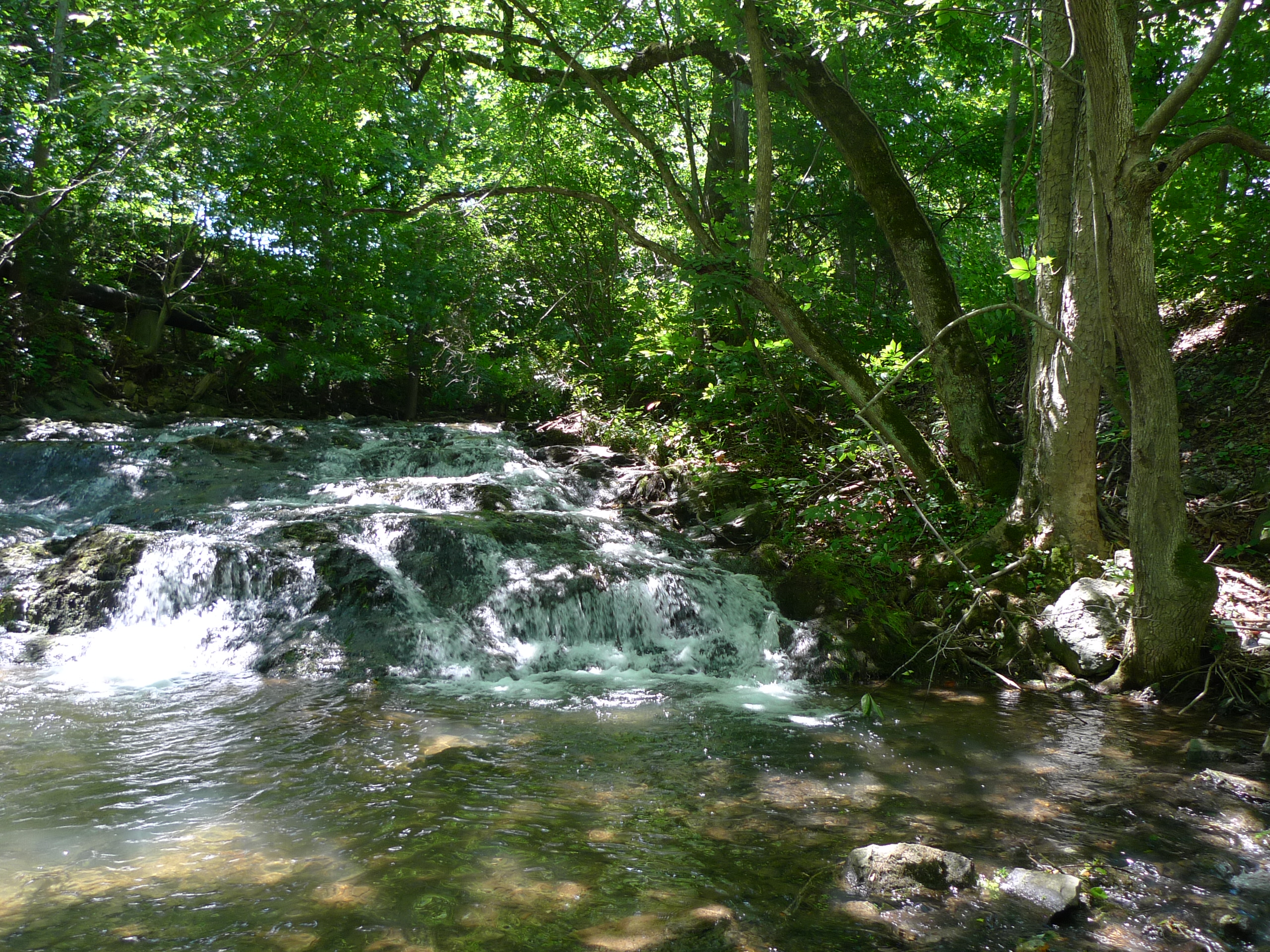
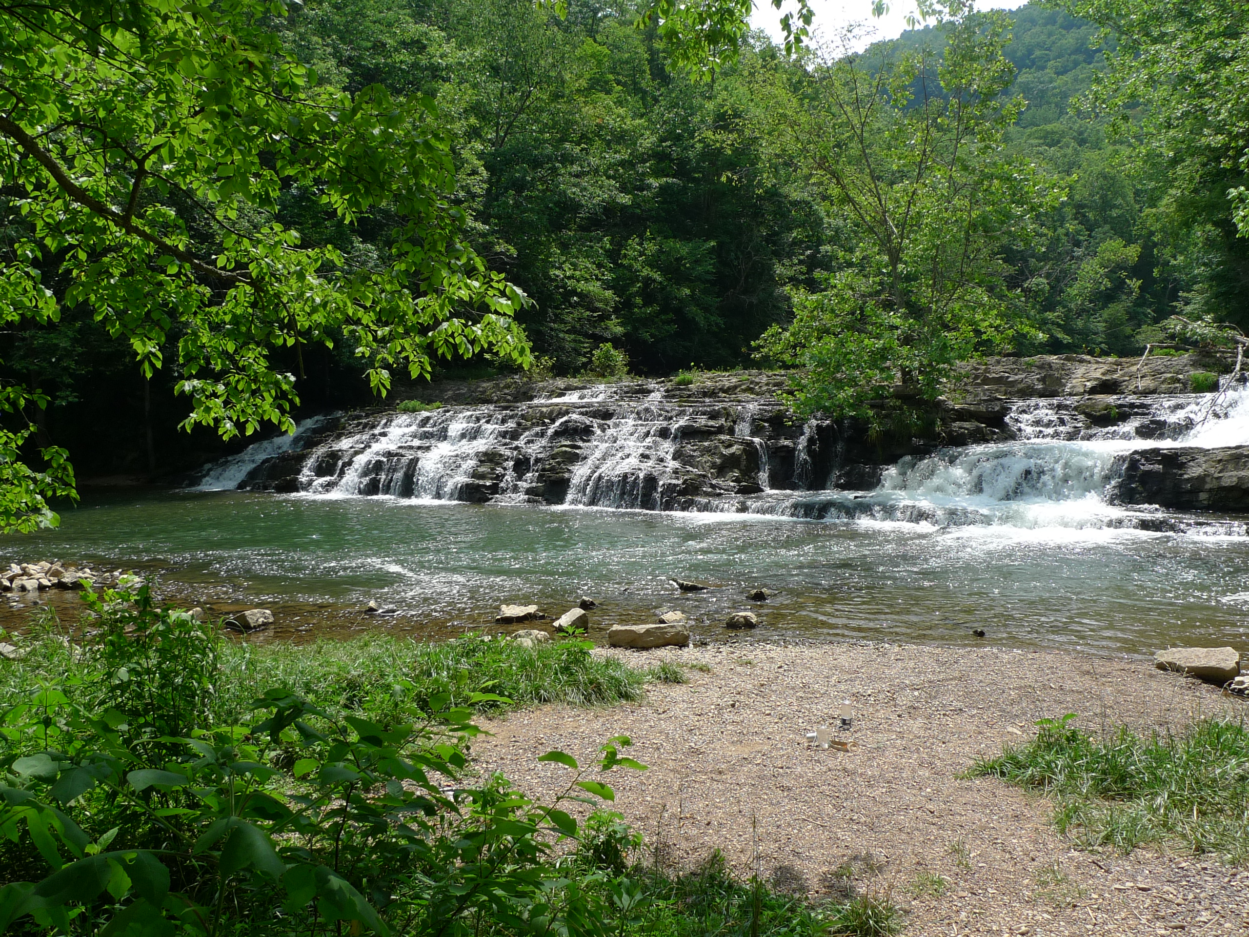
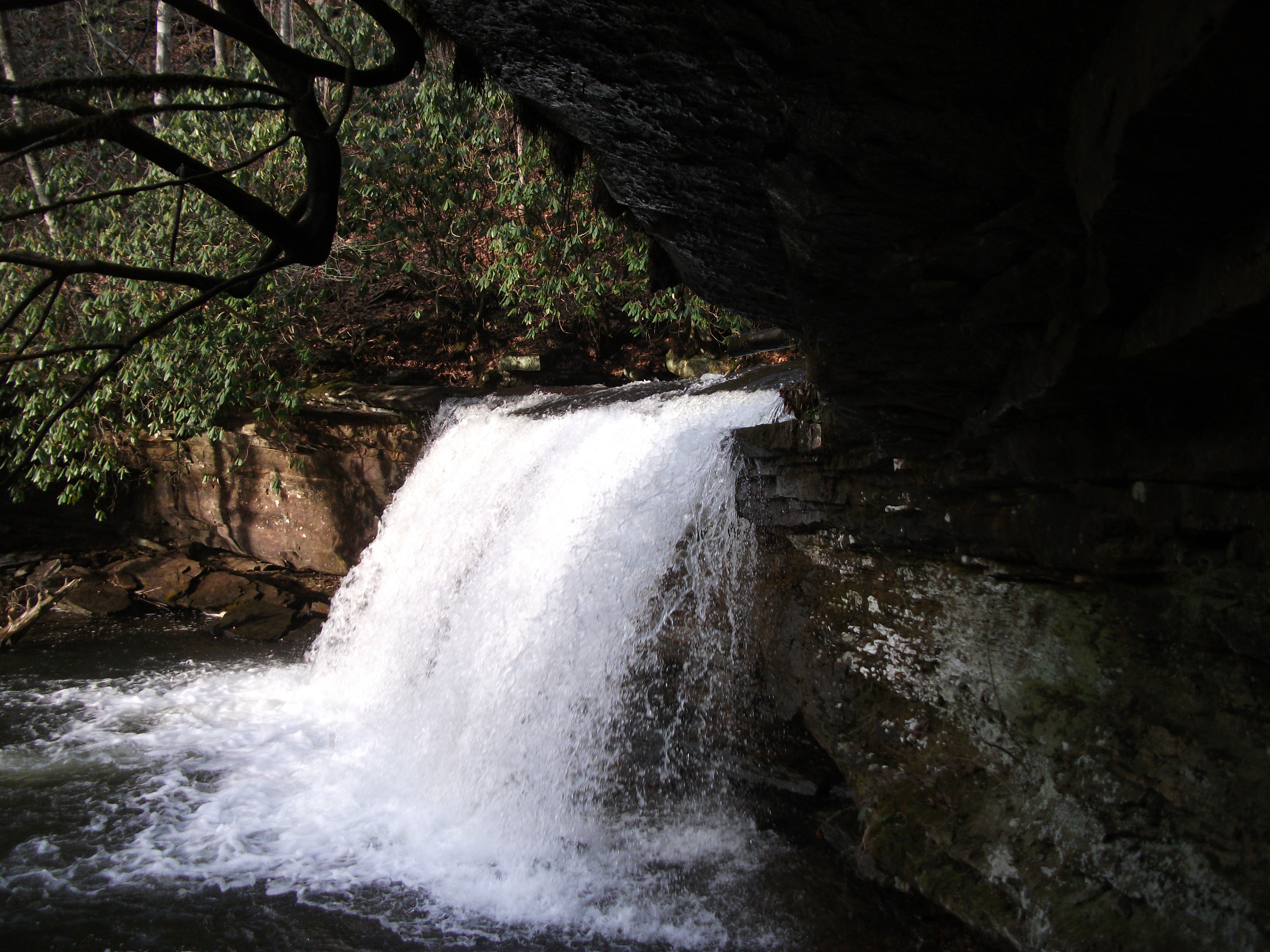
Little Cedar Creek Falls
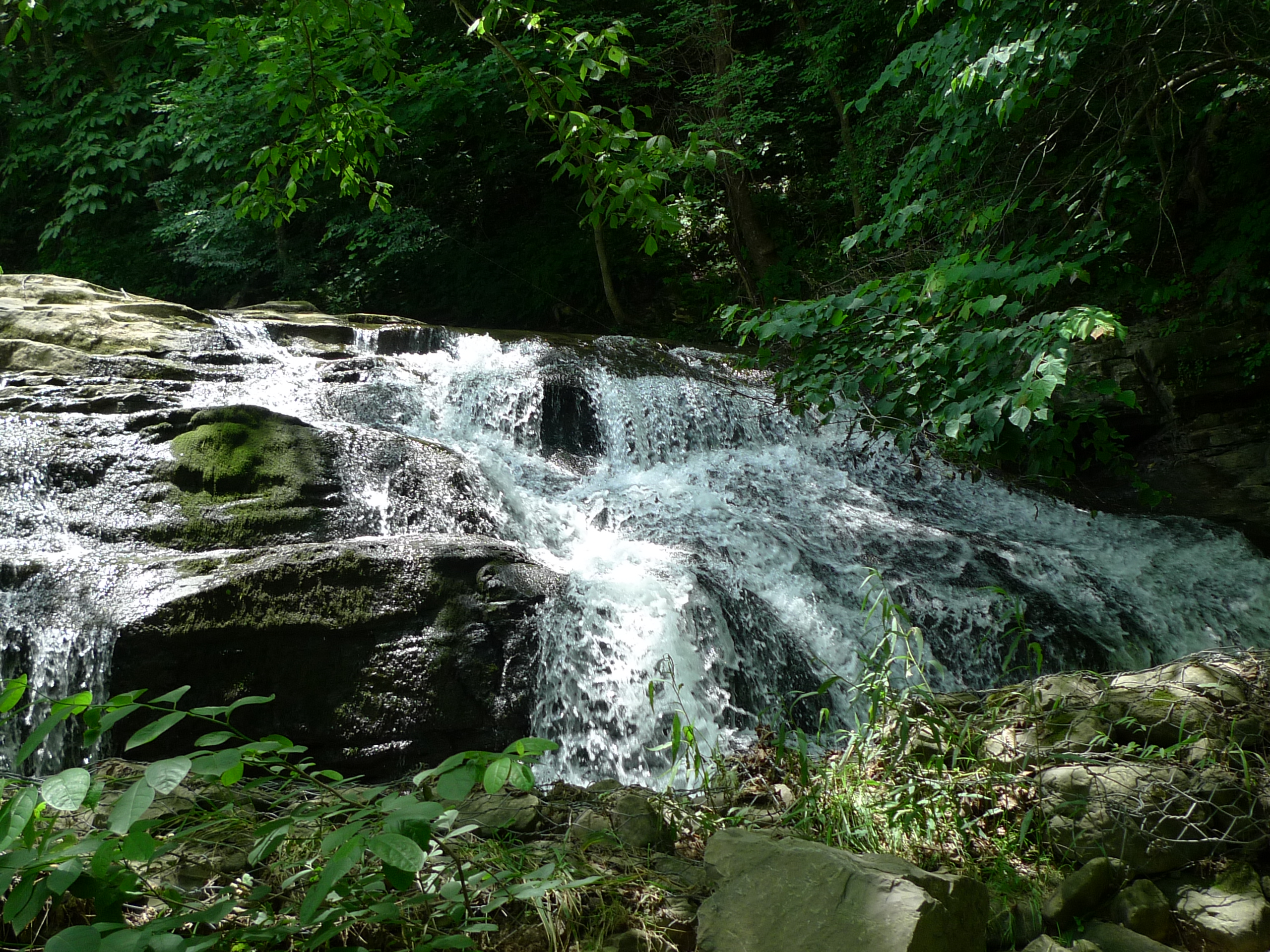
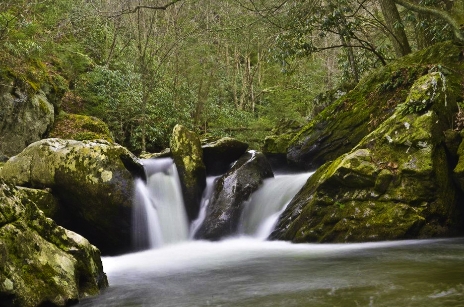
Big Falls on Big Cedar

Brought to You By The Letter 'S'
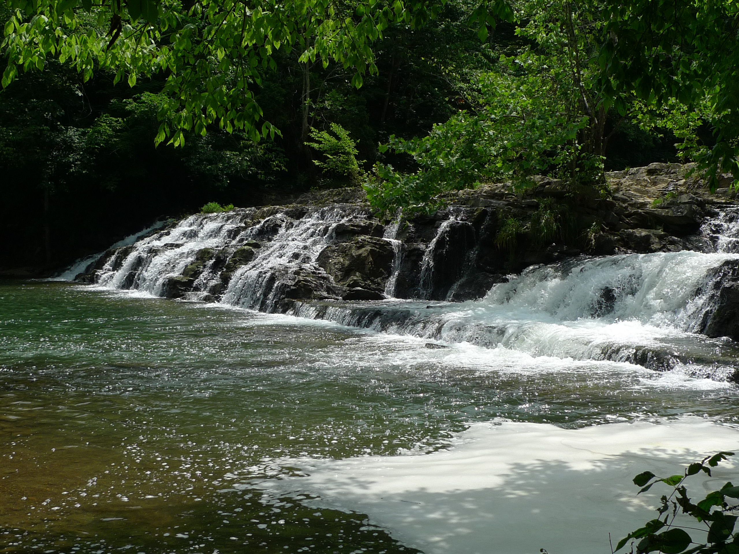
Big Falls on Big Cedar

RICHLANDS HIGH SCHOOL
Big Falls on Big Cedar
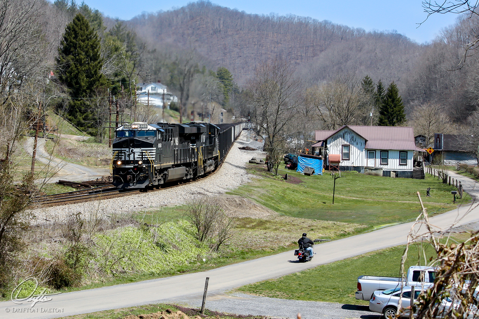
Country Transportation
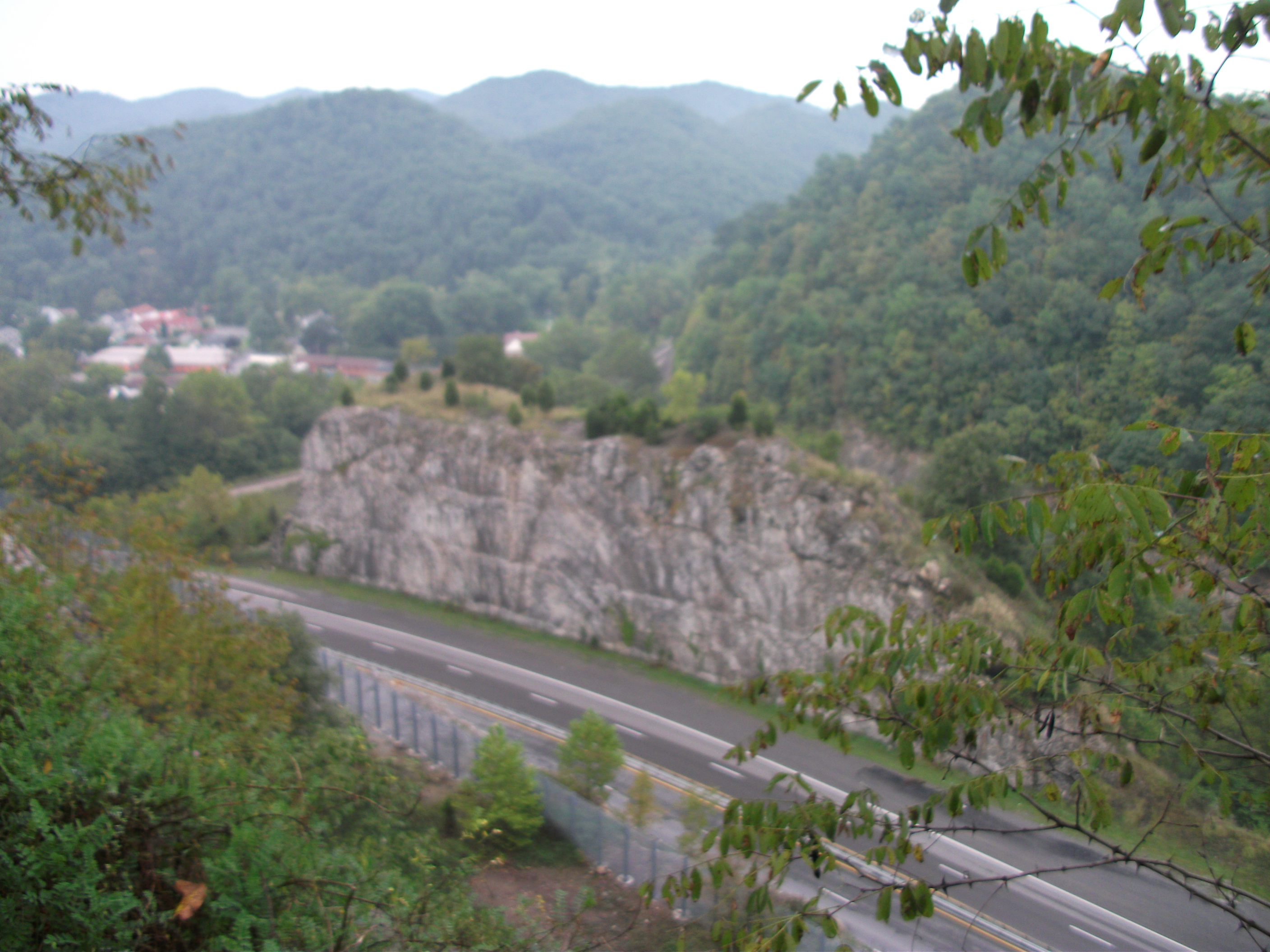
Cedar Bluff Overlook
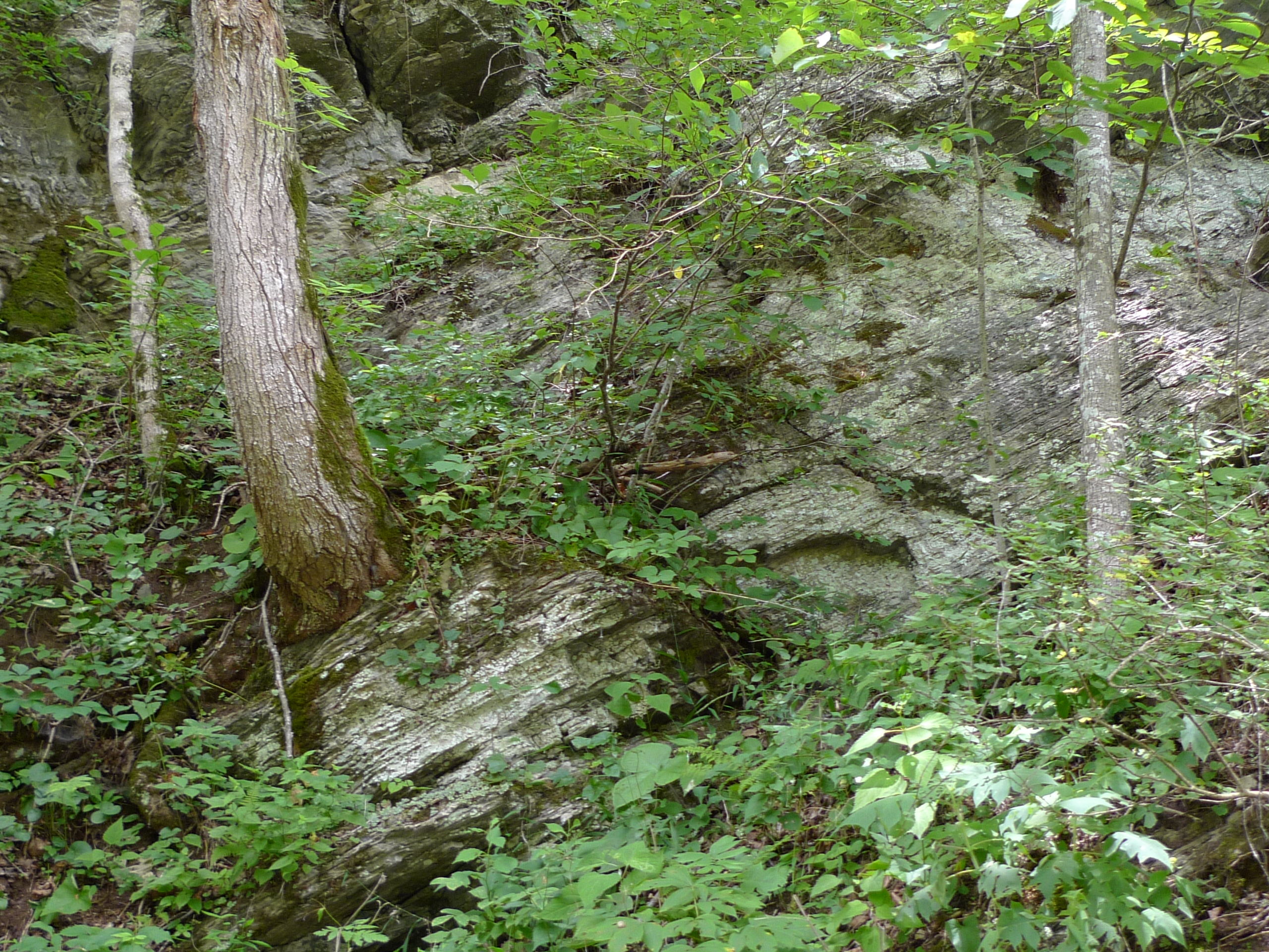
Rocks grow trees ?
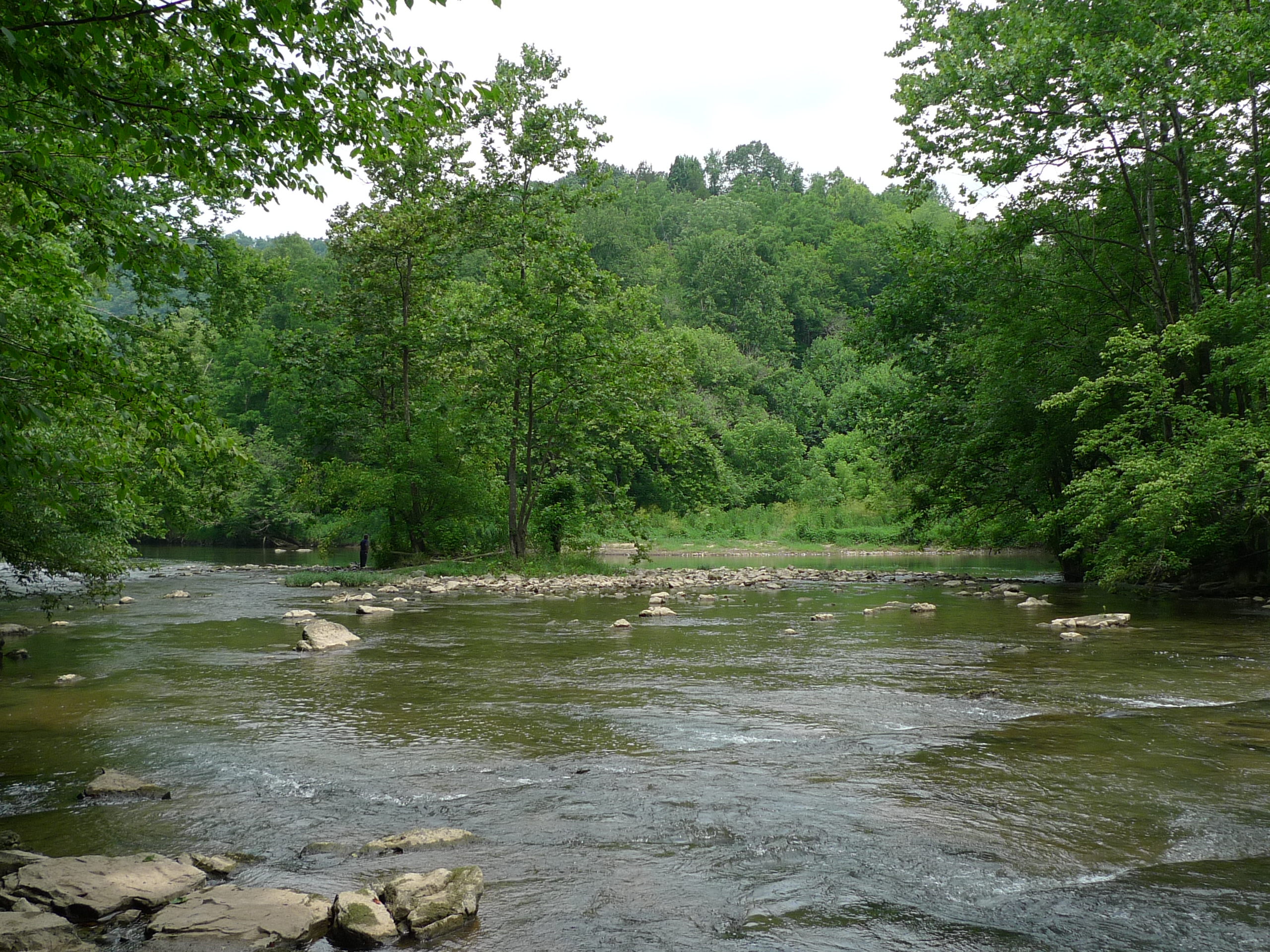
Confluence - Big Cedar and Clinch Rivers
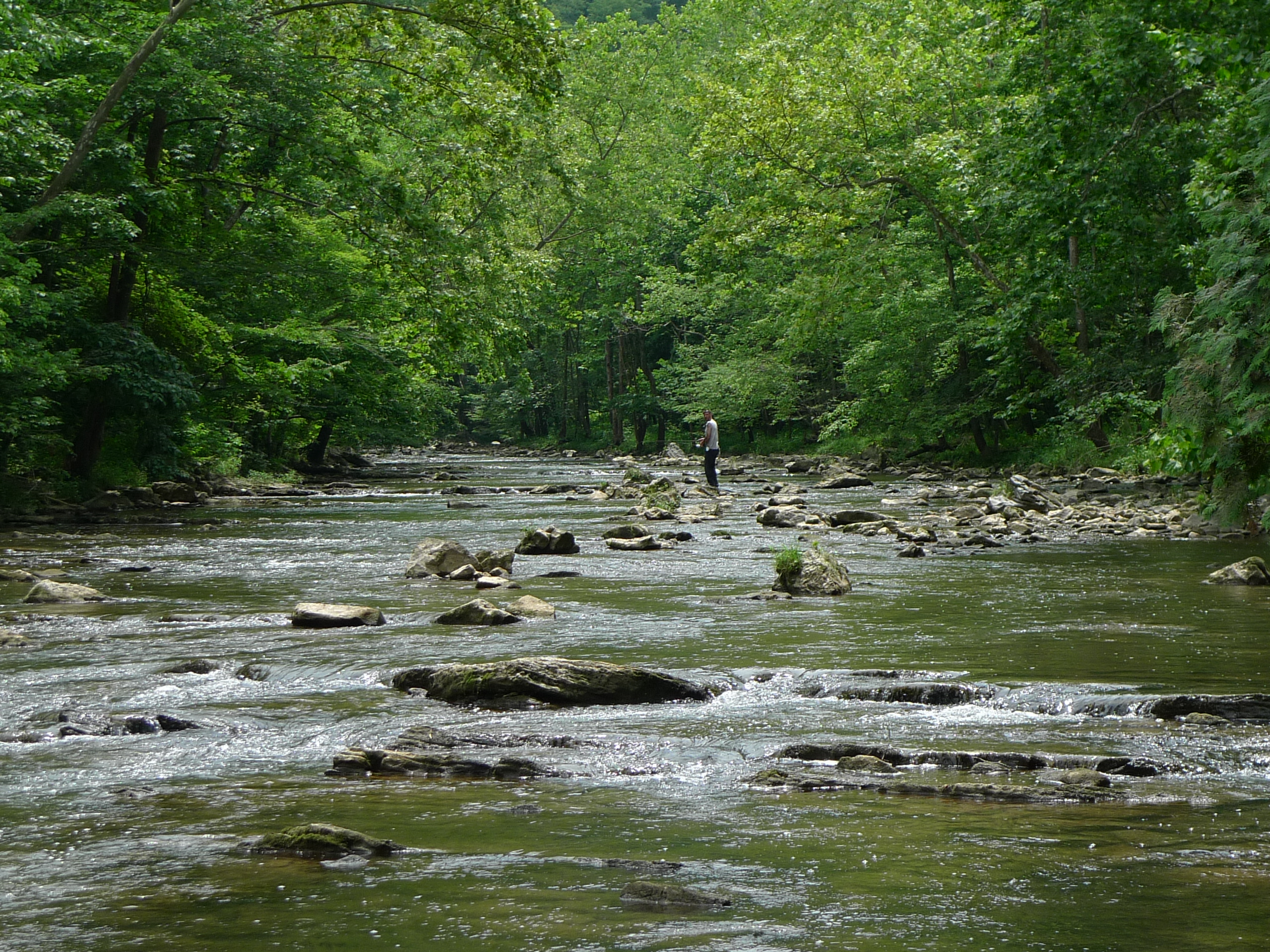
Big Cedar fisherman
Little Tumbling Falls
Topographic Map of Swords Creek, VA, USA
Find elevation by address:

Places in Swords Creek, VA, USA:
Places near Swords Creek, VA, USA:
Hickory Junction
686 Green Acres Rd
New Garden
Honaker
Tunnel Hill
Trail of the Lonesome Pine, Rosedale, VA, USA
Trail of the Lonesome Pine, Lebanon, VA, USA
Russell County
667 Co Rd 791
Spring City Rd, Cleveland, VA, USA
Cleveland
Mcreynolds Lane
Chaffin Lane
Locust Lane
Bailey Drive
Castlewood
North Hazel Mountain Road
336 Robert Phillips Dr
Flat Spur
Recent Searches:
- Elevation of Corso Fratelli Cairoli, 35, Macerata MC, Italy
- Elevation of Tallevast Rd, Sarasota, FL, USA
- Elevation of 4th St E, Sonoma, CA, USA
- Elevation of Black Hollow Rd, Pennsdale, PA, USA
- Elevation of Oakland Ave, Williamsport, PA, USA
- Elevation of Pedrógão Grande, Portugal
- Elevation of Klee Dr, Martinsburg, WV, USA
- Elevation of Via Roma, Pieranica CR, Italy
- Elevation of Tavkvetili Mountain, Georgia
- Elevation of Hartfords Bluff Cir, Mt Pleasant, SC, USA