Elevation of Swinton, Duns TD11, UK
Location: United Kingdom > Scotland > Scottish Borders >
Longitude: -2.262352
Latitude: 55.720662
Elevation: 64m / 210feet
Barometric Pressure: 101KPa
Elevation Map:
Satellite Map:
Related Photos:

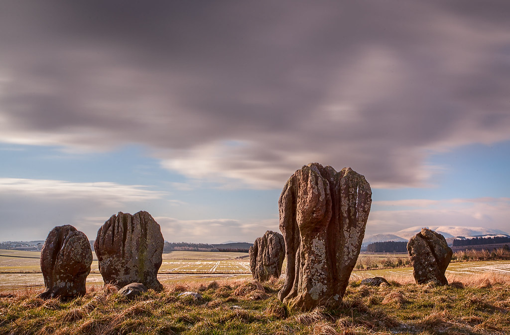
Duddo Standing Stones
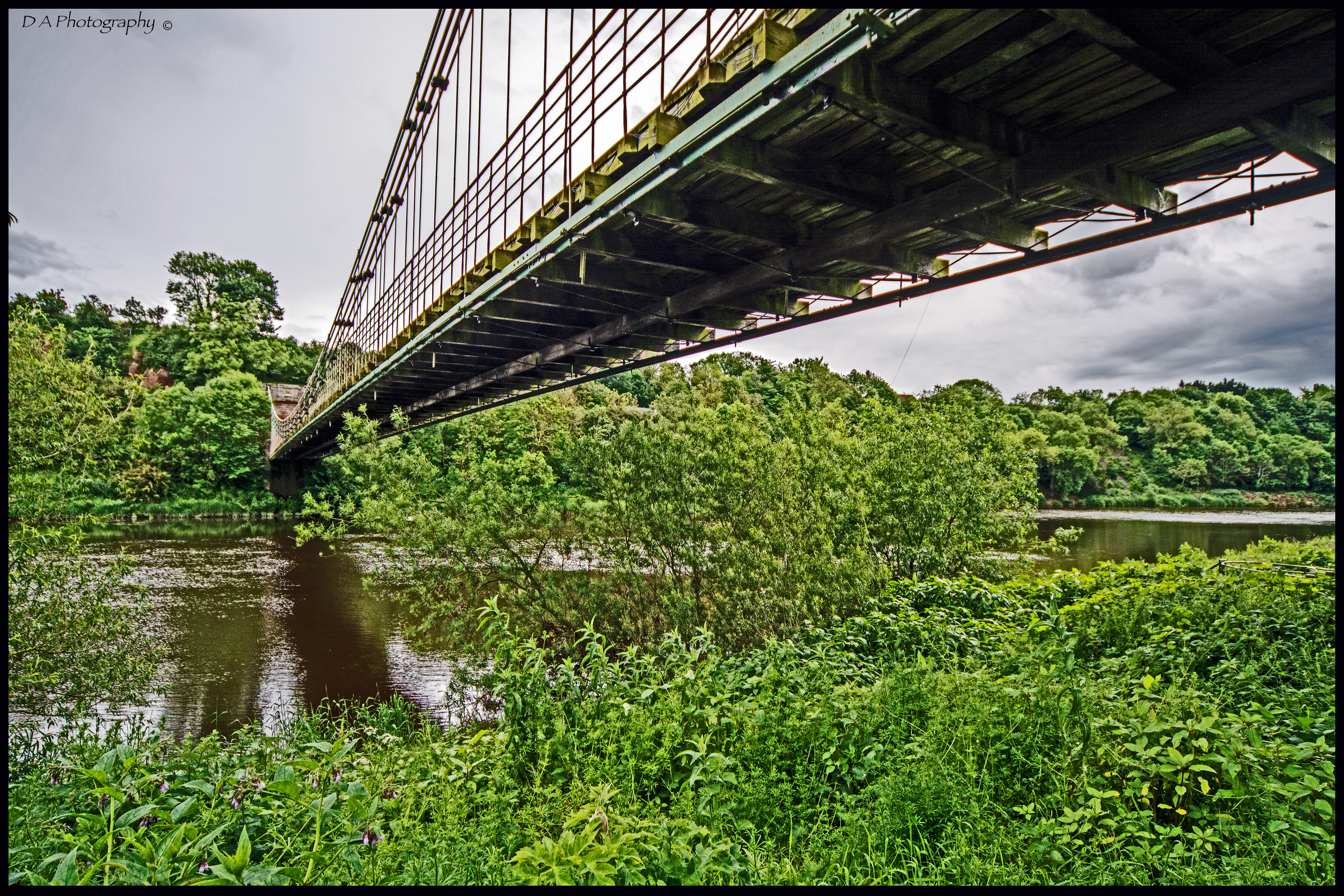
View under Chain Bridge, looking East from Scottish Borders
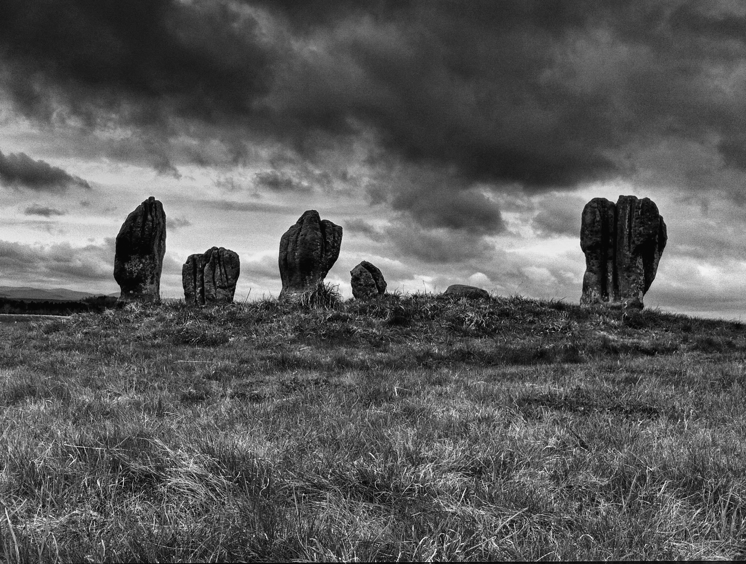
Duddo Stone Circle
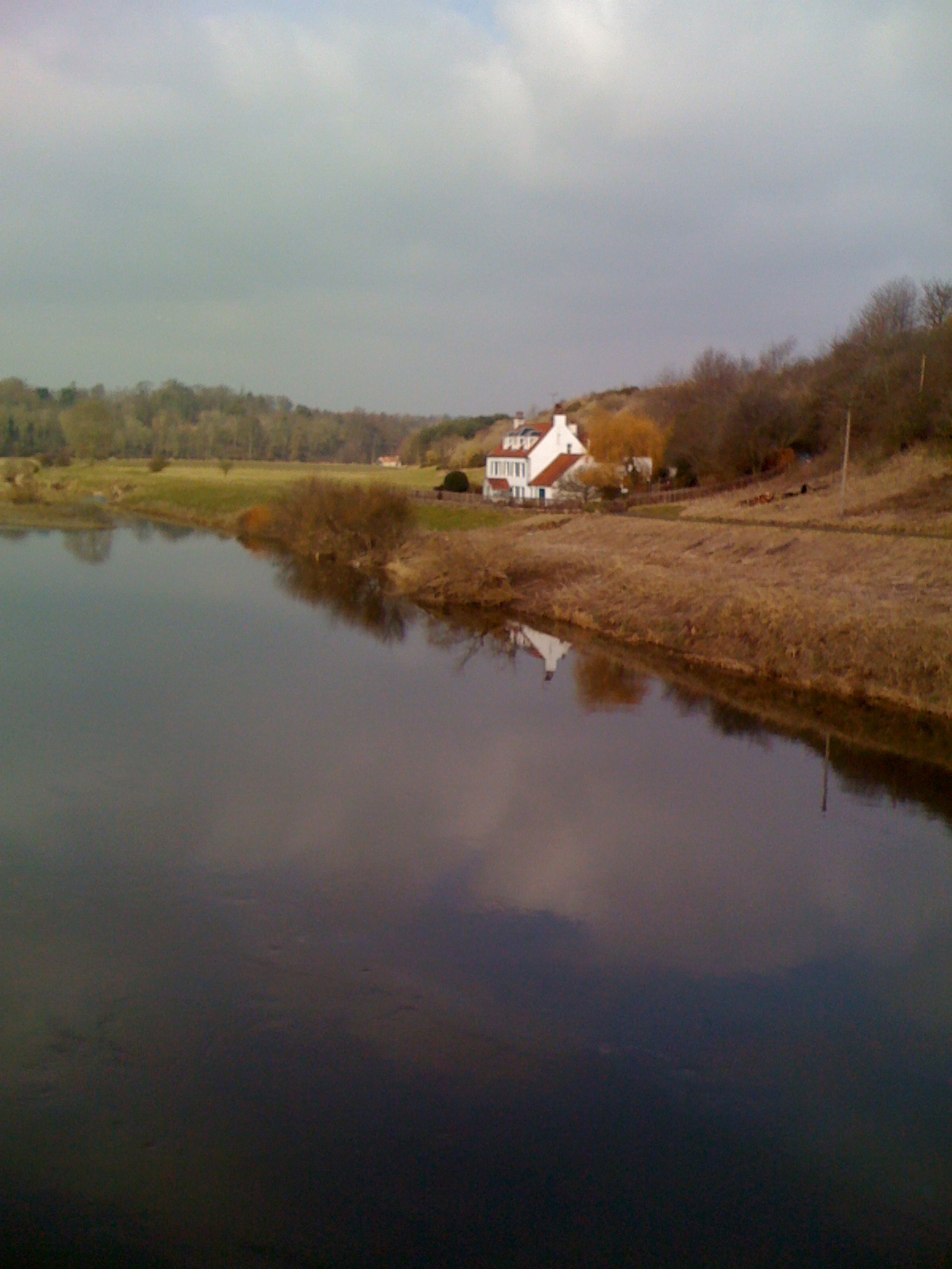
View from Chain Bridge, looking East

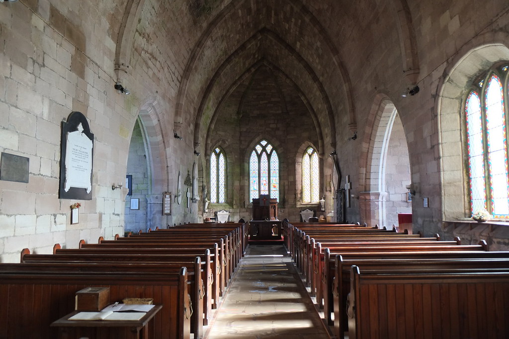
St Michael & All Angels Church. Ford Village
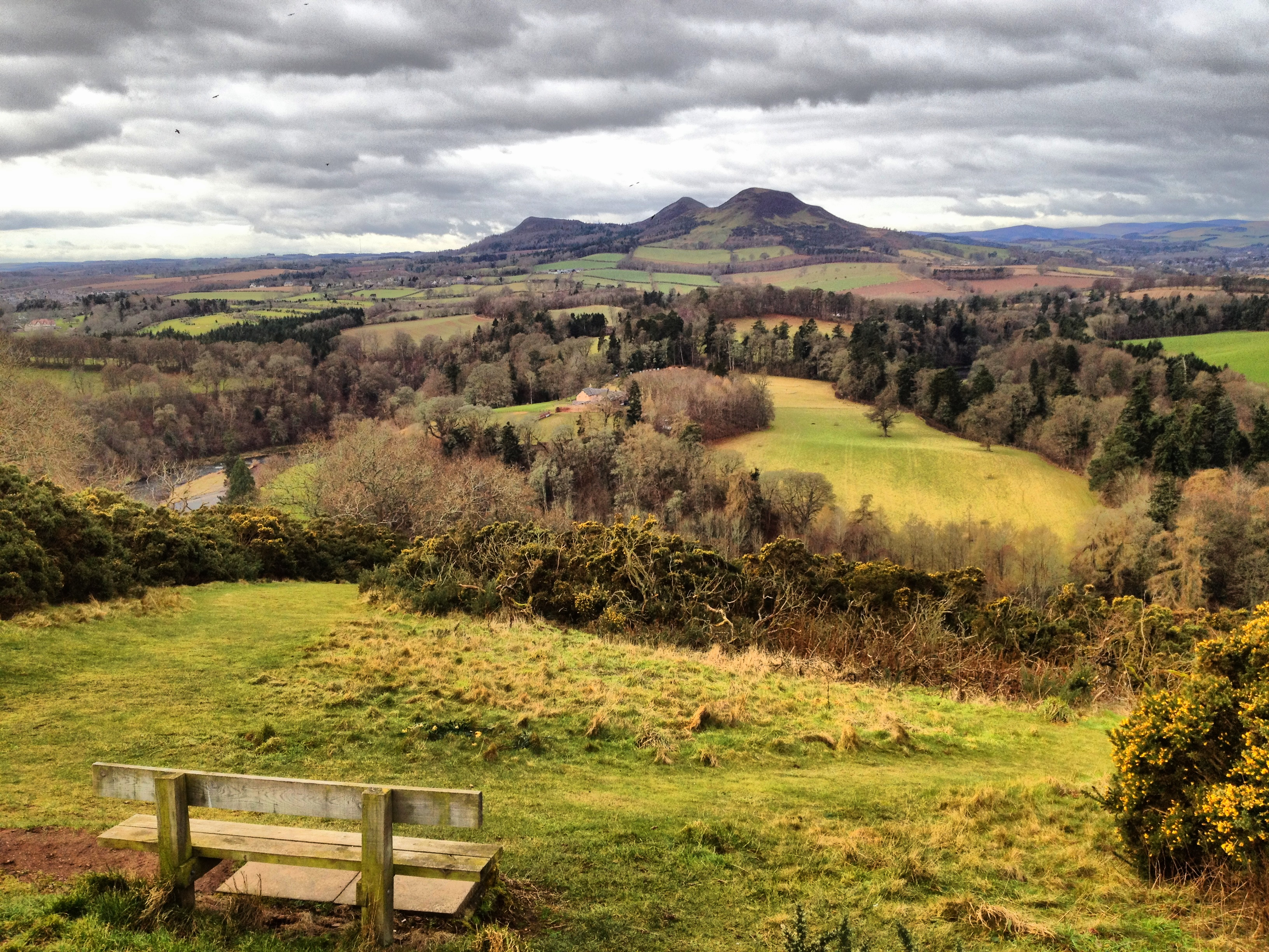
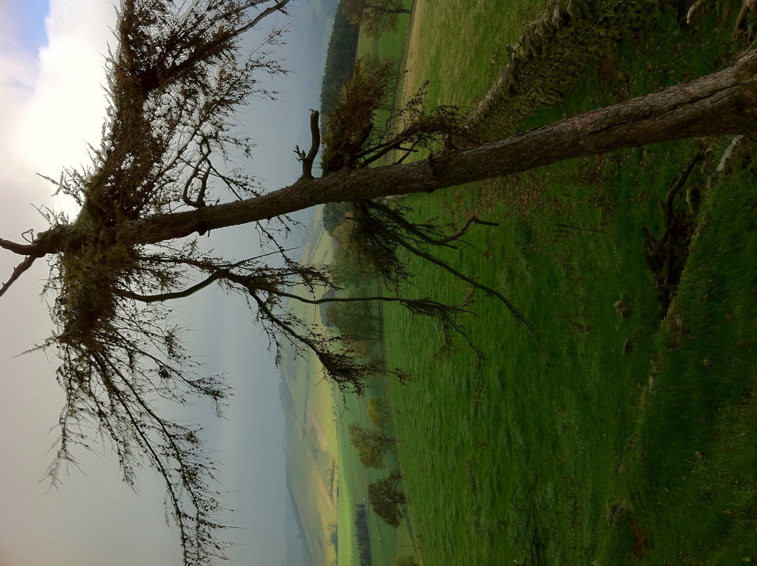
Foulden View
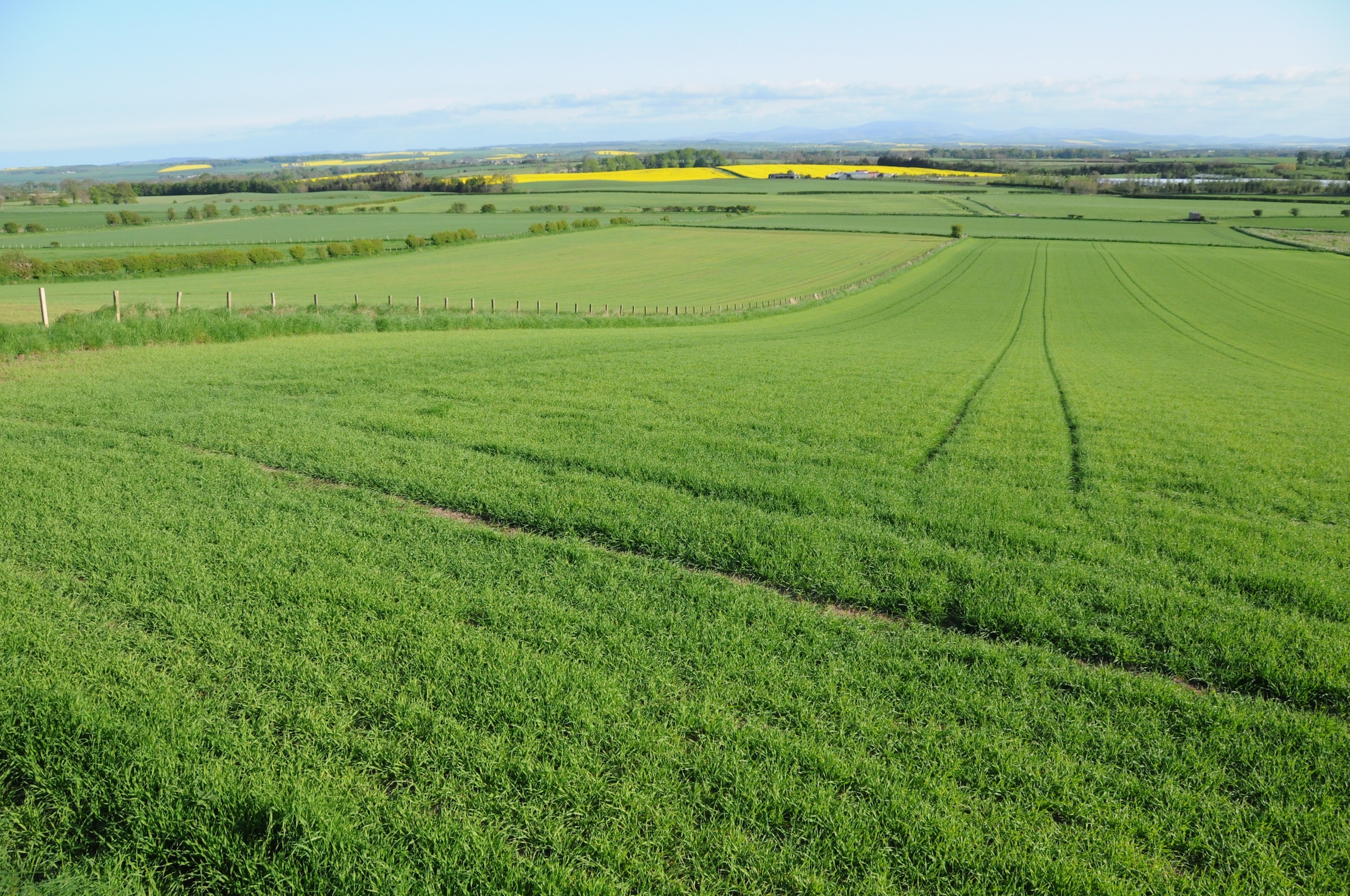
Foulden View

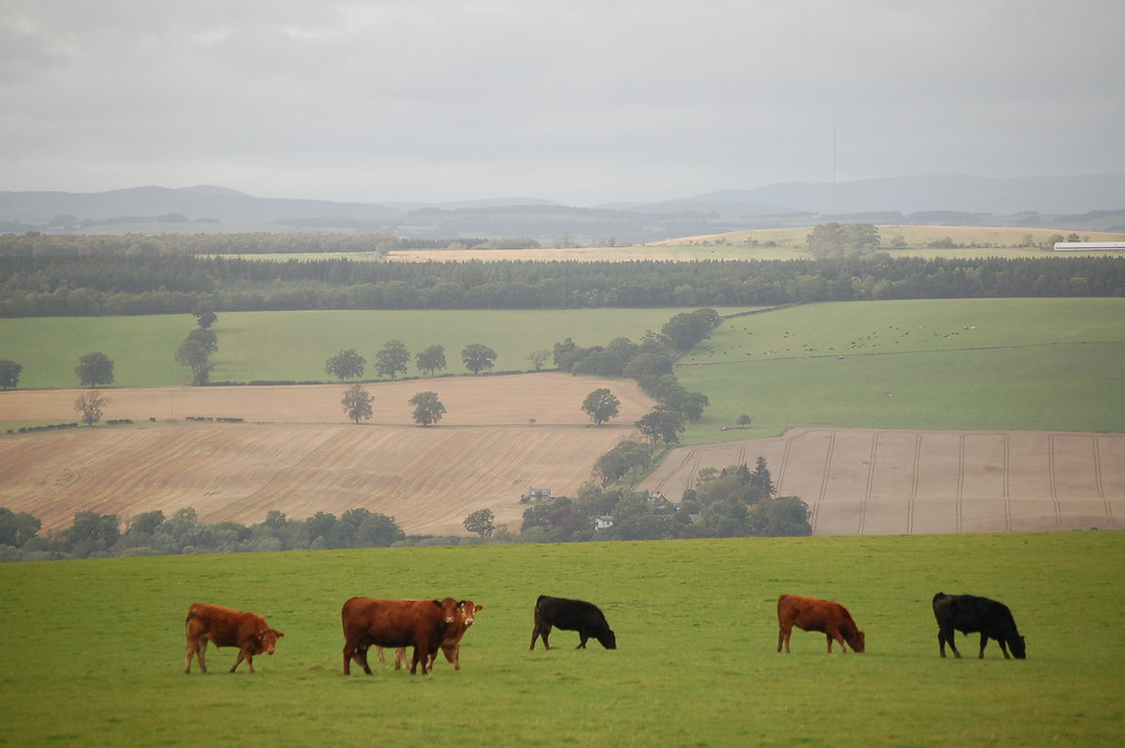
Cheviot View
September 13 Borders (47)
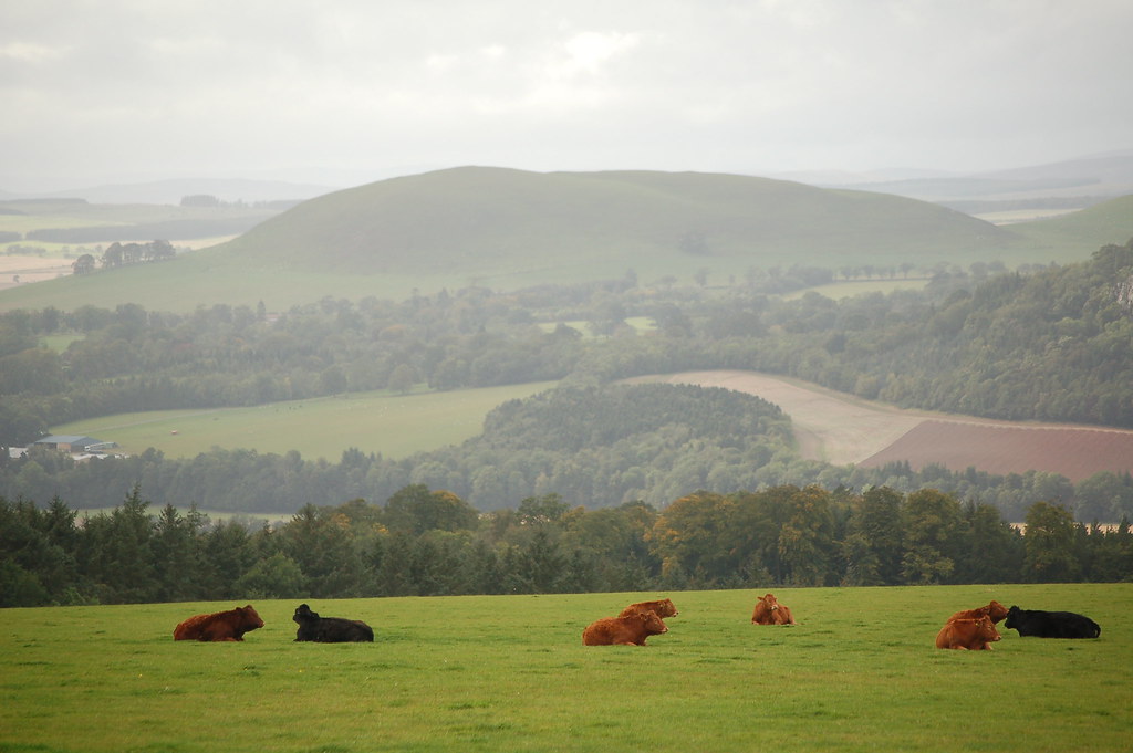
View from above
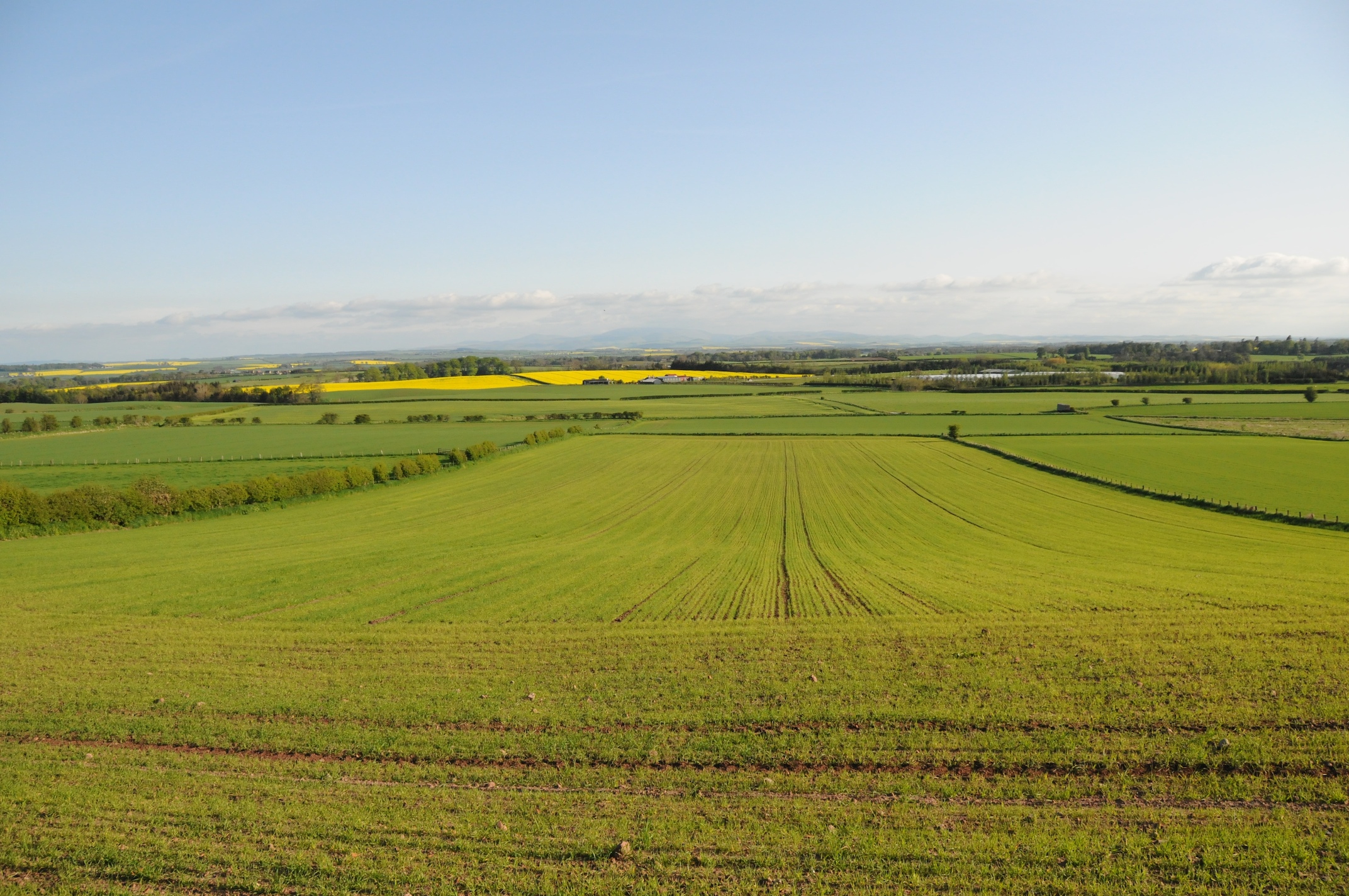
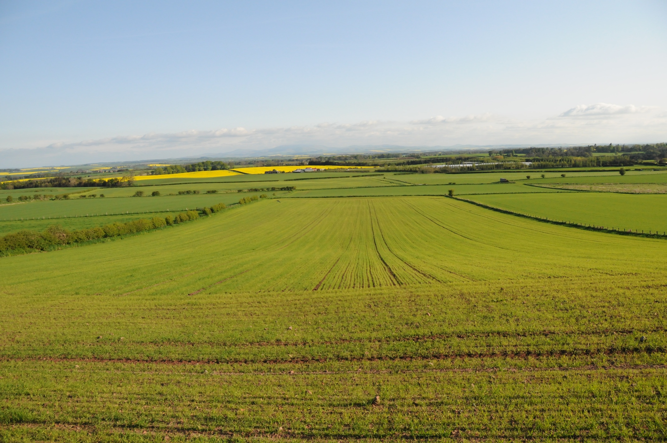
Foulden View
Foulden View
Ladykirk Church (3)
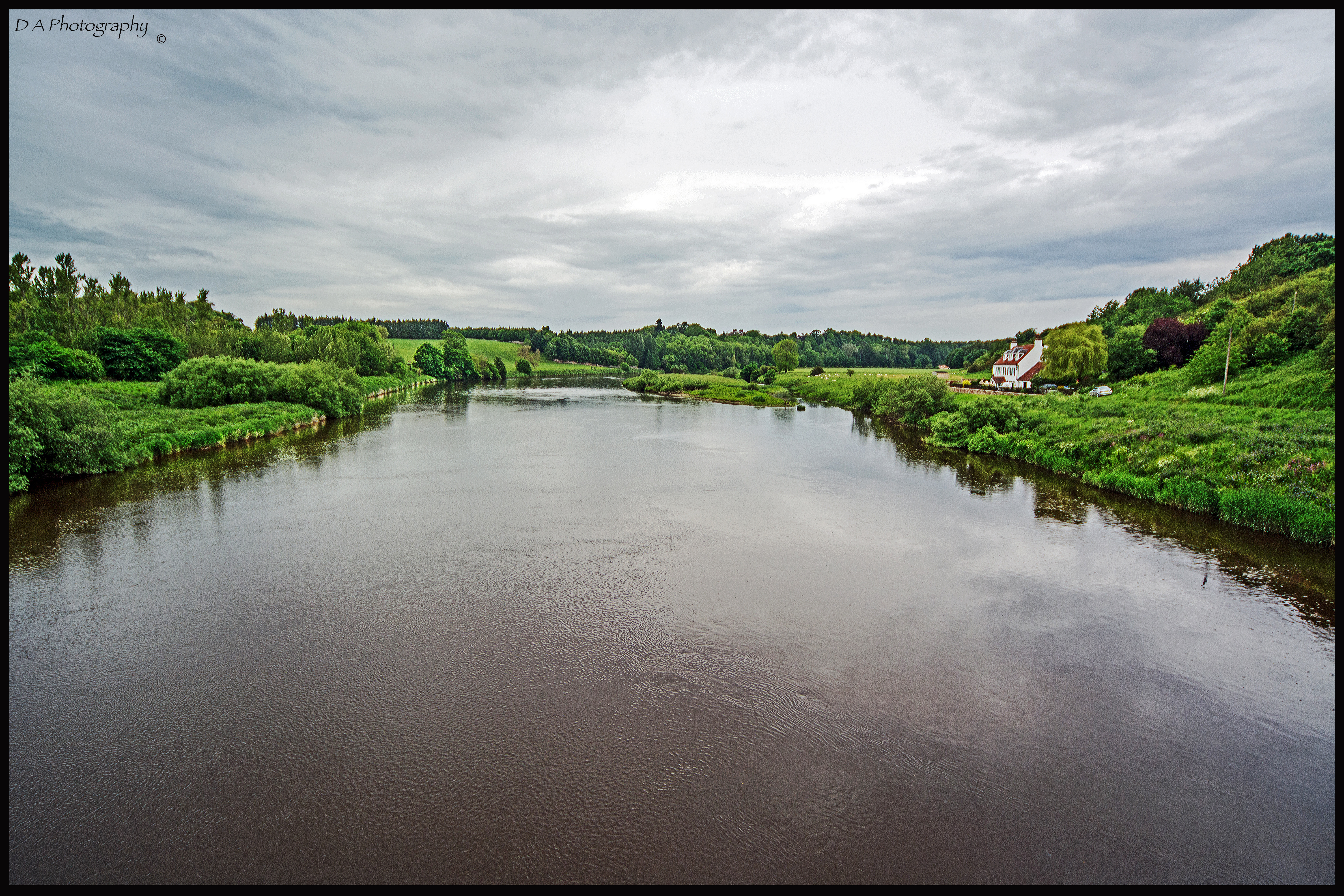
Tweed View

Venchin Hill View

Duddo Standing Stones
Foulden View
September 13 Borders (48)
Office Window View
Office Window View
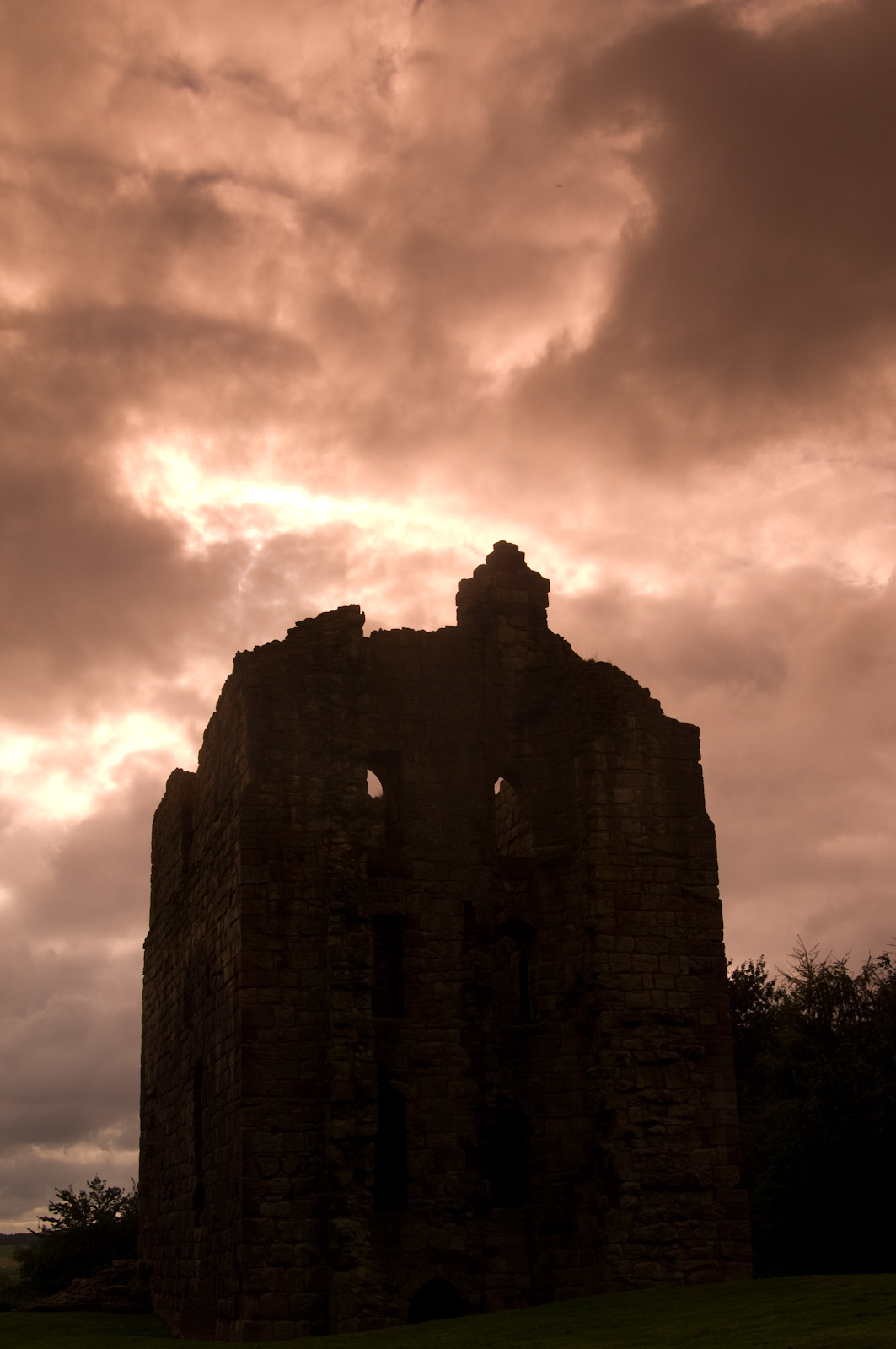
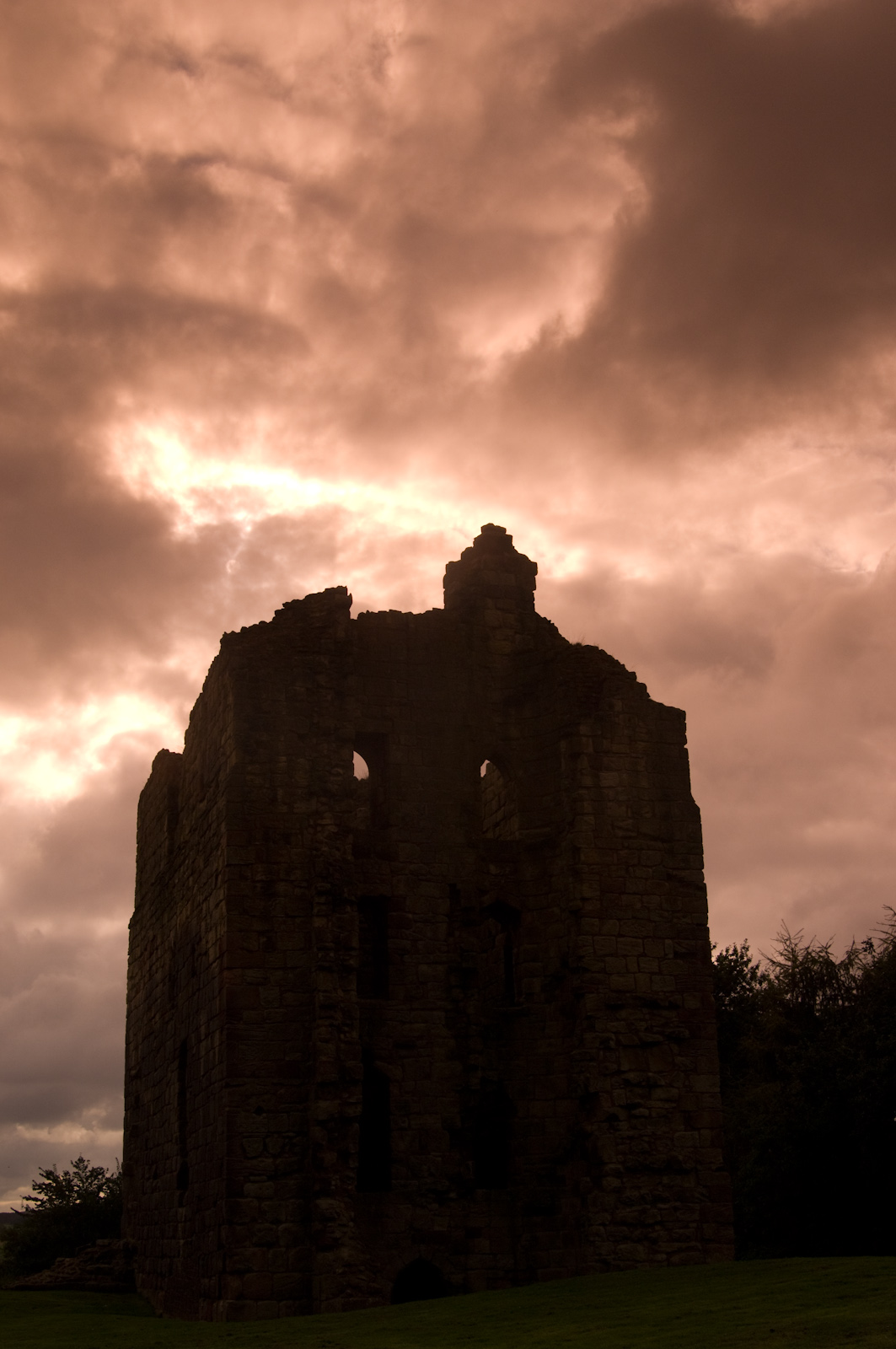
Stone cold
Landscape from Scotland

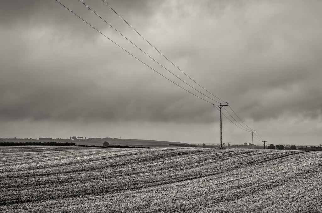
Parallel Lines
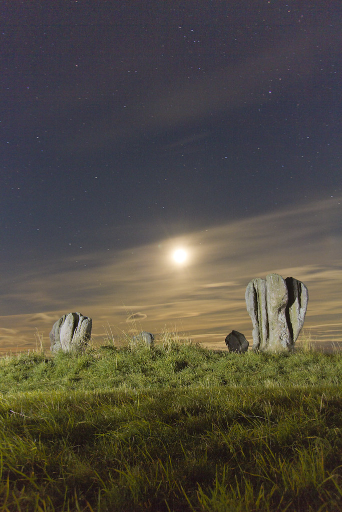
Duddo moon

Tonight's Aurora!

Time Will Always Pass
northumberland-2-160914

. . . two nations marry like runaways
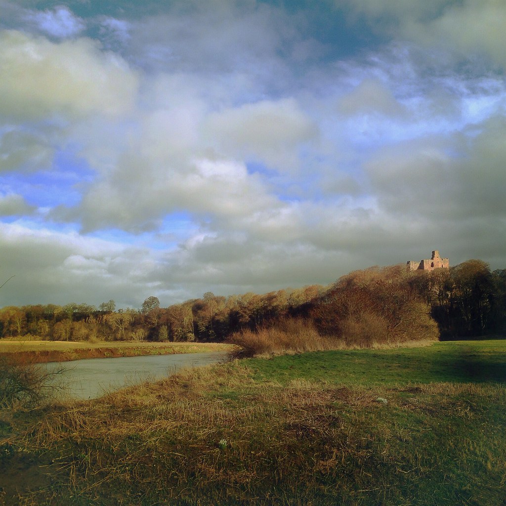
Norham Castle from the banks of The Tweed, Northumberland

Tree Trees
Looking back from climbing up
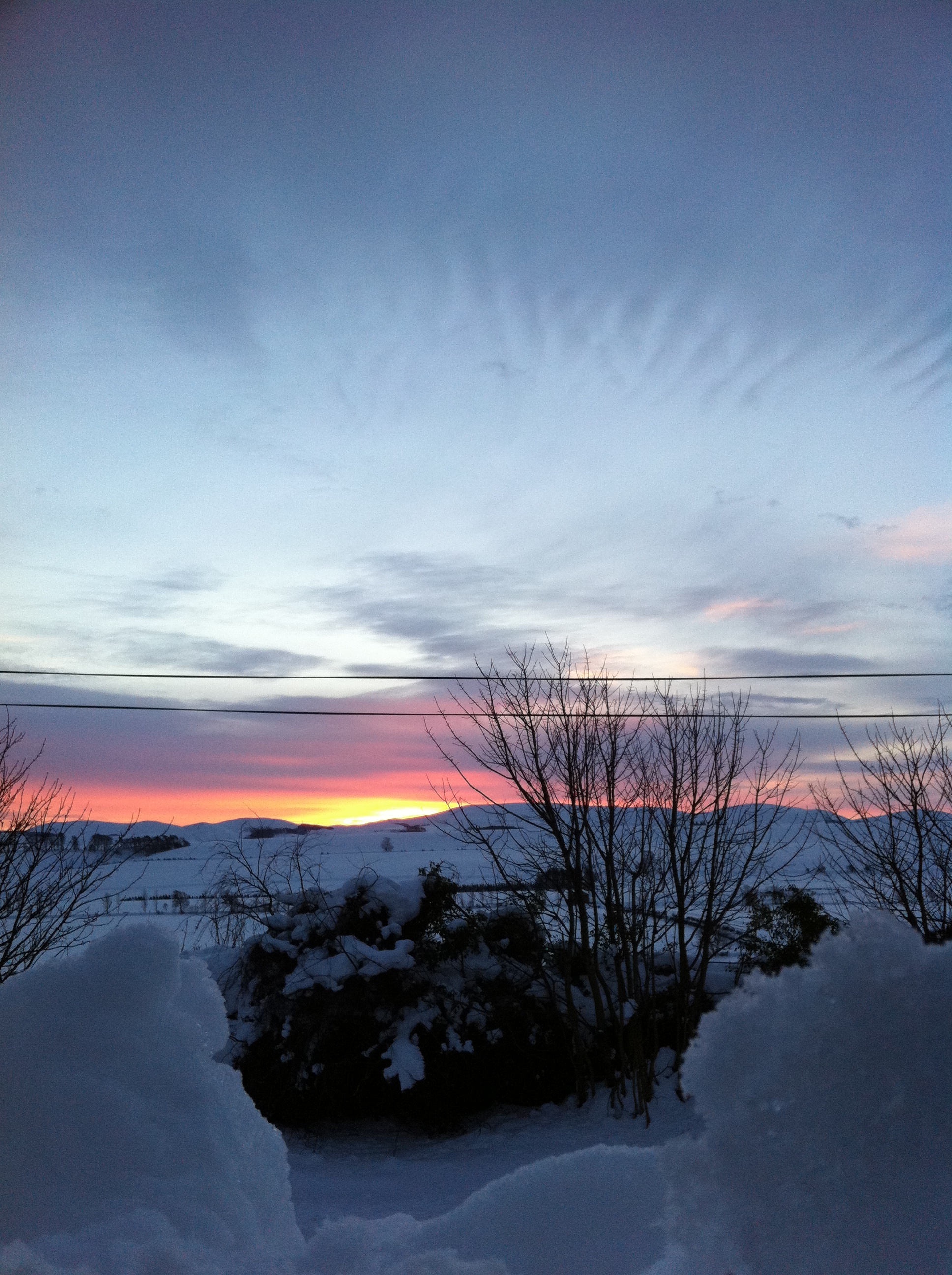
Sunrise with snow
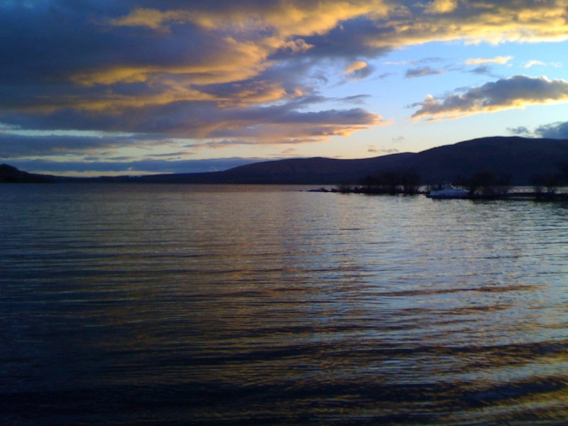
Sunset Clouds
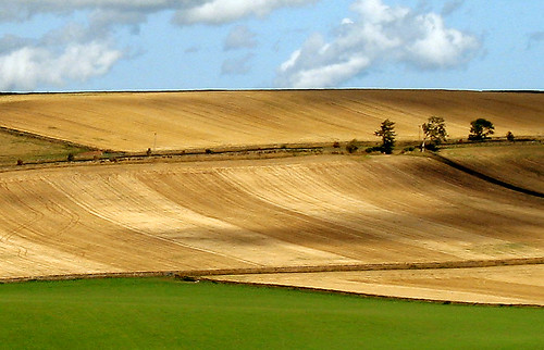
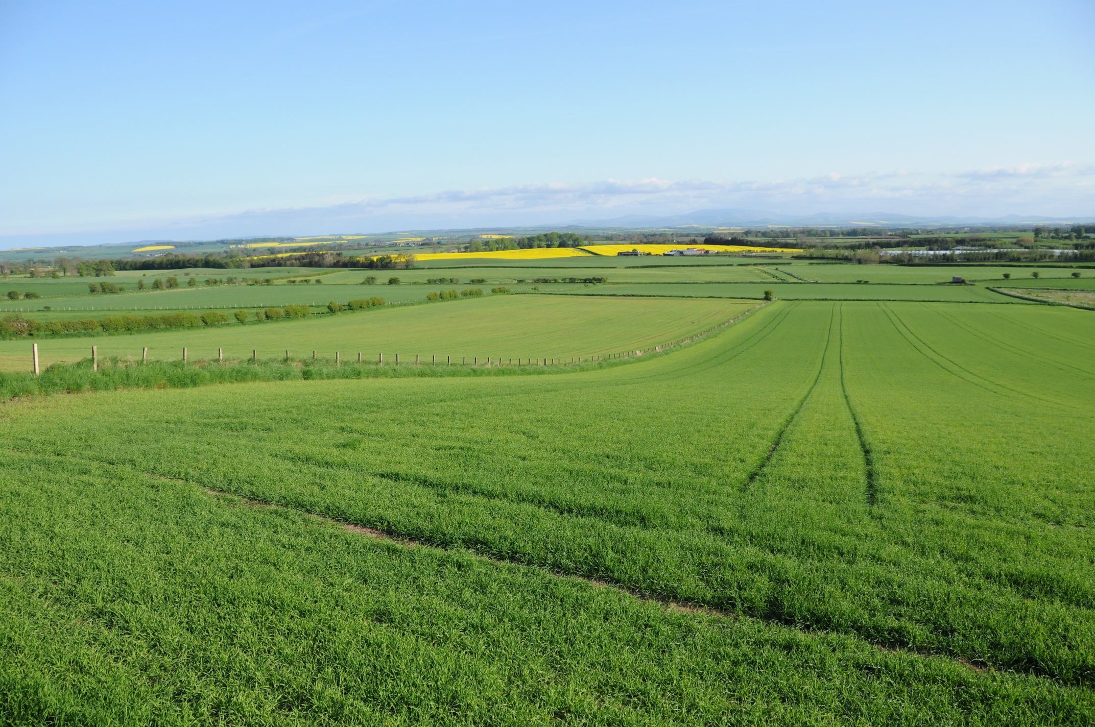
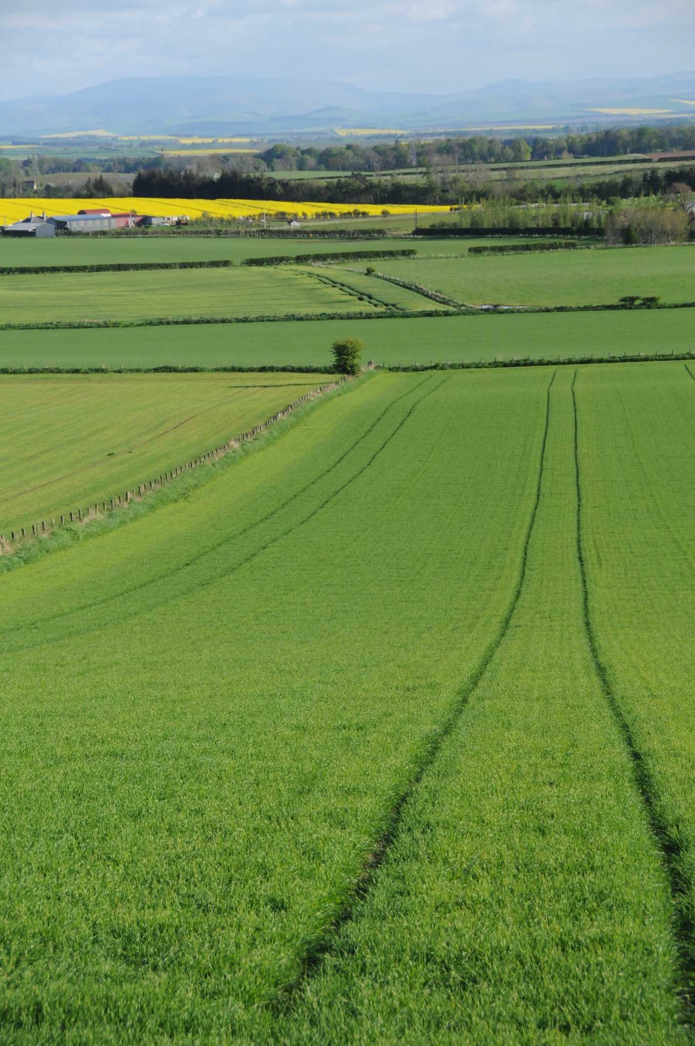
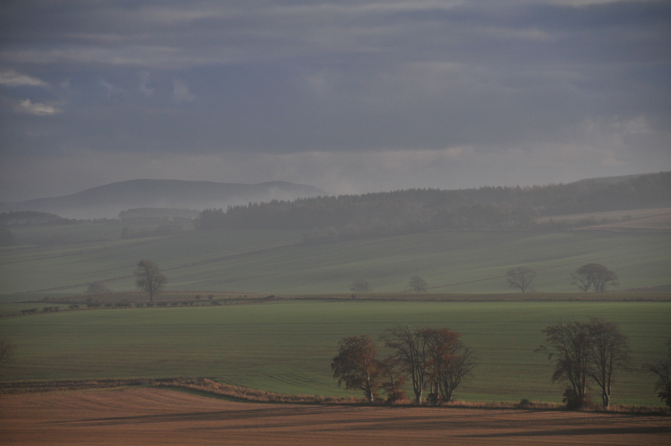
Field Patterns
2008-09-n3-0037
FZ38_2010-06-25 212514
Sunset Clouds
2008-09-n3-0295
2008-09-n3-0038
2008-09-n3-0039
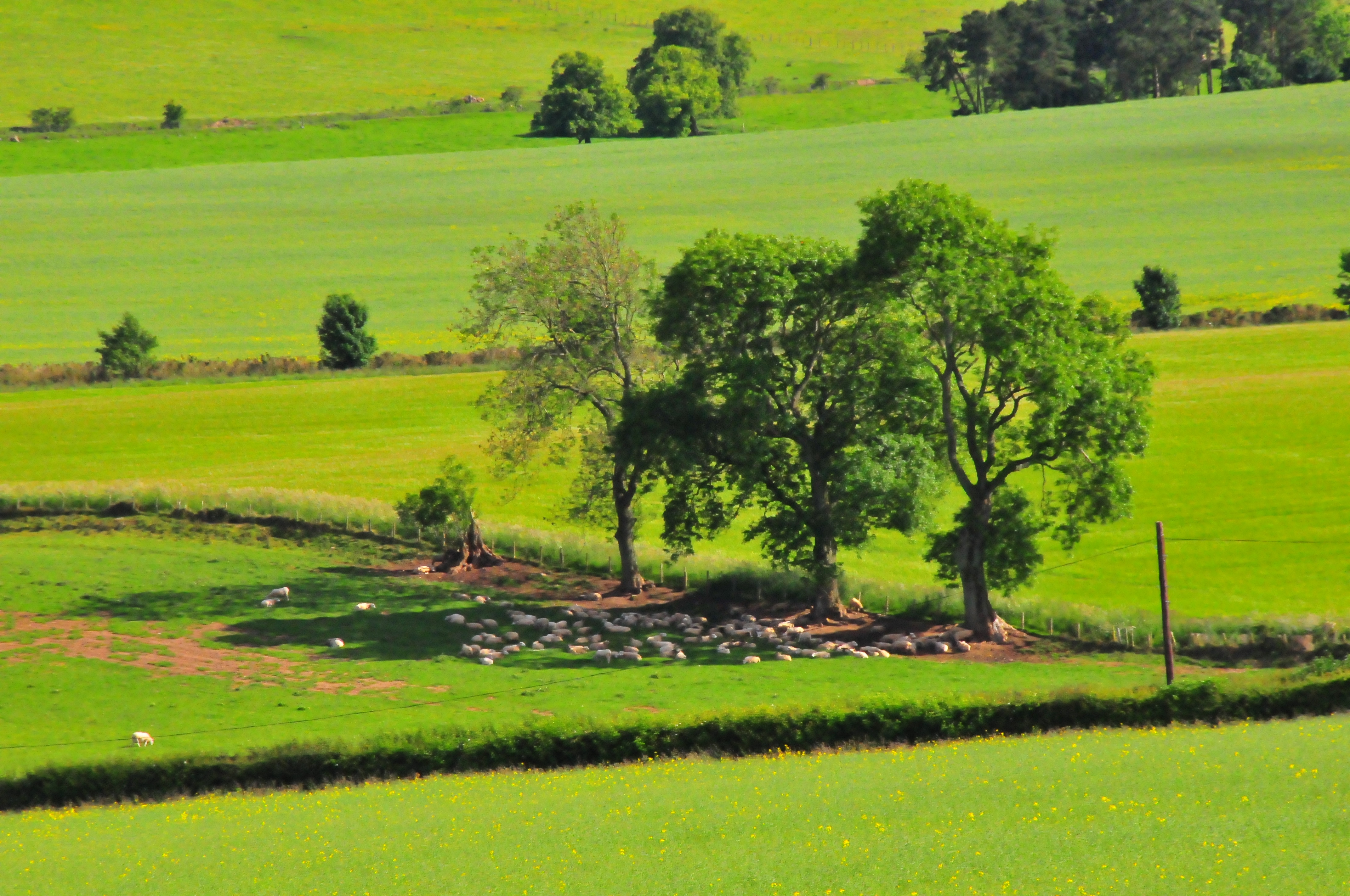
Three Trees and Sheep
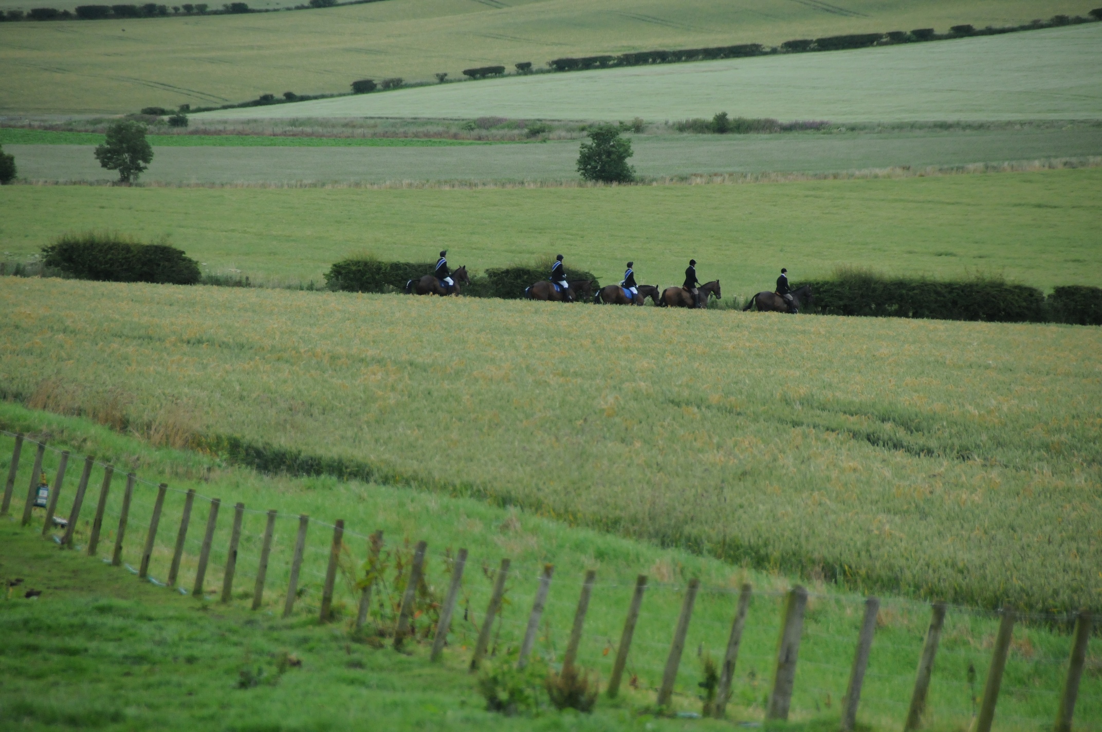
First Horses
Topographic Map of Swinton, Duns TD11, UK
Find elevation by address:

Places in Swinton, Duns TD11, UK:
Places near Swinton, Duns TD11, UK:
Butterlaw Farm Cottage
3 Harcarse Hill, Duns TD11 3HY, UK
Td12 4aa
Crooks Lodge
1 Green Lane, Cornhill-on-Tweed TD12 4UN, UK
3 Lintlaw Farm Cottages, Duns TD11 3QA, UK
Duns
6 Market Square, Duns TD11 3DB, UK
4 E Blanerne Farm Cottages, Duns TD11 3LG, UK
3 A, Coldstream TD12 4NQ, UK
4 Norham West Mains Farm Cottages, Berwick-upon-Tweed TD15 2JY, UK
Woodside Purves Hall
3 A, Berwick-upon-Tweed TD15 2LW, UK
2 Wideopen Farm Cottages, Kelso TD5 8DA, UK
1 Steading Cottages, Cherrytrees, Kelso TD5 8BY, UK
L L Macvie & Company
Greenlaw
Kelso
Saint Abbs
Berwick-upon-tweed
Recent Searches:
- Elevation of Corso Fratelli Cairoli, 35, Macerata MC, Italy
- Elevation of Tallevast Rd, Sarasota, FL, USA
- Elevation of 4th St E, Sonoma, CA, USA
- Elevation of Black Hollow Rd, Pennsdale, PA, USA
- Elevation of Oakland Ave, Williamsport, PA, USA
- Elevation of Pedrógão Grande, Portugal
- Elevation of Klee Dr, Martinsburg, WV, USA
- Elevation of Via Roma, Pieranica CR, Italy
- Elevation of Tavkvetili Mountain, Georgia
- Elevation of Hartfords Bluff Cir, Mt Pleasant, SC, USA