Elevation of Sweedlin Valley Rd, Brandywine, WV, USA
Location: United States > West Virginia > Pendleton County > Eastern > Brandywine >
Longitude: -79.127085
Latitude: 38.7557107
Elevation: 440m / 1444feet
Barometric Pressure: 96KPa
Elevation Map:
Satellite Map:
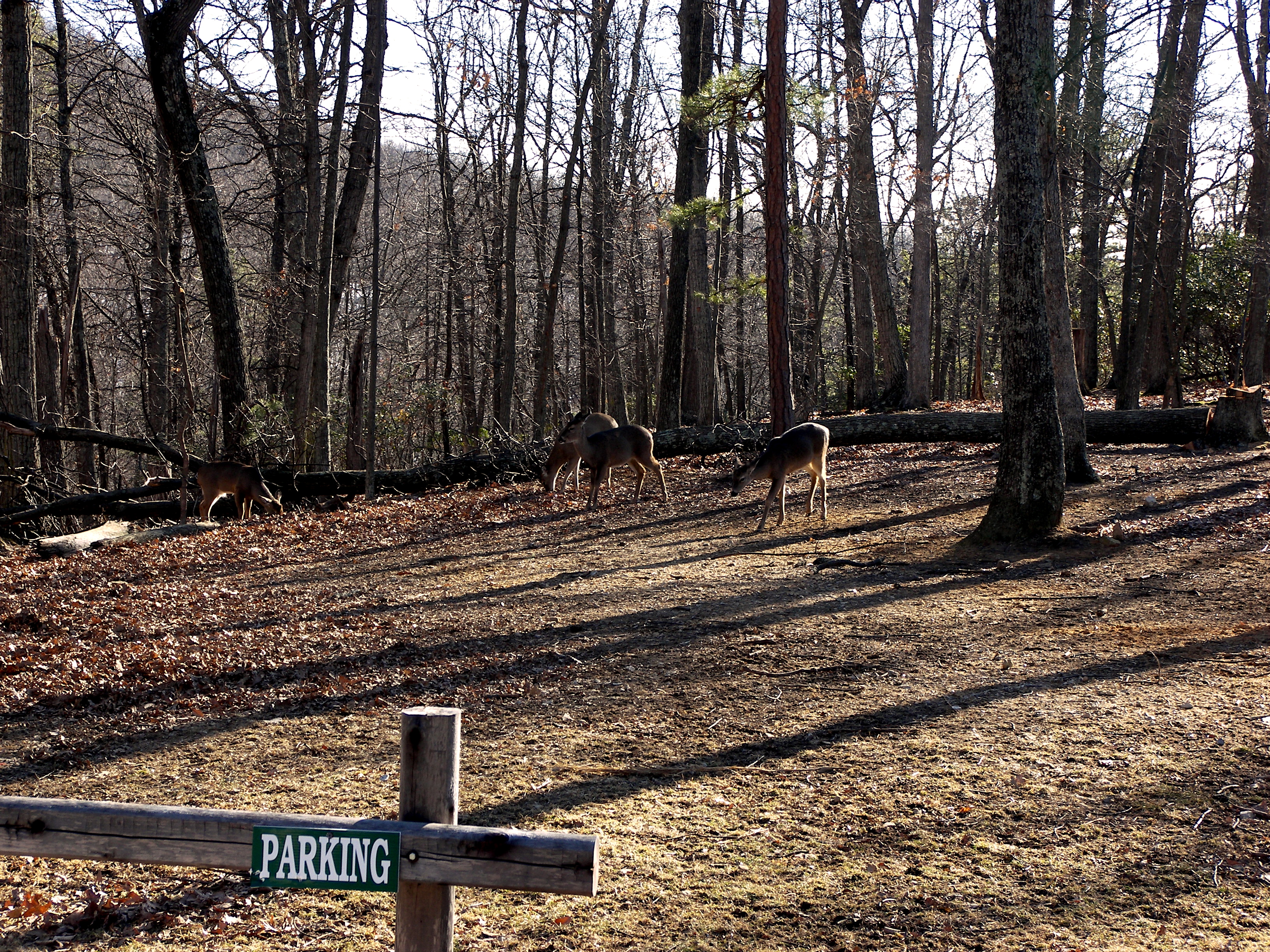
Related Photos:
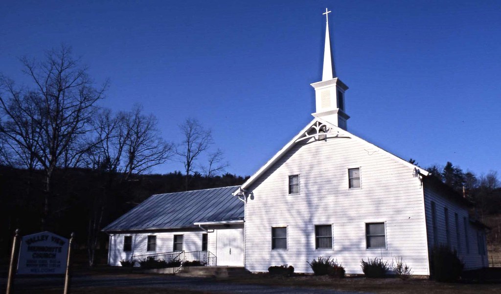
Valley View Mennonite Church, Criders, Virginia, 1993

Valley View Mennonite Church Criders Virginia 2012
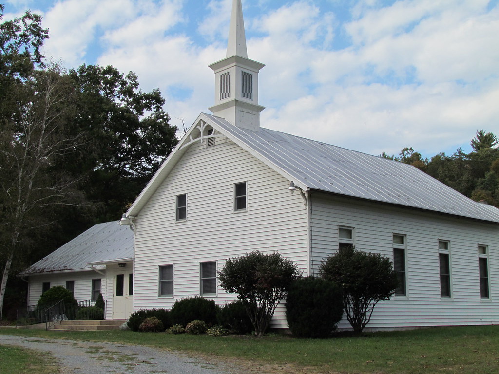
Valley View Mennonite Church Criders Virginia 2012
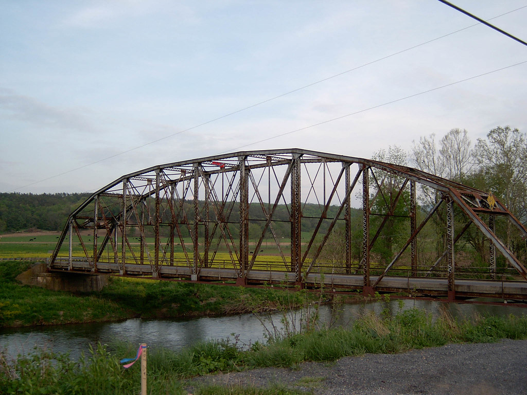
Bridge Side View Image 1 4-30-2004 Photo
Valley View Mennonite Church Criders Virginia 2012

Valley View Mennonite Church Criders Virginia 2012
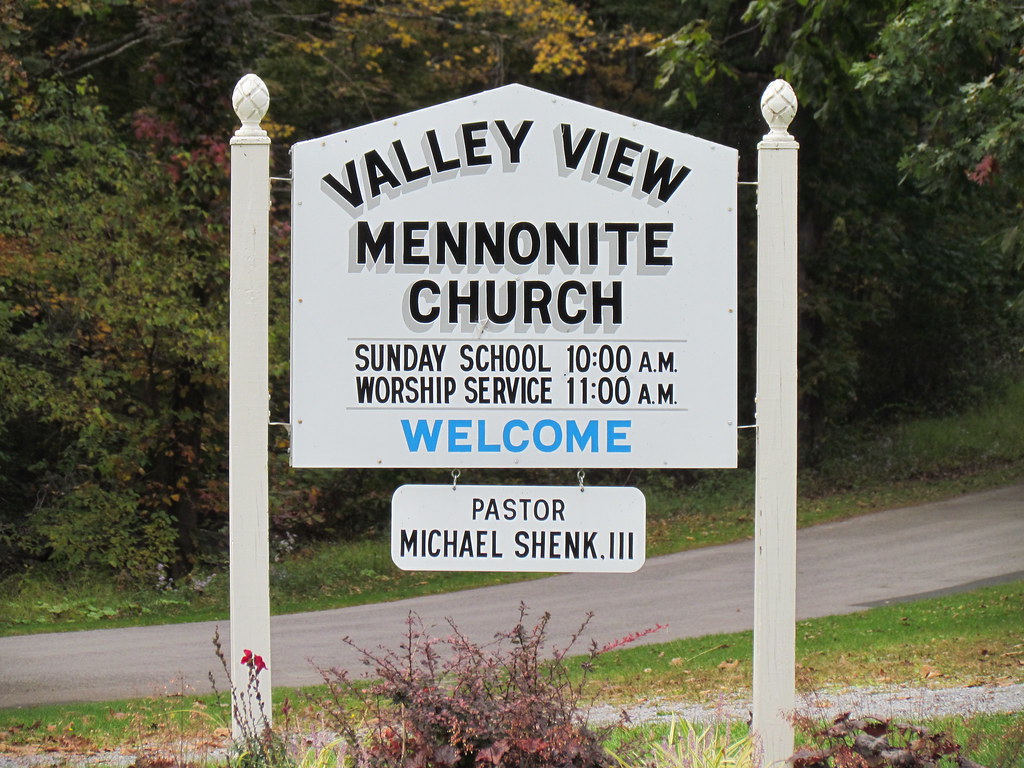
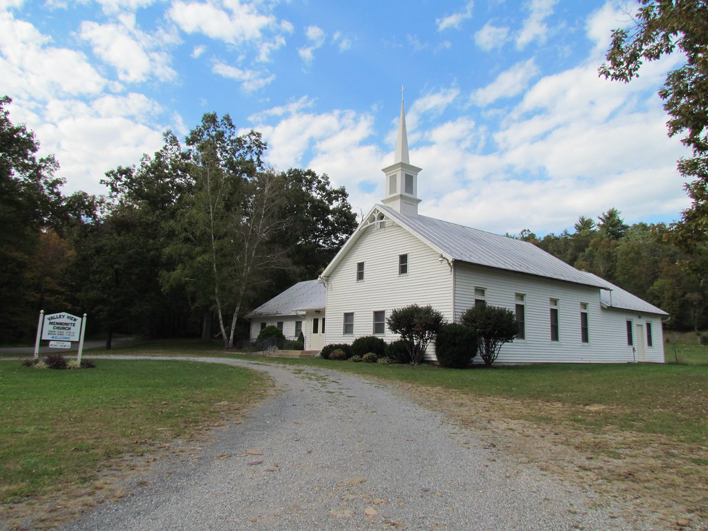
Valley View Mennonite Church Criders Virginia 2012 (1880)
100_3343.jpg
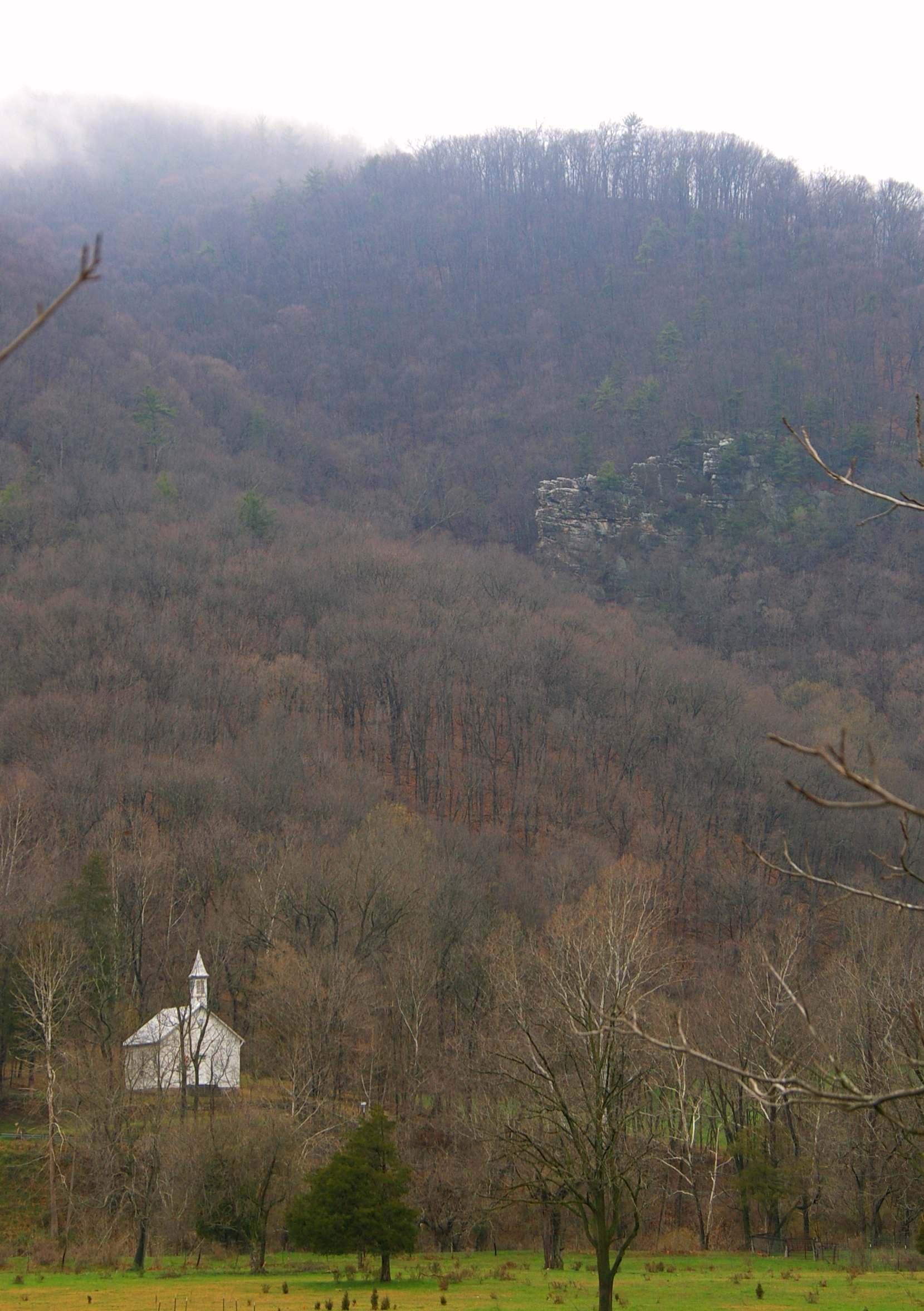
Zion Methodist Church, Milam, WV
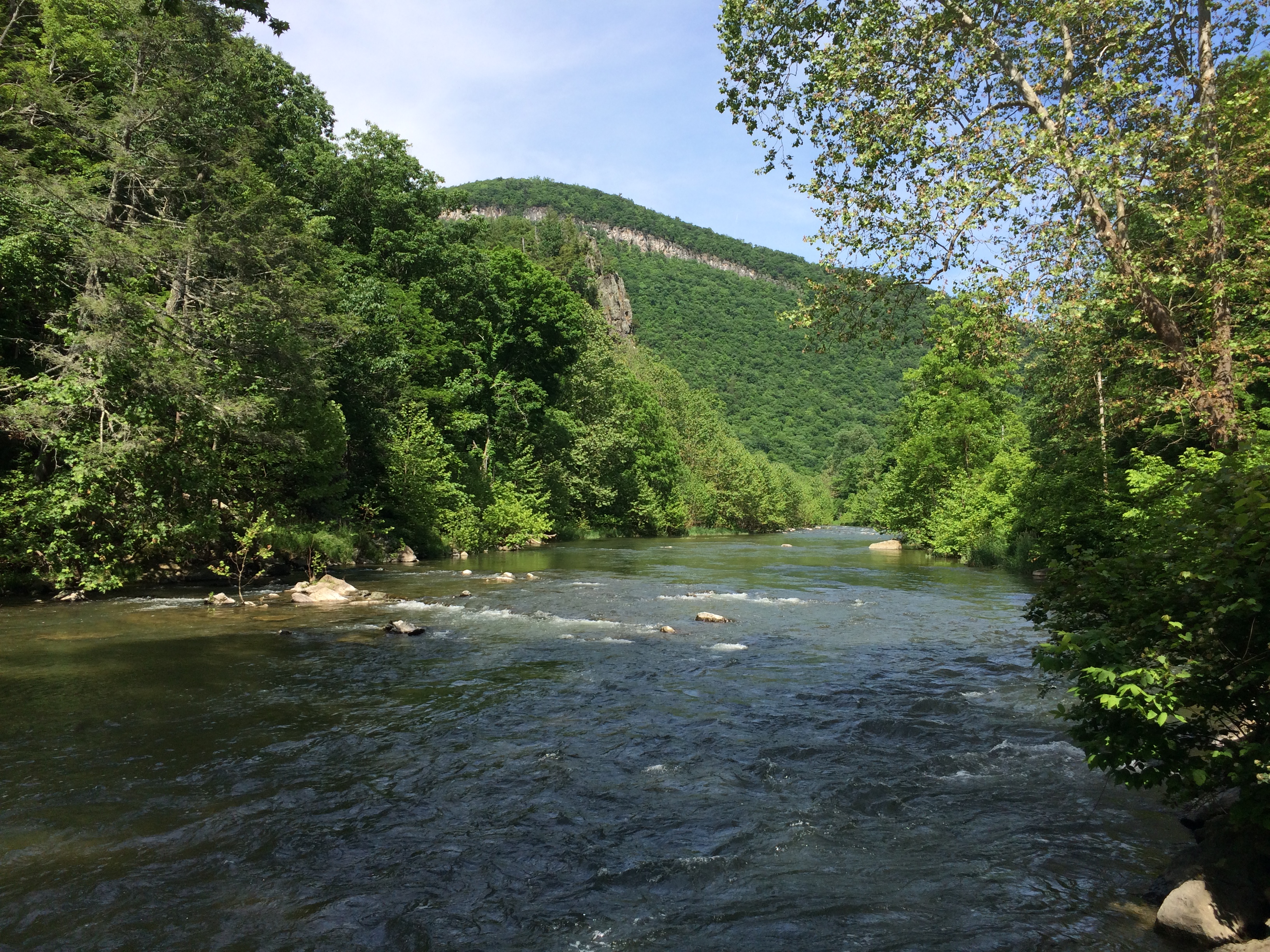
South Fork of the South Branch Potomac River, WV

U.S. 33
Topographic Map of Sweedlin Valley Rd, Brandywine, WV, USA
Find elevation by address:

Places near Sweedlin Valley Rd, Brandywine, WV, USA:
Potomac Valley Overlook
Kesner Mountain Road
536 Hideaway Ln
Deer Run
Ben Hollow
Upper Tract
Petersburg Pike, Upper Tract, WV, USA
Ravenswood Lane
Pendleton County
Callen Lane
Treasure Mountain Road
Reeds Creek Road
Warner's Drive In
Seneca Rocks
Macksville
8540 Mountaineer Dr
2823 Co Rte 6
Lower Timber Ridge Road
Lower Timber Ridge Road
Lower Timber Ridge Road
Recent Searches:
- Elevation of Corso Fratelli Cairoli, 35, Macerata MC, Italy
- Elevation of Tallevast Rd, Sarasota, FL, USA
- Elevation of 4th St E, Sonoma, CA, USA
- Elevation of Black Hollow Rd, Pennsdale, PA, USA
- Elevation of Oakland Ave, Williamsport, PA, USA
- Elevation of Pedrógão Grande, Portugal
- Elevation of Klee Dr, Martinsburg, WV, USA
- Elevation of Via Roma, Pieranica CR, Italy
- Elevation of Tavkvetili Mountain, Georgia
- Elevation of Hartfords Bluff Cir, Mt Pleasant, SC, USA