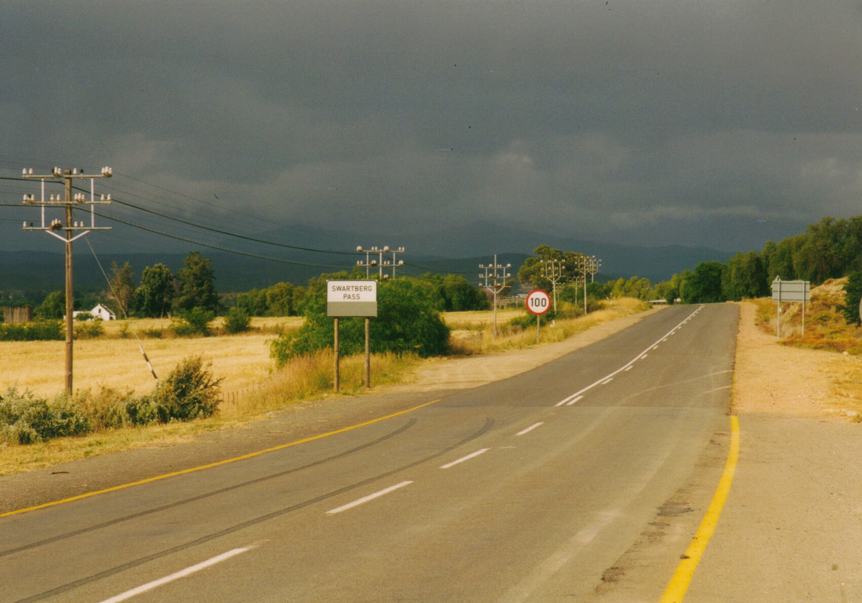
Elevation of Swartberg, South Africa
Location: South Africa > Kwazulu-natal > East Griqualand >
Longitude: 29.34823
Latitude: -30.24469
Elevation: 1589m / 5213feet
Barometric Pressure: 84KPa
Elevation Map:
Satellite Map:
Related Photos:

Early light

Early mrng

I miss @southafrica!
Rain Southafrica

Swartberg Garage
Topographic Map of Swartberg, South Africa
Find elevation by address:

Places near Swartberg, South Africa:
Swartberg Country Club
Cedarville
Bushmans Nek Berg And Trout Resort
Underberg
Drakensberg Gardens Golf & Leisure Resort
Drakensberg Gardens Golf & Spa Resort
Himeville
Himeville
Mackenzie Street
Alfred Nzo
Premier Resort Sani Pass
Mkhomazi Wilderness Area
Qacha's Nek
Qachas Nek
Mount Frere
Lesotho
Recent Searches:
- Elevation of Corso Fratelli Cairoli, 35, Macerata MC, Italy
- Elevation of Tallevast Rd, Sarasota, FL, USA
- Elevation of 4th St E, Sonoma, CA, USA
- Elevation of Black Hollow Rd, Pennsdale, PA, USA
- Elevation of Oakland Ave, Williamsport, PA, USA
- Elevation of Pedrógão Grande, Portugal
- Elevation of Klee Dr, Martinsburg, WV, USA
- Elevation of Via Roma, Pieranica CR, Italy
- Elevation of Tavkvetili Mountain, Georgia
- Elevation of Hartfords Bluff Cir, Mt Pleasant, SC, USA