Elevation of Swansea Heads NSW, Australia
Location: Australia > New South Wales > Lake Macquarie City Council >
Longitude: 151.662
Latitude: -33.093
Elevation: 2m / 7feet
Barometric Pressure: 101KPa
Elevation Map:
Satellite Map:
Related Photos:

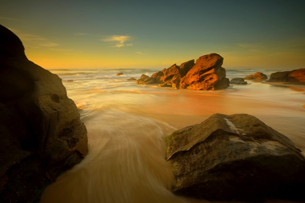
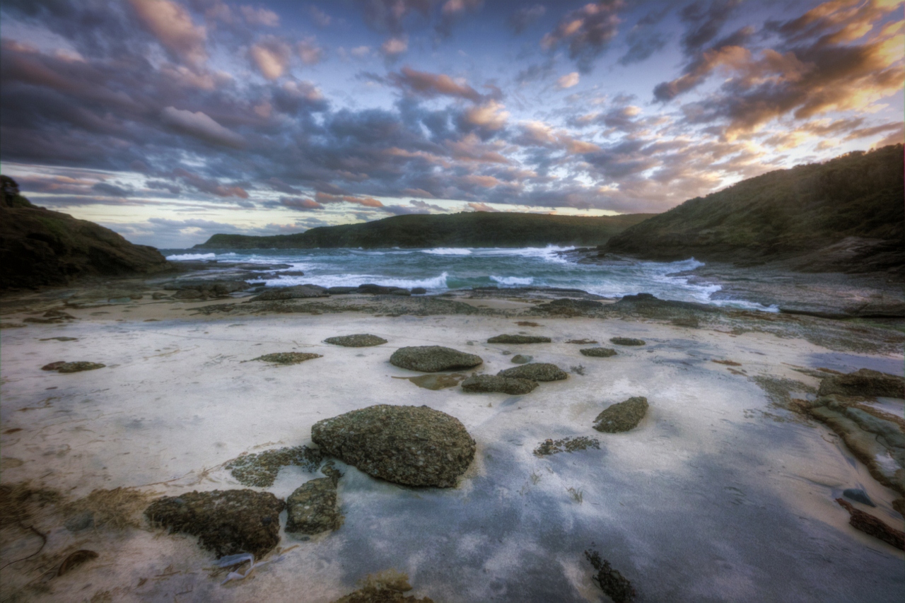
Wild and rugged
Between the Rocks

VIEW FROM SNAPPER POINT

Into the Light

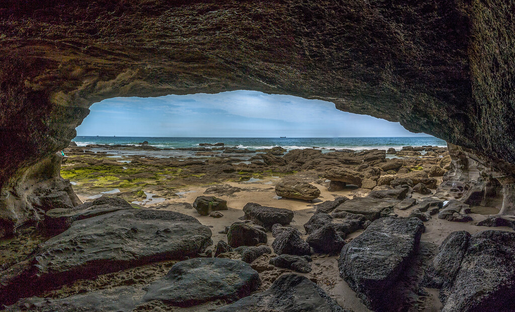
()CAVE VIEW - CAVES BEACH.

In the Shallows
Into the Distance

Lowdown at Chalky Beach

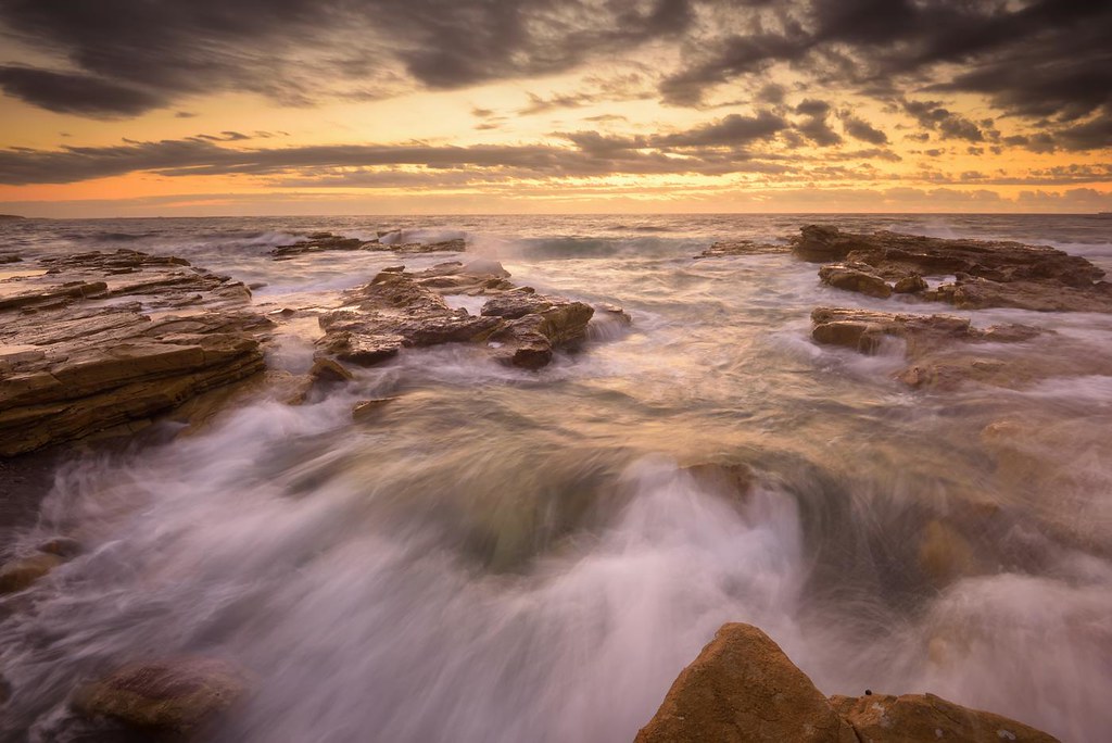
Incoming Flow
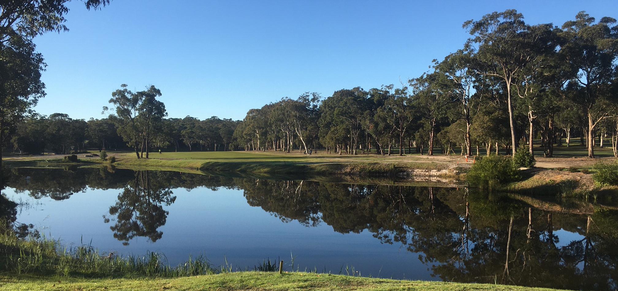
VIEW FROM THE SECOND TEE

Sail away with me

What Lies Beneath

Incoming Flow

Reverse Flow

Sidelight at Chalky

"Catho" 2

Dora Creek
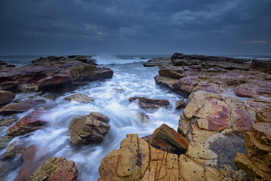
Rocky Inlet

Chalky Beach Rocks

Dawn reflections

Over the Rocks

snapper point #2
snapper point #7

Catherine Hill Bay

Eyelet Rock

A million rocks, one moment

snapper point sea cave
_DSC9985-Pano.jpg

The Green Tunnel

Mini Waterfall

Danger Awaits

Through the Gap
Topographic Map of Swansea Heads NSW, Australia
Find elevation by address:

Places in Swansea Heads NSW, Australia:
Places near Swansea Heads NSW, Australia:
Lambton Parade
Swansea
829 Pacific Hwy
Belmont South
729 Pacific Hwy
Belmont
Harlow St
501 Pacific Hwy
53 Livingstone St
230 Skye Point Rd
149 Skye Point Rd
147 Skye Point Rd
12 Nulkara St
29 Golding Ave
Fishing Point
Coal Point
110 Coal Point Rd
Belmont North
61 Sealand Rd
7/21 Excelsior Parade
Recent Searches:
- Elevation of Corso Fratelli Cairoli, 35, Macerata MC, Italy
- Elevation of Tallevast Rd, Sarasota, FL, USA
- Elevation of 4th St E, Sonoma, CA, USA
- Elevation of Black Hollow Rd, Pennsdale, PA, USA
- Elevation of Oakland Ave, Williamsport, PA, USA
- Elevation of Pedrógão Grande, Portugal
- Elevation of Klee Dr, Martinsburg, WV, USA
- Elevation of Via Roma, Pieranica CR, Italy
- Elevation of Tavkvetili Mountain, Georgia
- Elevation of Hartfords Bluff Cir, Mt Pleasant, SC, USA