Elevation of Swainby, Northallerton DL6, UK
Location: United Kingdom > England > North Yorkshire >
Longitude: -1.264718
Latitude: 54.411285
Elevation: 83m / 272feet
Barometric Pressure: 100KPa
Elevation Map:
Satellite Map:
Related Photos:

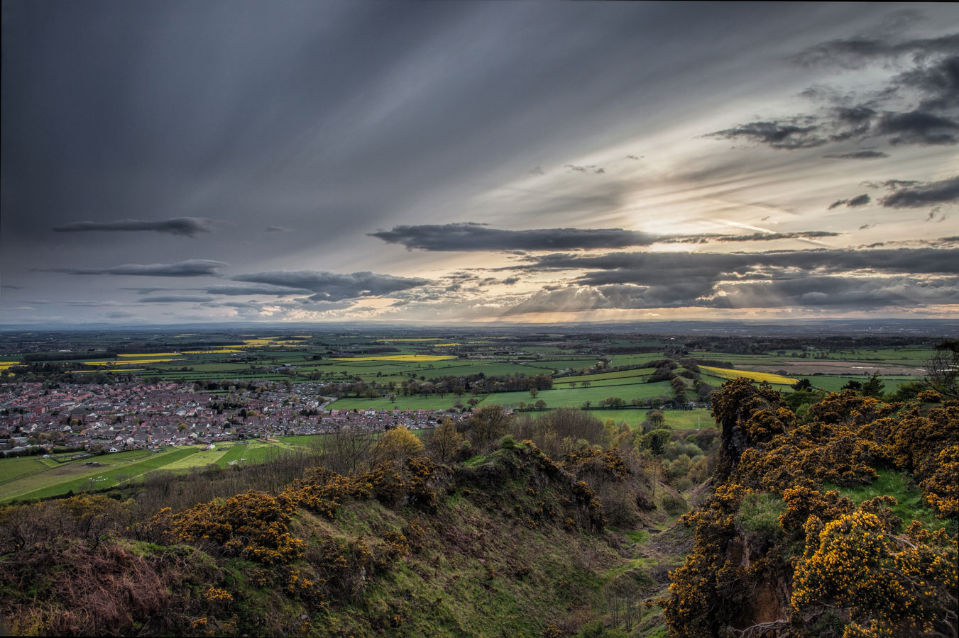
Roseberry Topping Cleveland Way
The Cleveland way...28.5 miles...Cold moor.
View from the Moors.

Taking the sun.
The Cleveland way...28 miles... Carlton moor.

The Cleveland way...18 miles...Black hambleton.

The Cleveland way...25.5 miles...Live moor.
Across the frosty fields

Cleveland Hills. #33/365

The Cleveland way...31 miles..Clay bank top.

A19 View
Aireyholme Pines.
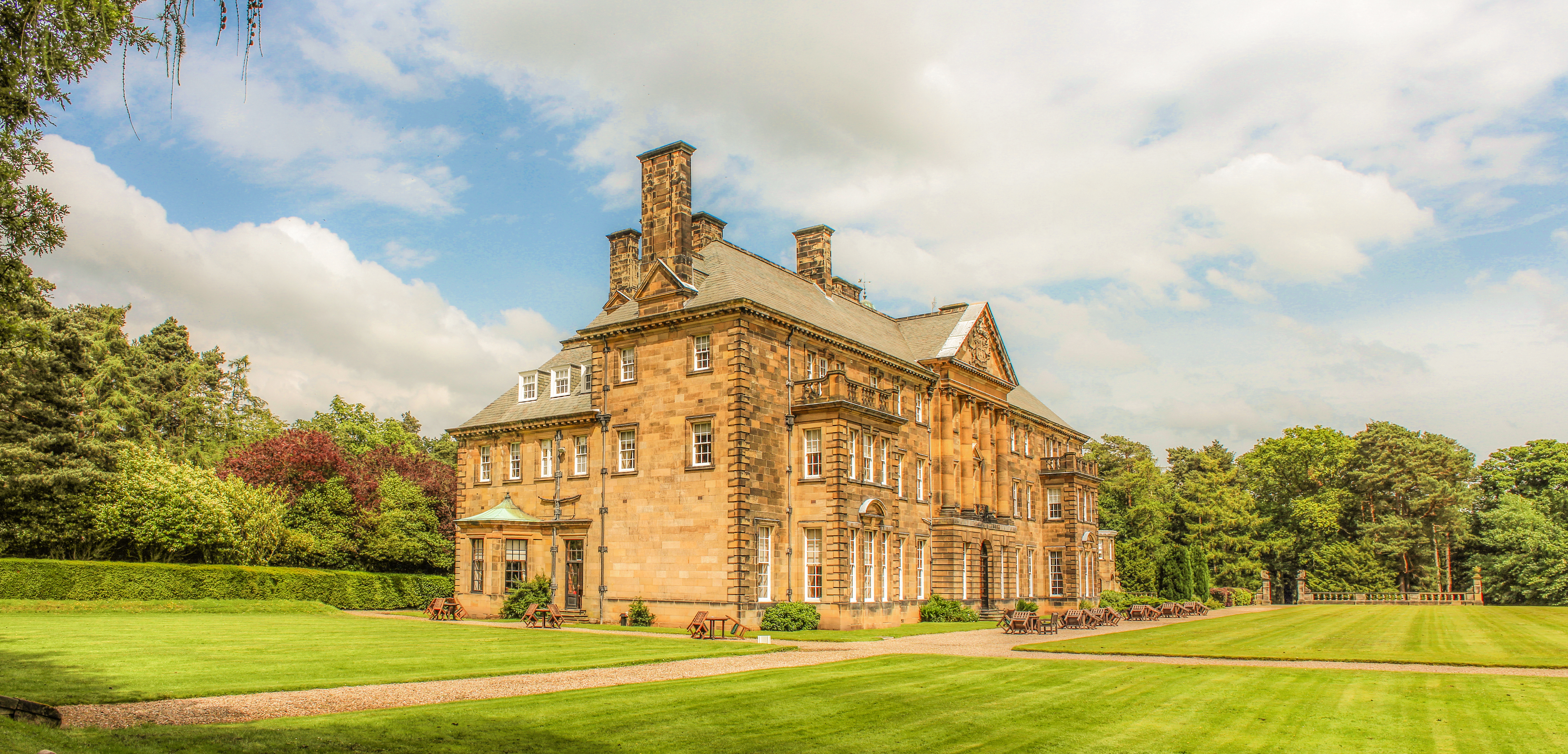
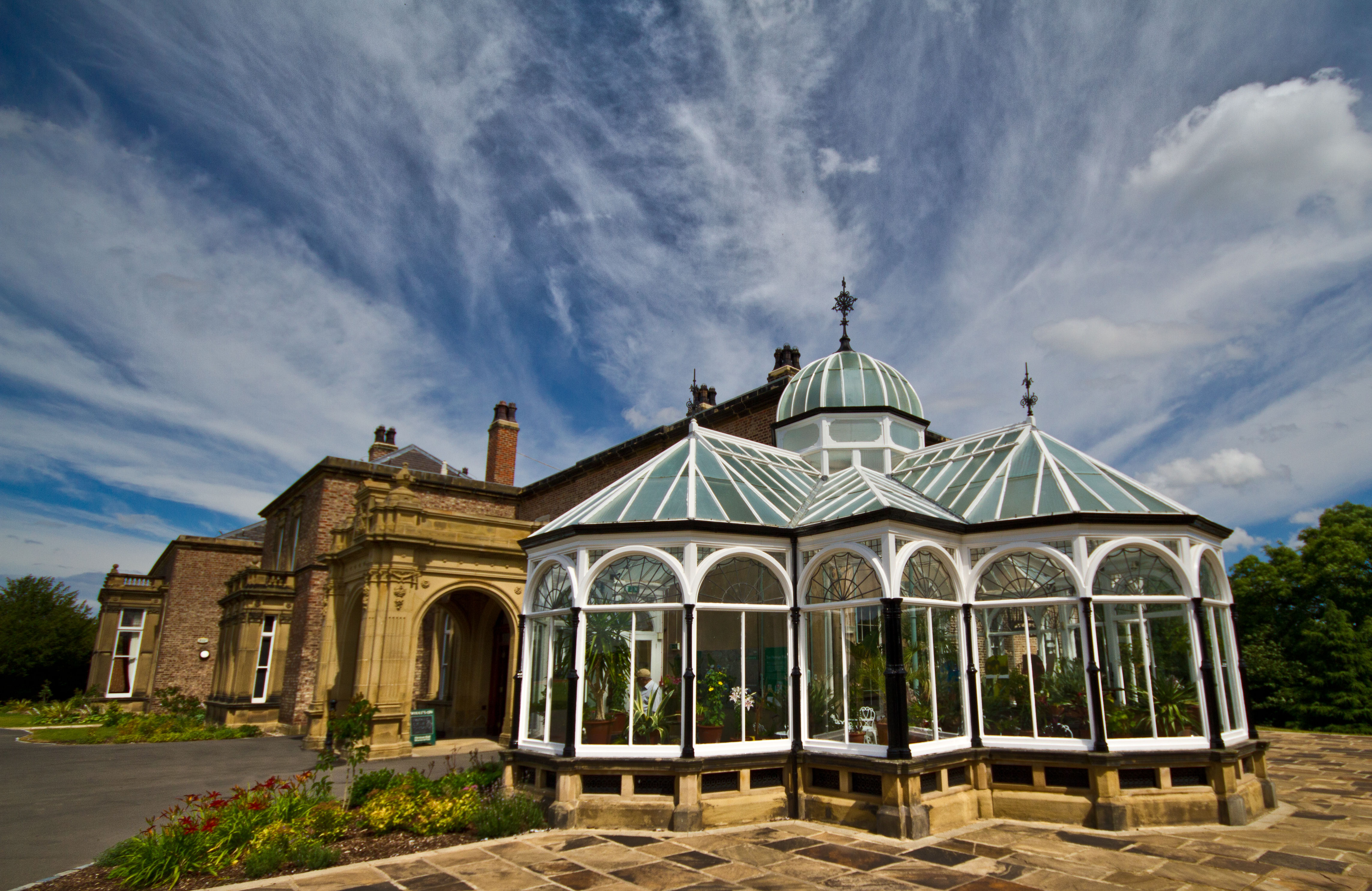
Crathorne Hall North Yorkshire
The Cleveland way...22.5 miles... Beacon hill.
James Cook monument (alternative view)
Great Ayton.
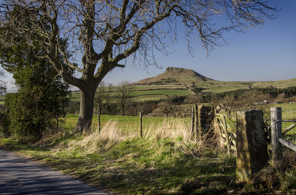
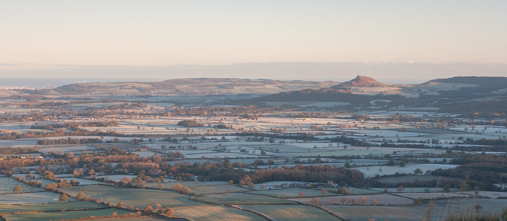
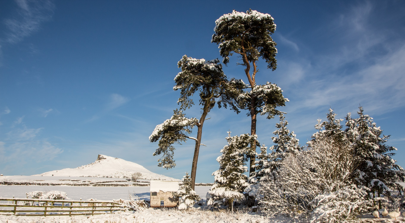
Roseberry Topping, North Yorkshire
20131120-0005
Preston Park. Eaglescliffe.

Whorlton Old Church, Swainby, North Yorkshire

Misty Morning

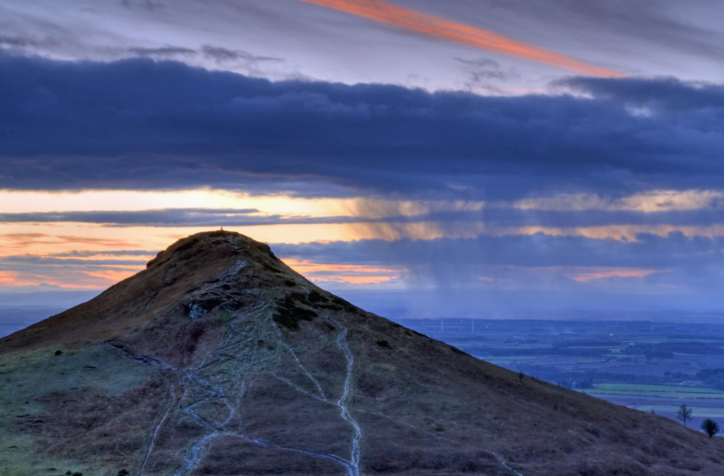
Last light at Roseberry Topping.
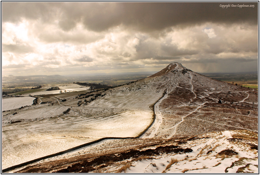
Snow Clouds with Roseberry Topping!
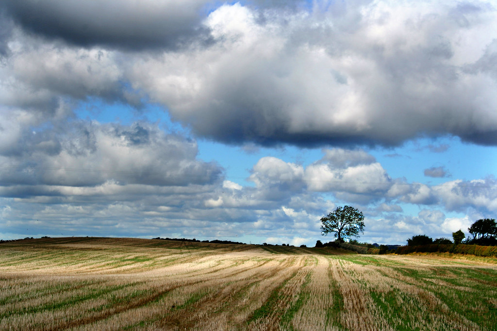
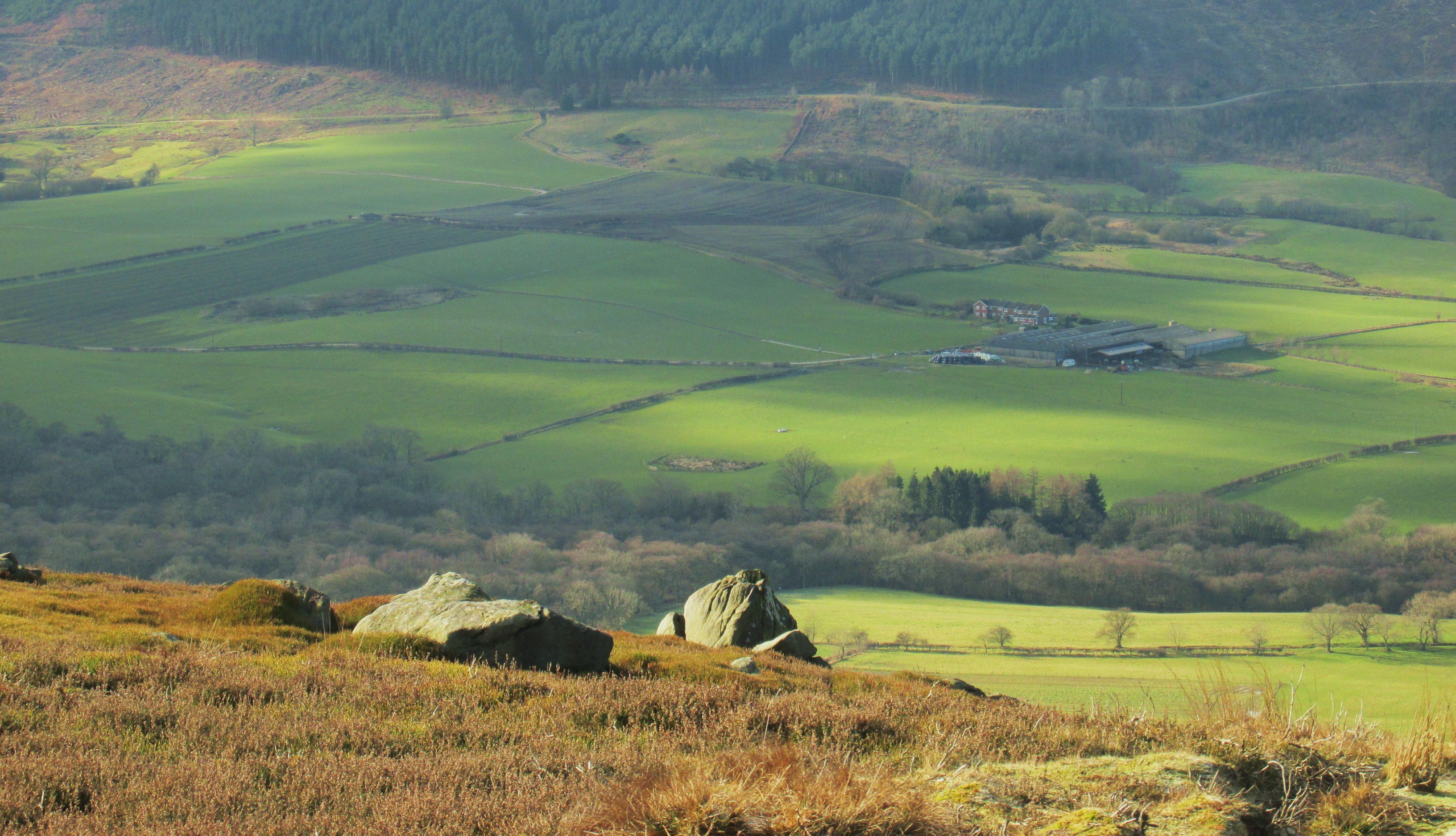
Fields of autumn.

From The Pond

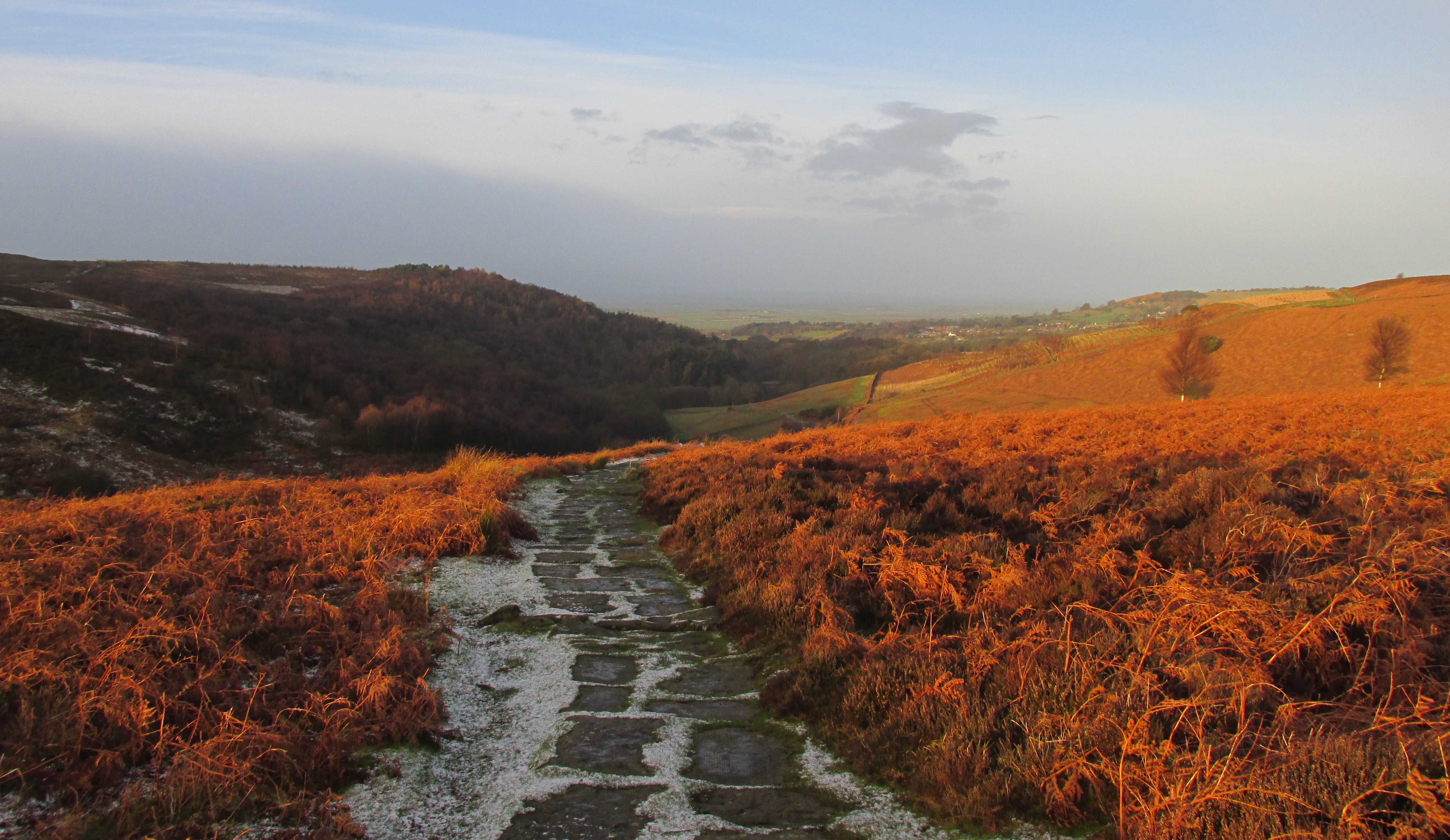
The Cleveland way...11.5 miles...High barn.
Adventures in HDR

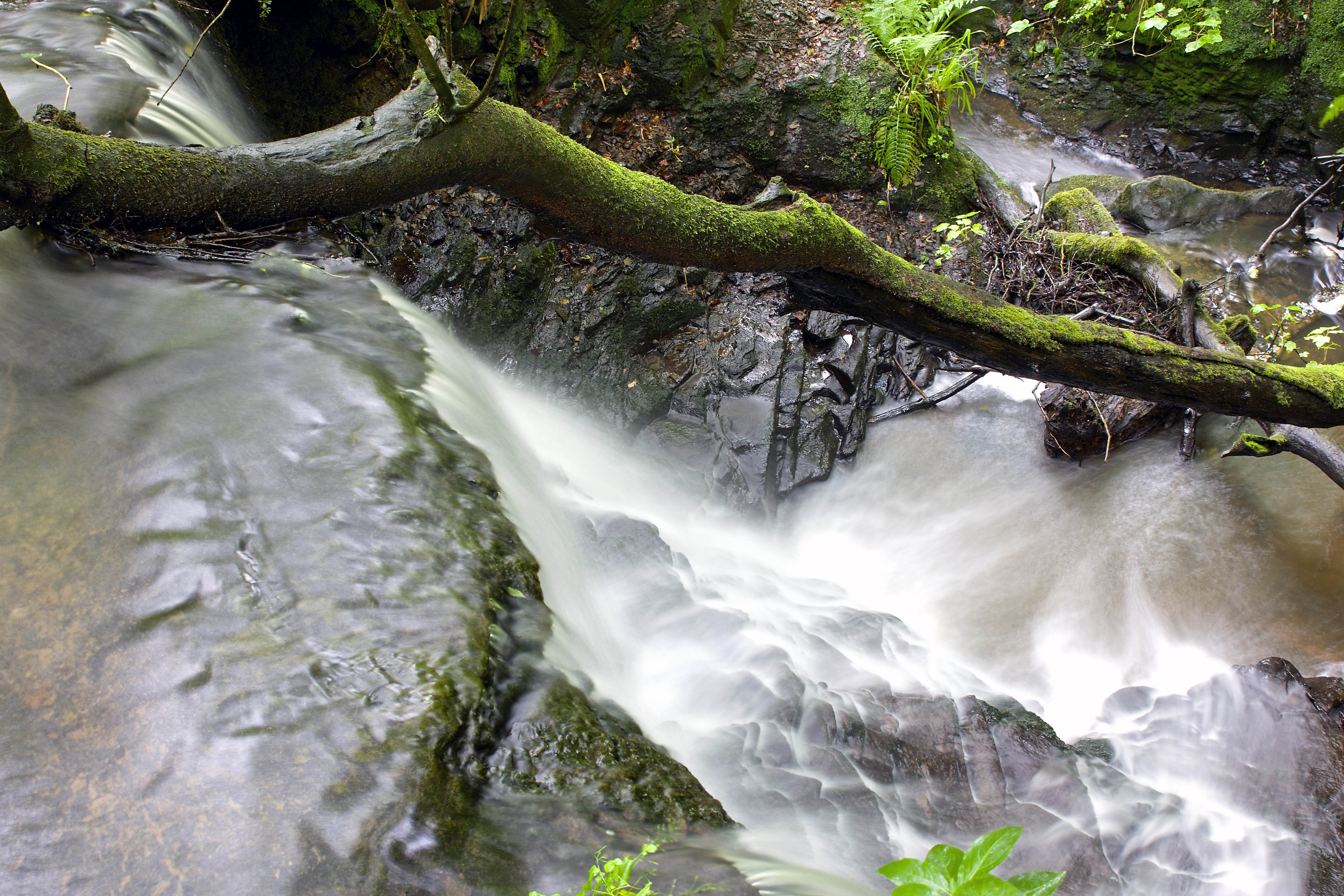
Somewhere near Hawnby (Blow Gill Falls)
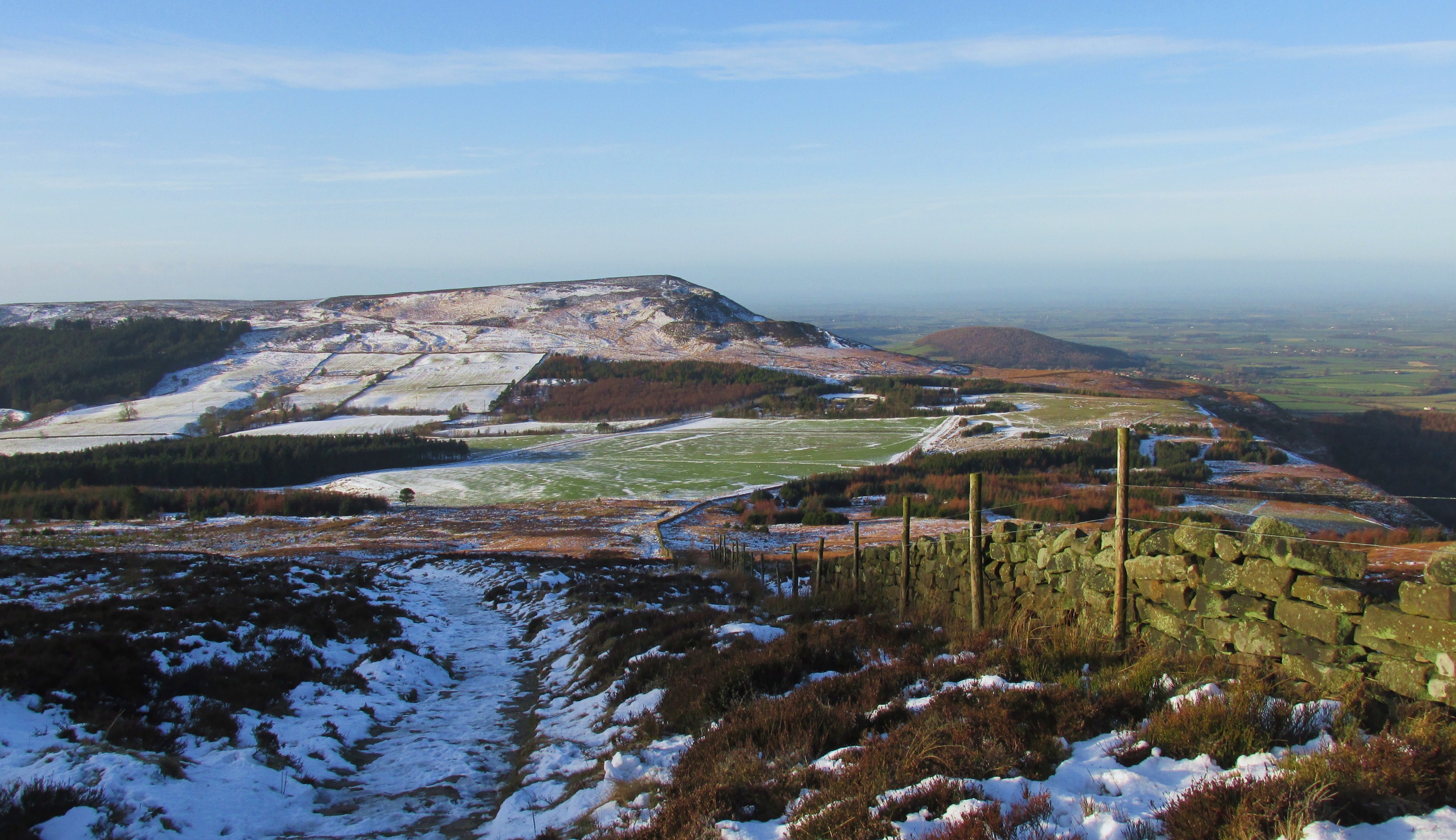
Tip Topping.
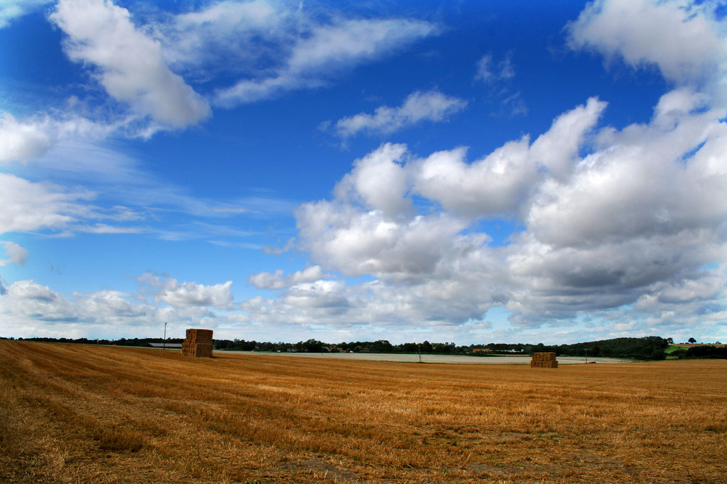
A gathering of hay.
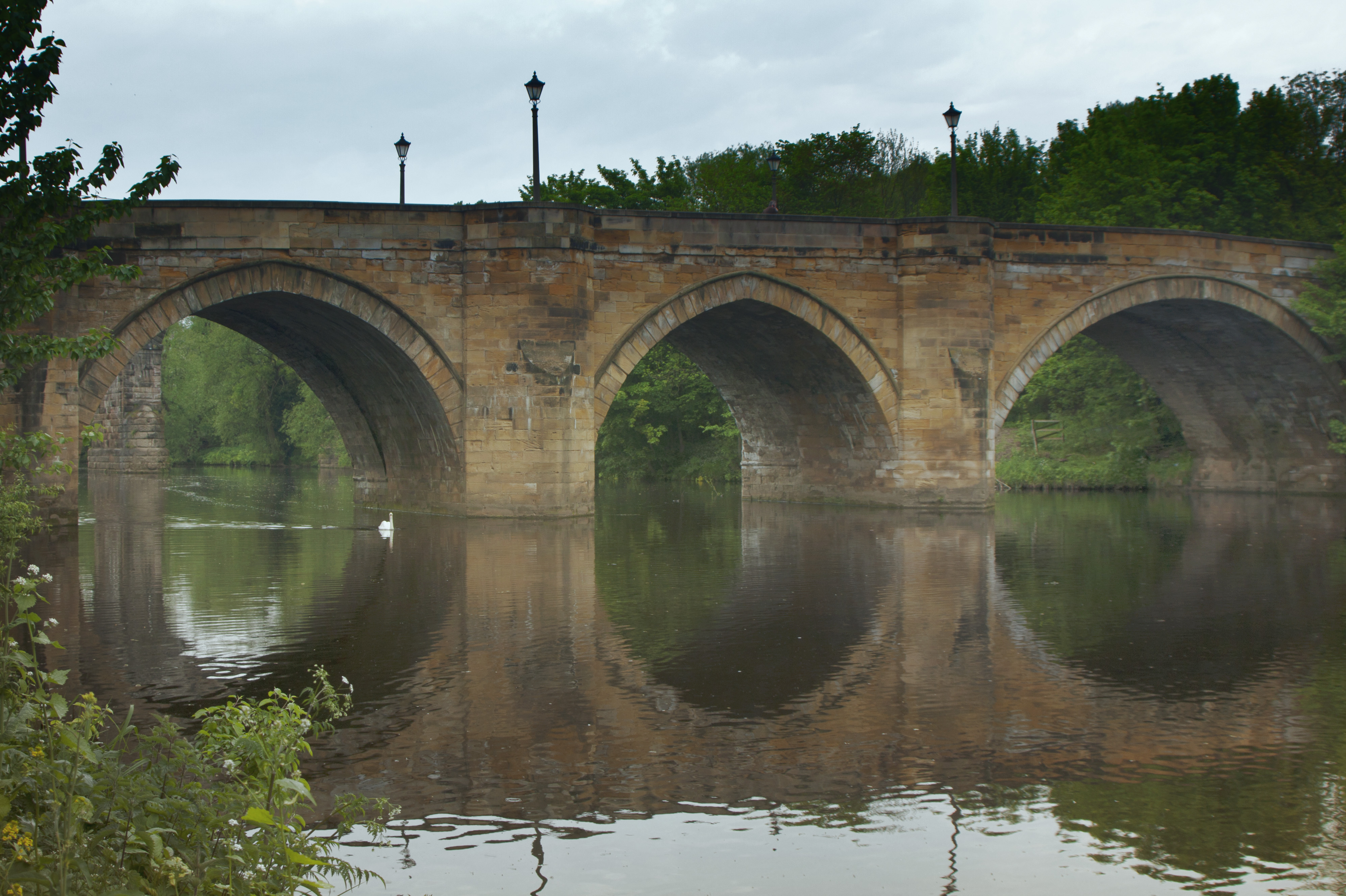
River Tees
Scugdale, North Yorkshire
The Cleveland way...19 miles...Thimbleby moor.

Blow Gill Falls
Tree to the Bottom.1

Roseberry Topping, North York Moors
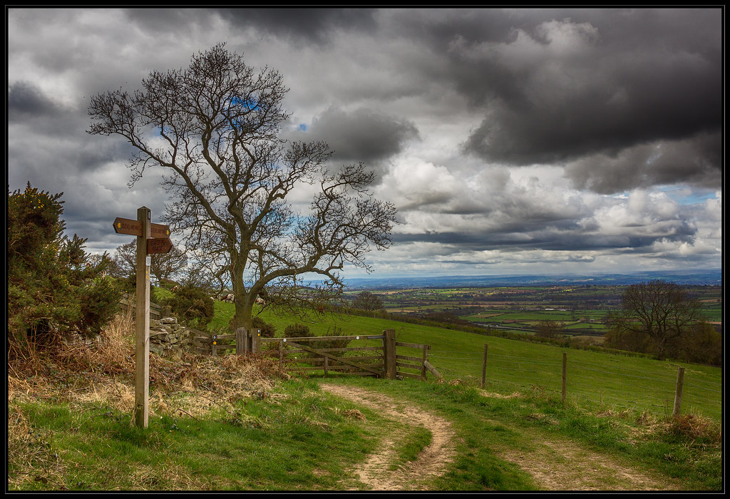
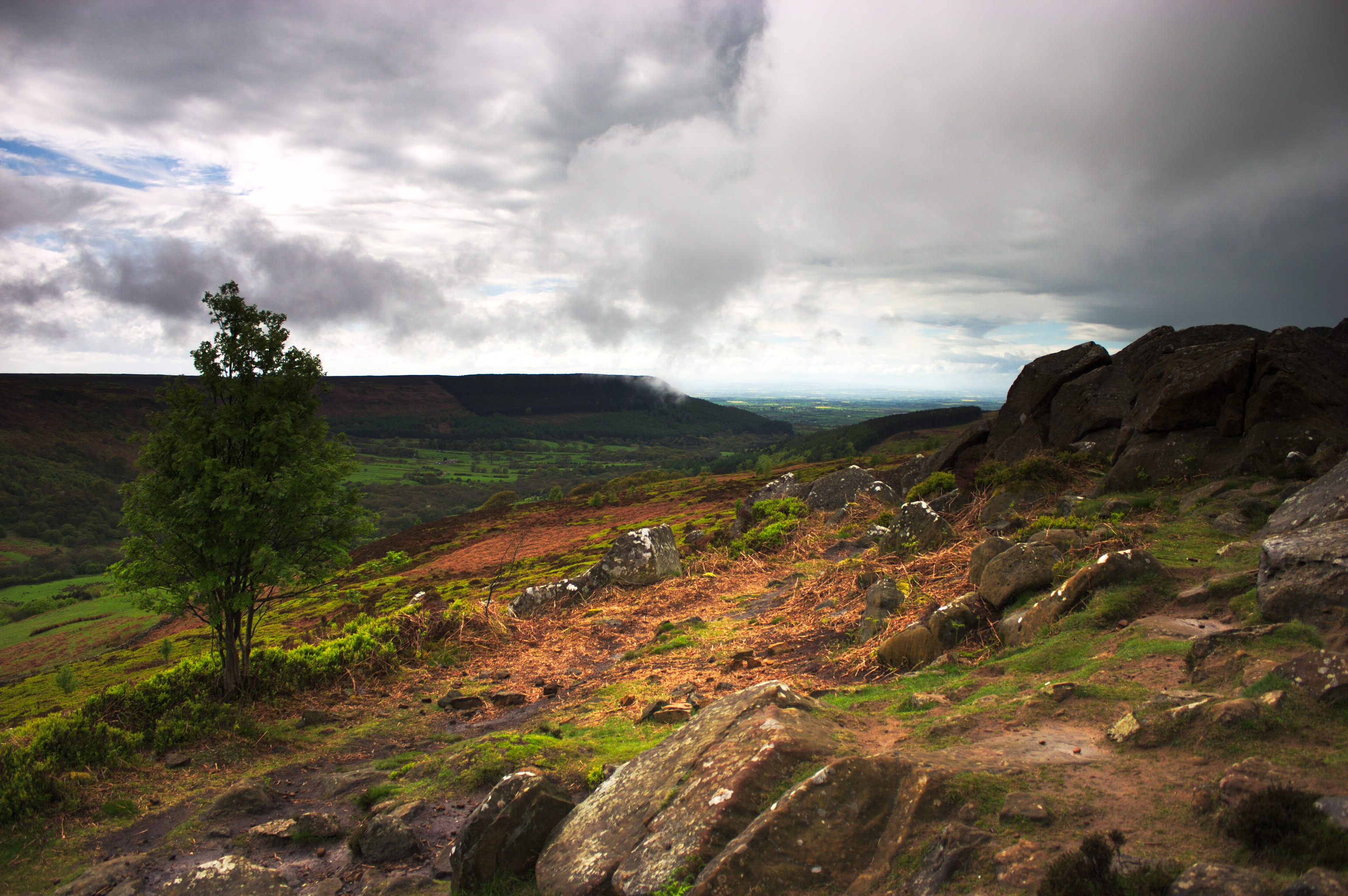
On the moors.

Summer Sparklers
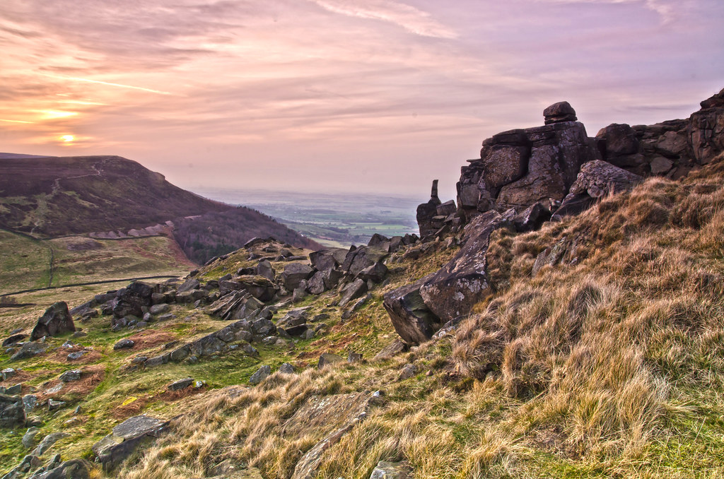
The Wainstones.
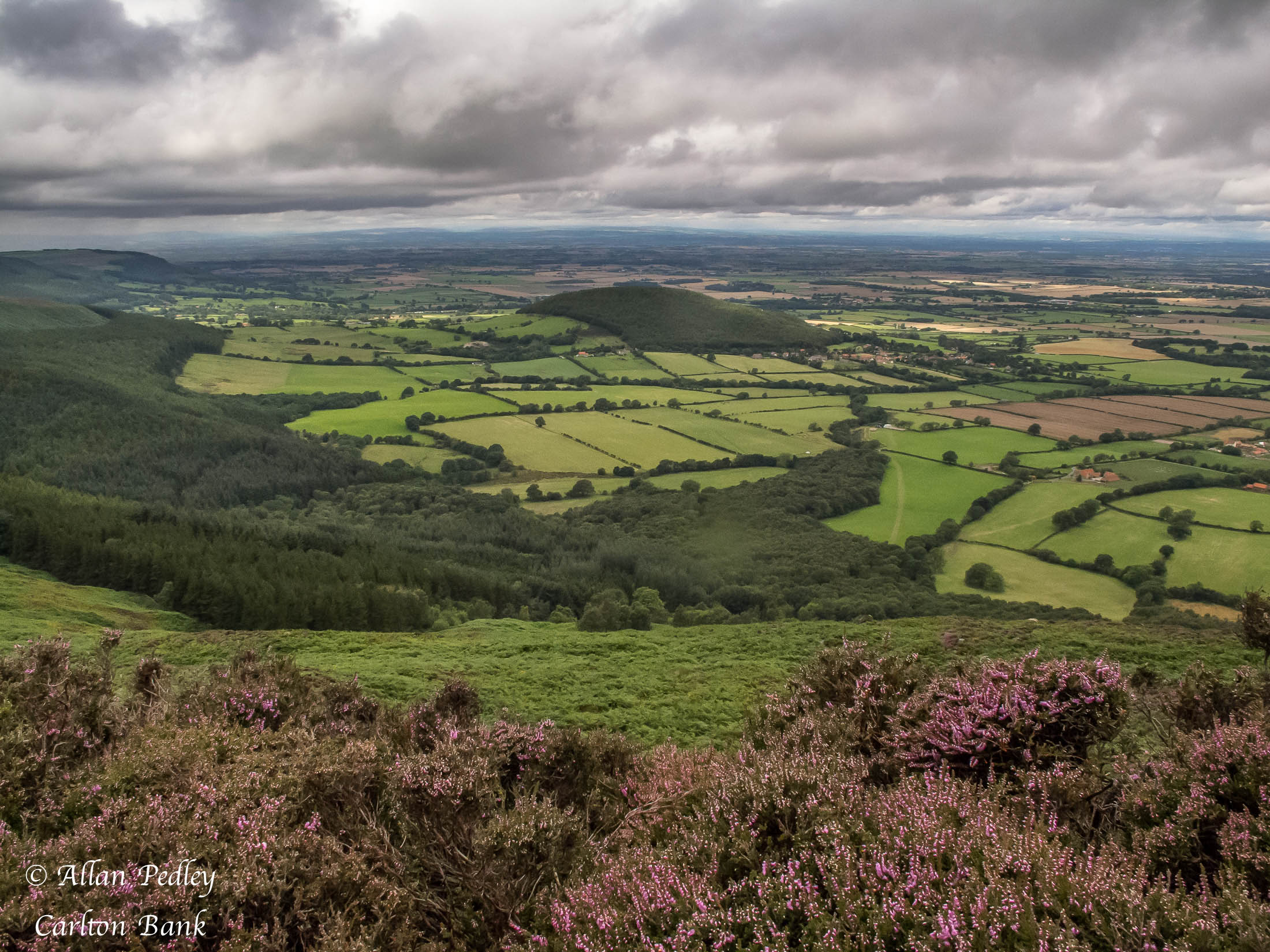
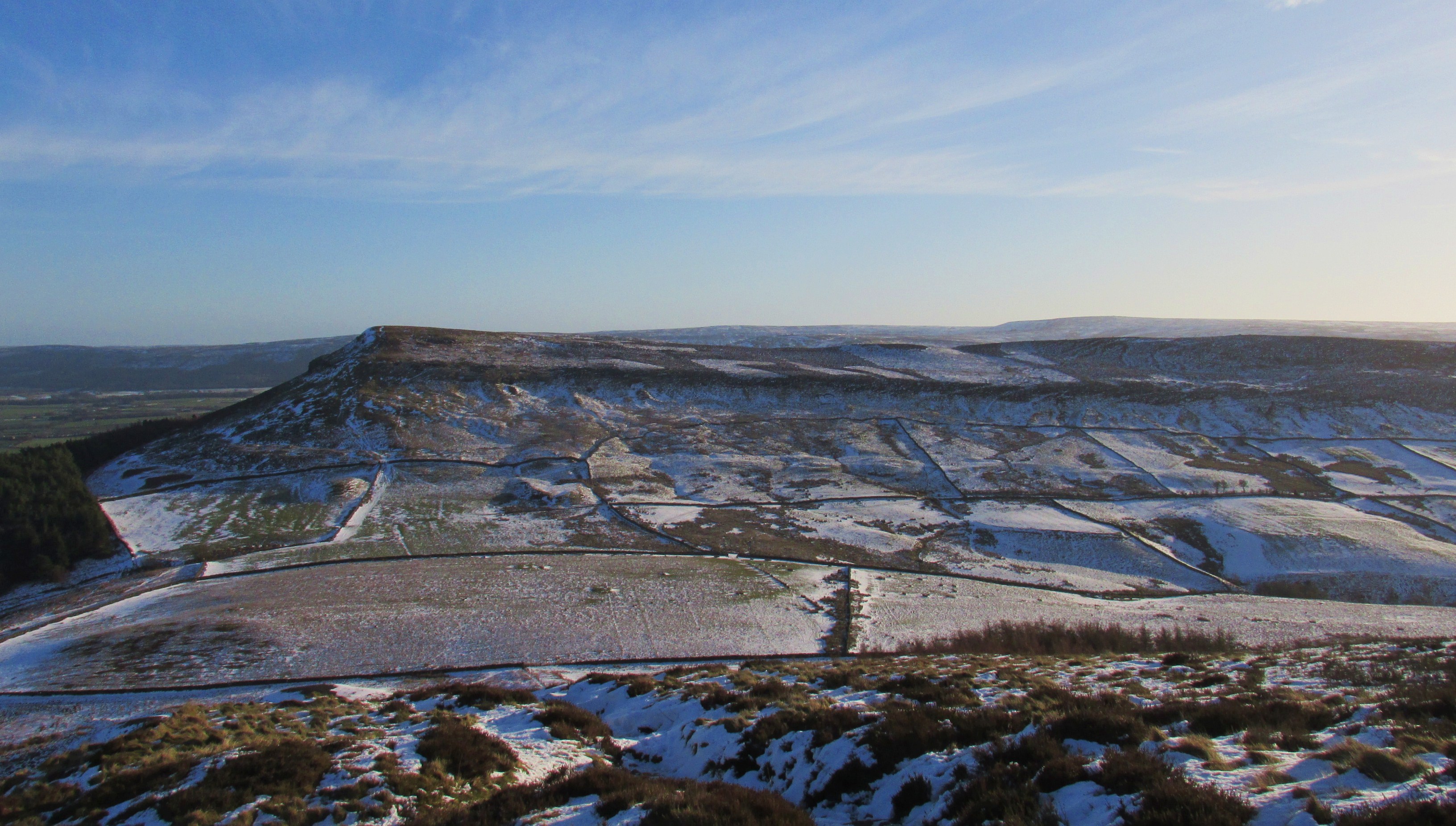
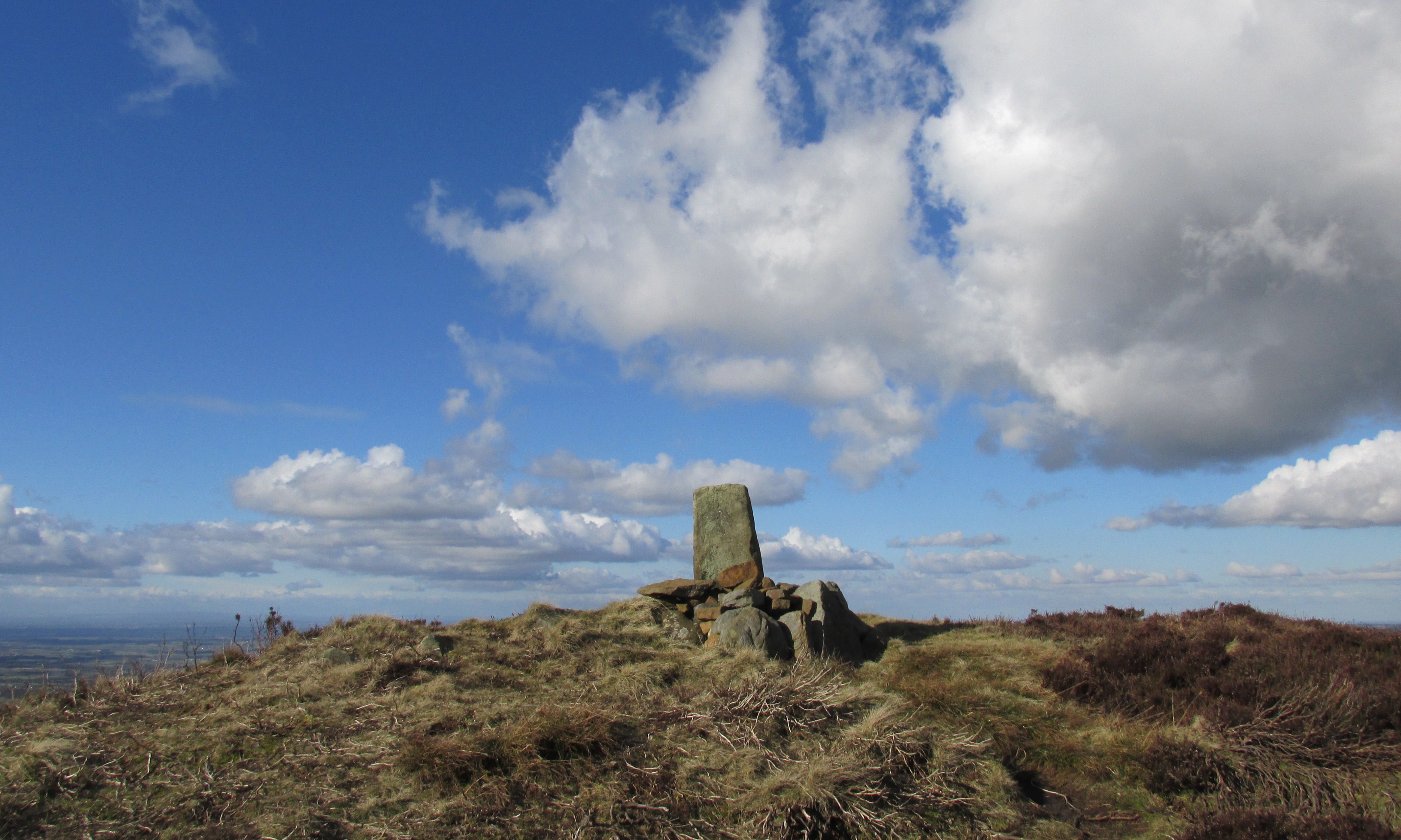
Carlton Bank
The Cleveland way...35.5 miles...Burton howe.
Topographic Map of Swainby, Northallerton DL6, UK
Find elevation by address:

Places in Swainby, Northallerton DL6, UK:
Places near Swainby, Northallerton DL6, UK:
3 Black Horse Ln, Swainby, Northallerton DL6 3DZ, UK
Ingleby Arncliffe
Osmotherley
Germany Cottage
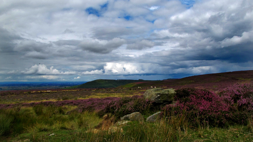
Carlton Bank
3 A, Northallerton DL6 2RX, UK
Martin House
Stokesley
23 Forest Ln, Kirklevington, Yarm TS15 9LX, UK
8 Crowood Ave
Kirklevington
Blair Avenue
Teesside Industrial Estate
Great Broughton
Coulby Newham
Ts17 5bl
Dalby Ct, Coulby Newham, Middlesbrough TS8 0XE, UK
Chop Gate
Thornaby
School House
Recent Searches:
- Elevation of Corso Fratelli Cairoli, 35, Macerata MC, Italy
- Elevation of Tallevast Rd, Sarasota, FL, USA
- Elevation of 4th St E, Sonoma, CA, USA
- Elevation of Black Hollow Rd, Pennsdale, PA, USA
- Elevation of Oakland Ave, Williamsport, PA, USA
- Elevation of Pedrógão Grande, Portugal
- Elevation of Klee Dr, Martinsburg, WV, USA
- Elevation of Via Roma, Pieranica CR, Italy
- Elevation of Tavkvetili Mountain, Georgia
- Elevation of Hartfords Bluff Cir, Mt Pleasant, SC, USA