Elevation of SW th Run, Lake Butler, FL, USA
Location: United States > Florida > Union County > Lake Butler >
Longitude: -82.429096
Latitude: 29.996356
Elevation: 43m / 141feet
Barometric Pressure: 101KPa
Elevation Map:
Satellite Map:
Related Photos:
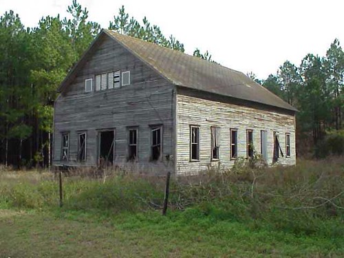
2000+ views - Blair Church in Ghost Town Union County, FL

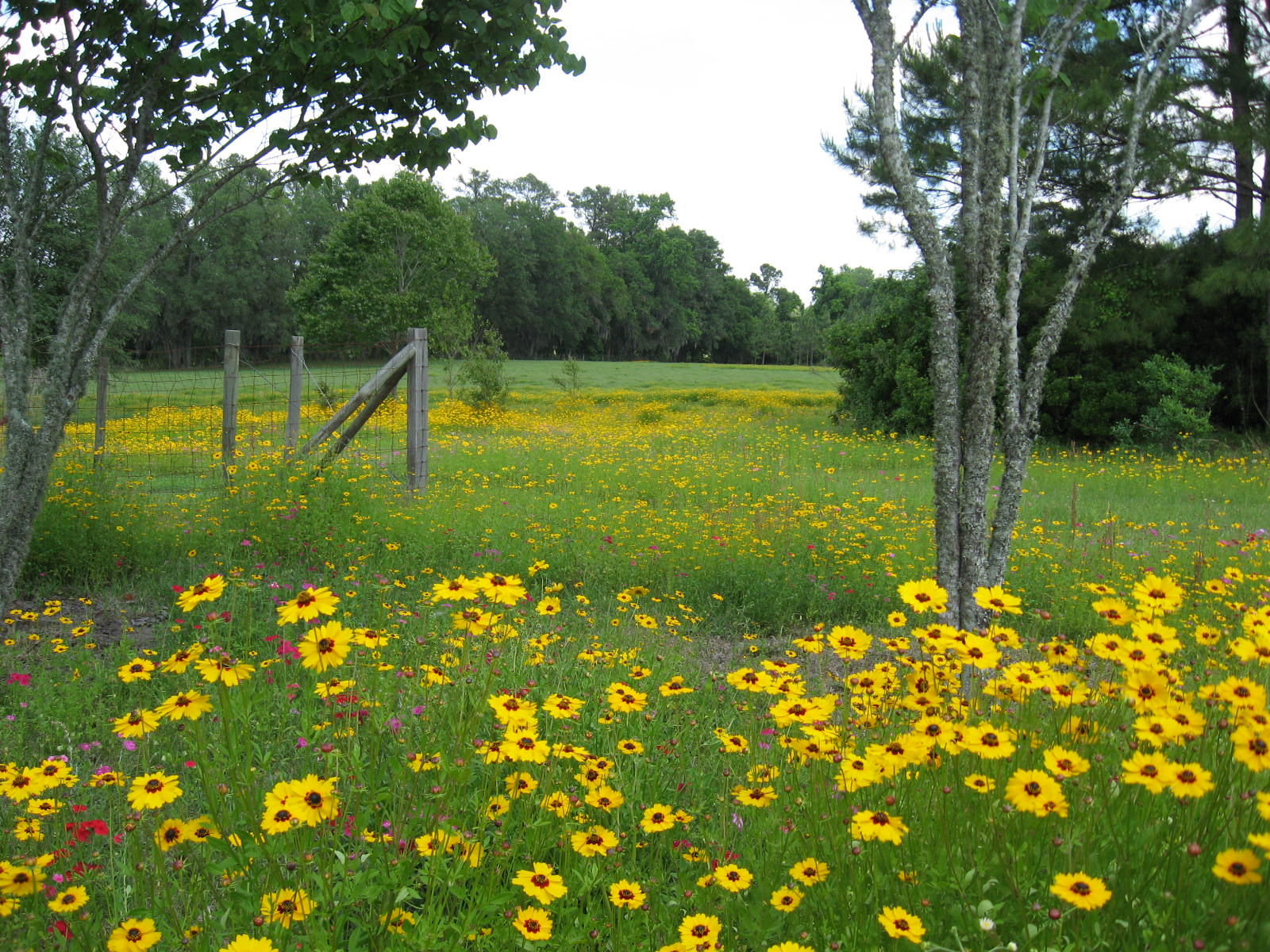
Out in Alachua for Sarah & John's wedding. Florida ranch.

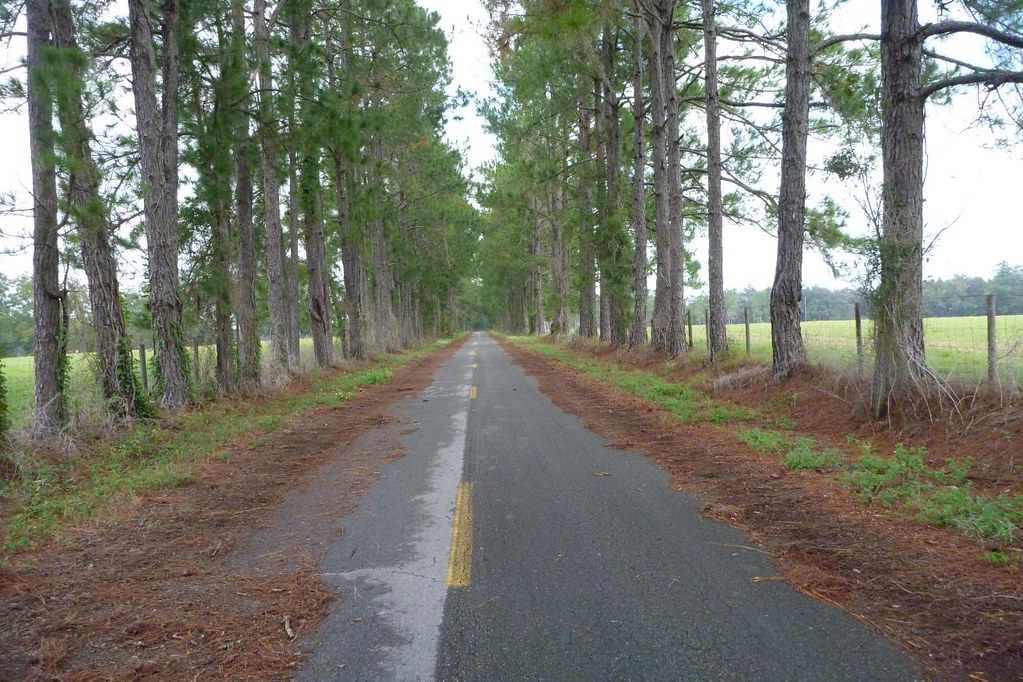
Finally got my fall in Florida! #Florida #nature #santafe
Alachua County
Cline Feagle Road
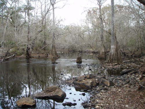
Santa Fe River

Blueberry Picking at Deep Spring Farm
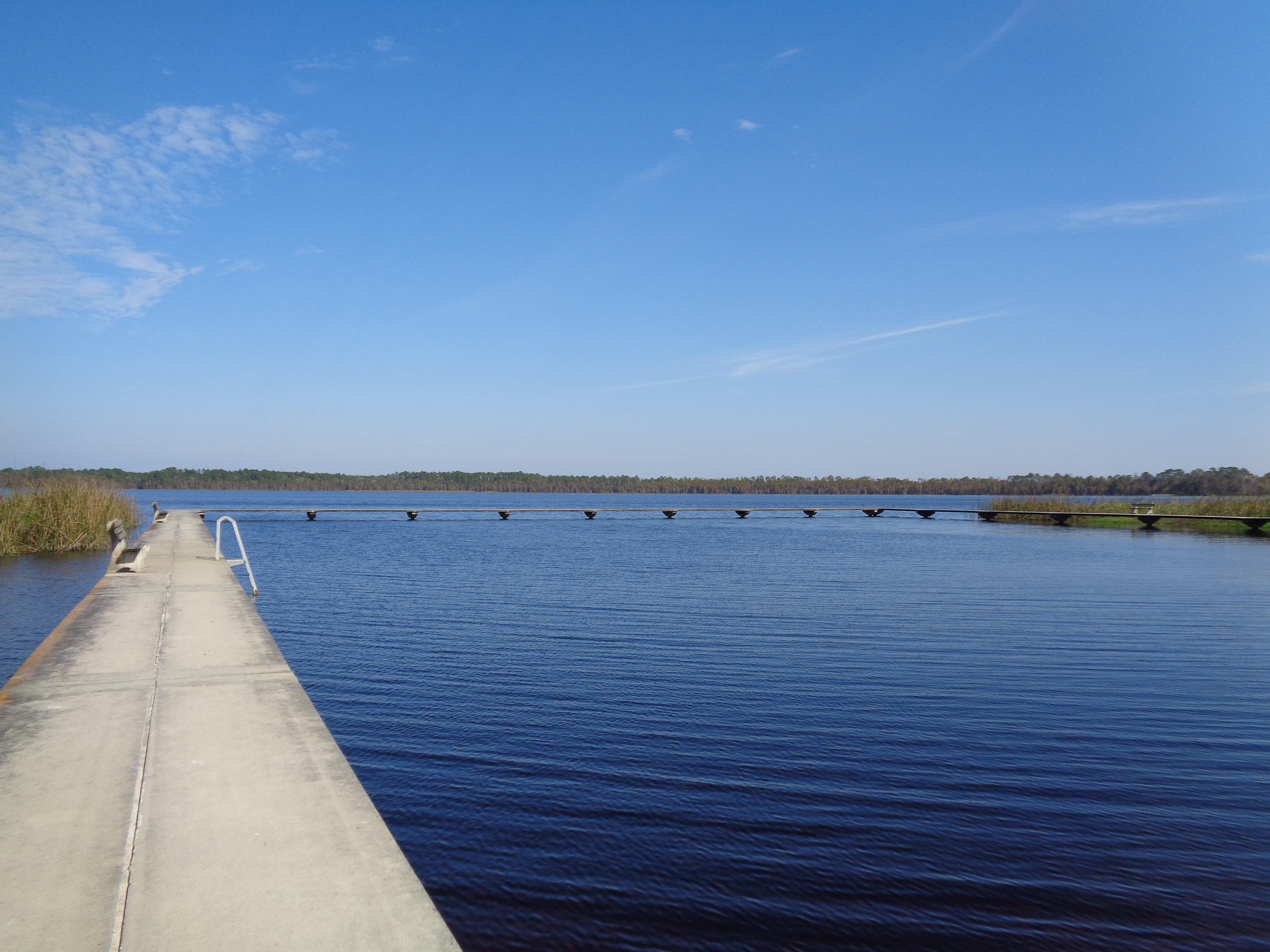
Butler Lake
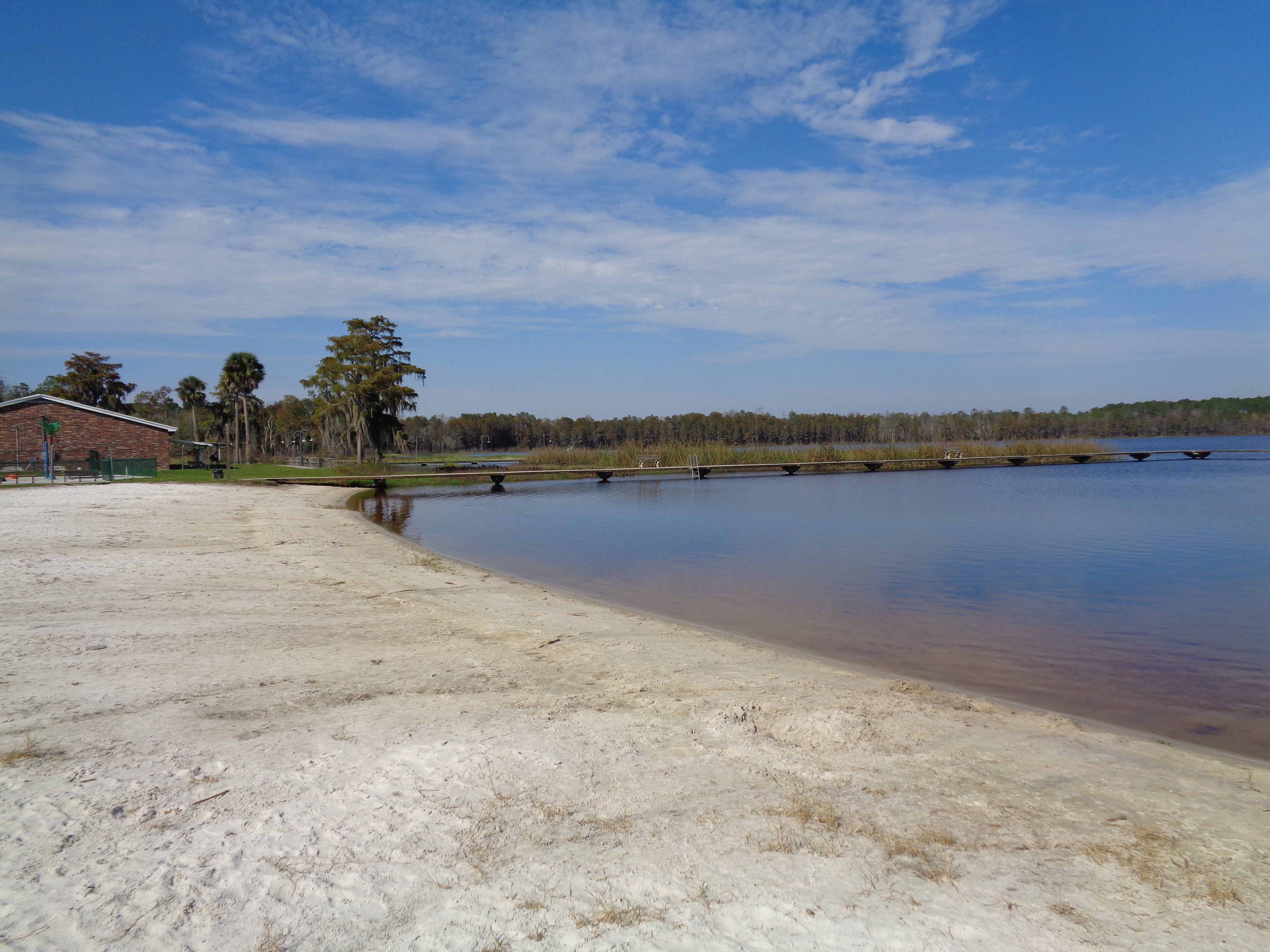
Butler Lake and beach
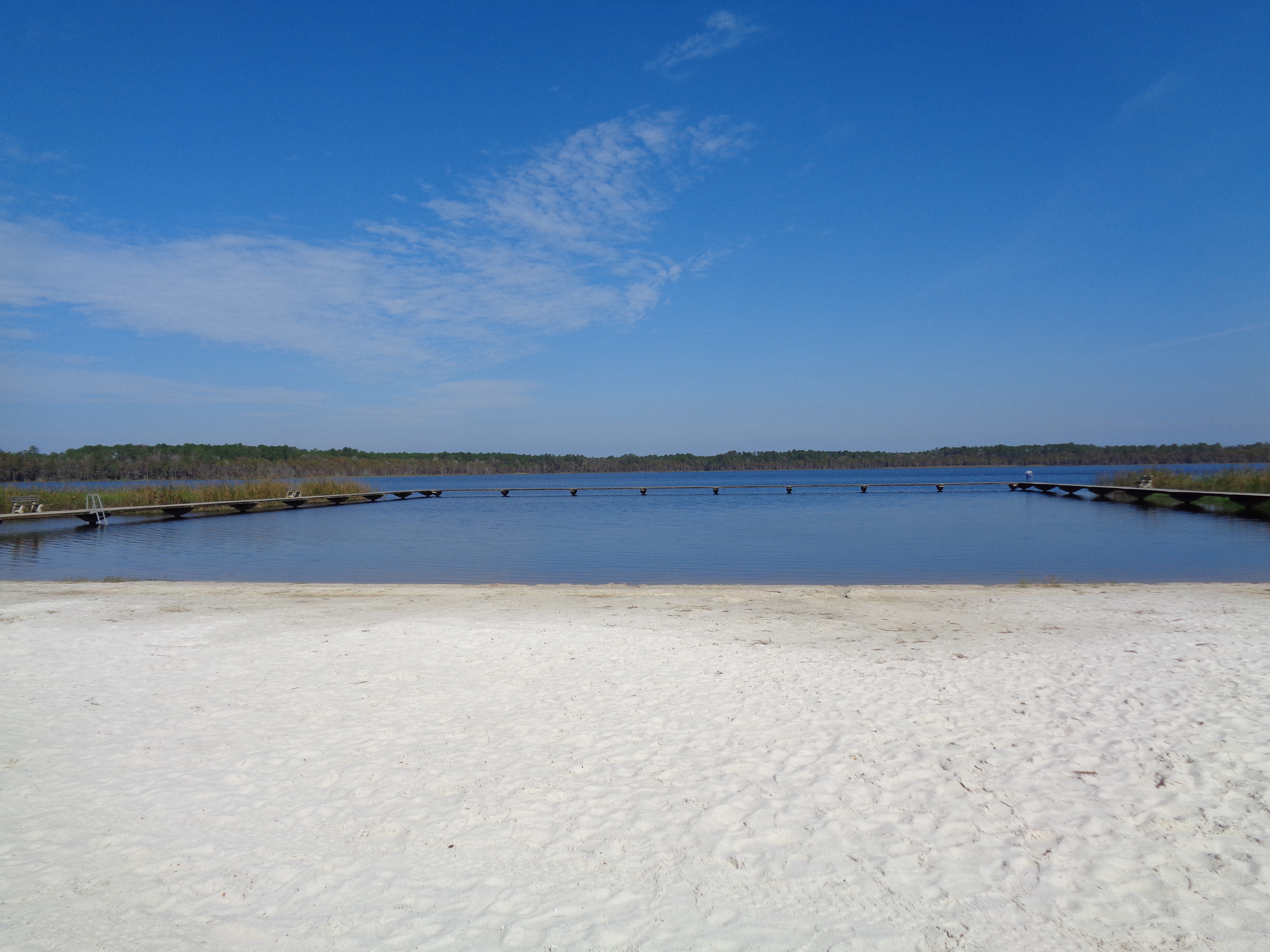
Butler Lake and beach
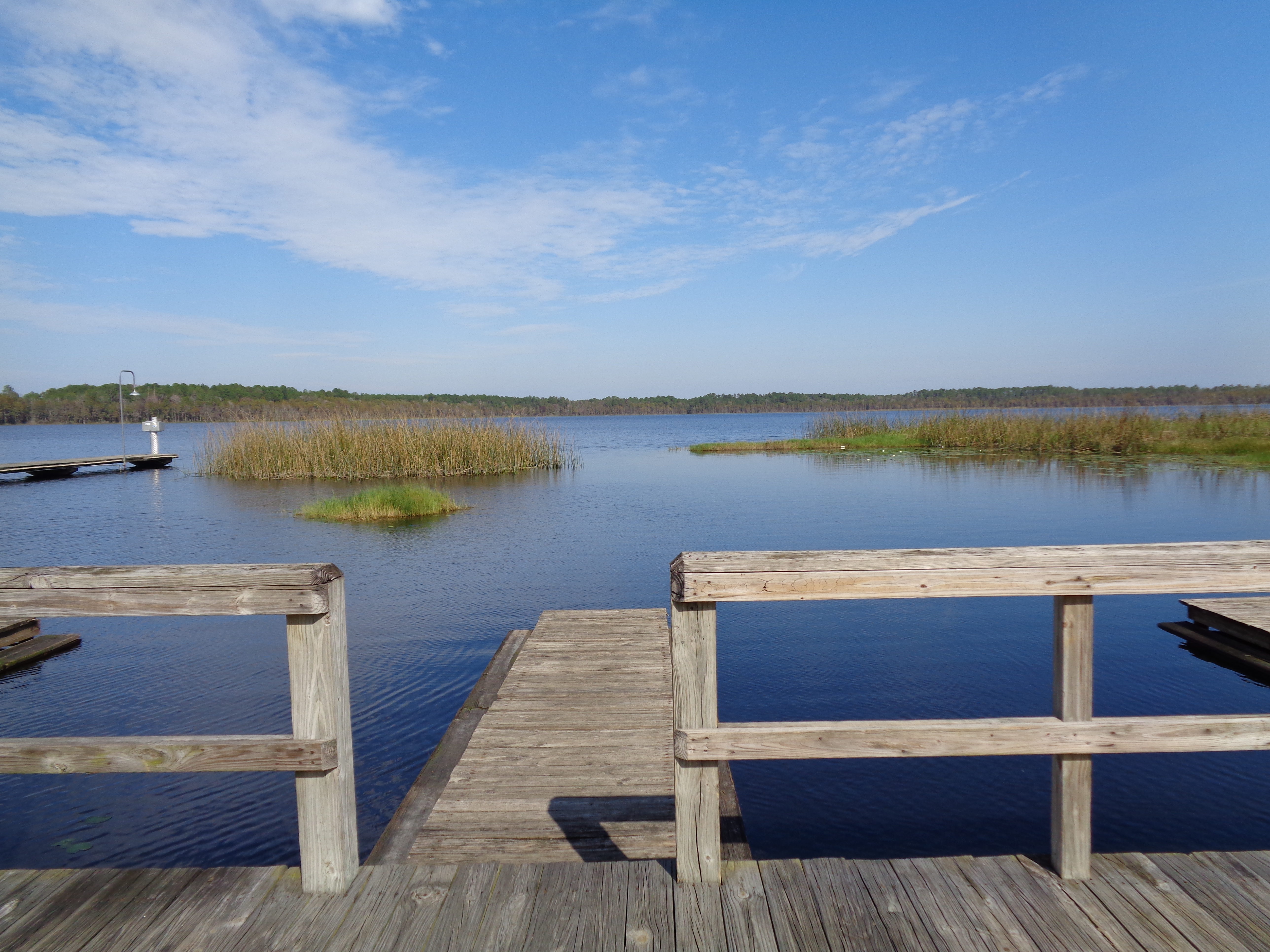
Butler Lake boat slips

Santa Fe River

Pyrgus sp.

Whirlabout, Polites vibex

Planted Pines
Topographic Map of SW th Run, Lake Butler, FL, USA
Find elevation by address:

Places near SW th Run, Lake Butler, FL, USA:
Co Rd, Lake Butler, FL, USA
8169 Sw 126th Ct
SW th Ave, Lake Butler, FL, USA
FL-, Lake Butler, FL, USA
SW County Rd A, Lake Butler, FL, USA
8383 Fl-121
FL-, Lake Butler, FL, USA
FL-, Lake Butler, FL, USA
Co Rd 18A, Lake Butler, FL, USA
6329 Sw 81st Rd
SW 78th Ln, Lake Butler, FL, USA
Main St, Lake Butler, FL, USA
Worthington Springs
14940 Sw 48th Path
7875 Nw 290 Ave
6793 Sw 62nd Trail
Lake Butler
13100 Sw 194 Ave
5145 Sw 47th Loop
Santa Fe
Recent Searches:
- Elevation of Corso Fratelli Cairoli, 35, Macerata MC, Italy
- Elevation of Tallevast Rd, Sarasota, FL, USA
- Elevation of 4th St E, Sonoma, CA, USA
- Elevation of Black Hollow Rd, Pennsdale, PA, USA
- Elevation of Oakland Ave, Williamsport, PA, USA
- Elevation of Pedrógão Grande, Portugal
- Elevation of Klee Dr, Martinsburg, WV, USA
- Elevation of Via Roma, Pieranica CR, Italy
- Elevation of Tavkvetili Mountain, Georgia
- Elevation of Hartfords Bluff Cir, Mt Pleasant, SC, USA