Elevation of SW S Shore Dr, Mukwonago, WI, USA
Location: United States > Wisconsin > Waukesha County > Eagle >
Longitude: -88.441227
Latitude: 42.8488518
Elevation: 252m / 827feet
Barometric Pressure: 98KPa
Elevation Map:
Satellite Map:
Related Photos:

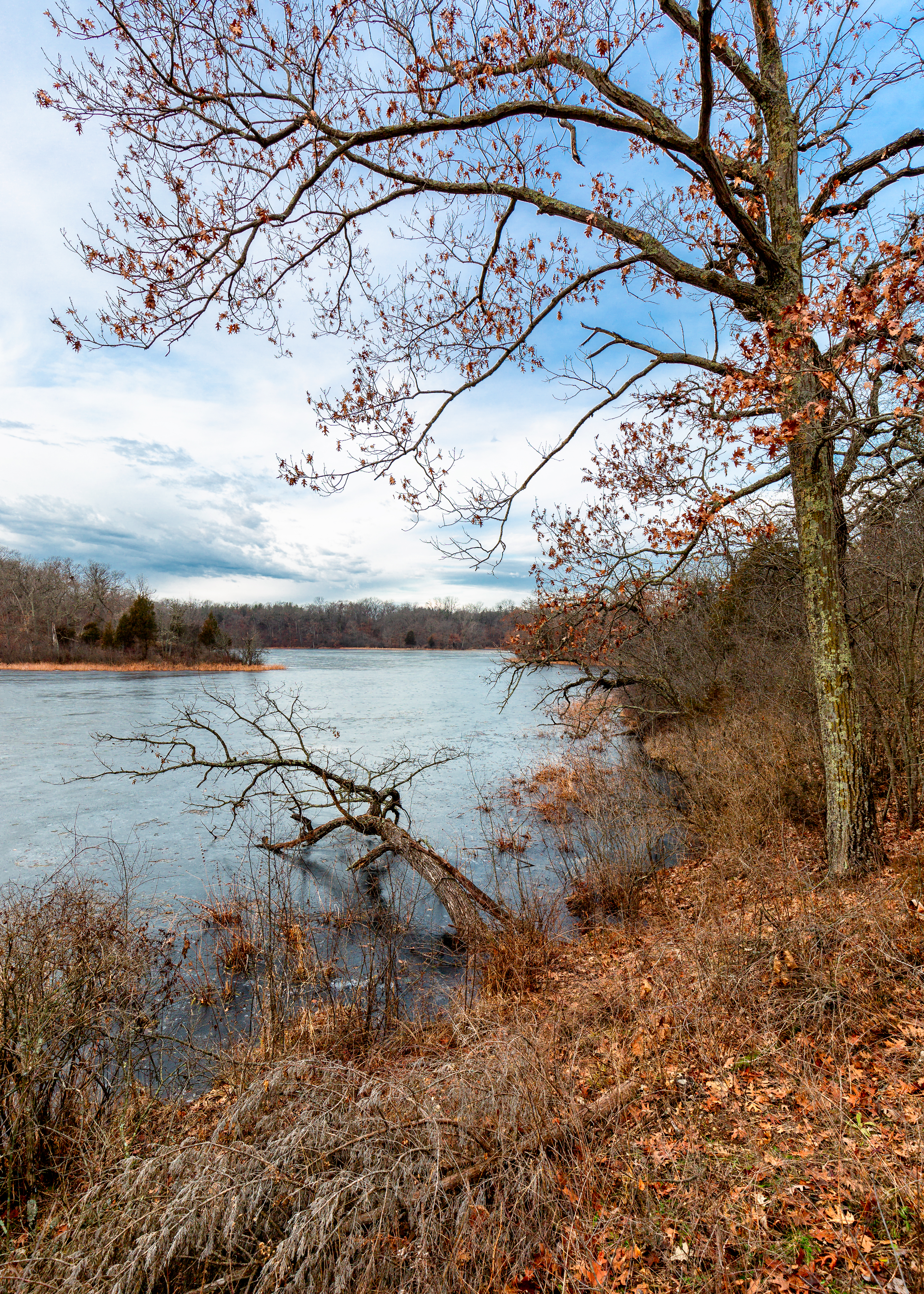
frozen farmland...

From The Escape

In seed time learn, in harvest teach, in Winter enjoy ~William Blake

Paradise Springs

Walworth County, WI Sheriff Ford Police Interceptor Sedan

Even the frogs were a target

2019-196/365 Aptar Mukwonago Little Planet

Ice Blue
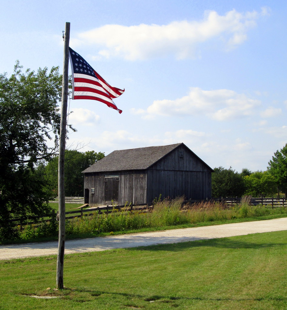
Loomer Barn As Viewed From Harmony Town Hall.

Barn quilt on a well kept barn
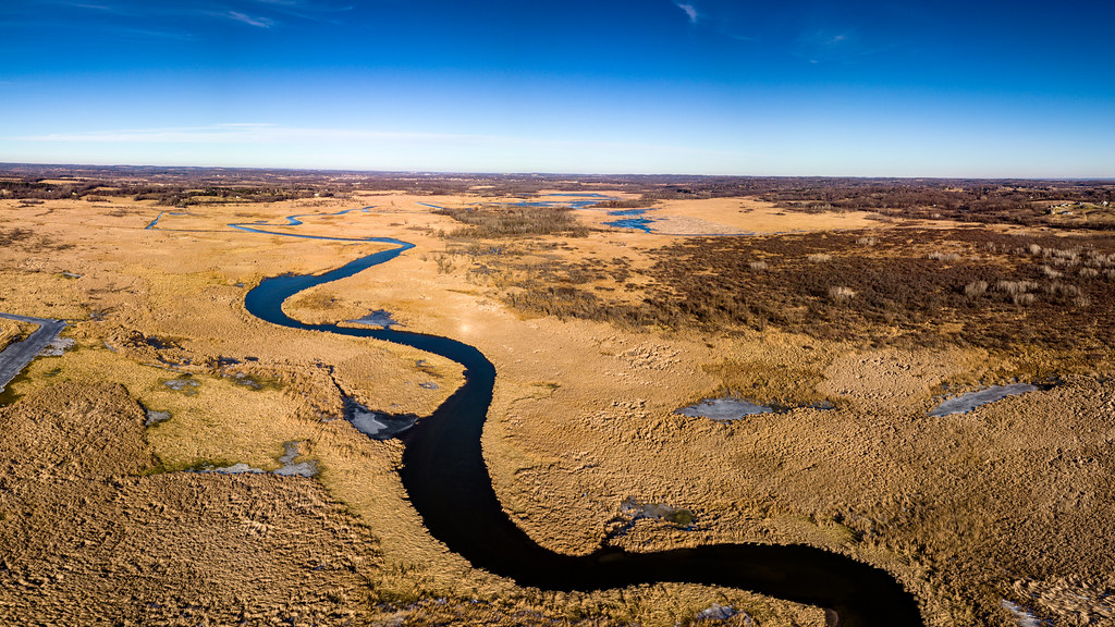
2019-032-365 Fox River

2019-035-365 Fox River Monochrome

Scuppernong sunset

Blue Stang

heavy atmosphere

watercress snowcone

Working Thru the Pane

Holz Parkway

Lower Phantom Lake Little Planet

Sun Behind Light Clouds Over Fresh Wet Early March Snowfall in Southern Waukesha County

Larkin Lake Little Planet

A Mild Flocking
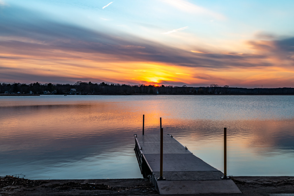
Phantom Lake Sunset - Explored
All Is Calm

Fox and Mukwonago Rivers 360 Pano

Frog Alley Sunset - Explored

Kettle Moraine State Forest Mukwonago River Unit

Our Path

Scuppernong Prairie

Double Tree

Spring House

Phantom Reflections

Wisconsin Relict

Lower Phantom Lake 360 Panorama

Nearing the end

Who Needs a Yellow Brick Road

Ottawa Lake Sunset

prairie comet

Frozen Phantom Lake 360 Panorama.jpg
Topographic Map of SW S Shore Dr, Mukwonago, WI, USA
Find elevation by address:

Places near SW S Shore Dr, Mukwonago, WI, USA:
W309
W2446 Valley Rd
206 East Ave
209 N Parkview Dr
Eagle
W370 S9590 Wi-67
N8575
Troy
East Troy
Mcmiller Sports Center
Troy
Swoboda Road
W2245 Swoboda Rd
Potter Lake
N9124
Alpine Valley
Mukwonago
East Troy
Alpine Valley Resort
N6120 Wi-120
Recent Searches:
- Elevation of Corso Fratelli Cairoli, 35, Macerata MC, Italy
- Elevation of Tallevast Rd, Sarasota, FL, USA
- Elevation of 4th St E, Sonoma, CA, USA
- Elevation of Black Hollow Rd, Pennsdale, PA, USA
- Elevation of Oakland Ave, Williamsport, PA, USA
- Elevation of Pedrógão Grande, Portugal
- Elevation of Klee Dr, Martinsburg, WV, USA
- Elevation of Via Roma, Pieranica CR, Italy
- Elevation of Tavkvetili Mountain, Georgia
- Elevation of Hartfords Bluff Cir, Mt Pleasant, SC, USA