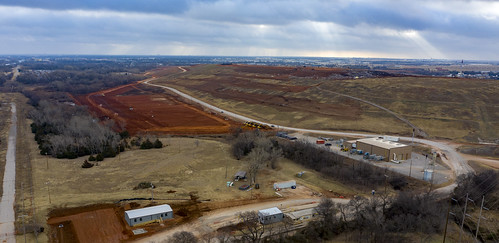
Elevation of SW rd St, Oklahoma City, OK, USA

Location: United States > Oklahoma > Cleveland County > Oklahoma City >

Longitude: -97.524343

Latitude: 35.3653936

Elevation: 390m / 1280feet

Barometric Pressure: 97KPa

Elevation Map:

elevation map of SW rd St, Oklahoma City, OK, USA
Satellite Map:

Satellite map of SW rd St, Oklahoma City, OK, USA
Related Photos:

texture oklahoma church cross gimp creepy spooky horror shadowbox orton darkmoon religiousicons revelations jerryjones joessistah
THE TIME IS NEAR...
plaza city sculpture oklahoma water fountain silhouette triangles nikon falling bok theme mistletoe lin okc weekly fallingwater emery flycatcher scissortail d90 bankofoklahoma linemery 52weeks2013 zendt66
Triangular Sculpture - Sillhouette (View on Black)
blackandwhite bw oklahoma architecture buildings route66 downtown cityscape oklahomacity tamron16300mmf3563diiivcpzdb016
Downtown OKC
texture oklahoma decay gimp creepy spooky abandon weathered shadowbox okc deserted darkmoon jerryjones
DO YOU DARE ENTER THE OLD ASYLUM
flag military knife patriotic day71 heroism 365days
MY TRIBUTE TO THE BRAVE
dji drone mavic2 oklahomacity winchesterdriveintheater aerialview oklahoma unitedstatesofamerica us
Winchester_Drive-In_Theater (18 of 20)
oklahoma architecture buildings nikon downtown tamron oklahomacity horwath tamronlens firstnationalcenter cityplacetower d700 devontower rayhorwath sandridgecenter tamron28mm300mmlens
Oklahoma City
sky oklahoma skyscraper construction day skyscrapers devon okc oklahomacity devontower pwpartlycloudy
Worm's Eye View
ccc discgolf nationalregisterofhistoricplaces wpa willrogersgardens willrogerspark nativesandstone dji mavicpro aerialview drone oklahomacity oklahoma unitedstates us
Will_Rogers_Park-0011
building oklahoma skyline architecture design downtown scene structure oklahomacity yabbadabbadoo nikcolorefexpro nikviveza topazclarity canon24105f4lisusmlens
Skyline (_MG_8670)
mavic2 oklahomacity scissortailpark aerialview oklahoma unitedstatesofamerica us
Droning (4 of 21)
clouds geotagged day ad bluesky clear moat hdr oklahomacity brandonwatts chesapeakeboathouse geo:lat=3545762 altezacondo geo:lon=97504845
Chesapeake Boathouse
oklahoma waterfall oklahomacity bricktown
Bricktown Waterfall Closer View
mavic2 oklahomacity scissortailpark aerialview oklahoma unitedstatesofamerica us
Droning (12 of 21)
"Morning view of a 103 degree day in the city"
Morning view - 7/27/2017
longexposure sunset sky moon oklahoma dusk okc oklahomacity 2007 draper xti ©jasonbondy
Oklahoma Sky - 15 October 2007
canon chasebank myriadgardens oklahomacityok colcordhotel canon5dmarkii
An Architechtural View
city snow oklahoma architecture downtown okc frontlinechurchdowntown
Frontline view
evening nikon theme weekly challenge d90 intheevening 52weeks2013 zendt66
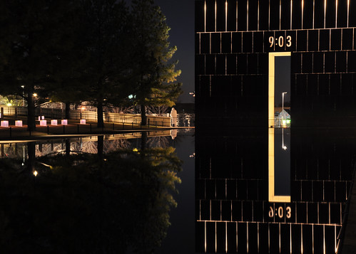
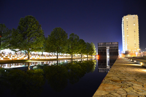
Oklahoma City National Memorial - Evening (View on Black)
blackandwhite art architecture artwork artistic patterns tube yabbadabbadoo canont3i canon24105f4lisusmlens
Tube Patterns
waterfall vegetation myriadgardens canon5dmarkii
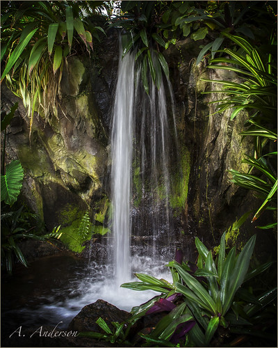
Water Fall
“Good Morning”
Autumn Yellow!
blackandwhite oklahoma water design blackwhite waterfall downtown hdr oklahomacity yabbadabbadoo nikcolorefexpro hdrone nikviveza canon24105f4lisusmlens
Dark Flowing Water
reflection oklahoma water landscape pond oklahomacity bricktown yabbadabbadoo canonef24105mmf4lisusm nikviveza
Reflecting Pond
city oklahoma underground lights neon palm pre okc ok neons conncourse palmpre
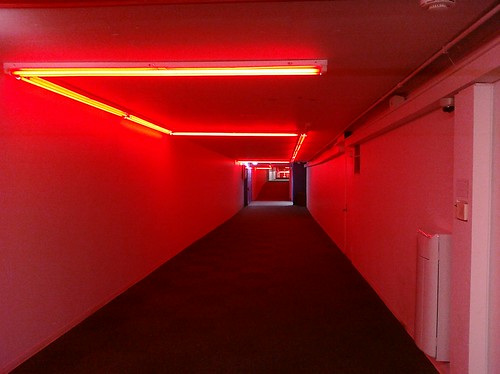
Oklahoma City Underground - Red
travel building oklahoma architecture landscape design route66 downtown cityscape structure oklahomacity yabbadabbadoo nikviveza topazclarity canon24105f4lisusmlens
The City_MG_1404
“Cold And Red”
Route 66
city oklahoma memorial ground
Oklahoma city memorial
city oklahoma architecture clouds landscape downtown cityscape oklahomacity landsscape tamron16300mmf3563diiivcpzdb016
City Skyline
city railroad oklahoma weather skyline architecture train canon buildings landscape design route66 structures hazy oklahomacity canont3i
The City_MG_2322
dji mavic2 oklahomacity oklahoma unitedstatesofamerica us
Droning (1 of 17)
geotagged
Oklahoma State Capitol [EXPLORED 3/11/18, highest position #80]
life blue trees sunset sun reflection love nature water beautiful beauty animals landscape amazing buffalo ancient rocks shrine pretty view purple chairs dam steel wildlife gear rememberance tribute incredible oklahomacity dams reflectionpool 903 oklahomacitybombingmemorial oklahomacitybombing 901 survivortree oklahomacitymuseum
Oklahoma City National Memorial
travel color oklahoma tourism sign canon landscape scenic streetphotography oklahomacity bricktown canont3i
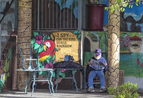
Reading the Morning Paper_MG_2278
city travel oklahoma architecture buildings landscape downtown cityscape oklahomacity tamron16300mmf3563diiivcpzdb016
Building Dreams Together
blackandwhite bw oklahoma water falls oklahomacity myriadbotanicalgardens ef24105mmf4lisusm
The Falls
park city blue trees sky parco usa reflection building green water alberi clouds america us downtown nuvole unitedstates edificio national cielo np acqua città riflesso statiuniti historicplaces andreamoscato
Oklahoma City National Memorial - Oklahoma
oklahoma water beauty gardens landscape falls environment myriad oklahomacity myriadbotanicalgardens canonef24105mmf4lisusm nikviveza mygearandme canont3i
Double Falls
square squareformat iphoneography instagramapp xproii uploaded:by=instagram foursquare:venue=4ded2ae563657045c02a23bc
Nursing it back to health. Last Monday that brown spot was half the yard. #grass