Elevation of SW 18th Way, Troutdale, OR, USA
Location: United States > Oregon > Multnomah County > Troutdale >
Longitude: -122.39780
Latitude: 45.5278978
Elevation: 96m / 315feet
Barometric Pressure: 100KPa
Elevation Map:
Satellite Map:
Related Photos:

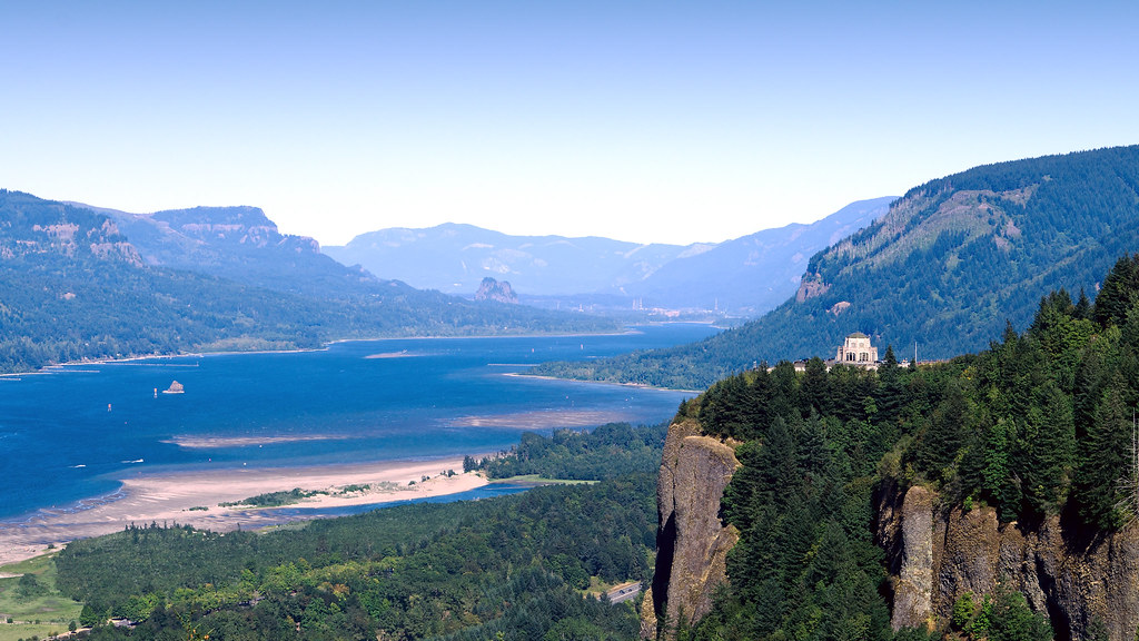
The Vista House

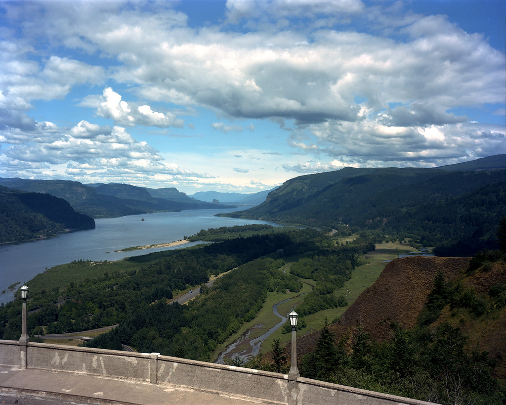
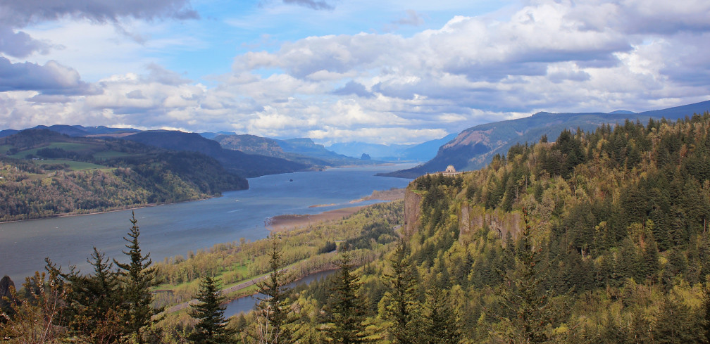
Columbia river gorge
View of Columbia River Near Portland OR USA-5a
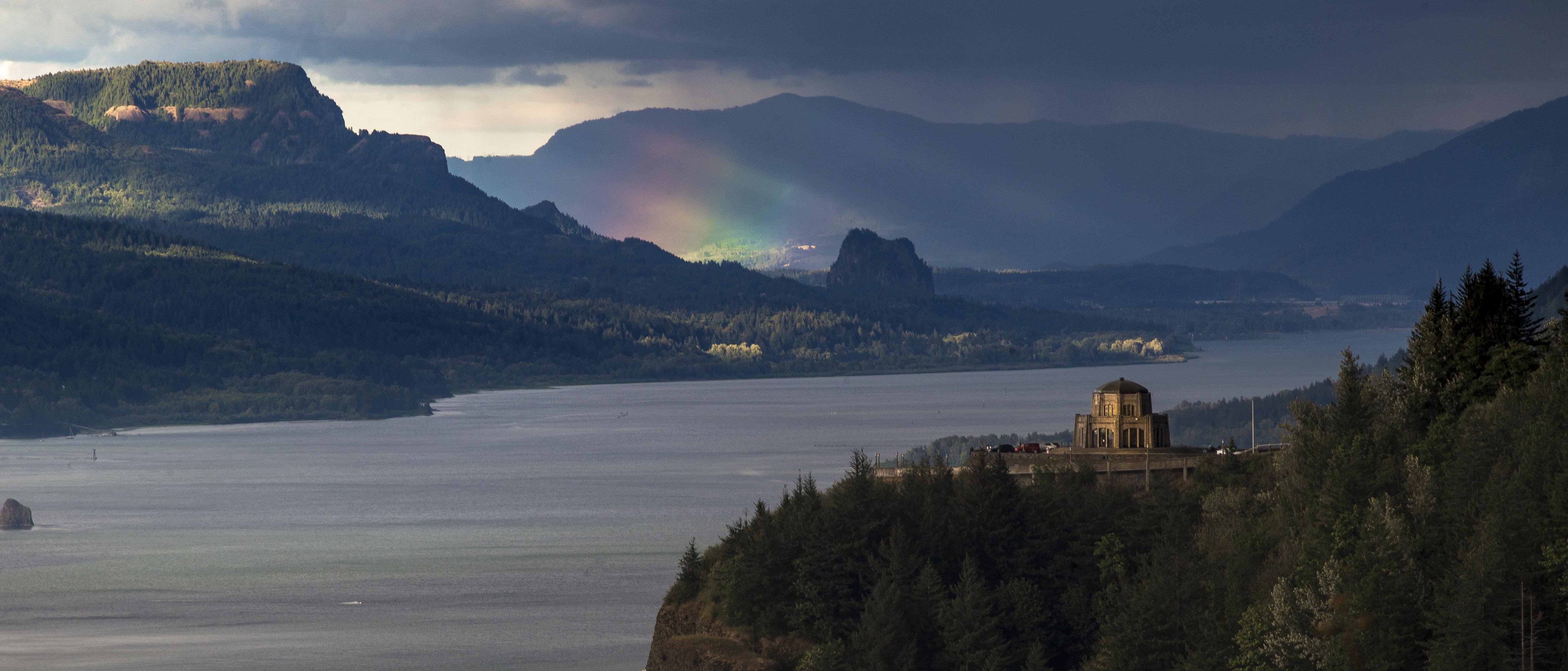
Rainbow in the Columbia River Gorge

Rainy Day over the Columbia River Near Portland OR USA-7a

The Columbia Gorge from Crown Point, Dec 2019

View from My Place

Rainy Day Looking Towards Latourell Fall Near Portland OR USA-6a (in Explore)

Vista House ~Oregon State ~ Columbia Gorge ~ My Old Photo

When ambition ends, happiness begins…
The Columbia Gorge from Crown Point, August 2013

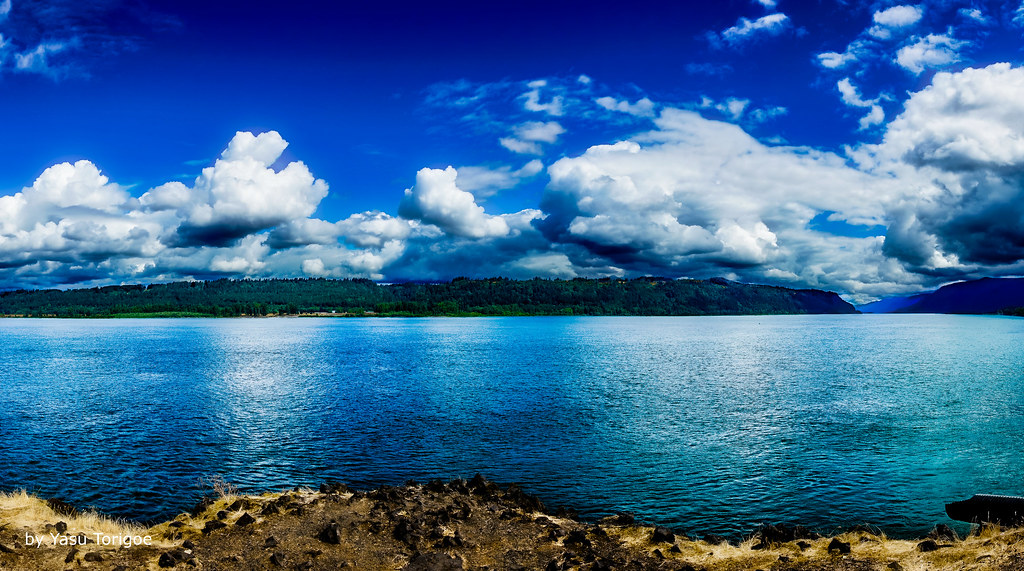
Columbia River and Sand Island
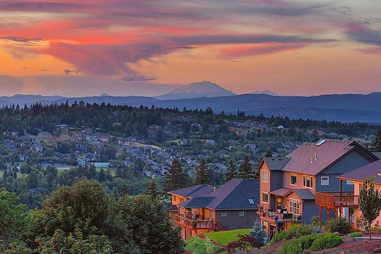
The happy colors of sunset in Happy Valley. Must be a happy place to live. But happy just to be there, even for a moment. . . . . . #photooftheday #happyvalley #sunset_ig #jj_oregon #jj_westcoast #pnw #traveloregon #exploreoregon #happyvalleyoregon #sunse

Vista House ~Oregon State ~ Columbia Gorge ~ My Old Photo

Sunlight and Waterfall . . . . #rockcreek #hiddenfalls #waterfall #waterfallsfordays #jj_westcoast #jj_oregon #canonphotography #photooftheday #oregonexplored #oregon #pnw #oregonwaterfalls #pnwisbest #pnwonderland #pnwisbeautiful #madewithmefoto #picofth

Jonsrud take 2

Classic View of the Columbia River Gorge

Columbia River Sunset

balancing act

Views of the Columbia River at Chanticleer Point

From Near to Far While Taking in the Gorge
Columbia River Gorge

Winter Latourell Falls

Crown Point
Columbia River
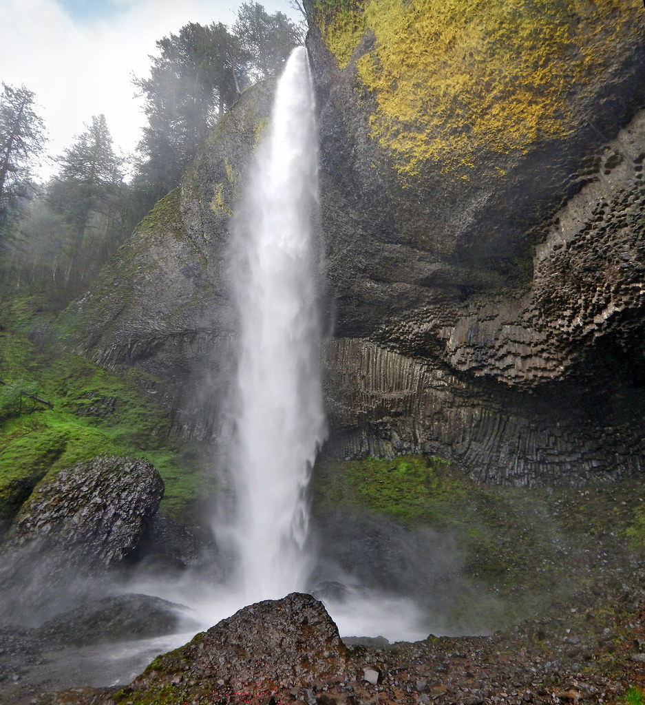
Latourell Falls

Washougal, Washington

Washougal, Washington

Latourell Color

il fiume va (sa dove andare)

Washougal, Washington

Row Row Row your boat...

Washougal, Washington

Beacon Rock and Vista House
Topographic Map of SW 18th Way, Troutdale, OR, USA
Find elevation by address:

Places near SW 18th Way, Troutdale, OR, USA:
1515 Sw Cherry Park Rd
824 Sw Cherry Park Rd
1200 Sw Autumn Way
2137 Sw Sturges Ln
2126 Sw Halsey St
Mcmenamins Edgefield
603 Se 19th St
544 Se 10th St
Troutdale
714 Se 10th St
210 Nw Frontage Rd
833 Ne 239th Pl
102 Cedar Ln
23740 Ne Holladay St
Wood Village
Wood Village, OR, USA
Northeast Coho Court
1486 Ne Coho Ct
NE Fairview Ave, Fairview, OR, USA
Fairview
Recent Searches:
- Elevation of Corso Fratelli Cairoli, 35, Macerata MC, Italy
- Elevation of Tallevast Rd, Sarasota, FL, USA
- Elevation of 4th St E, Sonoma, CA, USA
- Elevation of Black Hollow Rd, Pennsdale, PA, USA
- Elevation of Oakland Ave, Williamsport, PA, USA
- Elevation of Pedrógão Grande, Portugal
- Elevation of Klee Dr, Martinsburg, WV, USA
- Elevation of Via Roma, Pieranica CR, Italy
- Elevation of Tavkvetili Mountain, Georgia
- Elevation of Hartfords Bluff Cir, Mt Pleasant, SC, USA