Elevation of SVARTLIDEN 6, 81 Glommersträsk, Sweden
Location: Sweden > Norrbotten County > Arvidsjaur Ö >
Longitude: 19.5080386
Latitude: 65.3524467
Elevation: 471m / 1545feet
Barometric Pressure: 96KPa
Elevation Map:
Satellite Map:
Related Photos:
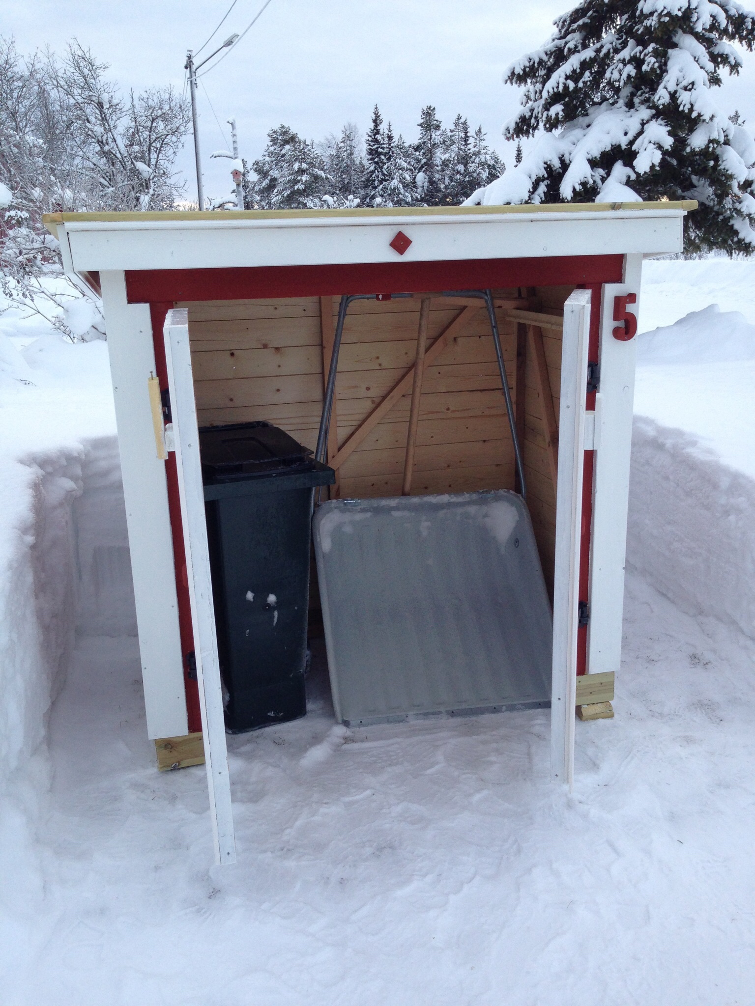
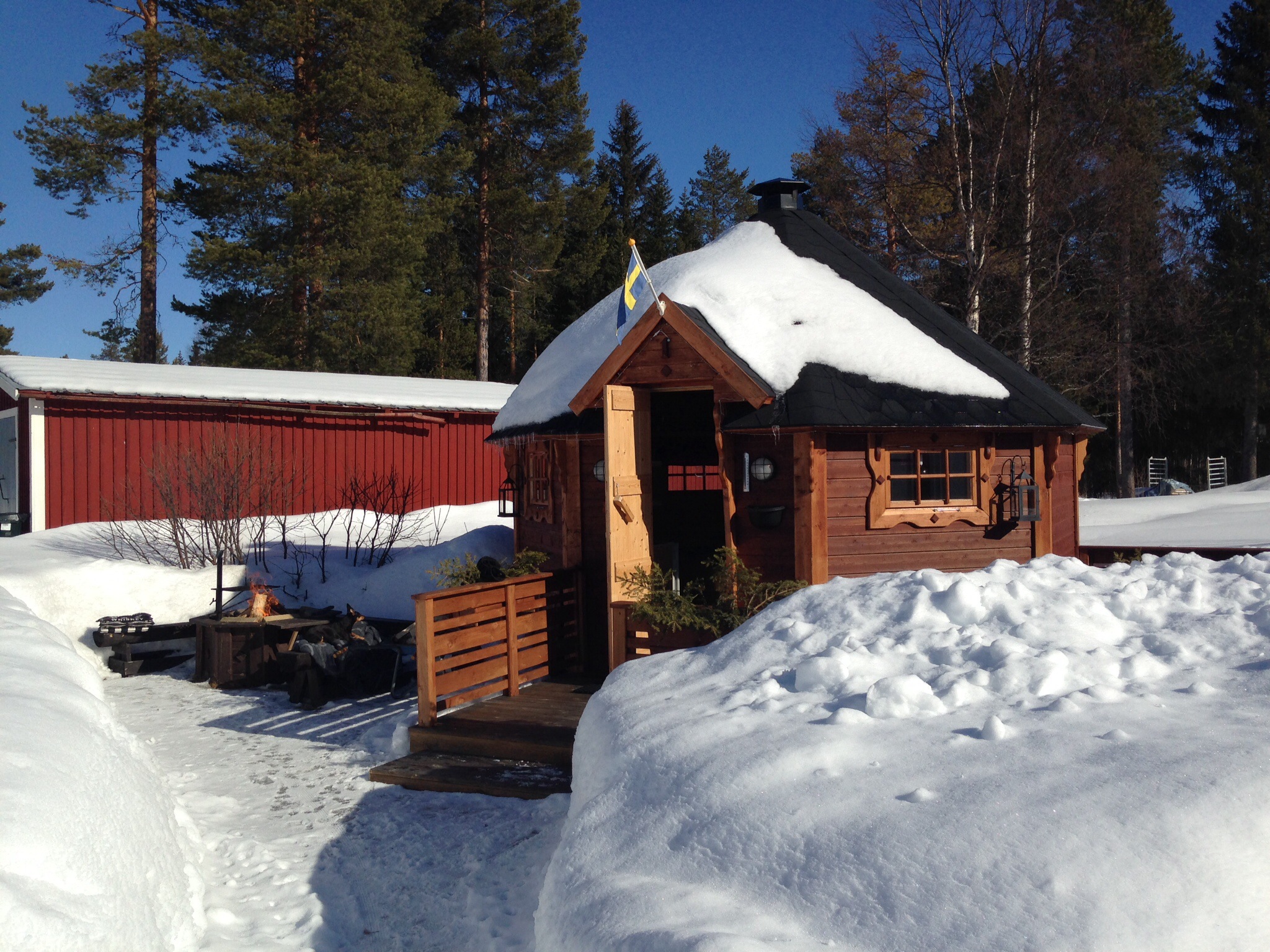
Bod för soptunnor.
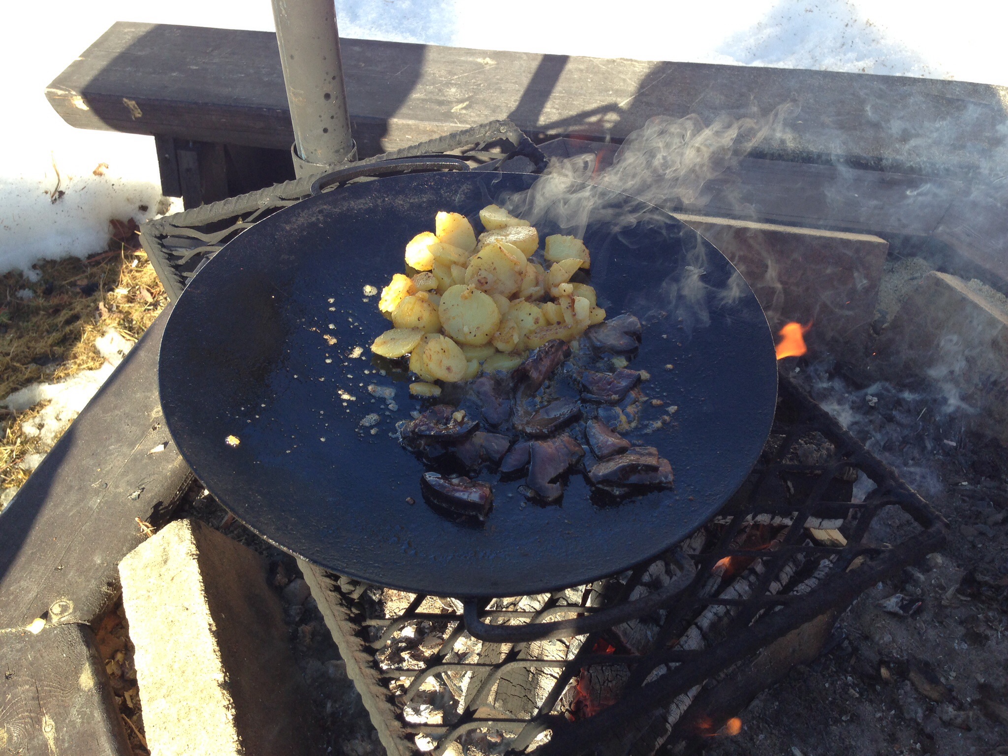
Blandade kort.
Blandade kort.
Blandade kort.
Blandade kort.
Blandade kort.
Blandade kort.
Blandade kort.
Blandade kort.
Blandade kort.
Blandade kort.
Blandade kort.
Blandade kort.
Blandade kort.
Blandade kort.
Blandade kort.
Blandade kort.
Blandade kort.
Blandade kort.
Blandade kort.
Blandade kort.
Topographic Map of SVARTLIDEN 6, 81 Glommersträsk, Sweden
Find elevation by address:

Places near SVARTLIDEN 6, 81 Glommersträsk, Sweden:
Arvidsjaur Ö
Renträsk
Deppis
Fjällbonäs, 91 Arvidsjaur, Sweden
Fjällbonäs
Arvidsjaur
Fromheden
Fromheden 10, 93 Norsjö, Sweden
Bjurfors 2, 93 Norsjö, Sweden
Arvidsjaur
RENUDDEN 10, 91 Arvidsjaur, Sweden
Arvidsjaur No
Moskosel
UDDVÄGEN 7, 86 Moskosel, Sweden
Moskoselet
UTTERBACKEN 5, 99 Arvidsjaur, Sweden
KINA 5, 71 Rentjärn, Sweden
Suddesjaur 1, 86 Moskosel, Sweden
Malå N
Suddesjaur
Recent Searches:
- Elevation of Corso Fratelli Cairoli, 35, Macerata MC, Italy
- Elevation of Tallevast Rd, Sarasota, FL, USA
- Elevation of 4th St E, Sonoma, CA, USA
- Elevation of Black Hollow Rd, Pennsdale, PA, USA
- Elevation of Oakland Ave, Williamsport, PA, USA
- Elevation of Pedrógão Grande, Portugal
- Elevation of Klee Dr, Martinsburg, WV, USA
- Elevation of Via Roma, Pieranica CR, Italy
- Elevation of Tavkvetili Mountain, Georgia
- Elevation of Hartfords Bluff Cir, Mt Pleasant, SC, USA