Elevation of Suyama, Shūnan-shi, Yamaguchi-ken -, Japan
Location: Japan > Yamaguchi Prefecture > Shunan >
Longitude: 131.778840
Latitude: 34.2134275
Elevation: 367m / 1204feet
Barometric Pressure: 97KPa
Elevation Map:
Satellite Map:
Related Photos:
ご近所
あざみケ岳
Tokuyama -徳山市 12
IMG_20160618_141527.jpg
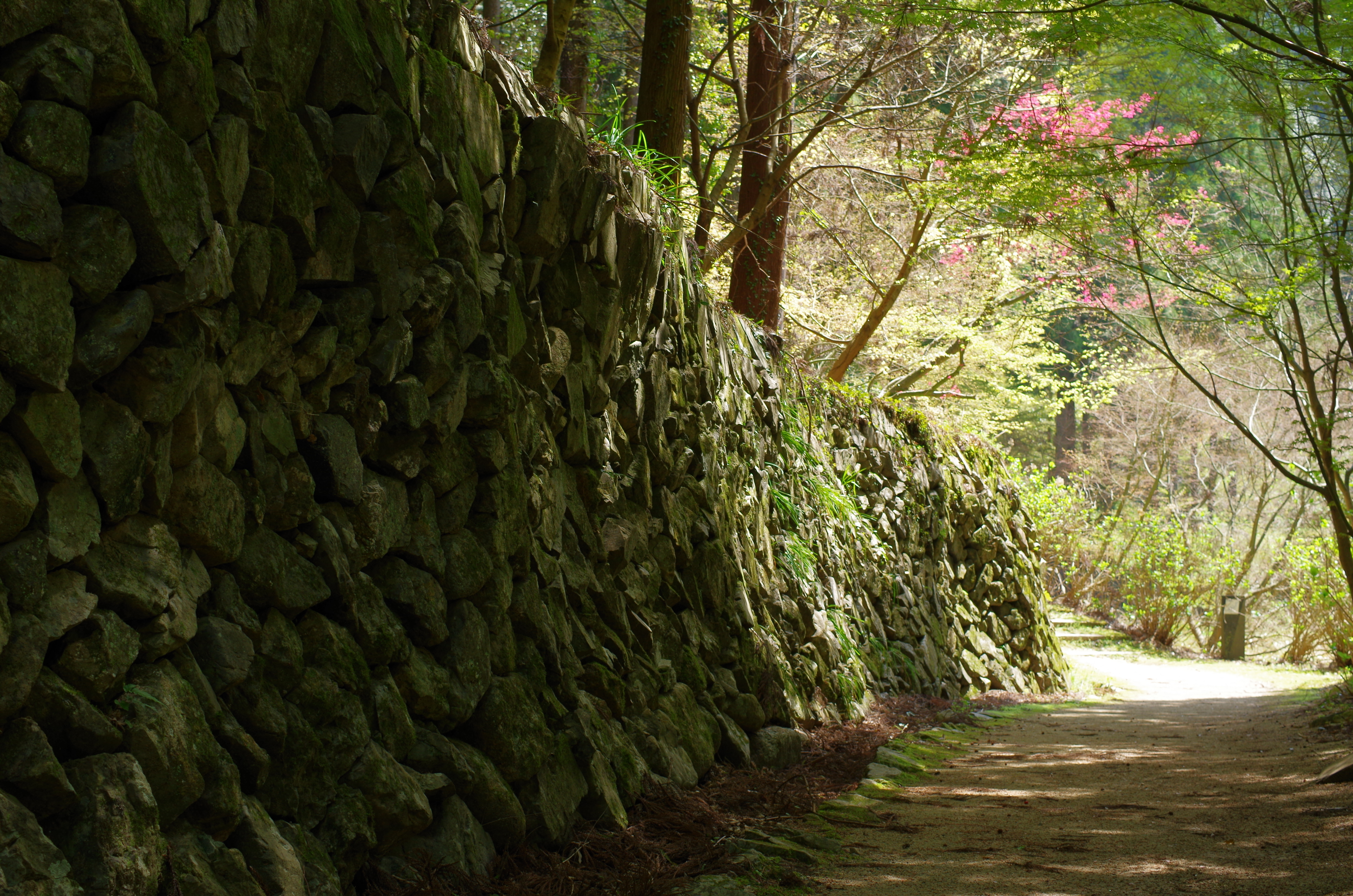
重源の里
IMG_20160618_141514.jpg
Tokuyama -徳山市 6
IMG_20160618_141613.jpg
IMG_20160618_120747.jpg
IMG_20160618_120726.jpg
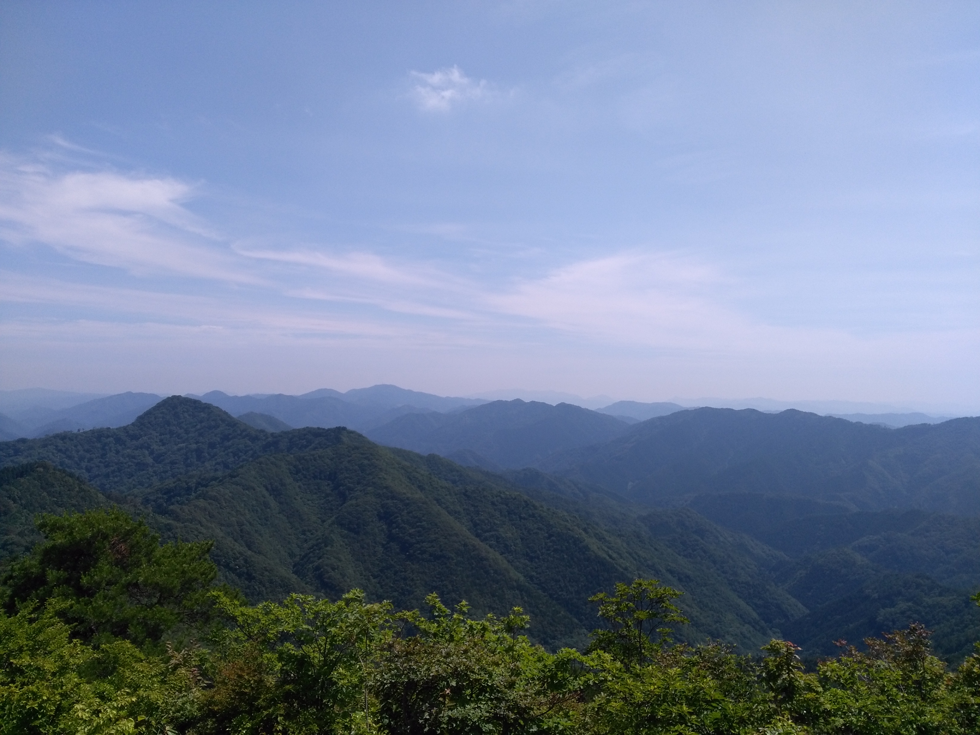
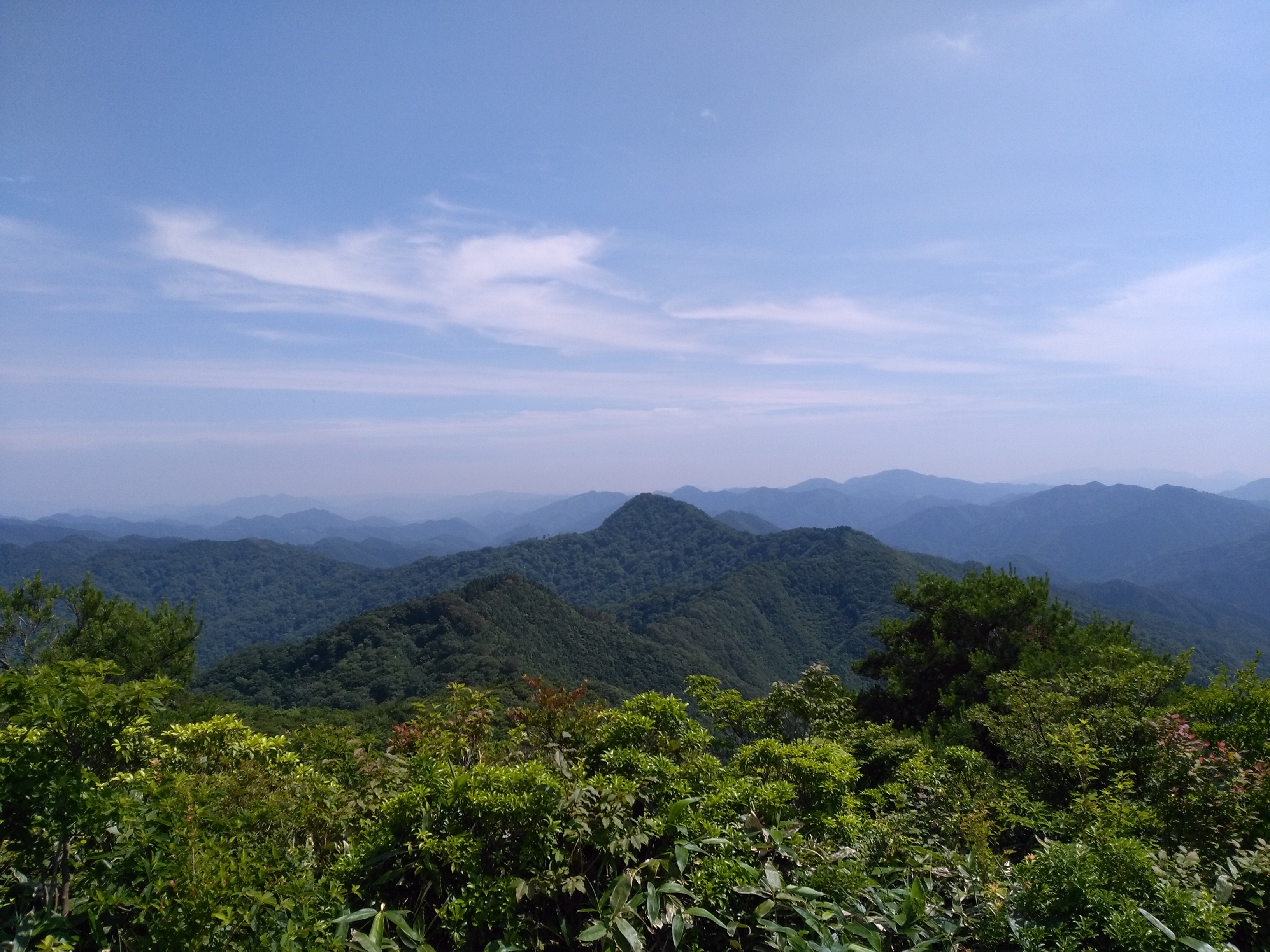
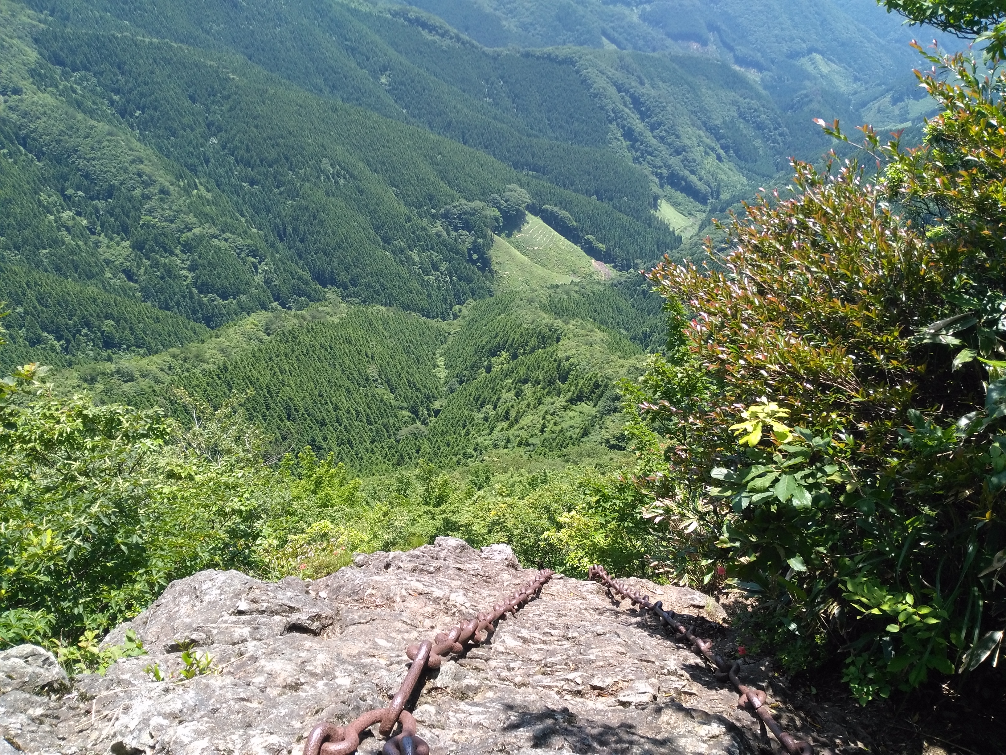
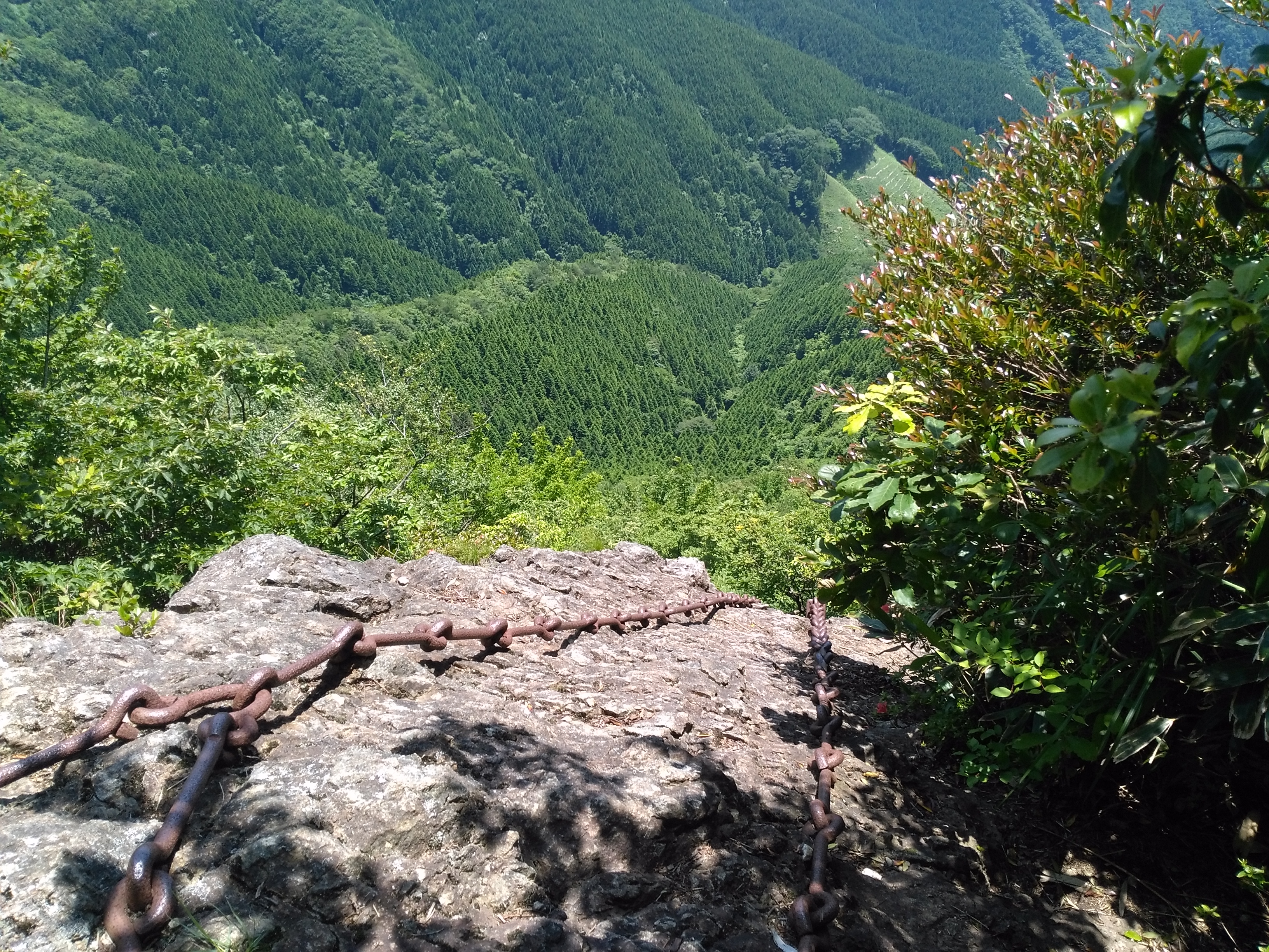
現場の仕事が、思惑より早く終わっちゃいました。今、帰社中!中国山地も夏の空です。ちょっと休憩!慌てず帰ろ!
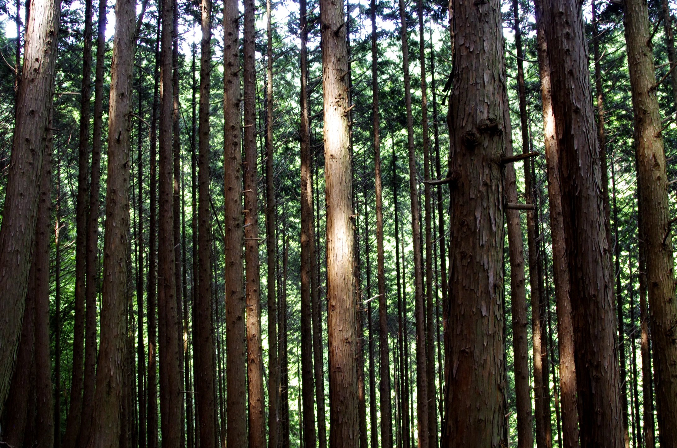
冬はホワイトライオンかな!

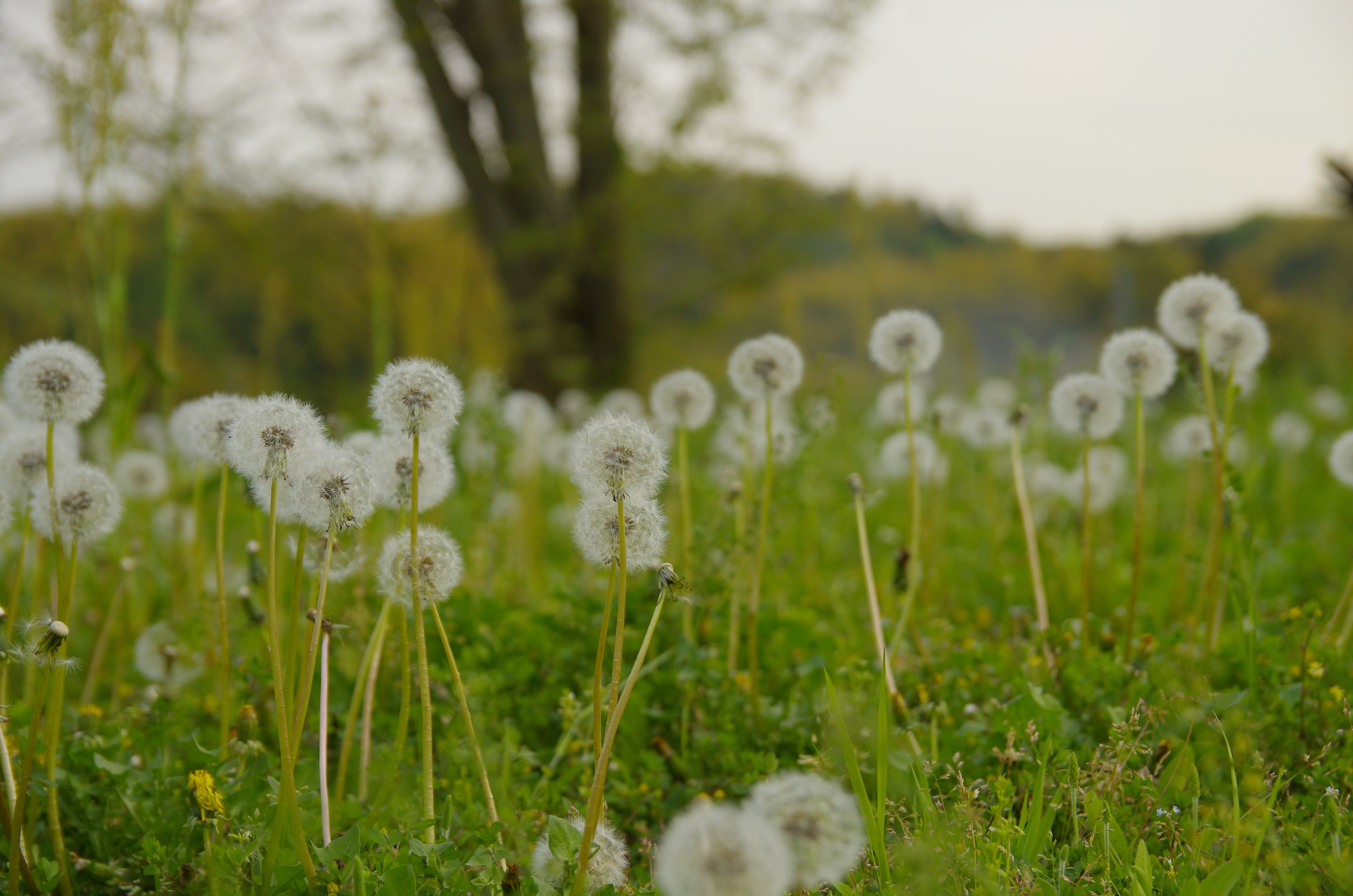
棚田だな。
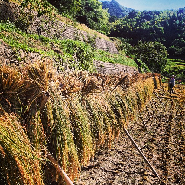
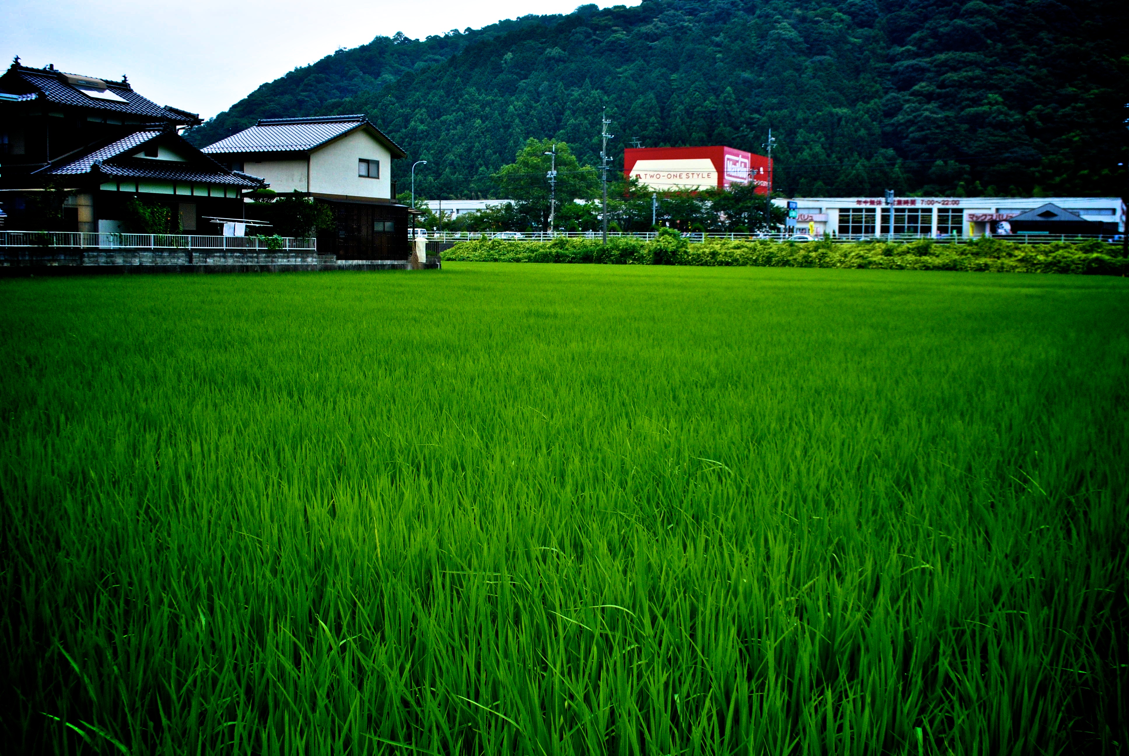
喜寿のお祝いで帰省したら、イノシシが出て急遽稲刈りに。新米が近い。

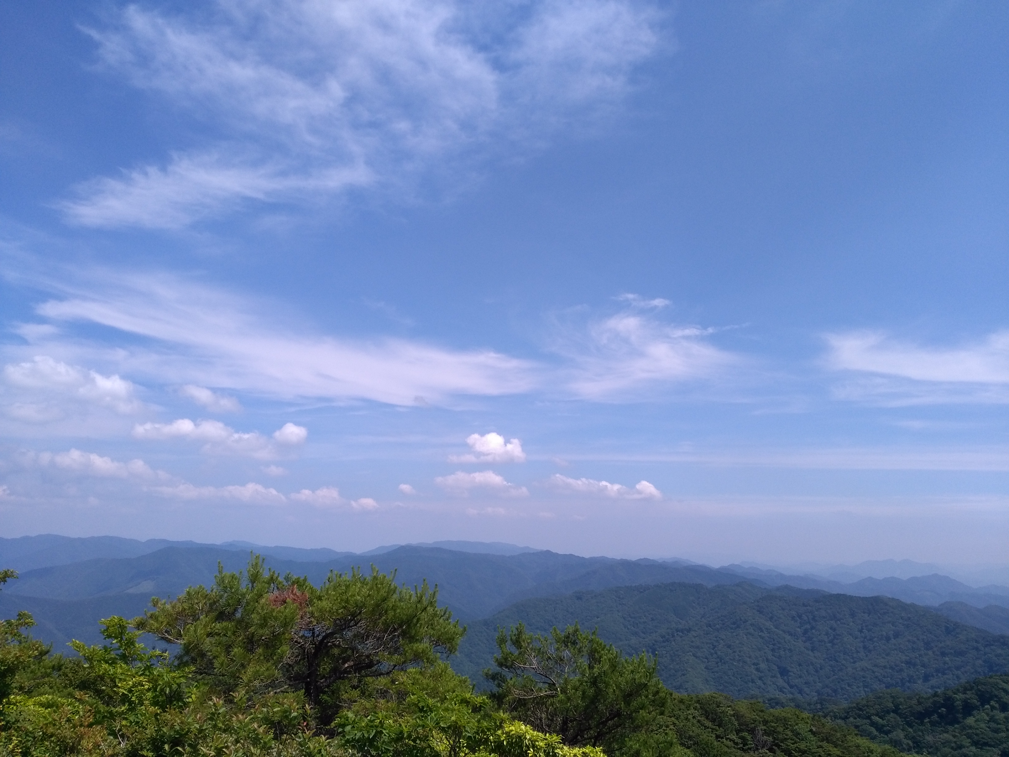
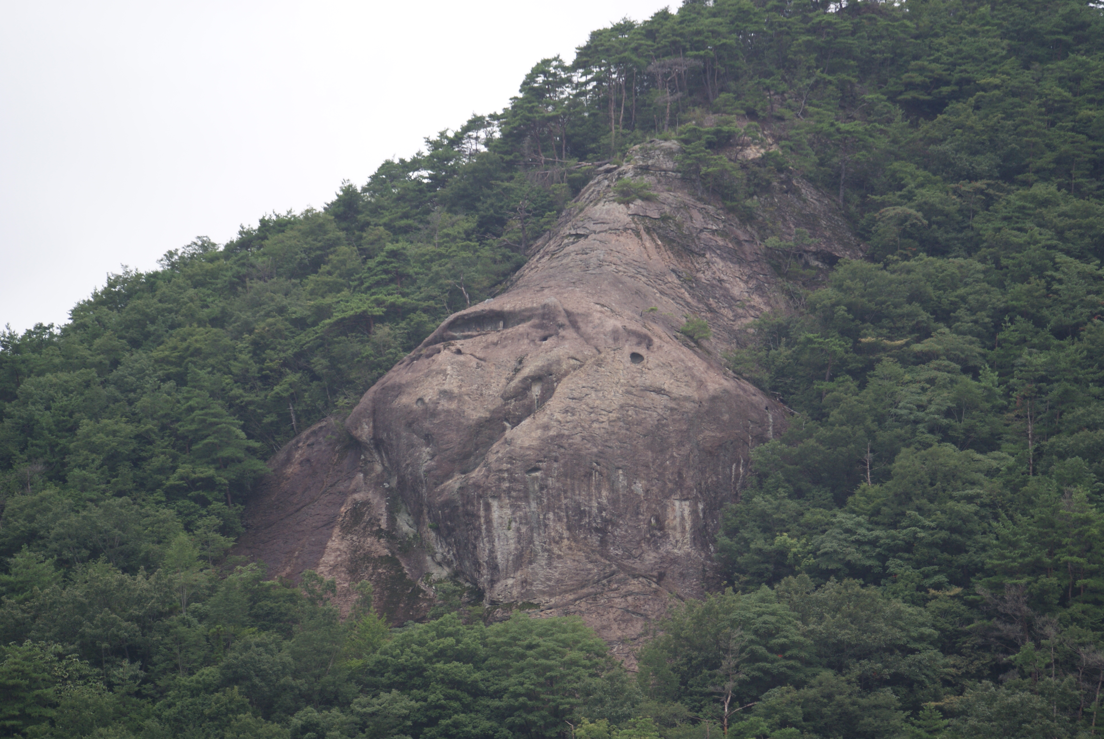
神上神社より
Topographic Map of Suyama, Shūnan-shi, Yamaguchi-ken -, Japan
Find elevation by address:

Places near Suyama, Shūnan-shi, Yamaguchi-ken -, Japan:
Kanonaka, Shūnan-shi, Yamaguchi-ken -, Japan
Kanonaka, Shūnan-shi, Yamaguchi-ken -, Japan
Kanonaka, Shūnan-shi, Yamaguchi-ken -, Japan
Kanoshimo, Shūnan-shi, Yamaguchi-ken -, Japan
80 Ōshio, Shūnan-shi, Yamaguchi-ken -, Japan
Kanoshimo, Shūnan-shi, Yamaguchi-ken -, Japan
Ōshio, Shūnan-shi, Yamaguchi-ken -, Japan
Ōmukai, Shūnan-shi, Yamaguchi-ken -, Japan
Kanokami, Shūnan-shi, Yamaguchi-ken -, Japan
Ōmukai, Shūnan-shi, Yamaguchi-ken -, Japan
Ōshio, Shūnan-shi, Yamaguchi-ken -, Japan
Ōdōri, Shūnan-shi, Yamaguchi-ken -, Japan
Ōdōri, Shūnan-shi, Yamaguchi-ken -, Japan
Ōdōri, Shūnan-shi, Yamaguchi-ken -, Japan
-4 Nagaho, Shūnan-shi, Yamaguchi-ken -, Japan
21 Kawakami, Shūnan-shi, Yamaguchi-ken -, Japan
Jōson, Shūnan-shi, Yamaguchi-ken -, Japan
Yuno, Shūnan-shi, Yamaguchi-ken -, Japan
Nihokamigō, Yamaguchi-shi, Yamaguchi-ken -, Japan
Miyanokami, Yamaguchi-shi, Yamaguchi-ken -, Japan
Recent Searches:
- Elevation of Corso Fratelli Cairoli, 35, Macerata MC, Italy
- Elevation of Tallevast Rd, Sarasota, FL, USA
- Elevation of 4th St E, Sonoma, CA, USA
- Elevation of Black Hollow Rd, Pennsdale, PA, USA
- Elevation of Oakland Ave, Williamsport, PA, USA
- Elevation of Pedrógão Grande, Portugal
- Elevation of Klee Dr, Martinsburg, WV, USA
- Elevation of Via Roma, Pieranica CR, Italy
- Elevation of Tavkvetili Mountain, Georgia
- Elevation of Hartfords Bluff Cir, Mt Pleasant, SC, USA